My first century involving a lot of gravel.
Related albums:
More after the break…
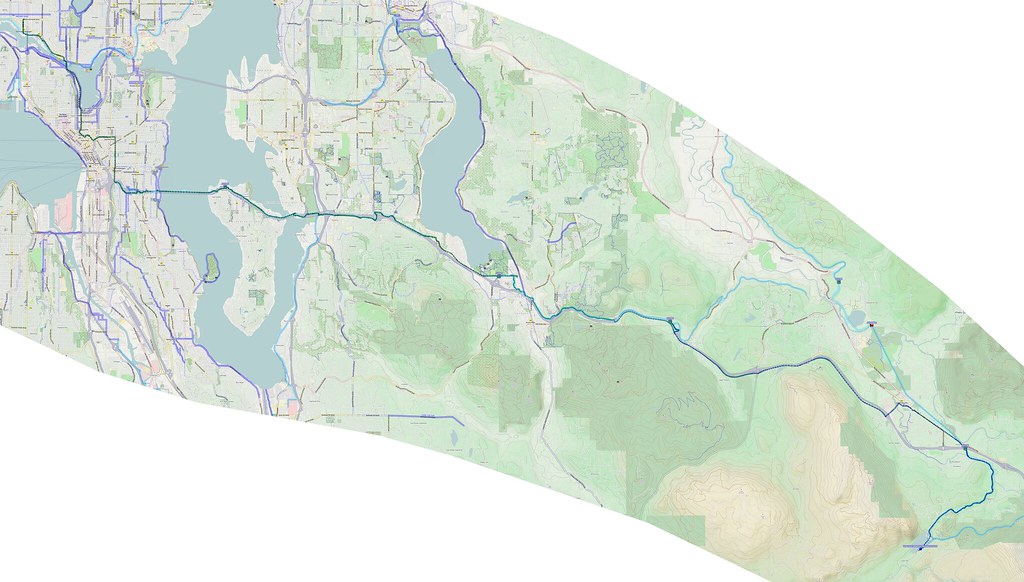
Part 1: To Rattlesnake Lake
I started at 05:00 like usual. There were some notable winds from the southeast making it a bit difficult.
The winds in Seattle weren't much fun.
— 竹下憲二 (@takeshita_kenji) March 21, 2015
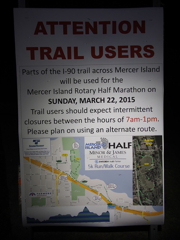
When I hit downtown, I rode over Capitol Hill, then took the I-90 Trail to and across the floating bridge. When I stopped on Mercer Island, I noticed this sign for the Mercer Island Half Marathon.
From there, I took my normal route through Factoria and up the hill, but then made the left onto the I-90 Trail again to avoid the alternatives.
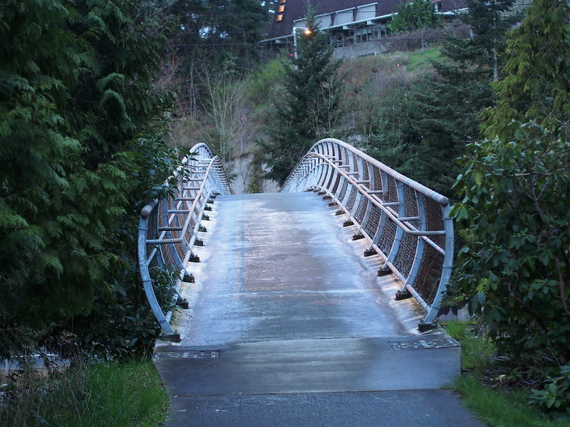
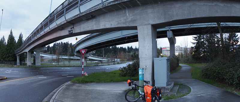
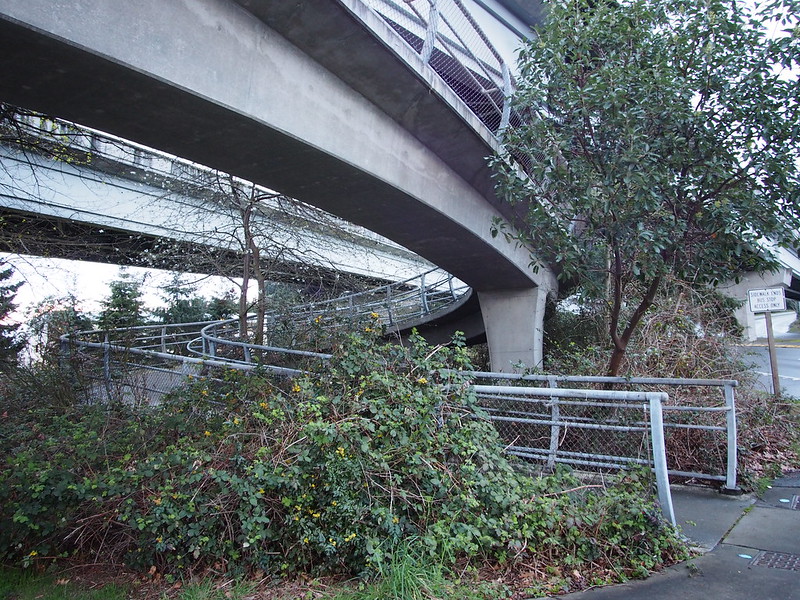
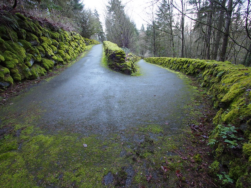
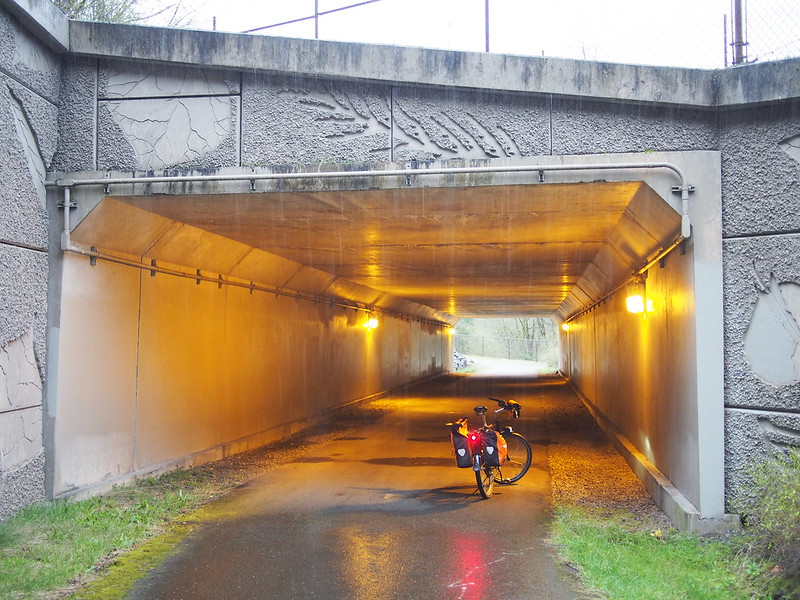
This eventually took me to an overpass that terminated in a tight spiral.
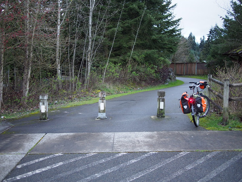
It took a bit of wayfinding to get to the Sunset Trail.
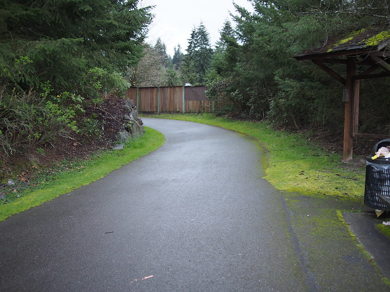
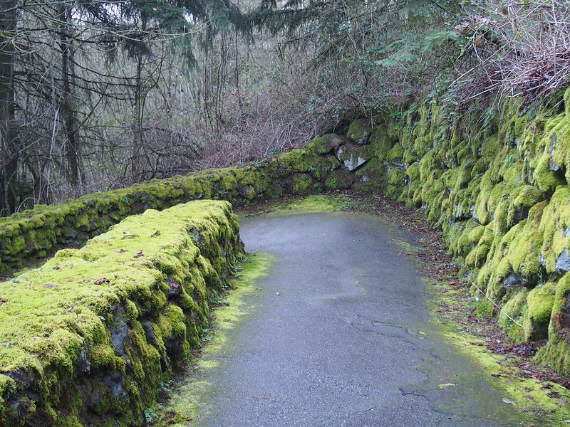
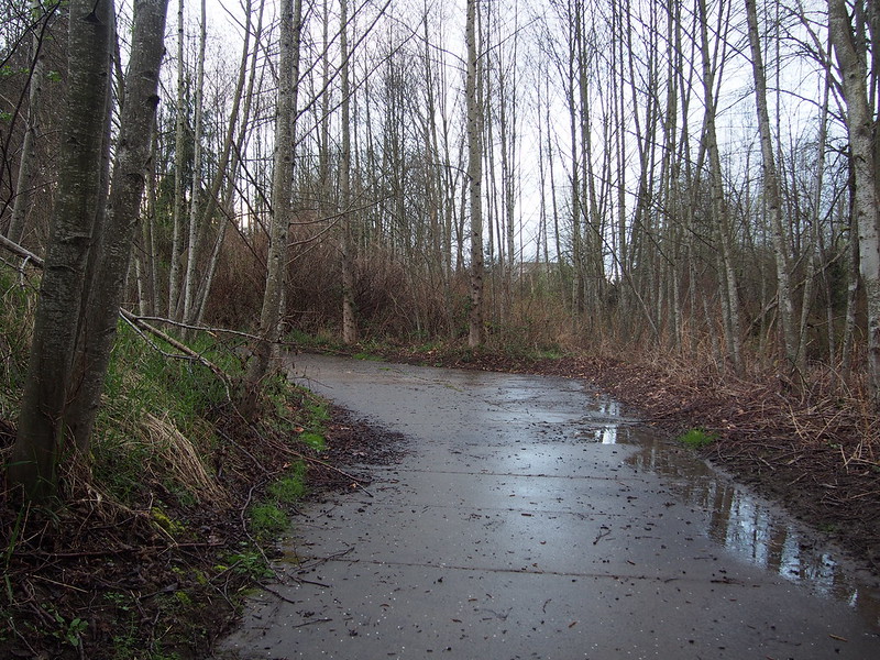
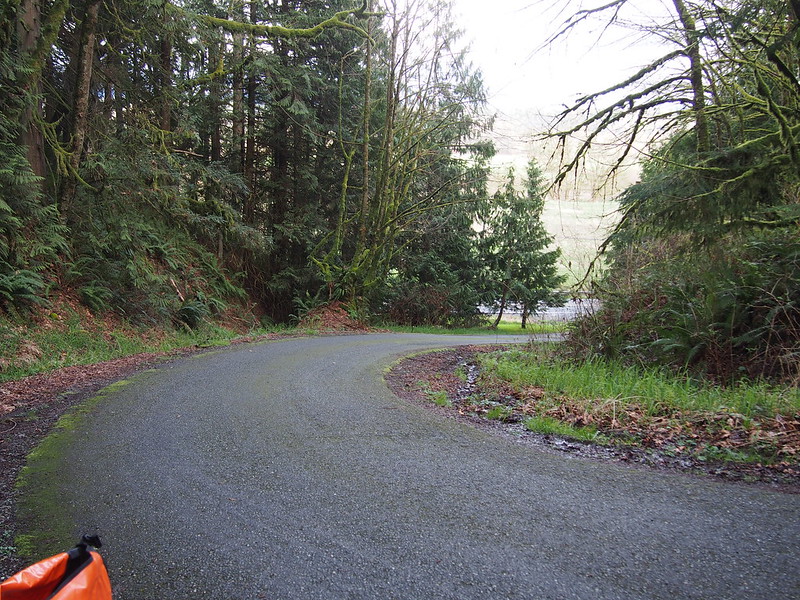
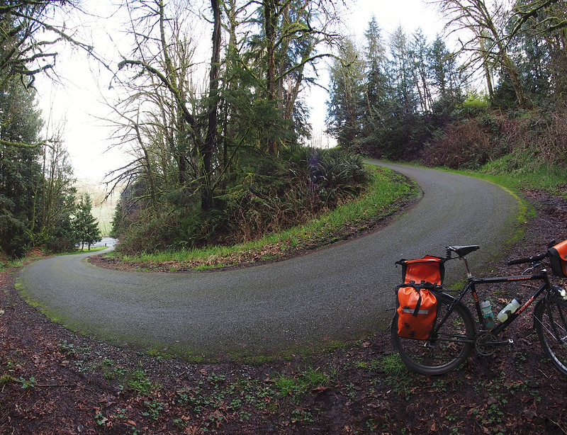
This trail was all downhill, and involved a tight set of switchbacks.
It ended in the West Lake Sammamish Parkway Trail, shortly before the big roundabout. I took the left there and used the same route I had recently.
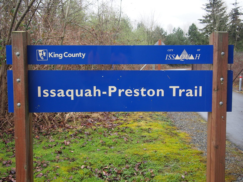
Since I was to use the Issaquah–Preston Trail, I used trails rather than roads once I got to Issaquah. This brought me through areas which I had no idea about.
I eventually ended up at the Rainier Trail, only to leave it once I got near I-90.
After climbing up to where the trail splits off from the Highlands Trail, I started going through new territory.
And this is when the rain hit.
Scattered showers.
— 竹下憲二 (@takeshita_kenji) March 21, 2015
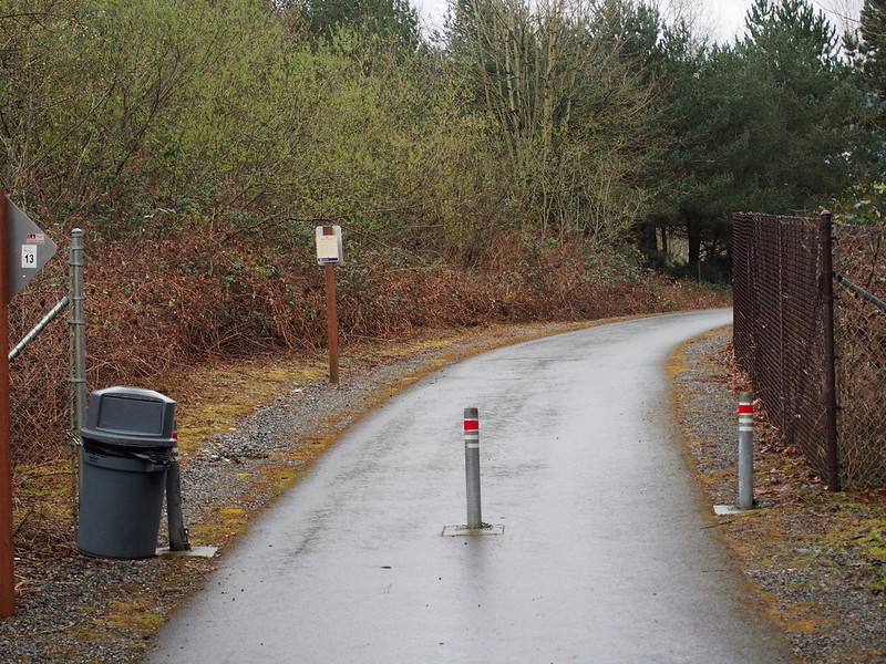
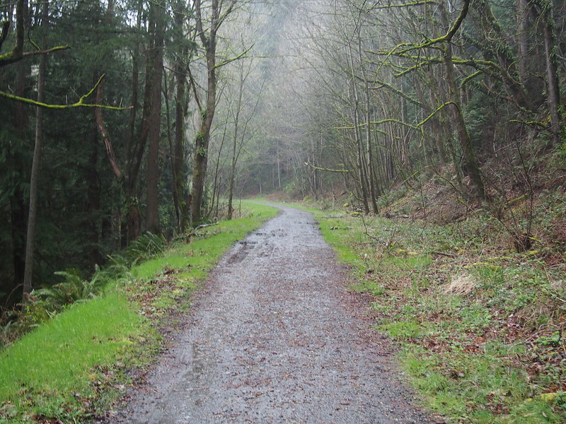
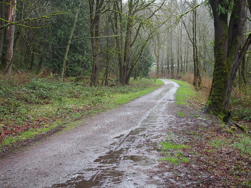
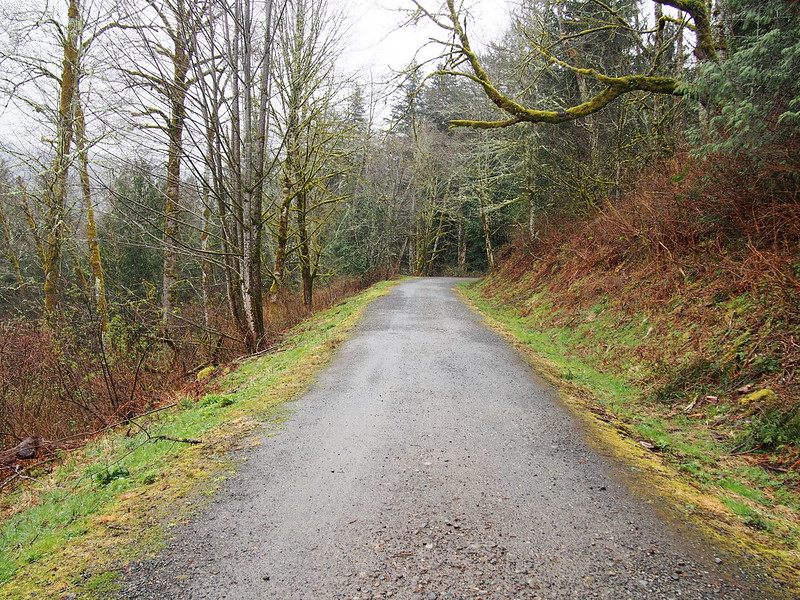
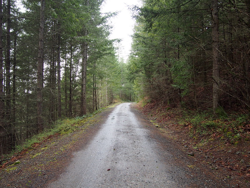
The trail seemed fine to start…
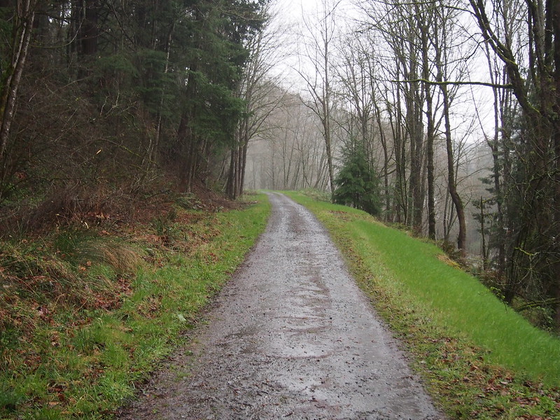
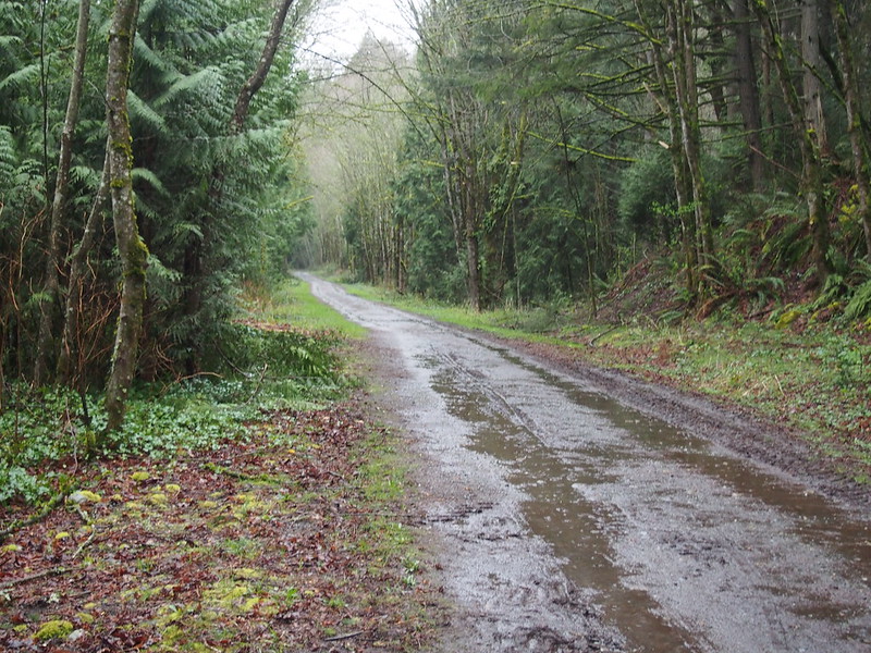
…but quickly degraded to mud.
Thankfully, those heavily-treaded tires of mine were able to manage.
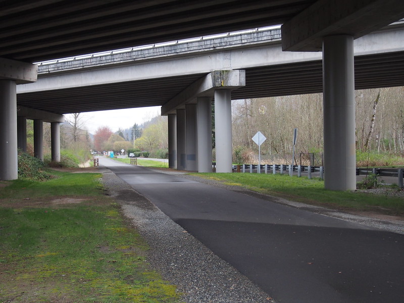
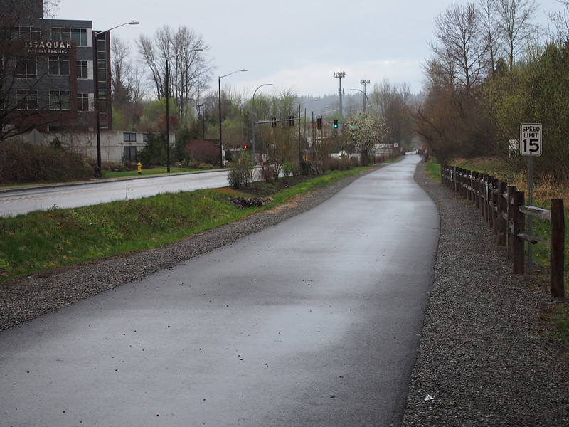
I left the trail at High Point Way and went on I-90, which was not my intention. My GPS's display was covered with drops of water and I was pretty stressed out by the downpour.
Accidentally left the Issaquah–Preston Trail early for I-90.
— 竹下憲二 (@takeshita_kenji) March 21, 2015
That trail isn't ideal for rainy riding but my tires kept their grip.
— 竹下憲二 (@takeshita_kenji) March 21, 2015
I doubled back when I got to Preston so I could see the eastern end of the cycletrack.
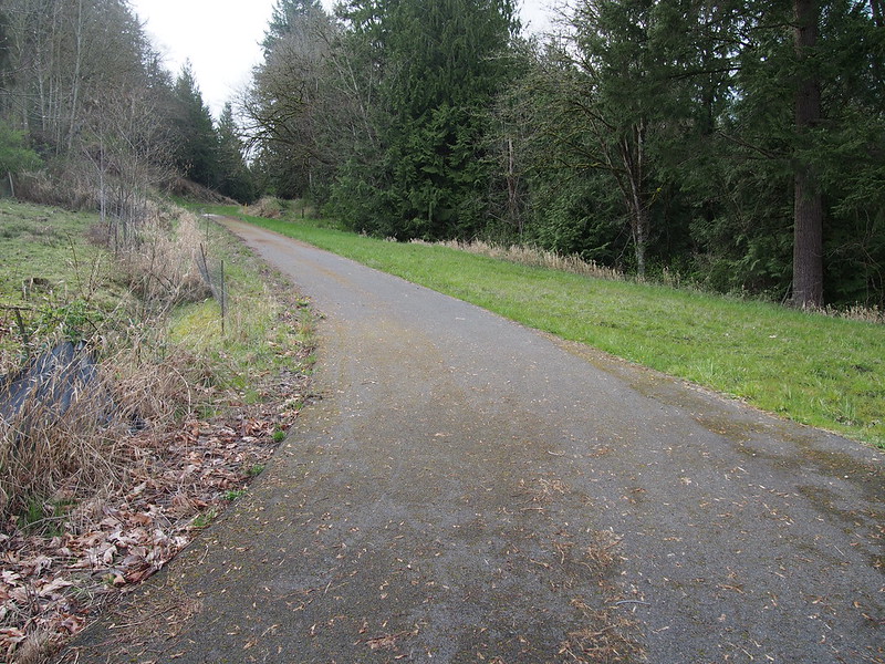
And the paved bit of the trail itself.
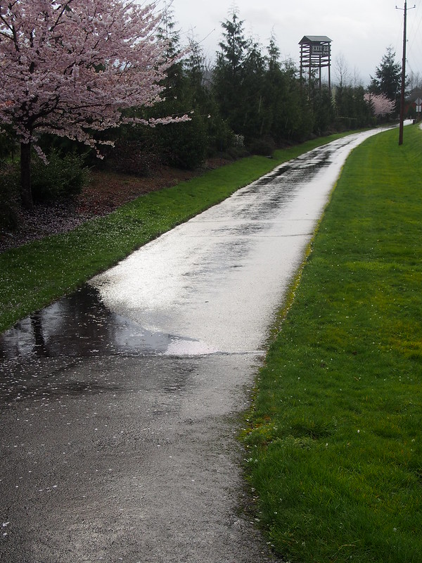
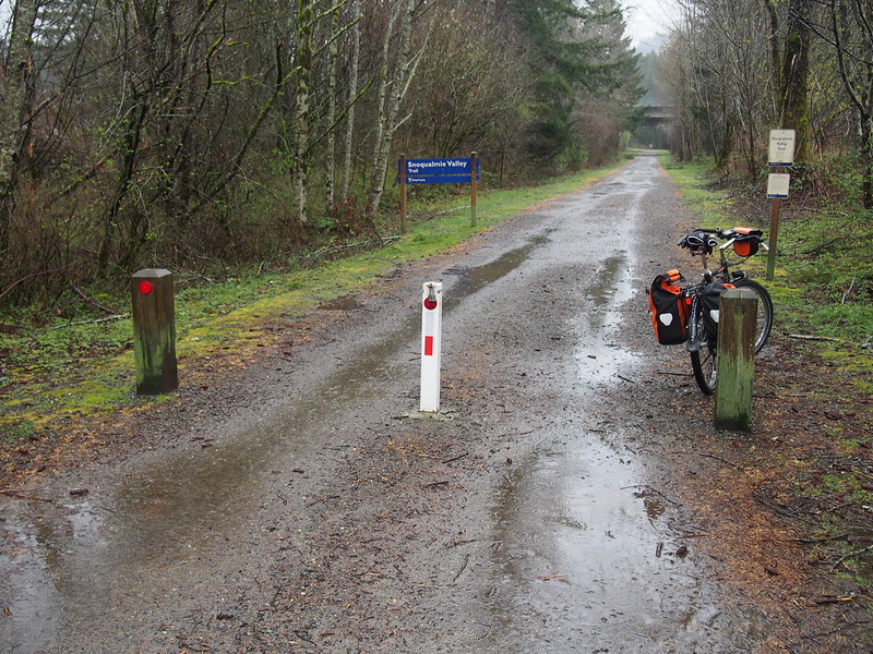
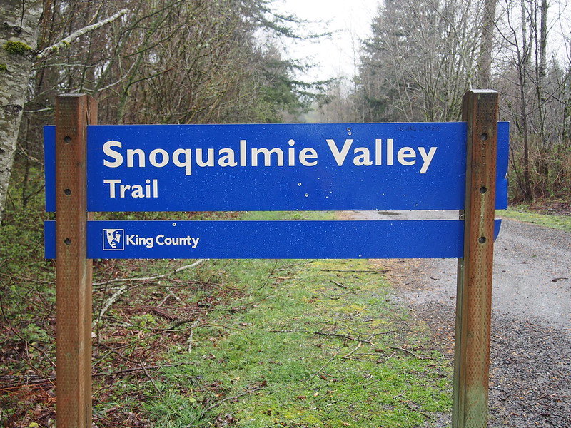
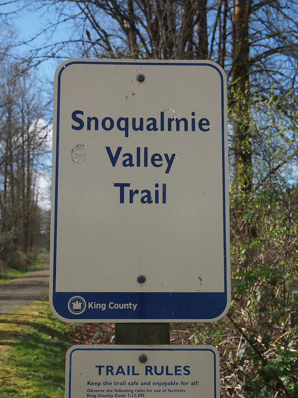
I next hit I-90 again, then left it at North Bend, following North Bend Way to the Snoqualmie Valley Trail.
This wind and rain are extremely unfun.
— 竹下憲二 (@takeshita_kenji) March 21, 2015
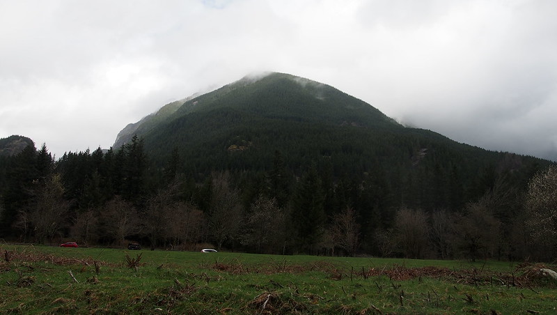
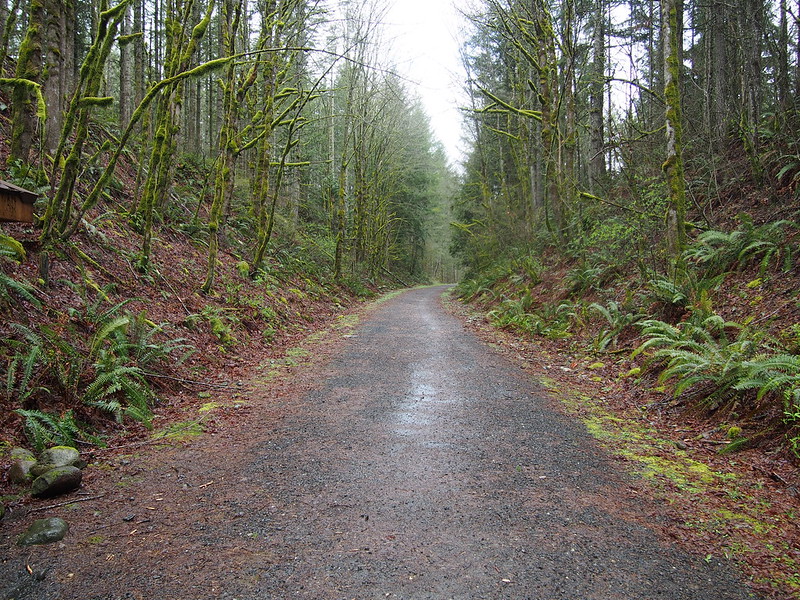
Using the trail, I climbed my way up the hill to Rattlesnake Lake.
I then stopped at the Cedar River Watershed Education Center to dry off before heading back down the hill.
Part 2: Snoqualmie Valley Trail
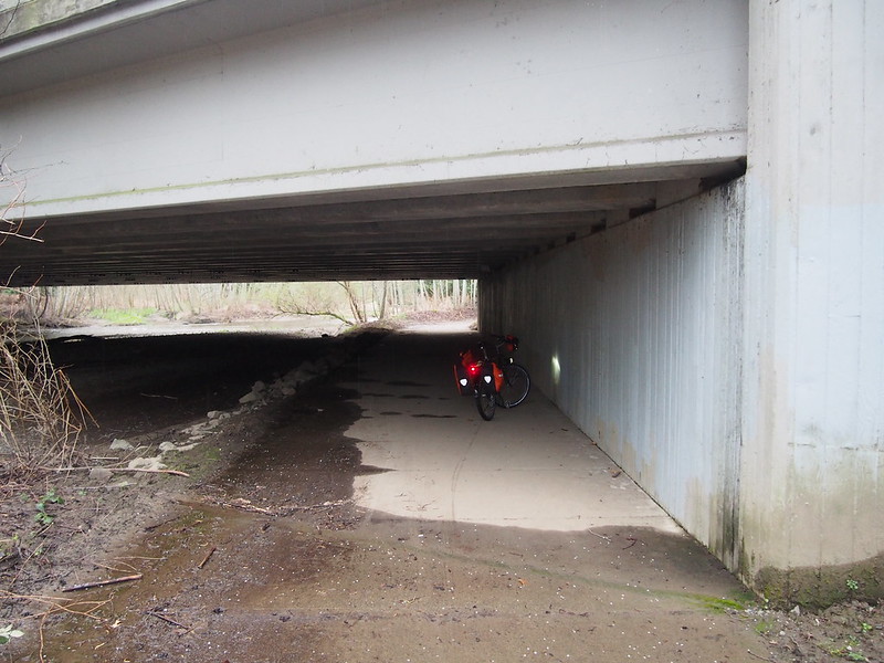
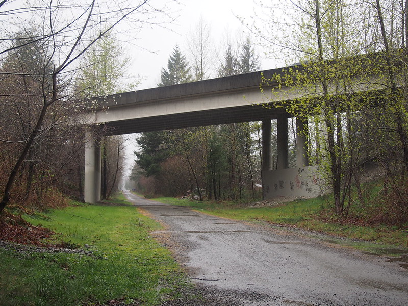
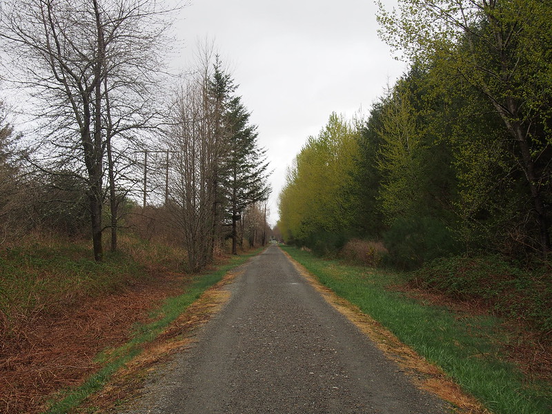
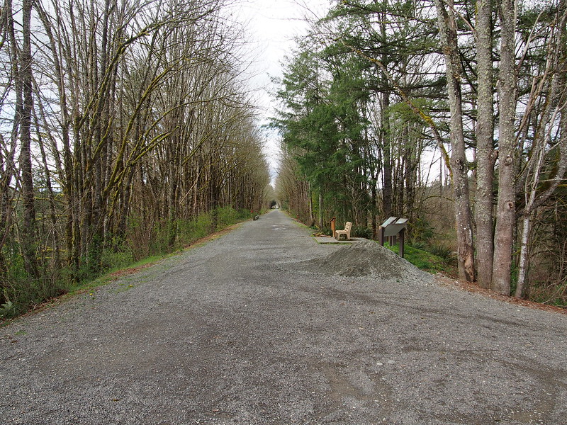
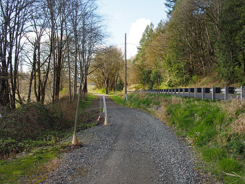
And under I-90 and along the more level section of the trail I went.
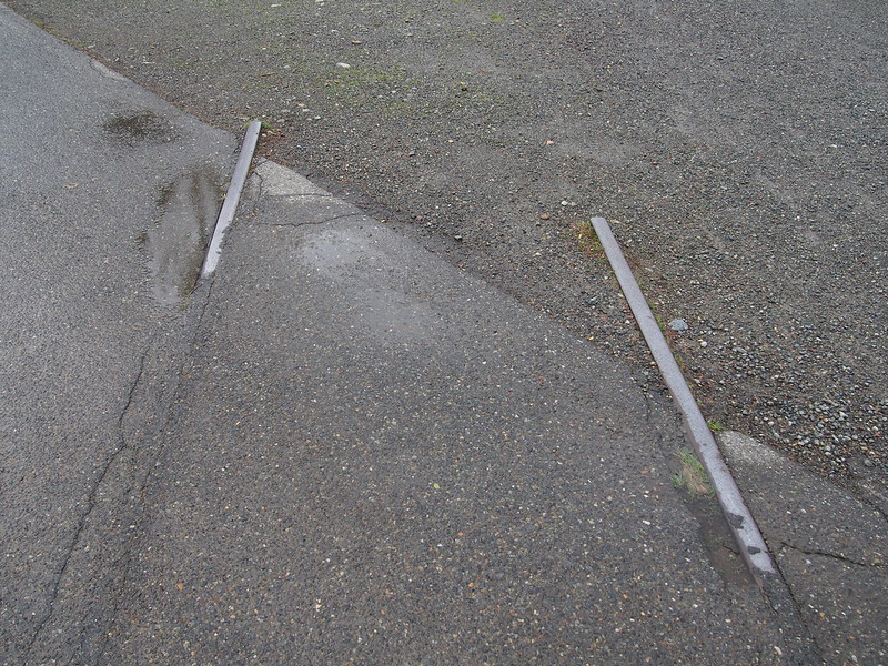
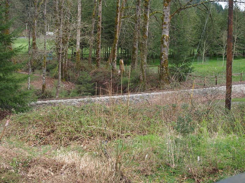
I came across the railroad tracks of the old branch line through the valley, whose right-of-way is now used by the trail.
When I rode through North Bend, I saw a bunch of tents and folks in cycling attire, and they said there was a ride going on. I'm guessing it's this, but I'm not 100% sure.
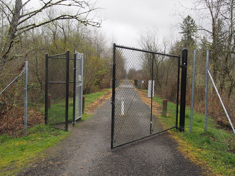
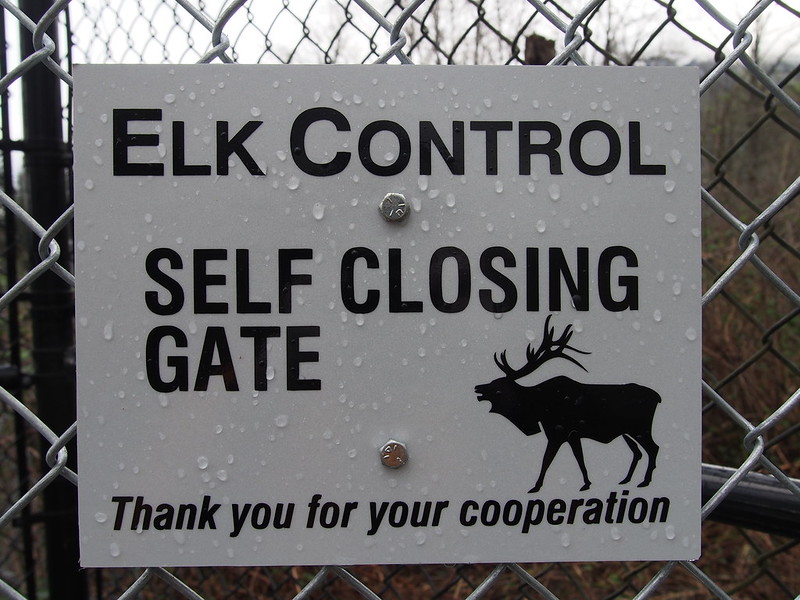
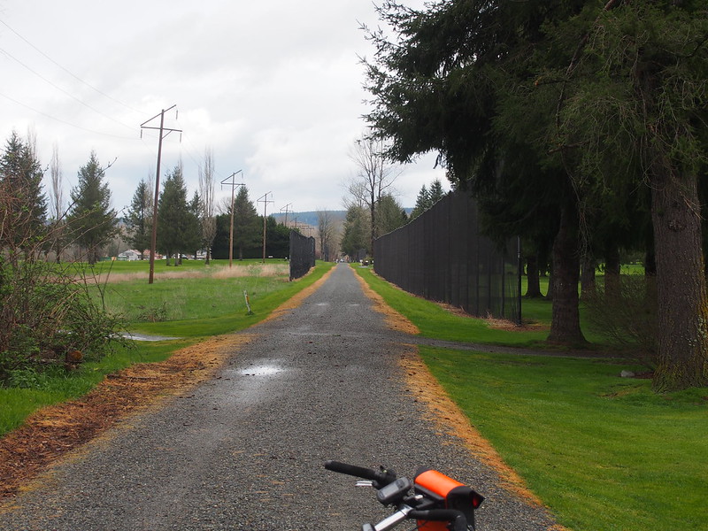
I eventually rode through the Mt. Si Golf Course, which had a "self-closing gate" that was open.
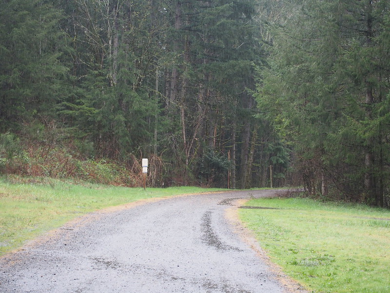
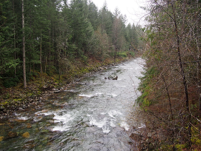
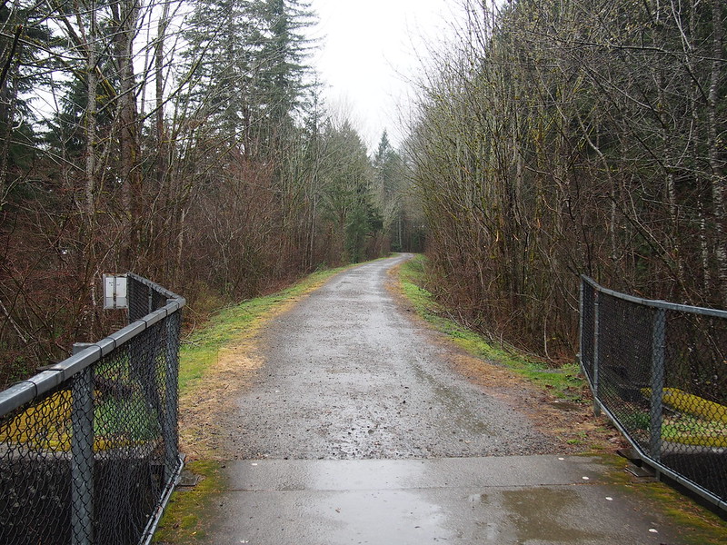
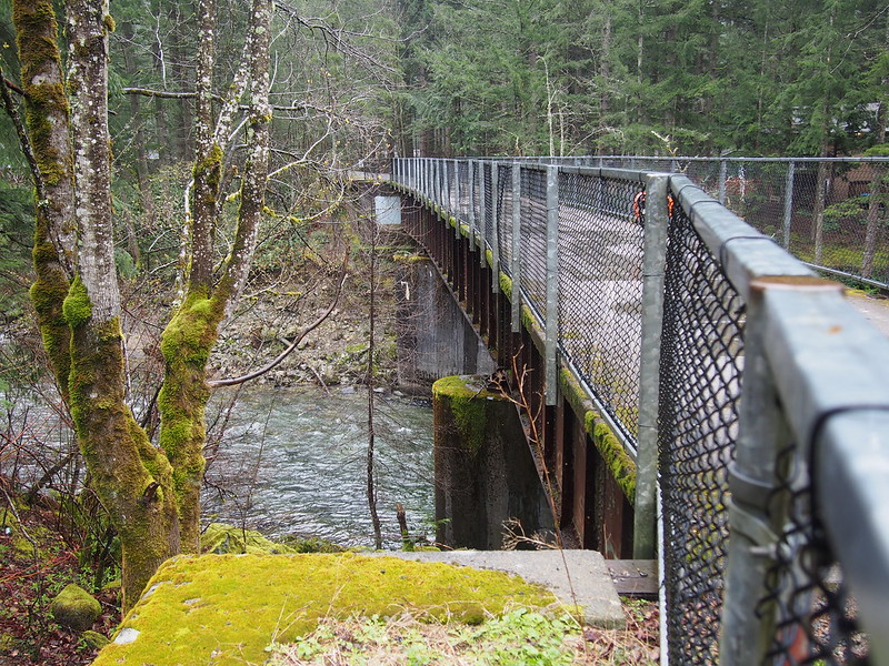
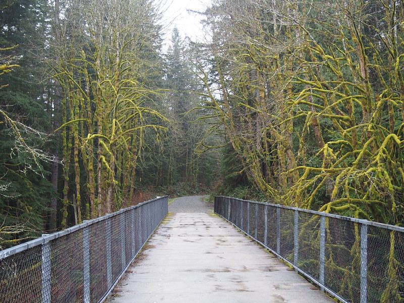
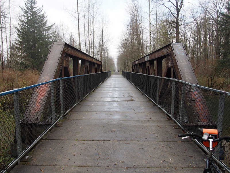
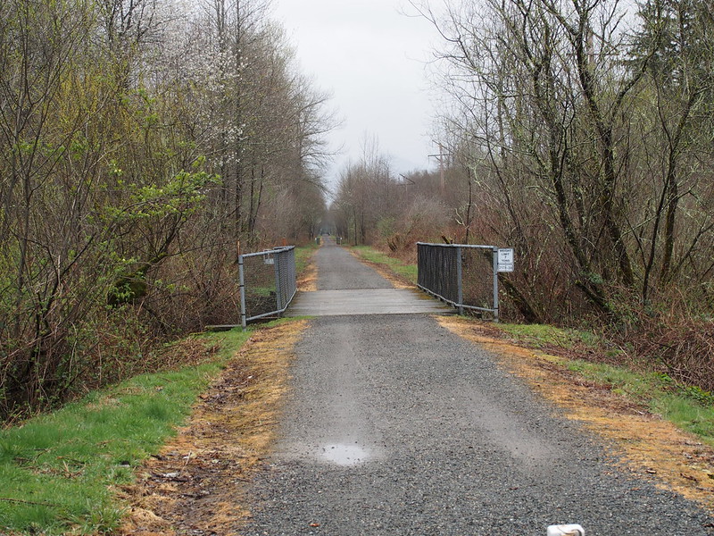
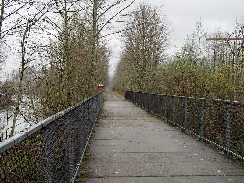
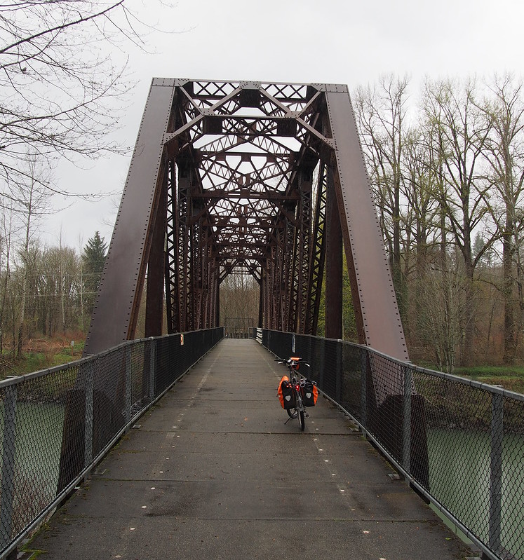
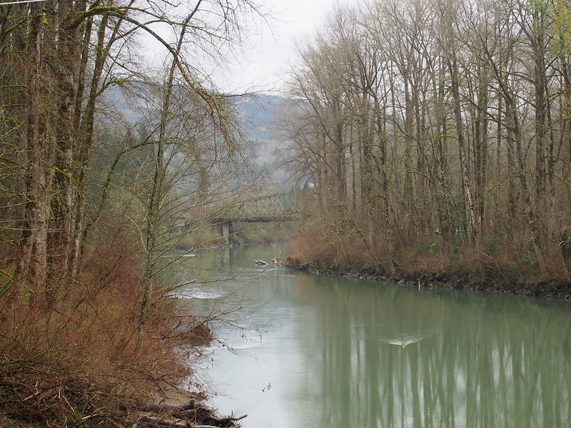
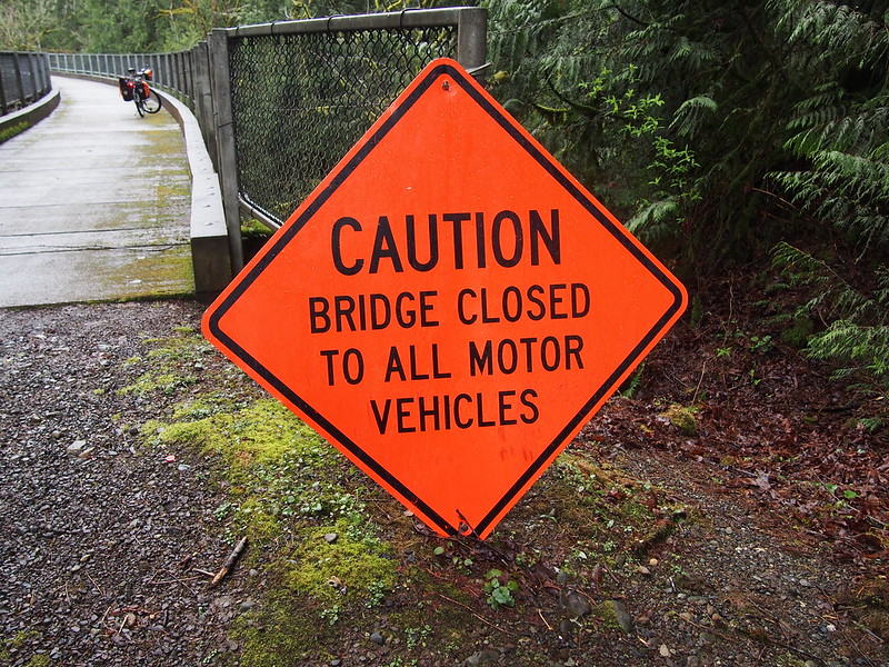
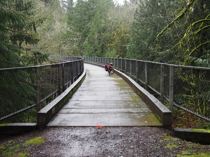
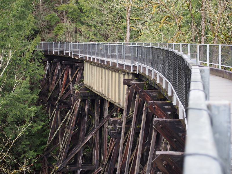
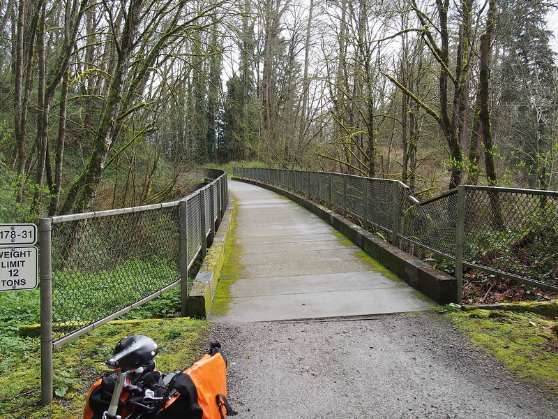
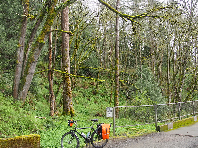
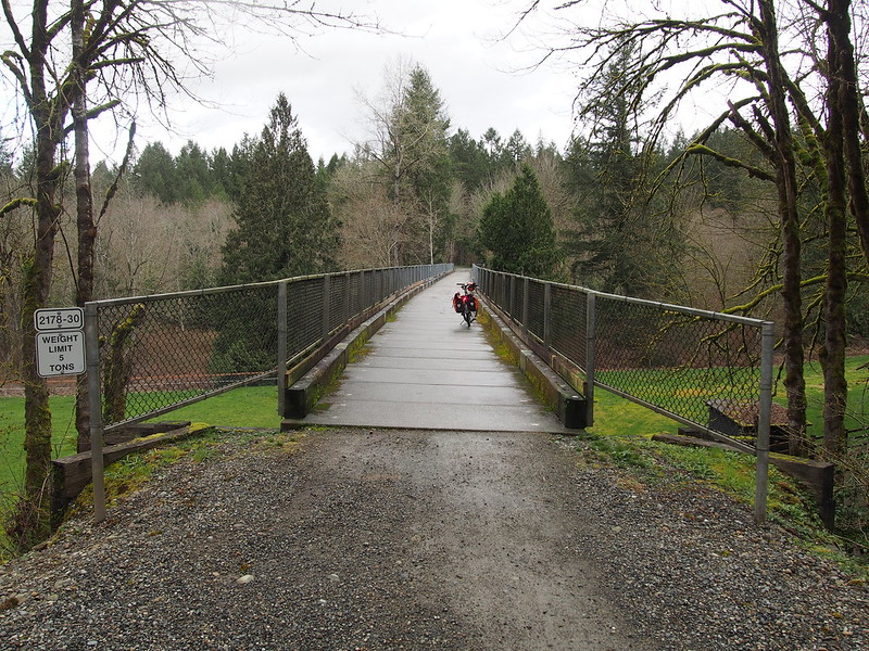
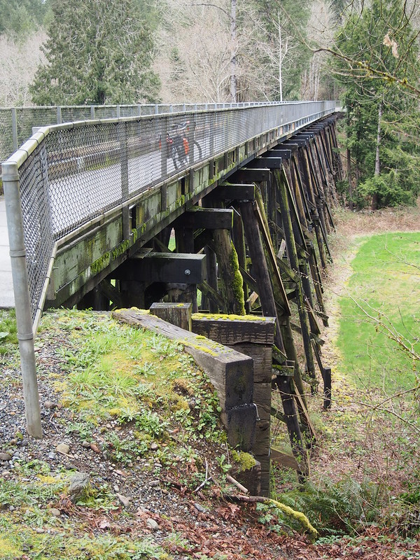
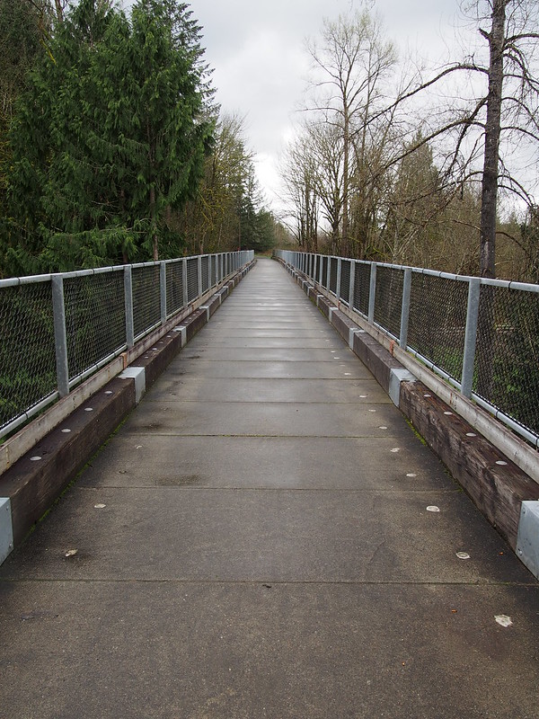
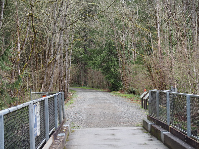
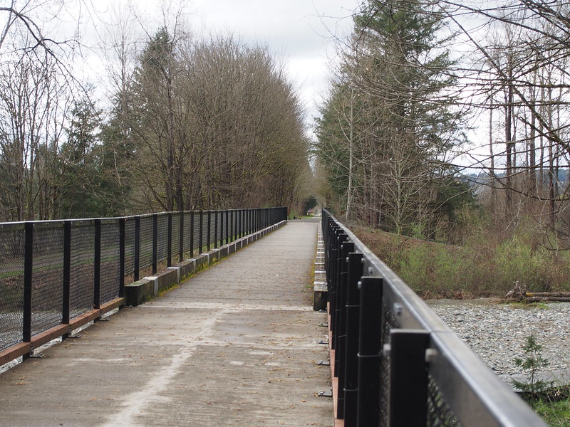
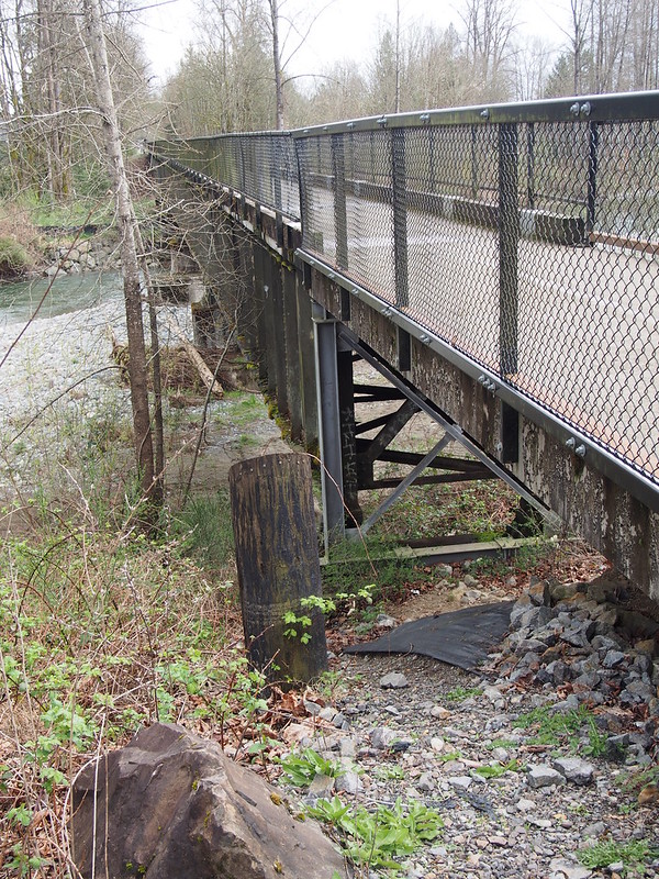
Eventually I passed a "TRAIL CLOSED" sign on the Reinig Bridge.
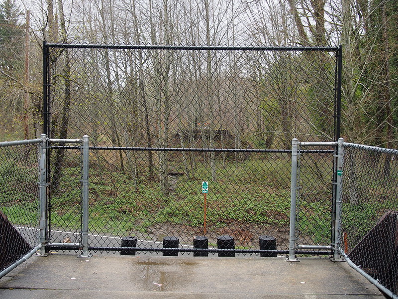
The closure was at this fence, which used to be a set of stairs down to the road that someone burned down. Humanity sure is 'great,' eh?
I noticed a number of folks racing along Reinig Road.
Some sort of bike race is taking place out here.
— 竹下憲二 (@takeshita_kenji) March 21, 2015
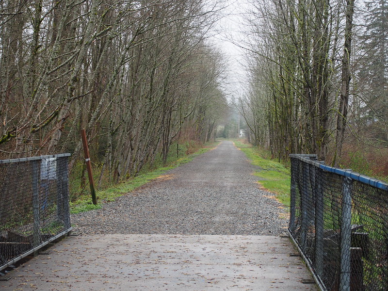
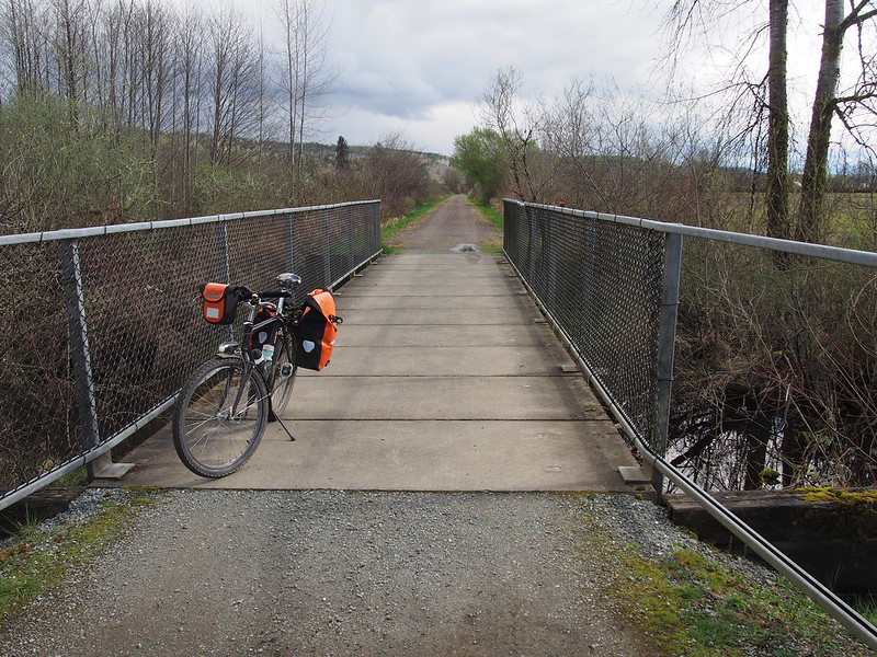
The trail had a closure at the end of a bridge, so I had to double back at one point.
— 竹下憲二 (@takeshita_kenji) March 21, 2015
After doubling back and getting back to the main road, I took that through the city of Snoqualmie, then rejoined my route. After popping a wheelie up a tight, steep right turn, I turned to the left and chilled out for a second. One of the guys affiliated with the race offered me orange juice or coffee, but I politely declined.
I did a wheelie going up a hill on my second-lowest gear. Looks like I won't be going much lower than 26:28.
— 竹下憲二 (@takeshita_kenji) March 21, 2015
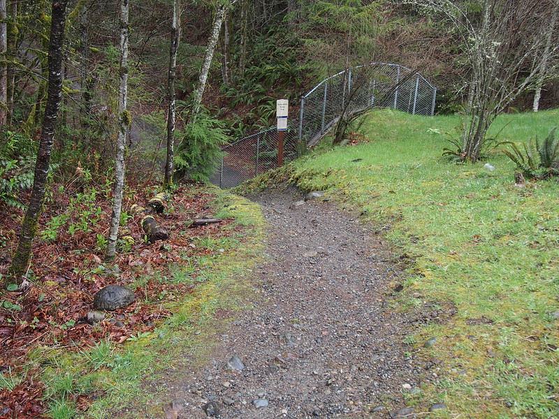
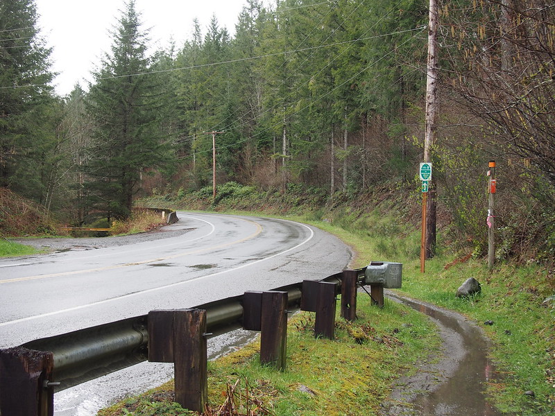
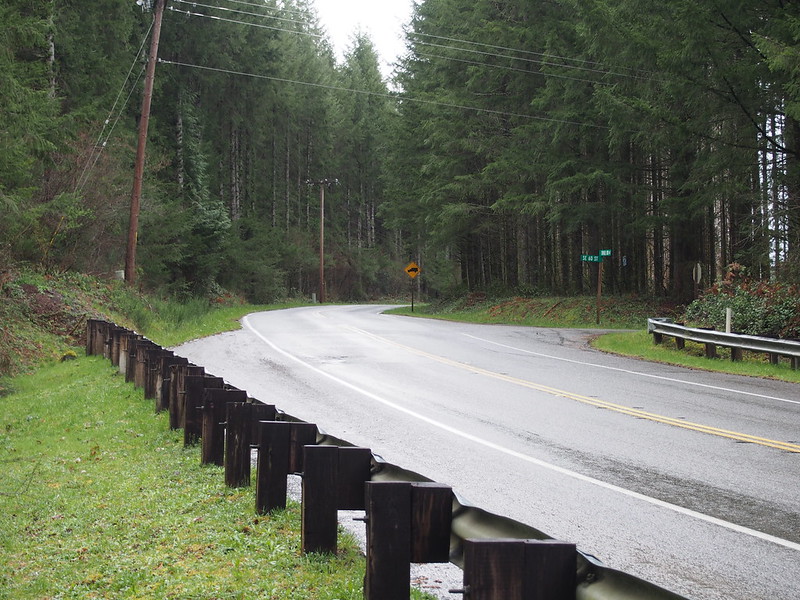
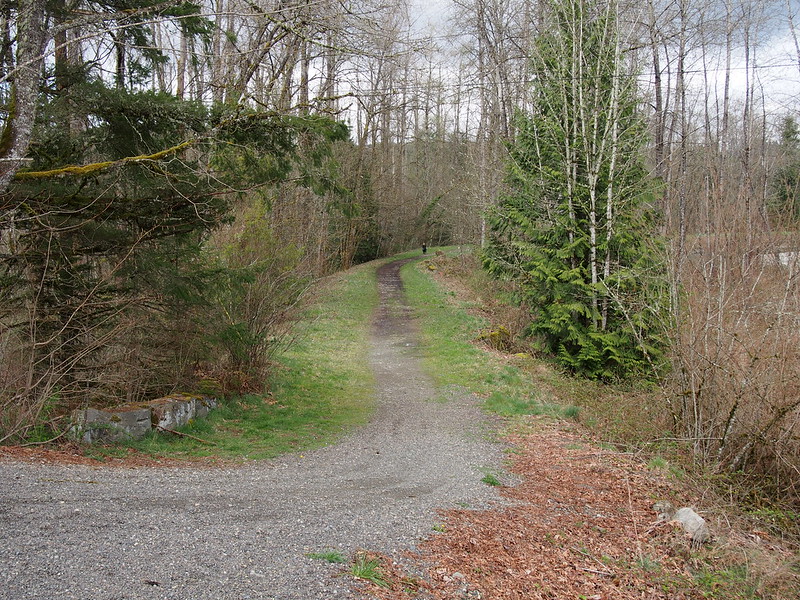
I then climbed my way up to where I was supposed to meet the trail, which wasn't really a rideable entrance, and I almost missed it..
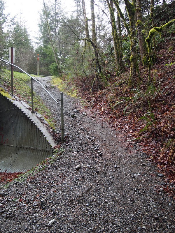
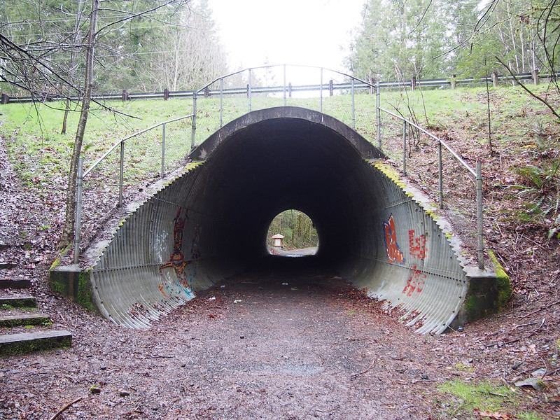
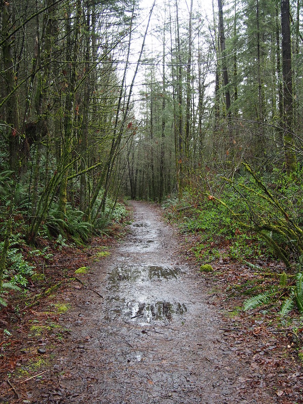
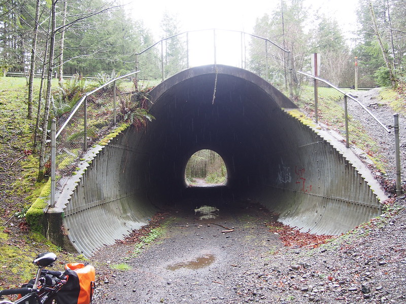
There was a tunnel that led to some sort of trail, but it was just mud.
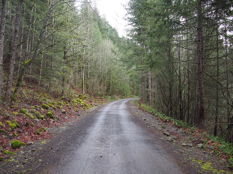
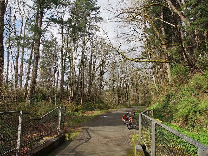
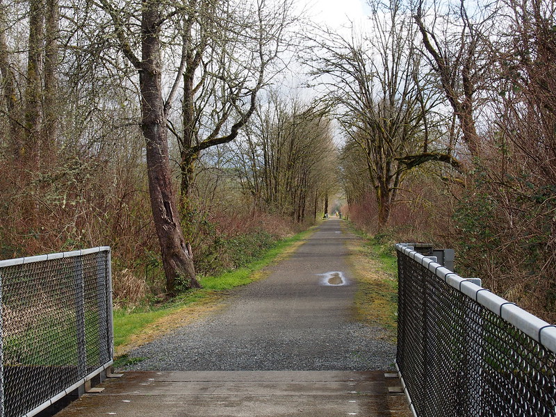
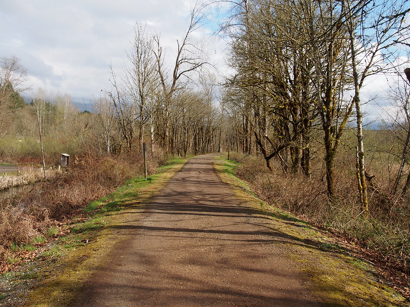
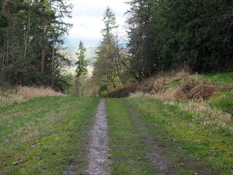
From there, it was a gradual descent all the way into the valley. I saw a few folks here and there on mountain bikes, some with full suspension.
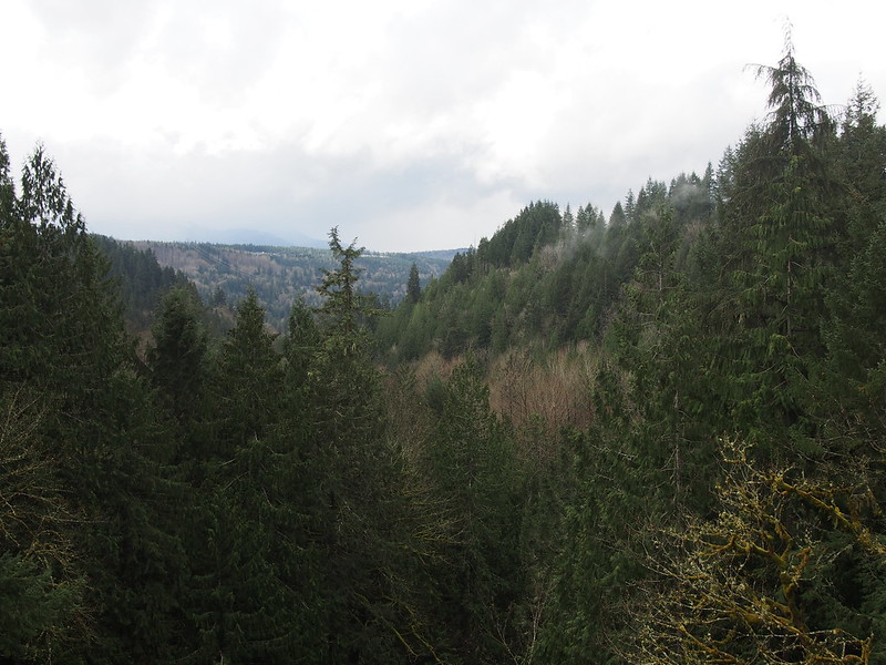
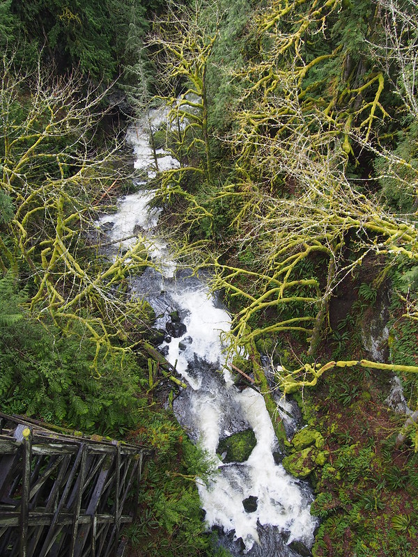
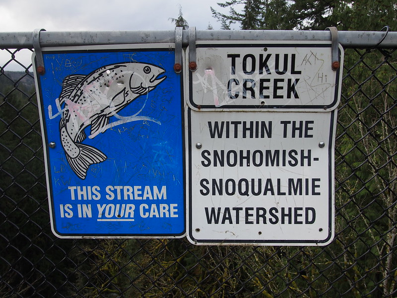
I heard almost continuous gunshots around Tokul Creek earlier today. Is there a firing range out there?
— 竹下憲二 (@takeshita_kenji) March 22, 2015
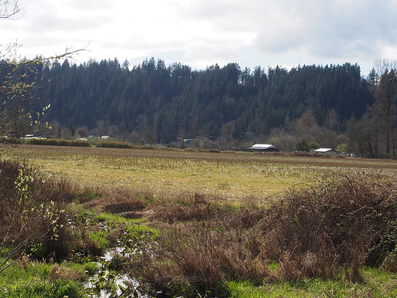
It was rather nice being so far removed from everything, despite still being within a day's ride to Seattle.
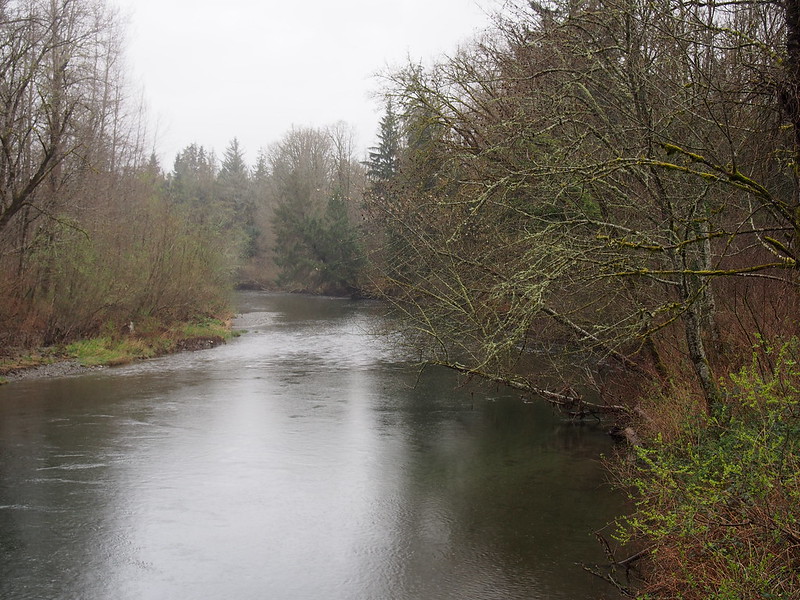
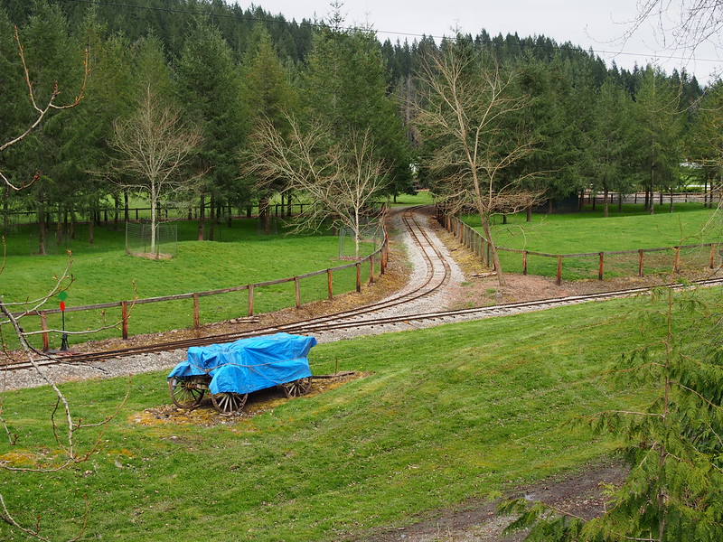
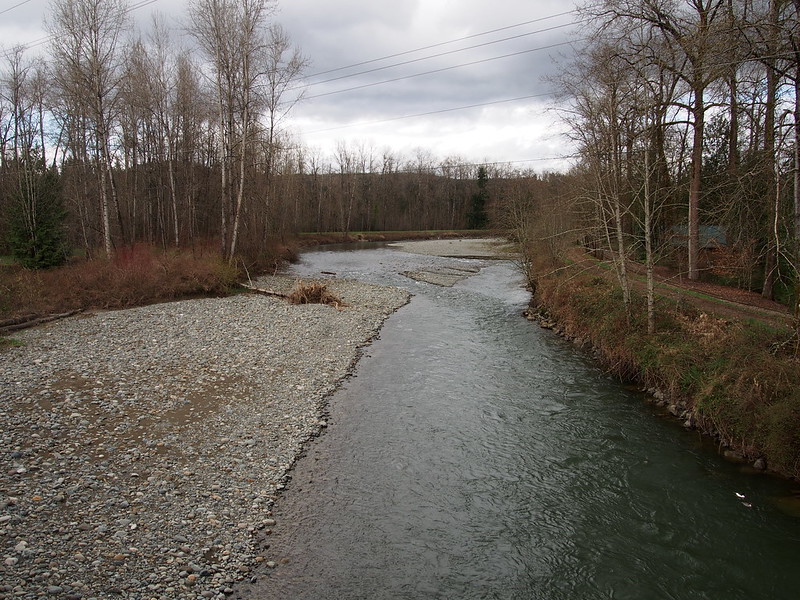
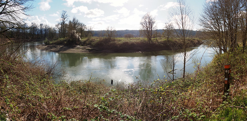
When I got to the Tolt River, I saw the railroad at Remlinger Farms, which I had a faint memory of riding as a child.
Shortly after, I hit Carnation, which meant I was done with my descent.
Nice and sunny.
— 竹下憲二 (@takeshita_kenji) March 21, 2015
I might be weird, but I don't think full suspension is needed on packed gravel. #cycling
— 竹下憲二 (@takeshita_kenji) March 21, 2015
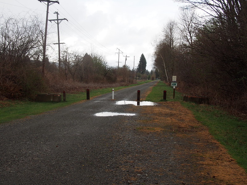
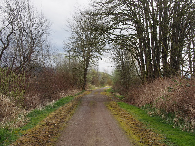
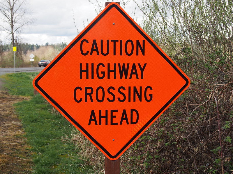
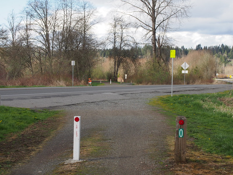
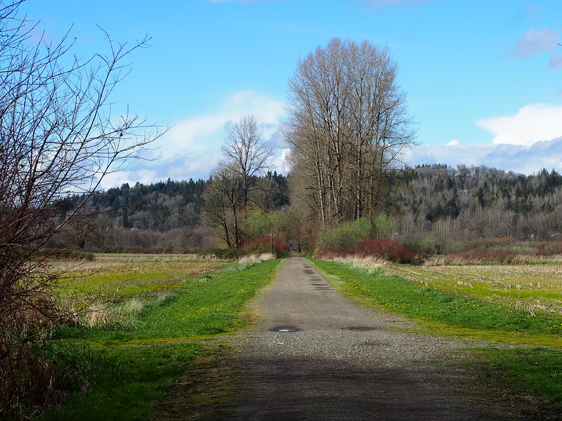
There's one place where the trail crosses the highway, and it's pretty easy to miss on the highway.
For the last few miles to Duvall, I was right behind a guy on an unloaded cyclocross bike and had little trouble keeping up.
I was keeping up on a guy who was riding an unladen cyclocross bike.
— 竹下憲二 (@takeshita_kenji) March 21, 2015
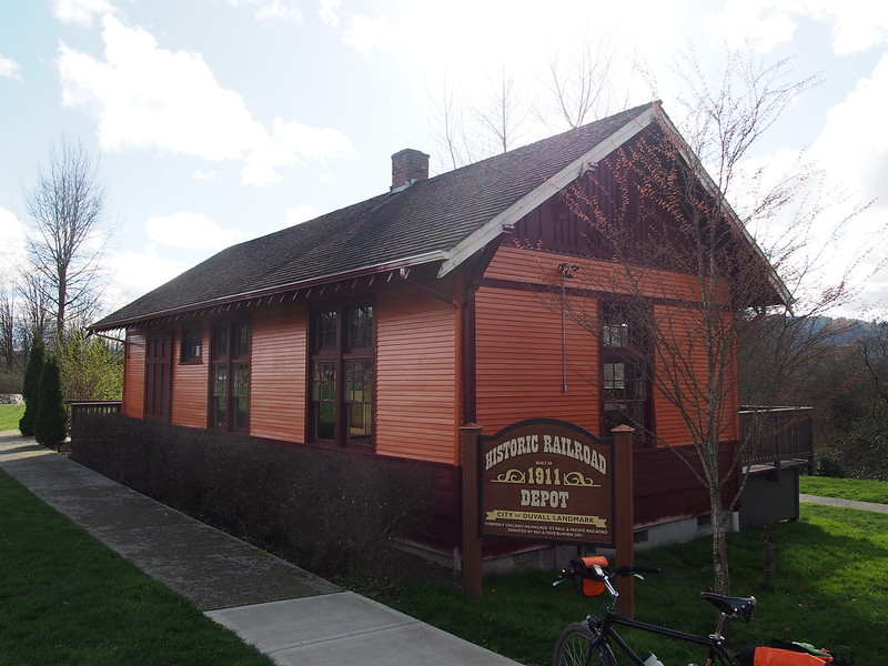
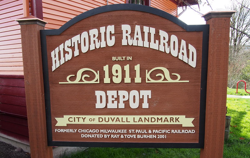
And then I hit Duvall at McCormick Park, climbing the hill to get coffee.
I'm at C.C. Espresso & Ice Creamery in Duvall, WA https://t.co/bAo9pjMf5F
— 竹下憲二 (@takeshita_kenji) March 21, 2015
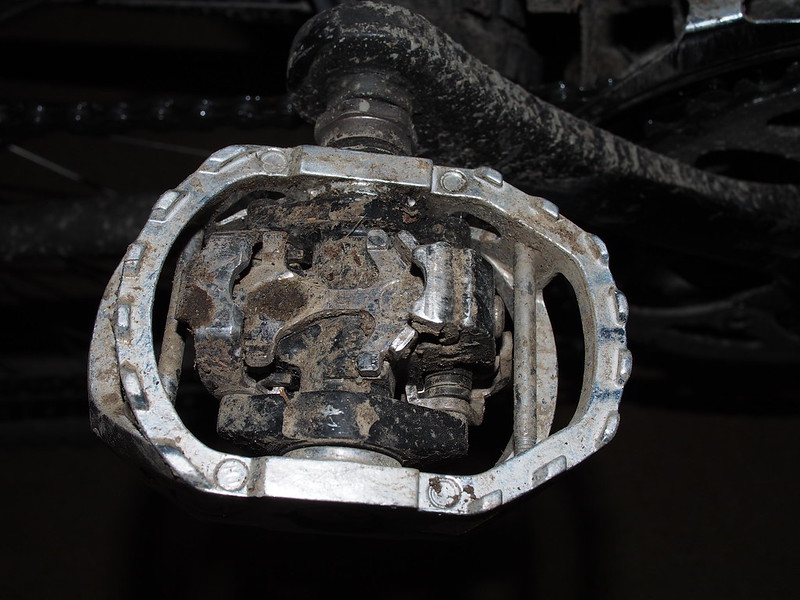
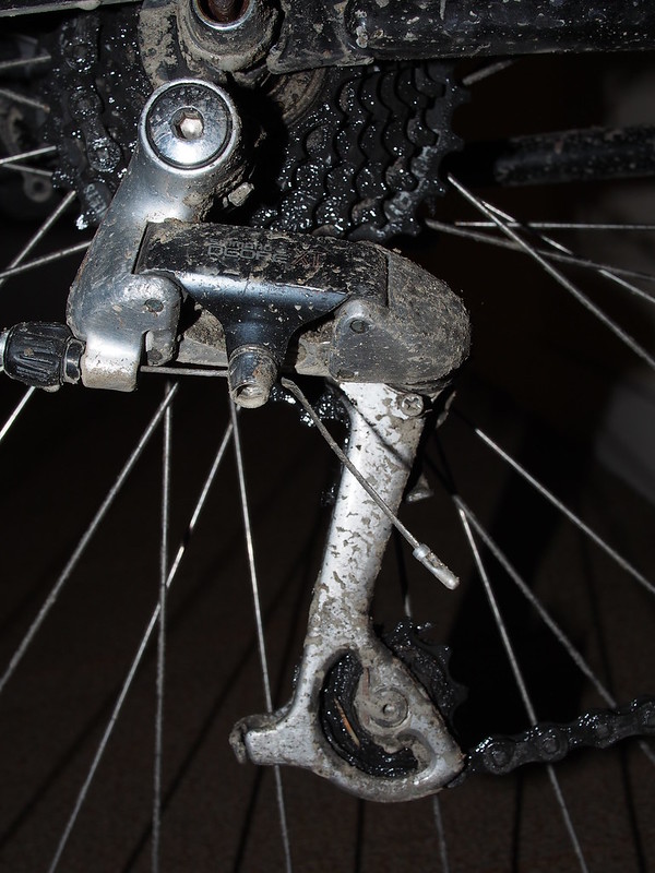
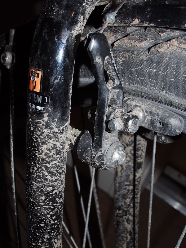
Everything is filthy. #cycling
— 竹下憲二 (@takeshita_kenji) March 21, 2015
Part 3: Return via Tolt Pipeline Trail
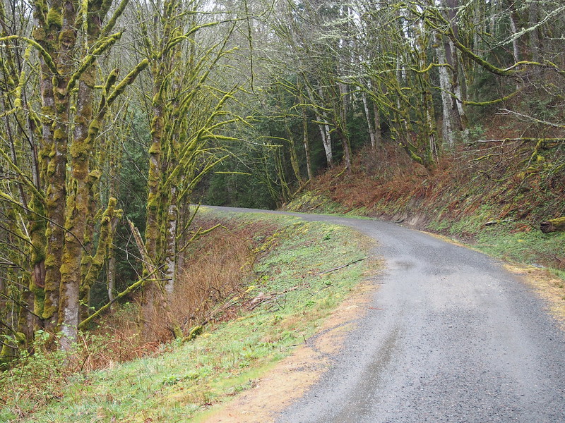
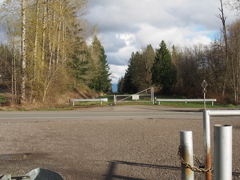
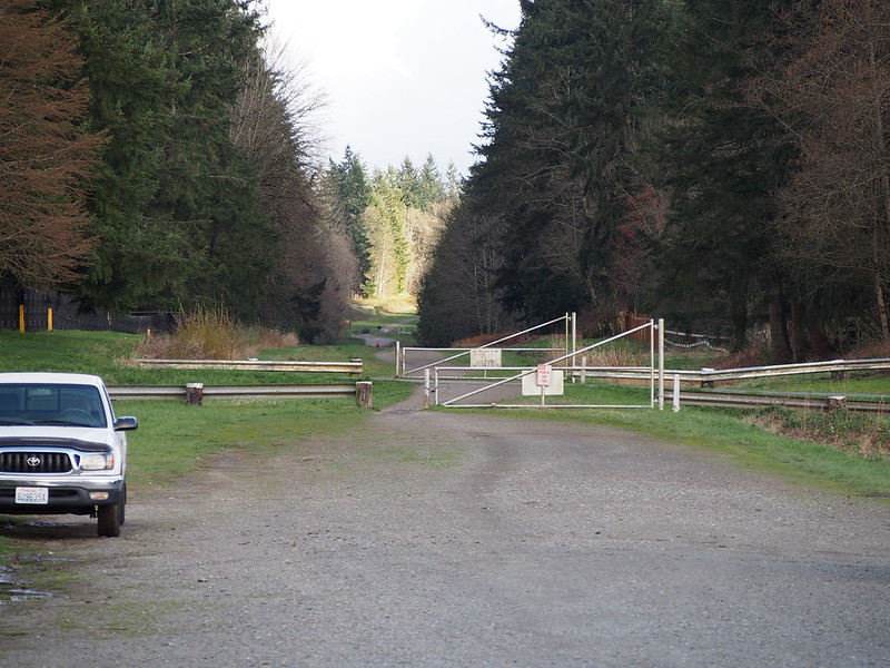
From Duvall, I rode Woodinville–Duvall Road to West Snoqualmie Valley Road, then headed south a bit to the 'secret' entrance to the Tolt Pipeline Trail. The driveway was a rather steep climb, and I had to push my bike.
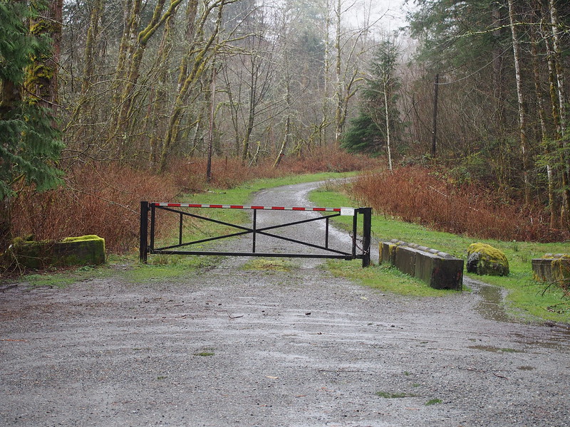
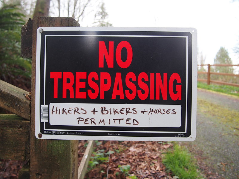
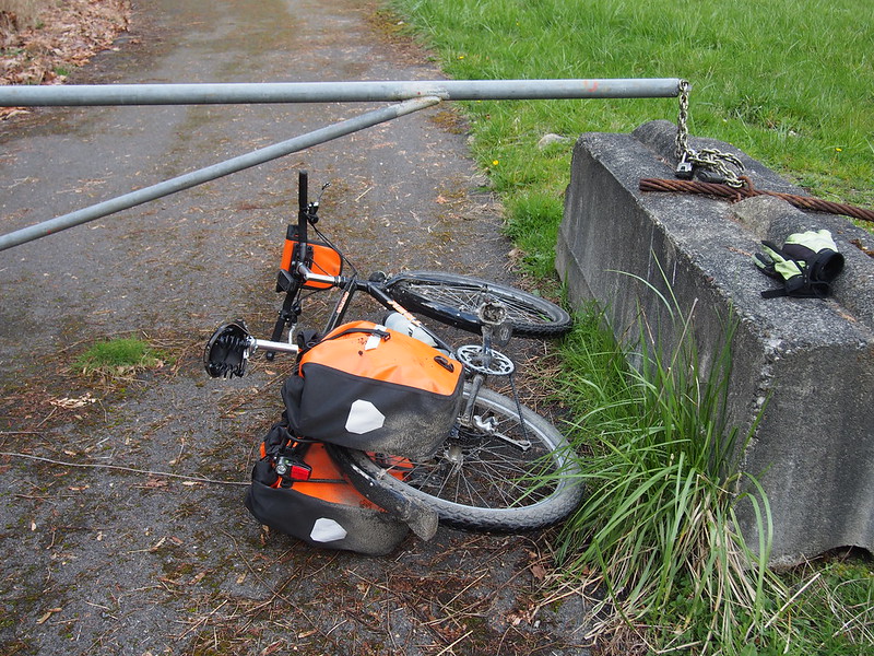
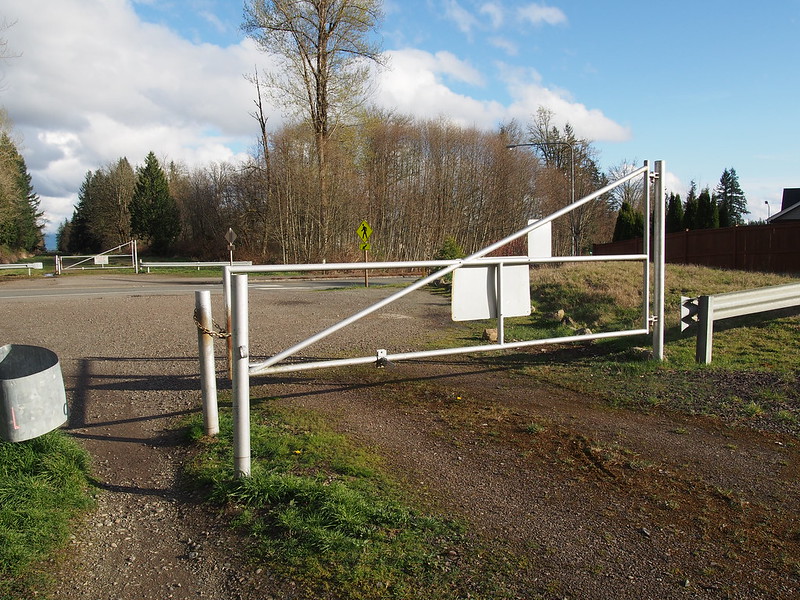
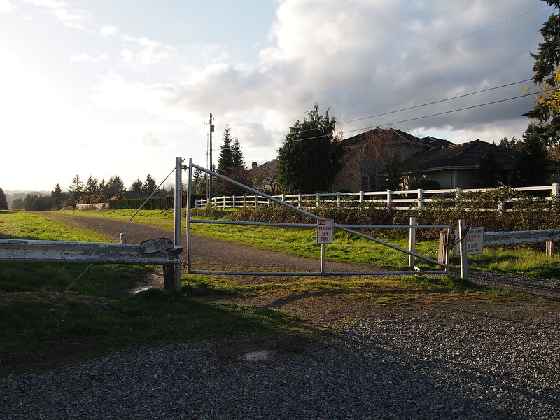
When I got to the gate, I found it was locked. I had to push my bike through under it, being careful to keep my panniers from scraping.
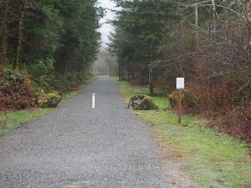
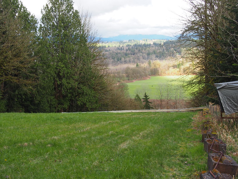
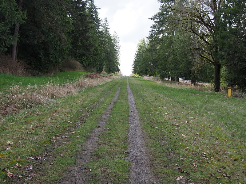
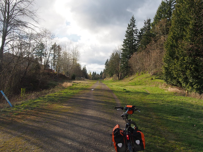
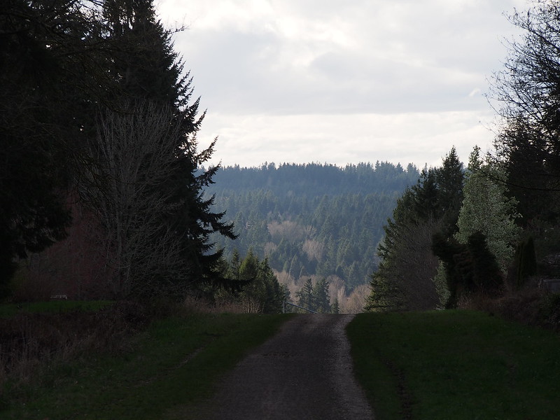
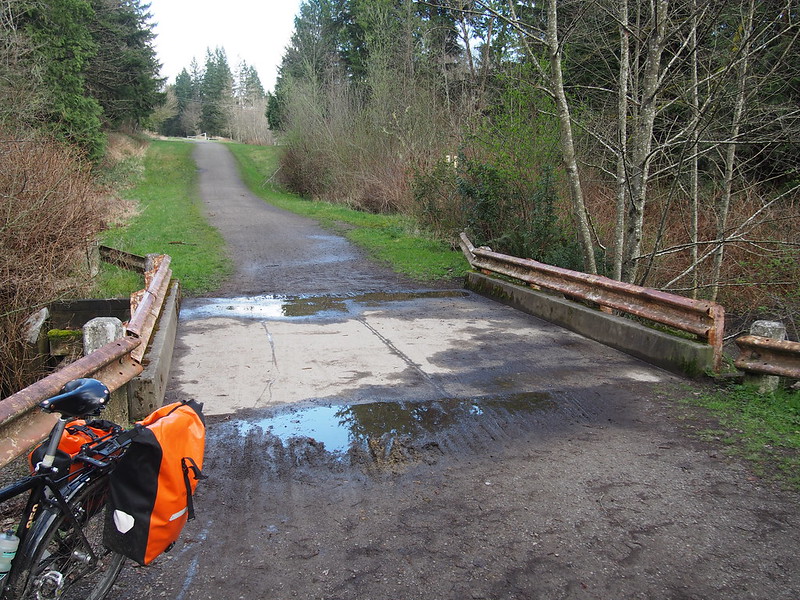
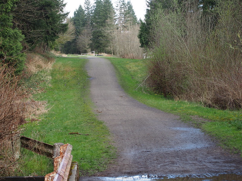
When I finally got to the rideable part, it wasn't too bad. There were a lot of gates, though, so I wasn't happy about that.
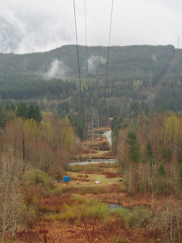
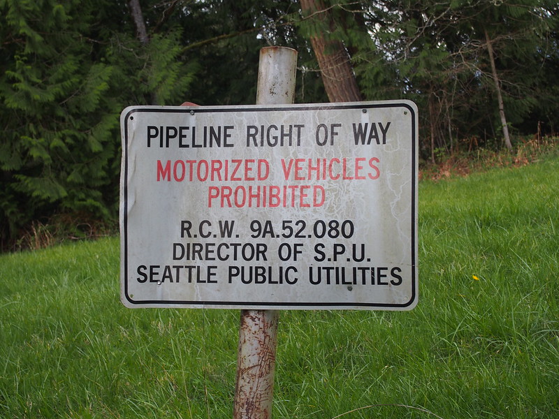
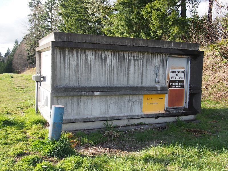
I saw the pipe itself a few times, too.
I don't think I'll ride this trail again. No major issues, but it isn't fun.
— 竹下憲二 (@takeshita_kenji) March 22, 2015
@WAbikes Tolt Pipeline.
— 竹下憲二 (@takeshita_kenji) March 22, 2015
I like how these tires instantly gain traction after losing it. #cycling
— 竹下憲二 (@takeshita_kenji) March 22, 2015
When I mentioned my plan for this ride to someone, he said to avoid the westernmost extent of this section of trail, so I cut over to the backroads for that instead. I saw some other cyclists on these roads, too, so they're apparently popular.
This route dropped me at the local athletic fields, which abut the trail.
I'm at Northshore Athletic Fields in Woodinville, WA https://t.co/spJNsPRkqD
— 竹下憲二 (@takeshita_kenji) March 22, 2015
I tried to find a way out through the park, but I had to turn back, go through the parking lot again, and then hit the Sammamish River Trail. From there it was rather uneventful.
Near 102nd Ave NE, I cut over to the Burke-Gilman Trail as is customary due to the poor design of the westernmost section of the Sammamish River Trail
I'm at Blyth Park in Bothell, WA https://t.co/au1oOcr0lk
— 竹下憲二 (@takeshita_kenji) March 22, 2015
And then I zipped along that trail all the way home.
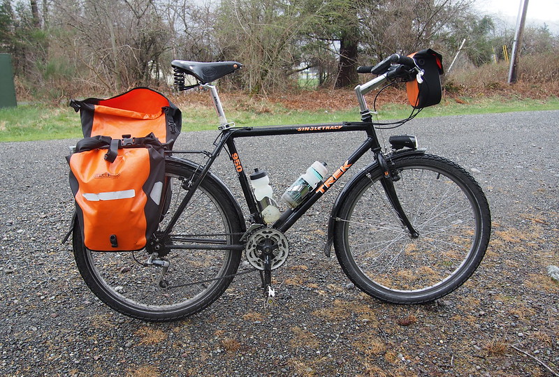
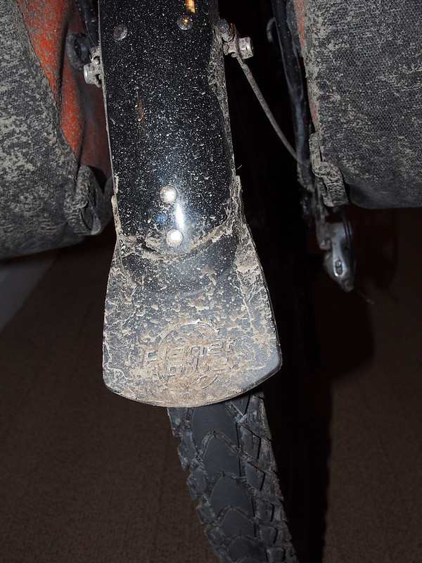
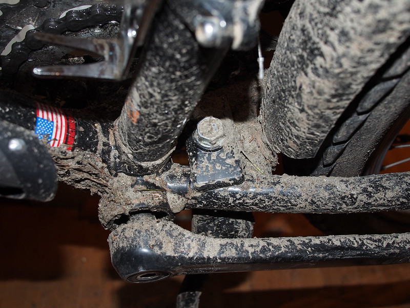
Today I learned how to make a bike very dirty.
— 竹下憲二 (@takeshita_kenji) March 22, 2015
I also learned how to deal with unstable surfaces and use the wider hand position to gain leverage.
— 竹下憲二 (@takeshita_kenji) March 22, 2015
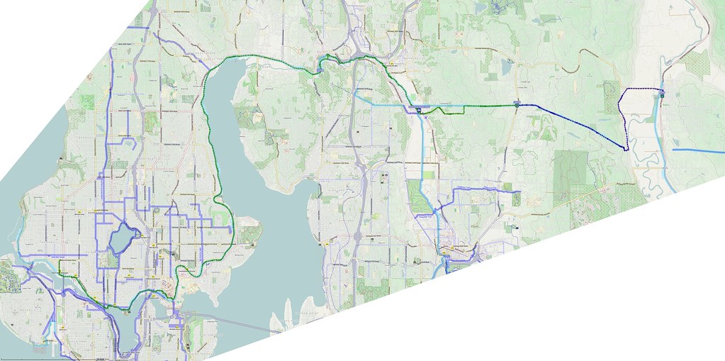
GPS says 119 miles. I say bedtime.
— 竹下憲二 (@takeshita_kenji) March 22, 2015
Good thing this bike doesn't have any cables running under the bottom bracket! https://t.co/FcUkSrid5k
— 竹下憲二 (@takeshita_kenji) March 23, 2015



No comments:
Post a Comment