This was my first ride with a significant amount off of pavement, in which I rode along the outer reaches of the Cedar River Trail.
It rained for most of the time, and my lens and lens cloth were soaked after a while, so a number of photos are blurry thanks to the film of water. I tried to choose the best of the blurry ones so I wouldn't leave out some interesting sights. At least it isn't as obnoxious as some Instagram filters I've seen out there.
Related albums:
More after the break…
Outbound
I started at 06:00 instead of the typical 05:00, and it was raining some. I learned the trick to wear disposable gloves under my cycling gloves to keep my hands from freezing, so it wasn't too bad.
I started an hour late because of the commotion last night causing me to stay up late.
— 竹下憲二 (@takeshita_kenji) March 14, 2015
Good thing I brought my high-tech Safeway brand #cycling glove liners. #rain
— 竹下憲二 (@takeshita_kenji) March 14, 2015
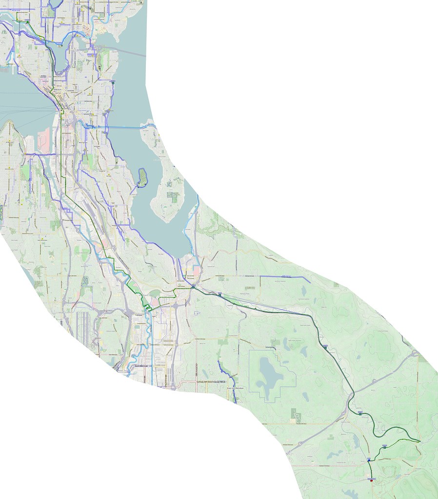
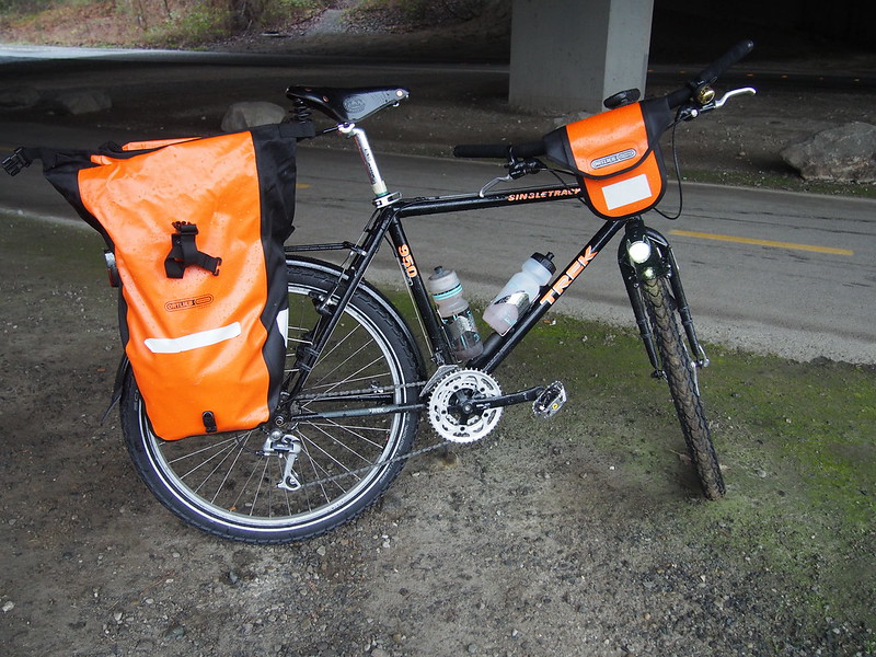
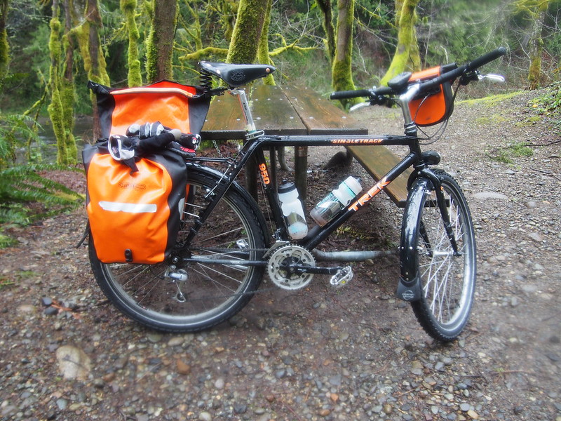
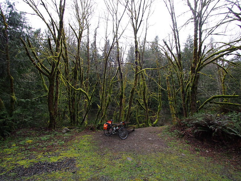
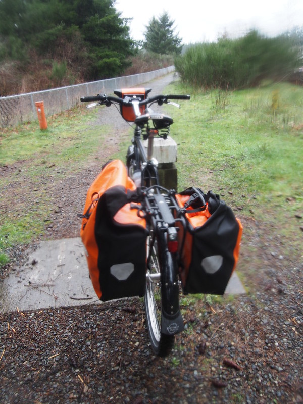
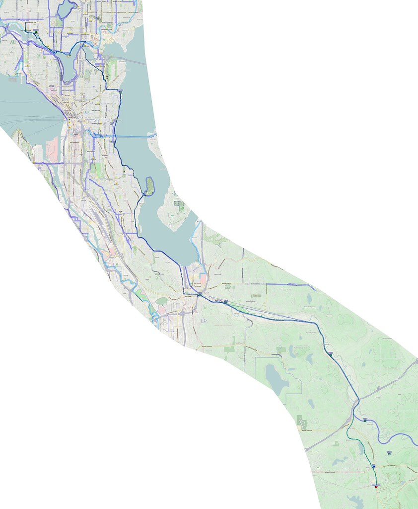
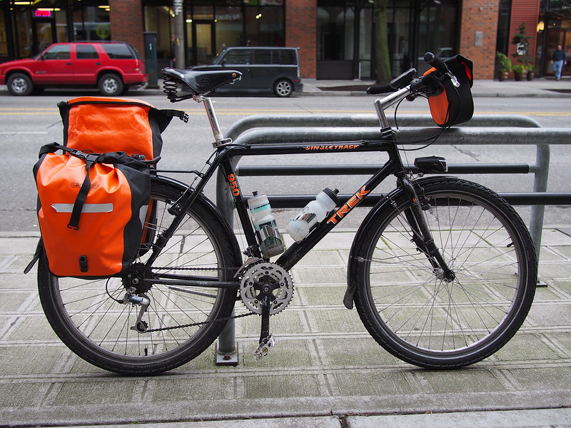
My route was down along my typical route south out of Seattle until I got to Renton. Then, I used Grady Way to get to the northwestern end of the Cedar River Trail. I was riding my new mountain touring bike this time, which was a lot of fun. I did have to make millimeter-level tweaks to the saddle, though.
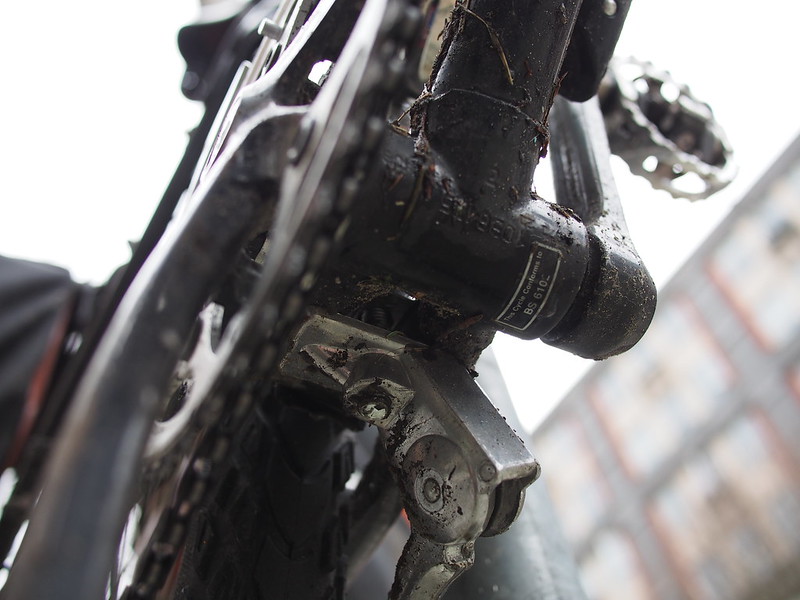
There was a lot of standing water on the roads, and the high bottom-bracket significantly cut down on the amount of water hitting my feet. Plus, the lack of cables down there means I didn't have to worry about gross stuff getting all over my cables.
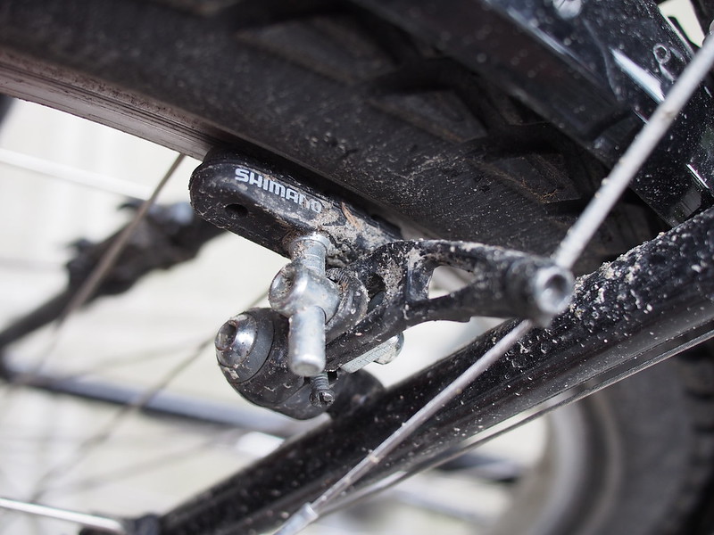
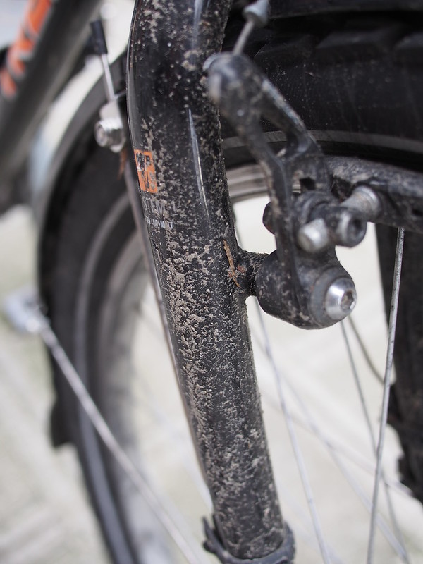
These circa-1993 LX canti brakes stop very well in the wet. The old XT rear derailleur shifts like butter. #cycling
— 竹下憲二 (@takeshita_kenji) March 14, 2015
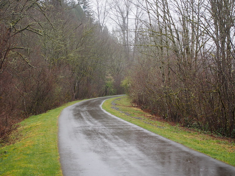
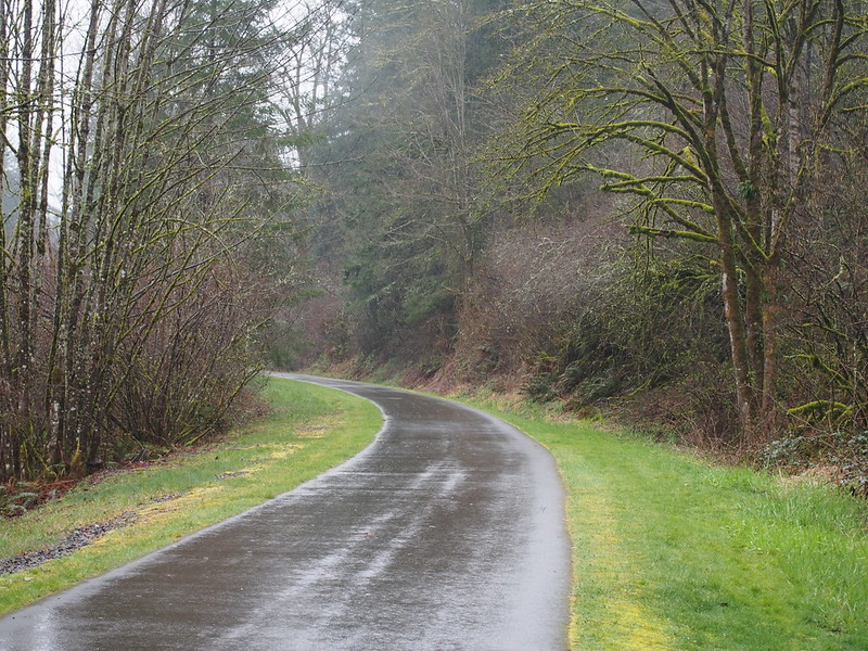
The ride along the paved portion of the trail was pretty uneventful. The rain kept traffic low.
This bike is a lot more fun on 'technical' Seattle pavement, deep puddles, and gravel than on smooth pavement.
— 竹下憲二 (@takeshita_kenji) March 14, 2015
It really wants to be offroad!
— 竹下憲二 (@takeshita_kenji) March 14, 2015
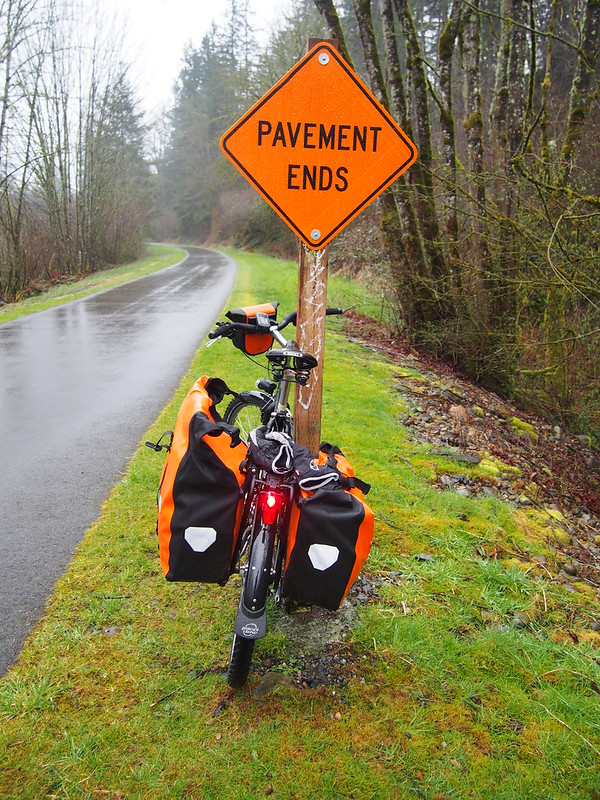
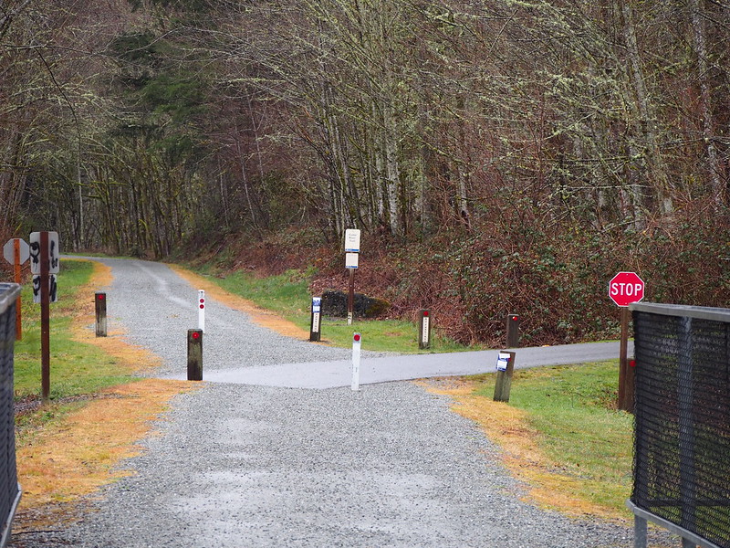
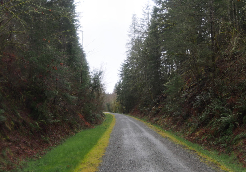
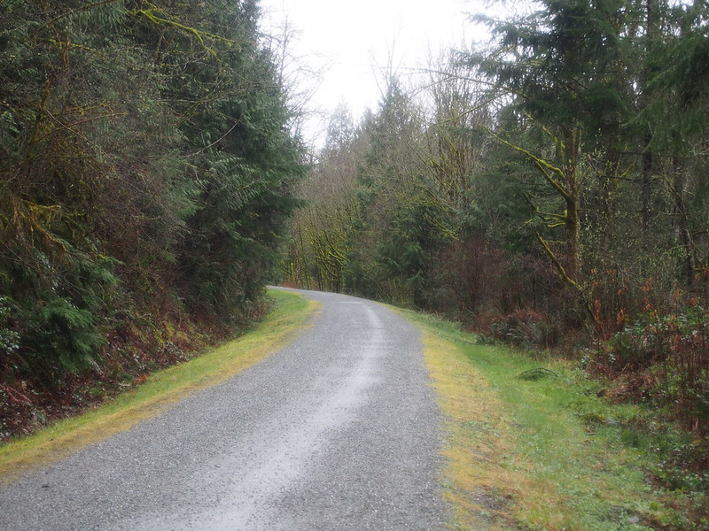
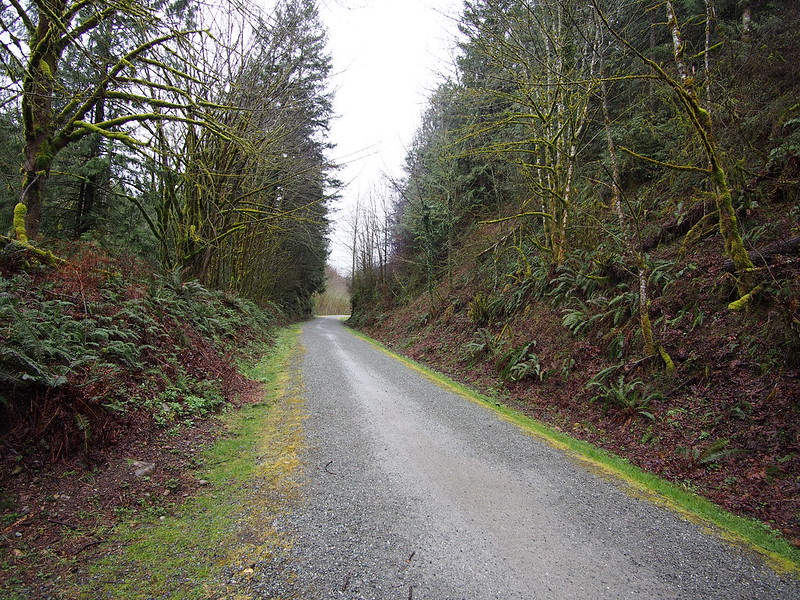
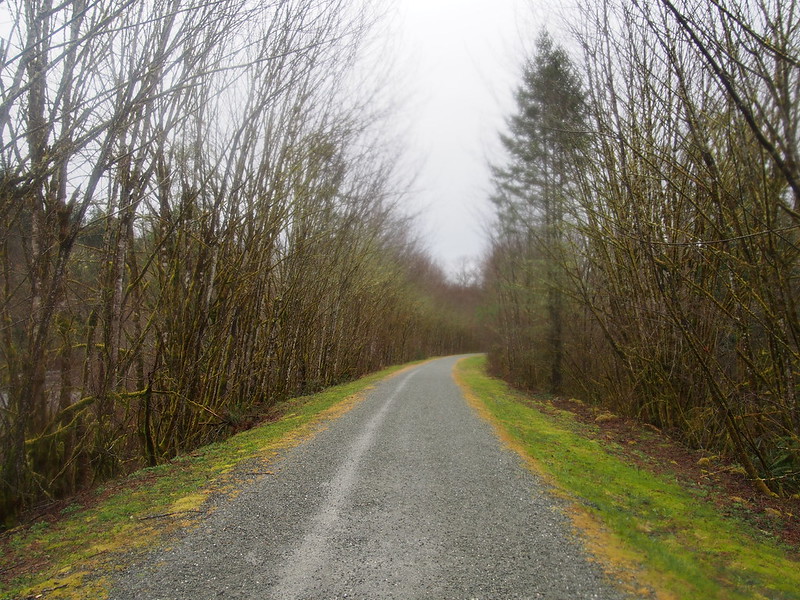
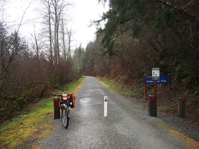
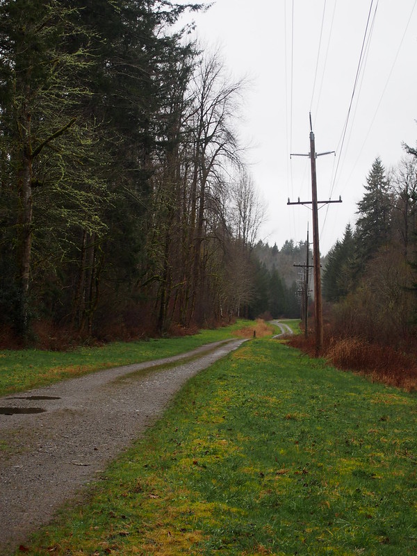
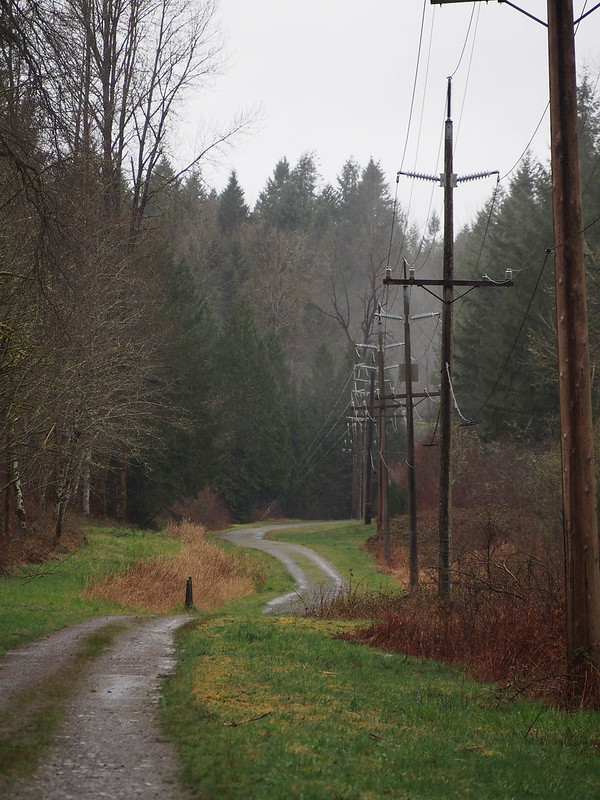
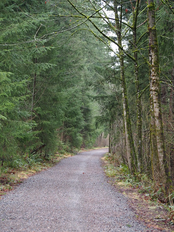
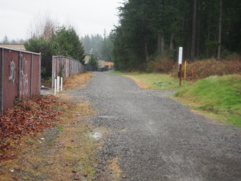
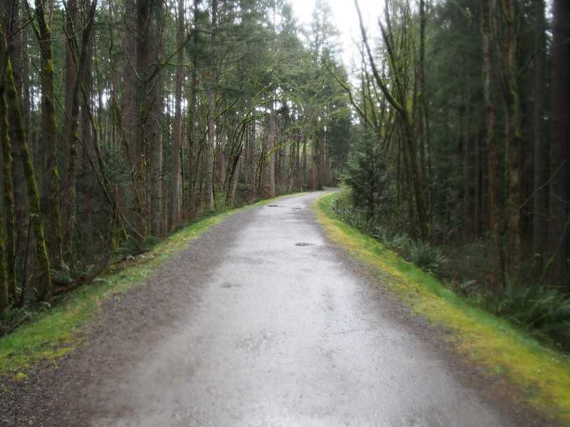
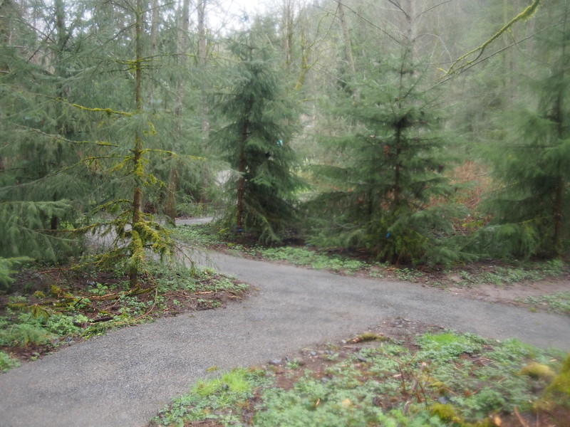
When I got to the end of the pavement, I just kept going along the main branch of the trail. I was very cautious at putting down power at the start.
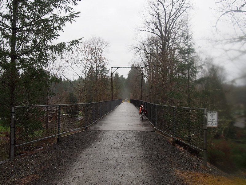
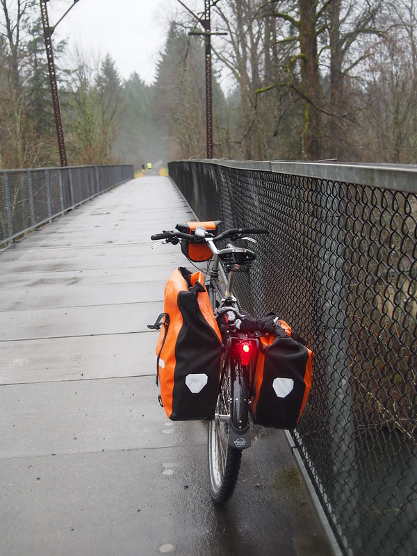
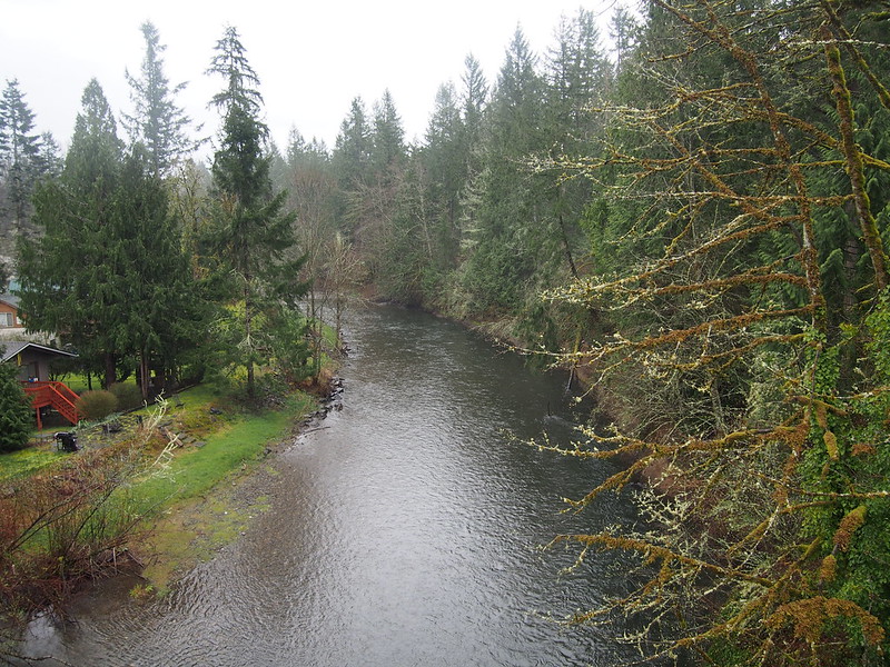
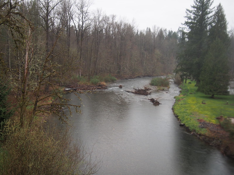
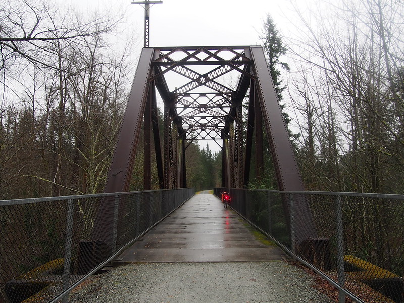
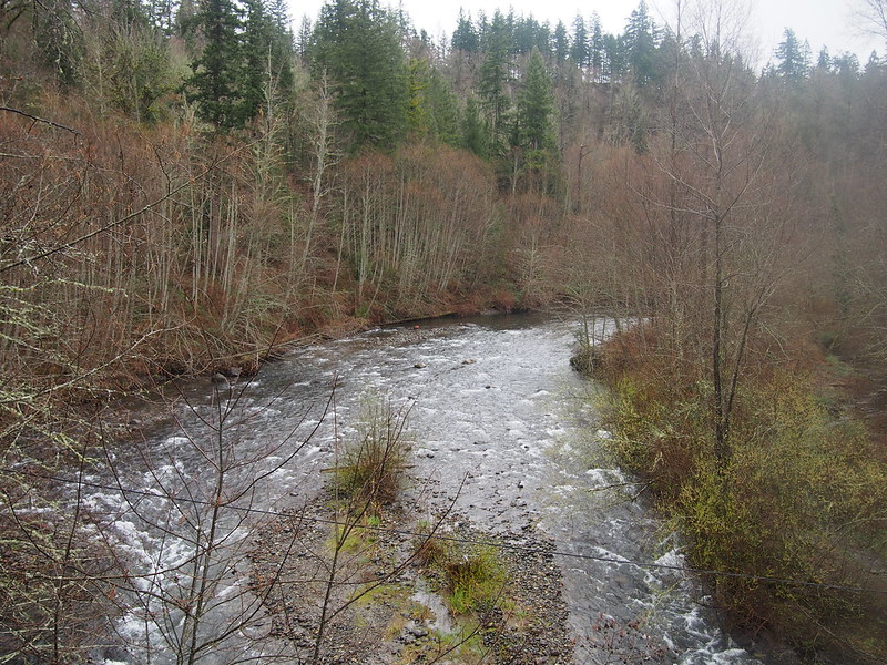
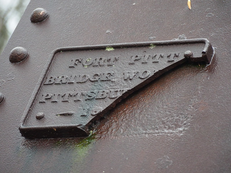
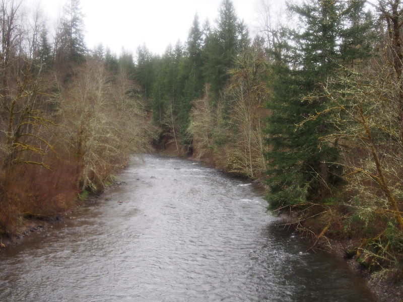
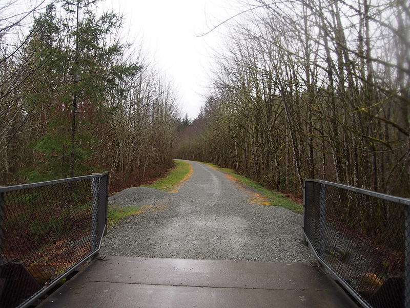
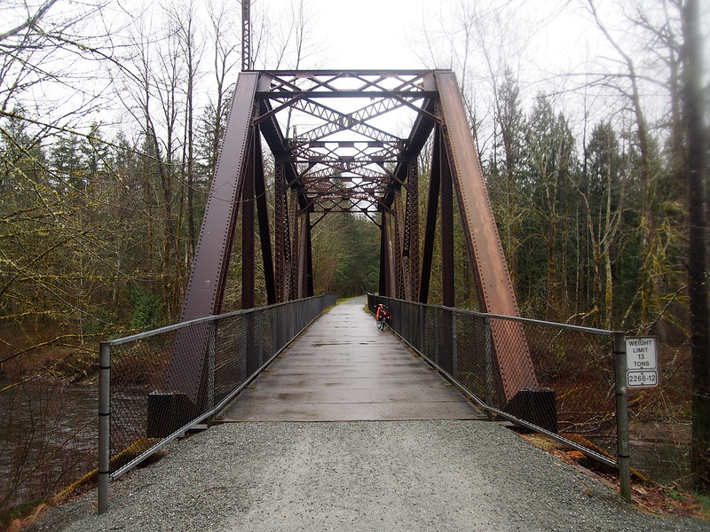
Since the trail follows the Cedar River valley, there were a lot of cool bridges where it crossed the river.
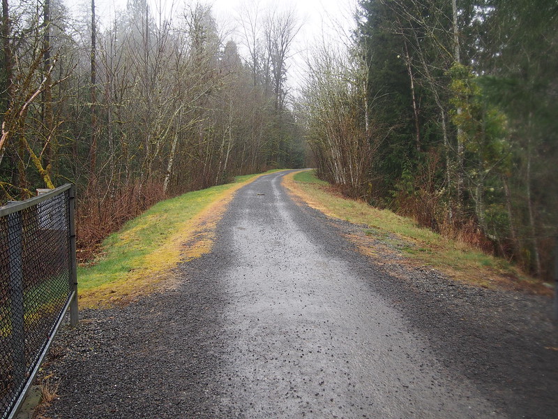
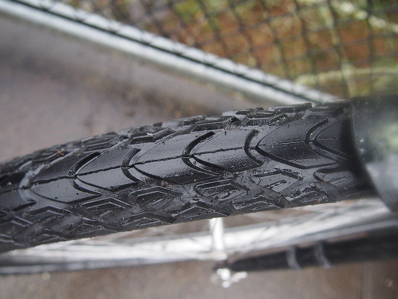
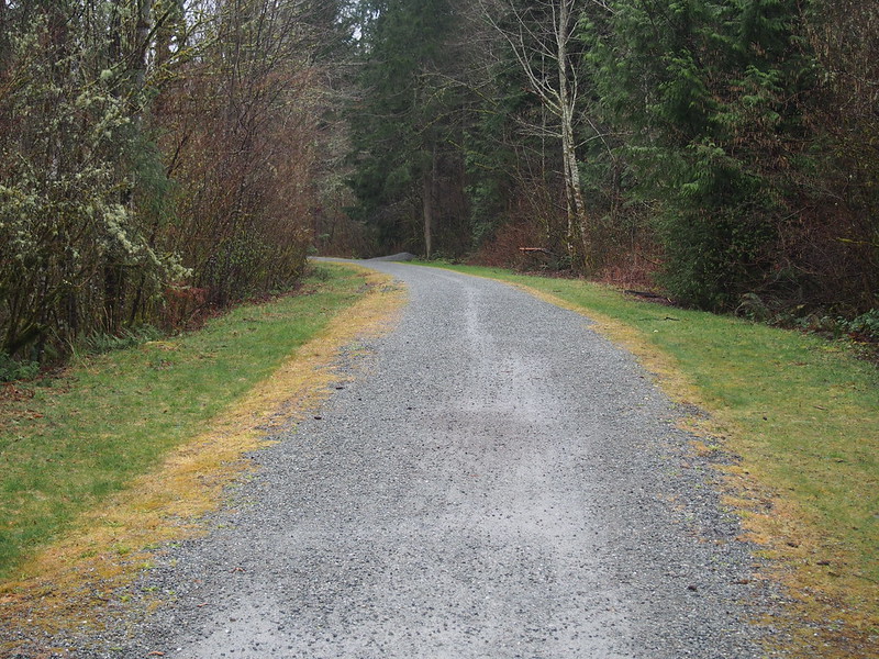
The tread pattern really helped, I think. The fat 2.1-inch width allowed it to float over the gravel rather than cutting through it, too.
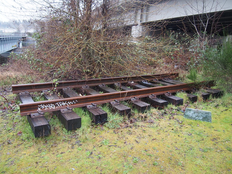
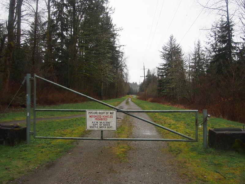
The Cedar River Trail follows the right of way of the Milwaukee Road's route to Seattle. The mainline went over Snoqualmie Pass, then via Rattlesnake Lake and the protected watershed of the Cedar River to Renton, then around the south end of Lake Washington to Seattle.
The gravel really wasn't bad at all. This bike is awesome!
— 竹下憲二 (@takeshita_kenji) March 14, 2015
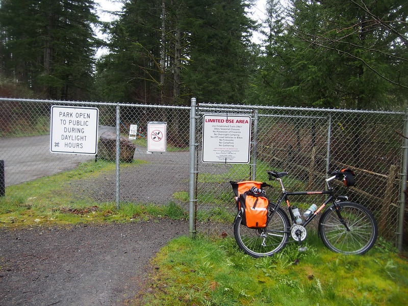
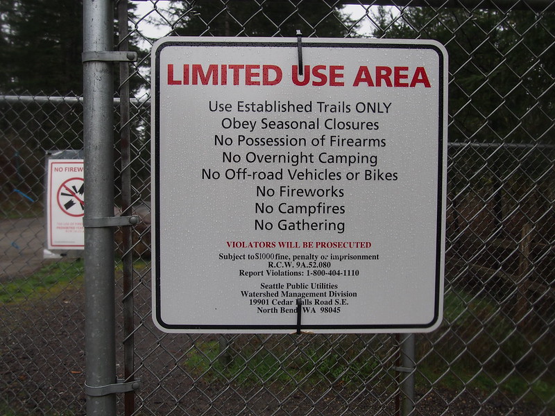
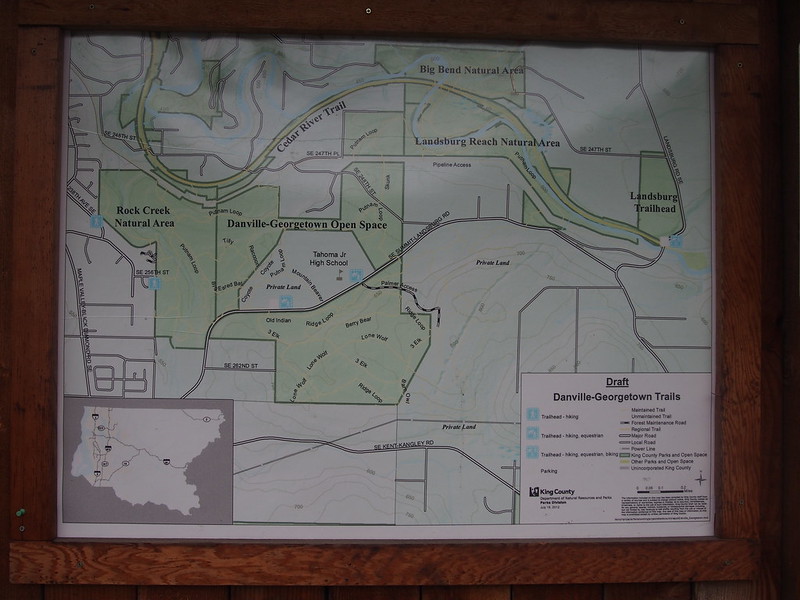
The trail ends at Landsburg Road SE in Landsburg, where the protected watershed begins.
At this point, I could've taken Landsburg Road, but my route instead used SW Summit–Landsburg Road.
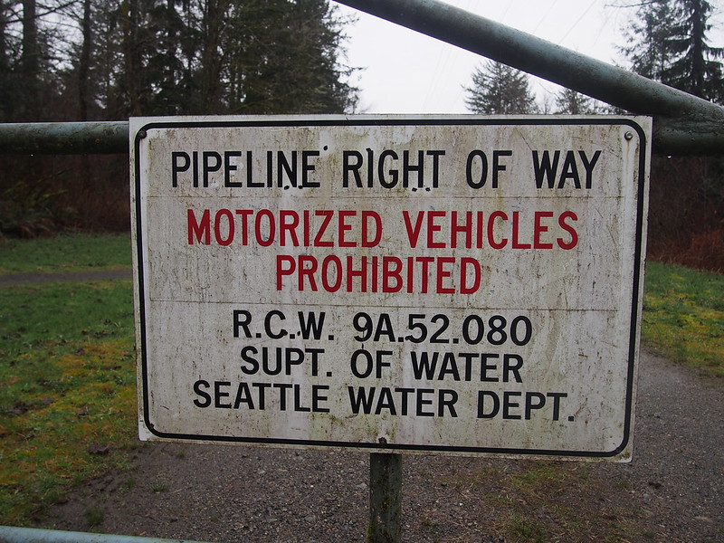
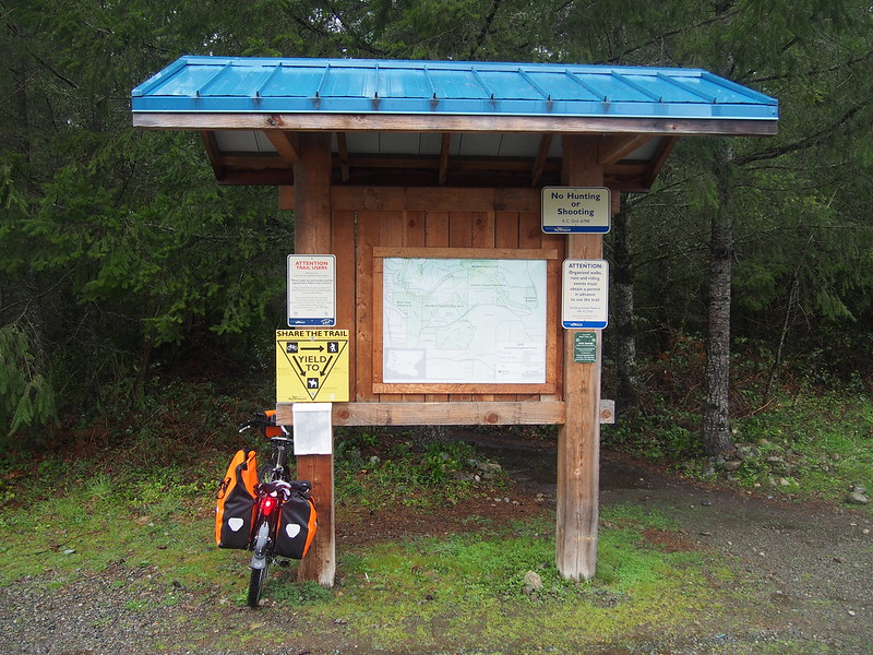
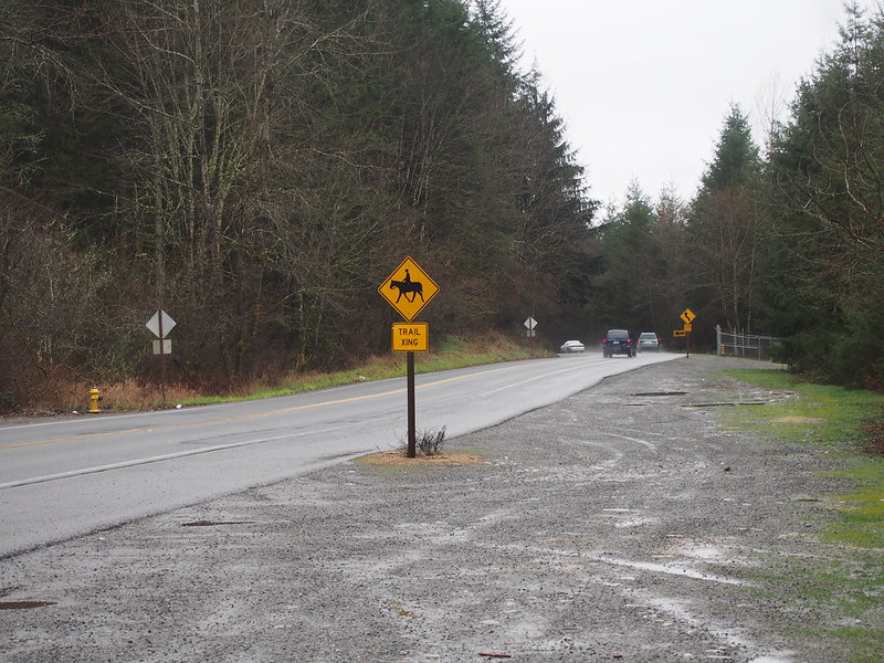
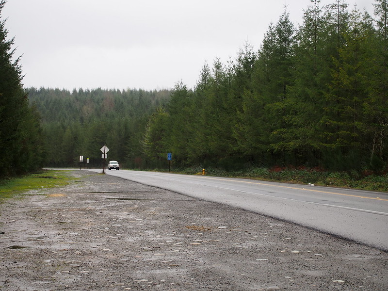
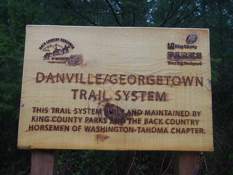
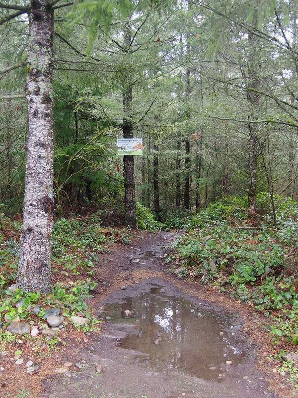
This took me through the Danville–Georgetown Open Space. I heard a train running in the distance, which was likely on the BNSF mainline.
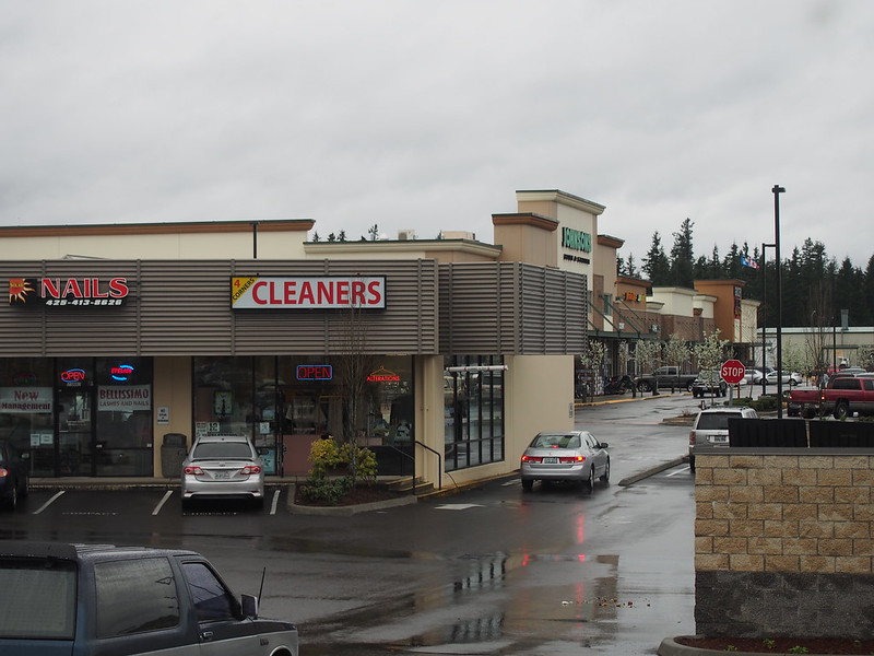
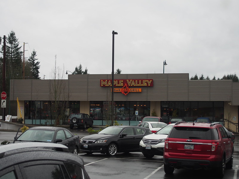
This took me right to Summit, an exurban sprawl space like Maple Valley.
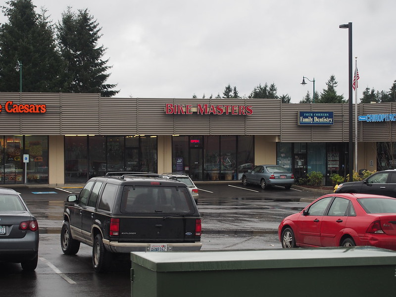
I hit the bike shop to make sure my saddle is straight. I always see double when I try to do it, which makes it impossible.
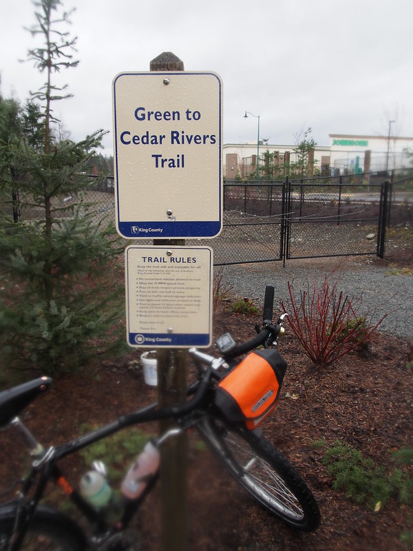
In Summit, I hit the Green-to-Cedar Rivers Trail, which mainly only sees pedestrian use.
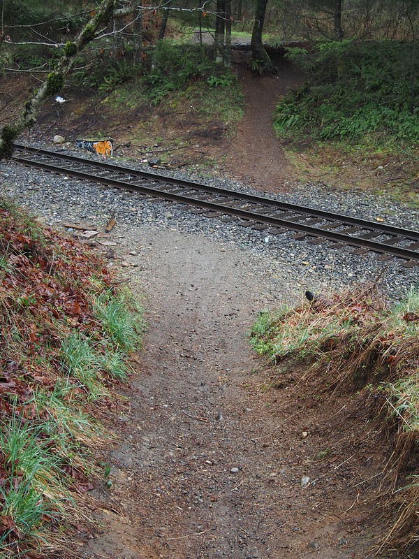
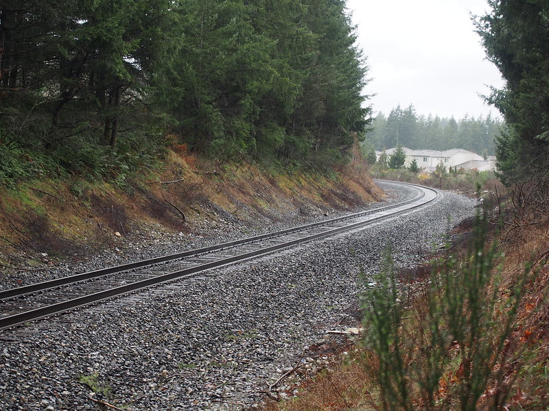
The trail ended at the BNSF mainline that traverses Stampede Pass, where I heard the train earlier.
There was something that continued on the other side of the tracks, but it didn't seem like anything significant, so I considered this the turn back point. Later analysis revealed that that the trail does indeed not actually connect to the Green River despite the name. Lies sure are fun, no?
Inbound
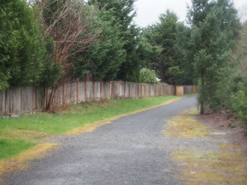
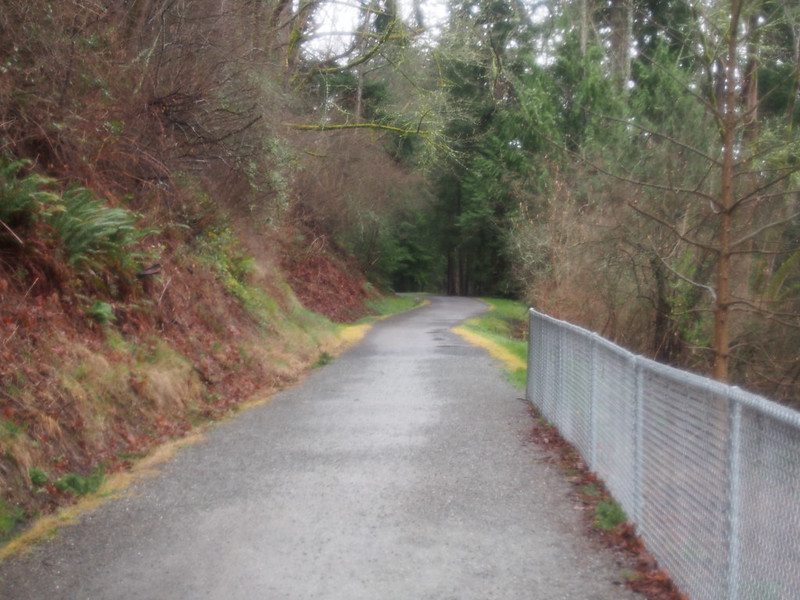
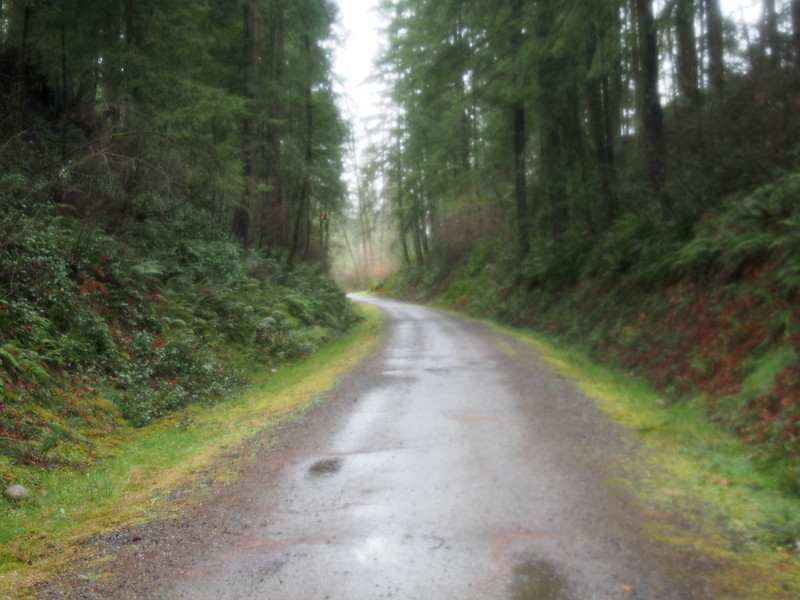
Rather than going back the way I came, I stuck to the connector trail.
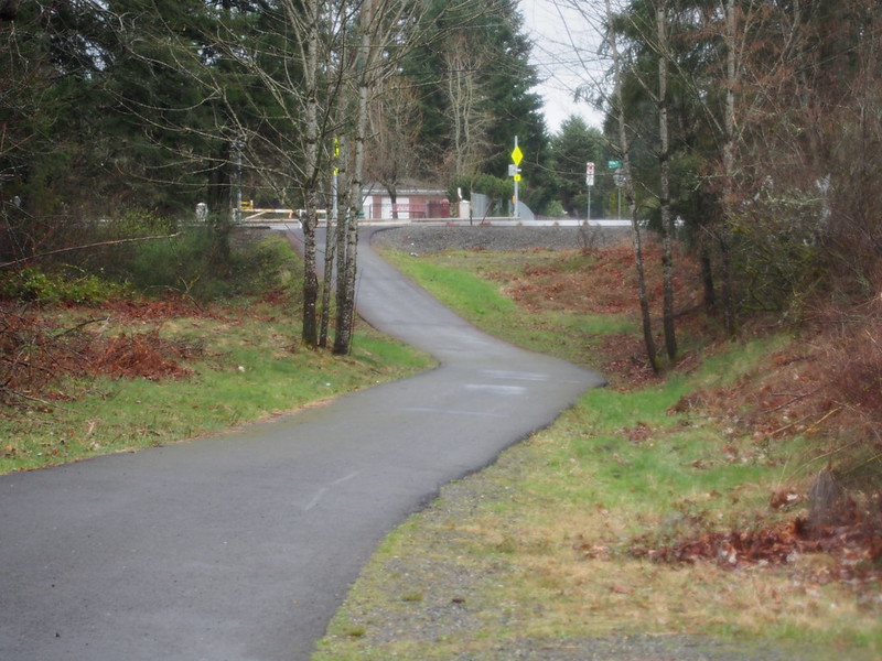
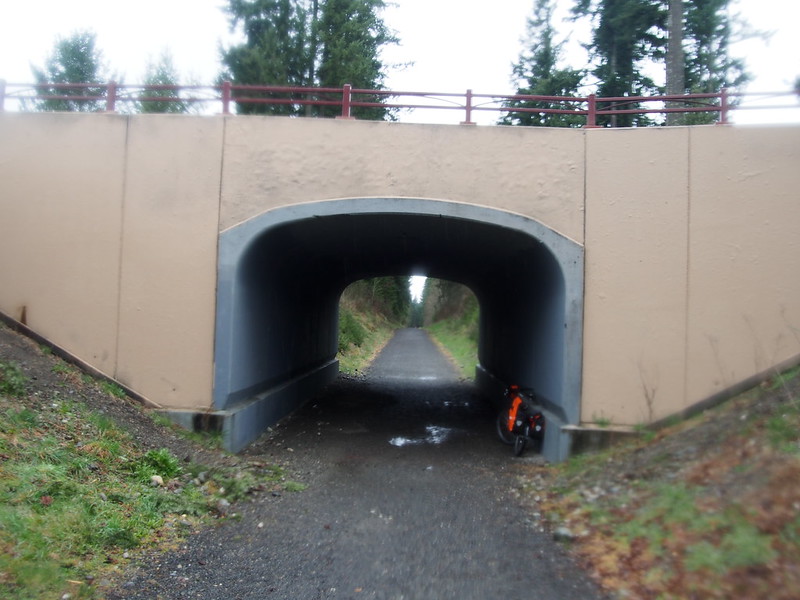
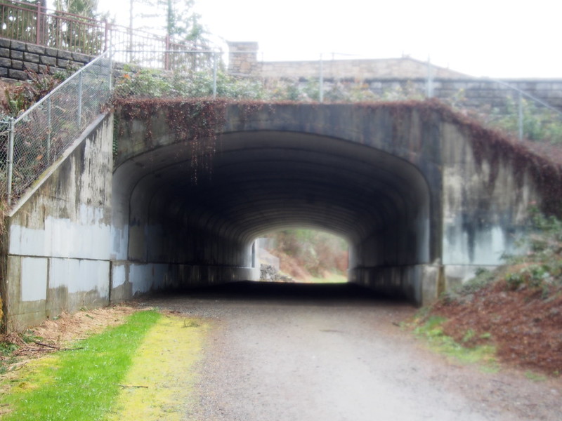
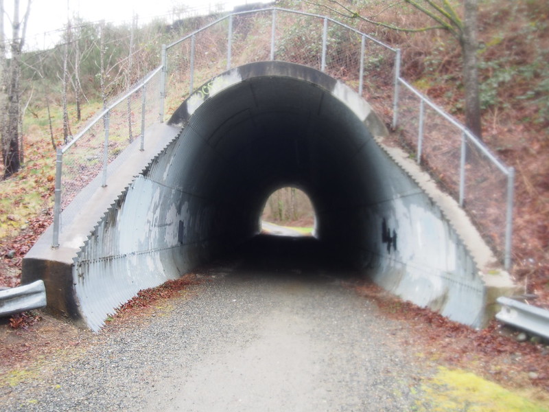
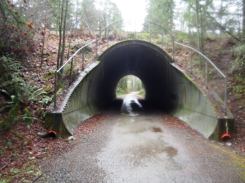
Unlike the other trail, this one featured underpasses instead of bridges.
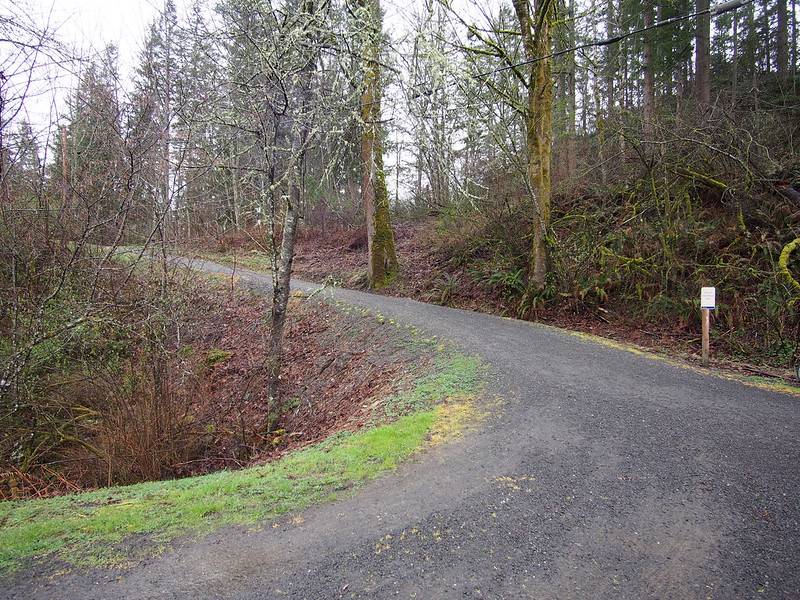
At the very end of the trail was a very steep grade I recall seeing when riding out earlier. Since I didn't want to try it with a heavy load when the gravel was wet, I walked down it instead. A couple passed me on their modern mountain bikes and I told them that this was my first time on gravel. They seemed encouraging.
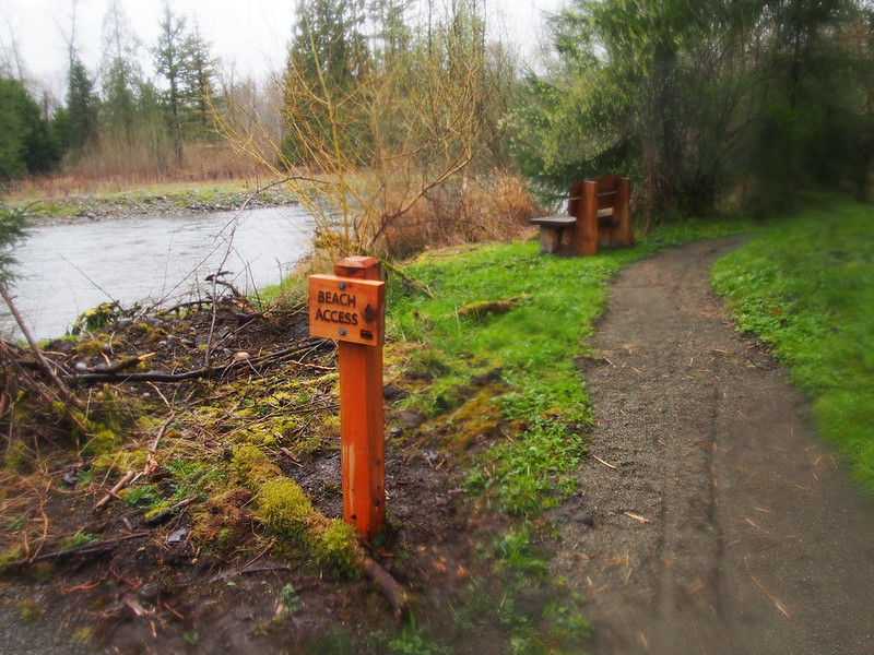
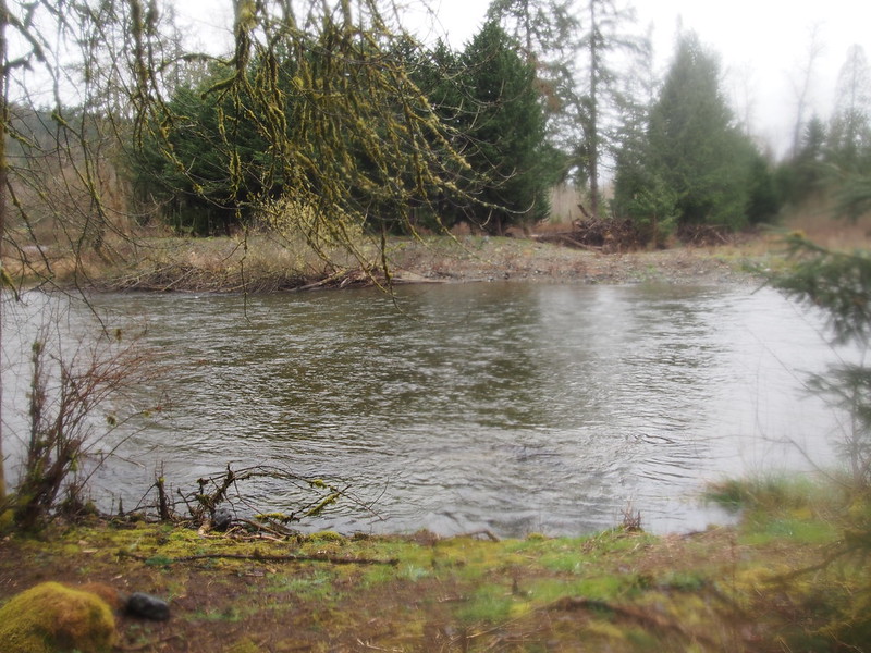
The pavement started again very soon, so I sped along there. I did stop at a little park on the river to eat after a bit.
At least the rain isn't a constant downpour.
— 竹下憲二 (@takeshita_kenji) March 14, 2015
I'd forgotten how stick and slimy everything gets when one is out in the rain all day.
— 竹下憲二 (@takeshita_kenji) March 14, 2015
From there, it was pretty fast to Renton. I stopped for coffee in Maplewood and made the last adjustment to my saddle, which made it perfect. The rain seemed to stop, come back, then stop again.
Slowly approaching civilization. Also, the rain stopped.
— 竹下憲二 (@takeshita_kenji) March 14, 2015
From there, though, it was sunny the whole way home. The sprung saddle really absorbed the bumps of the nasty roads along the Lake Washington Loop, and the gearing was just low enough for those hills. Even so, a 30-tooth large cog would be helpful instead of the 28.
When I got near home, I stopped by my local bike shop to chat for a few minutes.
That ride was actually pretty easy.
— 竹下憲二 (@takeshita_kenji) March 14, 2015
The bike was starting to get the typical coating of rain muck, which is appropriate for a mountain bike.
My legs aren't even sore even though I was hammering like mad those last thirty miles. Fit seems perfect! #cycling
— 竹下憲二 (@takeshita_kenji) March 14, 2015
Sprung leather saddles are no joke. #cycling
— 竹下憲二 (@takeshita_kenji) March 15, 2015
Despite fads being fads, 26er #mtb still are quite capable. #cycling
— 竹下憲二 (@takeshita_kenji) March 15, 2015
No comments:
Post a Comment