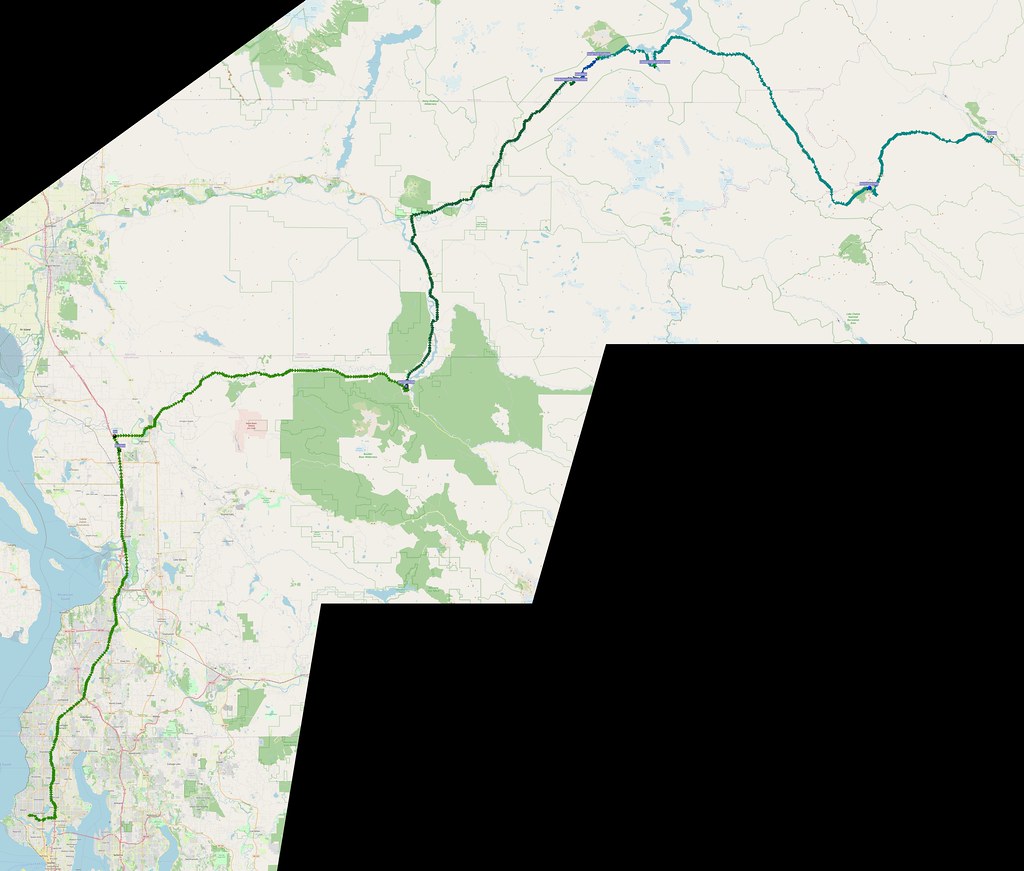
I wanted to experience familiar sights from the first few days of my 2015 bicycle tour. Seattle to Mazama and back in a day. What a ride!
Previous ride albums:
More after the break…
Outbound
Since I was in it for the long haul on this ride, I tried to start at 5 AM, but ended up leaving 30 minutes later because of various things including how the knee protection in my riding jeans had been messed up in the wash. I then headed straight north to Arlington, making only one stop at a rest area in Smokey Point to use the restroom. The last time I'd done so was  years ago! The only thing that looked a bit odd this time was a homeless person laying down beside the restroom entrance.
Haven't been to one of these in a while! (@ Smokey Point Rest Area (N) in Arlington, WA) https://t.co/Xz68O7pELO
— 竹下憲二 (@takeshita_kenji) May 28, 2022
I needed gas since I wasn't sure about services through the Cascades here, so I stopped at the 76 in Arlington. When I inserted my credit card, the reader at the pump didn't register a thing, so I had to go in and pay inside. As I was filling up after that, a touring Harley rolled by on the highway, which would be the only other motorcycle I'd see out this way for hours..
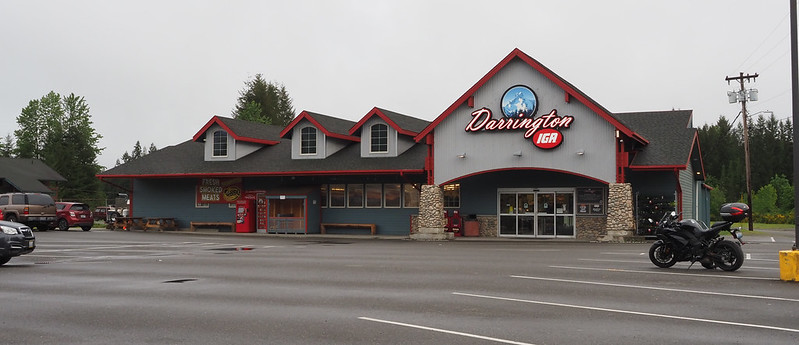
I was starting to feel a bit cold and shaky as I got to Darrington, so I stopped at the local IGA grocery store to get some food. When I walked in, a couple of the staff told me "good morning", but I couldn't hear them. In response, they made a snide comment about it being easier to hear without the helmet on, but they didn't know I had earplugs in. I ended up with a couple of sausage, egg, and cheese breakfast sandwiches. I also bought an "OG" Rockstar, as the drink I'd packed had more caffeine than I wanted on this ride. I also grabbed a a hot chocolate at the espresso stand out front, after standing behind a truck whose order was taking a while.
I'm at Darrington IGA in Darrington, WA https://t.co/BneutF066L
— 竹下憲二 (@takeshita_kenji) May 28, 2022
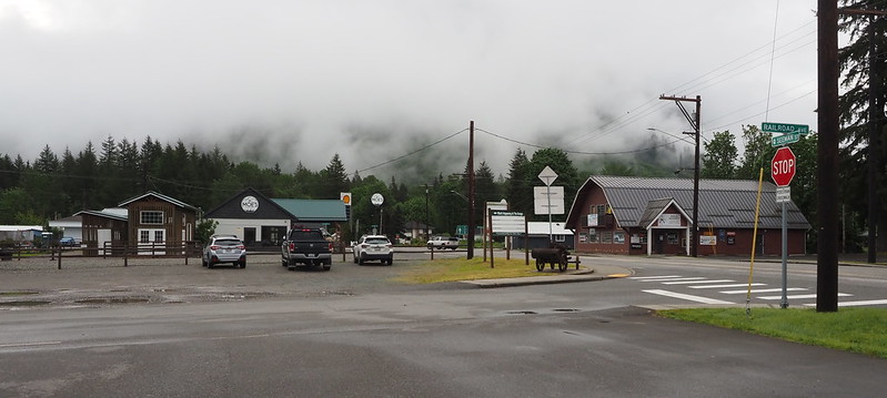
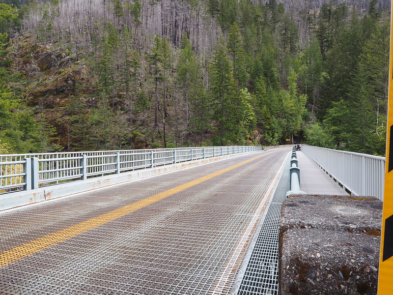
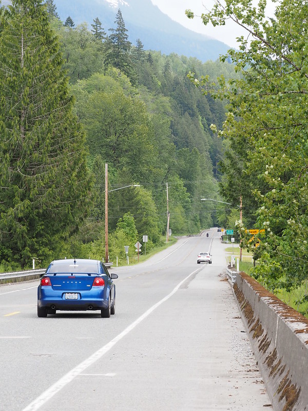
After turning on my heated grips and setting "Newhalem Street" as the next destination in my GPS (Washington Pass wasn't listed), I rolled out of Darrington. It was a pretty nice ride here with no traffic and lots of green scenery, but I did have to be careful crossing the grated bridge deck across the Sauk River.
The smoothness continued along SR-20, aside from having to wait at a traffic light set up for a one lane section of the highway. As I rode through said section, I saw that the downhill side of the highway was subsiding significantly. Scary!
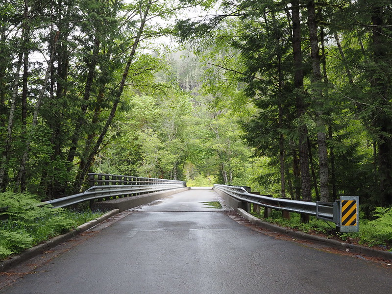
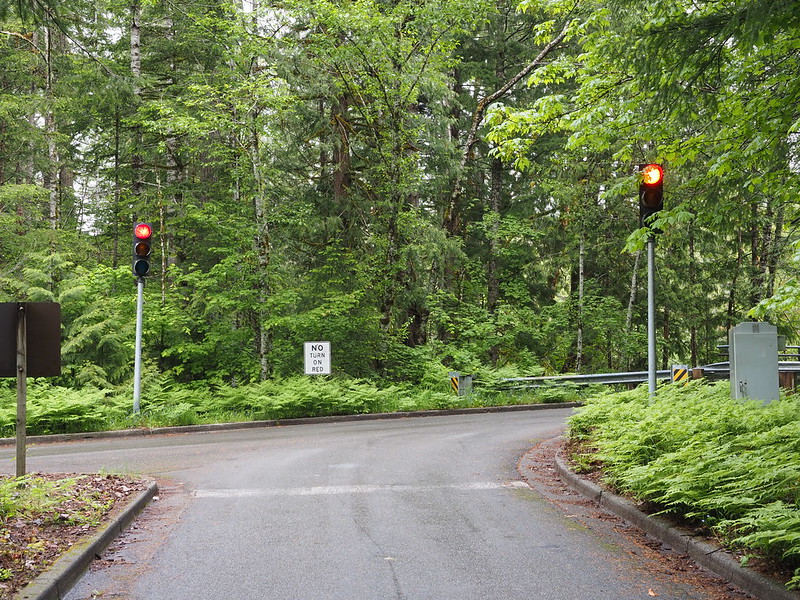
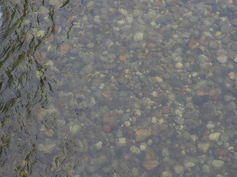
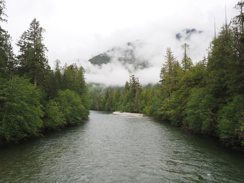
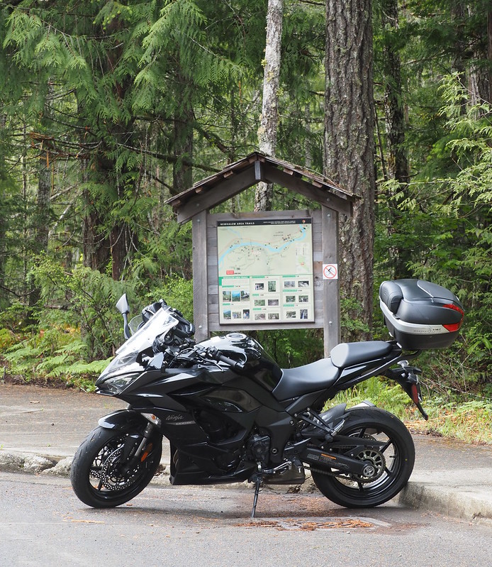
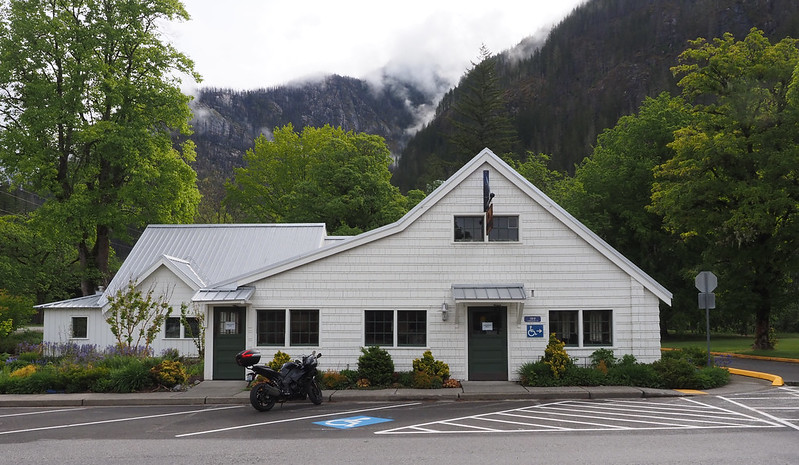
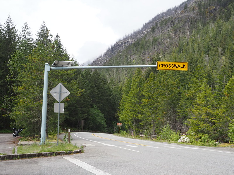
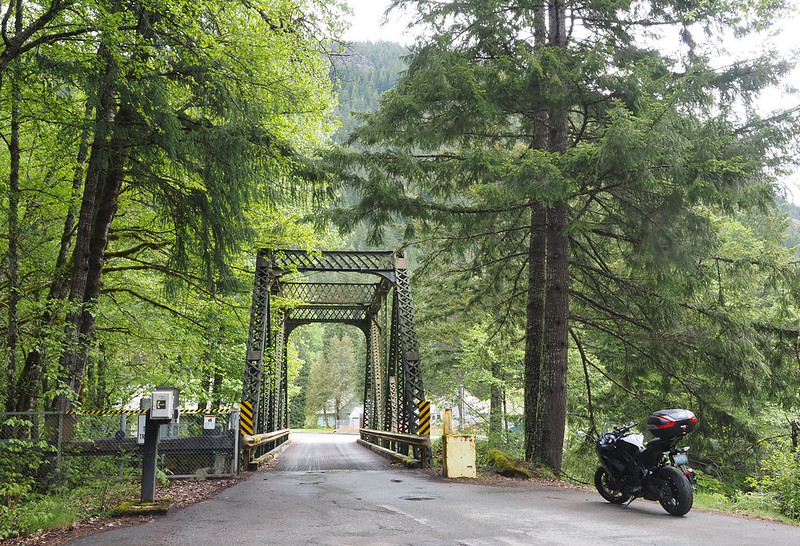
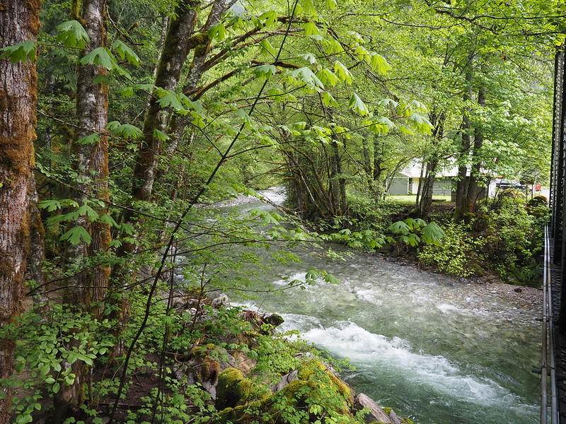
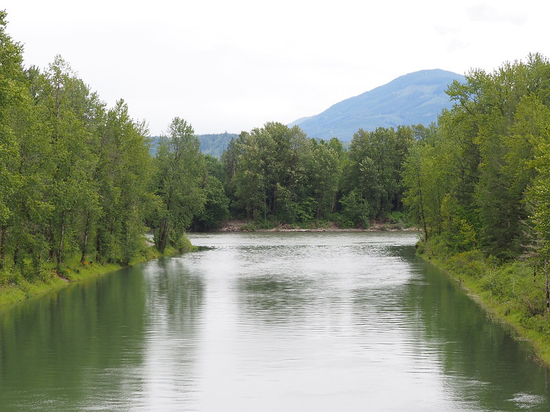
Newhalem Street turned out to be the access road to the North Cascades Visitor Center, which I wanted to check out. Said road had a one lane bridge with permanent traffic lights set up to default to letting inbound traffic go, with a sensor switching the direction to outbound traffic. While snapping photos around the bridge, the beauty of the scenery and the clarity of the river water out here really hit me!
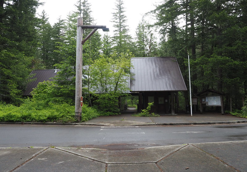
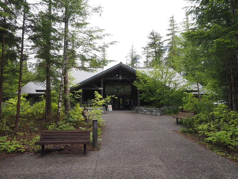
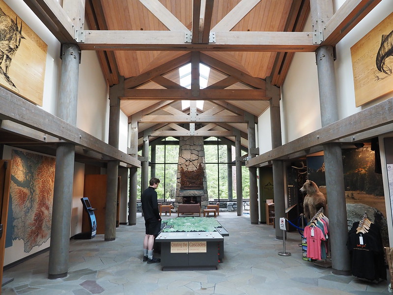
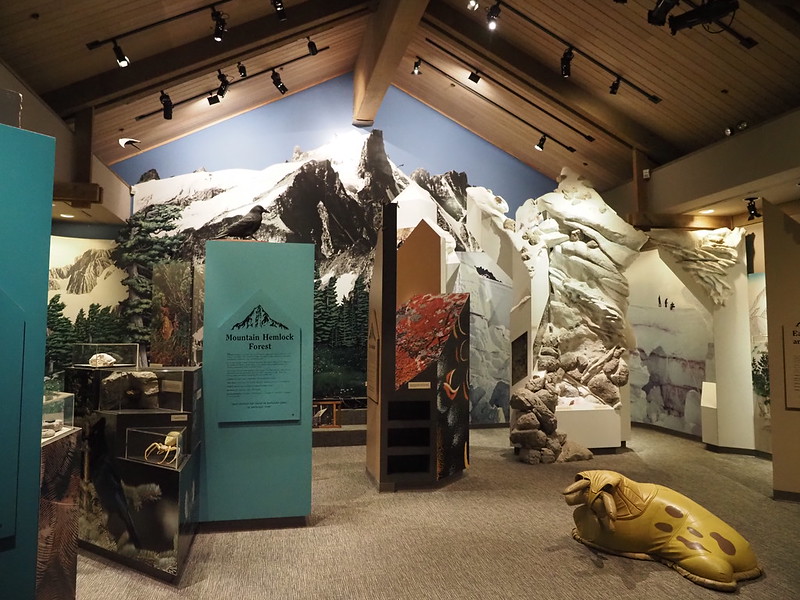
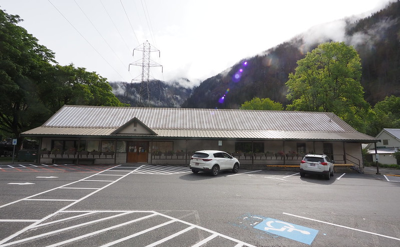
When I headed up to the actual visitor center, I saw a lot of tourists who I'd later see a lot of along the route. They were waiting at the entrance for the visitor center to open, and since I really needed to use the restroom, I joined them. I watched as one of the rangers was unfolding and hoisting up the flag, thinking that he'd be the one to open the door, but an older ranger was taking care of that. Once inside, I wandered around for a while, looking at the exhibits and for the restrooms at the same time. The restrooms turned out to be right inside the entrance, by the way.
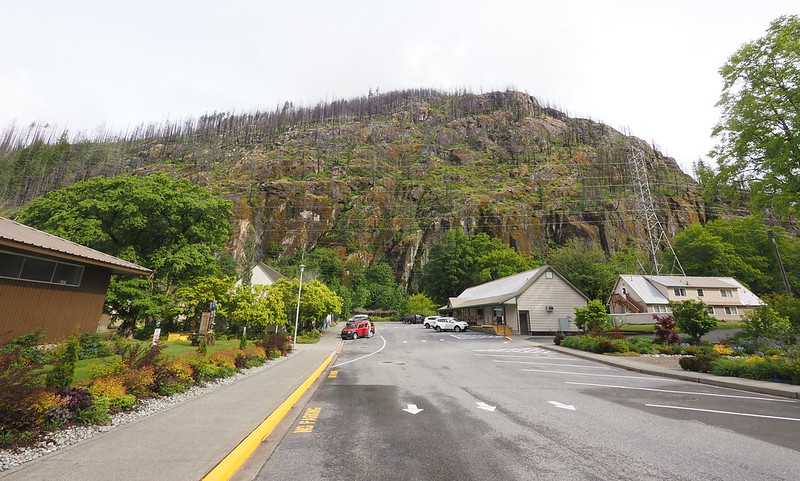
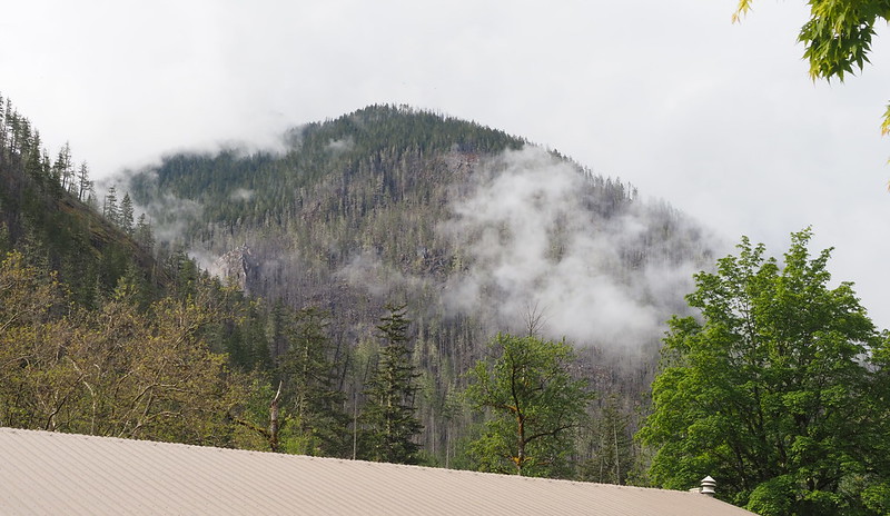
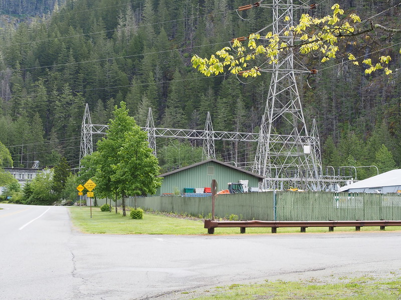
My next stop was in Newhalem, a Seattle City Light company town where only employees are allowed to live. It was just like I remembered, but I'd completely forgotten about the huge rocky hill to the north! The general store was closed, so I walked around a bit, taking photos.
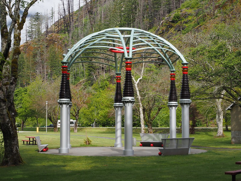
One thing that caught my eye was the art installation behind the Skagit Information Center.
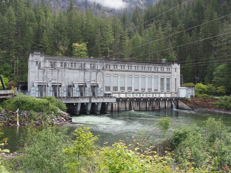
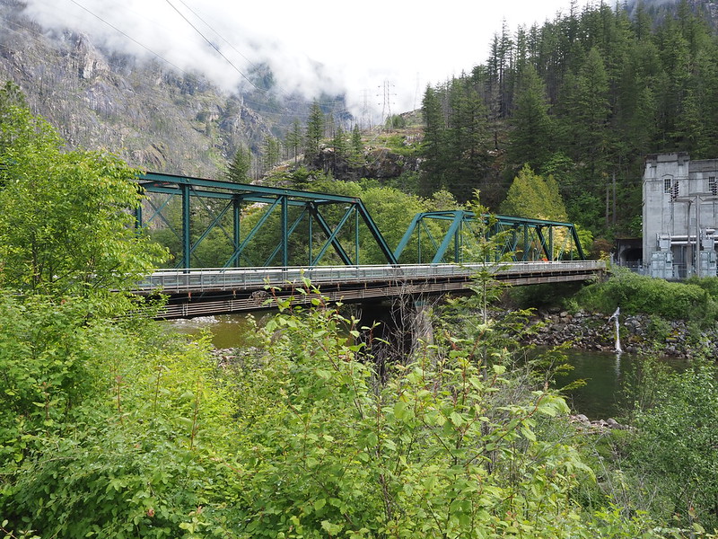
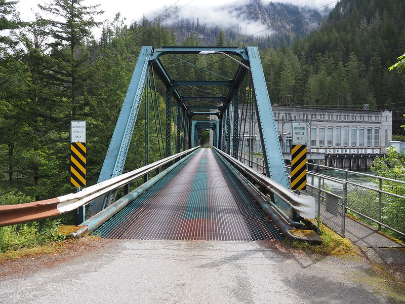
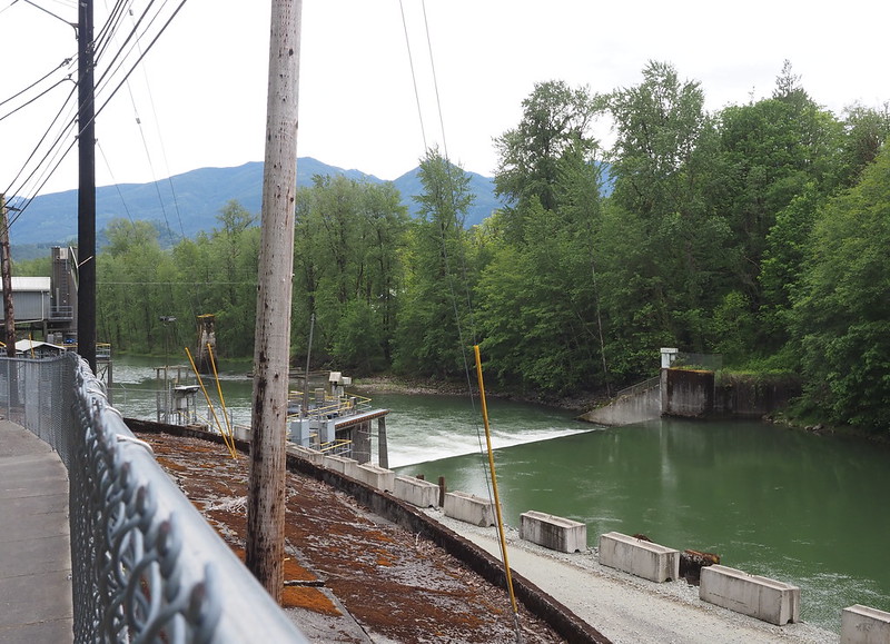
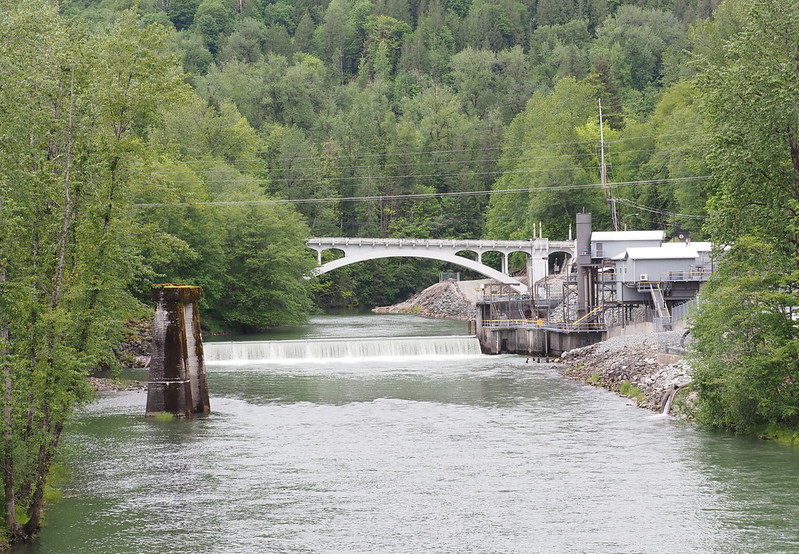
I also walked a ways to get the Gorge Dam Powerhouse. I didn't recall it being so far, but that was likely because I rode my bike down there last time.
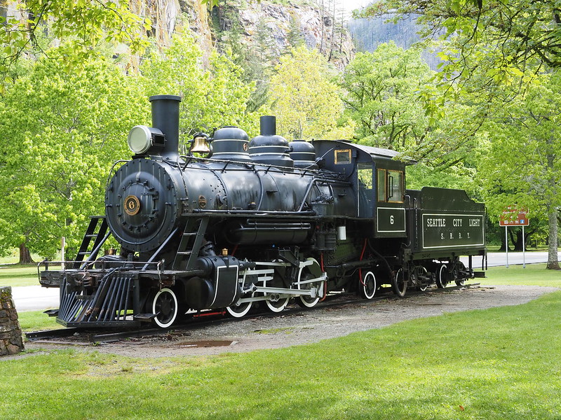
For folks who don't know, the access bridge to the powerhouse used to carry the Skagit River Railway, one of whose locomotives is sitting in the nearby park.
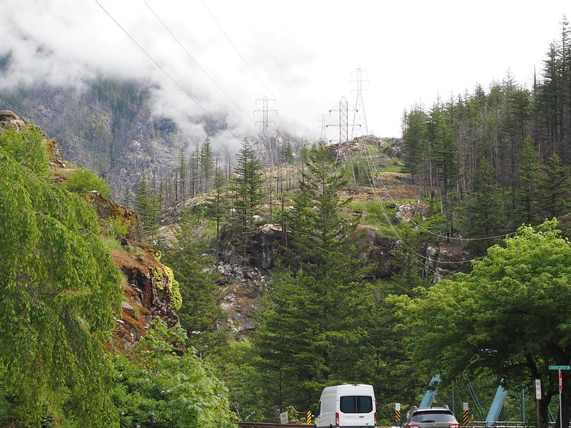
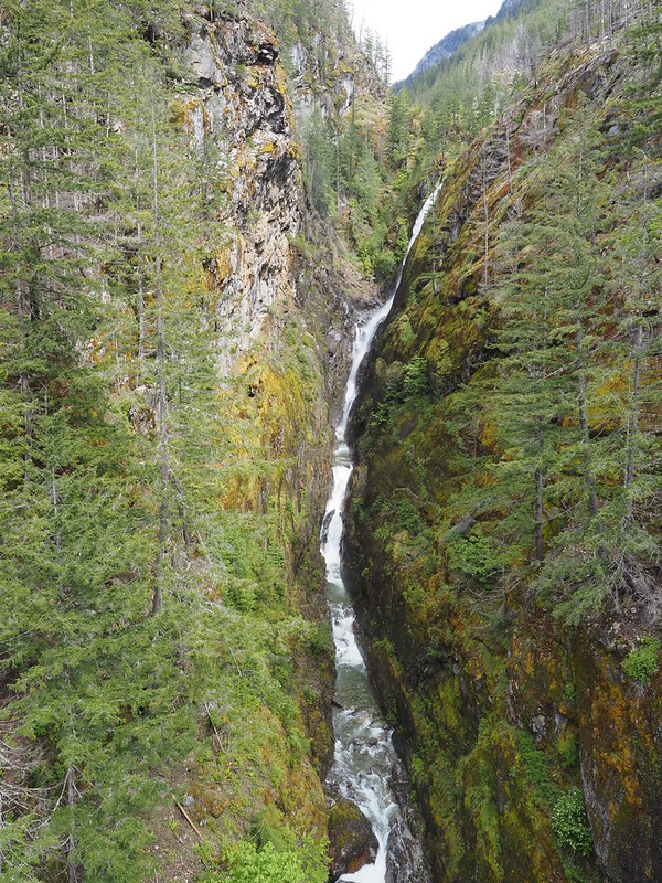
A little further down the road was the Gorge Overlook Trail trailhead and Gorge Creek Bridge, which also had a grated road deck.
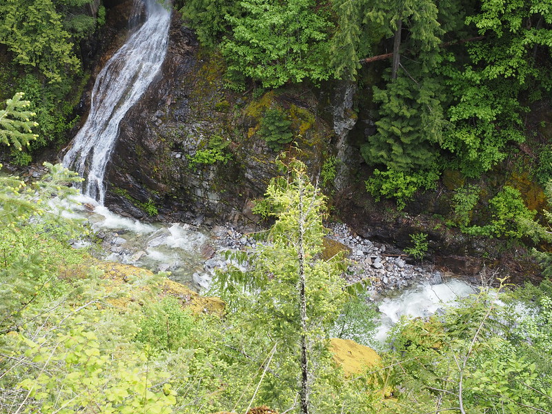
While I was asking photos, an older couple asked me if if there was a waterfall, and I told them it was on the hill side of the bridge.
My next destination was the Colonial Creek Campground, but I didn't think to put it in my GPS and ended up making a wrong turn. Turns out the campground isn't on Diablo Street! I did get some nice photos out of this little detour, though, and I wasn't the only one who made the same mistake, only to turn around at this bridge across the Stetattle Creek.
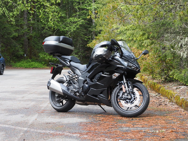
When I actually did make it to the campground, I saw lots of campers and others making use of the facility. The only free parking spaces I saw were the huge ones meant for trailers and RVs, but I managed to make use of a little triangle of pavement that was out of the way.
While snapping photos, I saw a couple of big groups of cruiser riders crossing the nearby bridge.
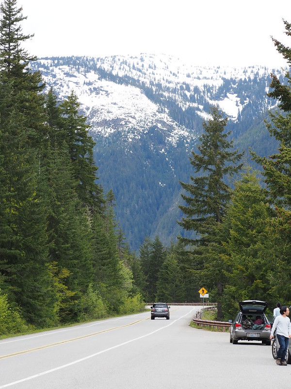
For much of the curvy highway section up to Rainy Pass, I was stuck behind the same two cars. The lead of our platoon was a small crossover who was slowing down at every significant turn, followed by a big diesel pickup towing a large trailer, then me. Said truck would periodically randomly gun it and spew out black smoke. When we got to a long, straight, and clear section of the road, the truck finally passed the car, and I was glad to no longer have to deal with the smoke. This was also where I started seeing road warrior bicyclists climbing and descending the highway.
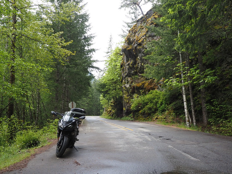
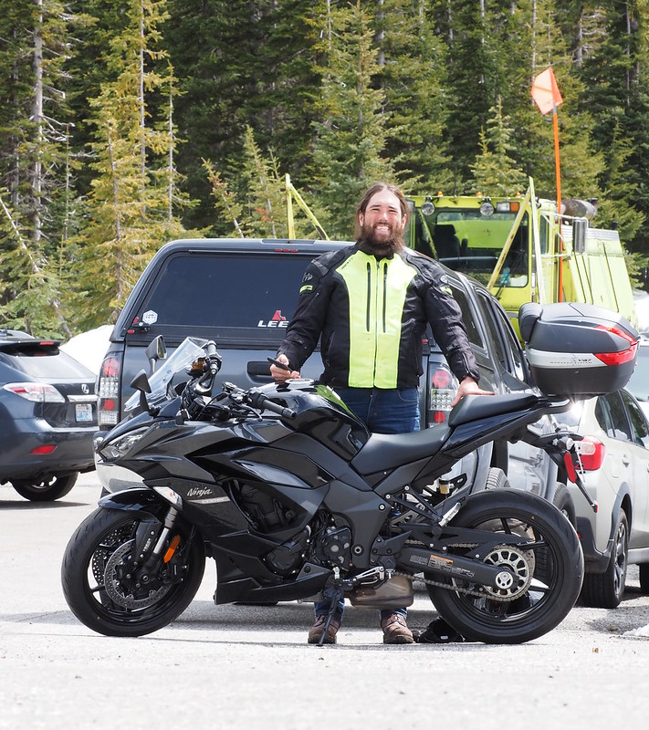
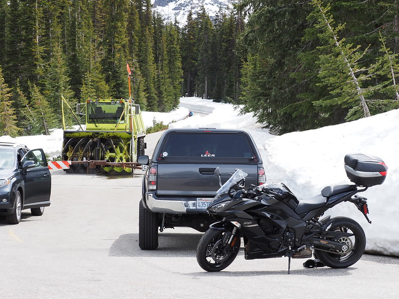
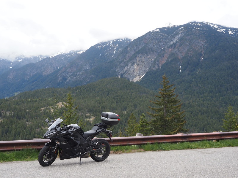
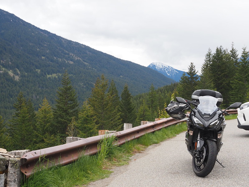
When I finally got to Washington Pass, I pulled off on the access road for the pass's viewpoint, which was closed not far from the highway. I really wanted to get a photo of me with my bike here, but I had to fight the camera remote control app since I had no cell phone service. Why in the world does it need service to control a camera 20 feet away? The people pulling in and out trying to get to the viewpoint over and over didn't help, either, but I eventually got my photo.
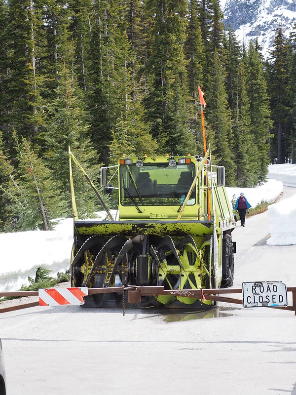
Just on the other side of the gate was a snow clearing apparatus, with someone walking back from the other end of the road, likely scouting it out. I really liked how the snow was so smoothly cut off the road.
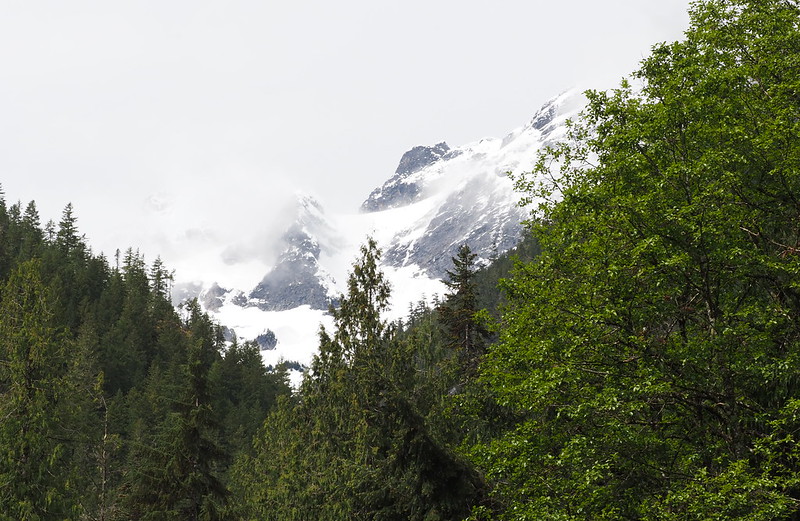
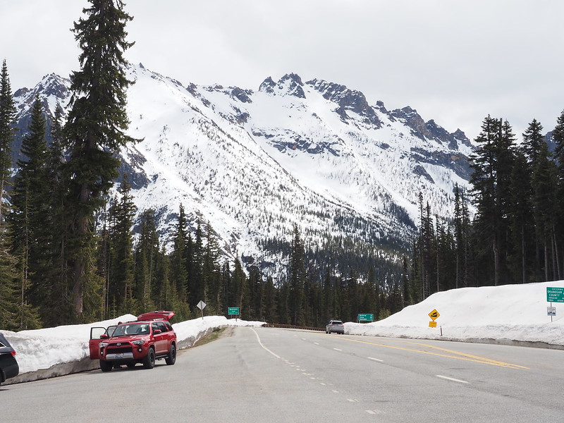
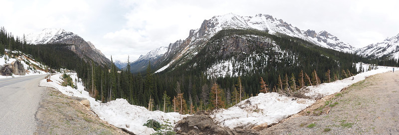
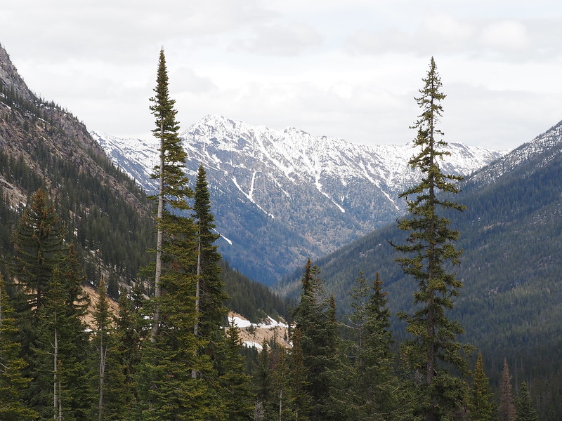
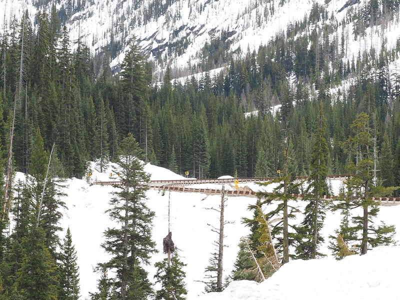
I also made a stop at the viewpoint just past the sweeping highway curve and some snow that had fallen into the road to get my favorite shot of the ride.
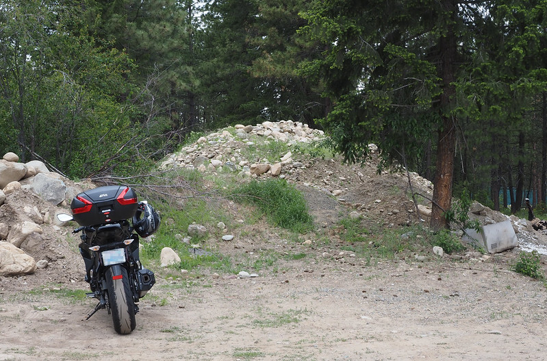
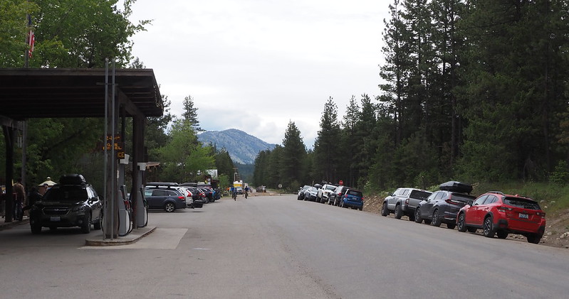
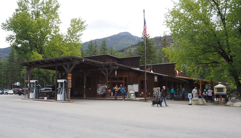
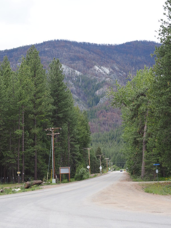
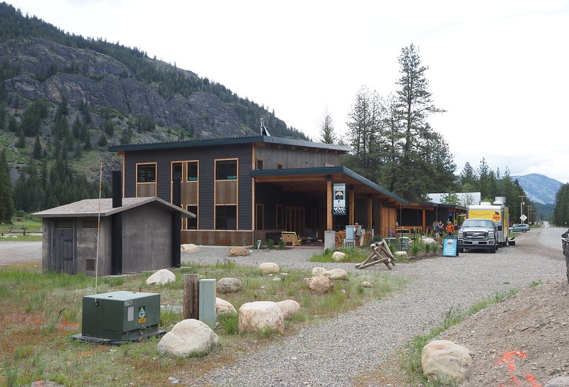
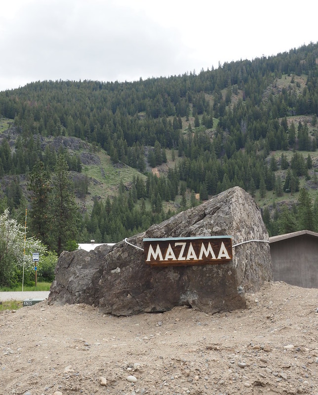
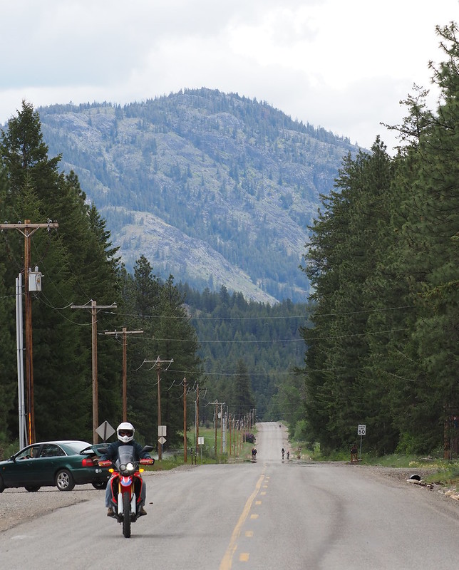
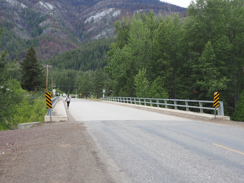
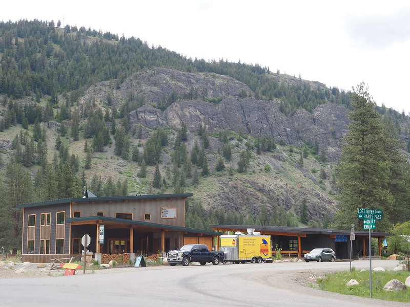
I finally got to my turning back point in Mazama around 12:30 or so, after having a bit of trouble finding parking. There were cars everywhere, most of them with bike racks either with or without bikes on them. I eventually found a spot next to a pile of rocks, then ran to find a restroom. Once done with that, I was hoping to avoid the long line for food at the cafe by getting a prepackaged sandwich indoors, but only ended up with a nice new "Mazama Store" Hydroflask and a gallon of water. (They didn't have any smaller bottles of water.)
When I did get back out to the cafe, the line wasn't very long anymore, so I ordered a "zesty" turkey sandwich and a croissant. I ended up with an almond bear claw instead since they were out of the latter, then ate the sandwich in the picnic area, which was pretty good!
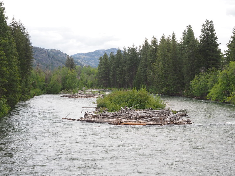
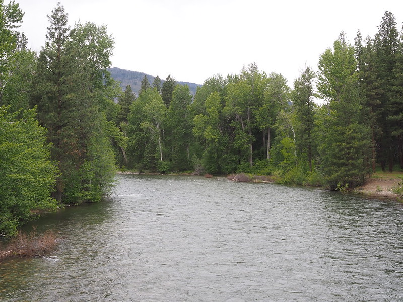
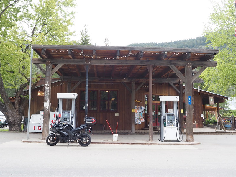
After going on another photo walk, including to visit the Methow River, and drinking the energy drink I'd originally packed because of the long road home, I took care of my last order of business out there: gas for my bike. I was hoping to get a nice photo at the rear pump, but since it didn't have premium gas, I had to go to the front one. Turns out the premium at the Mazama Store was ethanol free, but the regular isn't.
Inbound
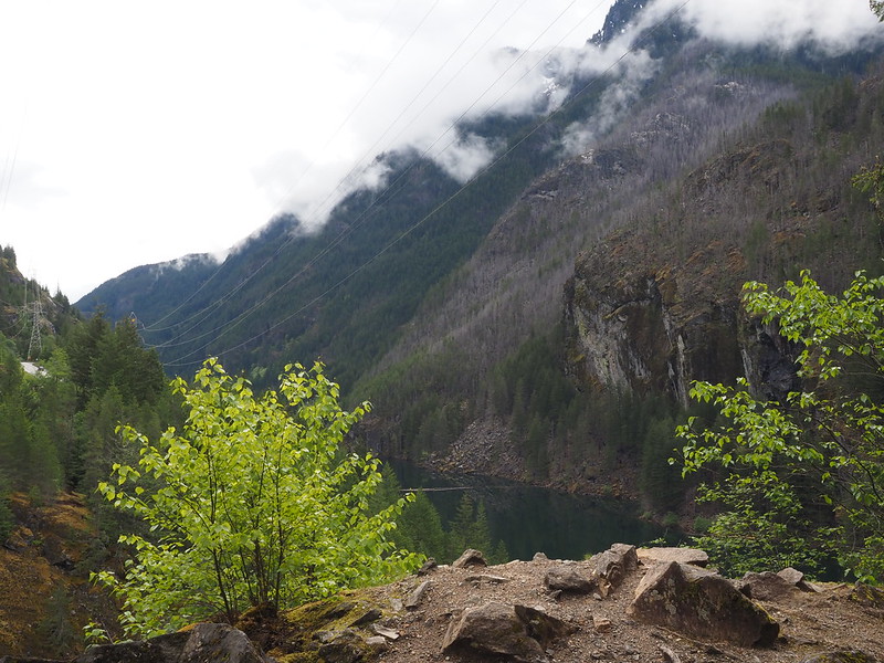
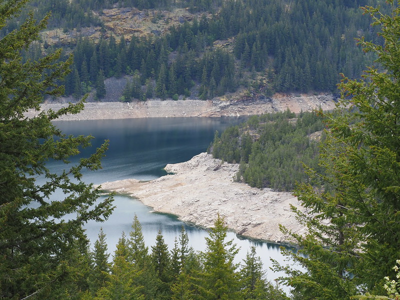
On the way back, I first stopped at the Ross Lake Overlook, which was something I noted as needing to check out on the way out. Similar to Washington Pass, I had a lot of trouble getting a photo of the bike because of people walking around and pulling in and out. As far as the lake went, its level looked very low.
Before leaving, I ate the bear claw from earlier since I was a little hungry.
Between Ross Lake and Newhalem, it started to sprinkle, so I dialed down my speed in corners to avoid causing a slide-out on the recently wet pavement. One sports car didn't like that so much, and passed me when around Diablo Lake…only for me to end up right behind it in and after Newhalem. At this point, my hands were pretty sore from holding onto the grips all day, though the soreness was even throughout rather than on the edges like on my Triumph.
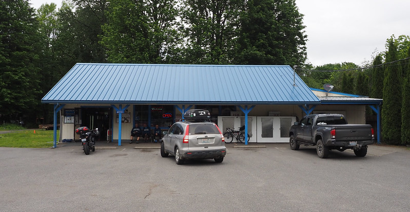
My food stop was at Chom's in Marblemount, as I didn't get so many photos of the town last time. When I showed up, there was a group of bicycle tourists hanging out in front of the store, and I ended up in line behind them when waiting to pay for some beef jerky I bought, as the restroom was for customers only. The group was trying to buy two cans of beer, but the clerk said they only sold them in six packs. If I recall correctly, they ended up allowing the purchase because they were staying at the adjacent North Cascades Inn.
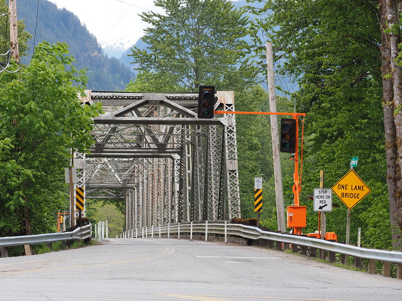
While taking photos, I noticed that the  Cascade River Road Bridge was now one lane with temporary traffic signals, unlike last time when it had the normal two lanes.
It was at this point that I discovered that the Rockstar I'd bought at the Darrington IGA had popped, so I had to dump out the liquid and wring out the stuff that got wet, while it was raining a little harder. A KTM rider stopped at Chom's while I was doing it and when I said I had a 2013 690 Duke, he said that's what his bike was. He asked if I was headed to the east side, and I told him I was just heading back. I said that it looks like it was raining more, and he said he hoped it wouldn't get any worse than the current sprinkling.
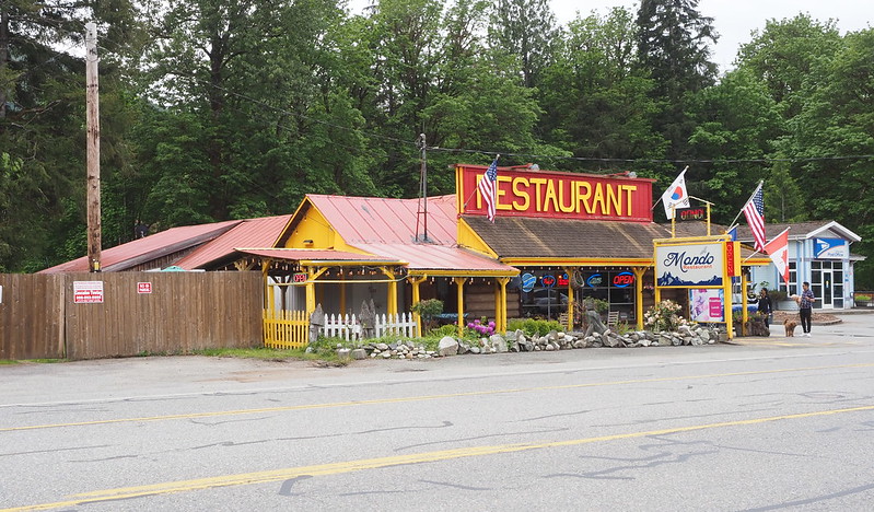
Rather than taking SR-530 back through Darrington, I stuck on SR-20 so I could see the Henry Thompson Bridge in Concrete. I read online that it was the old SR-20 bridge, so I had to check it out.
I parked my bike in a very tight angle on a side road's intersection, and saw a few cars enter and exit. The sign up the hill said something about construction, but the drivers were likely checking out the Lower Baker Dam Overlook.
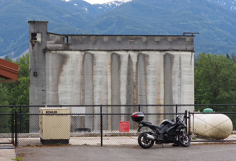
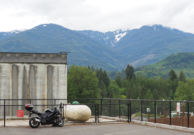
Knowing that Concrete had  Silo Park, I wanted to get a photo of my bike with the old silos. Unfortunately, there was no shoulder on the highway adjacent to the park, and the gravel parking lot was too close to the silos for a good photo with them, so I went up the hill into town and found an empty parking lot for the volunteer fire station and parked my bike in a little triangle that wasn't part of a parking space for the photos.
As I continued west, the rain sustained and traffic got worse, but thank fully never ended up stop-and-go. I got gas in Burlington (paid for it inside again), then hit the freeway back home.
Traffic on the freeway was surprisingly light the whole way home. There was some slowdown, but nothing like a typical Saturday afternoon! Despite not wanting to stop to dawn my rain gear, I stayed warm enough for the rest of the ride.
Traffic was honestly not bad at all. Still didn't enjoy the rain, though.
— 竹下憲二 (@takeshita_kenji) May 29, 2022
From time to time, I used cruise control in traffic to take the strain off my hands.
My hands hurt so much from #motorcycle riding all day.
— 竹下憲二 (@takeshita_kenji) May 29, 2022
Thankfully, I got home well before dark. I'd forgotten to clip my garage opener to my keys, but rather than trying to do it the hard way, I simply dismounted the motorcycle, clipped the opener on, remounted, and hit the button to open the door. I didn't have to deal with anyone stuck behind me at the entrance, either.
Over the next couple days, I dealt with the results of some nasty food poisoning. I don't know if it was from food on the trip or from food when my partner went out drinking after I got home, but I ended up losing the rest of the weekend to it.
















No comments:
Post a Comment