Down through the foothills, up through the valleys.
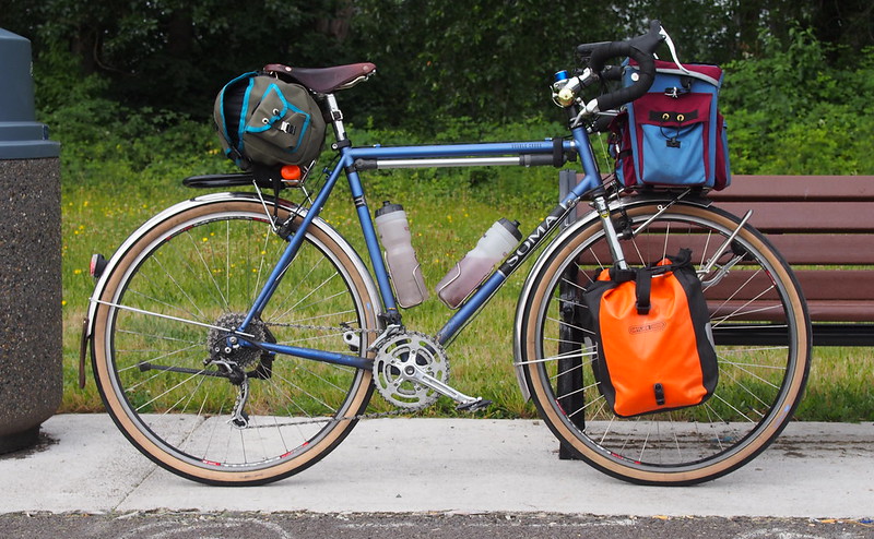
I outfitted my bike with Compass Barlow Pass tires and sealant after the success of last lime.
More after the break…
Related albums:
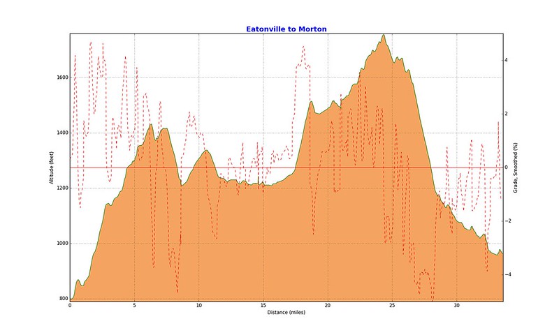
Day 1: Seattle to Morton
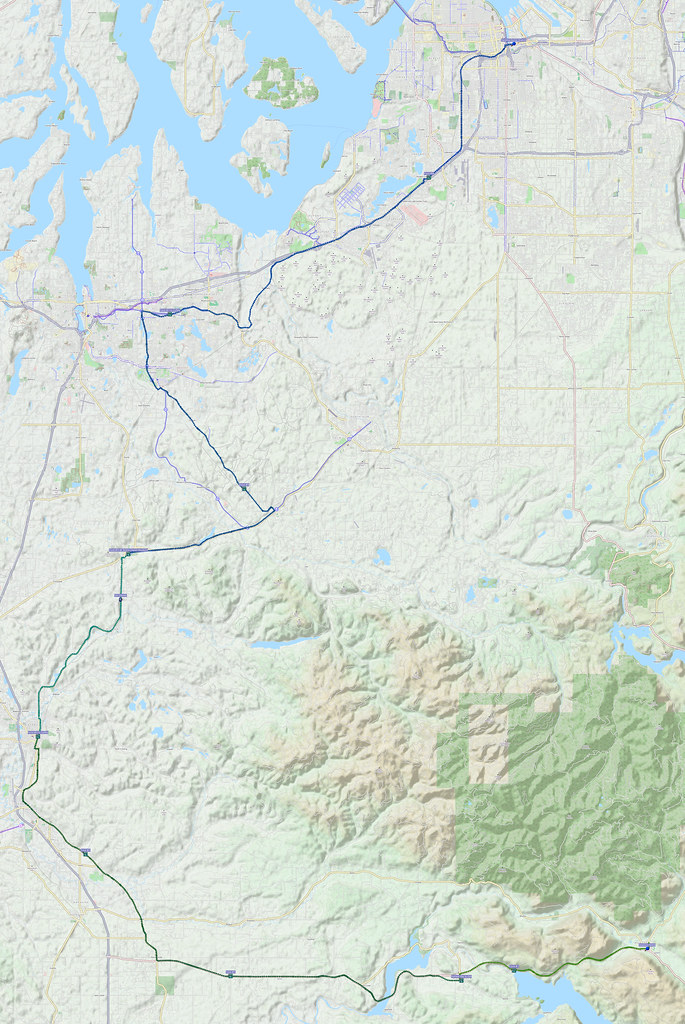
Like usual, I started at about 05:00. Rather than skipping Seattle, I rode through south it to add a few miles.
As soon as on-screen #cycling infrastructure goes in, it becomes a parking lane and walking path…
— 竹下憲二 (@takeshita_kenji) July 2, 2016
…even though the latter two are already far more common.
— 竹下憲二 (@takeshita_kenji) July 2, 2016
Rode along Alaskan Way to avoid debris-ridden downtown. Lots of drivers waiting for the ferries for a nice holiday.
— 竹下憲二 (@takeshita_kenji) July 2, 2016
I took my older route through Allentown, along the Green River Trail, then followed the Interurban Trail. I stopped in Kent for water and a 'half-caff' drink, but had to wait for a while because a crowd entered right before me.
I have bad timing. (@ Starbucks in Kent, WA) https://t.co/Nvhbzarfs6
— 竹下憲二 (@takeshita_kenji) July 2, 2016
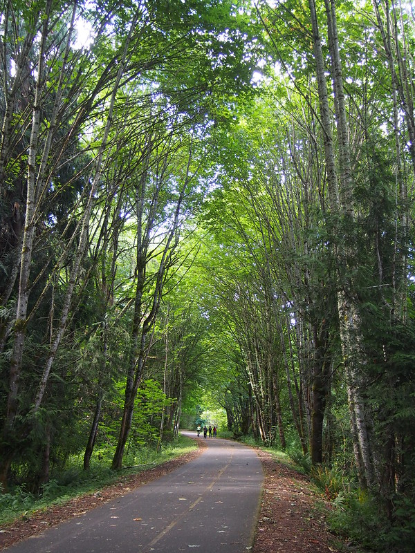
Then, I returned to the trail and took it through Auburn, and jumped to the C Street Trail. Rather than switching to the East Valley Highway immediately, however, I continued straight to see where the trail went south of my usual jumping off point. It wound along the edge of neighborhoods for a while. I was curious about how I'd get to the other side of the BNSF mainline and White River, which I eventually found via the Stewart Road SW. While I could've crossed the road, then used a little stub and underpass of a trail to directly join the East Valley Highway, I decided to head south along the Sumner Link Trail for whatever reason.
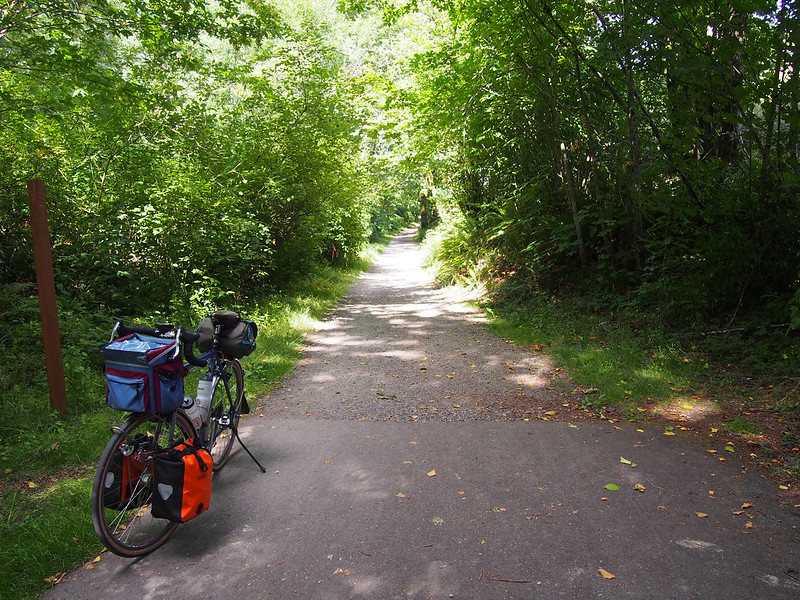
Last time on the trail, I followed it until it turned into bicycle lanes. This time, however, I left it as soon as my GPS indicated a clear route to the East Valley Highway, which involved going through a business park that was dead on that Saturday. Once on the East Valley Highway, I did my usual thing to get to the Foothills Trail, then followed it to Orting to chat with Brian at the Trailside Cyclery.
I'm at Trailside Cyclery in Orting, WA https://t.co/AcRswlSHbA
— 竹下憲二 (@takeshita_kenji) July 2, 2016
A guy was there who was big into fixing up old Schwinn bikes. Brian was talking about "American" (Schrader) and "Euro" (Presta) valves, as well as the various weird rim sizes that Schwinn used.
I took Oroville Road to leave Orting just like last time and saw lots of other cyclists going both ways, enjoying the nice weather.
Lots of cyclists on the north half of Oroville Road.
— 竹下憲二 (@takeshita_kenji) July 2, 2016
When I stopped to eat and acquire Gatorade at Kapowsin, I chatted a bit with an older guy who was just riding around to train for the STP. He said that he was "going to ride (west) until he got tired" and I joked about riding through Puget Sound since that's what was eventually west.
I didn't see any cyclists south of Kapowsin, but I did make awesome time. I rose out of the saddle for most of the climbs and used my momentum wherever I could. At that point, I realized one disadvantage of riding on such narrow roads in traffic: out of the saddle climbing doesn't really work when cars are trying to pass. Even though I have no trouble keeping a straight line when I do it, drivers understandably are very nervous when passing cyclists do it.
Made some pretty awesome time on the rollers of Oroville Road.
— 竹下憲二 (@takeshita_kenji) July 2, 2016
Getting tired of the muggy water.
— 竹下憲二 (@takeshita_kenji) July 2, 2016
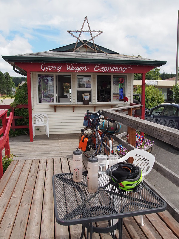
I stopped in Eatonville for some coffee and a short rest for the next stretch.
Getting up here us always hard. (@ Gypsy Wagon Espresso in Eatonville, WA) https://t.co/PLVK41aEqg
— 竹下憲二 (@takeshita_kenji) July 2, 2016
Coffee has shown itself to work much better than soda on my rides, so I guess it'll be coffee only from here on out!
— 竹下憲二 (@takeshita_kenji) July 3, 2016
I almost have the saddle at the perfect spot. Almost… #cycling
— 竹下憲二 (@takeshita_kenji) July 2, 2016
Might try tipping it up one tick from here (1-2 ticks above level) later today to take pressure off my knees.
— 竹下憲二 (@takeshita_kenji) July 2, 2016
Lots of cars towing boats and camping trailers today. Most drivers are being very careful.
— 竹下憲二 (@takeshita_kenji) July 2, 2016
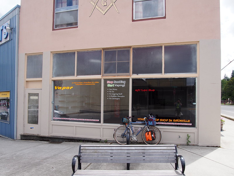
Then went to go say "hi" to the owner of the bike shop I saw on my first ride to Eatonville…which had been replaced by a vape shop that subsequently went out of business.
Aww, the bike shop is gone.
— 竹下憲二 (@takeshita_kenji) July 2, 2016
Saw this on Yikyak while passing through Eatonville: "Eatonville is where dreams go to die."
— 竹下憲二 (@takeshita_kenji) July 3, 2016
Rather than sticking around for much longer, I started the climb over Alder Cutoff Road.
Just like last time, the climb seemed like it took a while, but it wasn't as 'unending' in my mind this time around. Once I hit SR-7, I started heading east along it to Elbe, which is also where Pierce, Thurston, and Lewis counties all share a border.
Tipped the saddle one notch nose up and things got better. Really close to the ideal saddle position.
— 竹下憲二 (@takeshita_kenji) July 3, 2016
Apparently I bypassed Thurston County on my way here.
— 竹下憲二 (@takeshita_kenji) July 3, 2016
From Elbe, I headed south with SR-7 rather than taking SR-708 to Mount Rainier National Park.
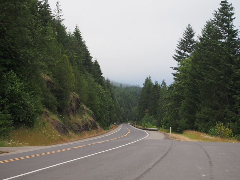
It wasn't long until I was hit with a long climb, but it wasn't hard, and the highway leveled out after.
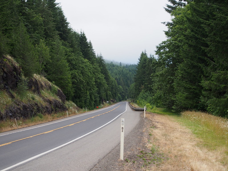
Shortly after passing Summit Creek, I entered a long descent where familiar high-speed shimmy made itself known yet again. Since I get it when I have lowriders in front or in back, maybe a roller-bearing headset would be a viable option. Too bad almost nobody makes them for threadless steerers.
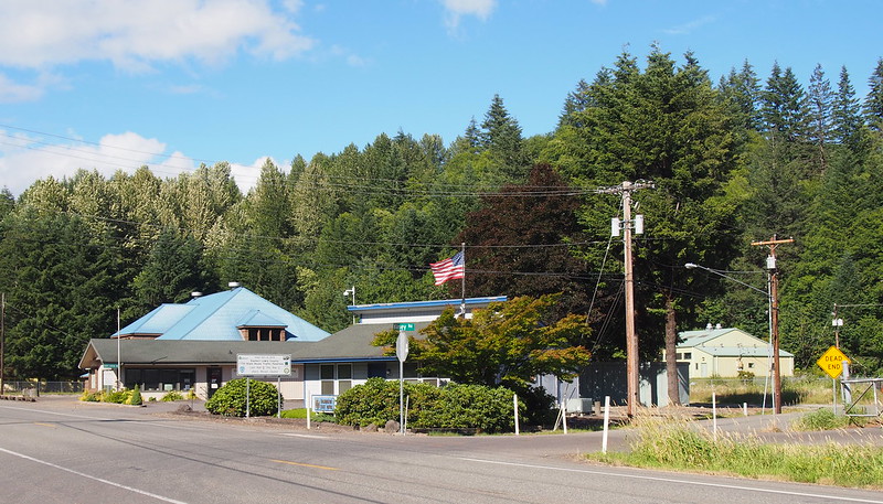
Even though the road was vaguely downhill at this point, the strong headwinds severely cut my speed as I got into Morton.
I was blasted with headwinds after descending from the summit of SR-7 here.
— 竹下憲二 (@takeshita_kenji) July 3, 2016
This wasn't so hard. I actually am managing two multi-day rides on consecutive weekends.
— 竹下憲二 (@takeshita_kenji) July 3, 2016
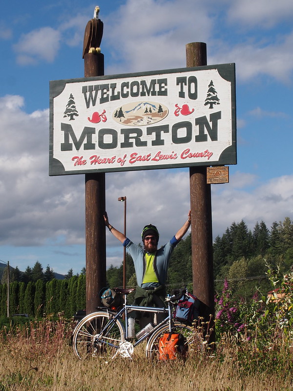
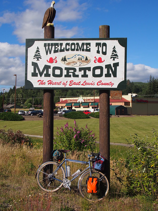
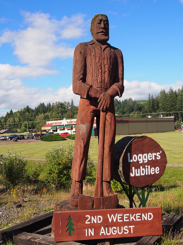
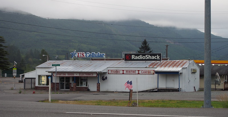
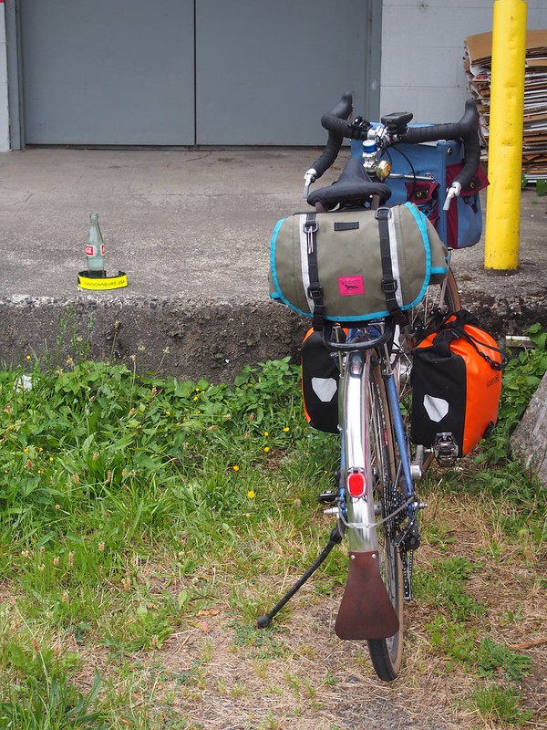
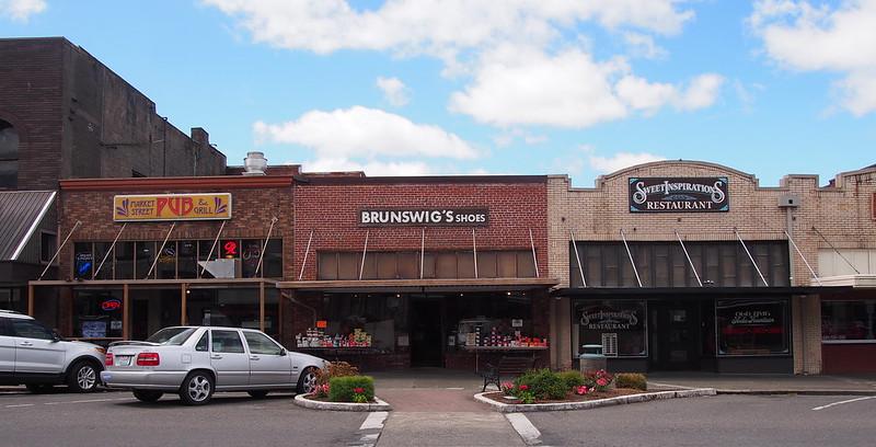
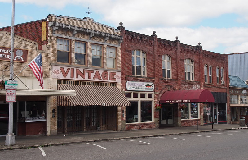
Finally, I made it to town and found a good 'trophy photo' spot.
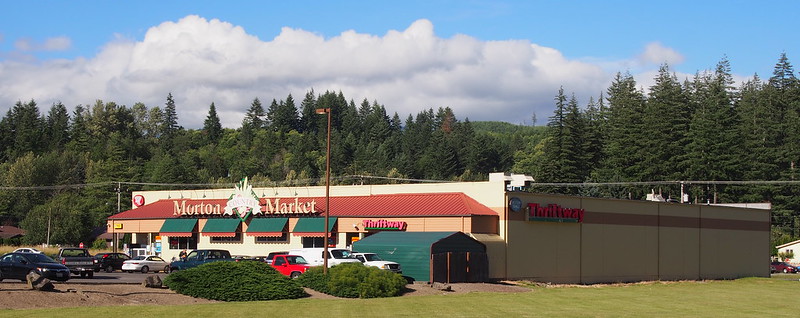
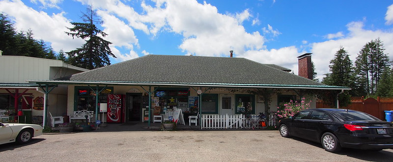
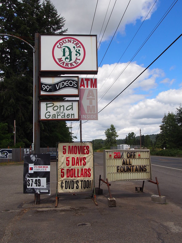
Before finishing my day's ride at the motel, I stopped at the local grocery store for supplies.
I used to try to carry enough food for both days of S24O rides, but that really detracts from the ride itself.
— 竹下憲二 (@takeshita_kenji) July 3, 2016
Hitting up local supermarkets and general stores works a lot better.
— 竹下憲二 (@takeshita_kenji) July 3, 2016
Throughout my life, drinking water would often make me sick. Maybe that points to a salt imbalance issue.
— 竹下憲二 (@takeshita_kenji) July 3, 2016
And then I checked in and got my room.
I'm at Season's Motel in Morton, WA https://t.co/y3yzEXa1SC
— 竹下憲二 (@takeshita_kenji) July 3, 2016
I don't get mobile phone reception out here. Thank goodness for WiFi!
— 竹下憲二 (@takeshita_kenji) July 3, 2016
The staff here apparently used to do the Winlock #BikeSTP pancake breakfast.
— 竹下憲二 (@takeshita_kenji) July 3, 2016
Before calling it a day, I ate at the local Mexican place. The staff there was very nice, but that might just be part of the routine there.
Just got back from here. Not bad! (@ Plaza Jalisco's in Morton, WA) https://t.co/QjYXCczaFe
— 竹下憲二 (@takeshita_kenji) July 3, 2016
I think it's kind of cool how land lines are able to power corded phones.
— 竹下憲二 (@takeshita_kenji) July 3, 2016
And then I showered and went to sleep.
Day 2
Part 1: Morton to Tacoma
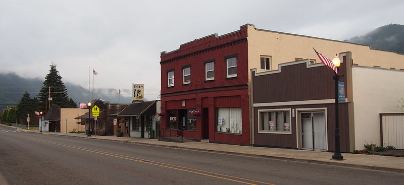
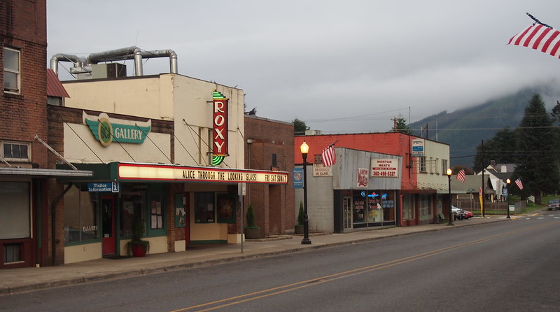
I left the motel a little later than the previous day at 06:00 and went through town to get some photos. It was pretty foggy, but it was a nice change of pace from the mugginess of the previous day.
Heading out.
— 竹下憲二 (@takeshita_kenji) July 3, 2016
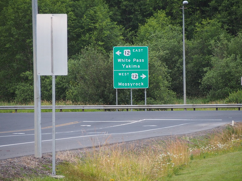
And then I started on my west along US 12. SR-508 was another option, but I wanted to hit more towns on my way.
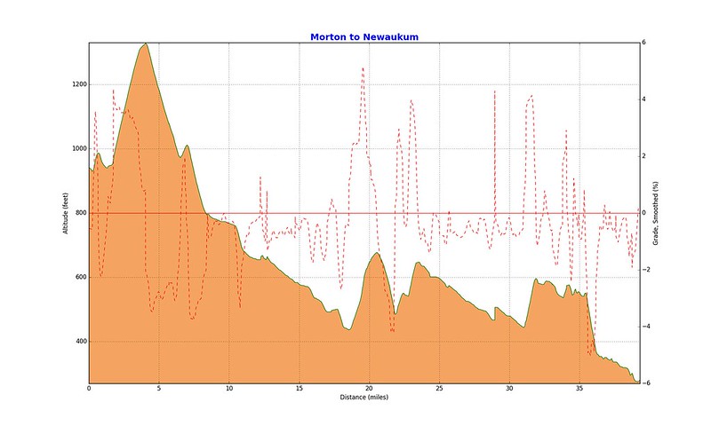
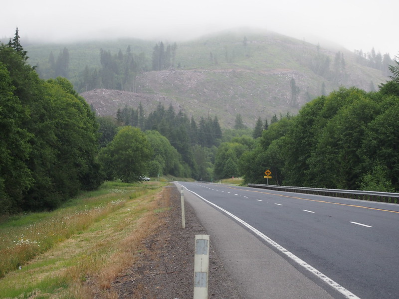
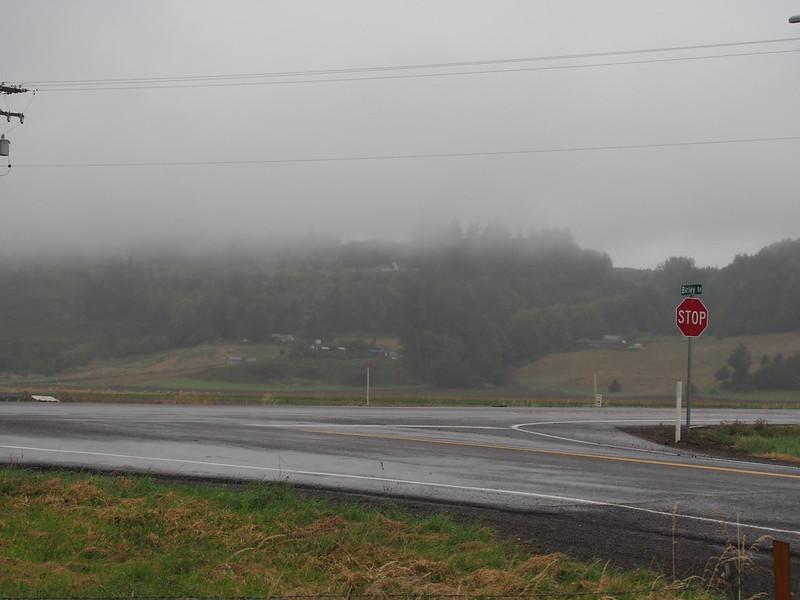
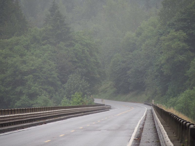
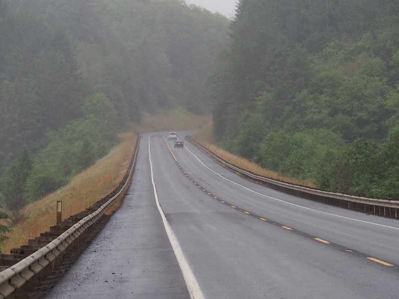
It was quite a climb out of town! It wasn't long after the crest that I noticed the drizzle, which progressively got worse as I got further down the descent. This would be a pattern throughout the morning.
Experienced miniature rain shadows in the foothills. Gross.
— 竹下憲二 (@takeshita_kenji) July 3, 2016
Experienced the rain shadow effect first hand in the foothills…over and over…
— 竹下憲二 (@takeshita_kenji) July 3, 2016
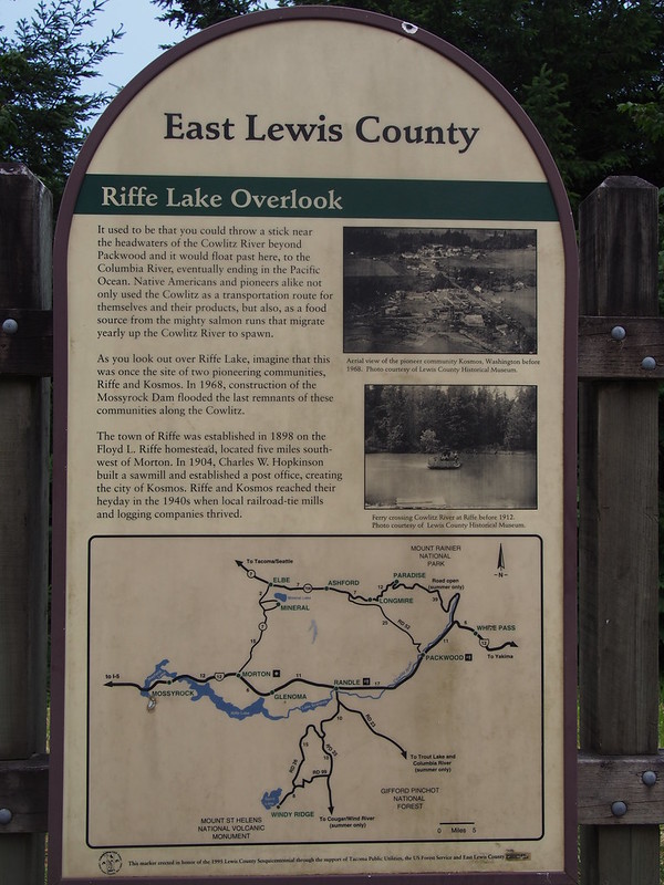
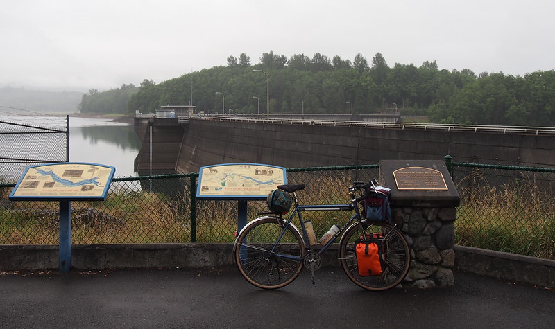
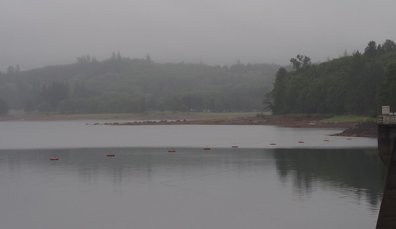
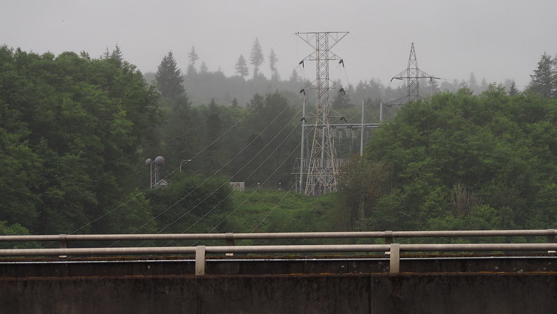
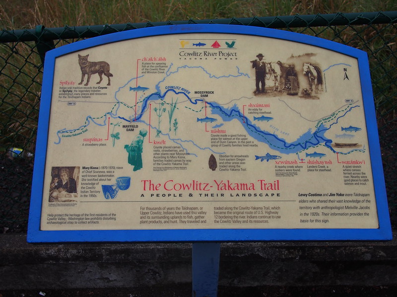
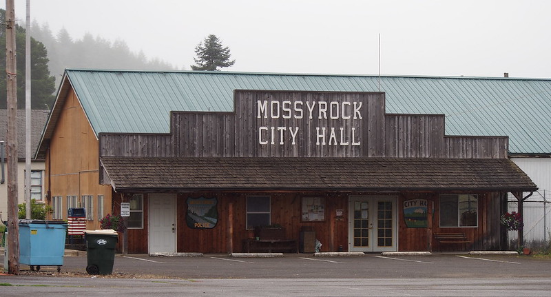
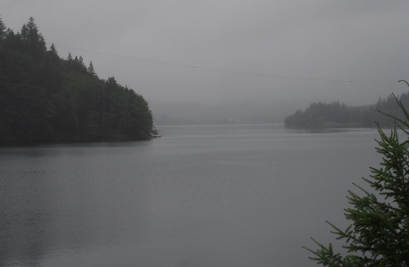
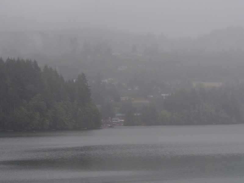
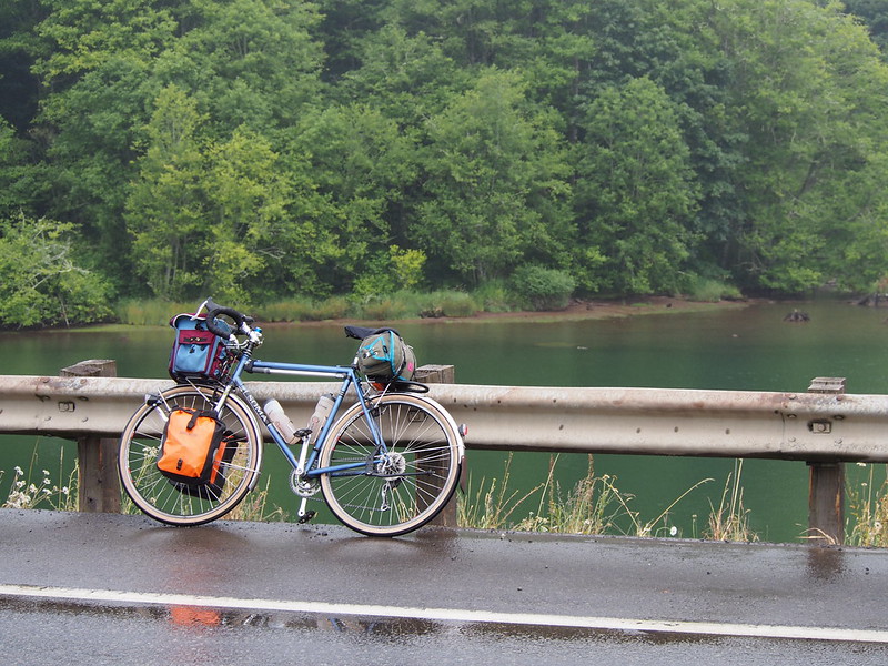
It was still drizzly when I got to Mossyrock Dam. I'd actually been at the reservoir before, fishing for Kokanee salmon with my father years ago.
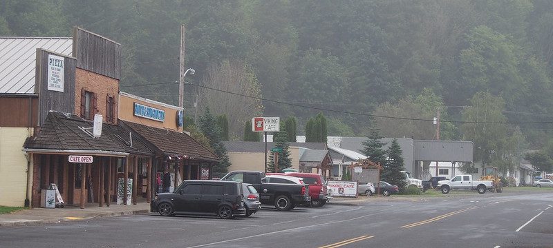
Further west, I took the turnoff into the town of Mossyrock to get some coffee to harden my resolve.
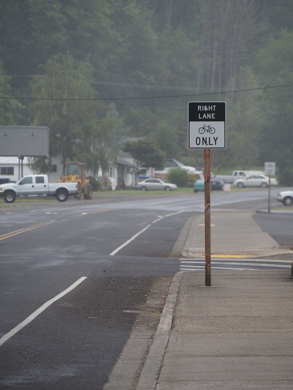
The lone bike lane was a bit funny to me, too.
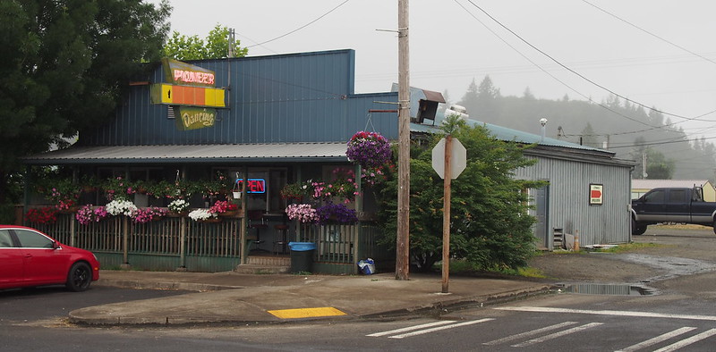
I found coffee at a bar and grill that operated as a breakfast diner in the morning, which was very welcome. I also ate some bacon there, to balance out the carbs.
When I stopped for coffee in Mossyrock, the hostess saw my dirty bottle and said I couldn't drink out of it because I'd get sick.
— 竹下憲二 (@takeshita_kenji) July 3, 2016
It was only surface dirt on the outside, though.
— 竹下憲二 (@takeshita_kenji) July 3, 2016
I took a side street to get out of town, as that was my original plan. Along it, I saw lots of signs for a blueberry festival and blueberry farms.
Apparently blueberries are a huge thing in Morton.
— 竹下憲二 (@takeshita_kenji) July 4, 2016
It was up and down for a while after that, including passing over Mayfair Lake.
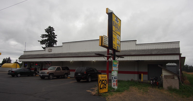
The terrain flattened out as I got to Ethel, where I stopped to eat and pick up a Gatorade.
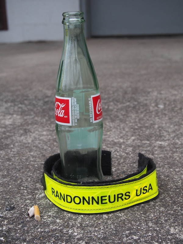
Found these #RUSA ankle straps at Eagle Express. pic.twitter.com/cWvXdfspFd
— 竹下憲二 (@takeshita_kenji) July 3, 2016
Saddle position is the best so far.
— 竹下憲二 (@takeshita_kenji) July 3, 2016
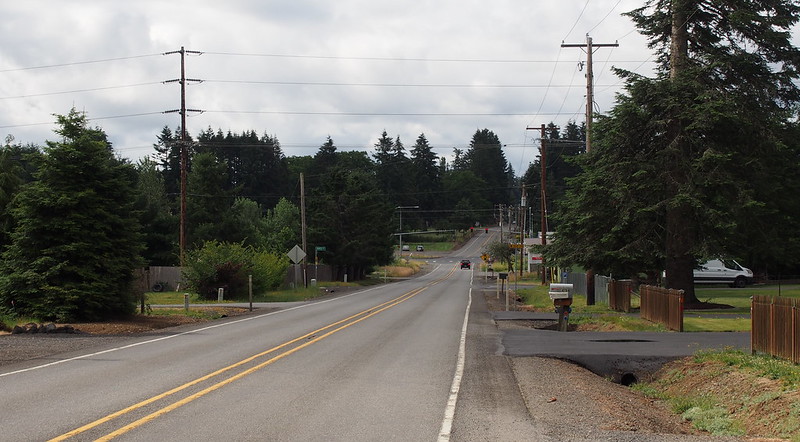
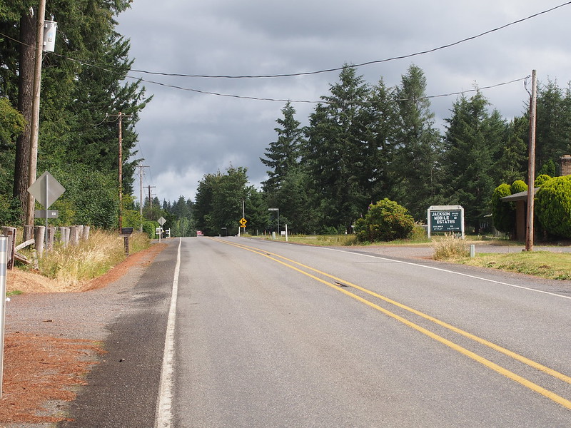
After one last climb, I found the turnoff for the Jackson Highway, where I started heading in a more northbound direction.
At Matilda Jackson State Park, I chatted with a state park worker who showed up just after I used the restroom. The one thing of note is that neither of us were able to recall where Thurston County's eastern edge was.
After going along the highway for a bit, it eventually dipped into the Newaukum River valley, which I remember from my previous STP rides. The long climb the STP takes out of the valley was almost directly west of where I was, on the road to Napavine. While the route the STP takes stays on the southern half of the valley, the Jackson Highway stays on the northern side after going through the center.
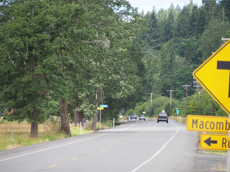
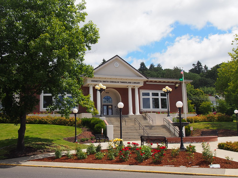
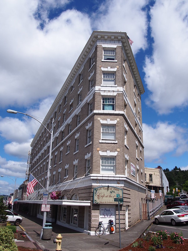
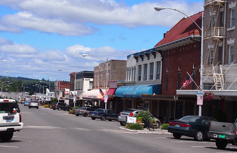
The highway ended at Chehalis, where I kept an eye out for a real coffee place without luck.
As I headed north toward Centralia, I started seeing the route that the STP used to take between the new cities before it switched to the new one that skirts the airport.
Starting to see #BikeSTP sights.
— 竹下憲二 (@takeshita_kenji) July 3, 2016
It was pretty benign up until the overpass over BNSF. In the past, the police would close a lane of the southbound portion of the viaduct for cyclists during the event, but I didn't have the luxury. Furthermore, both directions are normally closed to cyclists. Thus, I took side streets to get to the other side of them.
Now I understand the police presence on the overpass here for #BikeSTP: bicycles are prohibited on it normally.
— 竹下憲二 (@takeshita_kenji) July 3, 2016
The new route goes via a trail that skirts around town, obviating the overpass.
— 竹下憲二 (@takeshita_kenji) July 3, 2016
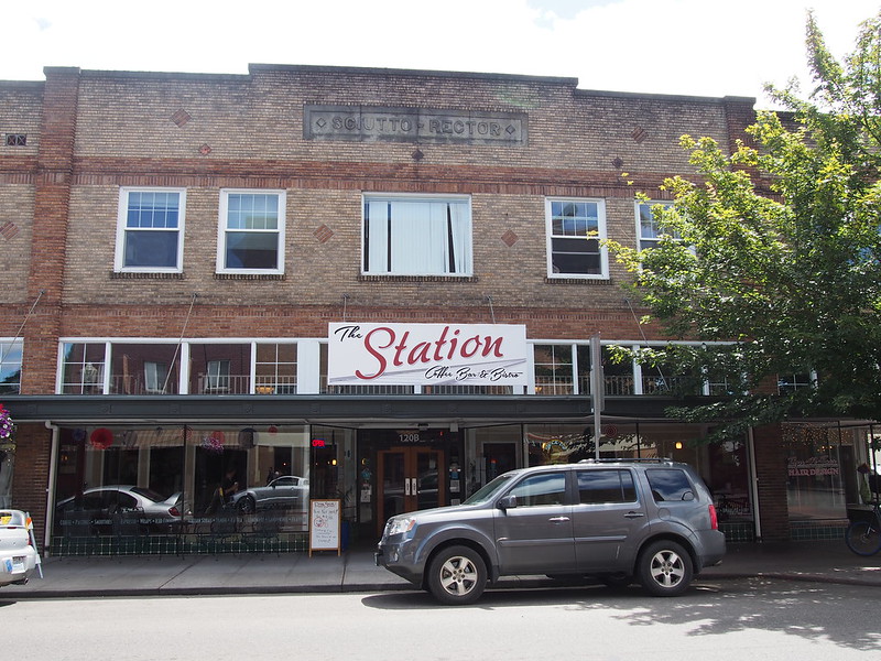
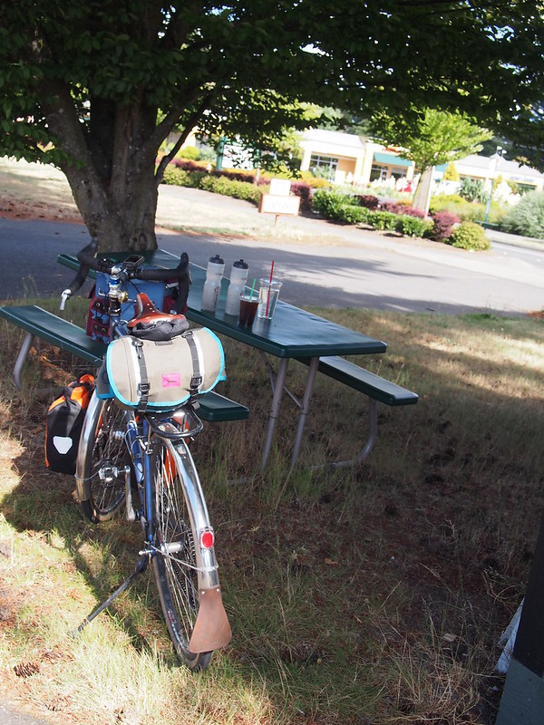
Once in Centralia, I found coffee.
I'm at The Station Coffee Bar in Centralia, WA https://t.co/ZBEpKBAuvu
— 竹下憲二 (@takeshita_kenji) July 3, 2016
The folks at the shop were pretty cool.
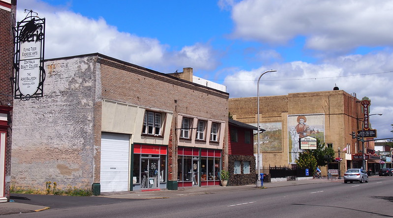
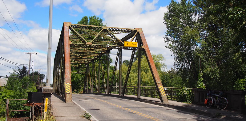
Passing north through Centralia, I rode through the bridge I remember as being the 'gateway' to the city on the STP route.
Unwinding the #BikeSTP route, mostly.
— 竹下憲二 (@takeshita_kenji) July 3, 2016
And then I followed the STP route in reverse all the way to Tenino.
Need to counteract the diuretic effect of caffeine with fluids AND electrolytes.
— 竹下憲二 (@takeshita_kenji) July 3, 2016
Just saw a couple of guys headed south on loaded bikes.
— 竹下憲二 (@takeshita_kenji) July 3, 2016
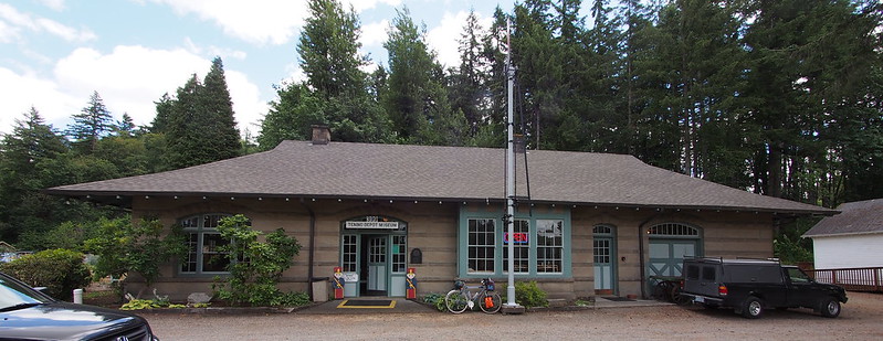
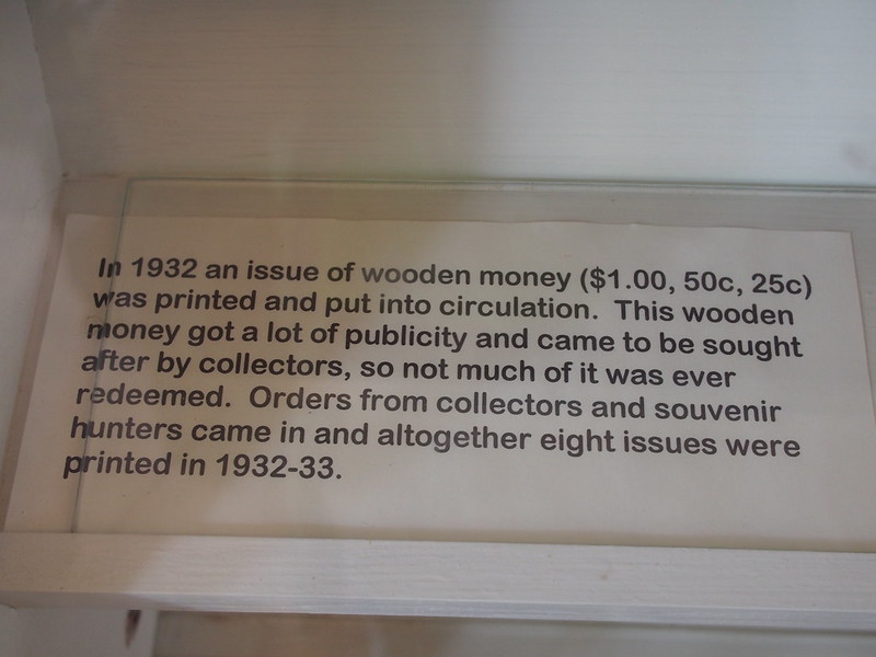
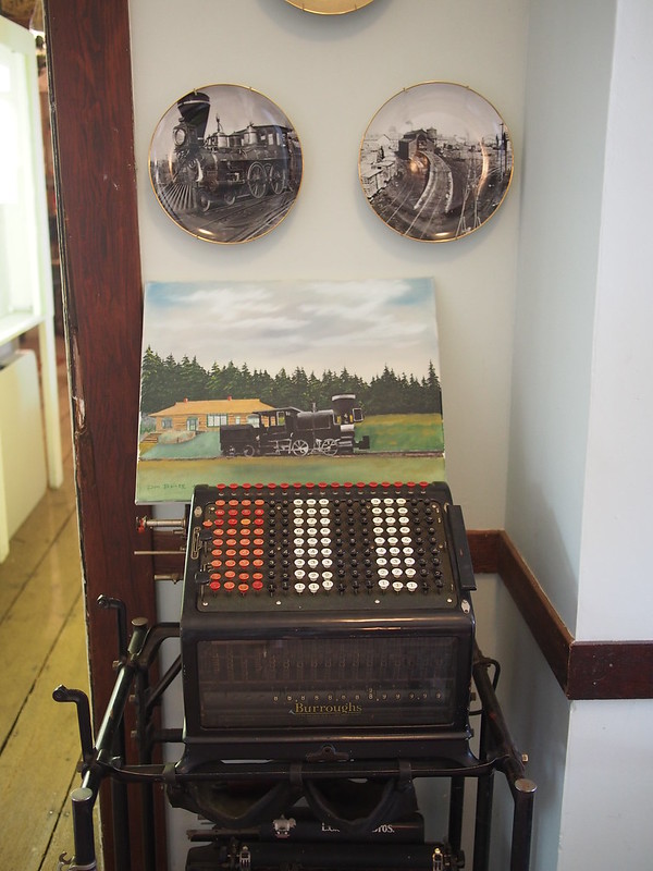
When I got to the southern end of the Yelm–Tenino Trail, I checked out the museum located there.
I'm at Tenino City Park in Tenino, WA https://t.co/QE4qVTdqNs
— 竹下憲二 (@takeshita_kenji) July 3, 2016
The curator commented on how cyclists rarely stop there. He guessed it was because they were more focused on their riding and didn't want to stop.
I followed the trail until I got to Rainier.
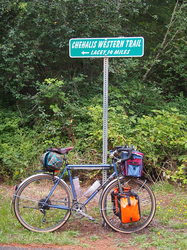
Then went up a short, steep climb and took what was basically a cutoff for the Chehalis Western Trail, which went right through Joint base Lewis-McChord land.
No longer on the #BikeSTP route.
— 竹下憲二 (@takeshita_kenji) July 3, 2016
I don't remember why I decided to take the hillier road instead of the Chehalis Western Trail, but I feel like it was the right choice.
— 竹下憲二 (@takeshita_kenji) July 4, 2016
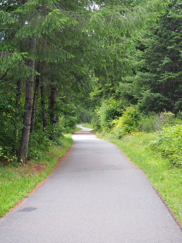
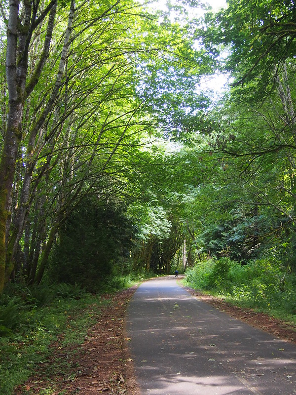
As I got closer to Lacey, my route took me back onto the trail via a short gravel climb. Why would they leave this rocky, rooty gravel section of only a few hundred feet in length on a trail that's largely paved?
I followed the paved section all the way to the Woodland Trail, which I then took to one of the many roundabouts. I used the roundabout to enter traffic and ride the southerly wind for a bit before I felt like getting coffee and water.
One last push to Tacoma. (@ The Coffee Bean in Lacey, WA) https://t.co/mcw9ksVEBd pic.twitter.com/sEfK3l9QLS
— 竹下憲二 (@takeshita_kenji) July 3, 2016
From there, I continued to largely ride the wind down into the Nisqually Valley, up to the edge of JBLM, then enter the shoulder of I-5. As I was using Compass tires, I kept a close eye on the pavement the whole time to avoid nails and other debris that falls off of cars and trucks.
Once off I-5, I took old US 99 through Lakewood and Tacoma, then finally stopped at Tacoma Dome Station, from which I'd be taking the bus north to Seattle.
I'm at Tacoma Dome - Transit Center in Tacoma, WA https://t.co/6Vx7R8Hg7W
— 竹下憲二 (@takeshita_kenji) July 4, 2016
Unfortunately, a couple of guys with bikes were already there and I'd have to wait for the next bus.
I'm stuck here now because two guys who showed up right before me already had bikes. Makes me miss the cold season.
— 竹下憲二 (@takeshita_kenji) July 4, 2016
At least the bus comes every half hour rather than every hour.
— 竹下憲二 (@takeshita_kenji) July 4, 2016
@daihard Taking the 594 from Tacoma to Seattle.
— 竹下憲二 (@takeshita_kenji) July 4, 2016
@daihard I'm pretty tired after all my riding today, so it'd be a nice 'land ferry' break.
— 竹下憲二 (@takeshita_kenji) July 4, 2016
@Charles_B_STB Reminds me of unprotected bike lanes in the US.
— 竹下憲二 (@takeshita_kenji) July 4, 2016
@Charles_B_STB Depends on where you go in the US.
— 竹下憲二 (@takeshita_kenji) July 4, 2016
@Charles_B_STB I'm not kidding.
— 竹下憲二 (@takeshita_kenji) July 4, 2016
@Charles_B_STB There are some here and there ridiculously narrow. I just used one in Lakewood, for example.
— 竹下憲二 (@takeshita_kenji) July 4, 2016
@Charles_B_STB@daihardhttps://t.co/QcfZy31O5A
— 竹下憲二 (@takeshita_kenji) July 4, 2016
When the bus did eventually come, the first 'arm' of the bike rack pulled out of its slot when I extended it. The second arm wasn't able to clear the bike's lowrider rack's cross bar. A passenger came up with the idea of lifting the rear wheel really high, enough that the cross bar would be low enough. It worked perfectly, even though it turned bike mounting and unmounting into a two-person job (the driver and I did it). Thankfully, the driver was really chill and the passengers didn't seem to mind too much.
Had a bit of a situation: the bike rack on this bus wouldn't fit a 700C×38mm tire.
— 竹下憲二 (@takeshita_kenji) July 4, 2016
The driver had to tip my bike up really high before the arm would clear my bike's rack enough.
— 竹下憲二 (@takeshita_kenji) July 4, 2016
To me, the bicycle is both a tool for exercise AND a tool for exploration. I like finding new things when out on my rides.
— 竹下憲二 (@takeshita_kenji) July 4, 2016
That's also why I don't really ride around Seattle recreationally anymore. I see too much of it every day.
— 竹下憲二 (@takeshita_kenji) July 4, 2016
@Cyclify@daihard I guess I take that for granted, as I don't have a car and get around by bike.
— 竹下憲二 (@takeshita_kenji) July 4, 2016
Part 2: Return Home
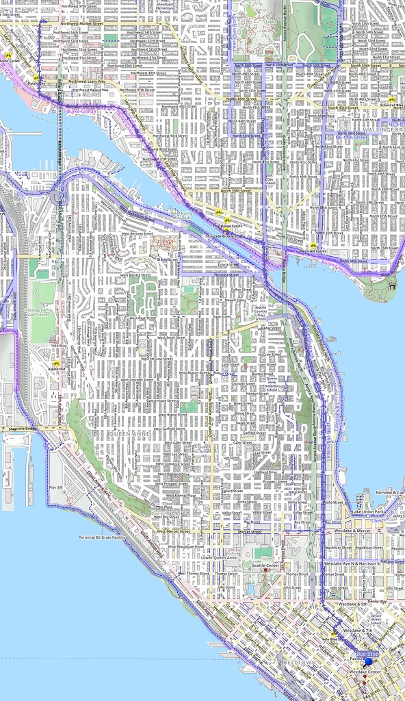
I got off the bus at the one of the northernmost stops downtown, as I didn't feel the need to ride my bike through much of it. I took my usually route home, though it wasn't entirely uneventful.
Some guy shot off a firecracker right in front of me when I was riding down Dexter. #SEABikes
— 竹下憲二 (@takeshita_kenji) July 4, 2016
The guy was on the sidewalk and shot it directly into the general traffic lane where I was going down the hill at 25 MPH. Not my favorite thing, but I was pretty wasted from the long day so I only flinched a little.
Compass's Barlow Pass tires are pretty awesome. They don't get squidgy, yet are fast at even lower pressures.
— 竹下憲二 (@takeshita_kenji) July 4, 2016
I didn't see any spots where the sealant was getting out along the tread, so it looks like the tires themselves were hardy enough! I couldn't say the same about the Rat Trap Pass tires, though the latter were on a bike carrying a lot more luggage.
Hoo boy. Definitely won't be doing another S24O adventure next weekend!
— 竹下憲二 (@takeshita_kenji) July 4, 2016






No comments:
Post a Comment