Saturday reminded me of what I don't like about long-distance riding, but Sunday reminded me of what I love about it.
Related albums:
More after the break…
I tried to avoid caffeine at the start of this ride, but the weather was awful so that didn't last.
Day 1
Part 1: To Ferry
Not wanting to be out too late, I started this ride at 04:00. I was fairly sure that I would get to Fauntleroy late enough to not be 'stuck' there waiting for the first ferry. I was worried about the weather, though, as it was already raining a little.
The thing I hate most about this kind of wind is how I can't hear myself think.
— 竹下憲二 (@takeshita_kenji) May 28, 2016
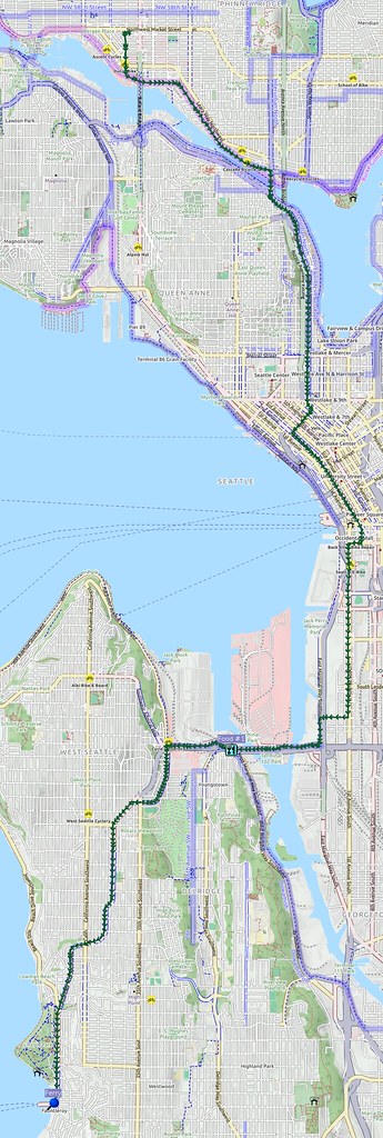
I made my way south through downtown Seattle and SoDo, then crossed the Duwamish River on the West Seattle Bridge. The climb over the West Seattle peninsula wasn't easy, as my knees still hadn't adjusted to the new fi.
Even with 30/46 rings, this double crank is proving inadequate. I wouldn't normally be riding this bike with this much load, though.
— 竹下憲二 (@takeshita_kenji) May 28, 2016
I didn't have to wait long for the ferry, but I did go inside the terminal to wait as I was already cold.
I'm at Fauntleroy Ferry Terminal in Seattle, WA https://t.co/2iFBKtBQdR
— 竹下憲二 (@takeshita_kenji) May 28, 2016
The galley on the ferry wasn't open for the first half of the voyage, but did open once past Vashon Island. I quickly downed a half cup of coffee to warm me up and harden my resolve.
One of the crew members of the ferry took interest in my trip, and told me about one road that goes out to the settlement of Matlock. He asked if I had a paper map that he could show me on, but I didn't. He asked if I had maps downloaded (there's no signal out there for anyone) as he was concerned for my safety, which I did have.
Part 2: Outbound
Climbing up from Southworth started off fairly easy, but fairly quickly became very difficult. My knees didn't hurt or anything despite their lack of conditioning with this fit, nor did I feel particularly out of breath, but I was slower than usual. I faced high-speed shimmy on descents, and had to hold my bike's top tube with my knees to prevent it.
(1) Wishing for a 28/44 double or a triple. (2) I should've trained more before tackling Kitsap.
High-speed shimmy makes me sad. Good thing I know a workaround.
This weather is utter shit.
I was glad when I finally got to SR-3, as I would finally get some relief from the southerly wind.
I'm at City of Belfair in Belfair, WA https://t.co/hDTLqZhTeE
— 竹下憲二 (@takeshita_kenji) May 28, 2016
This weather is shit, and it looks like it's only going to get worse.
— 竹下憲二 (@takeshita_kenji) May 28, 2016
I had to stop in Belfair to talk to the motel at which I had placed my overnight reservation, as I had forgotten to confirm the previous day. With that resolved, I didn't have any worries beyond the ride itself.
I passed through Allyn-Grapeview without much happening beyond worsening rain spraying my face, and then made my way through the "working forest" to Shelton. When I got to lower Shelton, I saw that my route took me up a very steep and busy road. With my legs still complaining about being pushed adjusting to their new fit on such a tough ride, I decided that going that way was a bad idea, so I instead took the less steep route I knew. Once at the top of the hill, I started searching for coffee, as I was feeling my resolve wane.
I'm at Bigfoot Java in Shelton, WA https://t.co/CCMI7zAajc
— 竹下憲二 (@takeshita_kenji) May 28, 2016
Doppler radar shows the dissipation of the storm system out here. The rain is also lesser where I am.
— 竹下憲二 (@takeshita_kenji) May 28, 2016
Once done with the coffee, I made my way back to my planned route, then got onto US 101. I recognized where I got a puncture on on my last ride to Aberdeen, but nothing happened this time. My route had me hang a left onto SR-102, which I took past the penitentiary.
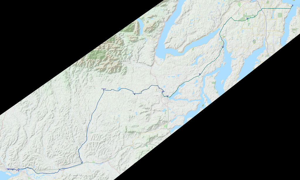
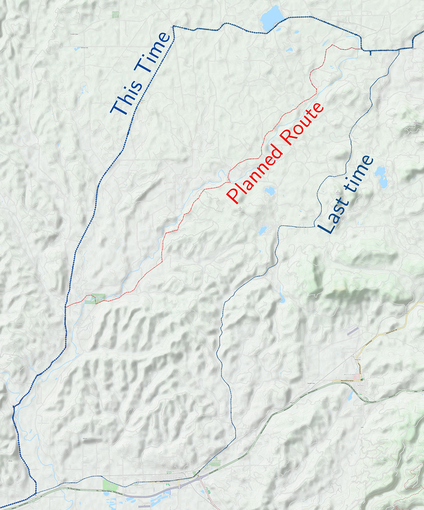
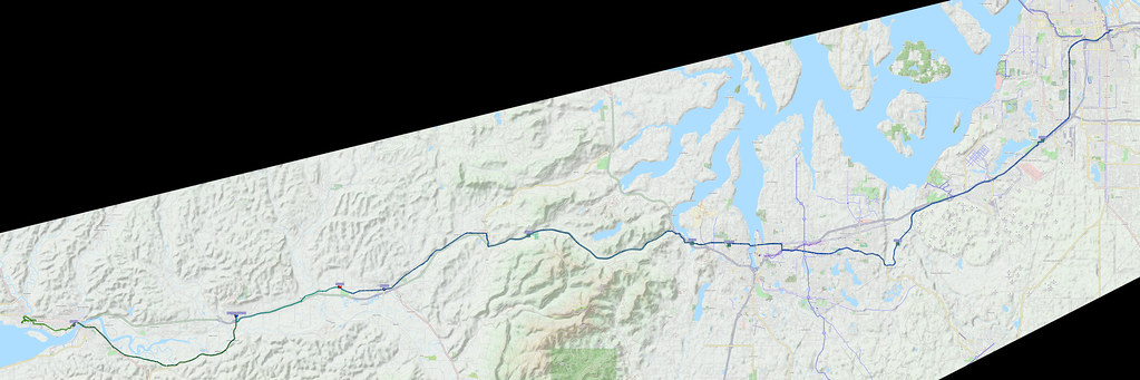
I then hung a right onto Shelton–Matlock Road. At this point, I felt like I was facing headwinds and rain spray no matter which way I rode, which was disheartening. Even more disheartening was when I found out that my planned route (red line) this time would've had me go on gravel logging roads through Simpson Investment Company property. As I was already discouraged, I tossed out that idea and continued along the road, remembering what I heard from a ferry crew member about a road to Matlock.
My track from last time is shown on the above map in a thinner line than the track from this time, and showed a route that got closer to Lost Lake. I probably should've consulted my last ride, considering how many backroads there are out here, but I wasn't thinking.
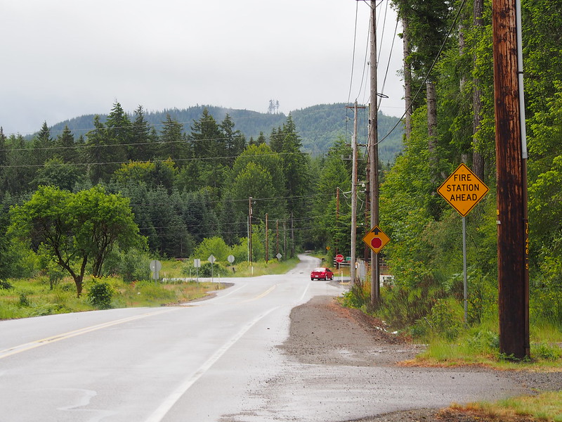
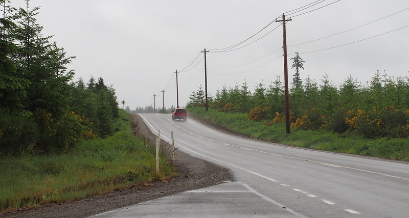
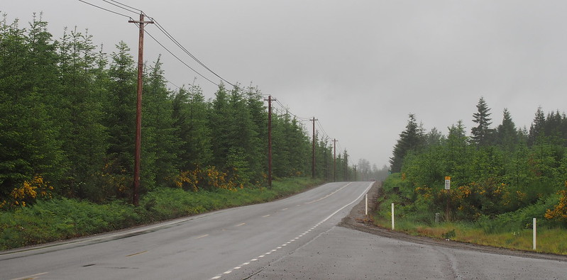
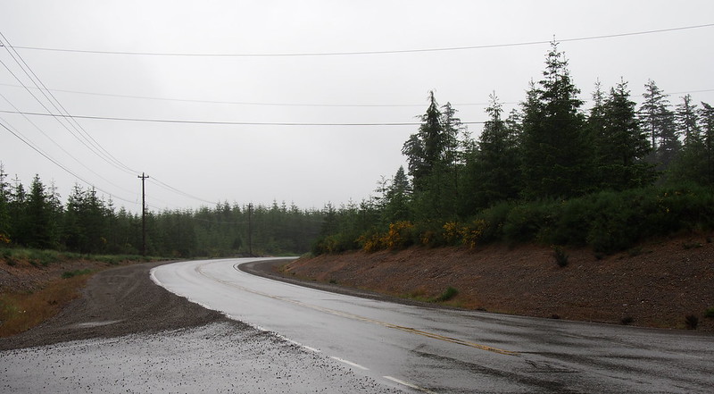
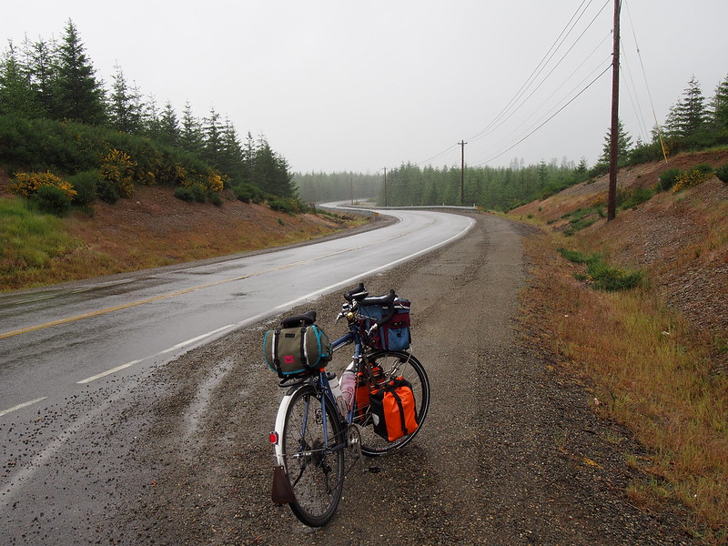
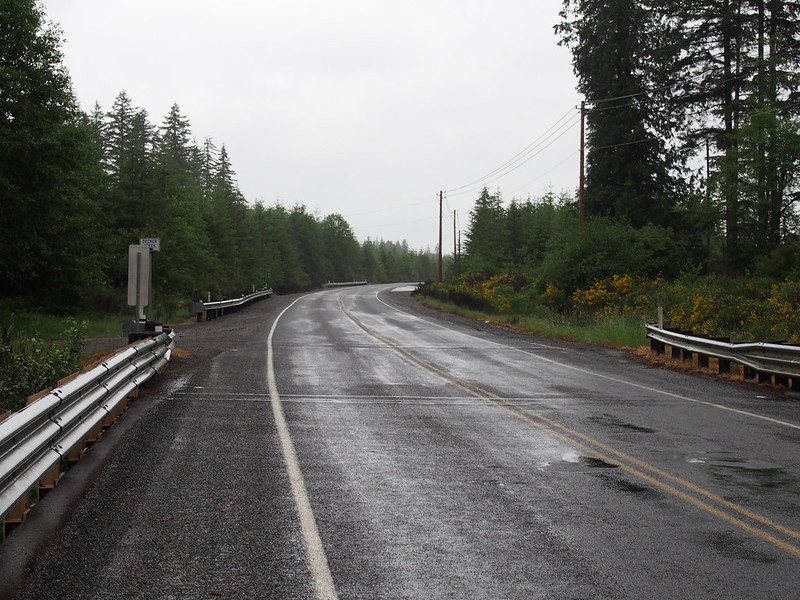
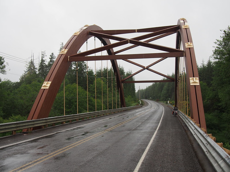
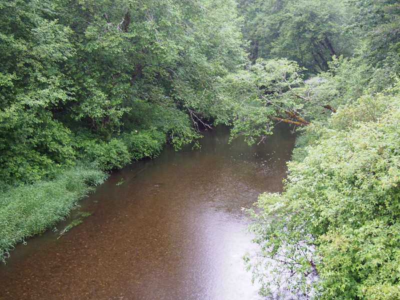
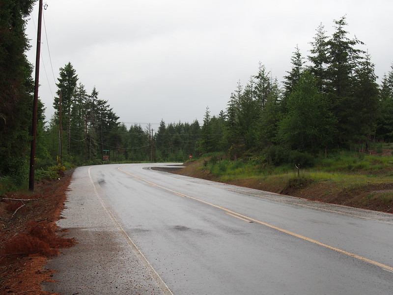
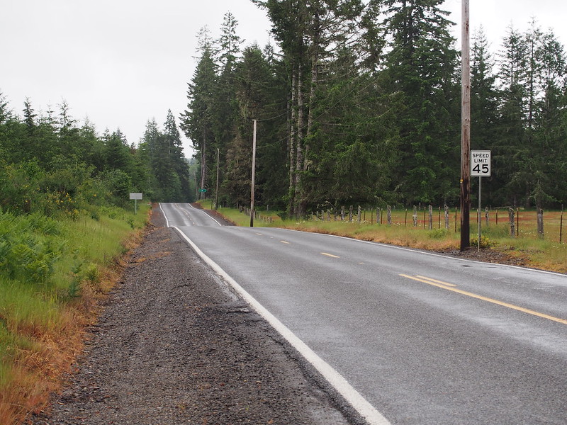
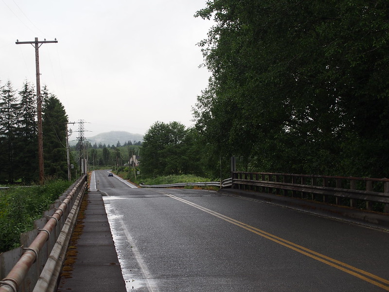
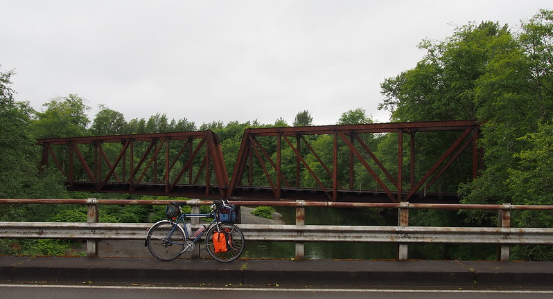
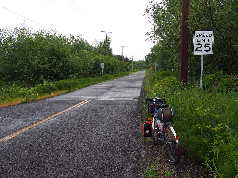
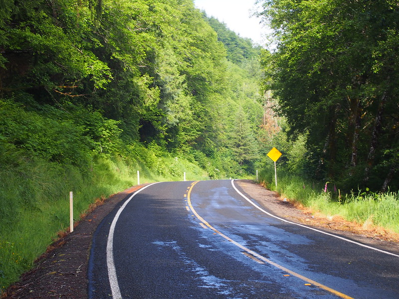
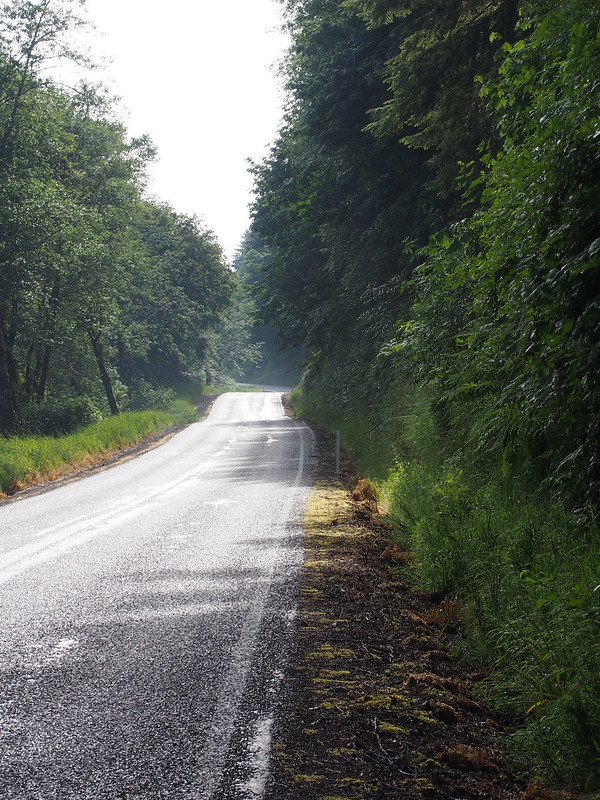
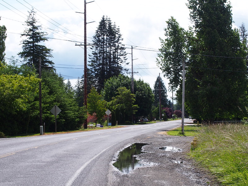
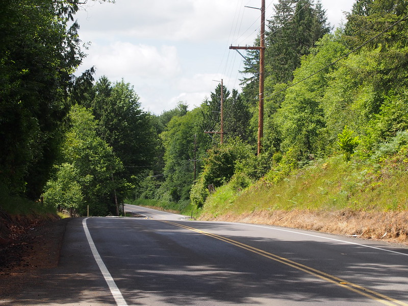
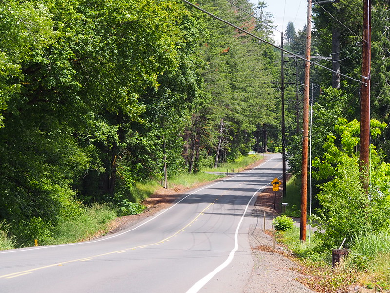
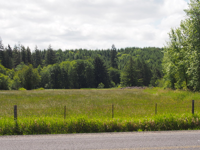
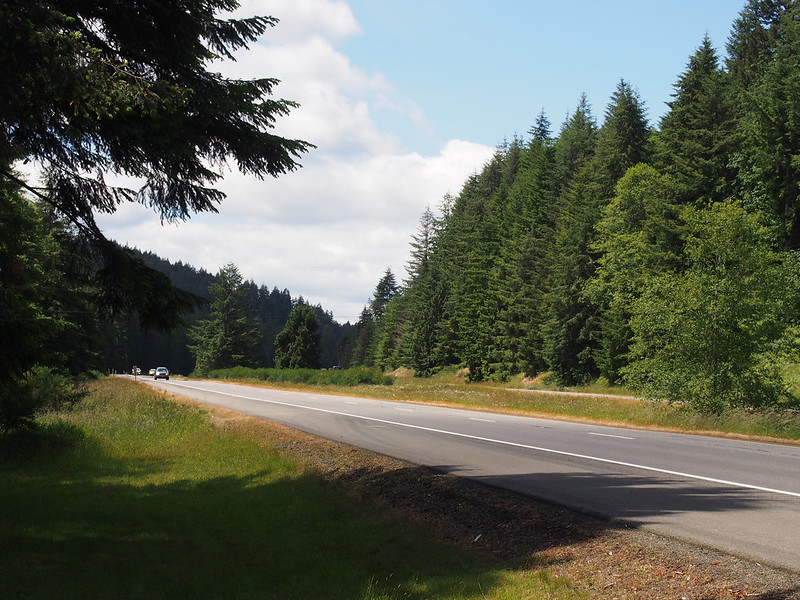
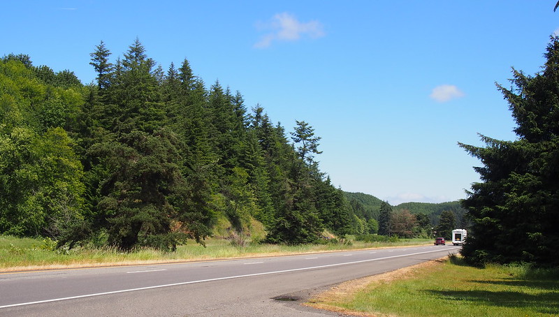
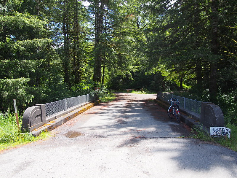
Pretty much the whole ride between SR-102 and Grays Harbor County can be summed up in the photos below. It was that monotonous.
Nothin' but trees and roads.
— 竹下憲二 (@takeshita_kenji) May 28, 2016
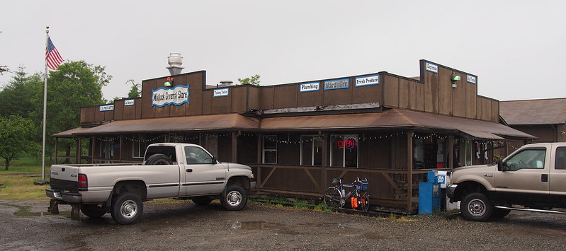
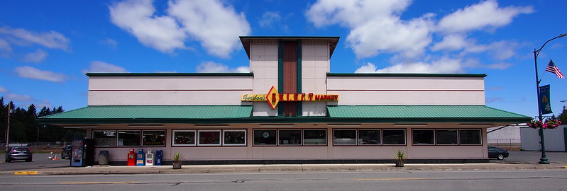
Beaten by the rain, I was overjoyed when I saw the Matlock general store. I stopped there for more coffee and some fried chicken, as well as some nice conversation. It ended up being well worth it having this rest stop, rather than taking the shorter route directly to Elma.
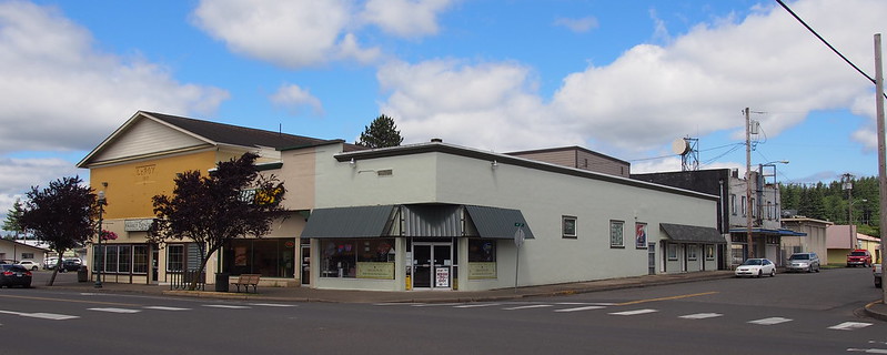
Matlock is a nice little settlement. One of the smallest I've ever visited.
— 竹下憲二 (@takeshita_kenji) May 30, 2016
Heading south out of Matlock, I finally felt like I had the wind at my back much of the way! The rain was pretty bad, though.
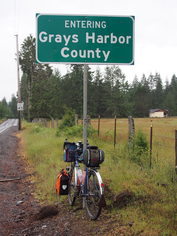
I eventually found something that wasn't a "working forest" when I hit the county line.
The hills started getting a bit worse as the road undulated around the hills beside the fork of the Satsop River, but it wasn't much further to my original route at that point.
Type 2 fun = having to way find in seemingly endless forest because your directions were junk…in a near-constant downpour.
— 竹下憲二 (@takeshita_kenji) May 28, 2016
After stopping in Brady, focused for the rest of the ride through Montesano and Central Park to Aberdeen.
Central Park Drive is interesting, as much of the pavement is rather old concrete sections like the roads back in Seattle. My guess is that it's the original US 410 through the area, but I'm not really sure on that.
The only remaining hills of any significance were on US 12, which I hit just a few miles east of Aberdeen.
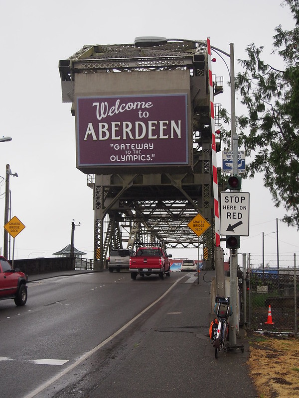
From there, I stuck to the highway for a bit, then took Aberdeen's city streets for a while…until I noticed that traffic wasn't too bad. After that, I just stuck to US 101 all the way to East Hoquiam where my accommodations were located.
What a day! (@ East Hoquiam in Hoquiam, WA) https://t.co/xGF5ygpTsb
— 竹下憲二 (@takeshita_kenji) May 29, 2016
Part 3: Hoquiam and Aberdeen
I ate dinner in western Aberdeen at a Chinese restaurant that was run by three family generations. A guy there offered to drive me back to my motel after I'd eaten, but I knew I'd be fine riding back. The waitstaff was also very nice.
I'm at Chinese Village in Aberdeen, WA https://t.co/5H5d91Pl1d
— 竹下憲二 (@takeshita_kenji) May 29, 2016
Before heading back to the motel to sleep, I picked up some breakfast stuff at the local Safeway, which was the only grocery store still open that late.
I sure hope the weather will be better tomorrow (as the forecast says). The sort of suffering I endured today is never the point.
— 竹下憲二 (@takeshita_kenji) May 29, 2016
I definitely needed the sleep when I was done.
Day 2
Part 1: Inbound
There were rather odd sounds coming from the unit adjacent to mine all night. They were still human voices.
— 竹下憲二 (@takeshita_kenji) May 29, 2016
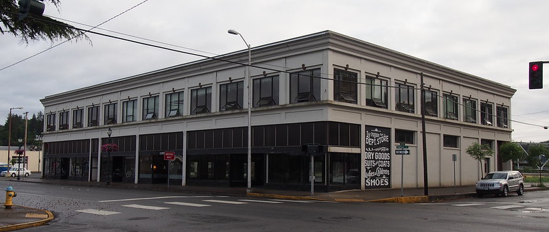
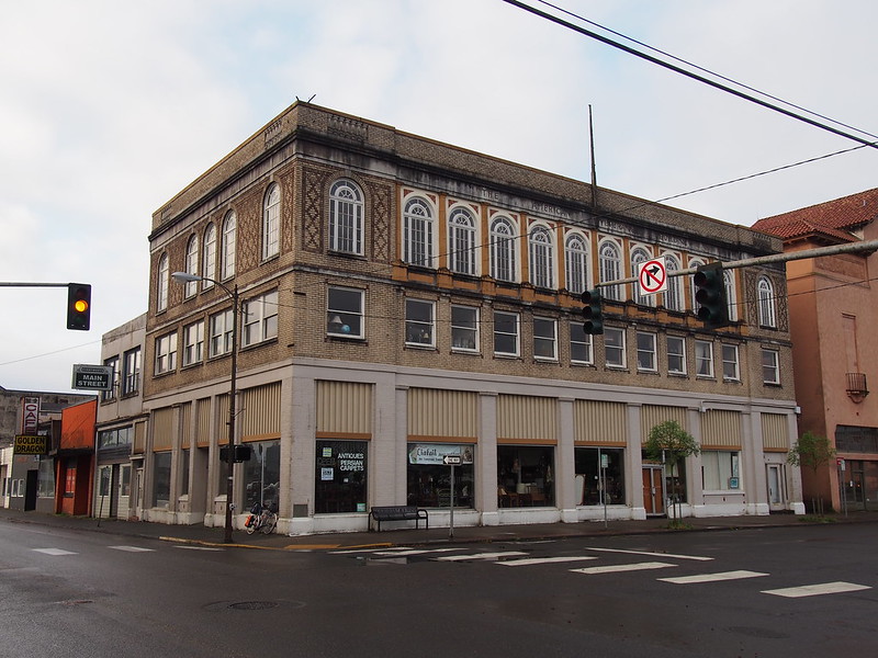
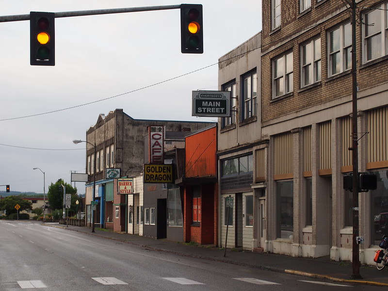
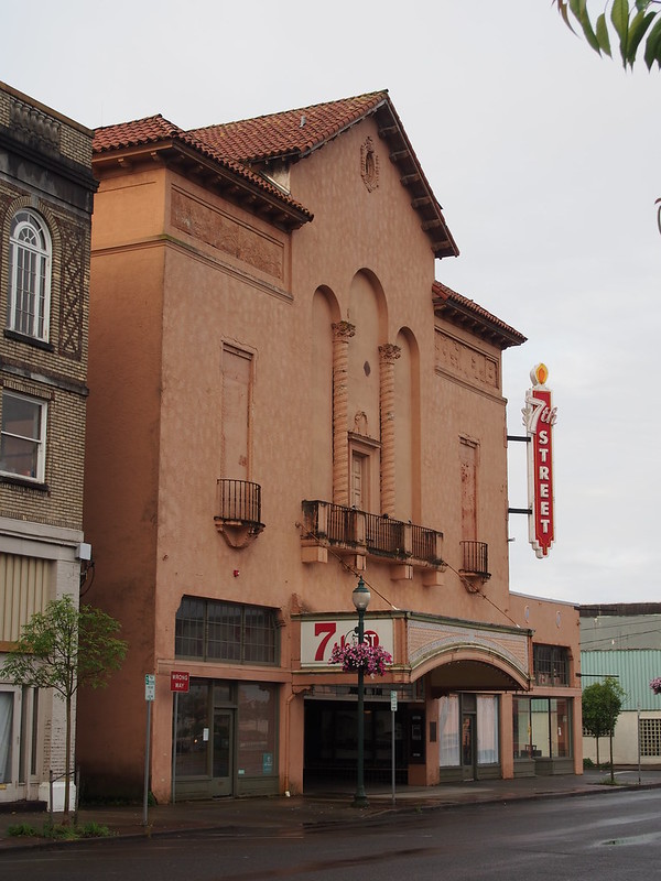
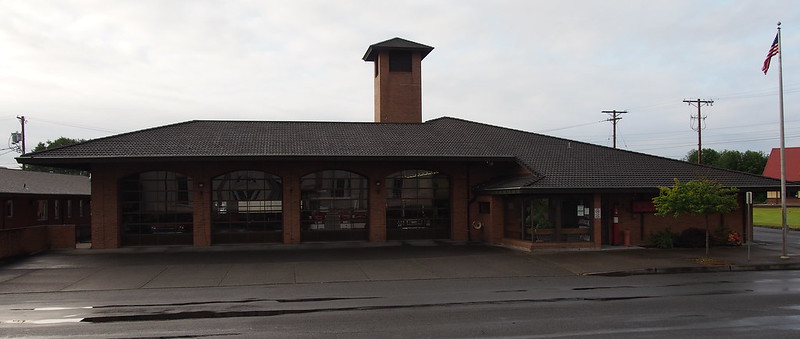
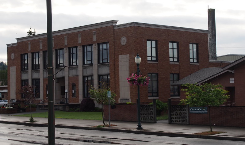
I started my return trip by taking photos around Hoquiam, as I hadn't had the time to do it on the way out there.
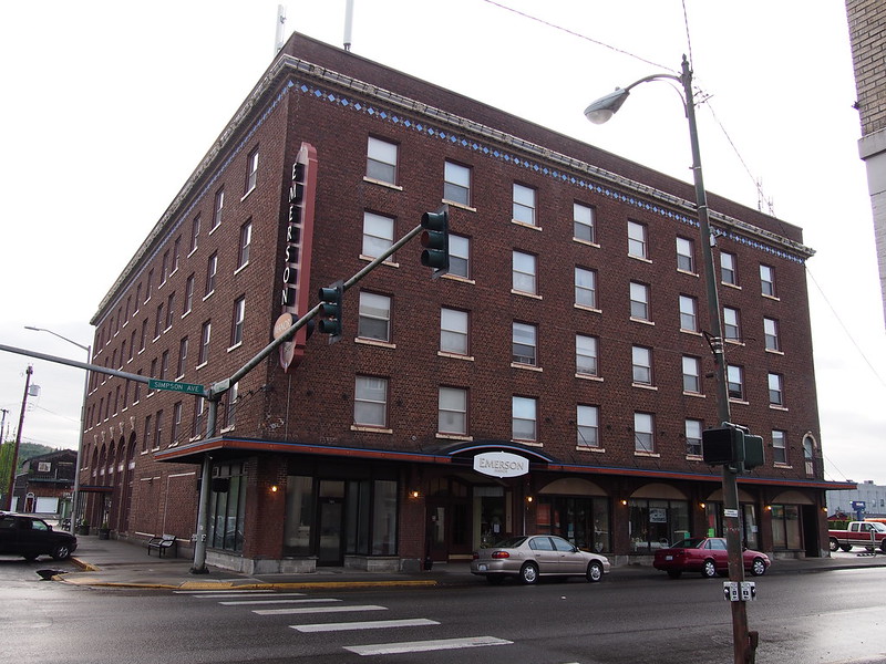
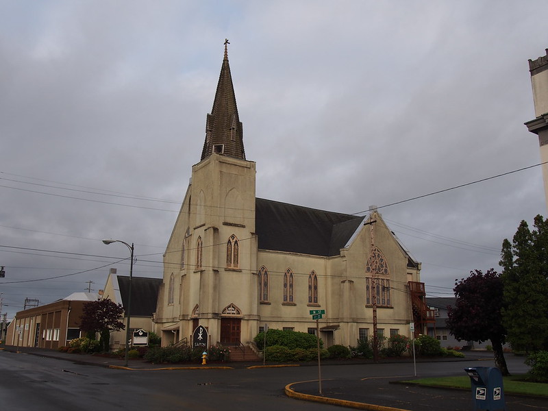
When I was planning my trip out to Hoquiam, my mother told me that her grandfather had worked out at a hotel in Hoquiam a long time ago. My guess is that it was the Emerson Manor (now apartments), as it was built in 1921. It's still standing, too!
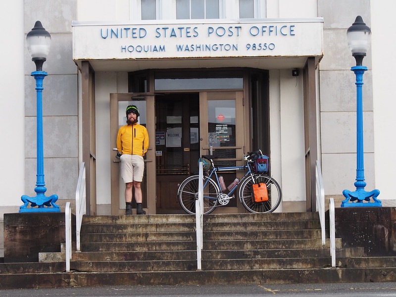
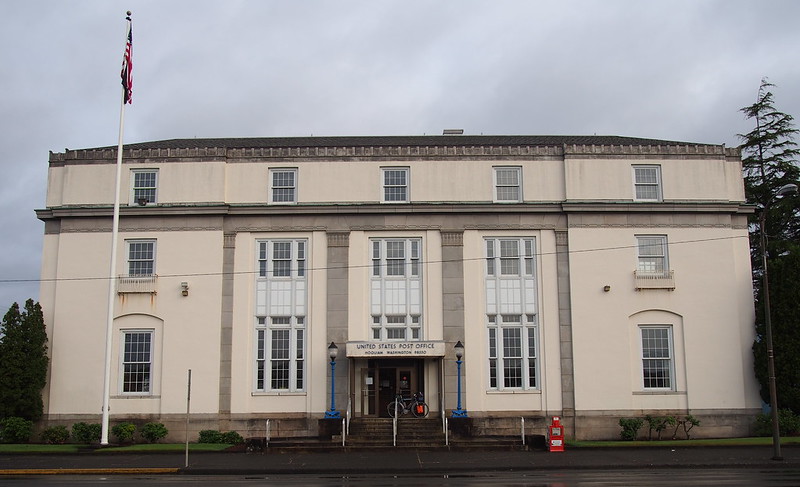
I was trying to find a good photo that "screamed 'Hoquiam'," but didn't find anything in particular, so I just got a photo in front of the post office.
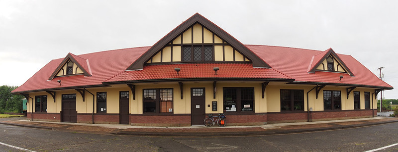
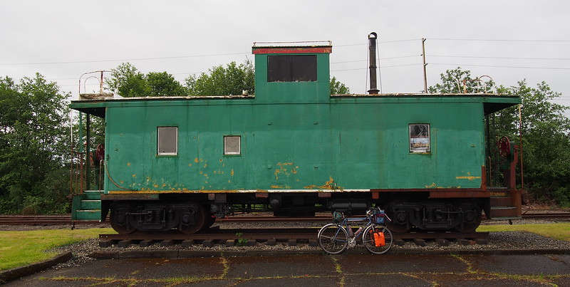
Shortly after, I found the old train station. While I was taking photos, a guy who's lived in Hoquiam told me about how there used to be passenger rail service out here. He also told me about one time when his family took the train out to Seattle from Hoquiam, and it was snowed in. We don't get much snow in Seattle anymore!
There apparently used to be passenger rail service between Hoquiam and Seattle via the rail line that still operates today.
— 竹下憲二 (@takeshita_kenji) May 30, 2016
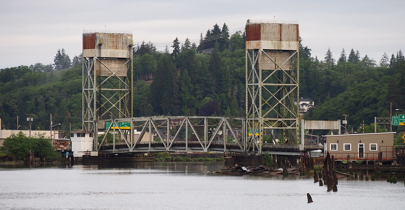
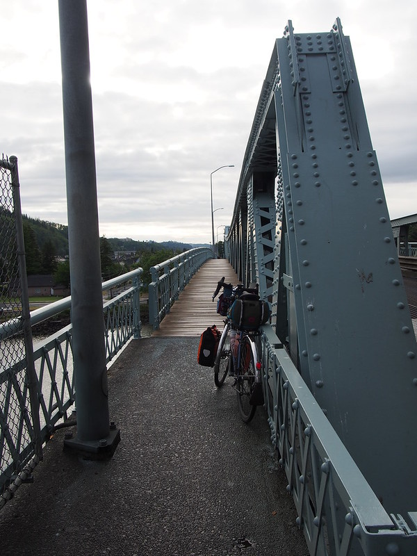
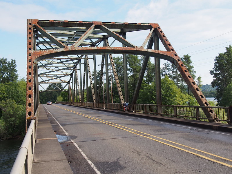
Done in Hoquiam, I made my way back over the Hoquiam River, which entailed using the high bridge I saw earlier. I was worried about it because of traffic, but there was a sidepath that cyclists and pedestrians are supposed to use. Unfortunately, it was made of soaked wood, so I walked across that section to be careful.
Through East Hoquiam and Aberdeen, I took the industrial road that skirted the south of the city, then headed south through Cosmopolis, then east along Blue Slough Road just like last time. Unlike last time, however, I was able to see beyond what my headlight illuminated! I don't even remember seeing Cosmopolis on my last ride.
I'm kind of glad to be seeing this side of the state in daytime, though. It was dark in the morning on my last trip.
— 竹下憲二 (@takeshita_kenji) May 29, 2016
When I got to SR-107, I headed back north across the Chehalis River to Montesano.
Once in Montesano, I stopped for coffee, water, and a huge pancake.
I'm at Bee Hive Restaurant in Montesano, WA https://t.co/G3aLUKmgJD
— 竹下憲二 (@takeshita_kenji) May 29, 2016
The restaurant was really busy, so I was there for a while. The rest and coffee definitely helped my spirits, though!
Got into coffee again on this ride because of how awful yesterday was.
— 竹下憲二 (@takeshita_kenji) May 29, 2016
Having a pretty hard time. Today's going to be a long one. Shouldn't have attempted something so difficult with a new fit.
— 竹下憲二 (@takeshita_kenji) May 29, 2016
I forgot about how good #coffee makes me feel, at least in moderation. A little bit spread across the say.
— 竹下憲二 (@takeshita_kenji) May 29, 2016
The center ridge of my saddle is being unkind to my perineum. Hopefully it'll break in with riding.
— 竹下憲二 (@takeshita_kenji) May 29, 2016
I left Montesano via the shoulder of US 12, even though my route had me taking the old highway. My mistake, but it didn't really make much of a difference. The cars did provide nice drafting, though.
I took my leave of US 12 I got to Brady, then took the old highway through Satsop.
Shortly after Satsop, I noticed that my bike's handling was getting pretty weird, then stopped to check my rear tire…which had a staple in it. Pretty much the only thing that gets the Schawlbe Marathon Supreme tires is sharp metal stuff, which is thankfully less common than broken glass.
Got a staple in my tire. Roads really are America's trash can.
— 竹下憲二 (@takeshita_kenji) May 29, 2016
I saw a group of 3-4 bicycle tourists heading the other way, followed by another couple of them apparently from the same group. The latter half stopped to ask if I was okay and chatted for a couple minutes before continuing on their way.
Saw a number of other cyclists when I was in the Chehalis River valley, including a group of tourists.
— 竹下憲二 (@takeshita_kenji) May 30, 2016
With my puncture fixed, I continued on my way through Elma.
After Elma, the road became very sparsely populated, and it really seemed like this must've been the original route of US 410. After all, why else would there be a road like this right next to a freeway through the mountains?
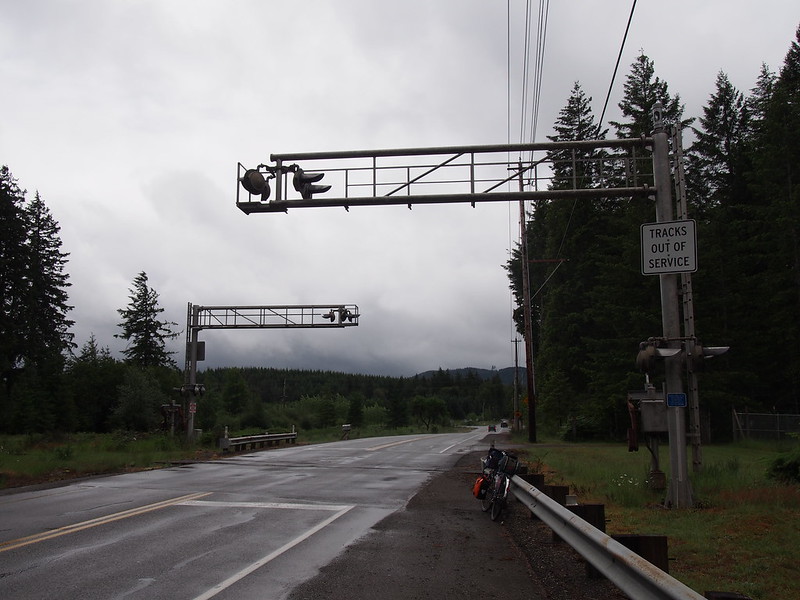
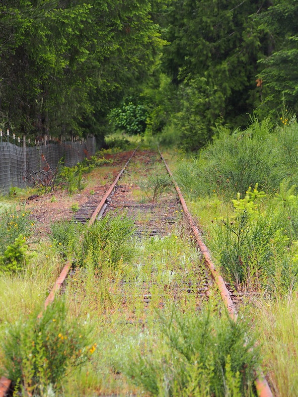
The last actual town I saw was McCleary, before I headed over a big hill to SR-8 (the continuation of the freeway that carried US 12 further west). I could see where the original US 410 was broken by the freeway, as the former had "ROAD CLOSED" signs both on this side and the other side of the mountains.
From there, it was a fairly gradual climb up the mountains for a while.
I stopped to eat a few miles below the summit, and had a nice chat with a guy who lived out there.
I chatted with a guy who lives out near Summit Lake. He has an interesting arrangement with the DNR because of his location.
— 竹下憲二 (@takeshita_kenji) May 30, 2016
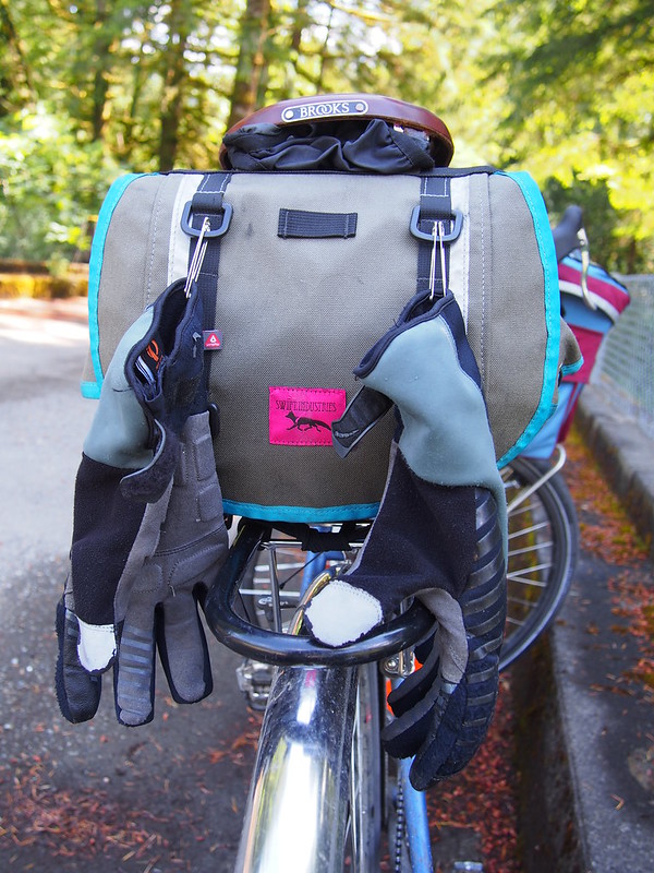
I've had my gloves from yesterday pinned to my saddle bag in hopes of getting them to dry. No luck as of yet.
— 竹下憲二 (@takeshita_kenji) May 29, 2016
After the summit, it was a quick zip down SR-8 until the turn off to old US 410. Something I noticed was how US 410 was originally called the "Olympic Highway", just like US 101. Kind of funny.
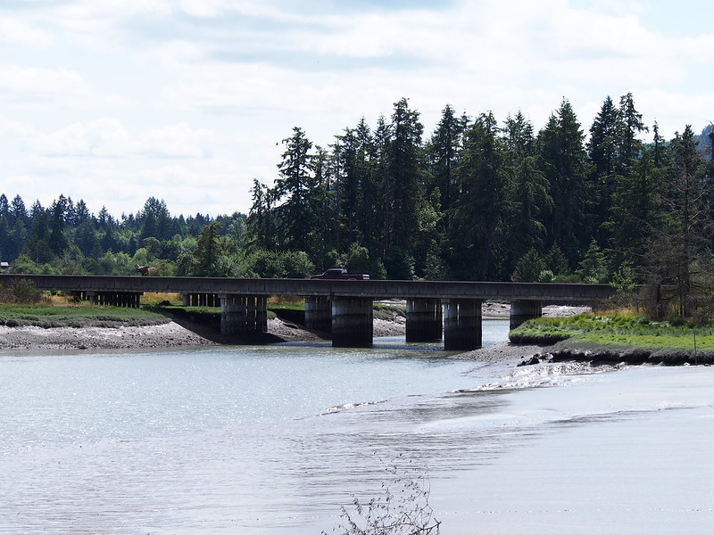
I then rode over Mud Bay before climbing up into Olympia.
I think I figured out my saddle pain: I was bouncing with every pedal stroke. The saddle broke in and lowered its effective height.
— 竹下憲二 (@takeshita_kenji) May 29, 2016
Before going through downtown Olympia, I stopped for a bagel and some iced coffee.
Going to breeze through Olympia and Lacey after this. (at @BagelBrothers in Olympia, WA) https://t.co/bDDoKZxbVu
— 竹下憲二 (@takeshita_kenji) May 29, 2016
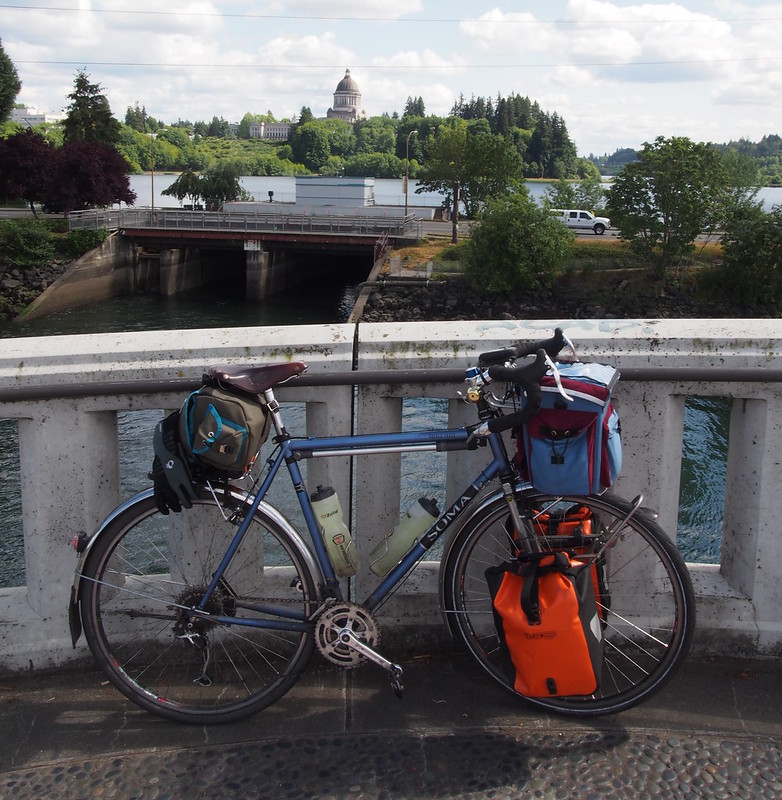
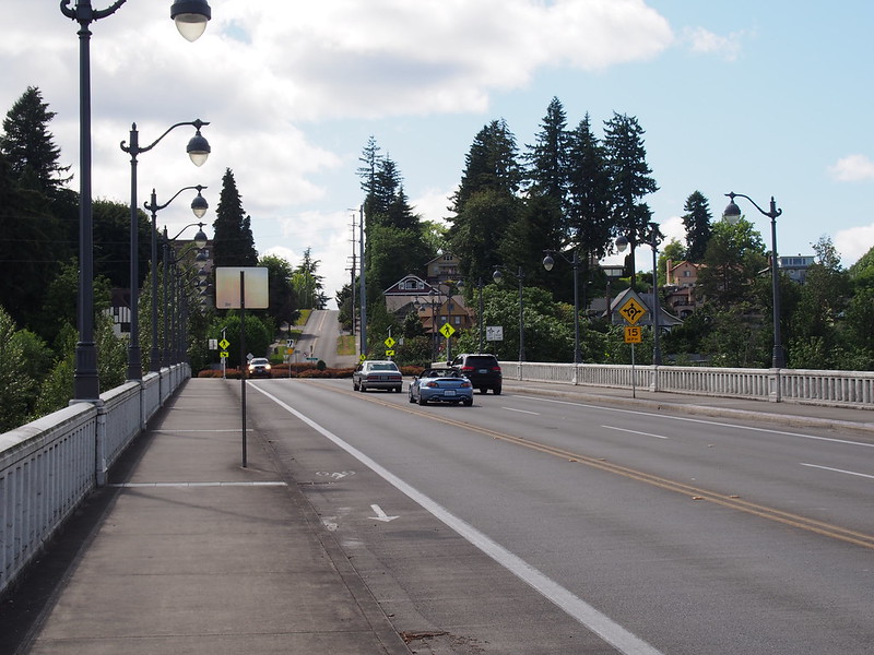
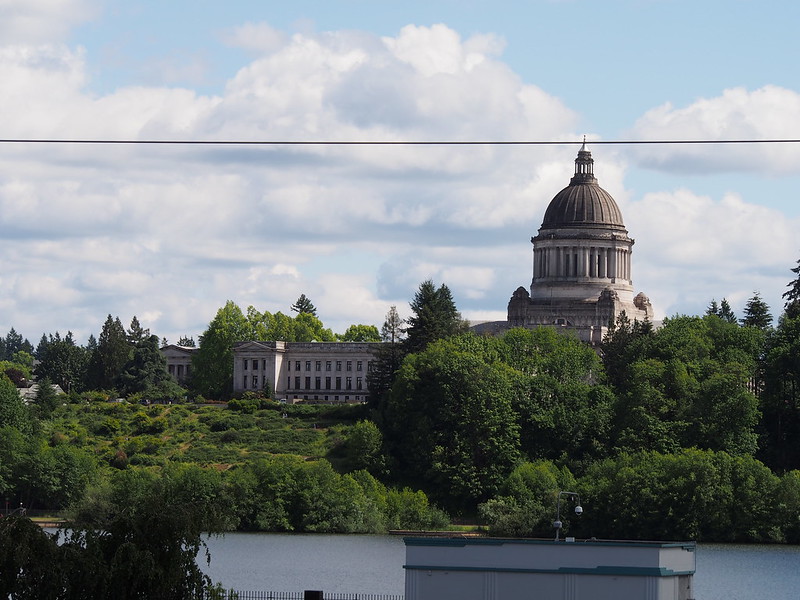
And then I only stopped once more in Olympia for a few photos.
The climb up from downtown Olympia wasn't hard, and I got a reprieve from traffic on the Woodland Trail. However, some drivers making left turns didn't respect the crosswalk signal, which reminded me of how marginalized folks outside of cars are on city streets.
After going down into the Nisqually River Valley, then climbing back up to I-5, I took the shoulder of I-5 all the way to Lakewood.
I-5 sure was busy, but that's never news.
— 竹下憲二 (@takeshita_kenji) May 30, 2016
Traffic in Lakewood/Tacoma was light. Similarly, there weren't many pedestrians on the Fremont BGT.
— 竹下憲二 (@takeshita_kenji) May 30, 2016
I definitely could feel the miles at that point, and had a lot of trouble maintaining 10-12 MPH between Lakewood and Tacoma despite how flat that route is. I resigned myself to taking the bus, as I knew I wouldn't be able to get home in a timely manner any other way.
Barely missed the 594. (@ Tacoma Dome - Transit Center in Tacoma, WA) https://t.co/vHBBwaEeKm
— 竹下憲二 (@takeshita_kenji) May 30, 2016
My legs are done. Nothing really hurts, but they just don't have the strength to go on.
— 竹下憲二 (@takeshita_kenji) May 30, 2016
People generally don't like to think about the reality that we sometimes bite off more than we can chew, but that's life.
— 竹下憲二 (@takeshita_kenji) May 30, 2016
The miles between Tacoma and Seattle were really 'filler miles', anyway. Flat and more flat.
— 竹下憲二 (@takeshita_kenji) May 30, 2016
@SheRidesABike I just had a new bike fit done a few days ago. My legs didn't have their usual strength and endurance this time.
— 竹下憲二 (@takeshita_kenji) May 30, 2016
@SheRidesABike I got soaked and remained soaked as I traversed the Kitsap and Olympic peninsulas. I also got partially lost (bad route).
— 竹下憲二 (@takeshita_kenji) May 30, 2016
Rode a bunch of old US 410 and US 99 today.
— 竹下憲二 (@takeshita_kenji) May 30, 2016
#Cycling gets a lot more interesting when one goes out into the middle of nowhere. This isn't news to me, though! https://t.co/WIYRf3l702
— 竹下憲二 (@takeshita_kenji) May 30, 2016
I took the bus as far north as it would go, as I didn't have the remaining strength to conquer all of downtown.
Part 2: Return Home
While I started out strong downtown, that disappeared after I got over the hill of Dexter Avenue, and I was pretty slow on the Burke-Gilman Trail all the way home. It was still light out, though, which was nice.
Ran out of fast, so I had to make do with slow.
— 竹下憲二 (@takeshita_kenji) May 30, 2016
I got home at about 21:30, then went to bed after showering.
I think the high-speed shimmy I fought yesterday was caused by unnoticed shivering from being soaked and chilled by the weather.
— 竹下憲二 (@takeshita_kenji) May 30, 2016
The color in my face, arms, and legs is returning. #cycling
— 竹下憲二 (@takeshita_kenji) May 30, 2016
The gloves did eventually dry out.
— 竹下憲二 (@takeshita_kenji) May 30, 2016
Saturday reminded me of what I don't like about long-distance riding. Sunday reminded me of what I love about it. #cycling
— 竹下憲二 (@takeshita_kenji) May 30, 2016






No comments:
Post a Comment