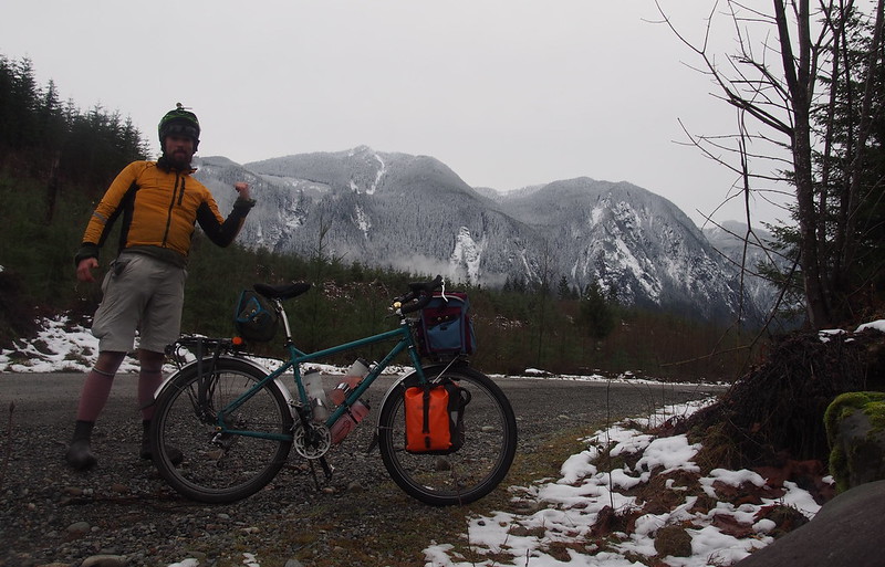
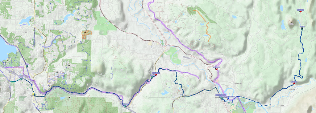
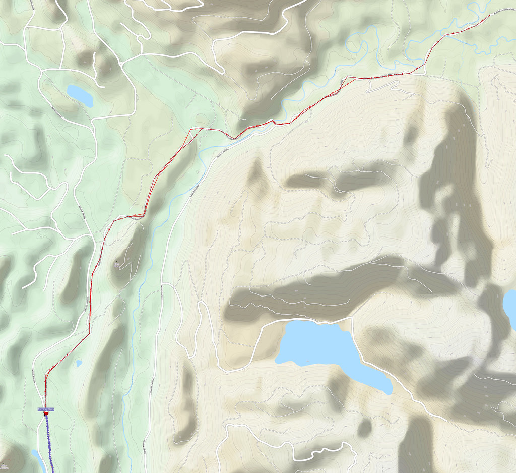
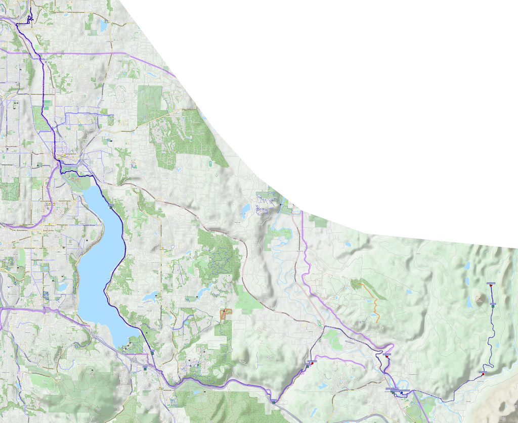
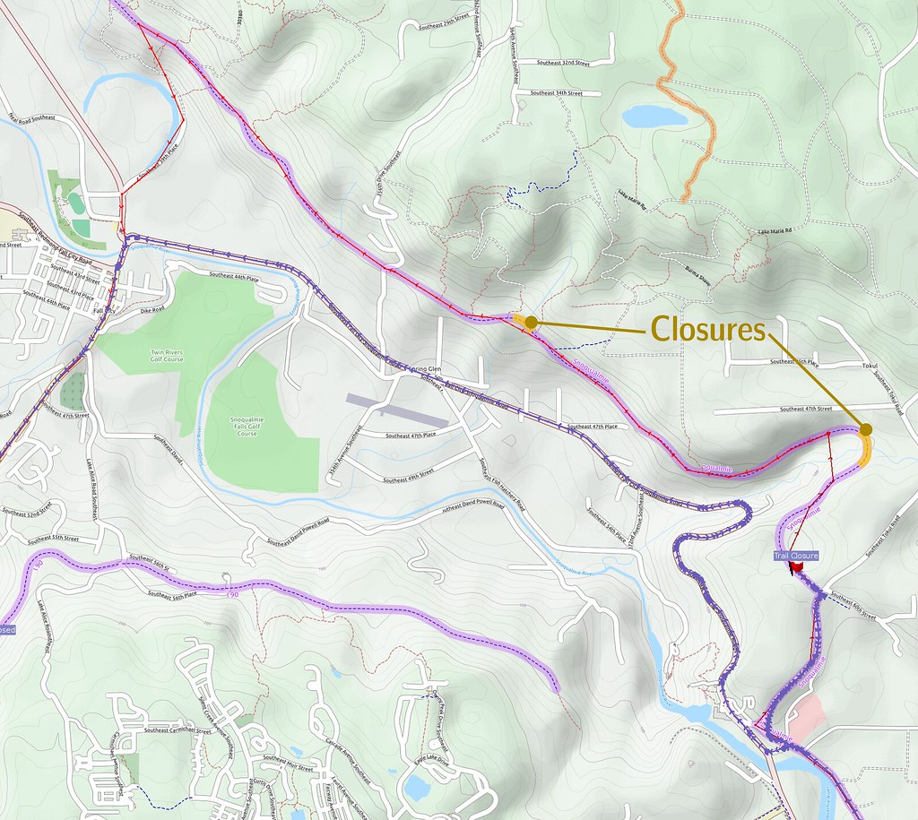
My original plan was to head to the North Fork Snoqualmie campground, but the snow forced me to turn back. I managed to stay warm, but I had to deal with a number of closures and detours on the way home.
Related albums
More after the break…
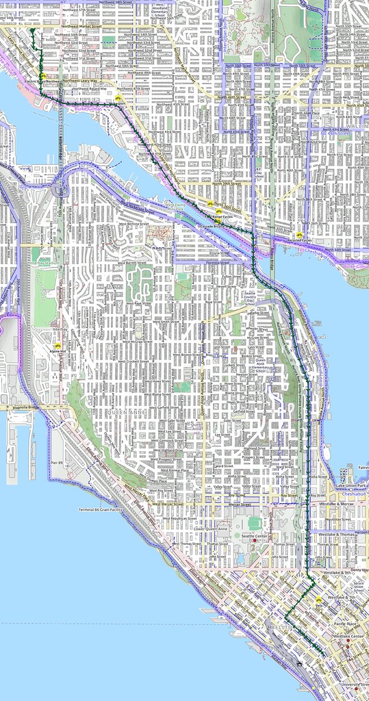
Part 1: To Downtown Seattle
As I was taking the bus to Issaquah, I started a little after 05:30, then headed downtown.
While the East Coast is experiencing an early Spring, it's just business as usual here: mild, mild, and more mild.
— 竹下憲二 (@takeshita_kenji) December 26, 2015
A guy who did trail work on the day of the flooded run last time I was around Issaquah is on the bus. He's doing some XC MTB.
— 竹下憲二 (@takeshita_kenji) December 26, 2015
He talked about the various trails near Grand Ridge, camping on Whidbey Island, and how he did a cross-country bicycle tour in the past. He also said that the Issaquah–Preston Trail tends to get muddy because the abandoned coal mines on the hillside dump onto it whenever it rains..
Part 2: Outbound
Since it was rather cold, I went straight to the Panera I'd visited before to get coffee and a hot sandwich.
Sandwich and coffee at Panera.
— 竹下憲二 (@takeshita_kenji) December 26, 2015
I should really take some time to go visit @kentsbike in Eugene.
— 竹下憲二 (@takeshita_kenji) December 26, 2015
@kentsbike We should pick a weekend to make sure there are no scheduling conflicts.
— 竹下憲二 (@takeshita_kenji) December 26, 2015
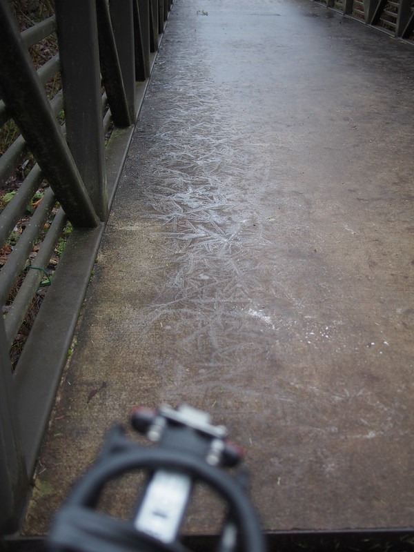
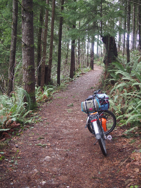
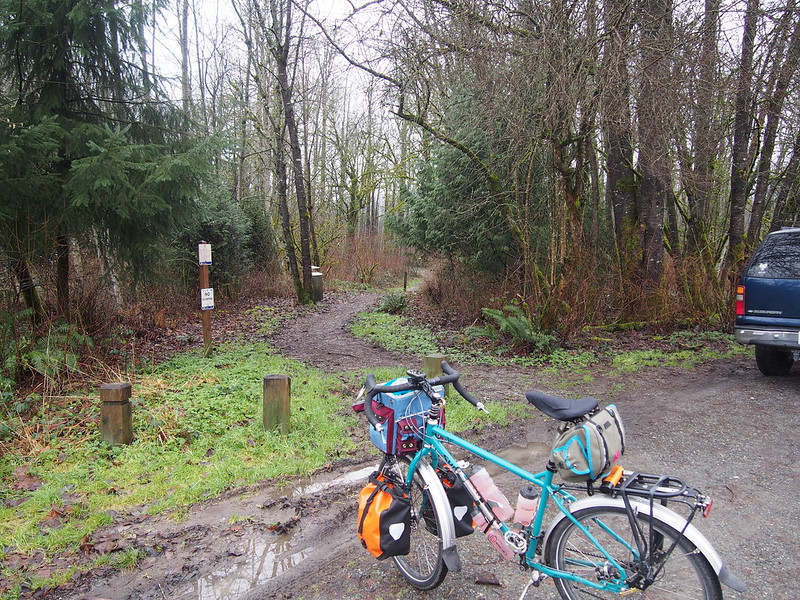
Once the Sun had risen enough, I left the restaurant and headed up the Issaquah–Preston Trail, which was a little muddy but not bad except for icy bridges. I almost went down on one of them
Suited up for sub-freezing weather, so I'm super-toasty right now.
— 竹下憲二 (@takeshita_kenji) December 26, 2015
I like how my Troll lets me climb gravel out of the saddle. #cycling
— 竹下憲二 (@takeshita_kenji) December 26, 2015
Today I learned that icy concrete is worse than wet gravel. Managed to stay up, though. #cycling
— 竹下憲二 (@takeshita_kenji) December 26, 2015
@kentsbike Brompton is currently undergoing a major conversion so it won't be ready to ride for a while.
— 竹下憲二 (@takeshita_kenji) December 26, 2015
@kentsbike My schedule is usually free, so you'll have to pick the weekend that works for you.
— 竹下憲二 (@takeshita_kenji) December 26, 2015
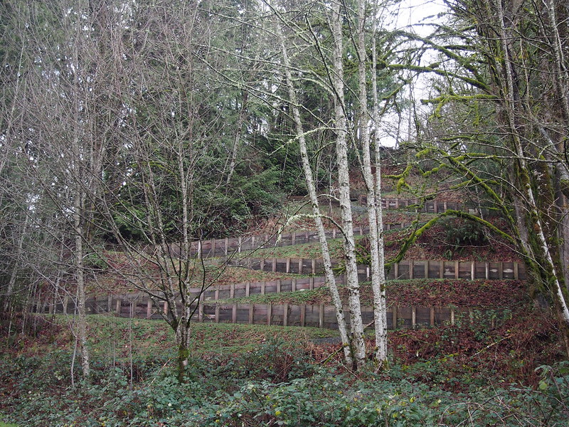
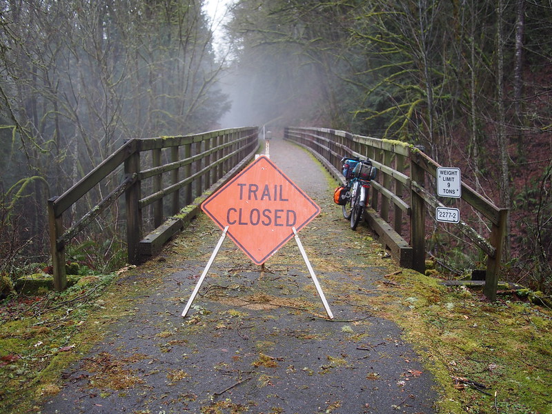
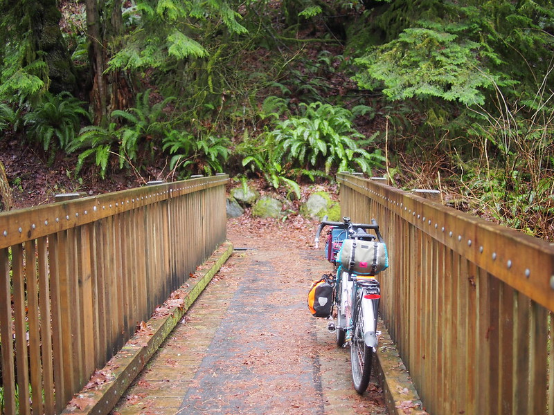
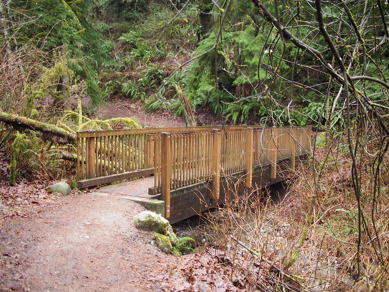
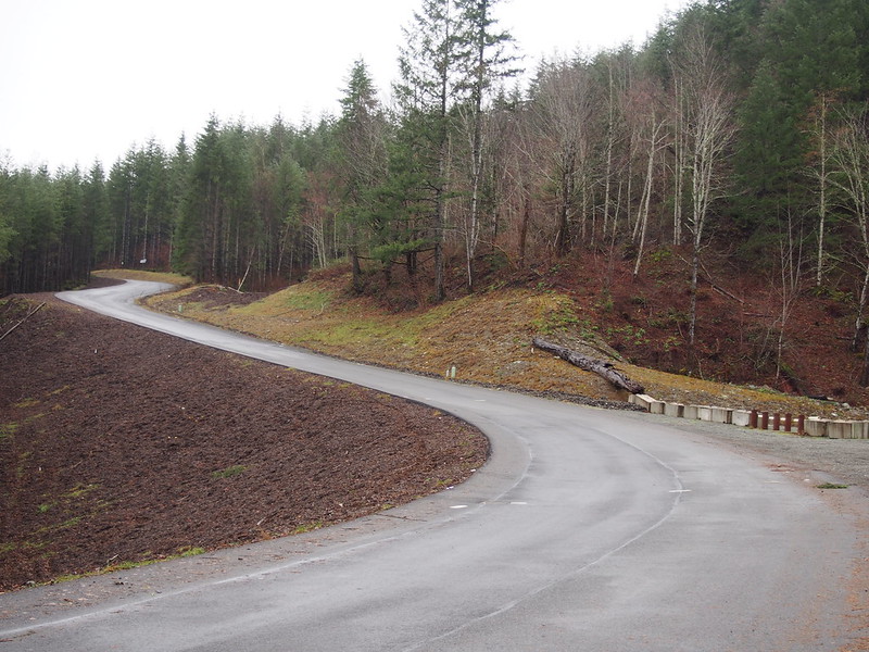
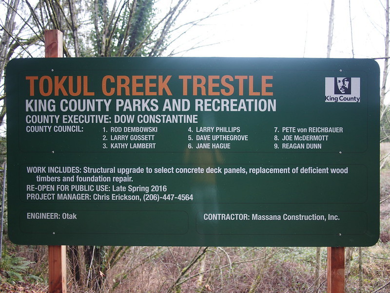
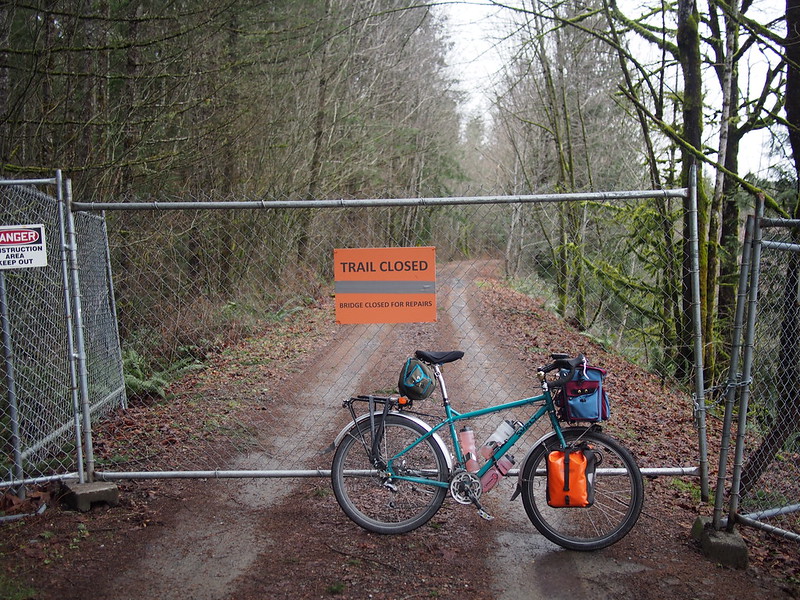
Past Preston, I continued along the trail, including climbing up the stupid gravel switchbacks. I ran into a bridge closure caused by flood damage, but went across it nonetheless.
When a trail involves gravel switchbacks punctuated by retaining walls, it is no longer suitable for bicycles. #seabikes
— 竹下憲二 (@takeshita_kenji) December 26, 2015
There was a bridge closure on the Preston–Snoqualmie Trail. I learned from locals after washing that some substructure had been washed out.
— 竹下憲二 (@takeshita_kenji) December 26, 2015
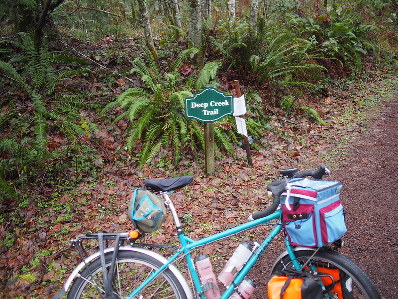
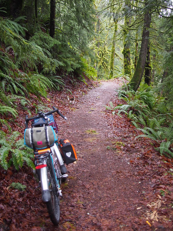
When I got to the base of the Deep Creek Trail, I started my hike up it. It was rather steep and slick, so riding it seemed like a bad idea, but I had originally planned to hike it.
The Deep Creek Trail would be terrible on a mountain bike with slick tires.
— 竹下憲二 (@takeshita_kenji) December 26, 2015
@kentsbike That would be cool, but isn't there also a Cascades run from Seattle to Eugene with an actual train?
— 竹下憲二 (@takeshita_kenji) December 26, 2015
@kentsbike I'll get back to you on that tomorrow.
— 竹下憲二 (@takeshita_kenji) December 26, 2015
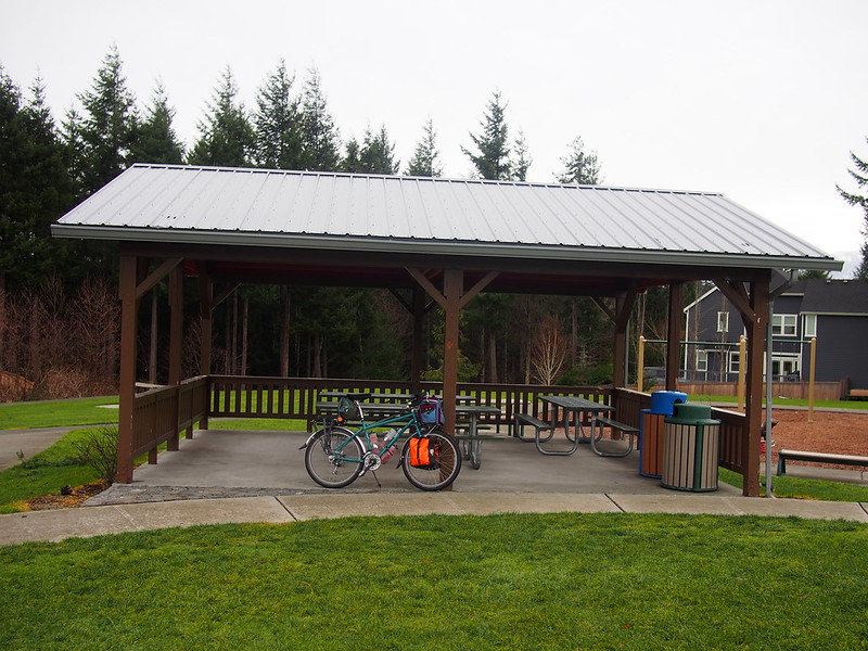
The trail ended at a park at the top of the hill.
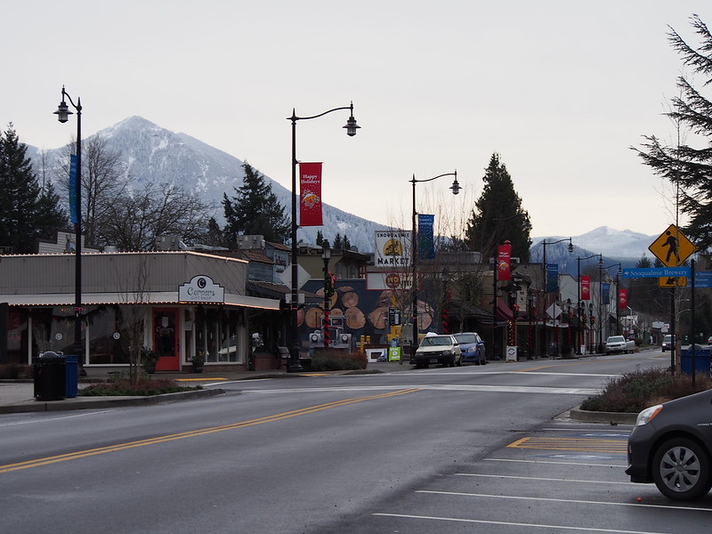
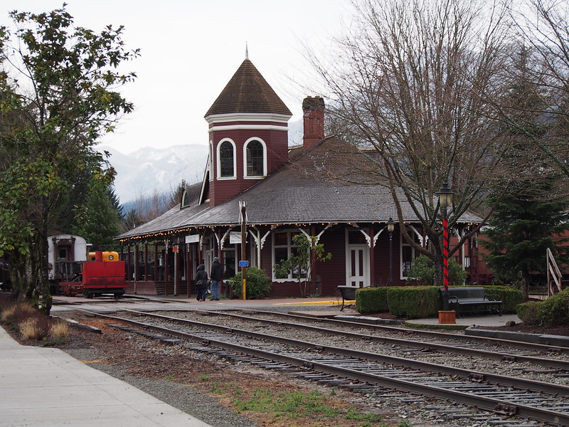
From there, I headed over to the Snoqualmie Parkway, then down the hill to downtown Snoqualmie, where I got coffee at an espresso stand. I also added a third wool sweater to my layers while at the stand.
It's cold up here. Got some more regular coffee to drink with my food.
— 竹下憲二 (@takeshita_kenji) December 26, 2015
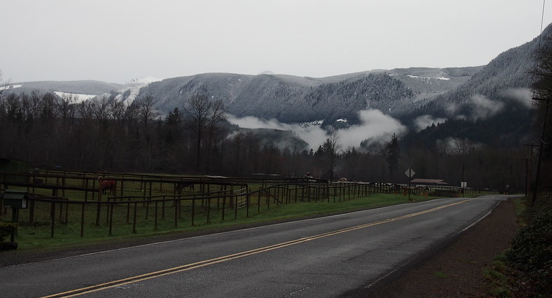
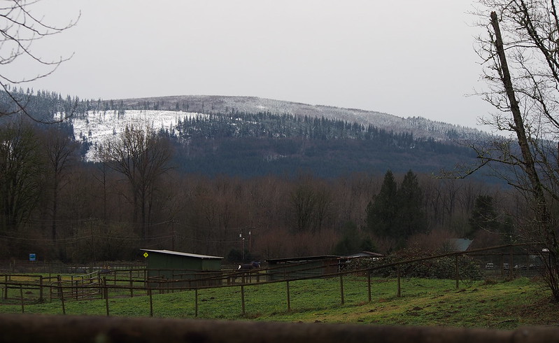
Lots of snow on the lower mountains here. Will turn back if it gets too cold.
— 竹下憲二 (@takeshita_kenji) December 26, 2015
Just added a third wool sweater to play it safe. Going all in!
— 竹下憲二 (@takeshita_kenji) December 26, 2015
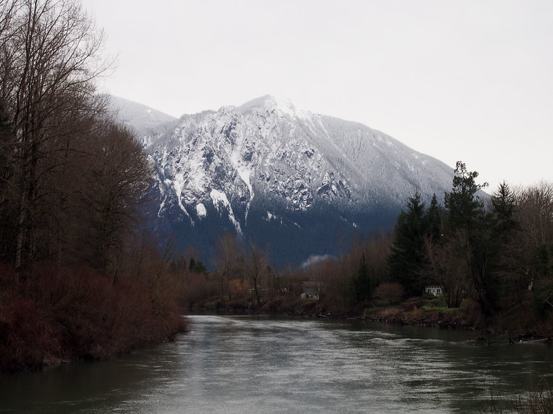
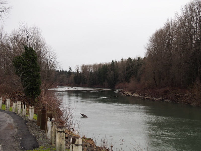
I left Snoqualmie by following roads along the river.
Then headed out toward Enies Lobby, which I'd visited before.
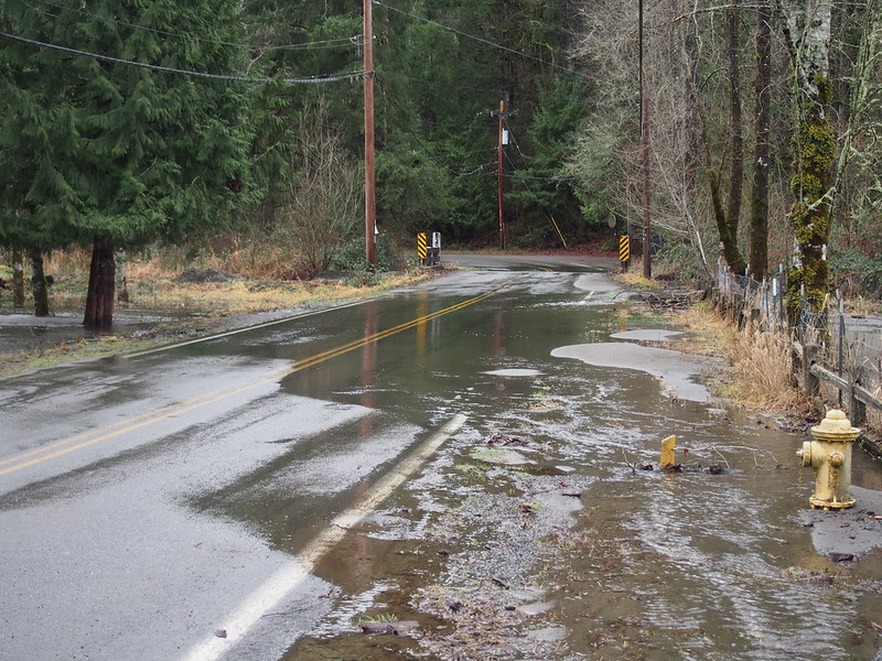
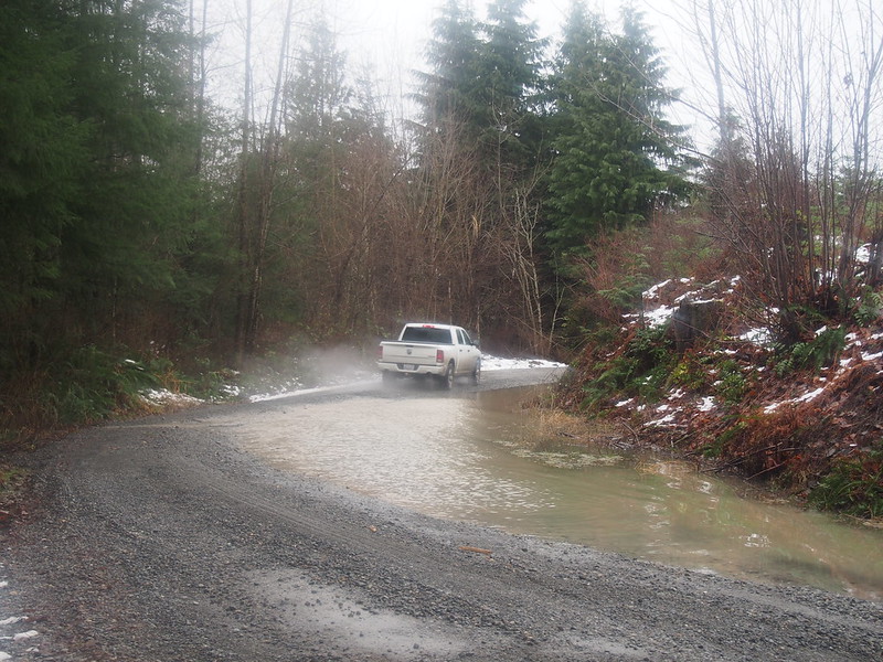
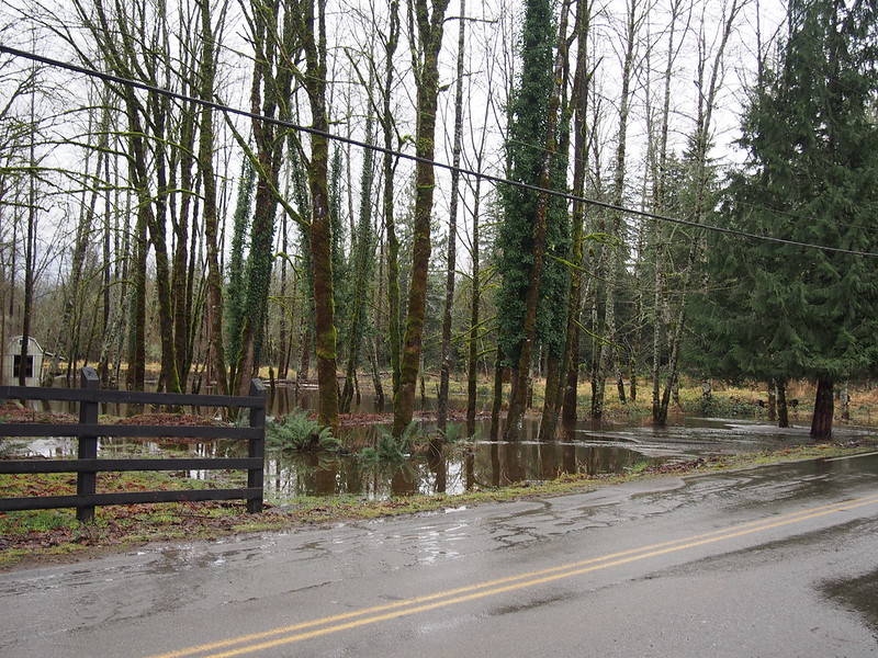
However, this involved riding over a flooded road. Normally, the creek would flow directly beneath a rather low bridge over it, but the heavy snowfall and rain made the bridge pretty much pointless.
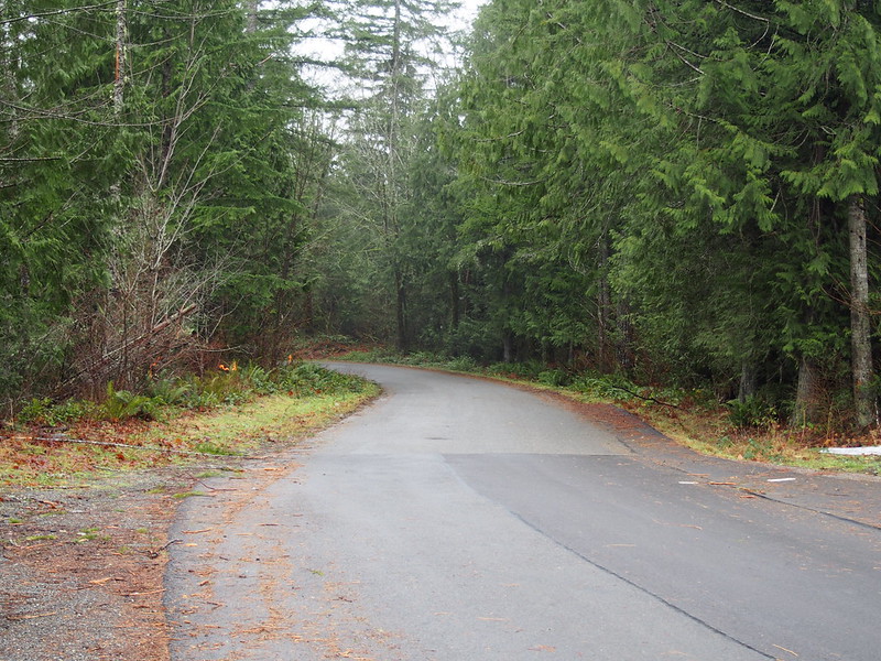
Rather than actually going there, though, I made a left and headed up the hill instead. This went well until I hit the steepest part, where my chain wanted to ghost shift between the largest cogs on my cassette (smallest chainring). After a few tries, I gave up and pushed my bike up it.
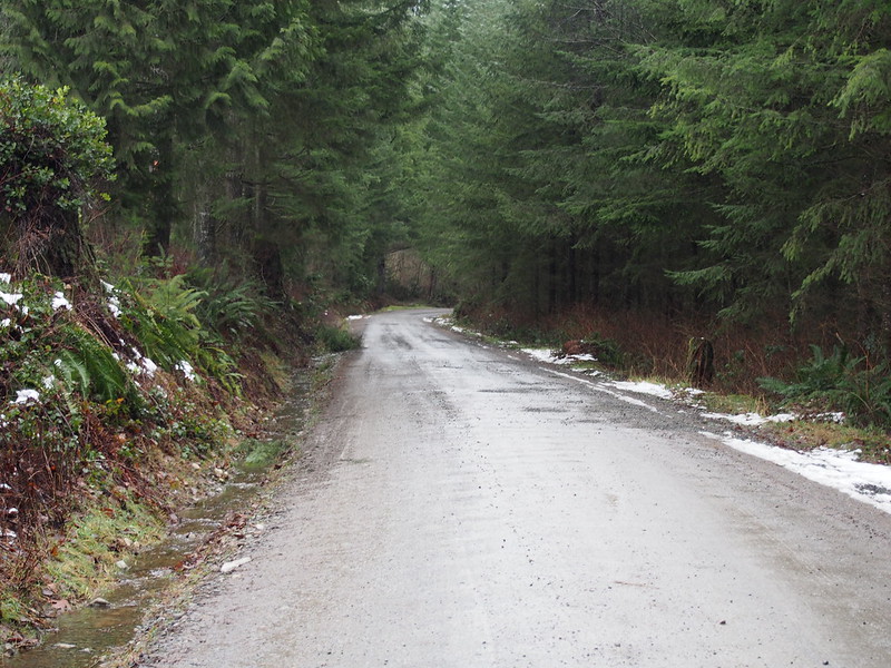
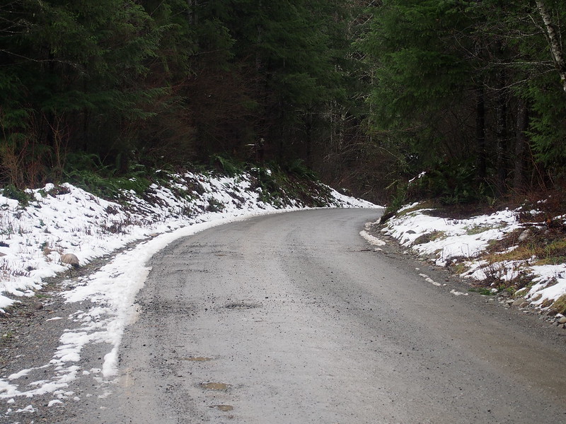
Shortly after the hill, there was a cul-de-sac that had a hardpack road continuing past it. The road was pretty washboarded, potholed, and saturated, which wasn't too much of a problem with my wide tires.
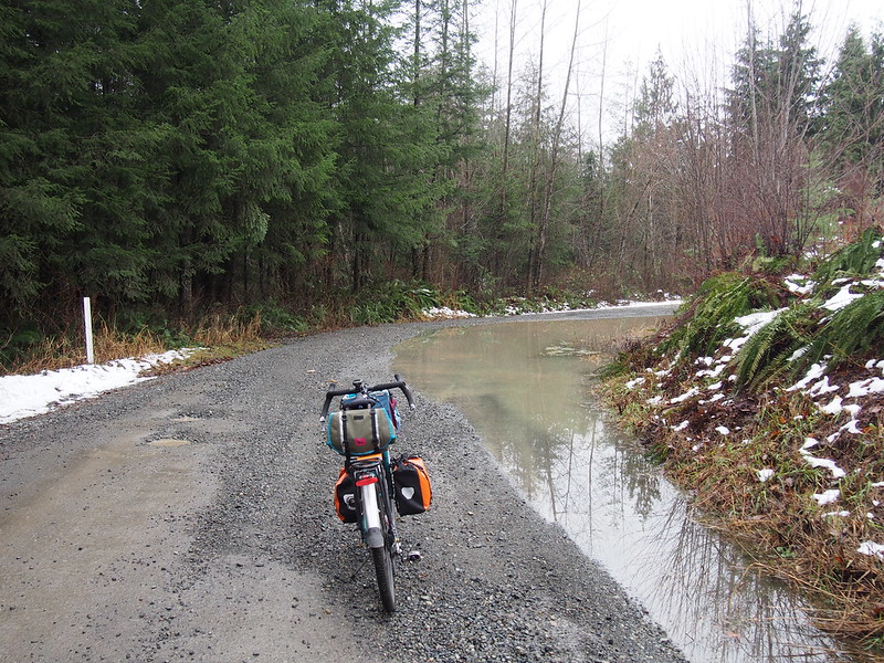
There were places with gravel made of smooth pebbles, which weren't fun. Also, some parts were flooded.
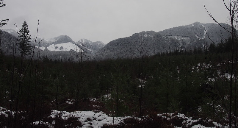
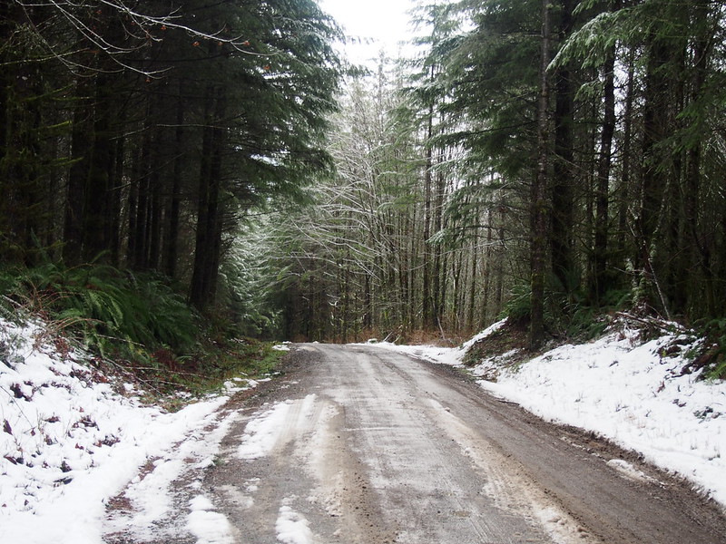
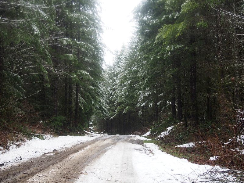
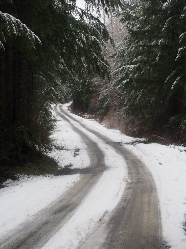
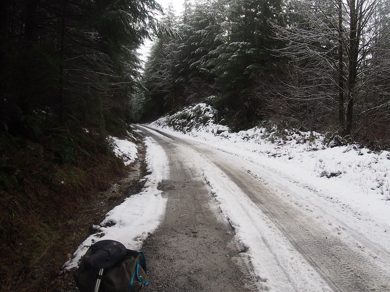
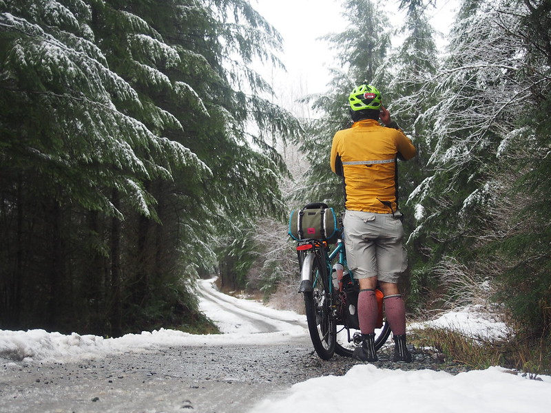
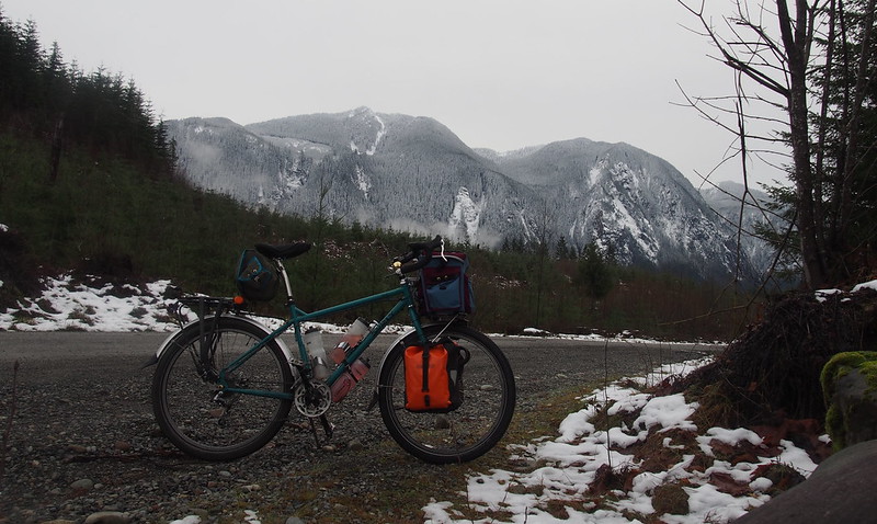
As I climbed, I started to see more and more snow.
The road here is in pretty poor shape, so I'm being careful. Snow on the ground, too.
— 竹下憲二 (@takeshita_kenji) December 26, 2015
Eventually, I decided that going this way with semi-slick tires was a bad idea, and then I turned back.
The snow got bad enough after a while that I gave up. I need tires with more knobbiness in order to conquer what I ran into. #cycling
— 竹下憲二 (@takeshita_kenji) December 26, 2015
Had I continued, I would've actually reached the North Fork Snoqualmie Campground, which would've tacked on around 20 more miles to my ride up there.
Part 3: Inbound
Heading downhill, I was rather cautious about my speed as the hardpack was still pretty sloppy.
Once back at the pavement, I let loose. Obviously, I spun out down the steep hill and kept going for quite some time after. Unwinding my way back down, I crossed the flooded road again.
Going to ride around the north end of both lakes all the way home to make up the miles.
— 竹下憲二 (@takeshita_kenji) December 26, 2015
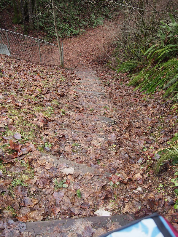
Then I made my way to the Snoqualmie Valley Trail, and hiked down the slick, leafy staircase with my bike.
I really wish they'd do something better than forcing this stupid stair climb for cyclists.
Unfortunately, the bridge had been washed out by the recent floods, which I learned by talking to others who were also forced to turn back.
Looks like the floods washed out some of the SVT bridges. Back down I go…
— 竹下憲二 (@takeshita_kenji) December 26, 2015
I ended up going down the highway to Fall City, then back up to the Issaquah–Preston Trail. I did manage to climb my way up the steep hill on the trail out of the saddle, but I got wheelslip partway up, which freaked me out.
When I tried to climb something super steep out of the saddle, I was rewarded with wheelslip. How encouraging. #cycling
— 竹下憲二 (@takeshita_kenji) December 27, 2015
As it was getting dark, I went down the trail to Issaquah fairly slowly to be safe, then hit the East Lake Sammamish Trail. As I needed coffee, but didn't want to go out of my way, I just hit up the local McDonald's. I've had worse coffee, but it still wasn't very good.
I was extremely careful descending that trail.
— 竹下憲二 (@takeshita_kenji) December 27, 2015
As I was getting tired, I decided to reduce my ambition and only get to Woodinville. Plus, I couldn't go as fast on the trail, as the sight lines are even worse during the night than during the day.
Going to try to make it to Woodinville and take the bus home from there. Today's ride was rather ambitious.
— 竹下憲二 (@takeshita_kenji) December 27, 2015
After all, I haven't done a century in quite some time, so I probably need to work back up to it.
— 竹下憲二 (@takeshita_kenji) December 27, 2015
Also, it's getting pretty cold.
— 竹下憲二 (@takeshita_kenji) December 27, 2015
When I got to Woodinville, I couldn't find the park and ride very easily. After a few loops, I looked it up on my phone and pointed my GPS that way, which got me right there.
Had a lot more trouble than I really should've finding Woodinville Park and Ride. Suburbs are hard to navigate in the dark.
— 竹下憲二 (@takeshita_kenji) December 27, 2015
Yeah, my legs are definitely ready to call it a day.
— 竹下憲二 (@takeshita_kenji) December 27, 2015
From there, it was a nice, warm bus ride back to Seattle.
I don't think I'll be going off-road into the mountains again before they thaw out.
— 竹下憲二 (@takeshita_kenji) December 27, 2015
@librarianbikes Pushing one's stroke isn't a good idea, though, as it can lead to injury. That's how I tore a quad.
— 竹下憲二 (@takeshita_kenji) December 27, 2015
Part 4: Return Home
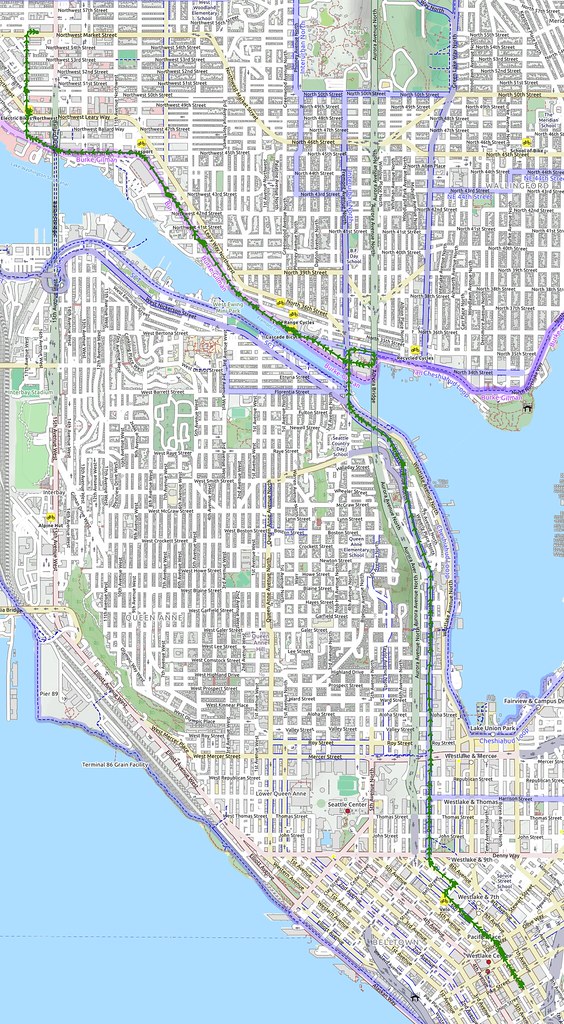
Once back in Seattle, I loaded my bike back up in an alcove to stay out of the cold wind, then rode my typical route home.
In the end, I did about as many miles as I had originally planned, thanks to the extra but up to Woodinville.
— 竹下憲二 (@takeshita_kenji) December 27, 2015
Rode through so much slush and water today that I had to relube my bike's chain in Snoqualmie.
— 竹下憲二 (@takeshita_kenji) December 27, 2015


No comments:
Post a Comment