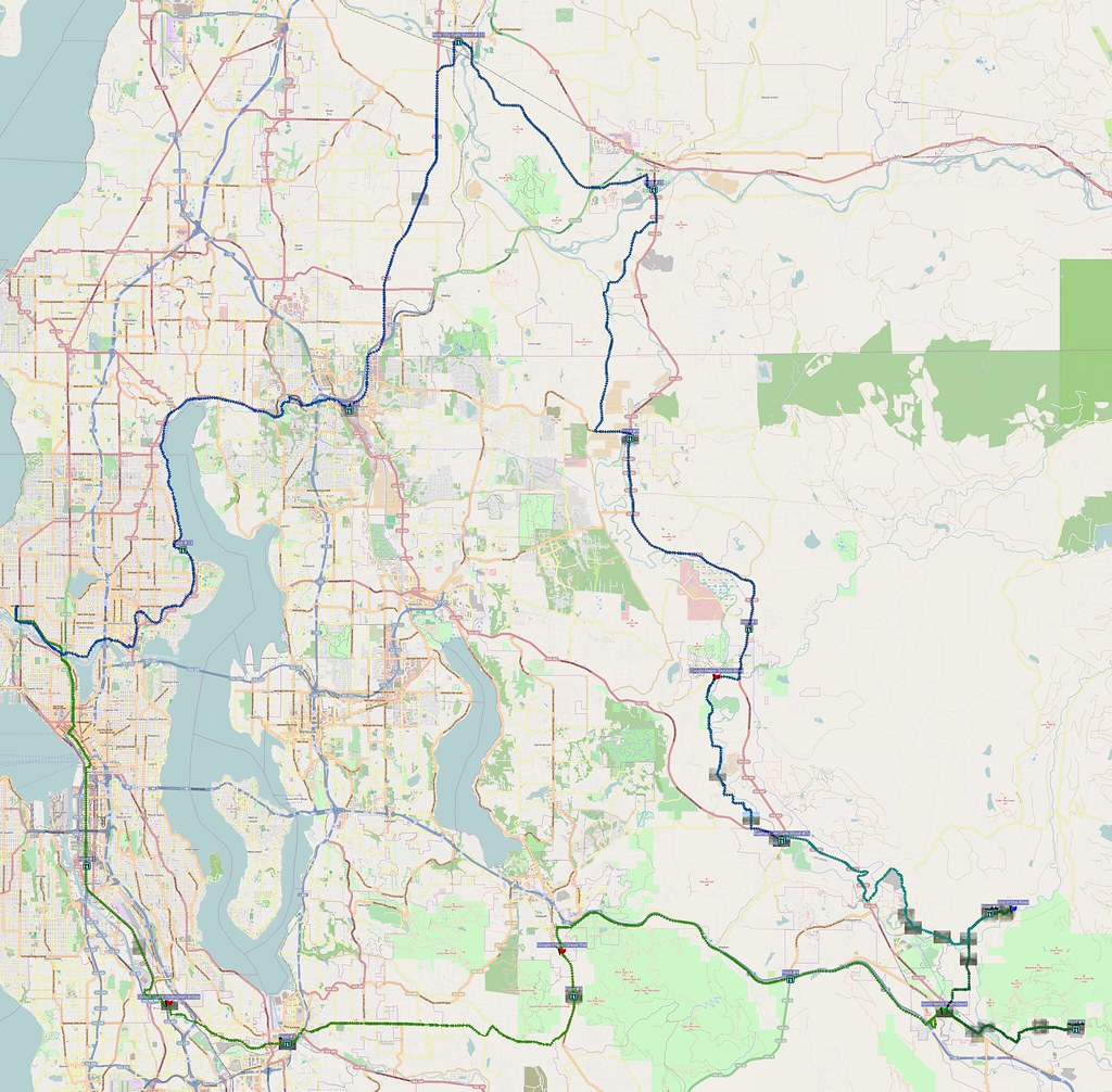
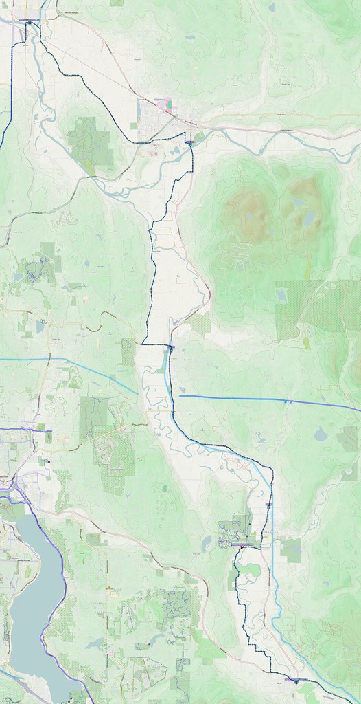
This ride was rather difficult for a few reasons, but the heckling by motorists didn't help.
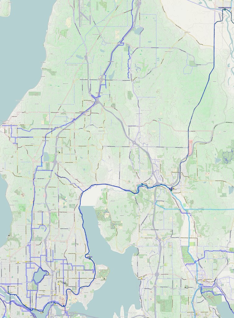
Yesterday: 141 miles, many of them in the upper foothills. https://t.co/0L8Uc1YVFd #cycling
— 竹下憲二 (@takeshita_kenji) April 14, 2014
More after the break…
Part 1: To Renton
After breaking my pedals on my last ride, I had some new ones this time. I started at my usual time (05:00).
As usual, the red lights downtown were irritating, since they do the same thing regardless of traffic.
I don't like riding downtown because of all of the red lights with zero cross-traffic.
— 竹下憲二 (@takeshita_kenji) April 12, 2014
After several miles, I started feeling some pain where my feet pressed into the pedals. In SoDo, I removed a few pins, which solved most of the problem.
The shoe-gripping bolts on my new pedals are giving me one nasty pressure point, but I can remove the problem ones.
— 竹下憲二 (@takeshita_kenji) April 12, 2014
I could feel a bit of tenderness in unfamiliar muscles, but I knew things would be a bit different this time.
Because my new pedal setup supports my feet better, different muscles are being used so I have to retrain somewhat for hill climbing.
— 竹下憲二 (@takeshita_kenji) April 12, 2014
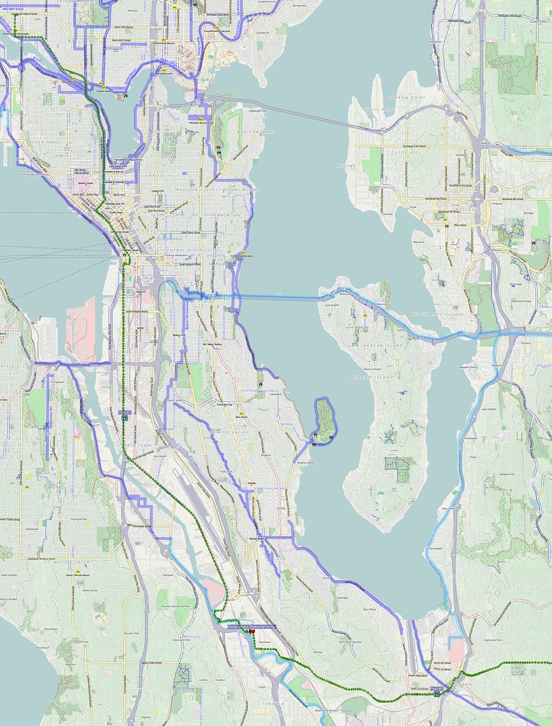
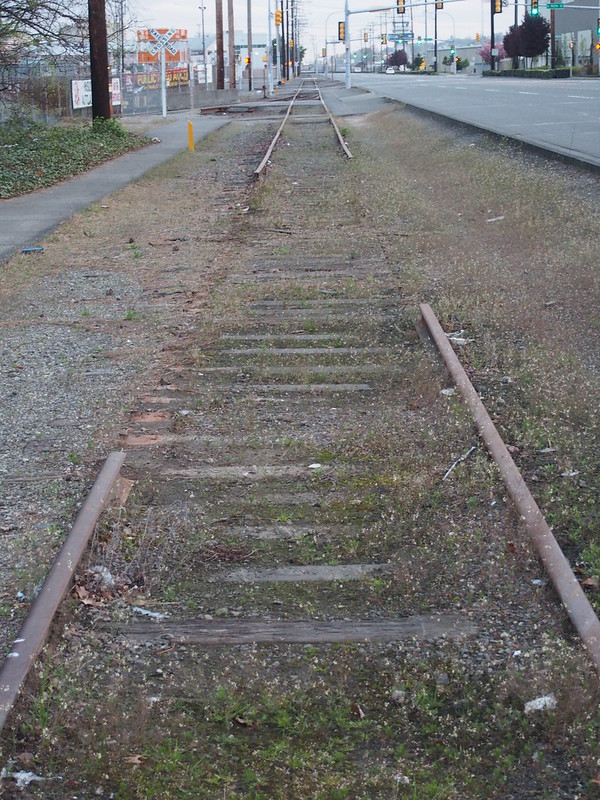
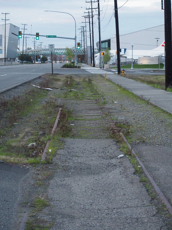
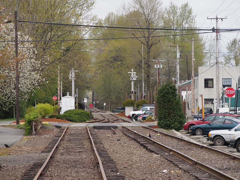
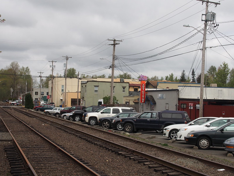
I rode along East Marginal Way S to exit Seattle via Tukwila. Around the Boeing plants there, some old railroad tracks parallel the road. They catch my attention every time, since they don't look like they see much use.
My route departed the road at S 112th Street to take the Green River Trail, even though it would've made more sense to continue along Interurban Avenue S and S 115th St. It led me to this cute pedestrian bridge, which took me through a small pocket of houses right in the middle of multiple sizable cities..
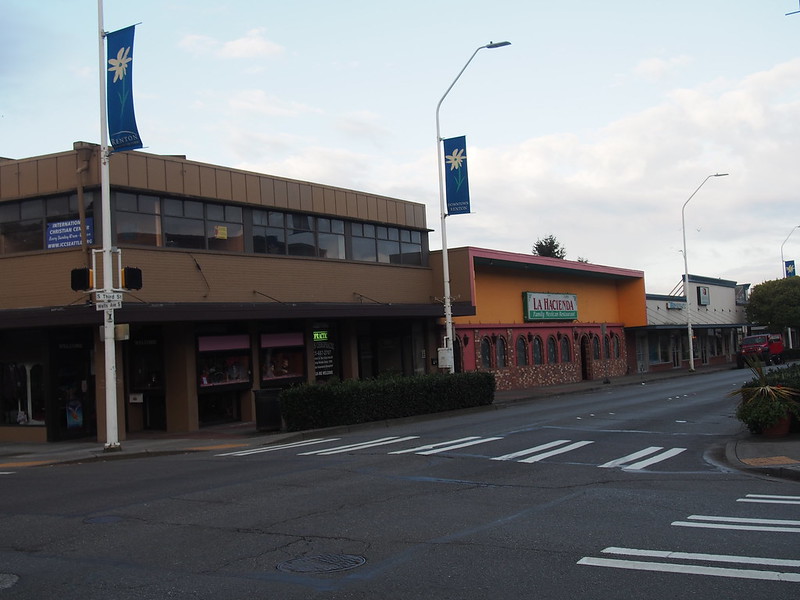
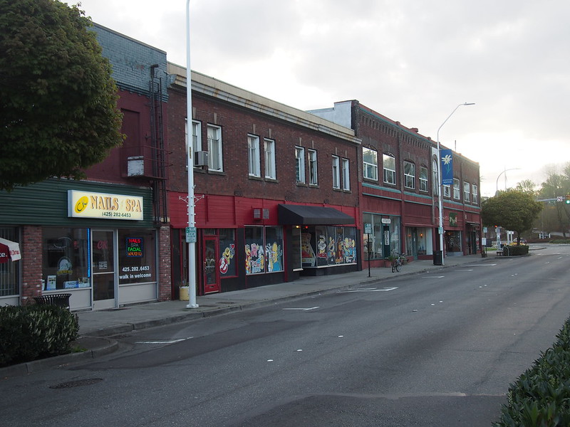
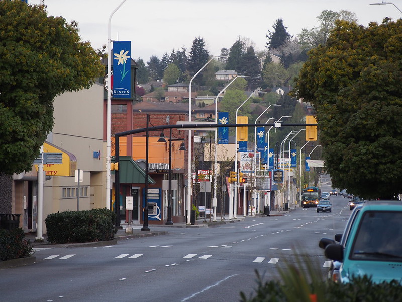
I climbed a steep hill up to Martin Luther King Jr. Way, which took me to downtown Renton.
Since I was headed east from there, a major hill climb was virtually guaranteed. Unfortunately, I didn't have particularly welcoming company up that long hill.
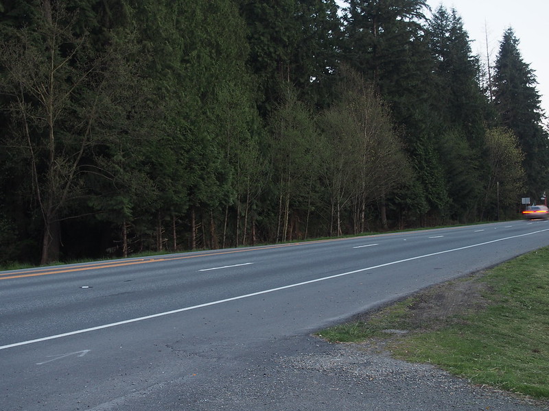
While I was climbing up a long, steep hill, a bunch of police SUVs were passing in the left lane.
— 竹下憲二 (@takeshita_kenji) April 12, 2014
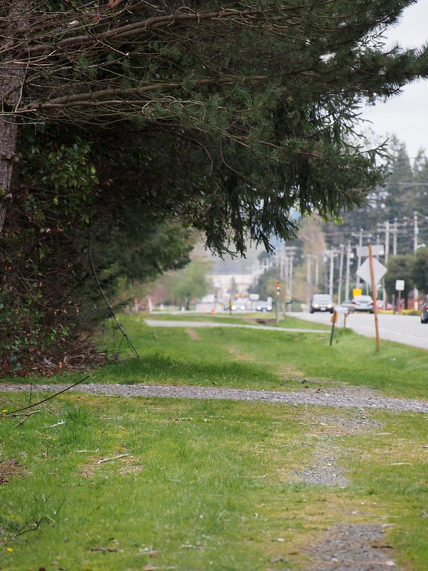
One of the driving officers asked me to ride on the 'sidewalk,' which was just a little worn-through path in a grassy shoulder. #cycling
— 竹下憲二 (@takeshita_kenji) April 12, 2014
And only a block or two after reaching the top of it, there was a bike lane…for about three or four blocks. Not exactly good infrastructure there.
This sort of thinking is one of the many reasons why I detest the suburbs.
— 竹下憲二 (@takeshita_kenji) April 12, 2014
I'll probably just cross Lake Washington via I-90, so I can avoid Renton's steep hills and not-so-considerate drivers. #cycling
— 竹下憲二 (@takeshita_kenji) April 12, 2014
Part 2: Mt. Si Area
I eventually made may way out of Renton's boundaries, then went up and down along a few more hills before eventually joining up with Issaquah—Hobart Road. I stopped at a park there, where I chatted with a paragliding individual there. He mentioned there being some grassy fields atop the hills suitable for taking off.
I'm at Tiger Mountain Landing Zone & Chirico Trail Head (Issaquah, WA) http://t.co/D9BqoZv3K5
— 竹下憲二 (@takeshita_kenji) April 12, 2014
There were some paragliders coming down in that park from earlier.
— 竹下憲二 (@takeshita_kenji) April 12, 2014
I came across some shoes under the picnic table, but there weren't any snacks.
Some disowned shoes here, buy they contain no snacks.
— 竹下憲二 (@takeshita_kenji) April 12, 2014
Somewhere along Issaquah—Hobart Road, I saw a housing development that was Something "Farm," and it didn't sit right with me.
Putting 'farm' into the titles of housing developments is in bad taste, since housing developments are destroying farmlands.
— 竹下憲二 (@takeshita_kenji) April 12, 2014
When I got to Issaquah, I was surprised to find my route deviating from the road in favor of some narrow, gravel trail behind the local high school. Needless to say, I didn't follow it.
Google Maps told me to go on some gravel hiking trail behind Issaquah High School to get to I-90. Of course, I didn't do that. #cycling
— 竹下憲二 (@takeshita_kenji) April 12, 2014
I then hit I-90, taking the usual route along the shoulder.
Getting up here is NEVER easy.
— 竹下憲二 (@takeshita_kenji) April 12, 2014
Since my legs were still adjusting to the new pedals, I was having something of a tough time getting to North Bend. I was thinking that perhaps a less hilly route would've been better as a first real ride with the pedals.
Maybe I should've done another route instead of this one today.
— 竹下憲二 (@takeshita_kenji) April 12, 2014
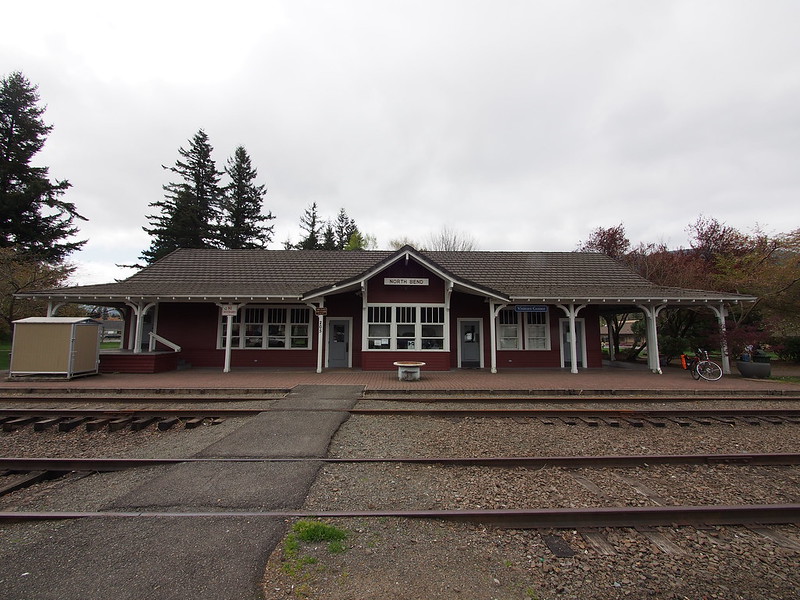
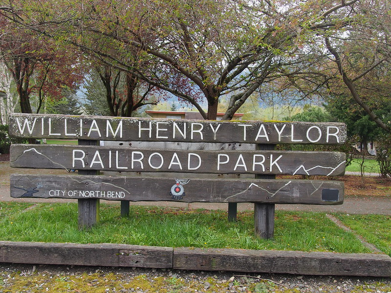
I then passed through North Bend, stopping at a landmark where I hung out with a fellow tourer on a previous ride.
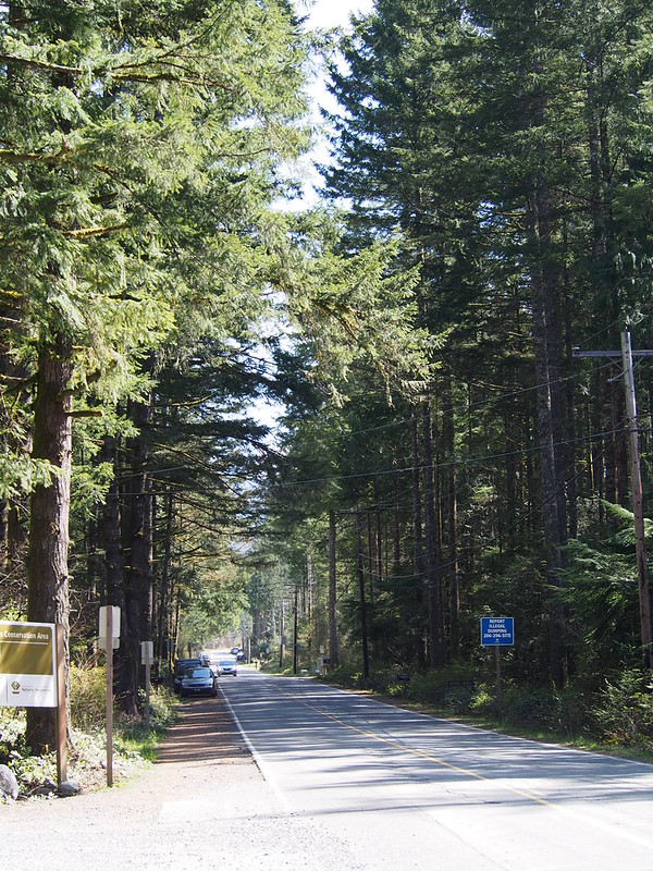
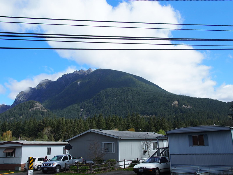
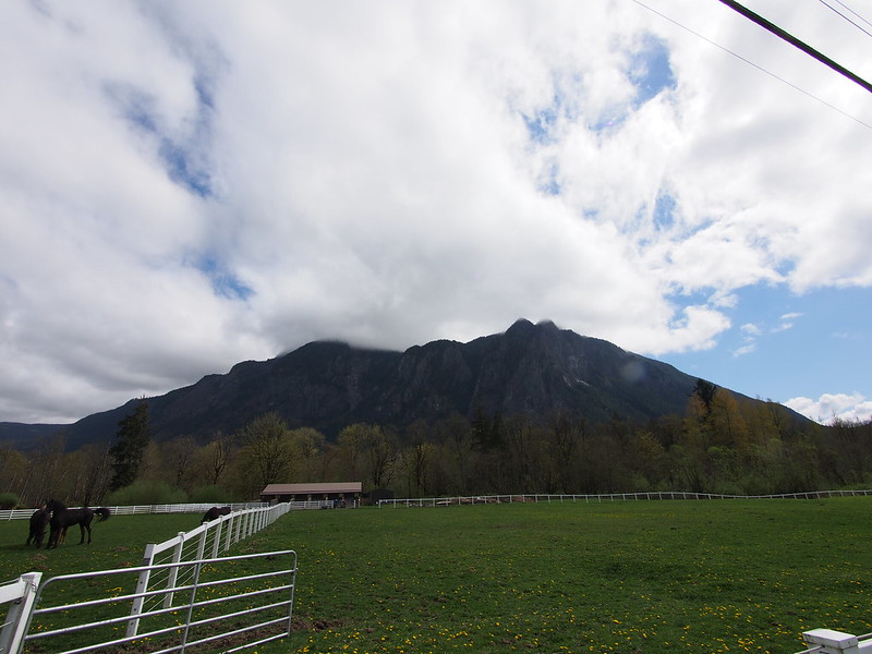
I headed east along the road there, toward what seemed to be a bit of blue sky around Mt. Si. Google Maps told me to ride along a tiny gravel path in the grass, which was just a silly suggestion.
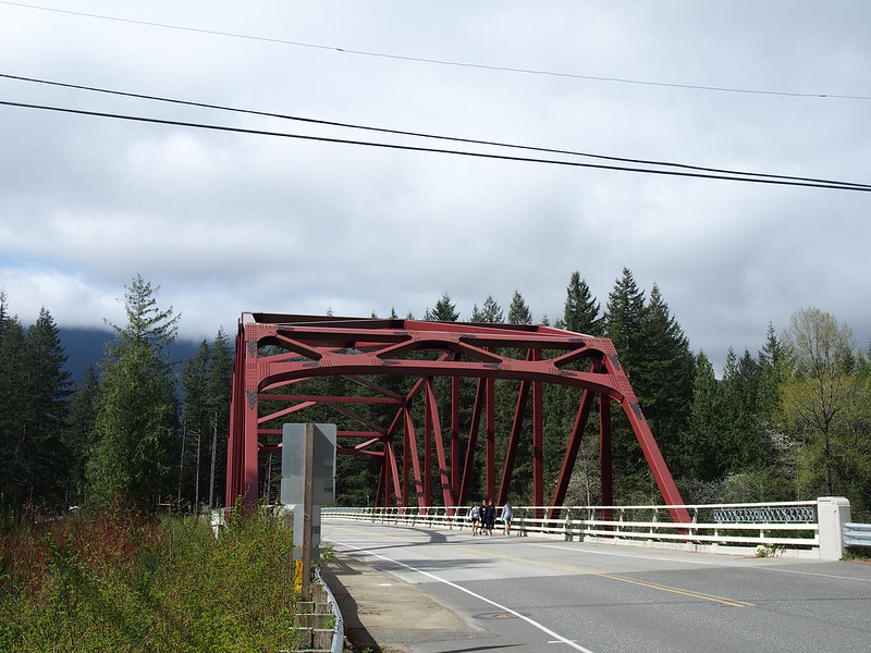
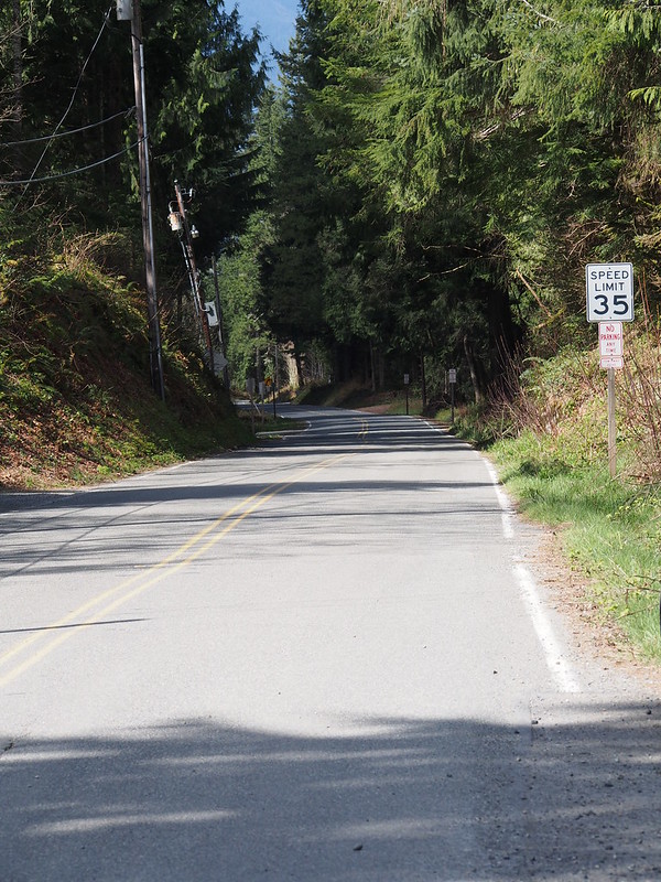
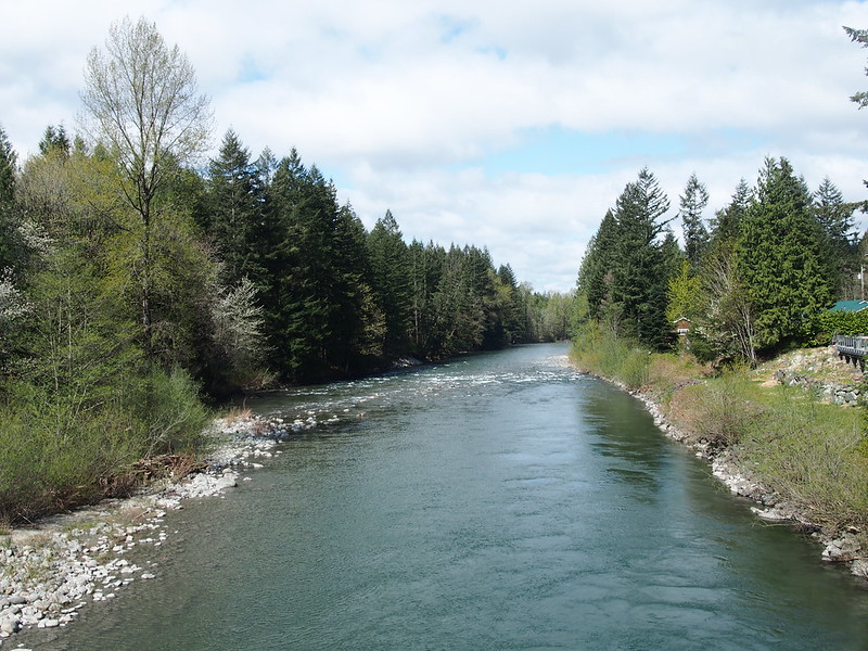
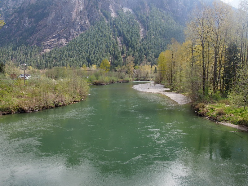
I made the left to cross the Middle Fork of the Snoqualmie River, then headed up Mt. Si Road.
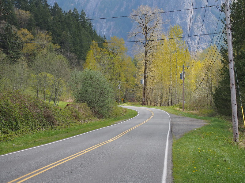
My surroundings didn't seem indicative of it, but I was headed up a long uphill climb. I wondered why it was more difficult than it should've seemed to be, but I figured it out when I headed back the other way later.
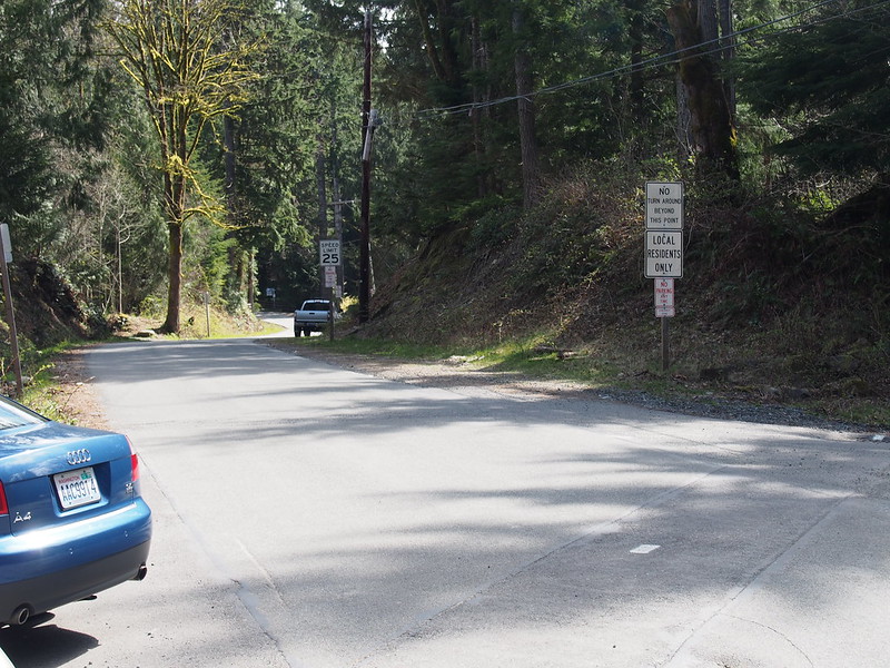
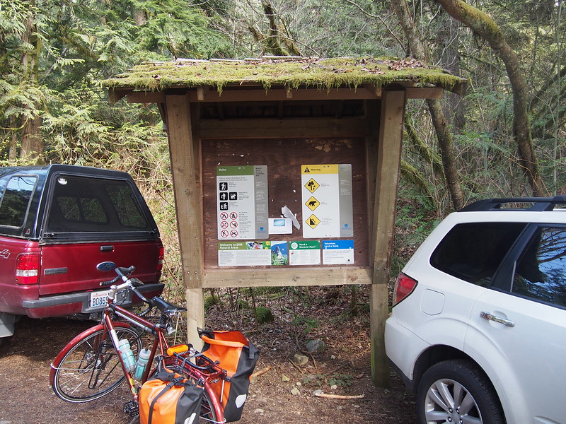
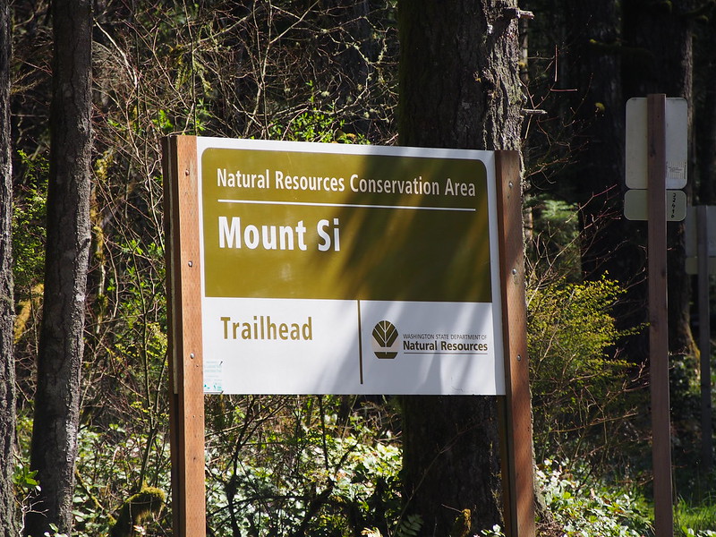
And then, the end of the road at a trailhead.
It's sunny and warm around Mt. Si.
— 竹下憲二 (@takeshita_kenji) April 12, 2014
After eating some, I headed back down the big hill at a great speed.
And then back toward downtown North Bend.
While there, I heard a train horn, which was likely from the Northwest Train Museum.
I hear something that sounds just like a locomotive horn.
— 竹下憲二 (@takeshita_kenji) April 12, 2014
I headed northeast from there, first crossing the Middle Fork again.
And then the North Fork.
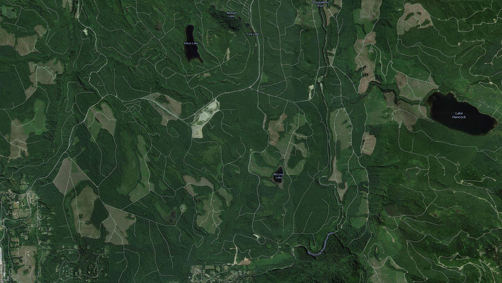
This route took me further and further out, ending in a place called Ernie's Grove.
Much further, and I would've ended up on private logging roads.
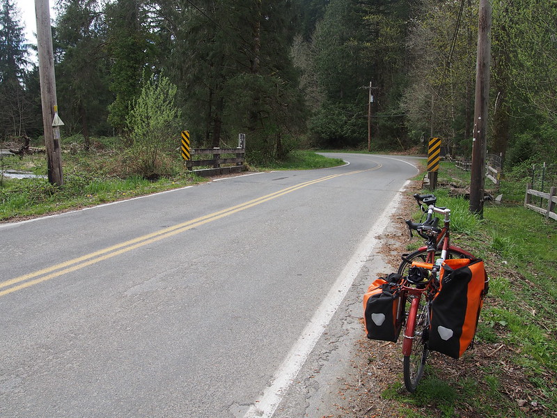
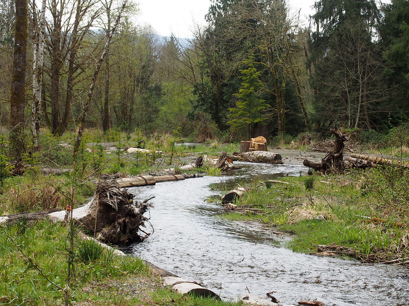
Rather than sticking around to eat and raise suspicion, I headed down to a bridge across a creek to eat.
I am nowhere. It is peaceful here.
— 竹下憲二 (@takeshita_kenji) April 12, 2014
My route then took me partway toward North Bend again before I turned right to avoid North Bend.
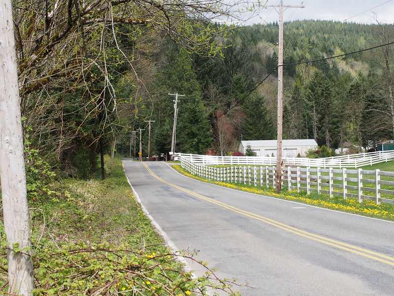
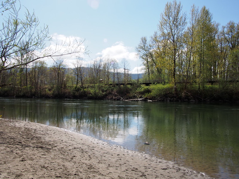
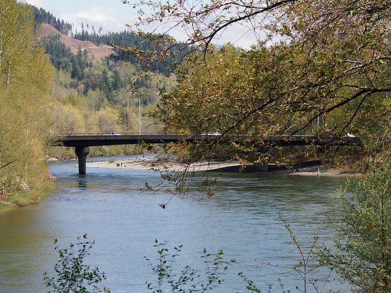
This took me along the Snoqualmie River for a bit.
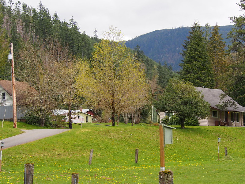
The corridor below is actually a King County landmark., and was once a housing development intended for workers for the old Weyerhaeuser mill.
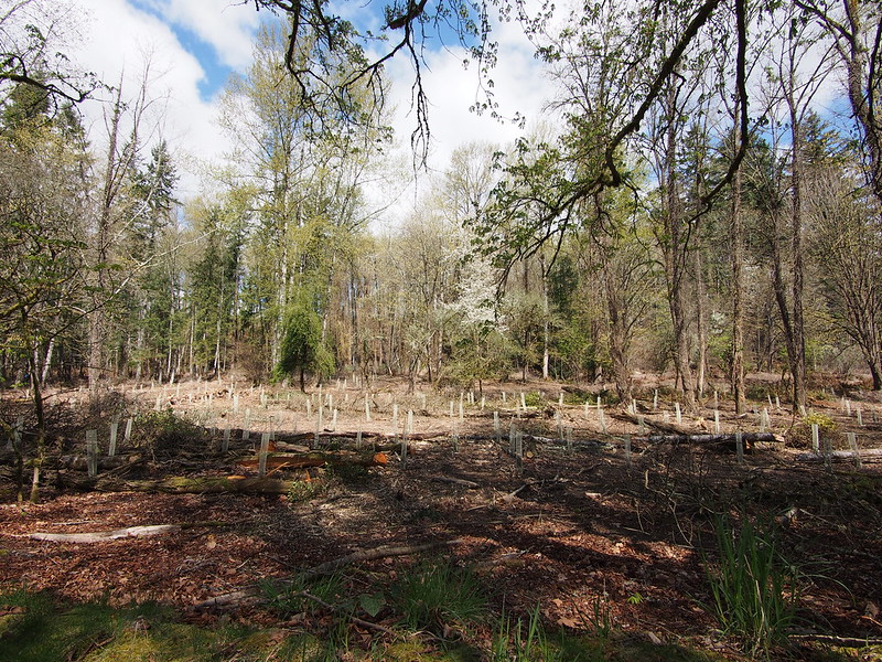
The sight below caught my eye. I guess it's some sort of tree nursery.
I also saw a little stub of the Snoqualmie Valley Trail in the Three Forks Natural Area.
From there, I was lifted up the northwestern edge of the valley.
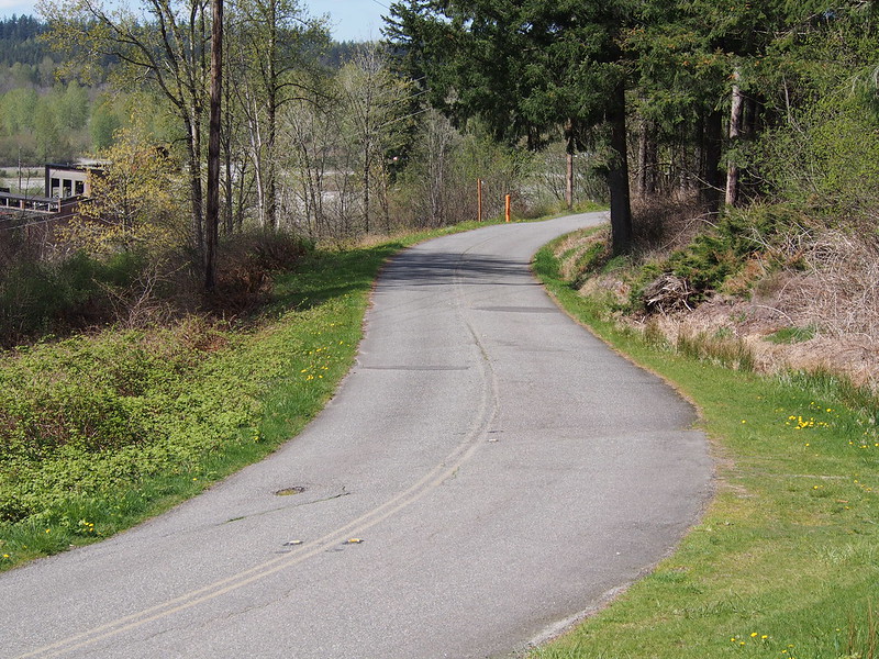
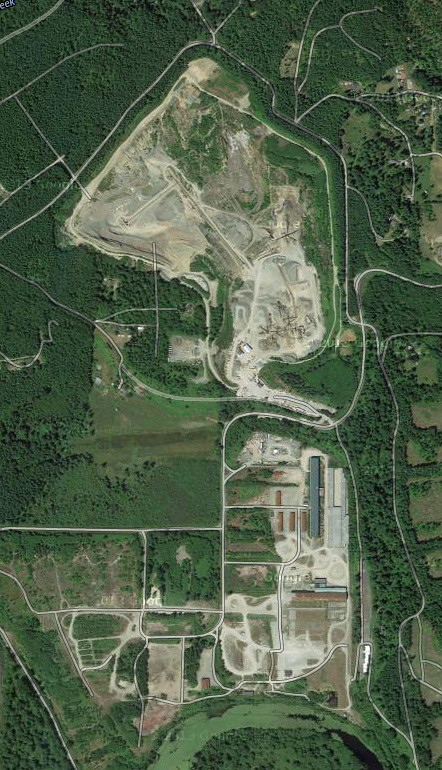
And came across an old mill, currently used as a rally park.
I rode past something called Dirtfish earlier.
— 竹下憲二 (@takeshita_kenji) April 12, 2014
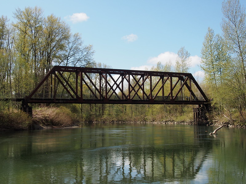
Again, logging roads reigned here. Part of why I chose this route was to see them. Of course, I didn't go out along them since they're on private property. Another reason why I rode out here was to see some of the unused railroad infrastructure, some of which having been converted to trails. There's a trestle just next to Snoqualmie Falls, too, but was on the wrong side of the river to see it.
Speaking of the falls, the road I was on took me right to them, but not before passing some signs for the Snoqualmie Valley Trail. From there, I did the usual speed run down to the Snoqualmie Valley.
Part 3: Snoqualmie Valley
Last time I was here, it was pouring down rain. I was lucky enough to get a nice, sunny afternoon here instead this time.
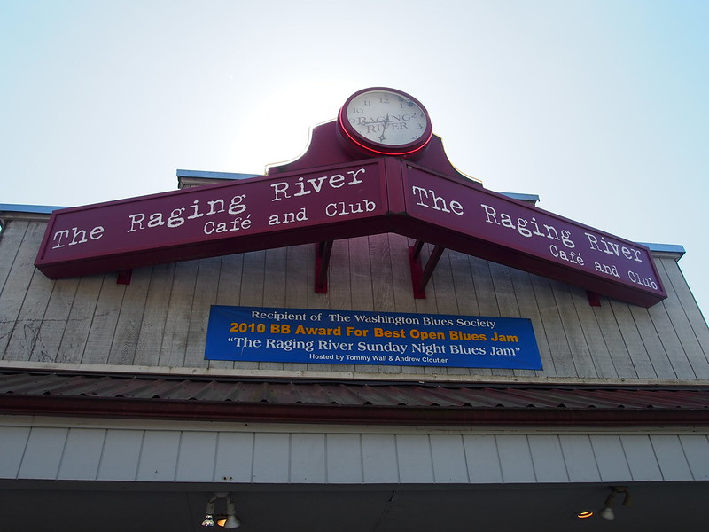
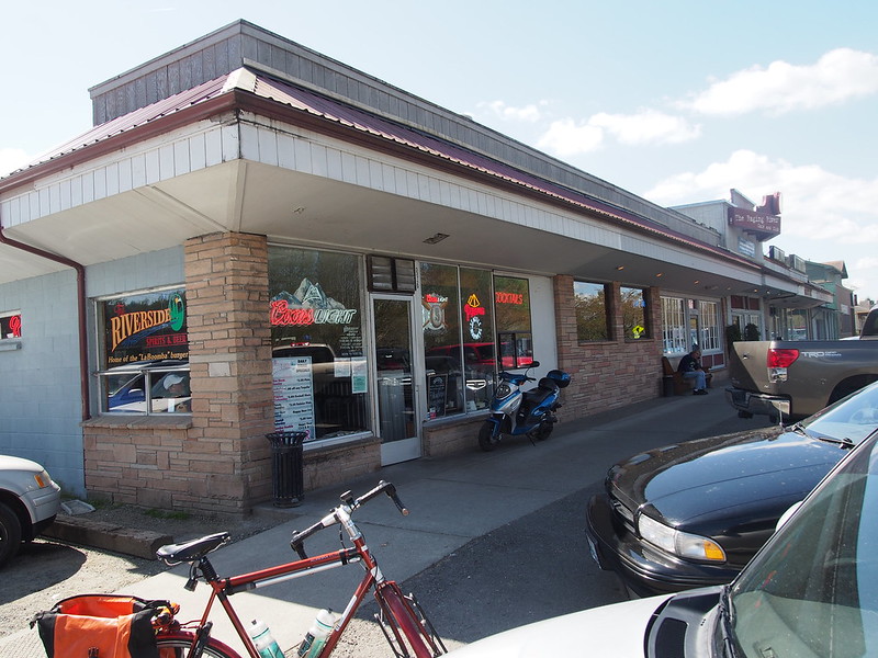
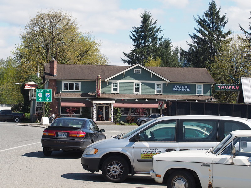
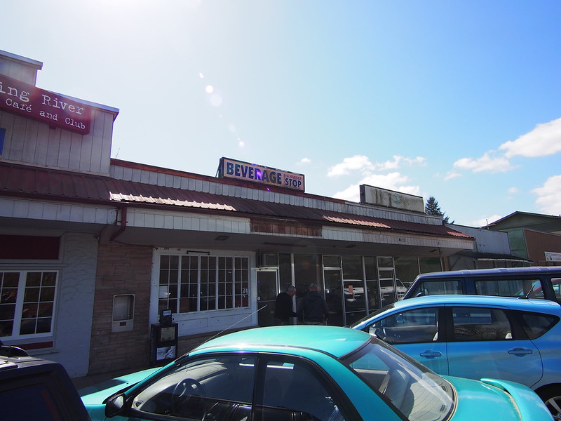
I stopped in Fall City at a cafe I've visited before to get some water, and ate a biscuit with sausage gravy while there. Last time I ate there, it was with a girl I dated when I was in community college.
I'm at Raging River Cafe & Club (Fall City, WA) http://t.co/RXYqmwI5qA
— 竹下憲二 (@takeshita_kenji) April 12, 2014
I've actually been here before, many years back.
— 竹下憲二 (@takeshita_kenji) April 12, 2014
From there, and unlike last time,I left the major roads and went along the farm roads on the west side of the valley. Considering the flooding that had been going on last time, it was probably a good idea that I stuck to the highway then.
That's also when I first noticed how I was fighting an annoying headwind.
This headwind is killing me.
— 竹下憲二 (@takeshita_kenji) April 12, 2014
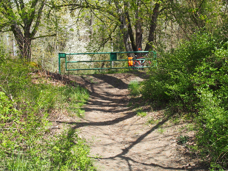
I went back onto the highway after I saw Google Maps routing me onto a gravel service road behind a gate. While there was a cool footbridge there, it was a ways off and I didn't want to waste time on gravel paths.
While riding along the highway, I was heckled by a tow truck driver, who had his emergency lights flashing just because I was riding along the side of the road.
An unloaded tow truck driver pulled up beside me and yelled at me to get off the road.
— 竹下憲二 (@takeshita_kenji) April 12, 2014
The guy mentioned something about how I would cause "accidents" just by being in the road. In reality, if that were the case, it'd mean that the drivers involved weren't properly trained and shouldn't have been driving at all, for the safety of all road users. My mood was soured by this event.
Why is everyone heckling me today? It's not like I haven't been riding continuously for years!
— 竹下憲二 (@takeshita_kenji) April 12, 2014
I stopped by at a bar in Duvall for water, since the nearby cafe was closed.
While I ate after acquiring the water, a women came out and helped my mood a bit with some understanding words..
One lady came out of a shop while I was eating and said, "Nice day."
— 竹下憲二 (@takeshita_kenji) April 13, 2014
I told her about the heckling and she was surprised, saying that bicycles (and motorcycles) have the right of way.
— 竹下憲二 (@takeshita_kenji) April 13, 2014
At least I feel a little better now.
— 竹下憲二 (@takeshita_kenji) April 13, 2014
From there, I went along Woodinville-Duvall Road to take the road along the western side of the valley until shortly Monroe, when i got back to the highway. This part was fairly uneventful.
When I did get to Monroe, I noticed that there was some sort of event going on in a prominent building just north of the bridge into town from the south. "FREE PARKING" was being advertised.
To exit town, I returned to the western edge of the valley, commenting on how the construction in the area was closing off bits of the roads around SR-522.
I was feeling physically distraught, but had some hope in the final stretch to Snohomish. I made it to the cafe just as they were closing, and was the last customer of the day. A couple came in a short while after me, and couldn't be served since they were closing.
I'm at Rock City Cafe (Snohomish, WA) http://t.co/Y3ypZzkziK
— 竹下憲二 (@takeshita_kenji) April 13, 2014
This ride would've been a lot more timely and a lot less painful if I hadn't gone to Mt. Si.
— 竹下憲二 (@takeshita_kenji) April 13, 2014
Apparently some power lines went down on US 2 near Index. http://t.co/orvIhWe2vE
— 竹下憲二 (@takeshita_kenji) April 13, 2014
The father and son who run the coffee shop are very nice, and the father roasts the non-decaf beans there (I found that out last time), so I really like making this shop a waypoint on my rides that pass through Snohomish.
Part 4: Return home
Feeling better at this point, I charged south along the long hill that is SR-9. Since it was getting late, traffic was fairly light.
Caffeine wipes out the despair and the odd headache/stoned feeling I get on these long ride.
— 竹下憲二 (@takeshita_kenji) April 13, 2014
And then I got to my next waypoint: Wilmot Gateway Park.
I'm at Wilmot Gateway Park (Woodinville, WA) http://t.co/F6lco46D3c
— 竹下憲二 (@takeshita_kenji) April 13, 2014
The rest of the ride was a routine one along the Burke-Gilman Trail, aside from the detour in the UW campus.
How can my legs handle so much abuse?
— 竹下憲二 (@takeshita_kenji) April 13, 2014
At this point, it hurts more to keep my legs still than move them, so I probably shouldn't stop again before I get home.
— 竹下憲二 (@takeshita_kenji) April 13, 2014
And, of course, my deviation from it at 15th Ave NE, which takes me along Pacific and Northlake until the George Washington Memorial Bridge.
I got home rather late, and made sure to drink a lot of water to avoid passing out like before.
While my legs weren't in the right shape for this particular pedal combination when I started, they certainly will be soon enough.
— 竹下憲二 (@takeshita_kenji) April 13, 2014
My legs haven't hurt this much in a very long time, but it feels little more than different muscles getting worked.
— 竹下憲二 (@takeshita_kenji) April 13, 2014
















No comments:
Post a Comment