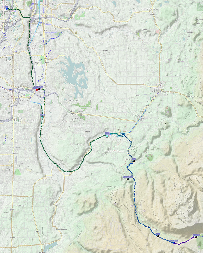
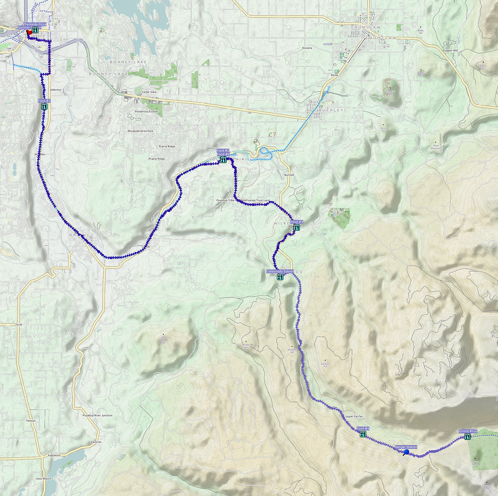
After having a final saddle adjustment done on my Double Cross, I did this ride. My plan was about 200 km, but since Saturday's nasty weather pushed this ride to Sunday and I had work the next day, I had to take the bus to save time on the return trip.
Related albums:
More after the break…
Part 1: To Downtown Seattle
I started at 05:30 or so as I had targeted the ST 577 to get me to Federal Way. My original plan was the ST 578, but the first weekend run was too late. I had also originally planned to do this ride on the day before (Saturday), but the weather was awful.
Riding today because the weather yesterday was awful and today's forecast seemed promising.
— 竹下憲二 (@takeshita_kenji) October 11, 2015
On my way to downtown, I came acrosss something odd.
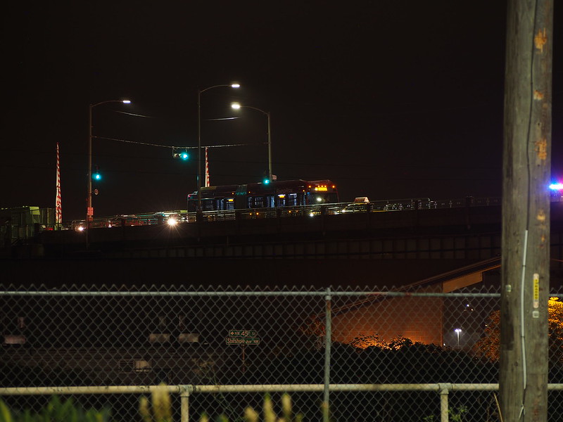
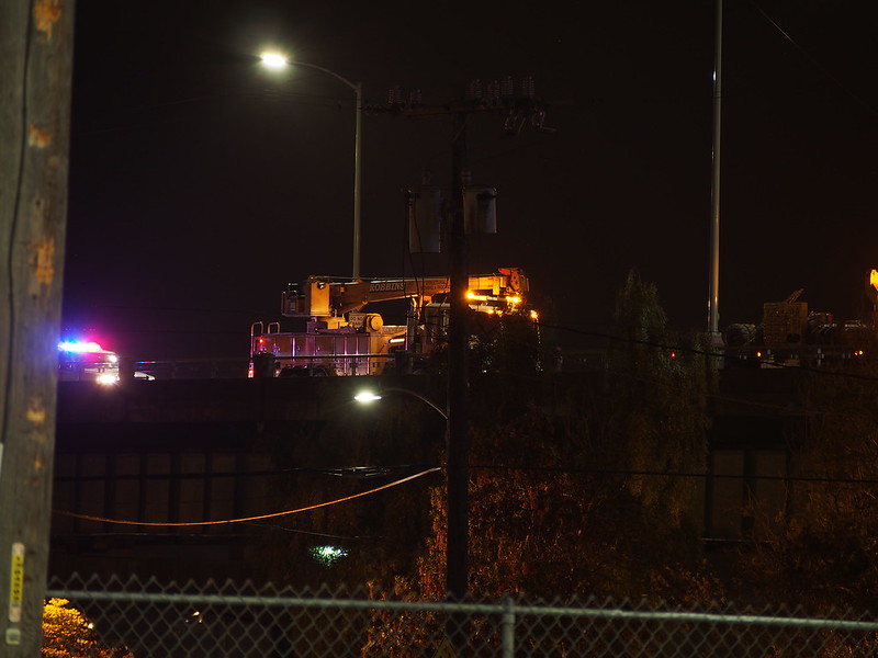
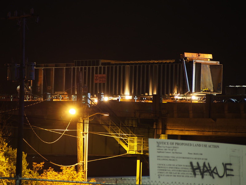
There was something weird on the Ballard Bridge going on involving a shipping container.
— 竹下憲二 (@takeshita_kenji) October 11, 2015
As I left, a semi truck cab started hauling the container along the bridge.
The adjusted fit seems good. Muscles being exercised differently, but no joint pain. #cycling
— 竹下憲二 (@takeshita_kenji) October 11, 2015
When I got to the bus stop, I ended up with something like a half hour to spare, so I found the nearest coffee shop that was open. There was a crowd hanging around outside (who were regulars who knew the guy working the shift) and they were wondering what was going on. As it turns out, the guy working the shift forgot to unlock the front door and was cleaning the refrigerator under the counter. He did eventually notice us after wondering why nobody had some into the shop.
Need to kill some time. (at @CaffeLadroUnion in Seattle, WA) https://t.co/fXuUGwUQ7C
— 竹下憲二 (@takeshita_kenji) October 11, 2015
Once inside, I had a room-temperature americano (to save time) and a pastry, then ran off to the bus stop.
Taking the bus from here.
— 竹下憲二 (@takeshita_kenji) October 11, 2015
577 to Federal Way? Well, why not?
— 竹下憲二 (@takeshita_kenji) October 11, 2015
The Sound Transit/Pierce Transit MCI buses are comfy despite how cramped the aisles are.
— 竹下憲二 (@takeshita_kenji) October 11, 2015
Taking this bus will allow me to skip the Interurban Trail in this direction.
— 竹下憲二 (@takeshita_kenji) October 11, 2015
I do like that trail, but I need to save time today.
— 竹下憲二 (@takeshita_kenji) October 11, 2015
Federal Way is better than Tacoma today because Tacoma is too far west to be helpful.
— 竹下憲二 (@takeshita_kenji) October 11, 2015
Part 2: Outbound
Once at Federal Way, I headed to the nearest coffee shop for some water and a restroom, then headed across the S 320th St & I-5 interchange, which was pretty much empty.
I'm usually pretty paranoid about #cycling through freeway interchanges, but since it's Sunday morning, the ones I used were pretty tame.
— 竹下憲二 (@takeshita_kenji) October 11, 2015
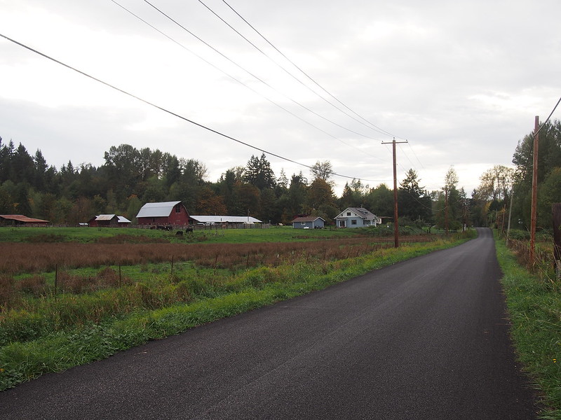
After that, I barreled down Peasley Canyon Road for quite some time, alongside SR-18. At the bottom, I headed along the West Valley Highway all the way to Sumner.
This crisp, cool Autumn morning feels amazing.
— 竹下憲二 (@takeshita_kenji) October 11, 2015
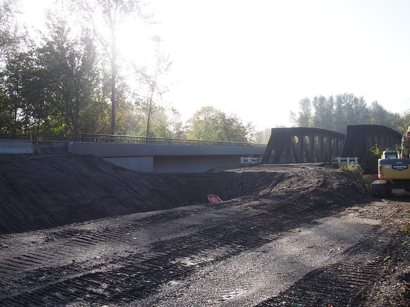
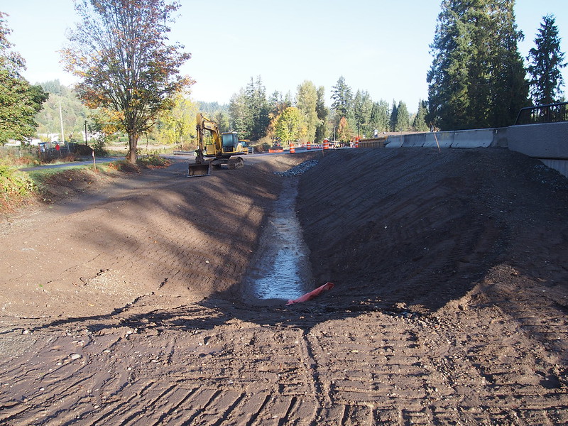
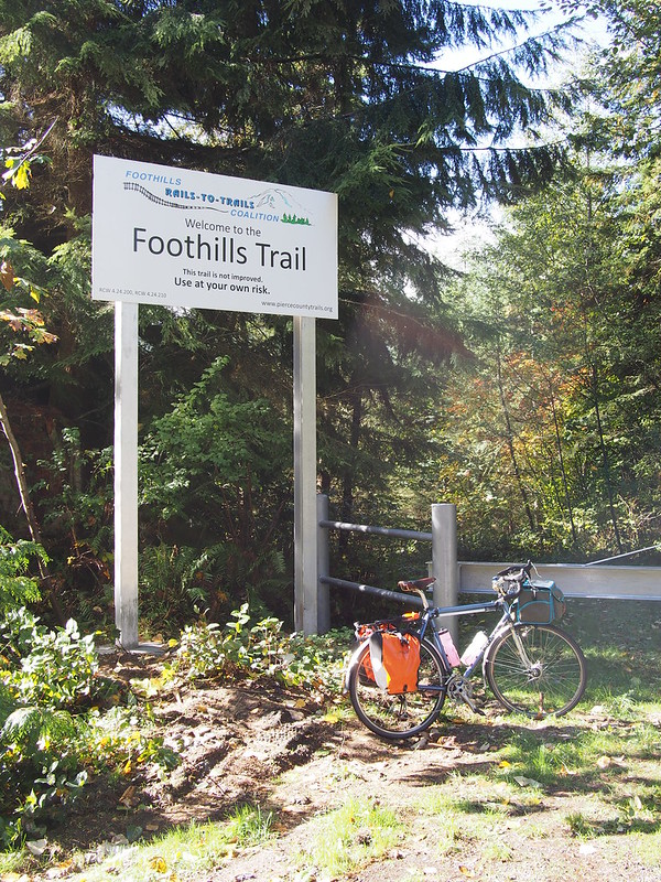
In Sumner, I accidentally stopped in front of the usual Starbucks before realizing that I had no reason to go there, then headed further south along Valley Avenue to get to the Foothills Trail. Once on the trail, I rode to the crossing of the Puyallup River and saw that the highway had been moved over to the new bridge.
Then I continued through to Orting. I didn't stop there, however, as the shop wasn't open yet. And as I kept going along the trail, this wheelsucker kept behind me most of the way to South Praire, though I managed to drop him in the last half-mile.
My pedal stroke is super smooth now, more than ever! I think this fit is working quite well. #cycling
— 竹下憲二 (@takeshita_kenji) October 11, 2015
Lots of tree debris all over the trail from that storm yesterday. #seabikes
— 竹下憲二 (@takeshita_kenji) October 11, 2015
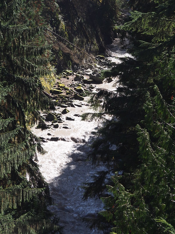
Fishing is a popular activity on the Carbon River.
— 竹下憲二 (@takeshita_kenji) October 11, 2015
In South Prairie, I stopped for a quick refreshment before heading out to start recording my first video. Unfortunately, even though I narrated during the whole time, the camera was unable to pick it up due to its case, so I've subtitled the video.
Now that I've stocked up on water, it's time to head into the mountains!
— 竹下憲二 (@takeshita_kenji) October 11, 2015
Just recorded my first #cycling video with my SJCAM!
— 竹下憲二 (@takeshita_kenji) October 11, 2015
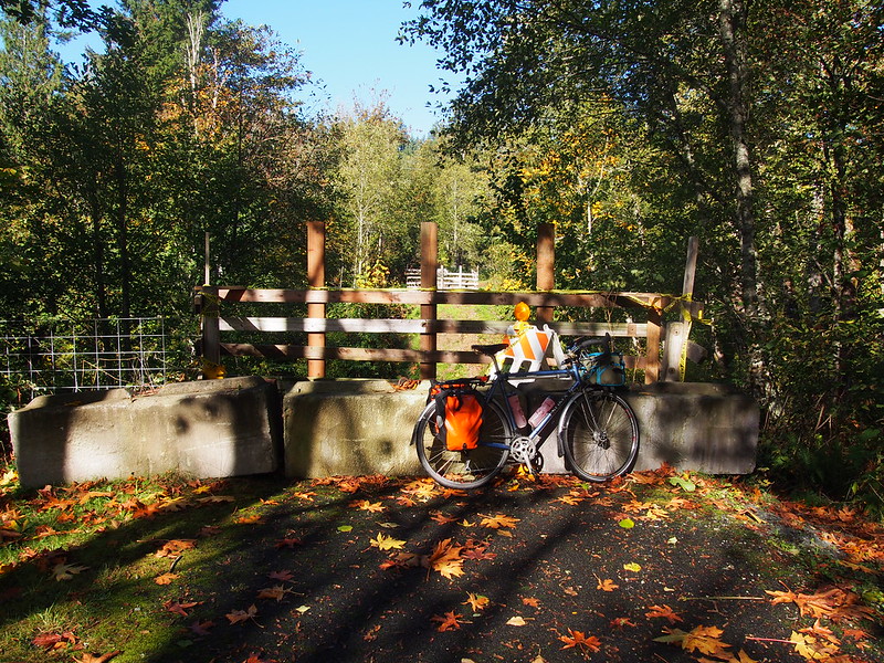
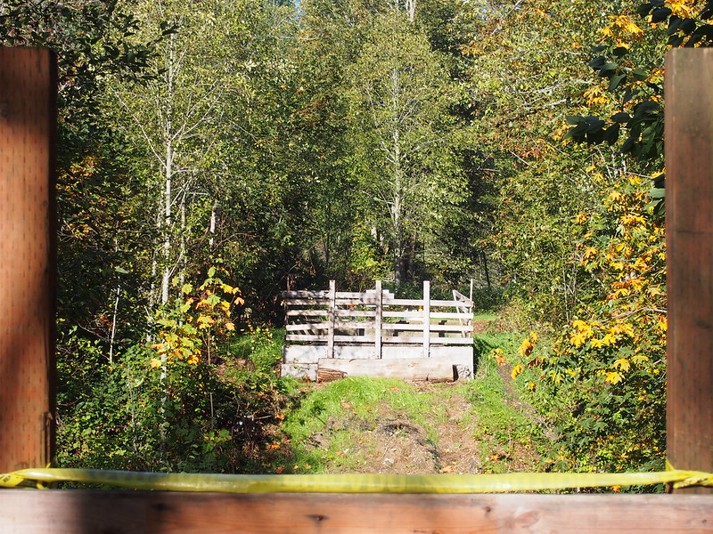
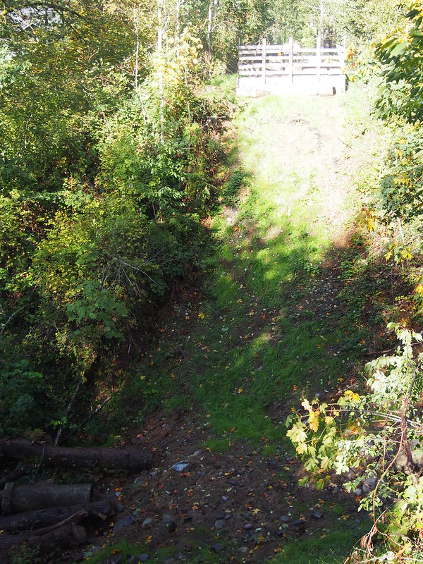
At the end, I noticed that they had removed the downed bridge.
I then headed back to Lower Burnett Road to ride beside South Prairie Creek (incorrectly called "Burnett Creek" in the tweet below) all the way to the end of the road. From there I hung a right and started the 7+% grade climb.
When I was climbing up from Burnett Creek, a dog ran ahead and obviously wanted me to chase them.
— 竹下憲二 (@takeshita_kenji) October 11, 2015
The owner got in their car and gave chase, catching the dog. Rather stern punishment was given to said dog.
— 竹下憲二 (@takeshita_kenji) October 11, 2015
The owner was kind enough to not blame me.
— 竹下憲二 (@takeshita_kenji) October 11, 2015
@librarianbikes Riding a loaded bike quickly up a 7% grade is a bit much.
— 竹下憲二 (@takeshita_kenji) October 11, 2015
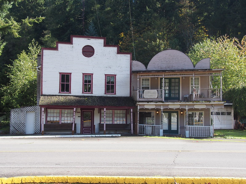
I then passed through Burnett and made my way to Wilkeson. While there, I chatted with a couple of British guys from Portland who were also up in the area to see the national park.
This area is rife with large dump trucks.
— 竹下憲二 (@takeshita_kenji) October 11, 2015
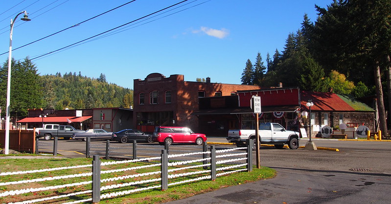
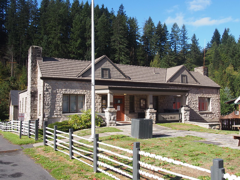
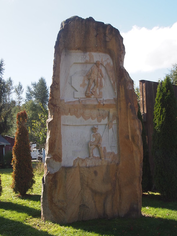
Wilkeson sandstone is apparently pretty popular.
— 竹下憲二 (@takeshita_kenji) October 11, 2015
Next was the steep, shoulder-free climb up to Carbonado. Unlike my last time up there, I just zipped past the town and continued along the highway.
The grades past Carbonado are easier than the grades to there.
— 竹下憲二 (@takeshita_kenji) October 11, 2015
Up there, I saw the branch of the Foothills Trail that goes all the way to Melmont.
There was a group of chaperones and special needs teenagers enjoying a hike along the trail.
Continuing my ride, it was obvious that I was going up the side of a valley.
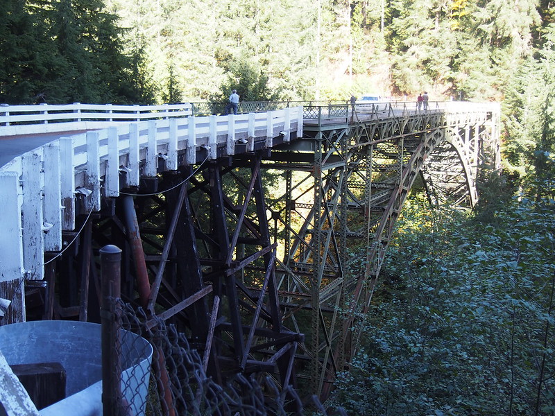
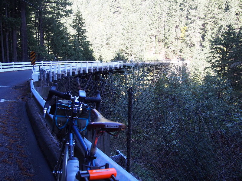
I eventually made my way to the Fairfax Bridge across the river, where a few other groups were checking it out. One of them (a father, his daughter, and their dog) had been hiking along the Foothills Trail.
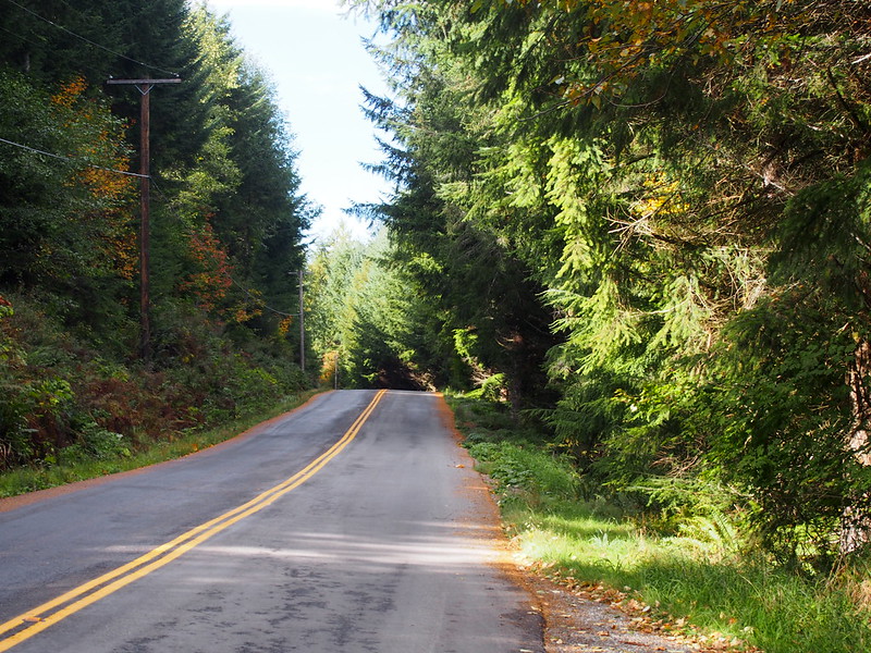
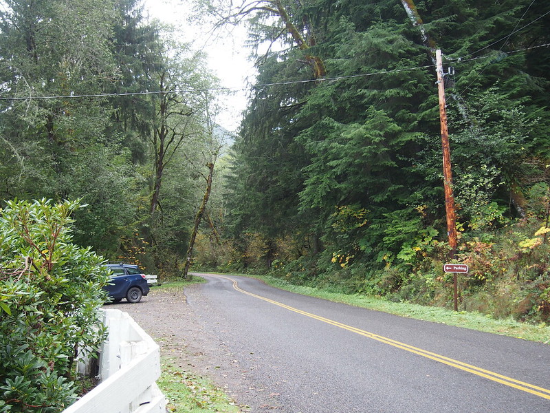
The road just kept going on from there with landmarks spread far apart at that speed.
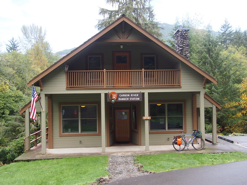
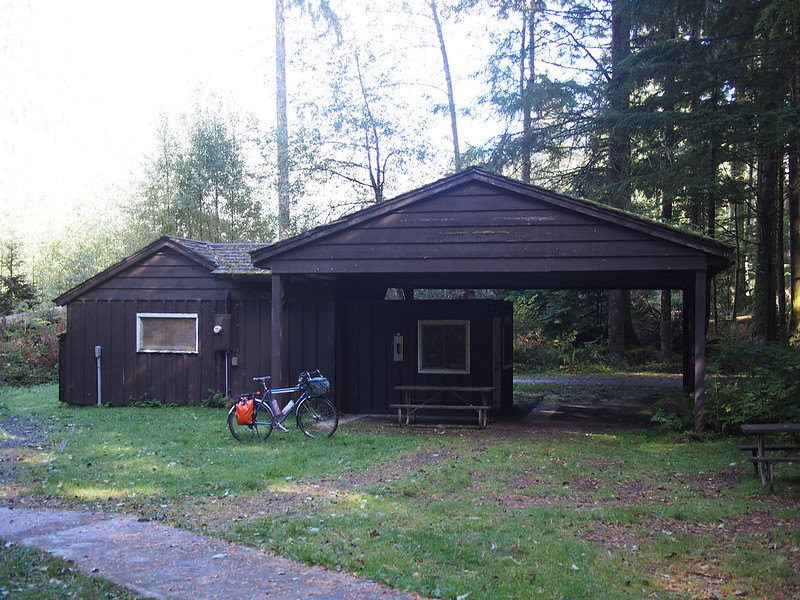
I stopped by the ranger station and learned a bunch of cool things about the area.
— 竹下憲二 (@takeshita_kenji) October 11, 2015
She told me about how roads largely circled Mount Rainier within the park, but were all 35 MPH, and how most of the people visiting the Carbon River Ranger Station only were there because their GPS sent them that way. In reality, they mainly wanted to go to Sunrise or Paradise, which are on other sides of the park. She also knew about the ghost towns of Melmont, Fairfax, and so on. I learned about the popularity of Wilkeson sandstone from her, too. Oh, and how SR-165 is the road to Lake Mowich, while the road I was on was Fairfax Forest Reserve Rd E.
The branch of the Foothills Trail up there ends at the ghost town of Melmont.
— 竹下憲二 (@takeshita_kenji) October 11, 2015
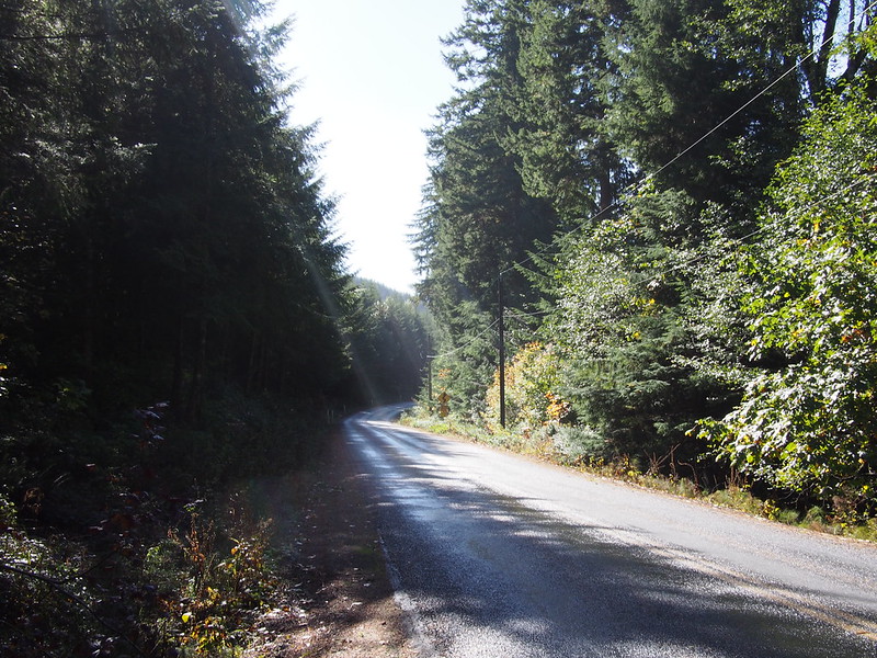
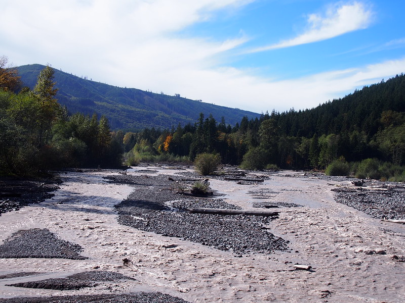
From there, it was largely a descent into the Carbon River valley.
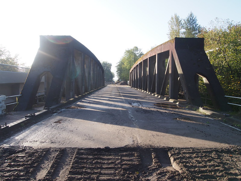
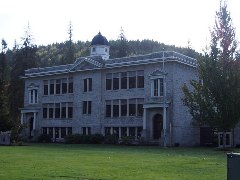
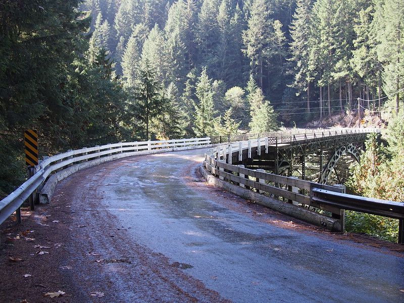
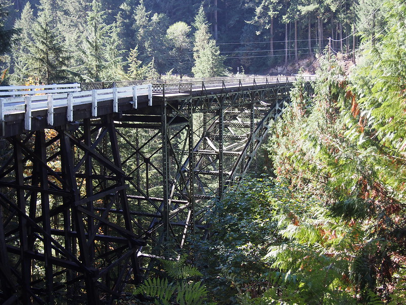
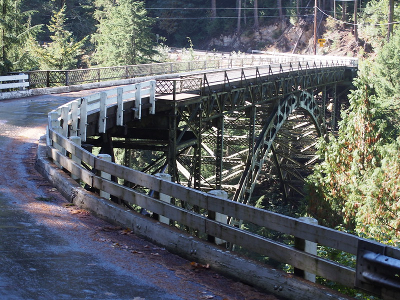
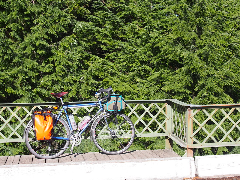
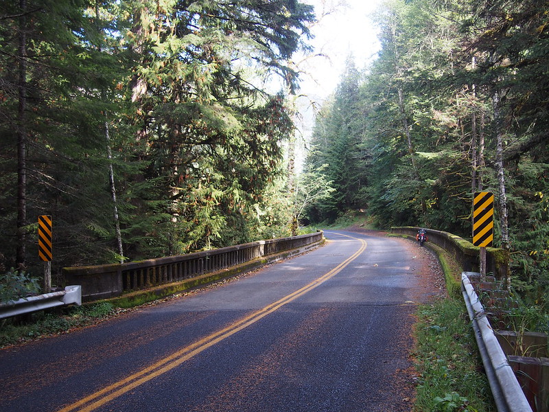
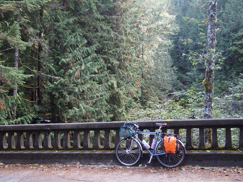
Once in the valley, I noticed a cool bridge off to the left. While I was on it, a older lady enjoyed a laid-back ride across it and back on her bike.
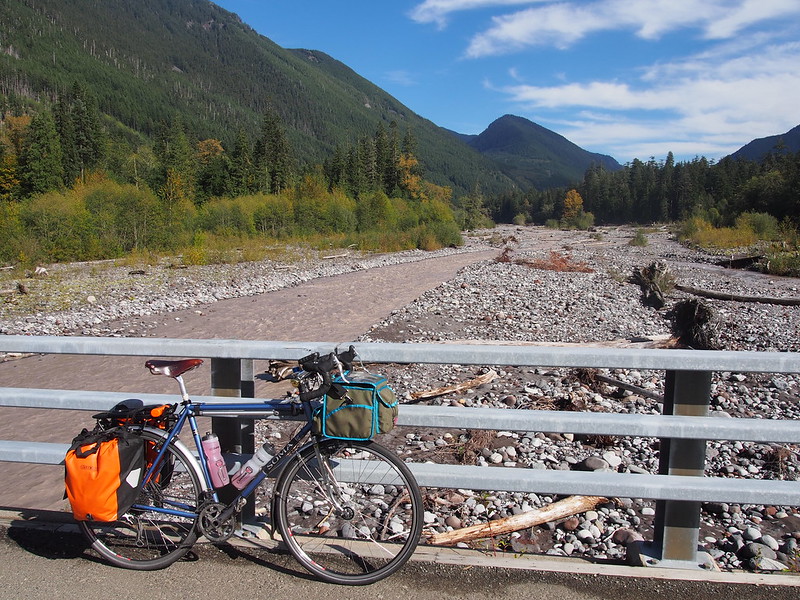
As well a nice, wide view of mountains including Old Baldy Mountain and friends.
Gunfire was pretty much constant up there.
— 竹下憲二 (@takeshita_kenji) October 11, 2015
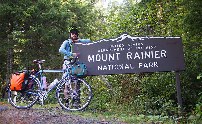
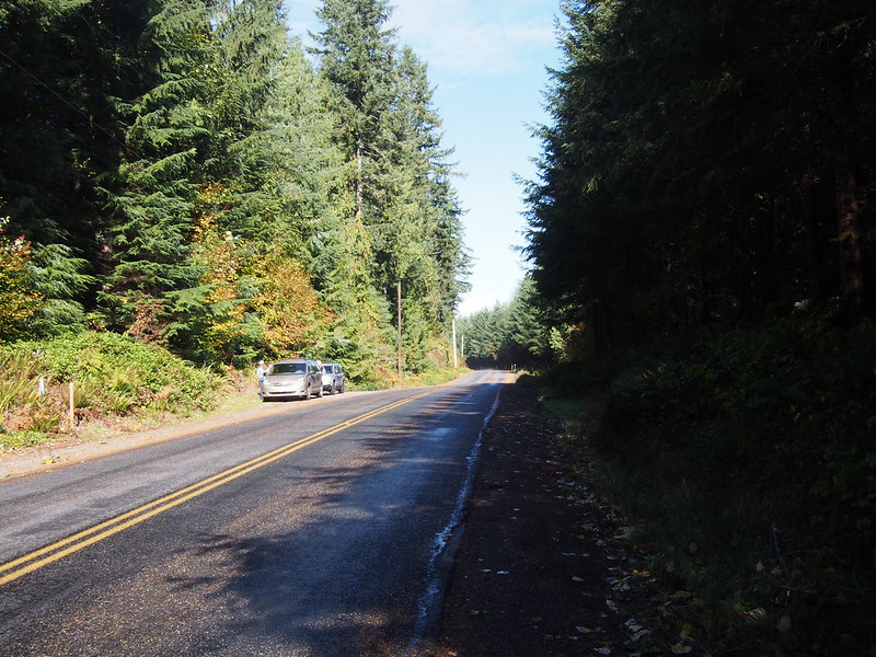
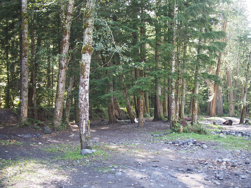
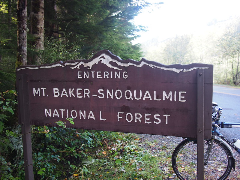
It was only a short jaunt over to get into the national park itself.
You can't actually see Mount Rainier from the Carbon River Trail.
— 竹下憲二 (@takeshita_kenji) October 12, 2015
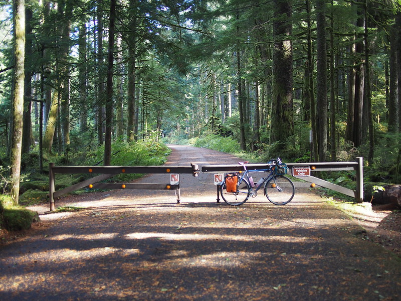
Once at that last gate, I just turned back due to time constraints.
Decided to turn back at the national park parking lot since I have limited time. Going to see how far I can get by 18:00, will bus after.
— 竹下憲二 (@takeshita_kenji) October 11, 2015
.@WAbikes Yep. Too bad I can't do as much as I'd hoped due to work. At least I got the hard miles in; can skip easy ones.
— 竹下憲二 (@takeshita_kenji) October 11, 2015
Part 3: Inbound
The ride back down the road was pretty brisk, though I did see more cars as it was later in the day.
Once back in Carbonado, I made the left to head into town.
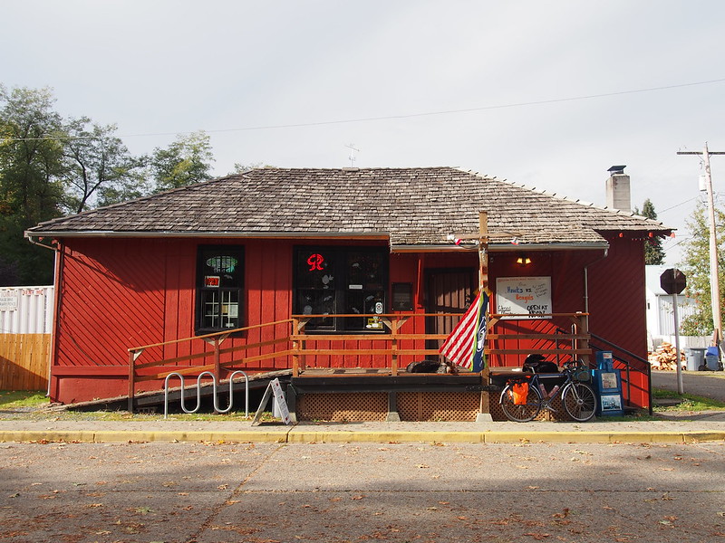
Hit up the Carbonado Saloon for some non-alcoholic refreshments.
— 竹下憲二 (@takeshita_kenji) October 11, 2015
To exit Carbonado, I took one of the back roads, though not the same as the one from last time.
This took me to the highway for the descent into Wilkeson, where I felt bad as a truck was stuck behind me due to the lack of shoulder. Thankfully, I left the highway again once out of Wilkeson and barreled down the fast way into South Prairie. From there, I took South Prairie–Carbon River Road instead of the trail, which was more fun due to the rolling hills.
I zipped through Orting on my way to Sumner, where I decided to call the ride pretty much over since I had work the next morning.
Going to cut my losses and take the bus back from here. (@ Sumner Station in Sumner, WA) https://t.co/t5WKThhu0N
— 竹下憲二 (@takeshita_kenji) October 12, 2015
Since I had 40 minutes and needed to use the restroom, I looked for a place that was open where I could do so.
The only place open. (@ Trackside Pizza in Puyallup, WA) https://t.co/32j4dIWFwe
— 竹下憲二 (@takeshita_kenji) October 12, 2015
I only had a salad there, as I didn't have time for a pizza.
After all that, no joint issues; only muscle wear.
— 竹下憲二 (@takeshita_kenji) October 12, 2015
I had no trouble making the 578 and had a peaceful ride back to Seattle.
When I originally planned this ride, I had targeted the 578. It started too late, unfortunately. It's coming through for me now.
— 竹下憲二 (@takeshita_kenji) October 12, 2015
— 竹下憲二 (@takeshita_kenji) October 12, 2015
(I passed through Federal Way again on my way back north.)
Sound Transit really did me a solid today: the existence of the 578 makes the Sounder schedule less painful.
— 竹下憲二 (@takeshita_kenji) October 12, 2015
Part 4: Return Home
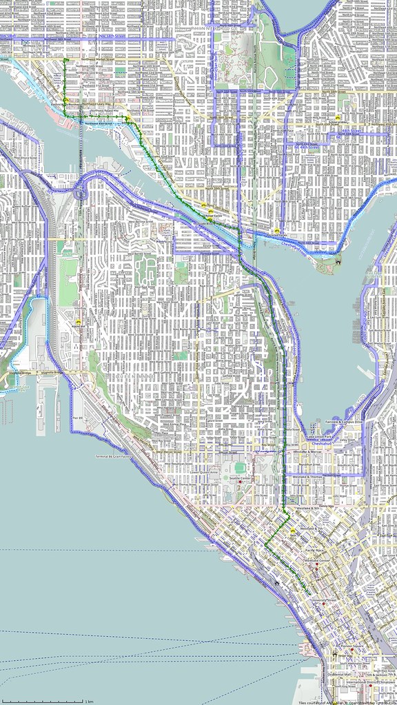
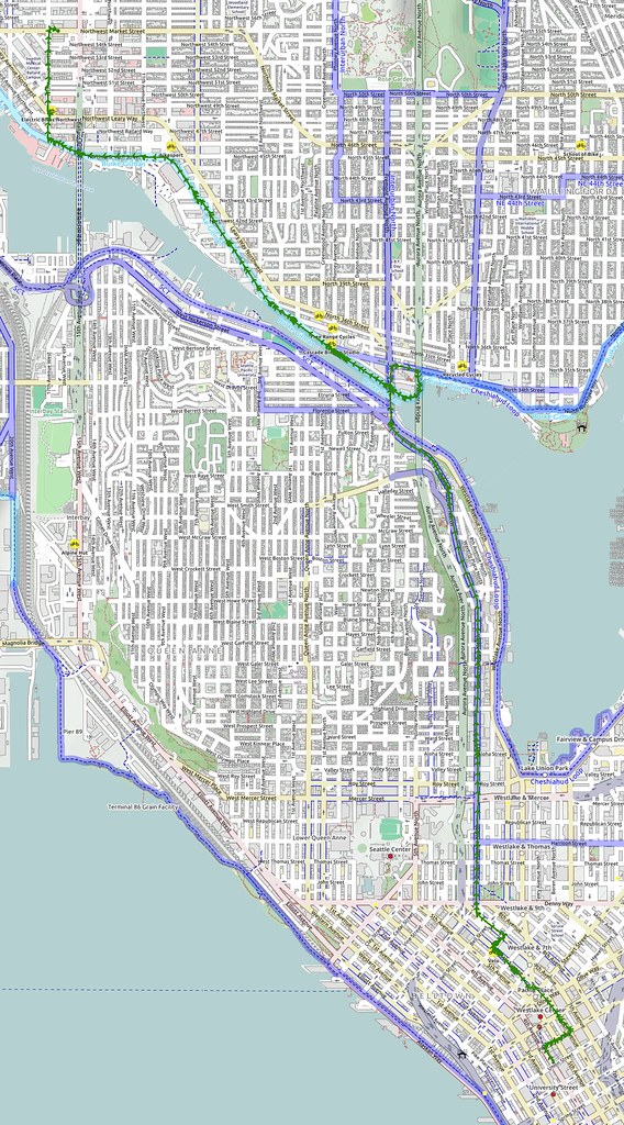
Once back in Seattle, I simply took my normal route home. I was surprised to see the bus's first stop so far north in downtown; I didn't even have to climb anything before Dexter!
The Brooks B17 Special is officially my favorite saddle now. #cycling
— 竹下憲二 (@takeshita_kenji) October 12, 2015
The thicker leather seats in so much better and lasts longer!
— 竹下憲二 (@takeshita_kenji) October 12, 2015
Only when combined with technique will stamina really shine. #cycling
— 竹下憲二 (@takeshita_kenji) October 12, 2015
My hamstrings were hit pretty hard on today's ride. Might as well use every muscle I can!
— 竹下憲二 (@takeshita_kenji) October 12, 2015
I got home at a reasonable hour and was able to perform my tasks at work just fine the next morning.


No comments:
Post a Comment