The last town before Mount Rainier.
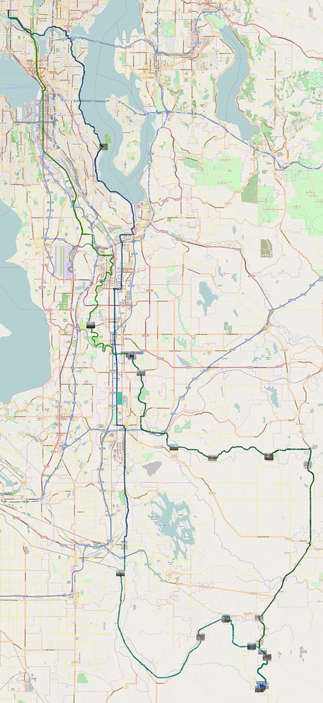
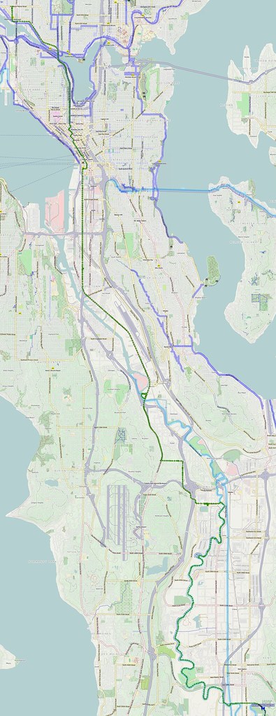
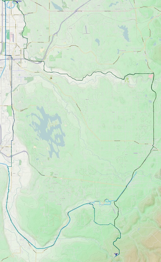
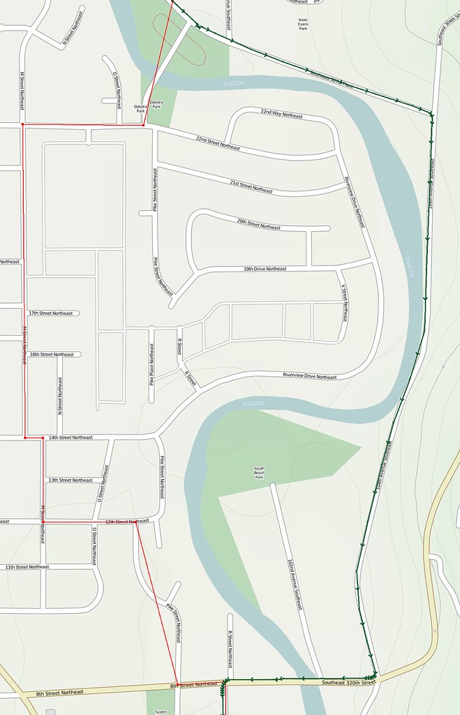
The actual map for yesterday's 131-mile ride. http://t.co/vTfdW94D4y #cycling
— 竹下憲二 (@takeshita_kenji) January 26, 2014
Part 1: To Green River Valley
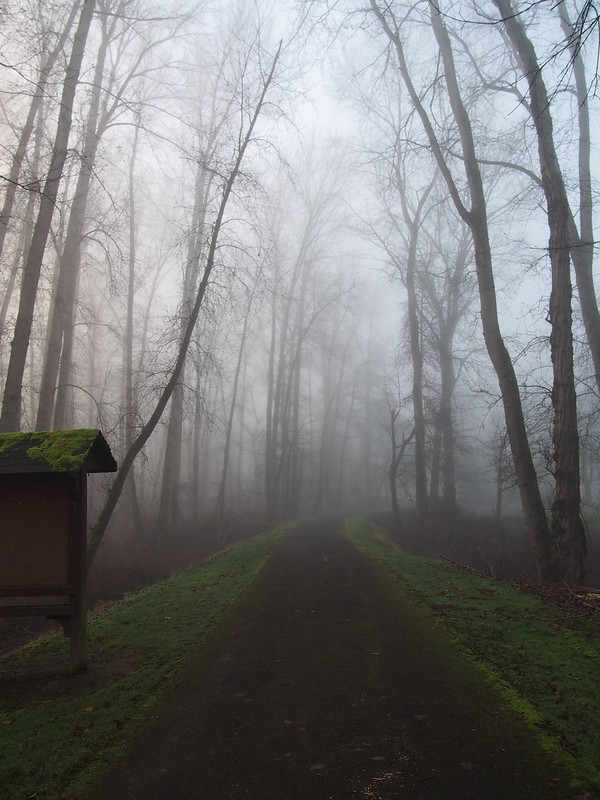
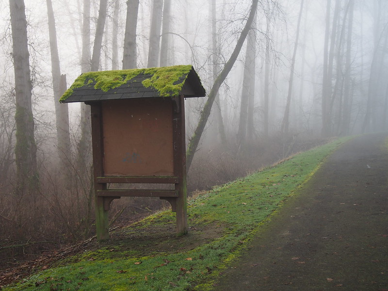
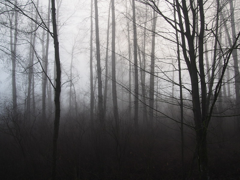
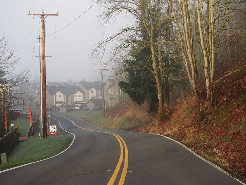
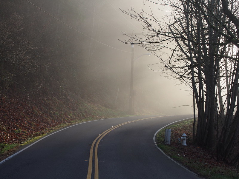
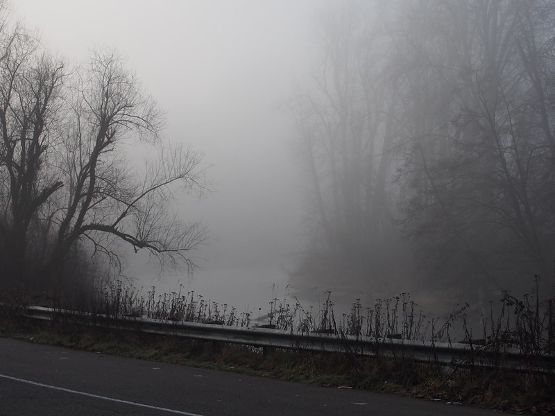
I started at about 05:00, with fog everywhere.
Way too much fog today.
— 竹下憲二 (@takeshita_kenji) January 25, 2014
My original plan was to go via the Green River Trail starting at 112th Street like last time, but when I got to the trail, the fog was too thick for my lights to help enough on the narrow pavement. I was thinking, "Bicycle trails sure would be better if they had white lines painted beside the verges."
I went back to SR-99, then managed my way up the slog of Tukwila International Boulevard (itself the decommissioned alignment of SR-99), where some guy in a muscle car blared his horn at me.
I ended up taking Tukwila Int'l Boulevard because the trail was too dangerous when it was dark and foggy.
— 竹下憲二 (@takeshita_kenji) January 25, 2014
Some drivers start honking when they have to move over a couple feet even though there aren't any other cars around. #cycling
— 竹下憲二 (@takeshita_kenji) January 25, 2014
I was seeking a route to head east, down the hill, and closer to the Green River Trail. This took me to Klickitat Drive over SR-518, and then to Strander Boulevard, which I recognized from last time. I had to deal with some stoplights that just wouldn't change.
I had worn a fleece vest among my four layers of clothing this time, but my hands ended up even colder than last time due to the thick fog. I had to stop at the Starbucks from last time to warm up with black tea. Next time, I'll try the handwarmers I got a while back as well.
The vest didn't help too much at the beginning.
— 竹下憲二 (@takeshita_kenji) January 25, 2014
I'm at Starbucks (Seattle, WA) http://t.co/x85M3eJpKv
— 竹下憲二 (@takeshita_kenji) January 25, 2014
The ladies behind the counter were also a bit surprised about how foggy it's been over the past few months. I sent an e-mail to Cliff Mass asking if he had noticed it too.
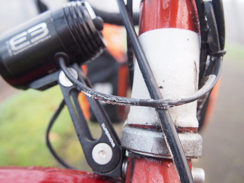
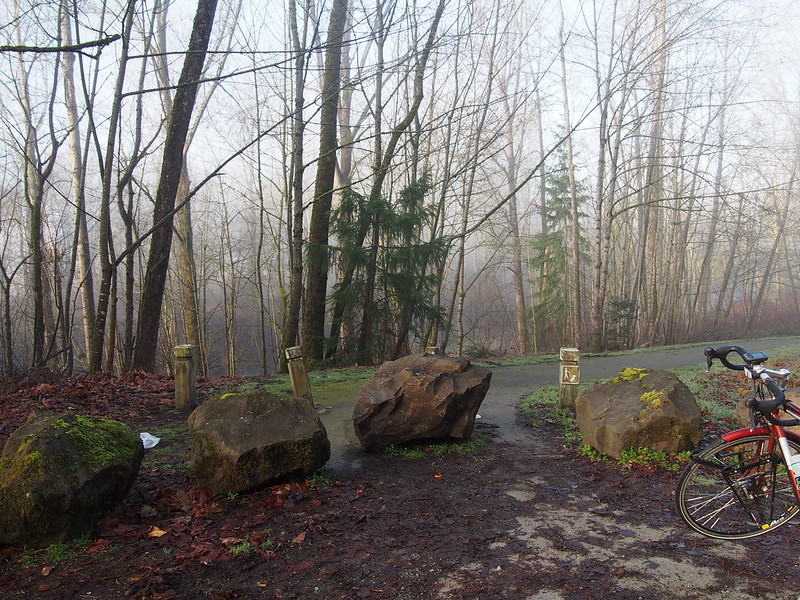
I went back to the trail after this, as the Sun was high enough to provide illumination. It was still cold, however. When I stopped to photograph a section of the trail I didn't get last time, I discovered thin layers of sheet ice:
Ice has been forming on my gloves, bike, and other things exposed to the wind. That includes my rear brake cable. #cycling
— 竹下憲二 (@takeshita_kenji) January 25, 2014
I'm actually used to my rear brake cable getting stuck due to ice, as it's done that in cold fog on some of my other rides. I already know how to handle it.
I stopped to make use of a porta-potty along the trail, only to hear it lock shortly after I got there. Some guy was in there, and I didn't see him get out after a good deal of time.
Rather than hitting the Interurban Trail as I had before, I instead got over to the road paralleling the Green River Trail (which I soon found out was actually a detour for the trail).
This would take me to the very end of the Green River Trail.
Part 2: The Foothills
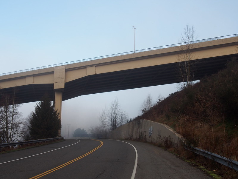
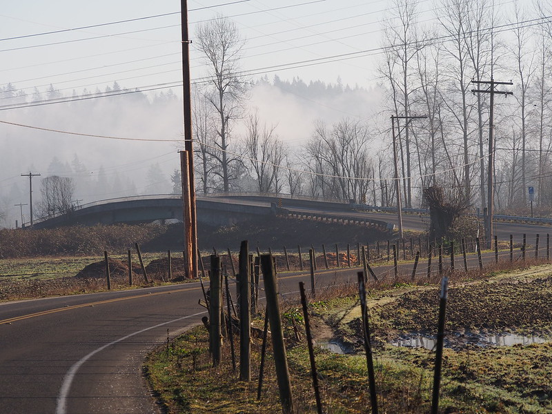
The first thing of note I saw once I got past the end of the trail was a very steep paved trail perpendicular to the road I was on, whose route north from said road went up to join the road this bridge carried.
I rode by some small farms and parks along the river. Once I got to Auburn, Google Maps told me to take a strange route.
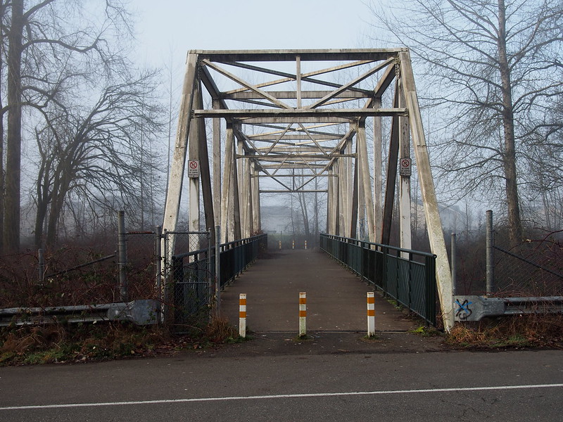
I had to ignore Google Maps when it told me to go through a park and cross a pedestrian bridge, though.
— 竹下憲二 (@takeshita_kenji) January 25, 2014
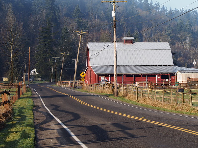
After passing through the eastern edge of the developed area of Auburn, I started to see some wholly new scenery. (Whenever I go through an area, I always get some sort of feeling I can't describe. This area had a feeling that didn't really match anything from past rides.) The pavement quality deteriorated immediately past the Auburn city limits.
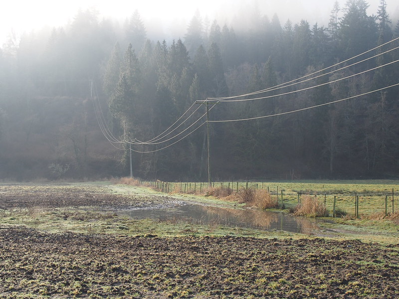
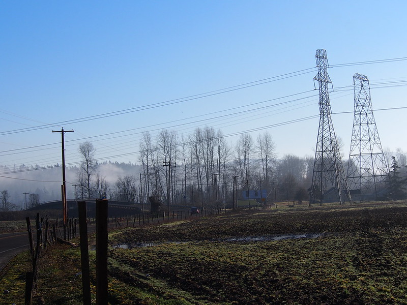
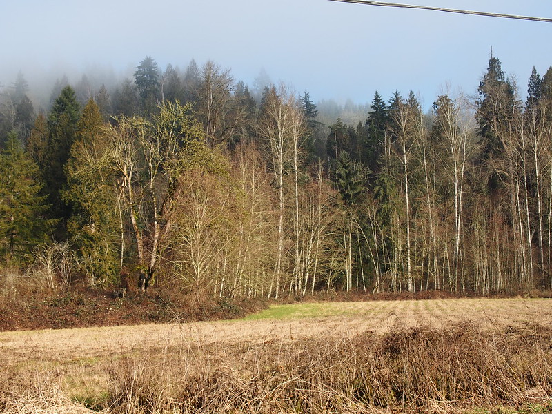
Around this area, I hit the edge of the fog. The valley itself became nice and sunny as I continued.
I exited the fog when I got to the Green River Valley.
— 竹下憲二 (@takeshita_kenji) January 25, 2014
I also received a reply from Cliff about the fog: he said it was because of a very stubborn and strong trough in the area.
I sent an e-mail to Cliff Mass while on my ride yesterday asking about the fog, and he said it's the foggiest year he can remember.
— 竹下憲二 (@takeshita_kenji) January 26, 2014
I'm surprised none of my cycling friends have ever told me how awesome Green River Road and the Green River Valley are.
— 竹下憲二 (@takeshita_kenji) January 25, 2014
Shortly after, when I stopped to eat, I realized that I had lost one of my lens's caps.
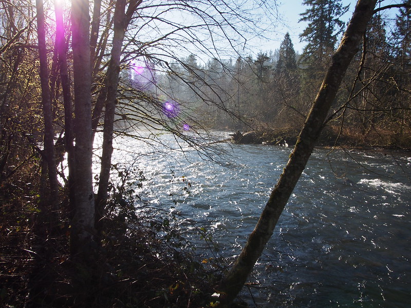
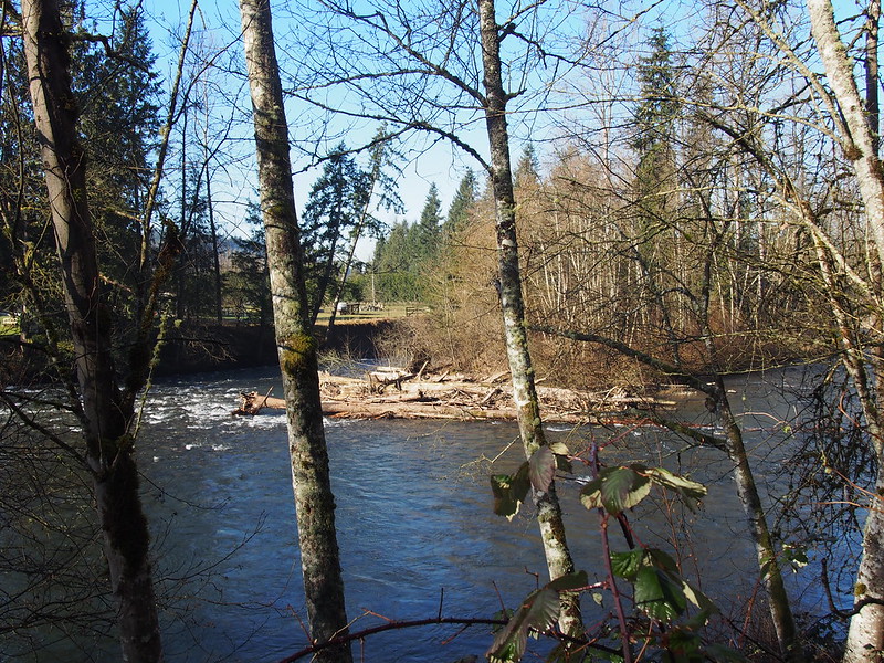
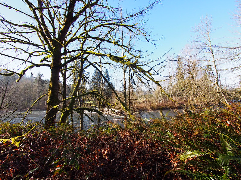
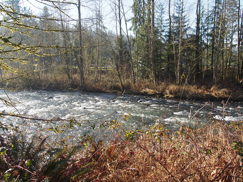
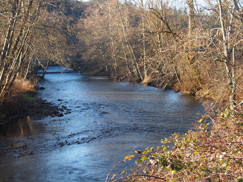
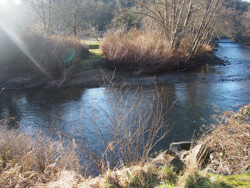
I stopped near Flaming Geyser State Park to capture some photos of the Green River just before I would exit the valley.
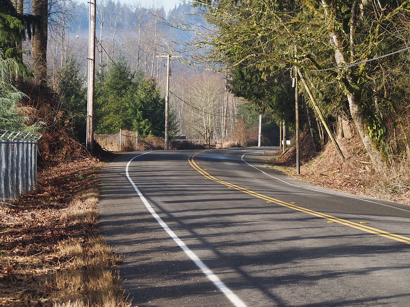
The first climb of the valley was quite the slog. My body heat was finally building up to the point where my vest was more an impediment than an asset. I noticed that my map for the road I was climbing wasn't correct, but my directions were.
I saw a Cannabis farmers' market near SR-169 where it crosses the Green River.
— 竹下憲二 (@takeshita_kenji) January 25, 2014
There was also this strange water flume near it leading down to the river.
— 竹下憲二 (@takeshita_kenji) January 25, 2014
Around here, I started to heed the advice from some of my cycling friends whenever my toes go numb: I began to teach myself how to lift one foot off of the pedal while coasting to allow the blood to flow. I would eventually get comfortable with doing it for either foot later on this ride.
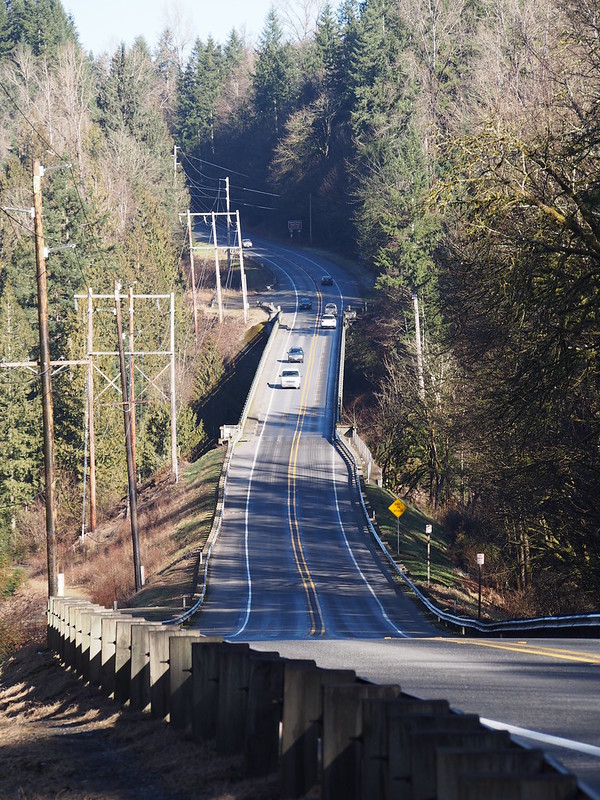
I then descended the infamous bridge from an earlier ride, though it was downhill this time since I was heading south.
When I stopped to eat on a gravel area, I accidentally bit my tounge so hard while chewing that it bled. It still is annoying a few days later.
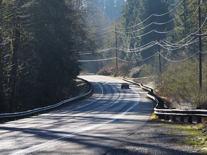
After finishing, I completed my second climb out of the valley. This one was straight rather than winding, but was still pretty tough.
The two climbs out of the Green River Valley/Canyon were pretty challenging, but not in a bad way.
— 竹下憲二 (@takeshita_kenji) January 25, 2014
I stopped in Enumclaw for water. I didn't take any photos because I got the feeling that people don't like photography on pastrides.
I'm at Plateau Expresso (Enumclaw, WA) http://t.co/3JKp8iBBOR
— 竹下憲二 (@takeshita_kenji) January 25, 2014
After taking SR-410 through both Enumclaw and Buckley, I left it for SR-165. I didn't make use of the Foothills Trail since it's not really complete between Buckley and South Prairie.
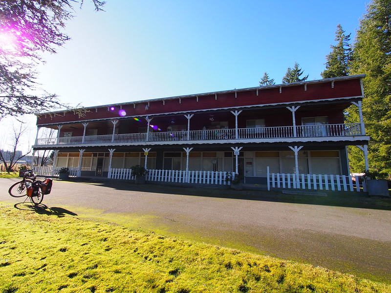
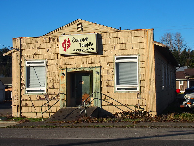
I passed through Burnett, but didn't take any photos this time since I wanted to keep going. Next time, I certainly won't miss the opportunity. I did come across this odd apartment building in the middle of nowhere, though:
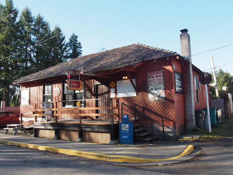
As I kept on going, I came across a sign for the Carbonado Saloon, which said it was "2 miles above Wilkeson," which showed that I was certainly going up into the mountains now!
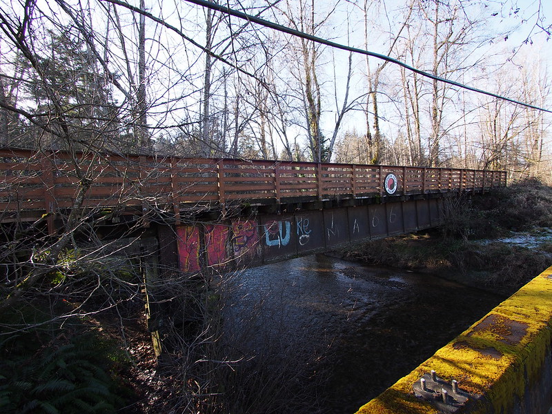
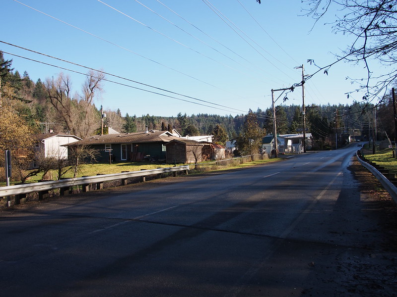
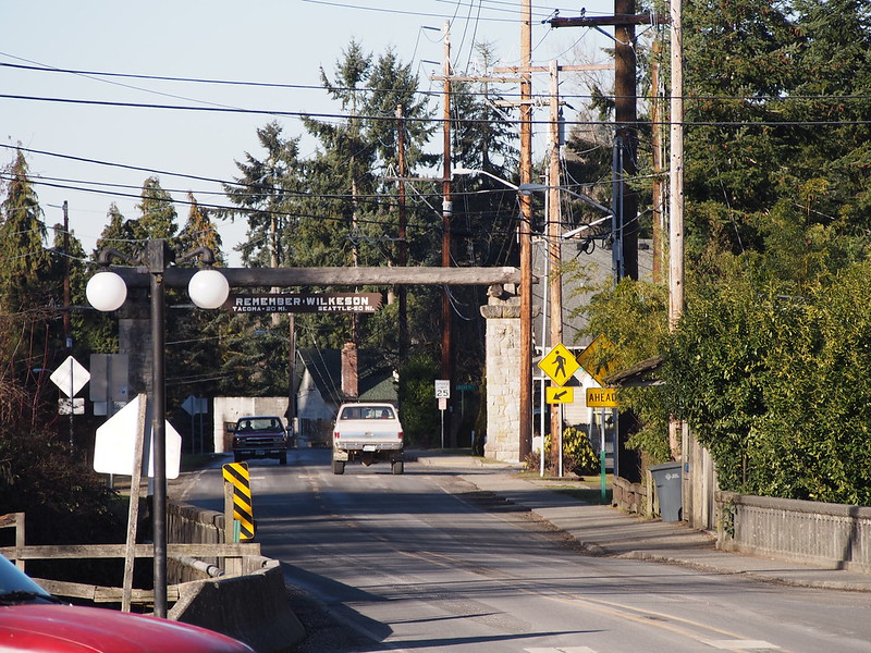
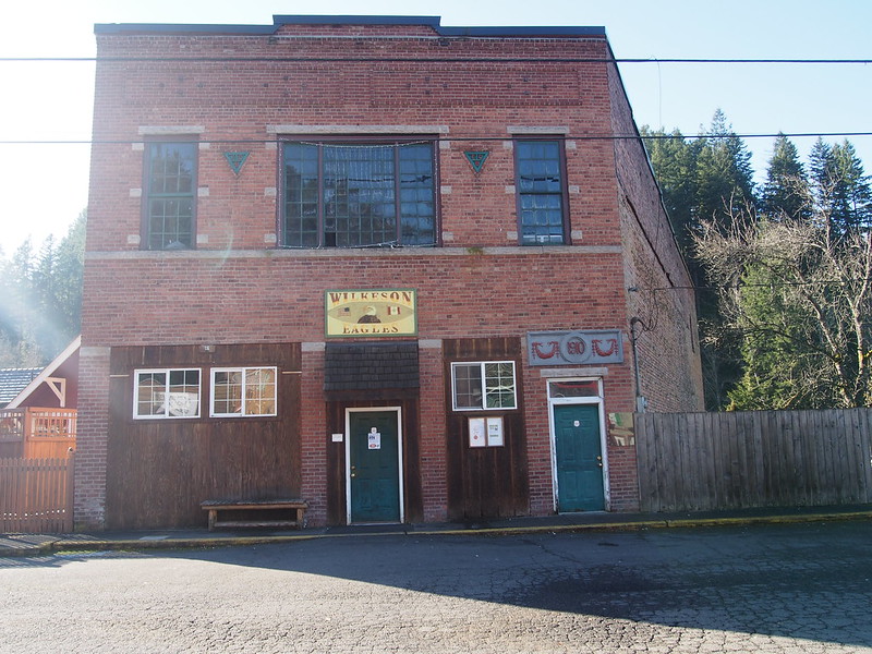
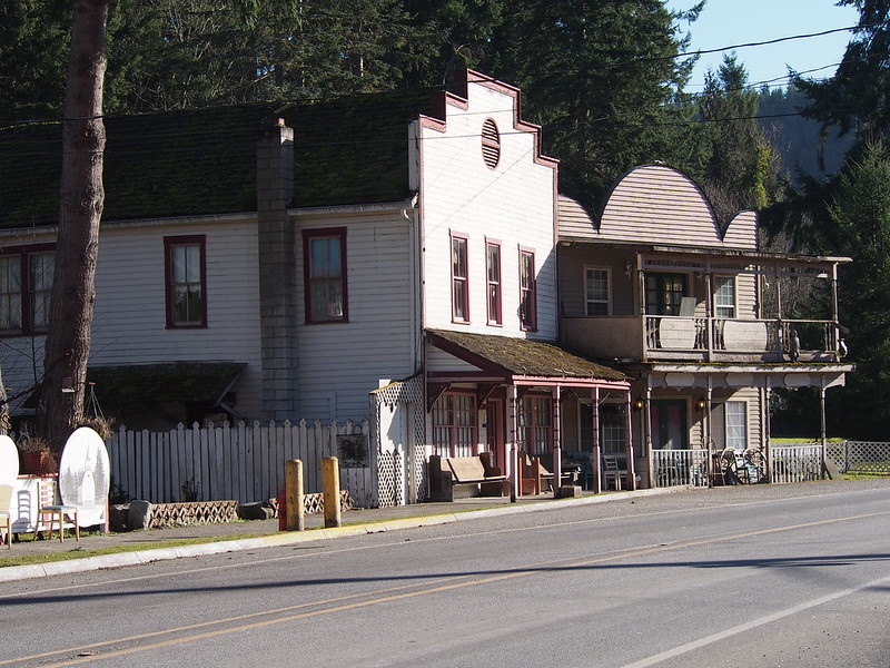
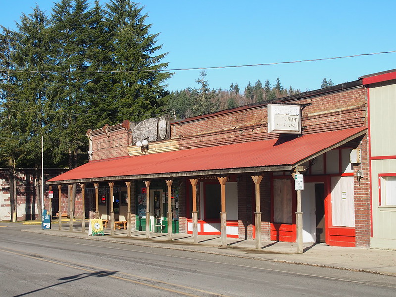
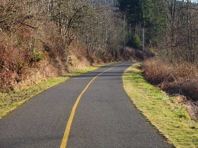
Next up: Wilkeson. This little town was the last 'town-like' development I'd see beyond a bunch of houses. Part of the outermost reaches of the Foothills Trail was here too, all covered in moss since it doesn't connect to anything and sees little use. The trail did have some fancy bridges along it, leftover from the old railroad.
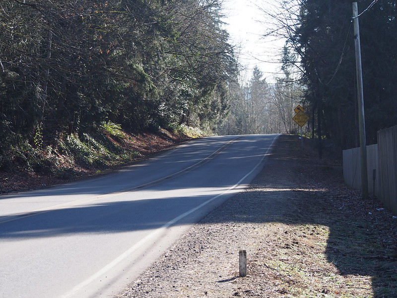
The last couple of miles up the hill were pretty slow, but I made it to Carbonado without issue. Its name refers to "black diamond," which is oddly the name of a city in King County which I've passed through by bicycle and have visited properly via MEHVA.
Just picking up some carbon. (@ Carbonado) http://t.co/rnmbyedw4X
— 竹下憲二 (@takeshita_kenji) January 25, 2014
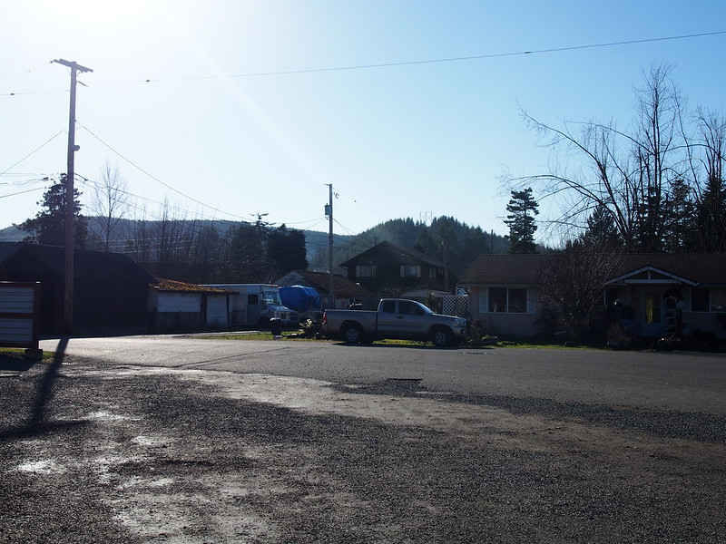
There is the middle of nowhere, and then there is here.
— 竹下憲二 (@takeshita_kenji) January 25, 2014
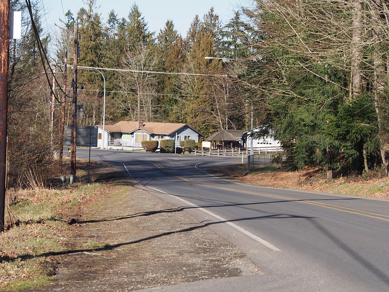
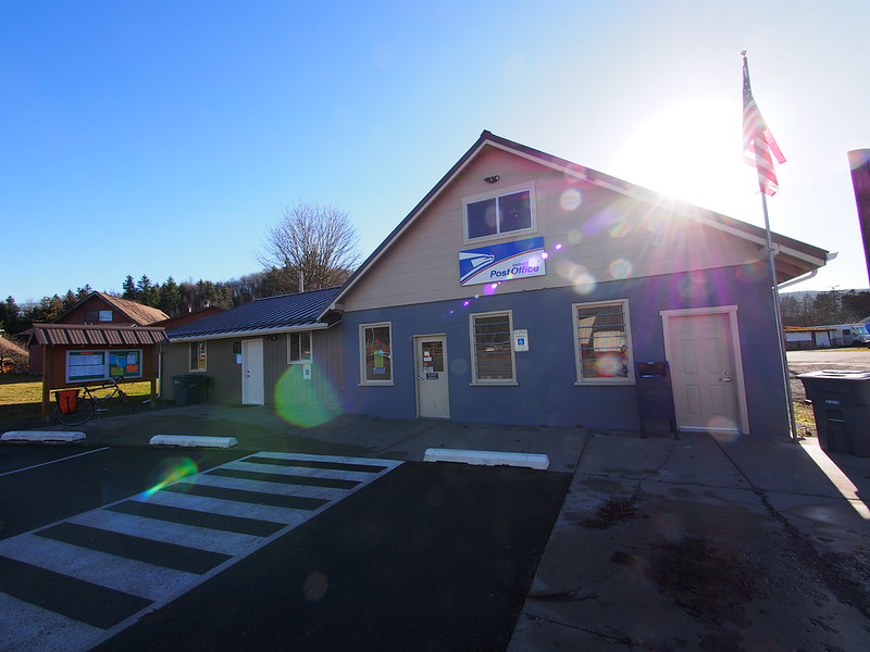
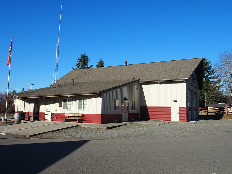
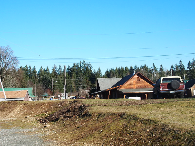
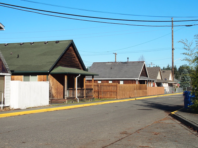
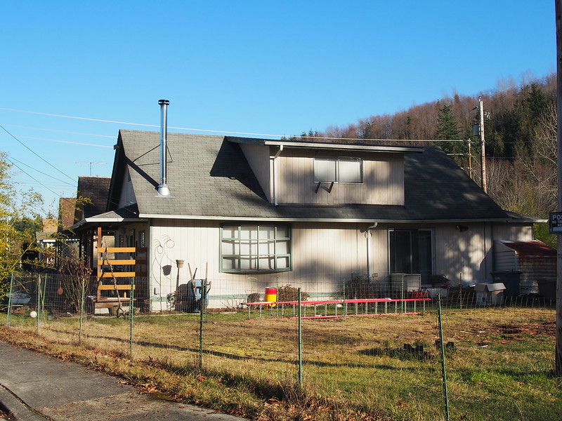
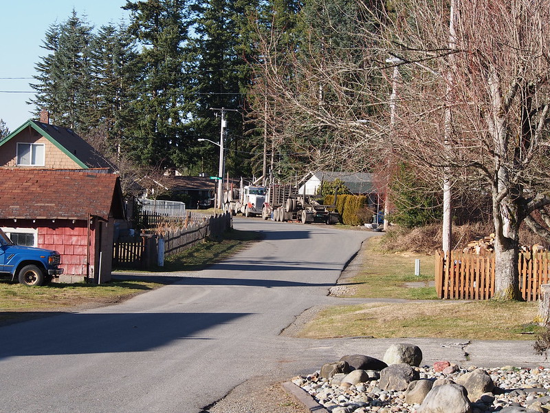
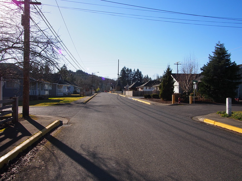
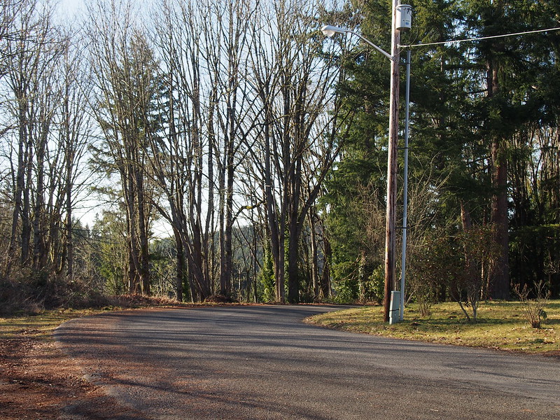
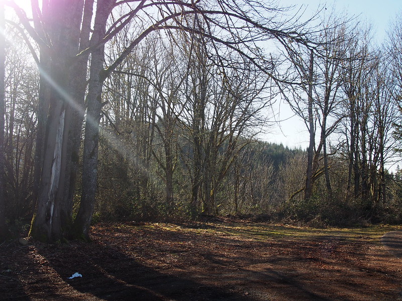
There was nothing more than houses, a post office containing the town hall, and a fire station. Considering this was originally a company town run by coal companies, it kind of made sense.
Oh yeah, I also came across that saloon at the edge of town.
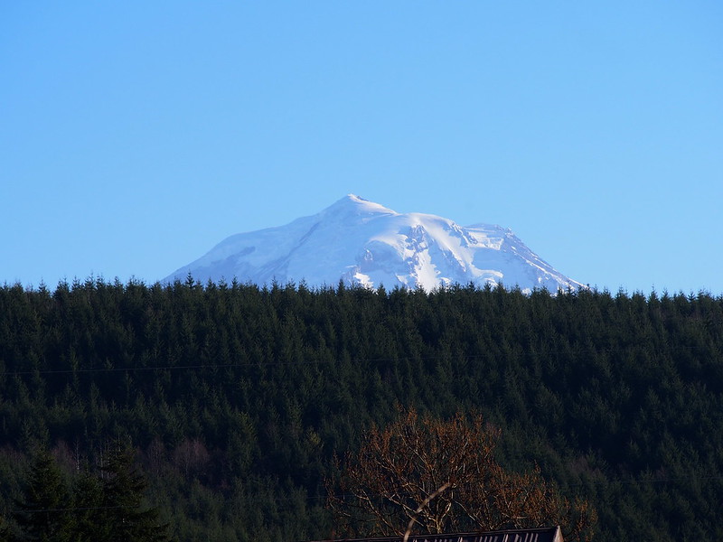
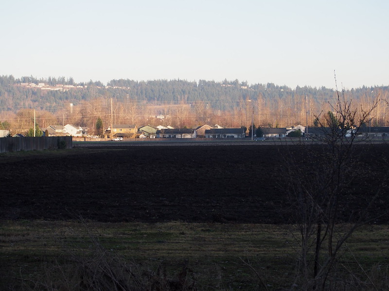
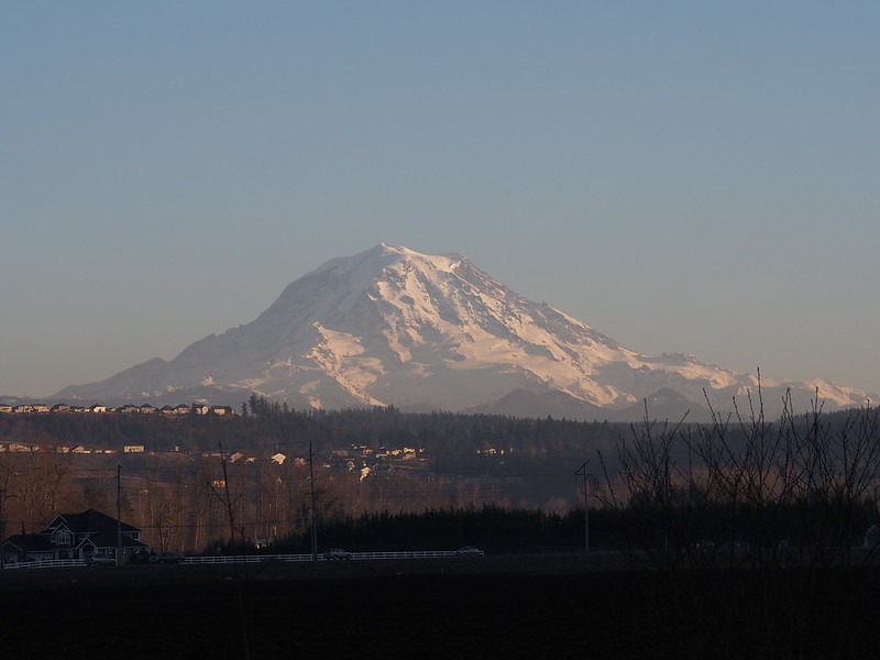
And Mount Rainier, obscured by the local hills.
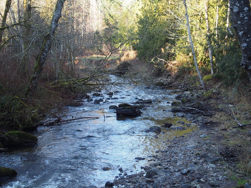
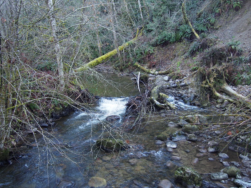
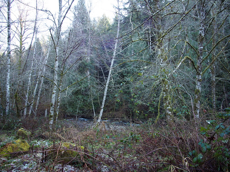
Rather than taking the same route back, I only rejoined SR-165 for the speed run down to Wilkeson, then left it for a smaller road. This road was rather hilly, and the pavement was in very poor shape. Unlike the cracked and pitted concrete in Seattle, this was worn chipseal with very little consistency in quality. I did get some photos of Wilkeson Creek when I crossed over a small bridge, despite wanting to be quick.
After that, there were some rolling hills mixed with speed runs, ending with the fastest one right into South Prairie (known from pastpast rides.
When I got to the trailhead, I chatted a bit with this older man who had a dog on his bike. A woman who I presumed to be his wife was on a recumbent tricycle just like his. He asked me if I was intending to get back to Seattle before dark, but we both knew that was impossible.
I saw an old couple on recumbent trikes in South Prairie.
— 竹下憲二 (@takeshita_kenji) January 26, 2014
The guy, who had a dog in a basket in his bike's rack, implied that he's gone on rides spanning thousands of miles with the dog up there.
— 竹下憲二 (@takeshita_kenji) January 26, 2014
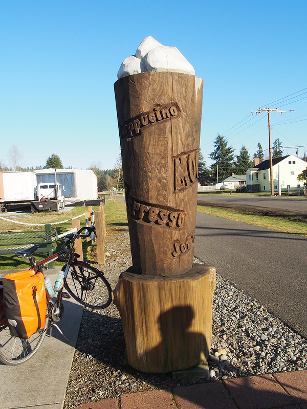
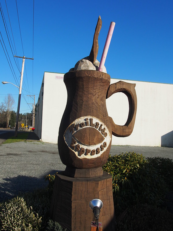
After taking care of business at the trailhead, I headed toward the local trailside espresso stand, and unlike my last time through here, the statue was no longer knocked over:
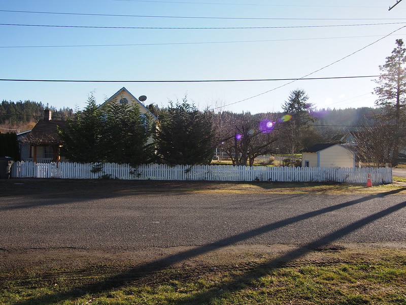
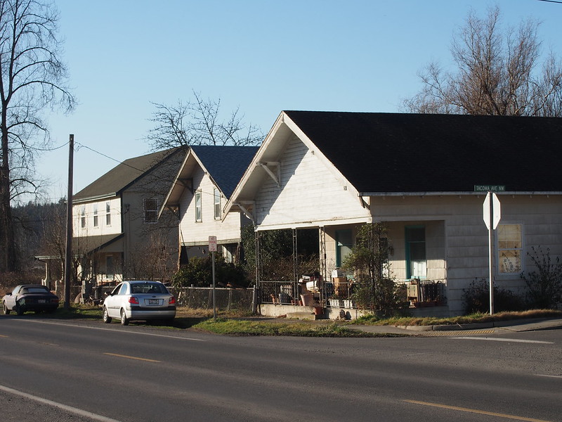
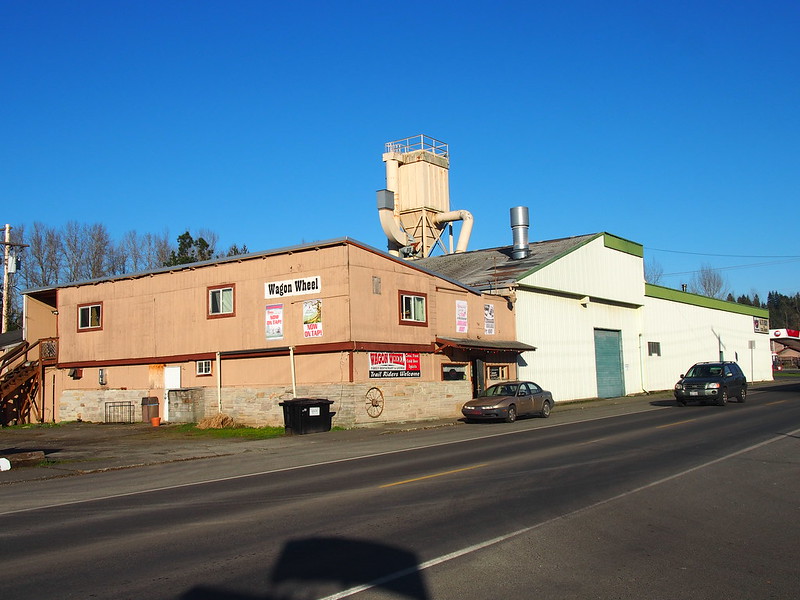
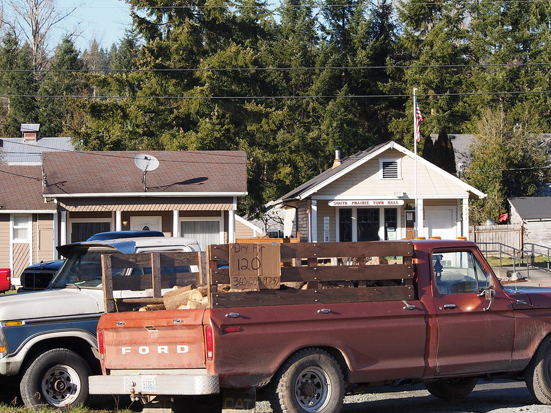
I also got some more photos of the 'downtown,' since I didn't have a full complement of lenses when I last got photos here, and didn't take as many photos previously.
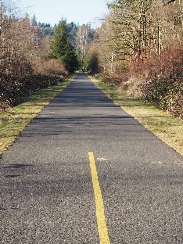
From there, I blazed along the Foothills Trail.
I came across the couple again, but the man made a left onto a road while the woman continued along it. I wasn't quite sure what was going on, since there aren't any roads paralleling the trail on the left side at that point.
I recall the guy making a left off of the trail while his wife continued along or. It was strange because the roads are pretty sparse there.
— 竹下憲二 (@takeshita_kenji) January 27, 2014
The trail started becoming really busy once I got closer to Orting, and a lot of folks weren't really aware of their surroundings. Before everyone starting spending all their time indoors and in built-up places, didn't people have to be more wary of what was going on around them? Have we lost touch with what it means to be in tune with our surroundings?
On the last segment of the trail, I came across another recumbent trike rider with a small dog on his bike's rack-mounted basket. It couldn't have been the guy from before, but I asked anyway. He couldn't understand me so I dropped the subject and just continued on.
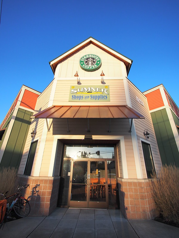
As before, I joined up with the highway before the trail veered off to the west and headed to Sumner, to the same Starbucks. Thankfully, it wasn't dark out already.
Getting ready for my infamous Big Boost. (@ Starbucks) http://t.co/8DfZpeXoPp
— 竹下憲二 (@takeshita_kenji) January 26, 2014
The lady behind the counter recognized me from my last time here.
Part 3: Return Home
With caffeine in my system, I started the long trek back home. I stuck to the East Valley Highway like last time, but I kept on it all the way to downtown Auburn.
At one point, one car moved to the left from my view to go around me, and a car going the other way blared their horn due to the lessened clearance. On my rides into the "deep rural" areas, most drivers are smart enough to scoot over to the left from my view to make room. This is one thing that sticks in my memory with respect to suburban and rural drivers.
In downtown Auburn, I made my way to the Interurban Trail. Last time, I had to make two lefts while on busy highways due to there being a limited number of ways across the railroad mainlines, which wasn't fun. I wasn't able to make it over to the left this time either, but I made something of a two-stage left turn by making a right followed by a U-turn on a smaller road (something I've picked up on my own while riding over the past few months).
The trail riding itself was rather uneventful aside from being rather fast. I left the trail at S 196th Street so I wouldn't have to deal with using Grady Way to get back across the tracks to Rainier Avenue (the only alternative near there—Longacres Way—seemed like it may have restricted access). Before getting on the road itself, I ate some food while standing in the stub of an intersection. I did so since I was standing in the middle of the road—something I can't normally do—but nobody could do anything about it since it was blocked off shortly thereafter.
I stood in the unused stub of a four-way intersection in Kent while eating.
— 竹下憲二 (@takeshita_kenji) January 26, 2014
When I did get on the road, traffic was exceedingly light. I saw only a handful of cars in the business park access roads up until I got to Grady Way again. From there, I just kept taking my normal route past the Fred Meyer, along Rainier Avenue, and lastly along the Lake Washington Loop.
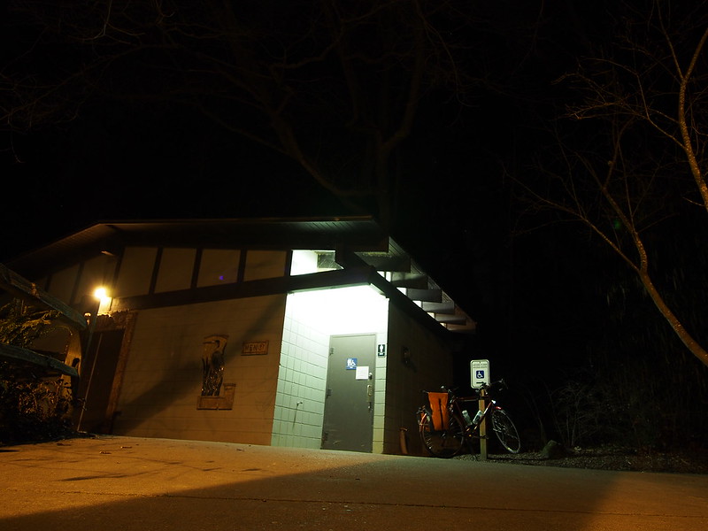
I stopped at Seward Park for my last bit of food before heading home.
I continued along the normal Lake Washington Loop (Arboretum Variant) all the way to the Burke-Gilman Trail, then headed west to get home.
The speed bumps on the Burke-Gilman Trail aren't much fun.
— 竹下憲二 (@takeshita_kenji) January 26, 2014
When a "bike path" uses crosswalks, I start to lose interest. I only pay attention to "dismount and walk bike" when there's a good reason.
— 竹下憲二 (@takeshita_kenji) January 26, 2014
Just got home.
— 竹下憲二 (@takeshita_kenji) January 26, 2014
Part of why I've not been tweeting as much toward the end of my rides is because my phone's battery hasn't been lasting. It didn't have any trouble during the Summer, but I'm guessing the battery's capacity has been dwindling over time as is typical. I ordered a new battery earlier in the week, but it didn't arrive until while I was on my ride. I plan to use the battery that came with my phone as a swap-in backup (not possible with phones that don't have user-replaceable batteries), which is something a friend of mine does with his phone.

No comments:
Post a Comment