A little spin down the Kitsap Peninsula.
Related albums:
More after the break…
I had originally intended to start this ride at 5 AM like always, but I forgot to set my alarm the night before and woke up at 4:30 instead of 3:00. Since there was no way for me to take care of everything in a half-hour, I pushed the start time to 6 AM. Aside from needing to wait for the ferry for an hour, it didn't really change the ride much.
Forgot to set my alarm, so I woke up 1.5 hours late. That also meant starting today's ride an hour late. Oh well.
— 竹下憲二 (@takeshita_kenji) January 26, 2019
Part 1: To Ferry
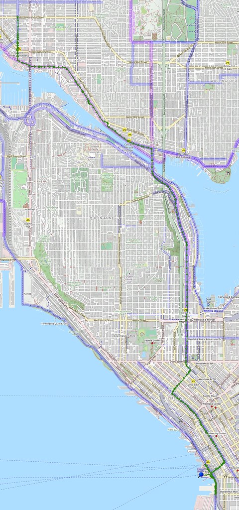
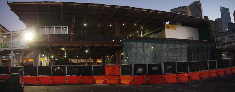
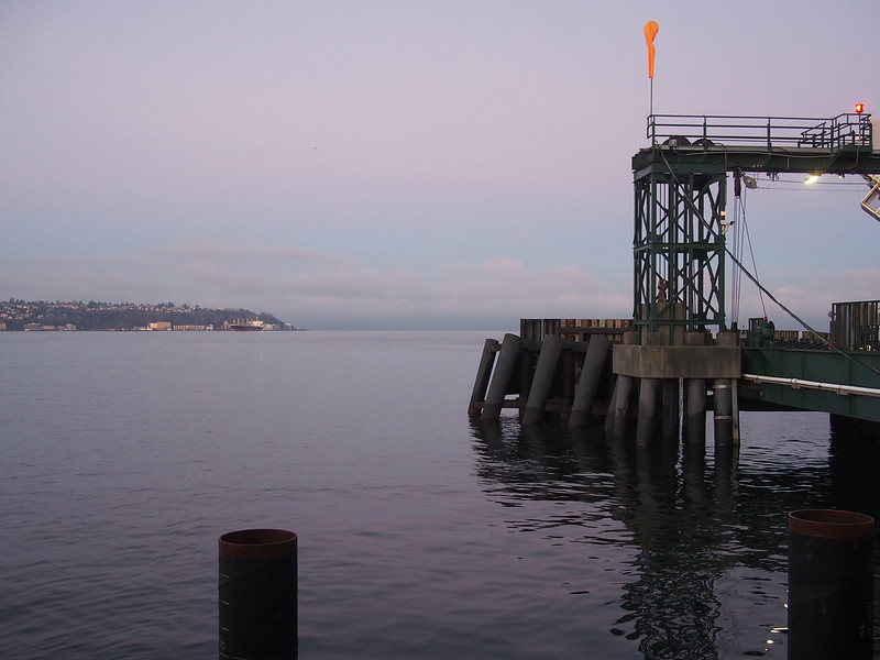
I had a difficult time trying to figure out how to get to the ferry due to the Colman Dock construction. The old entrance was closed, so I asked a couple of police officers who were walking along. They told me to go a few blocks further south, and that's where I found the temporary entrance.
Major construction here, on both the roads and the terminal itself. (@ Bainbridge Island Ferry in Bainbridge Island, WA) https://t.co/BRkJPK9uax
— 竹下憲二 (@takeshita_kenji) January 26, 2019
At least the weather's nice.
— 竹下憲二 (@takeshita_kenji) January 26, 2019
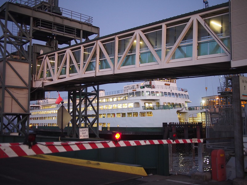
Despite the overall nice weather, I was pretty cold by the time the ferry showed up.
There are so many cool old photos on these ferries.
— 竹下憲二 (@takeshita_kenji) January 26, 2019
My fiancee and I both have Sapporo #beer as one of our favorites.
— 竹下憲二 (@takeshita_kenji) January 26, 2019
Part 2: Kitsap Peninsula
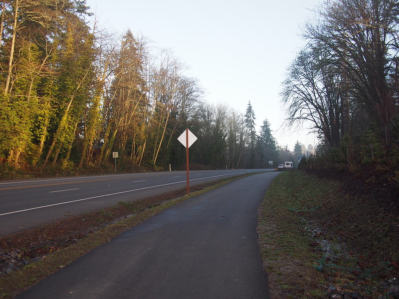
I thought the climb over Bainbridge Island would be the same as always, but the city added a new bike trail from the ferry dock to all the way to the top of the hill.
After that, it was business as usual. By the time I got to Poulsbo, I had to take a break as it had been a while since I'd done so many consecutive hill climbs.
Saw a guy on a road tricycle when I was riding up Bainbridge Island: drop bars and three 700C wheels with skinny tires in a delta configuration. A level top tube, too. #cycling #seabikes
— 竹下憲二 (@takeshita_kenji) January 26, 2019
My quads are TIGHT! Ouch! #cycling
— 竹下憲二 (@takeshita_kenji) January 26, 2019
Rather than using SR-3 to head down the peninsula, I took Viking Avenue and avoided a major climb to the freeway. When I got to Scandia, I hung a left onto a road that was new to me.
I tried to climb up the steep hill, but after two attempts, I bailed and walked. It wasn't that it was too steep, it was that I got wigged out.
Bailed out of the steepest climb so far
— 竹下憲二 (@takeshita_kenji) January 26, 2019
How the might have fallen. #cycling
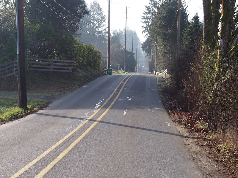
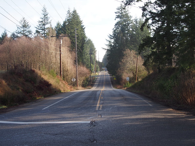
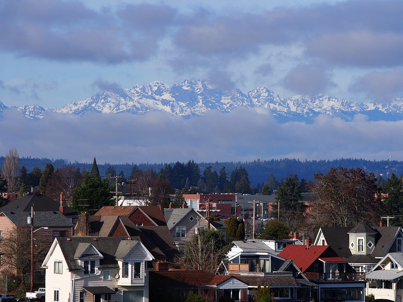
Despite that, I still enjoyed all of the rural scenery.
My route crossed over SR-303 before it headed over the next real climb up Nels Nelson Road, which was about as difficult as the earlier one would've been. I didn't feel so bad anymore since I managed to winch my way up it. In fact, after all the riding and climbing, I felt like I was in a good rhythm, unlike on shorter rides.
Managed to climb up another hill of similar difficulty under pedal power, but this hill had more car traffic on it. I don't feel so bad anymore. #cycling
— 竹下憲二 (@takeshita_kenji) January 26, 2019
My #cycling commute isn't very rewarding because it doesn't even feel like a warm up. It takes more distance and time to get into a proper rhythm, and I'm glad to finally get some of that today.
— 竹下憲二 (@takeshita_kenji) January 26, 2019
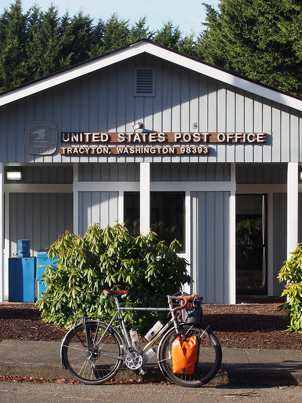
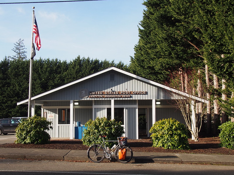
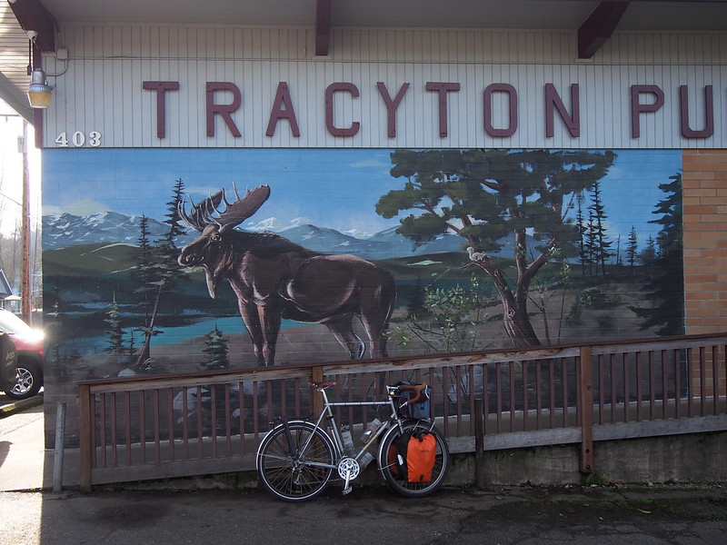
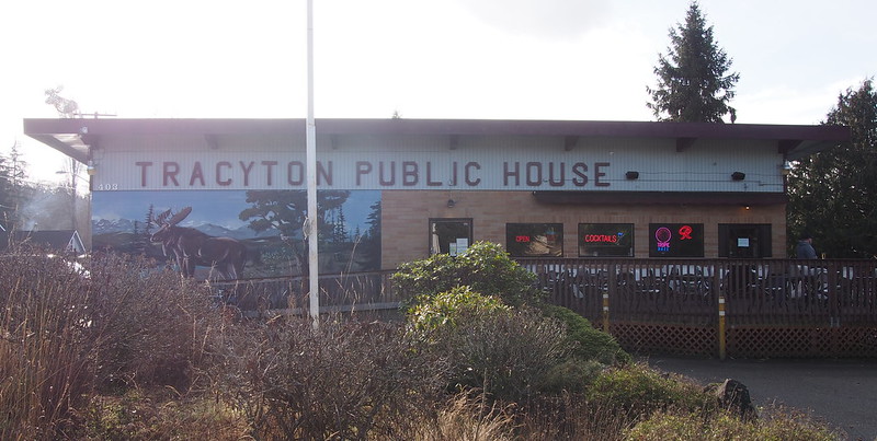
Not long after a little more downs and ups, I entered the city of Tracyton. This was the first sign that I'd never actually been through this area, as I didn't see this town last time. My route through the town was pretty dumb, with a very steep and short climb just to avoid the main road. I had to double back to see the actual main area of town.
The weather is awesome today.
— 竹下憲二 (@takeshita_kenji) January 26, 2019
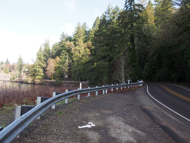
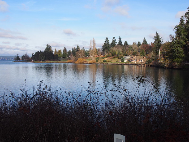
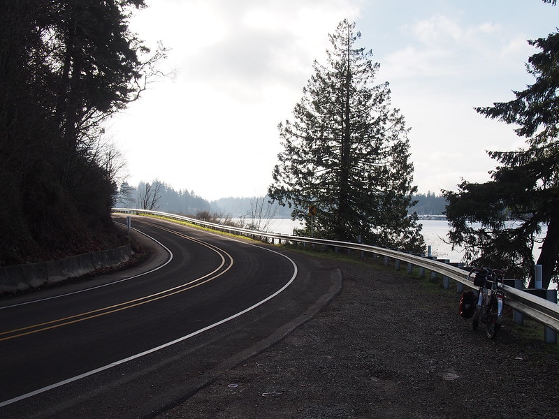
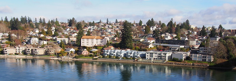
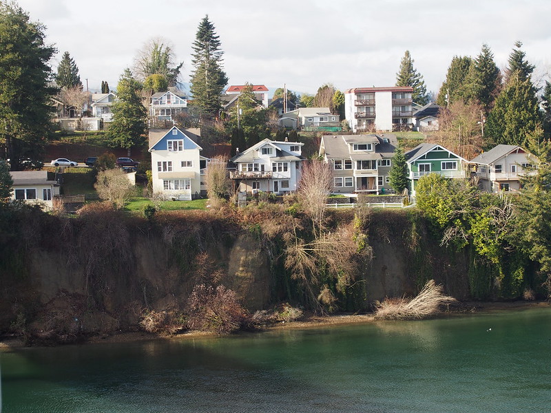
I left Tracyton via Tracyton Beach Road, which provided some very nice scenery along the water.
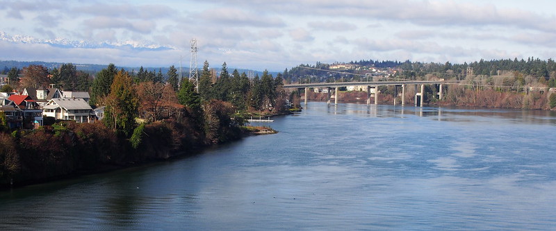
Climbing a few hills and dealing with another strange routing choice from RideWithGPS, I eventually made it to my crossing of the Port Washington Narrows over the Manette Bridge, which offered some very nice views.
After crossing the bridge, it wasn't even a mile to the ferry terminal, though the streets were a bit confusing.
The usual hour-long ferry ride followed thereafter.
Heading back. (@ Bremerton Ferry Terminal in Bremerton, WA) https://t.co/fAdsMcgcXs pic.twitter.com/kLKQIkOnI6
— 竹下憲二 (@takeshita_kenji) January 26, 2019
Nothing can replace hours of riding in the countryside.
— 竹下憲二 (@takeshita_kenji) January 26, 2019
I hope to someday do more of that.
— 竹下憲二 (@takeshita_kenji) January 26, 2019
There's nothing better than getting away from the city for a while.
— 竹下憲二 (@takeshita_kenji) January 26, 2019
Some guys were doing something where they were sliding coins really quickly across the table and the repeated metalling slamming noises werr too much.
— 竹下憲二 (@takeshita_kenji) January 26, 2019
Part 3: Return Home
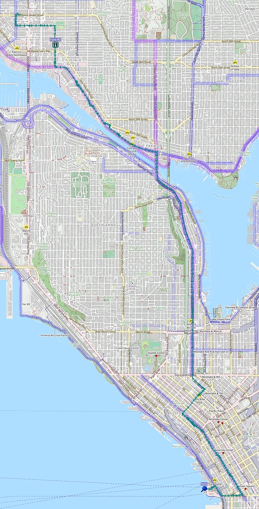
The ride home was mostly the same as always, albeit pretty slow because my legs were tired after the hill climbing. I did have to stop to eat not even a mile before getting home because I was starving.
Almost home, but I'm bonking so hard that I really need something in my stomach NOW. #cycling
— 竹下憲二 (@takeshita_kenji) January 26, 2019
Back home now. I was originally going to pass through Keyport, but it looks like I accidentally undid that deviation from my RideWithGPS route when I was trying things out. #cycling
— 竹下憲二 (@takeshita_kenji) January 26, 2019





No comments:
Post a Comment