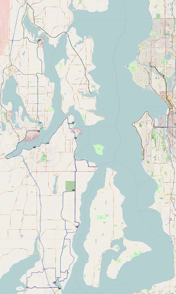
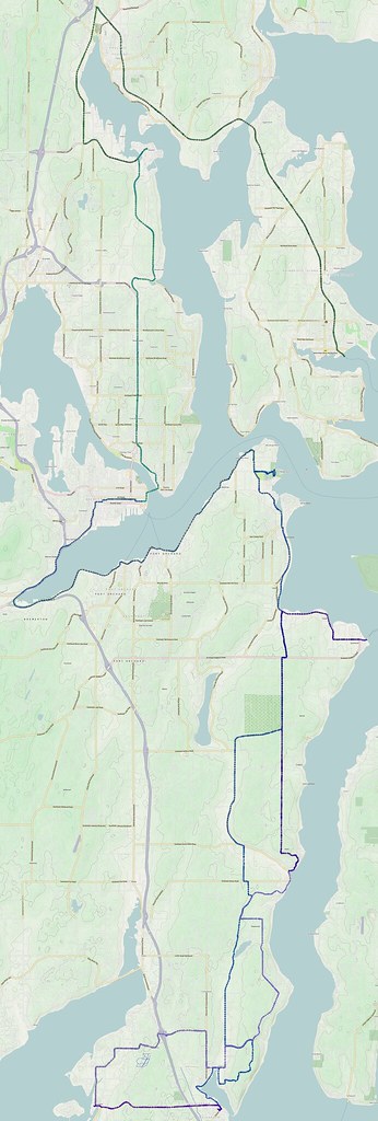
When I planned this route, I basically just chose locations I hadn't yet seen, which is why it sort of goes back and forth. The actual goal was to explore using SR-304 and SR-3 to get out of Bremerton, which worked quite well.
Yesterday: 124.22 miles http://t.co/UVTSV01PLC #cycling
— 竹下憲二 (@takeshita_kenji) December 1, 2013
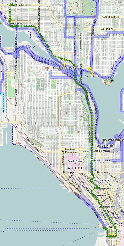
Part 1: To Seattle Ferry Terminal
I started at about 05:00 in order to catch the ferry to Bainbridge. I was fighting a southerly headwind much of the time.
It's windy out. (@ Seattle Ferry Terminal) https://t.co/HCQovtO6vB
— 竹下憲二 (@takeshita_kenji) November 30, 2013
On an earlier ride, I had heard about using my ORCA Card in order to pay for the ferry. When I went to use the reader and bypass the line of cars, it was displaying something about "GAK" settings, but the light still turned from red to green when I tapped my card. Apparently the gate toward the left doesn't raise since it's for cars at the corresponding tollbooth.
The ORCA reader flashed a green light, but. the display didn't show anything related to payment.
— 竹下憲二 (@takeshita_kenji) November 30, 2013
After a bit of paranoia and asking around, I went back to check it. It showed that the correct fare ($1.00 less than the cash/credit fare) had been deducted and everything, so I assumed it worked. Nothing bad came of the assumption.
I checked again a little bit later and it looked like it deducted the right amount. $1.00 savings!
— 竹下憲二 (@takeshita_kenji) November 30, 2013
Things most people do for pleasure would bore me out of my mind.
— 竹下憲二 (@takeshita_kenji) November 30, 2013
Things I do for pleasure would cause physical and mental burnout for most people. That happens to me too, but I enjoy it before burnout.
— 竹下憲二 (@takeshita_kenji) November 30, 2013
Part 2: All Over Kitsap
I just took the normal route toward Poulsbo as I've done many times before. Rather than going through downtown, however, I just went along SR-305 until making a left at Viking Way.
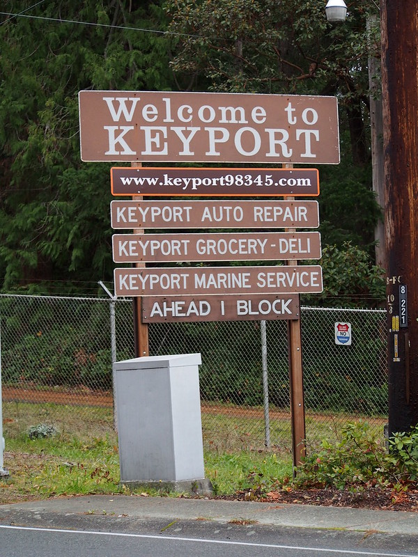
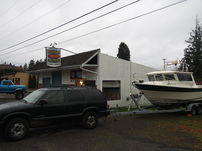
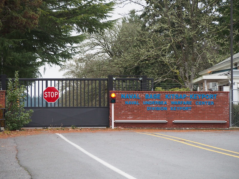
Instead of passing through Silverdale as would've been typical of the next leg, I made a left on SR-308 toward Keyport.
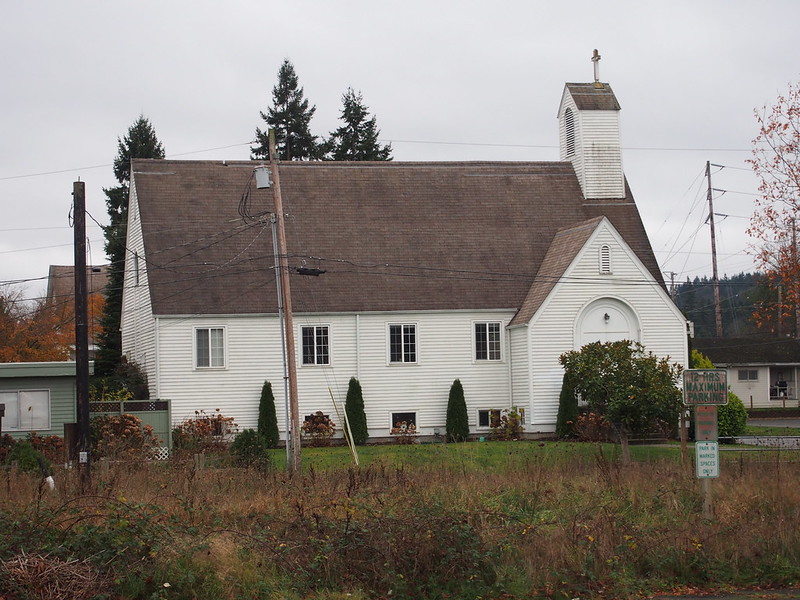
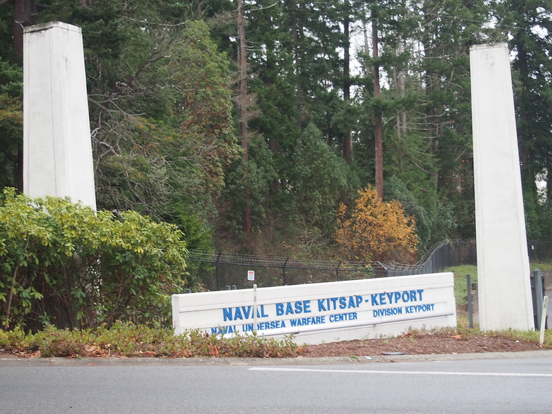
My route plan didn't include Keyport, but I had to check it out as I had heard about it so much in the past. There wasn't much there, though.
Well, aside from the navy base.
And the associated museum.
The southerly wind continued for pretty much the entire rest of the day, but I didn't notice it when climbing hills. It became more of a problem when I entered the relatively-flat area north of East Bremerton, which was full of large parking lots, big box stores, and very few trees. The endless streams of cars helped to provide drafting when the traffic lights let them through, so it could've been worse.
Wow, look at all of the sprawling parking lots. Nobody in their right mind would ever want to walk around here.
— 竹下憲二 (@takeshita_kenji) November 30, 2013
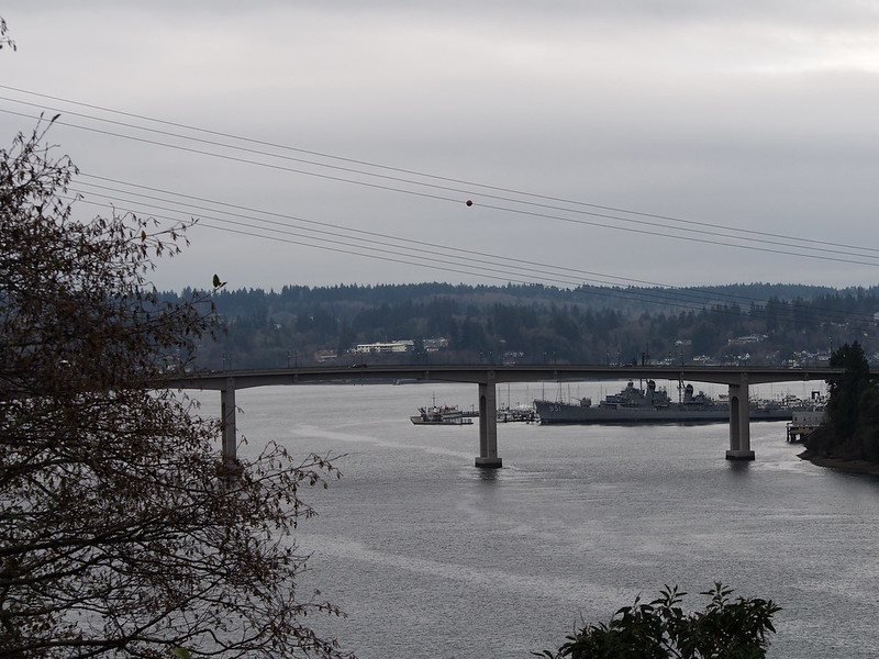
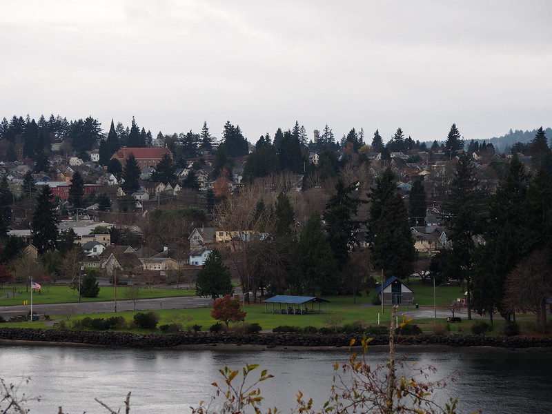
I eventually entered the older part of East Bremerton and headed toward the Manette Bridge. (I've seen the old one before they replaced it years ago, but I had never actually crossed the old one.)
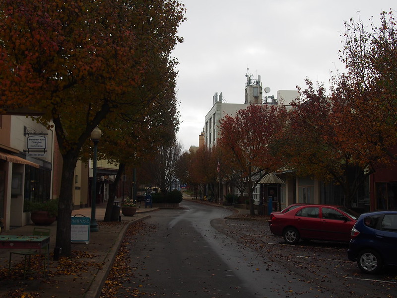
Downtown Bremerton is kind of creepy because there's nobody there.
— 竹下憲二 (@takeshita_kenji) November 30, 2013
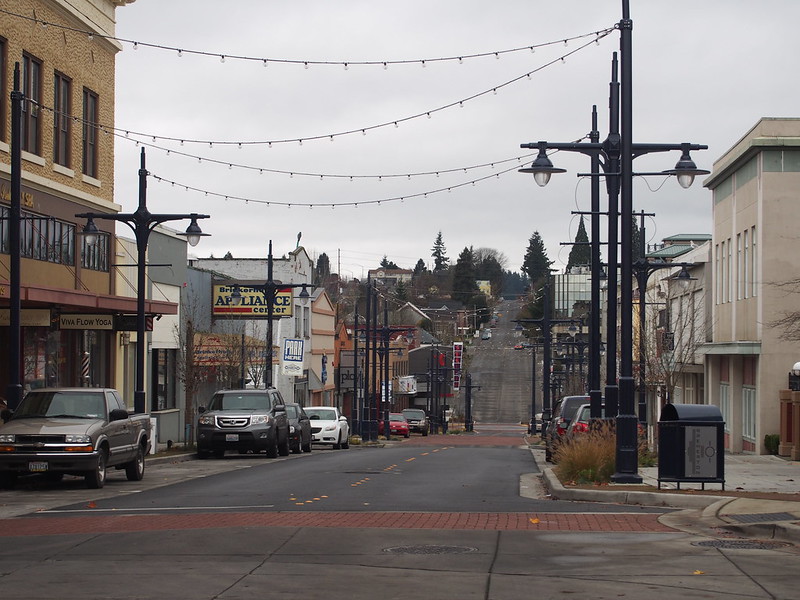
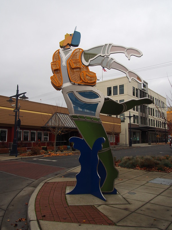
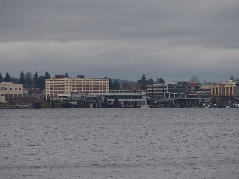
Next came downtown Bremerton, with its hills and its attempts to enliven itself in lieu of sprawl sending people away.
In thepast, I had taken a route out of Bremerton that involved a number of small roads that are very steep to get to West Belfair Valley Road. Rather than doing that this time, I just took SR-3 (which is obviously legal). There was an overpass from SR-304 to SR-3, and the strong southerly winds made made negotiation a tad more difficult that it would've been otherwise.
Overpasses and other bridges are scary when it's windy. #cycling
— 竹下憲二 (@takeshita_kenji) November 30, 2013
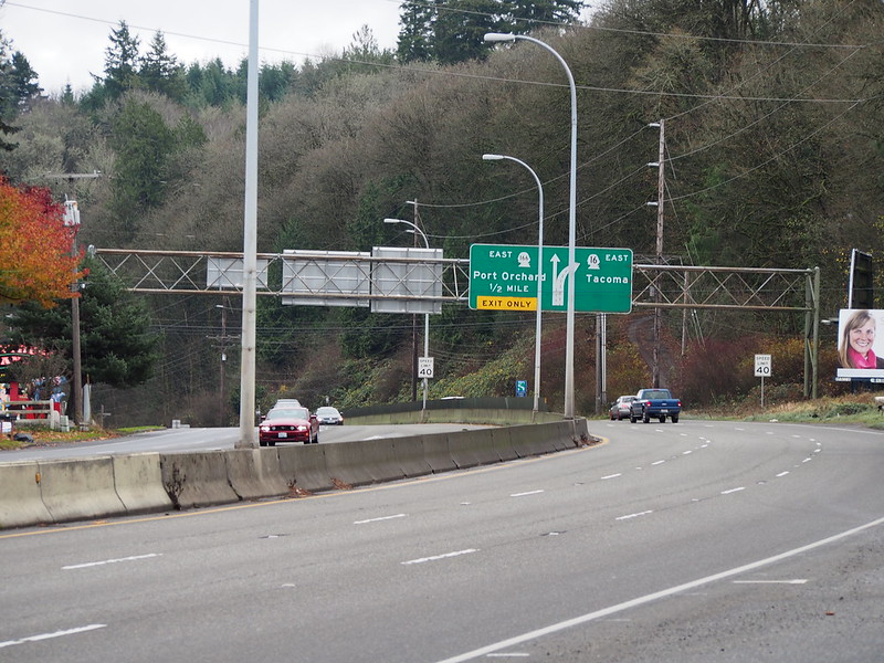
And then to get to SR-166, I had to make a left exit. It took a while because I had to wait for traffic to clear up in order to get from the shoulder to the exit lane.
Left exits are a bad idea (in the US).
— 竹下憲二 (@takeshita_kenji) November 30, 2013
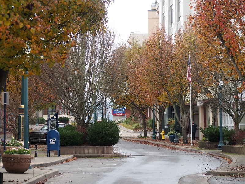
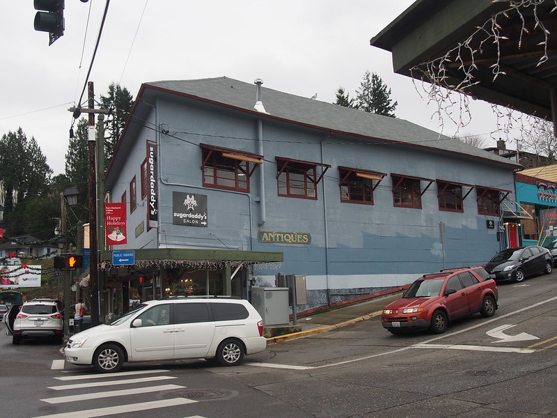
Next up: downtown Port Orchard.
I headed toward Manchester State Park next.
I saw some camels on a farm near Manchester State Park. They had humps and everything!
— 竹下憲二 (@takeshita_kenji) November 30, 2013
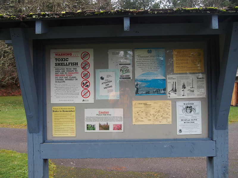
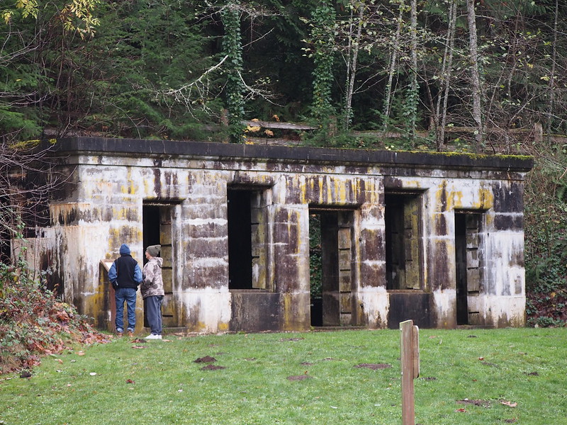
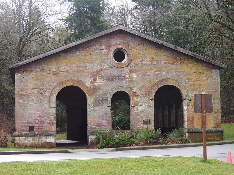
I'm at Manchester State Park - @wastatepks (Port Orchard, WA) http://t.co/F5nIOt5Rkp
— 竹下憲二 (@takeshita_kenji) November 30, 2013
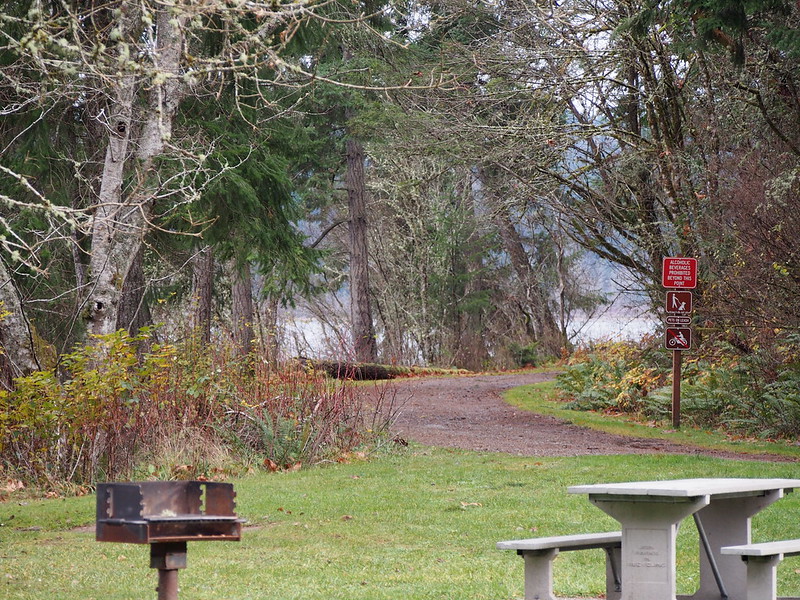
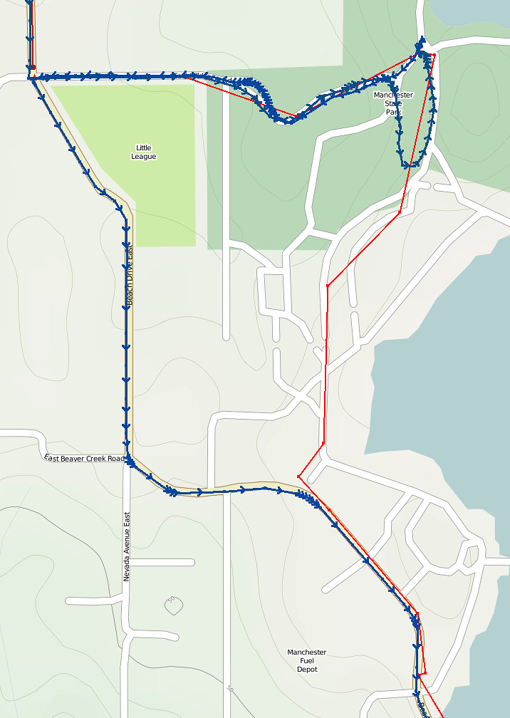
Google Maps thinks there's a through route here. There isn't.
— 竹下憲二 (@takeshita_kenji) November 30, 2013
The route Google Maps indicated would've put me right through the off-limits Manchester Navy Fuel Depot, so I just went back to the main road. I didn't even leave the road in the park, so it looks like OpenStreetMap has some invalid data too.
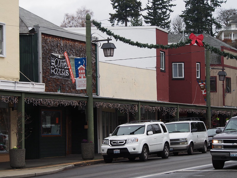
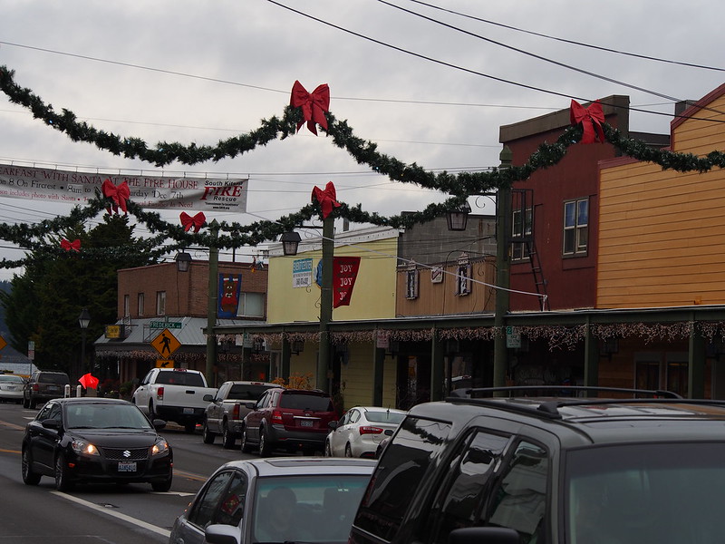
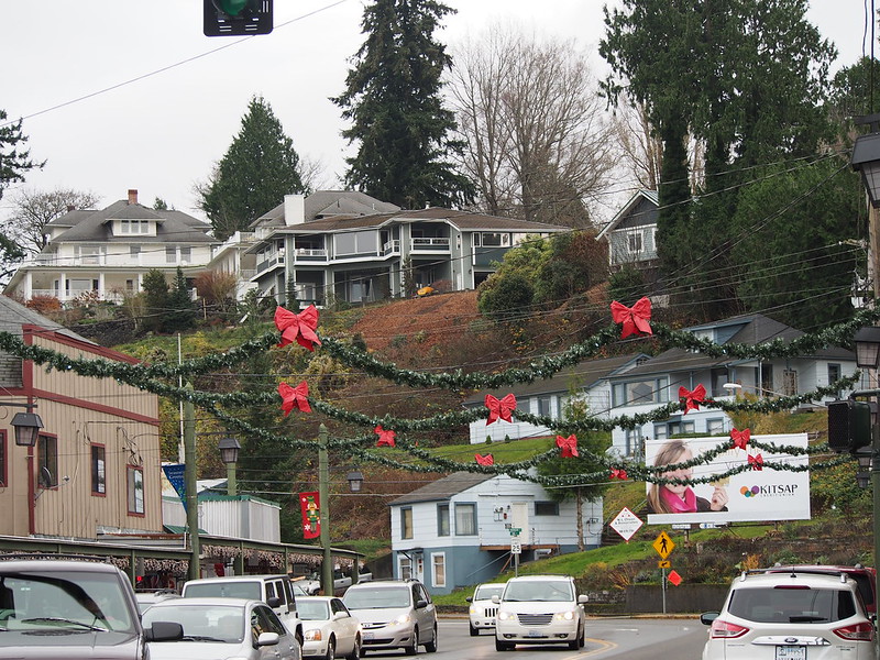
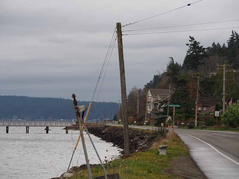
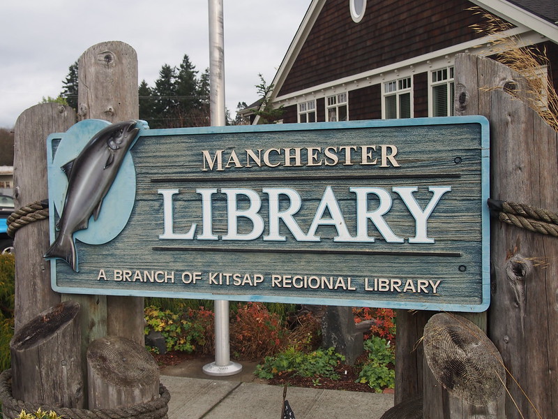
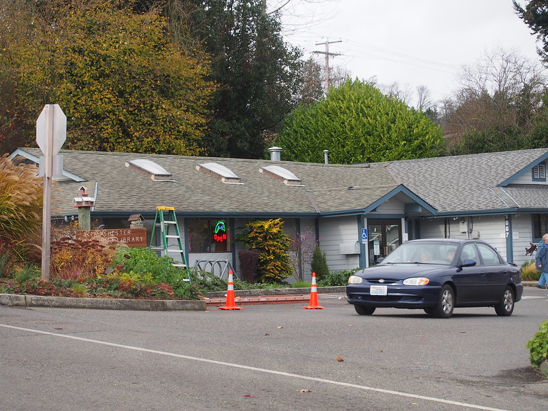
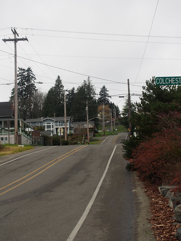
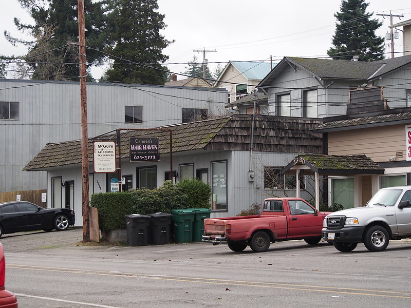
I passed through the town of Manchester. There wasn't too much there, but it was certainly more than some other places on the Kitsap Peninsula.
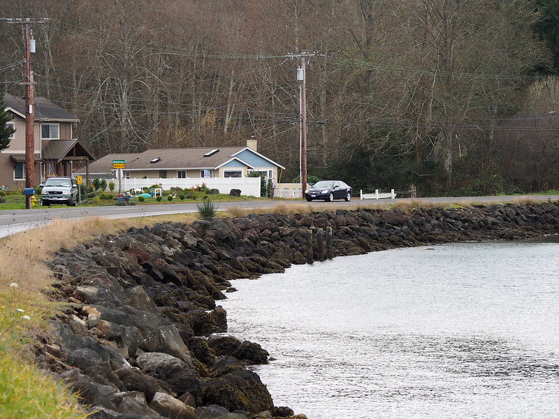
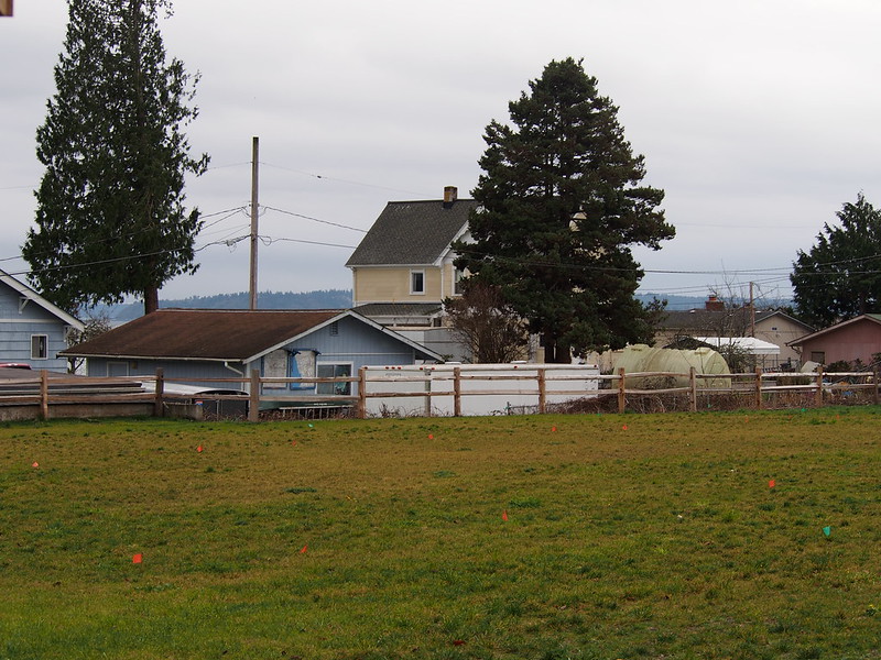
After Manchester, I took a route that hugged the coast before hitting the northernmost reach of Banner Road, then climbed that steep hill to get to SR-160. While I just passed through, Banner Road's two parts are separated by a short jog on SR-160.
Just like before, I took to Olalla Valley Road at Banner Forest.
Toward the end of my time in the Olalla Valley, I had to deal with a very steep climb out of it. In retrospect, there were worse climbs out of there as you'll see later.
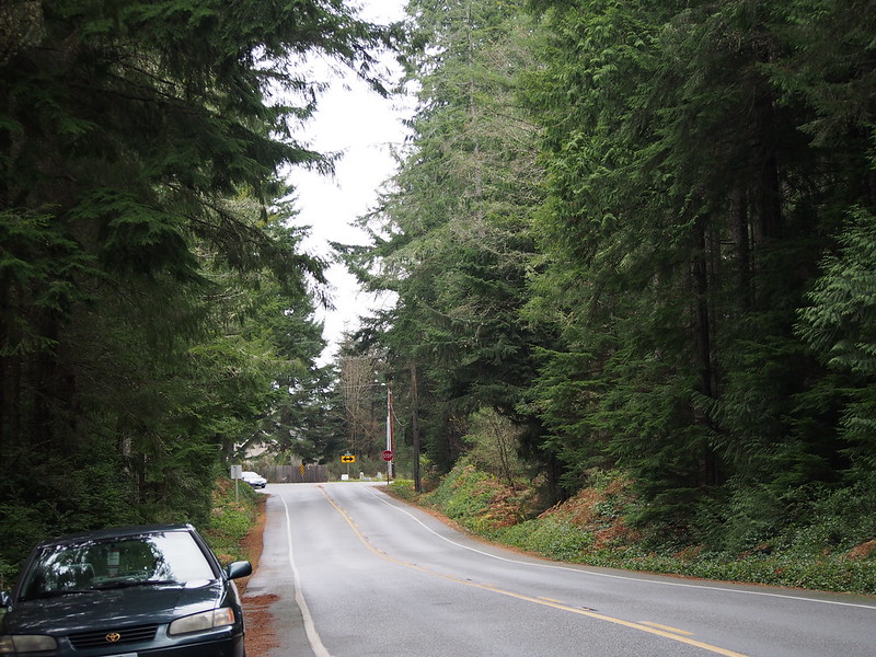
That brought me to Crescent Valley Road SE, which sent me along a valley with many more trees (contrasted to the farms in the Olalla Valley). I turned right into my next big climb from that once I got closer to Gig Harbor.
My plan was to go down to the beach, but I decided that I didn't want to invest that kind of time.
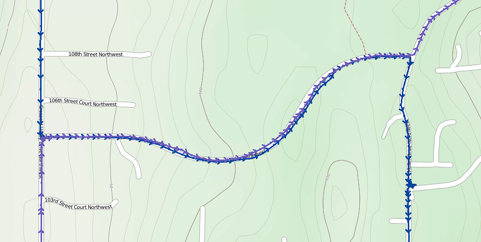
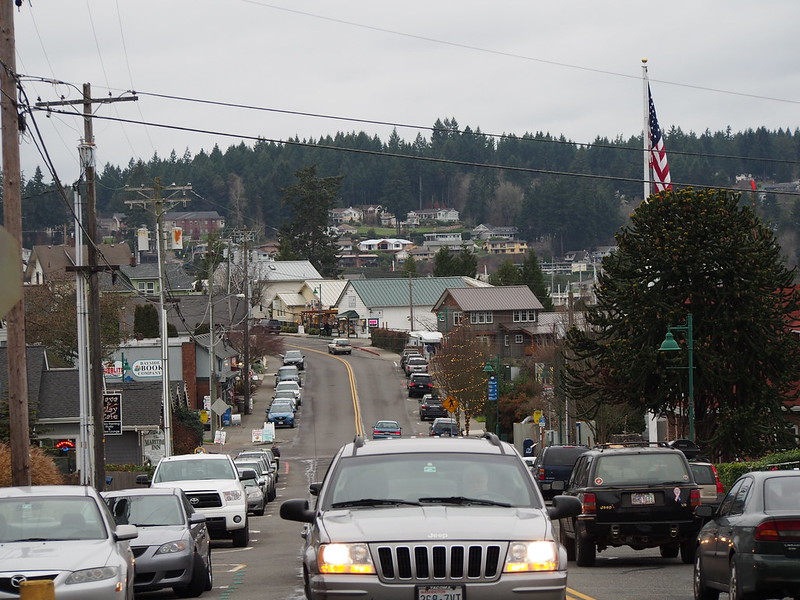
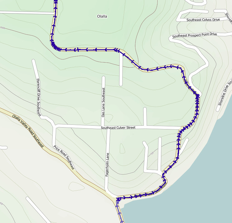
The fact I did it again (you can see two tracks on the map above) on the way back meant that it wasn't too much, but the roads got steeper as I approached the harbor itself. Some of them just seemed deadly both uphill and downhill!
The grades here are insane. (@ Gig Harbor Waterfront) http://t.co/jqs8qhzfUl
— 竹下憲二 (@takeshita_kenji) November 30, 2013
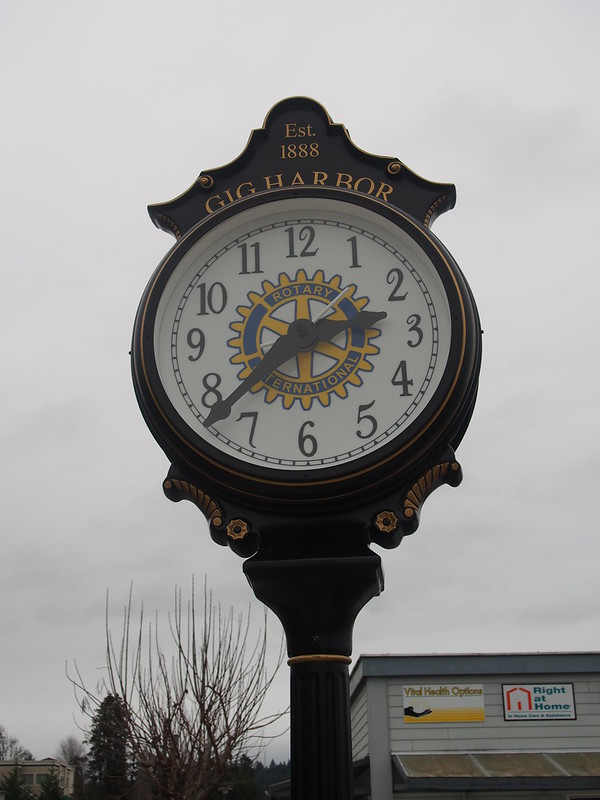
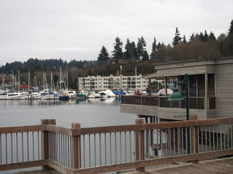
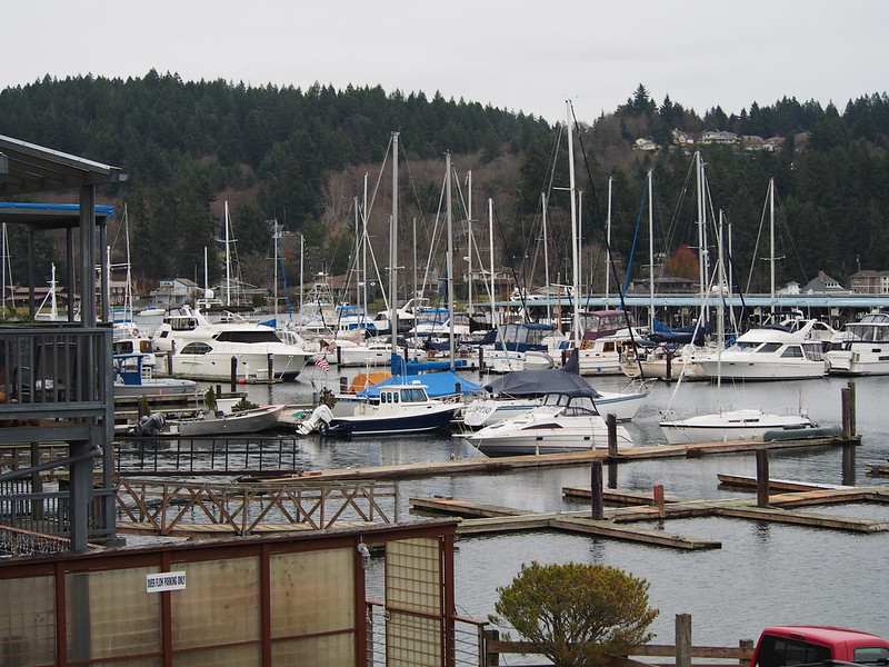
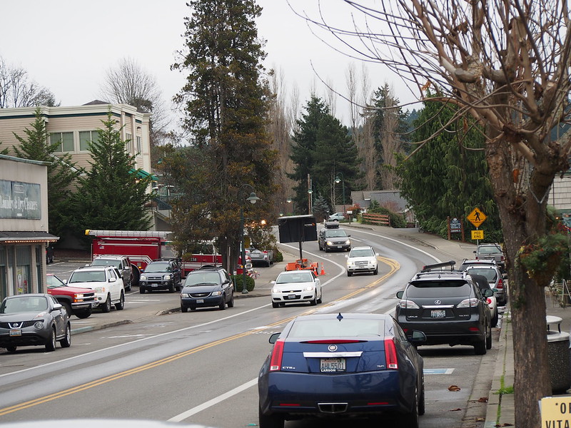
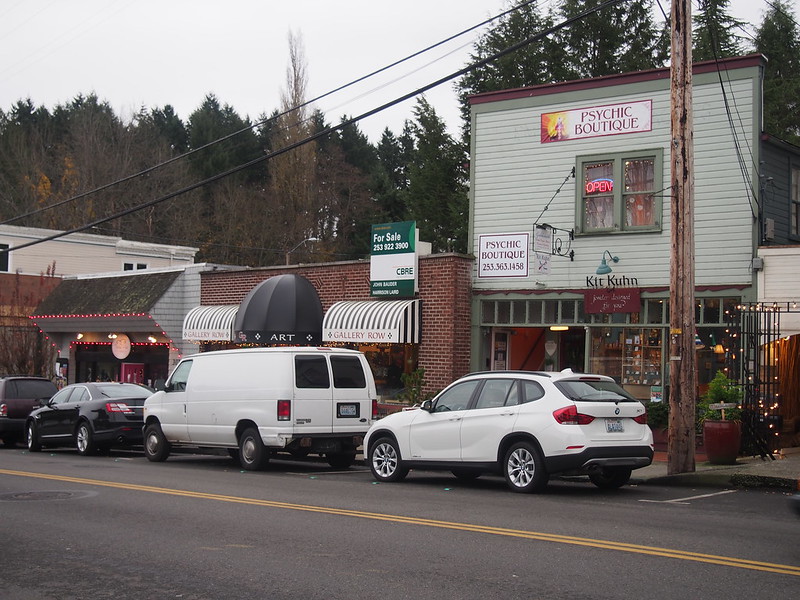
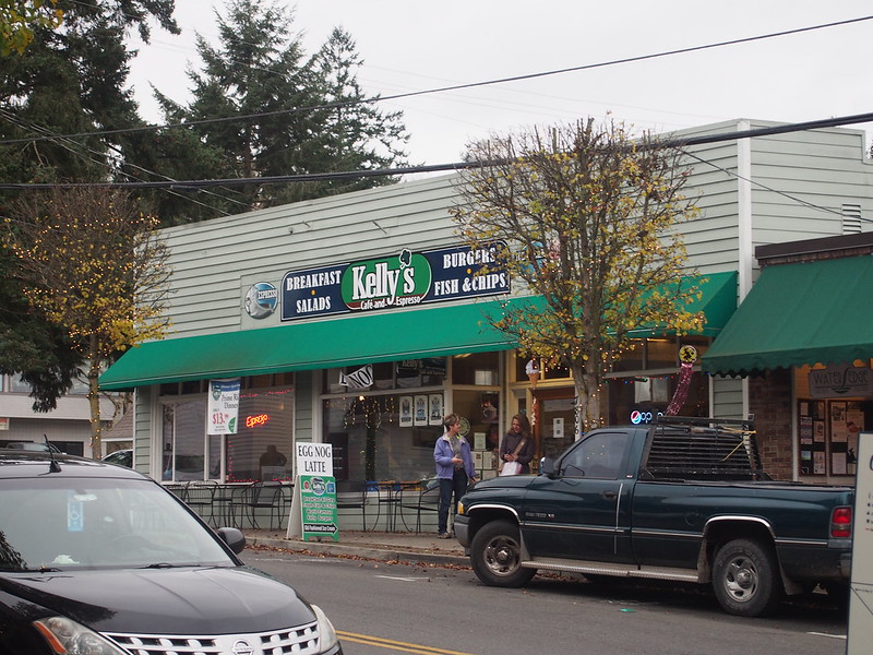
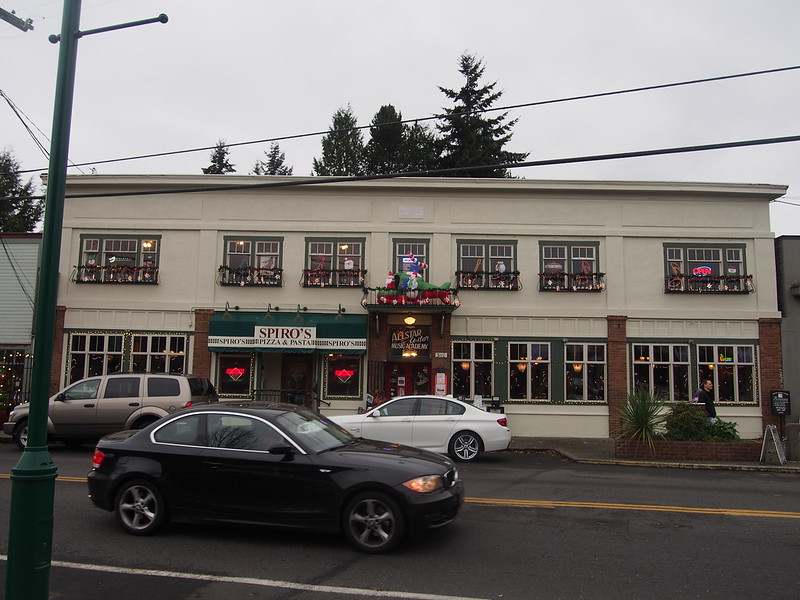
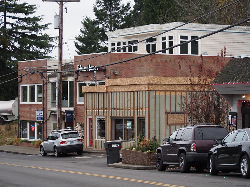
I thought I had arrived to the downtown when I took the next photos.
As it turns out, downtown was a short distance away.
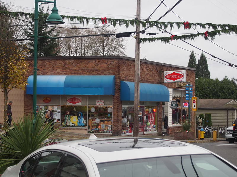
I got a small amount of fudge at a candy shop, since I really needed something sweet at this point. Despite eating quite a lot of primarily savory foods a long my ride, I felt a bit drained.
I'm at Heidi's Sweet Shop (Gig Harbor, WA) http://t.co/QYSU2p5led
— 竹下憲二 (@takeshita_kenji) November 30, 2013
I then started up a big hill, only to find out that my route was actually several blocks away. It looked like a road I was on went through, but it didn't so I had to turn back and take the main road to my route…a climb that was still pretty steep but not as bad.
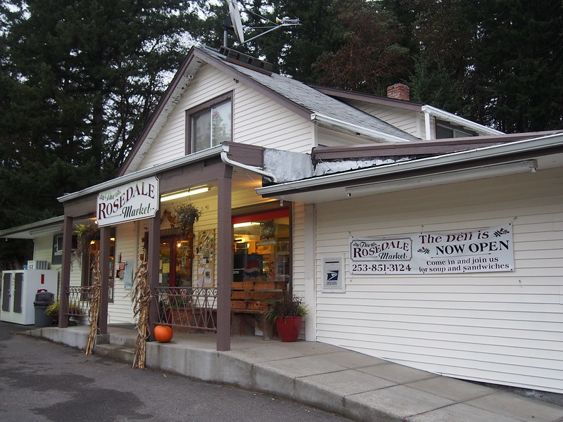
After climbing under SR-16 and then some, I zipped down to Rosedale (which is too insignificant to have a Wikipedia article). I tried this shop for a restroom, but it was out of order. I was able to get water there, though.
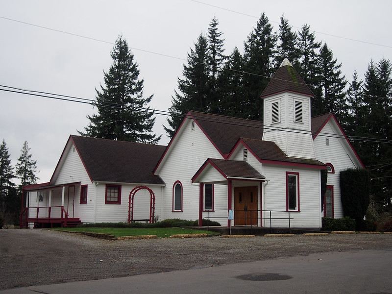
As for a restroom, I ended up using a porta-potty in the park next to the nearby church.
As for getting back to the other side of the peninsula, I ended up doing another long climb, though it wasn't as steep, and certainly was easier than climbing back up the way I came.
This put me through the sprawl in upper Gig Harbor seen on my previous ride through the area. Again, I had no trouble with the spiraling roundabouts.
I was then sent back down the hill to near the harbor, but then went back north to do the big climb again. Once at the top, I turned left instead of right and rode past a lot of outer suburban-style neighborhoods. It was starting to get dark at this point.
I rejoined Crescent Valley Road SE just north of the Kitsap County/Pierce County border, but left it to go to Olalla. It was a very steep downhill ride to there.
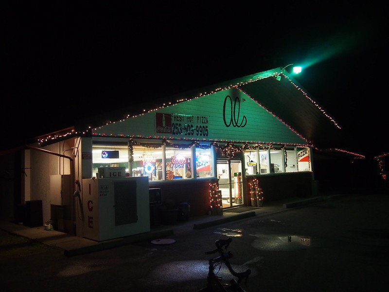
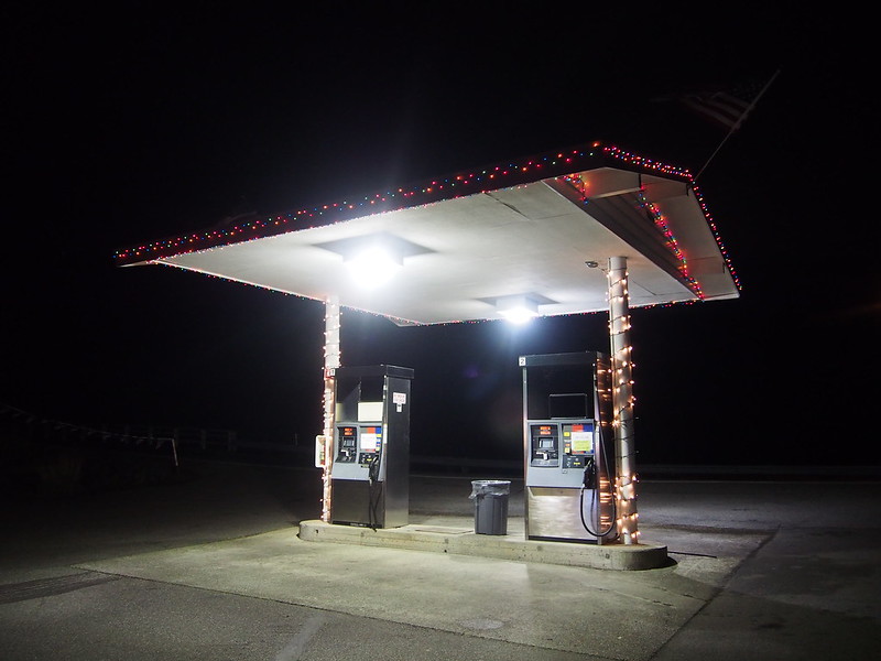
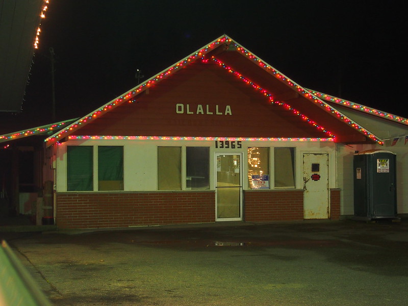
There wasn't much to be seen there, but I did manage to get some coffee to help make the dark roads seem less scary. (They weren't outright terrifying or anything, but I was certainly not having fun.)
I got some cappuccino from a dispensing machine at a shop in Olalla since there wasn't much else around.
— 竹下憲二 (@takeshita_kenji) December 1, 2013
The folks at the store were really nice, like they were in their element there.
The climb out of Olalla was steep, and I barely made it out of there.
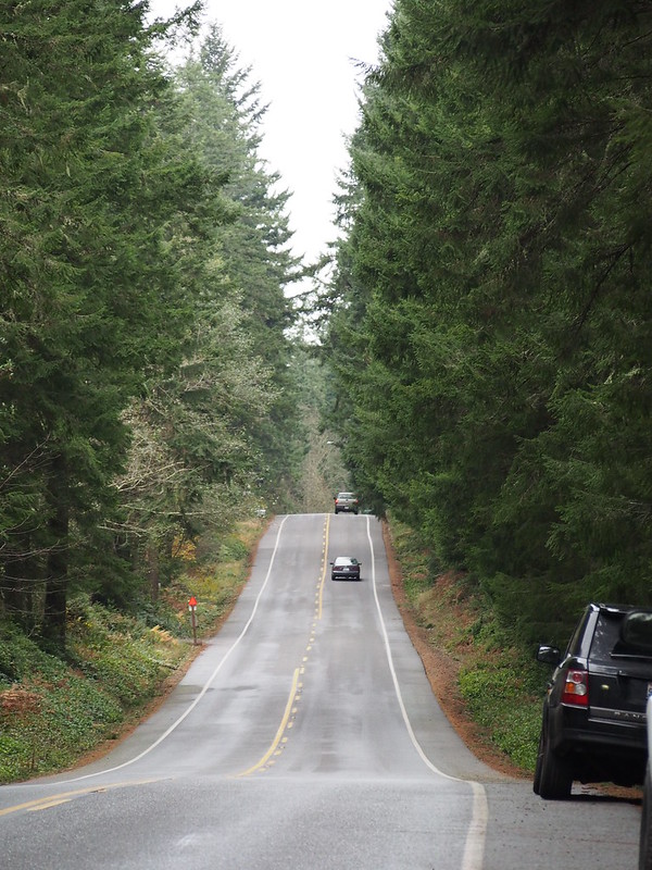
Once I did get there, however, it wasn't too bad all the way up along Banner Road. There was one part where it was like I was going down a roller coaster slope, but the uphill bit after that wasn't anything like that. I could feel the "air time" and the rush of the wind against me as I careened down that slope! The darkness really accentuated the experience, too.
When I'm on my way home, and I REALLY want to go home, I love seeing landmarks along the way that indicate progress.
— 竹下憲二 (@takeshita_kenji) December 1, 2013
Not following my mistake from last time, I did go all the way to the northern tip of the little peninsula north of Southworth and came back to make my way to the ferry terminal.
Woo. (@ Southworth Ferry Terminal) http://t.co/2NAZZpfG4I
— 竹下憲二 (@takeshita_kenji) December 1, 2013
Throughout the ride on this side of Puget Sound, especially after it got dark, dogs were barking at me all over. It was rather annoying, akin to when the teenagers/young adults tried to startle me in Bremerton on one of my earlier rides.
I am not, however, thankful for the dogs that kept barking at me all over the Kitsap Peninsula as I rods by.
— 竹下憲二 (@takeshita_kenji) December 1, 2013
Part 3: Return Home
The strong wind from the south remained, so I had a tailwind for much of the remaining ride home. On the parts where I was headed south, the wind wasn't bad enough to hinder me at all.
My panniers' wind-catching abilities are very useful when there's a tailwind. #cycling
— 竹下憲二 (@takeshita_kenji) December 1, 2013
Around SoDo, I ran into a mild drizzle. That didn't hinder me at all.
I didn't see any rain until I got close to downtown Seattle. I am thankful for that.
— 竹下憲二 (@takeshita_kenji) December 1, 2013
Closer to home, however, I did hit this. Doesn't SDOT do a wonderful job of maintaining streets?
I also hit some bad pavement in Ballard that sent such a shock through me that I got a headache. I still remained riding, though.
— 竹下憲二 (@takeshita_kenji) December 1, 2013
To clarify: my bike's wheel rolled over the bump and the force sent through it to my body was enough to cause a headache.
— 竹下憲二 (@takeshita_kenji) December 1, 2013
Despite that, I made it home fine.
No comments:
Post a Comment