After a couple of attempts to see what it's like in there by riding to the boundaries, I finally went on an official tour of it.
More after the break…
I've spend some time on some rides in the past trying to find my way into the watershed, but there were gates everywhere so that didn't happen. I finally took the initiative to sign up for the tour with my father so I could see what it's like in there. Not only did I see a lot of beautiful scenery, I also learned quite a bit.
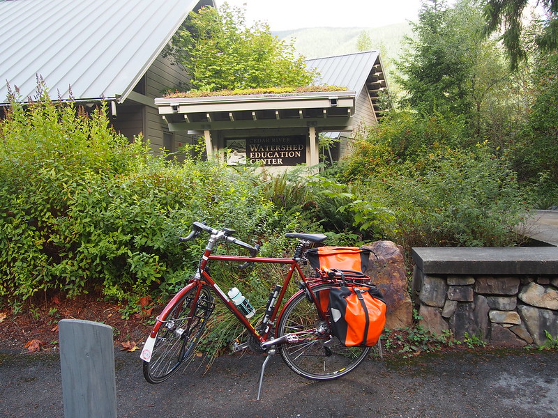
I've been to the Cedar River Watershed Education Center a few times before, mainly for water after the first time, so I have an album full of photos of it already.
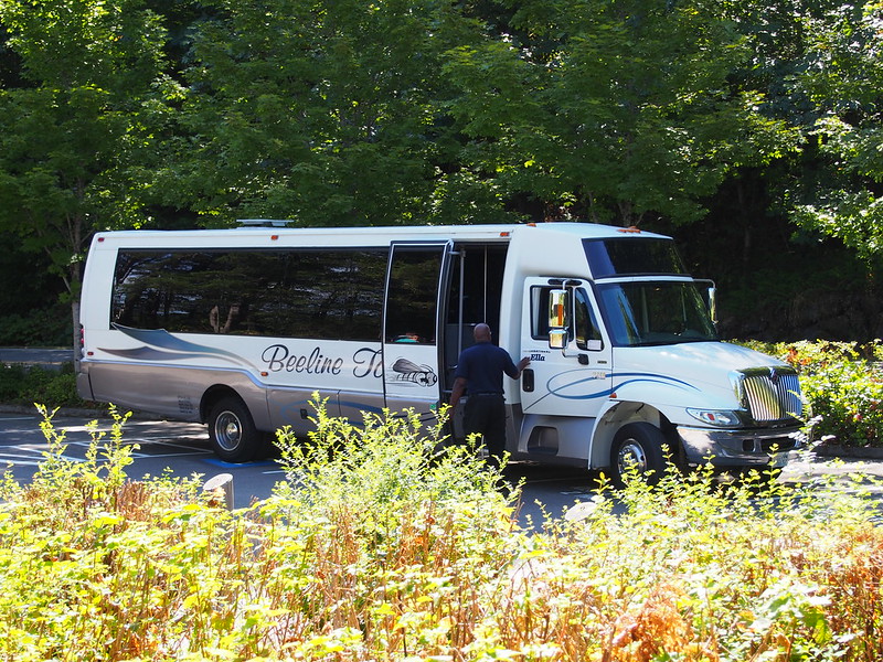
We rode on a bus to get between the sites as it would've taken quite a while to hike all that way.
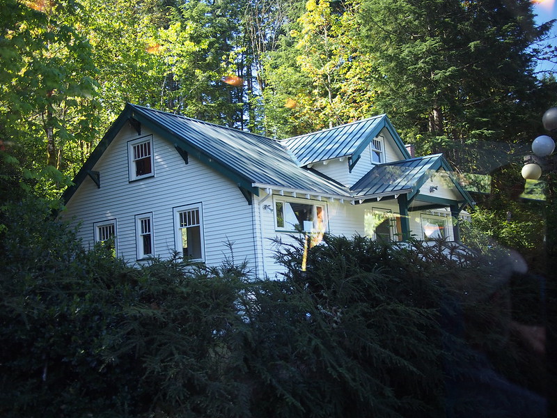
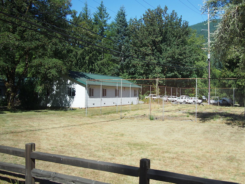
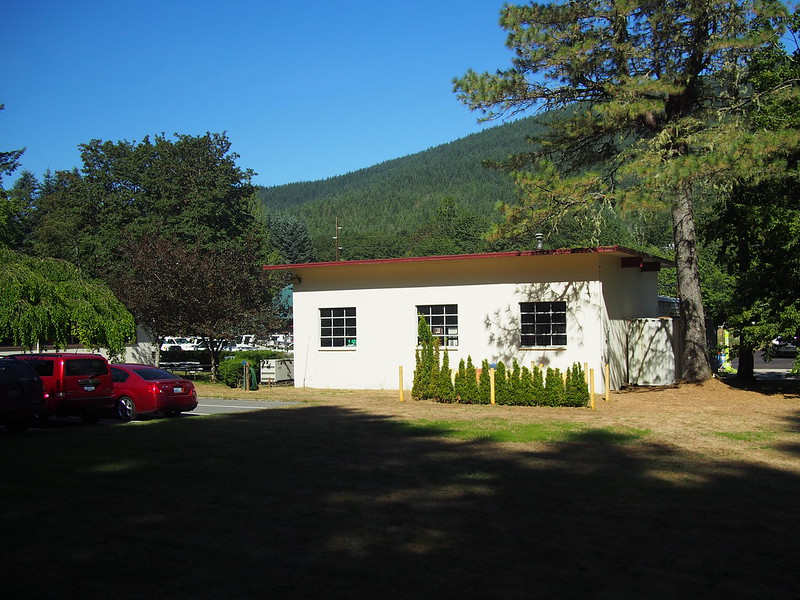
The first area of note through which we passed was the old Cedar Falls town site. A few of the buildings are being used as offices, though they're working on building a new site headquarters.
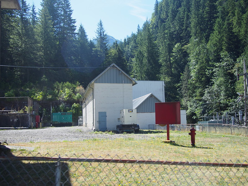
That included the generating station for Seattle City Light's first hydroelectric facility.
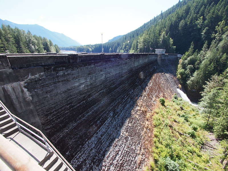
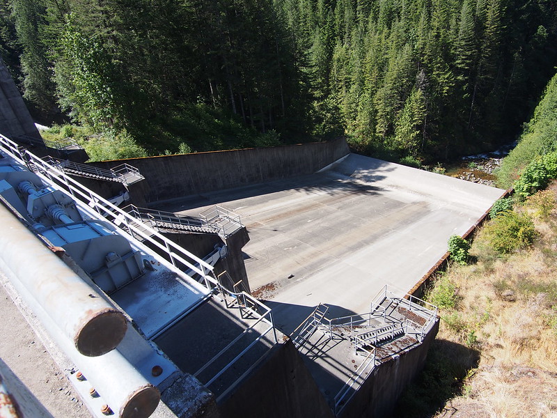
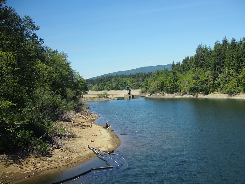
Our first real stop was at the lower dam, which impounds Masonry Pool.
The pool itself is kept low, as water there will seep into Rattlesnake Lake.
Below the dam is the Cedar River as well as the penstocks that bring water to the turbines to generate electricity. This section of the river is essentially a chute that brings water down to Landsburg, where a diversion dam sends water to Lake Youngs, which is where the water is treated and stored before being sent off to local water towers.
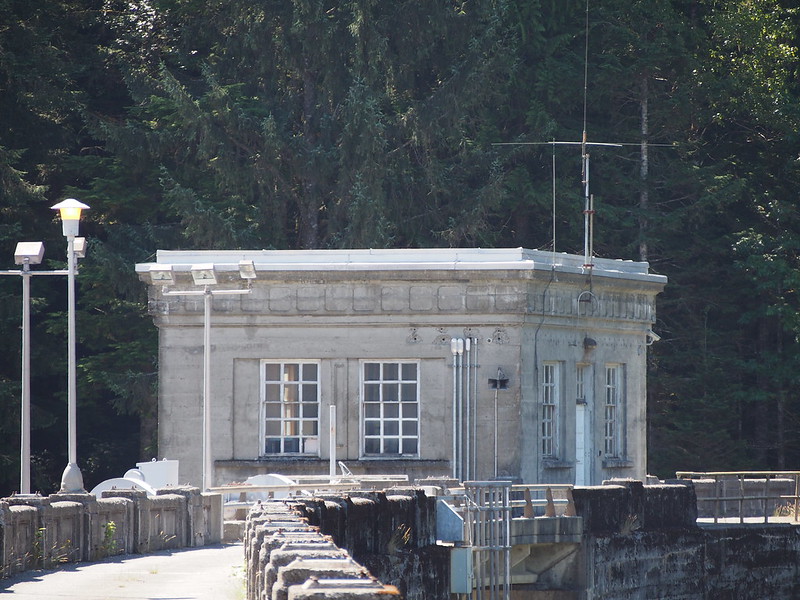
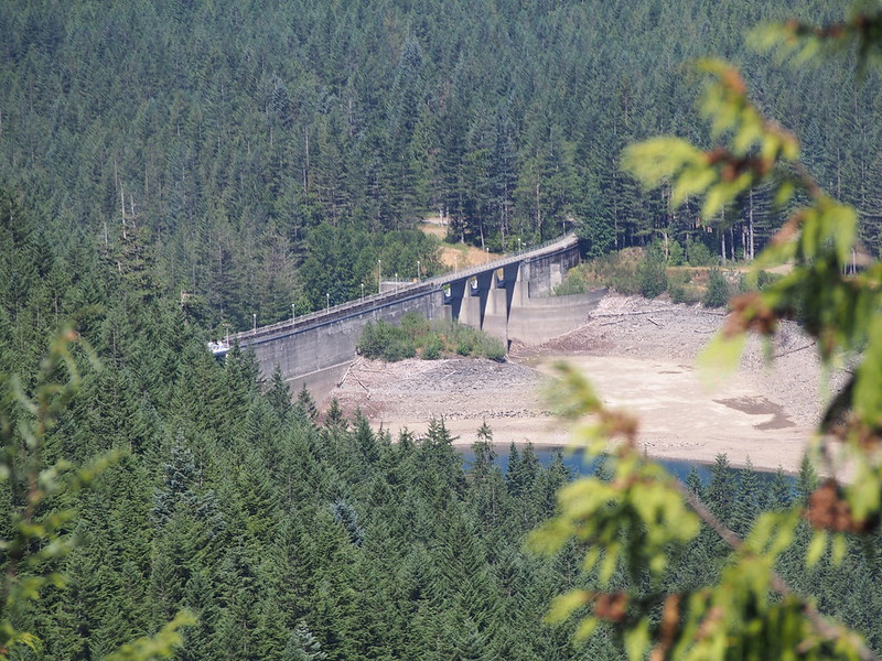
Between Chester Morse Lake and Masonry Pool (as well as between our first and second stop) is the upper dam, which regulates the flow of water from the lake into the pool.
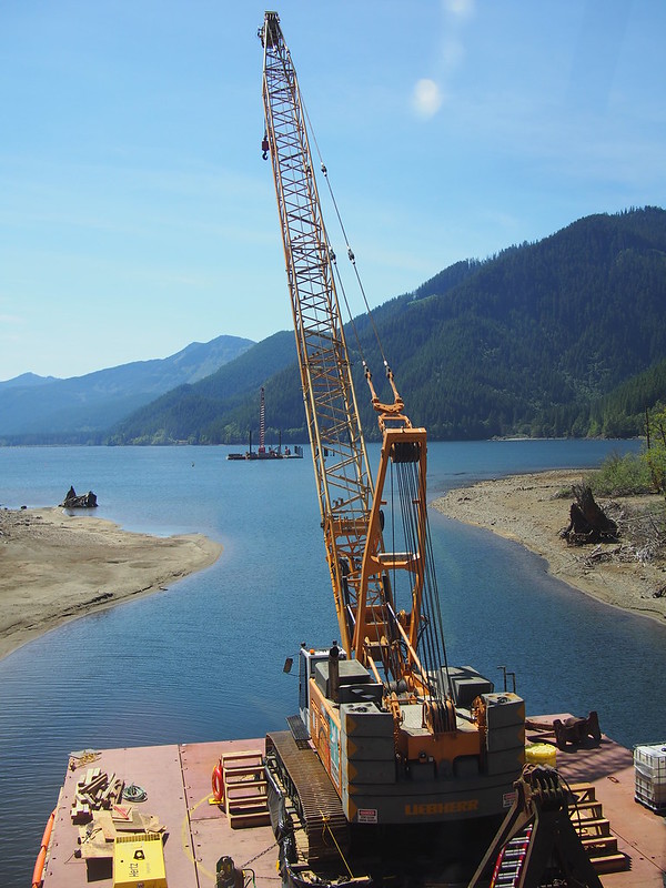
They're doing some pump station work out there, too.
They typically won't use the pump station as the water is usually high enough to make it over the dam, but they're present just in case.
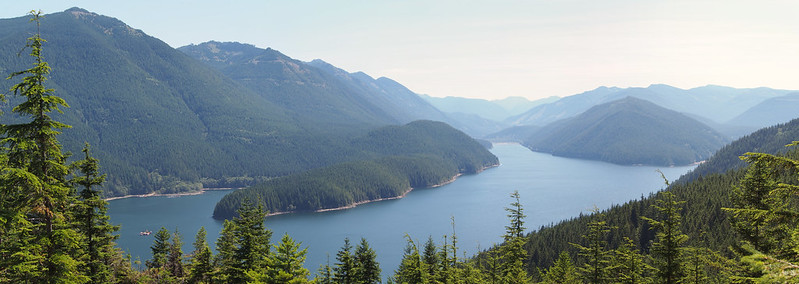
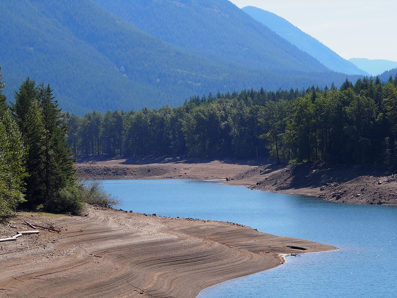
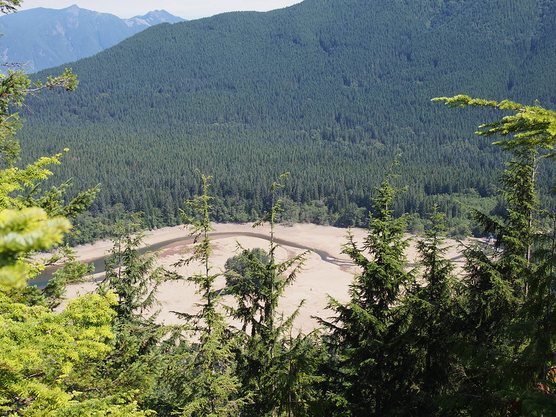
Our last stop was at the vista over both Chester Morse Lake and Masonry Pool.
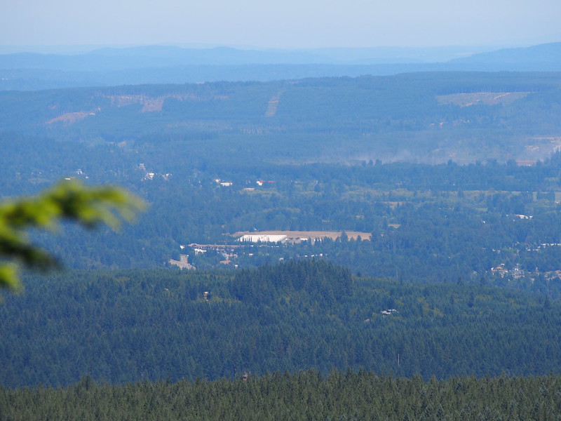
The city of North Bend was also visible from up there.
Chester Morse Lake is the primary reservoir of 2/3 of Seattle's water. It's in decent shape now, but it's not being fed by snow pack or rain. And unlike like Masonry Pool, it doesn't have the porosity problem.
Actually on a tour of the watershed. (@ Cedar River Watershed Education Center in Snoqualmie Valley, WA) https://t.co/FrFpUayNOB
— 竹下憲二 (@takeshita_kenji) August 1, 2015
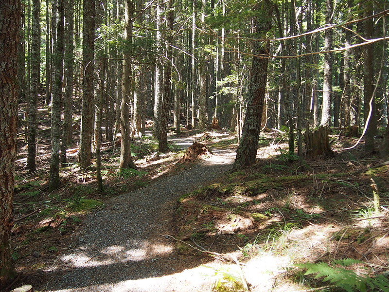
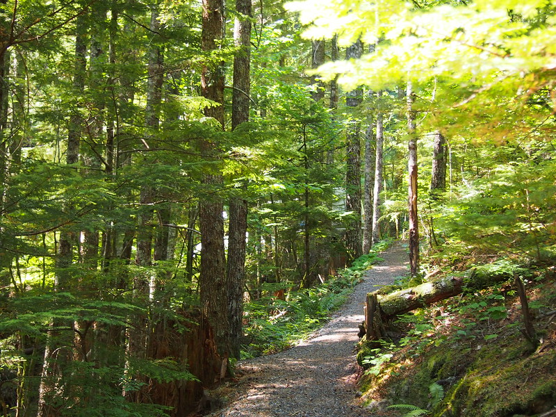
While up there, I learned that most of Western Washington was clearcut in the past (other than really steep stuff, of course) and that many of the forests today are artificial (planted after the land was utterly bare of trees). There was even a railroad around Chester Morse Lake for logging (in addition to many more logging roads than today)! Unfortunately, they were planted haphazardly and without modern-day knowledge, so they're fairly unhealthy.
- The trees were planted far too close together, so they're competing.
- The trees are all too close in age, so they form an effective ceiling.
- The understory is quite bare.
After it was clearcut, the land wasn't worth much at all so Seattle was able to acquire large swaths of it. Eventually (in 1996!), after doing some land swaps with the US Forest Service, Seattle came to own all of the watershed land.
I actually get service up here!
— 竹下憲二 (@takeshita_kenji) August 1, 2015
I also learned that Seattle owns all the water from both of its watersheds (the other being from the Tolt River) and sells it to all the cities in King County that want the water.
Unrelated: One of the other folks on the tour had a shirt from the Alcan Rally, so I had to go look it up.
Alcan Rally information center - http://t.co/WfWnYp7hYh
— 竹下憲二 (@takeshita_kenji) August 1, 2015
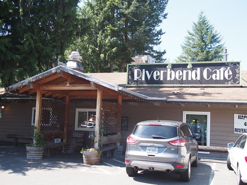
On the way down, my father was kind enough to buy us lunch on the way down at a little cafe we passed on the way up.
I'm at The Riverbend Cafe in North Bend, WA https://t.co/seM4Il2uDk
— 竹下憲二 (@takeshita_kenji) August 1, 2015
No comments:
Post a Comment