After viewing a blog post about this after having bemoaned the lack of connectivity despite its being advertised, I finally checked it out myself.
Pierce County hopes to connect it all up once they get the funding.
Relevant albums:
More after the break…
Valley to South Prairie
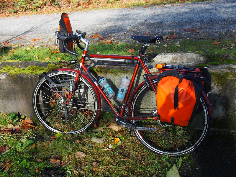
I started my ride at the usual time of 05:00 and basically duplicated the route I took to Franklin. This was my first ride with my new Ortlieb rack bag, which allowed my cargo shorts' lower pockets to be empty.
My legs feel a lot lighter now that the contents of my cargo shorts' lower pockets are in a handlebar bag. #cycling
— 竹下憲二 (@takeshita_kenji) November 8, 2014
Long undershirts are good for the pre-dawn chill in Winter.
— 竹下憲二 (@takeshita_kenji) November 8, 2014
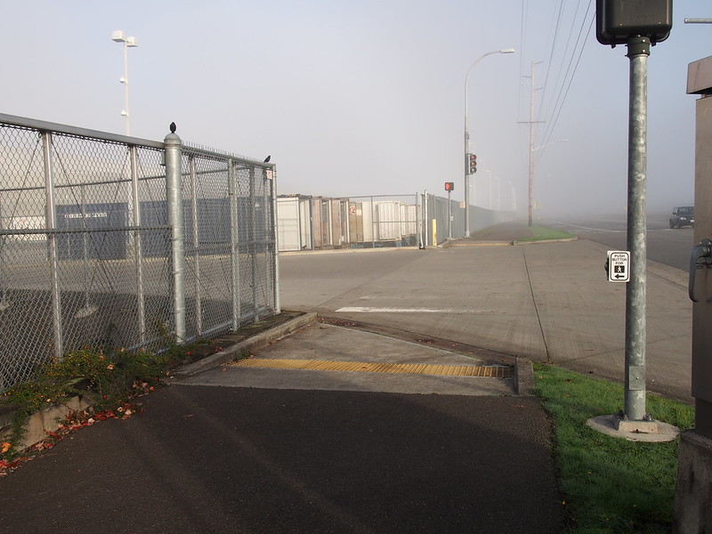
It's a little foggy out.
— 竹下憲二 (@takeshita_kenji) November 8, 2014
I stopped in Kent for coffee this time, at a Starbucks I didn't know existed right on Meeker St.
Decaf to take the edge off the cold. Humid cold is not fun. (@ Starbucks in Kent, WA) https://t.co/e0DaYsDIxD
— 竹下憲二 (@takeshita_kenji) November 8, 2014
Does it seem like people are generally happy online? It's all bickering, arguing, and antagonizing there.
— 竹下憲二 (@takeshita_kenji) November 8, 2014
I tuned my front derailleur the night before, and adjusted the cable tension on my rear derailleur a little after Starbucks.
Tuned my derailleurs up on my own for the first time today. Changing gears is super smooth now.
— 竹下憲二 (@takeshita_kenji) November 8, 2014
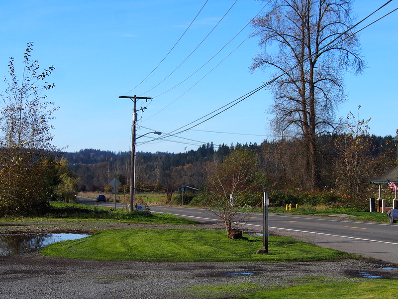
My route took me along SR-165 for a bit before I jumped onto the Foothills Trail to ride it out to South Prairie.
I'm at S Prairie in S Prairie, WA https://t.co/yEs9NI5jwJ
— 竹下憲二 (@takeshita_kenji) November 8, 2014
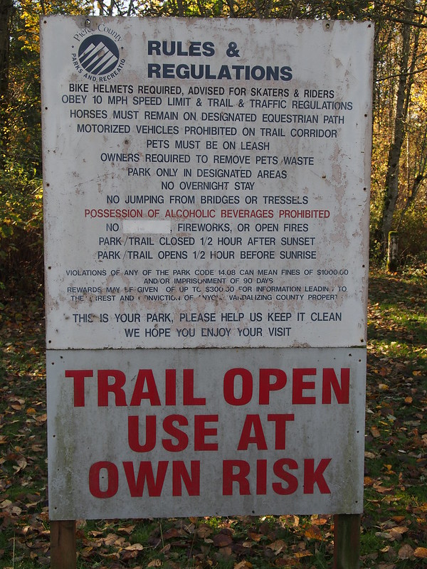
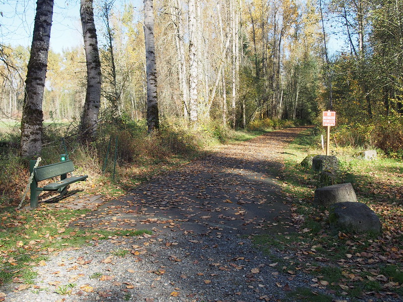
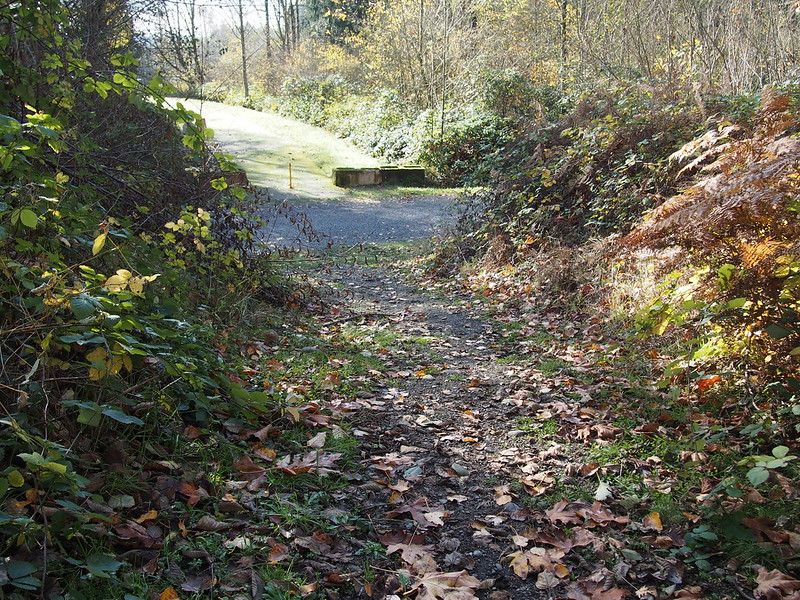
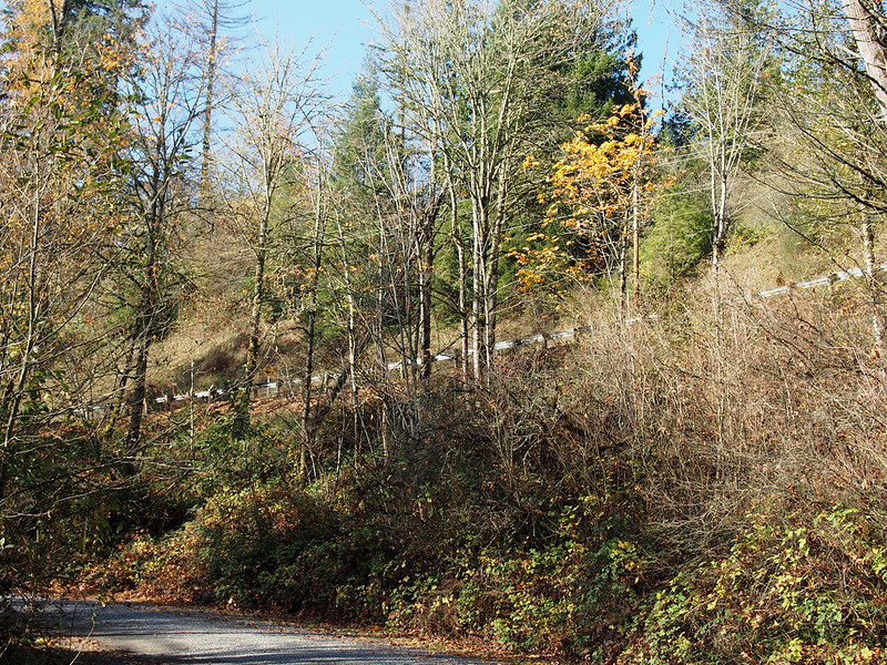
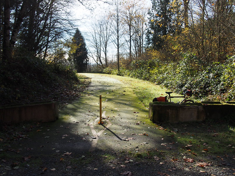
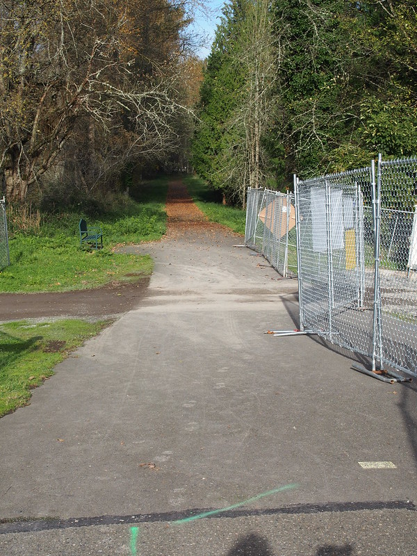
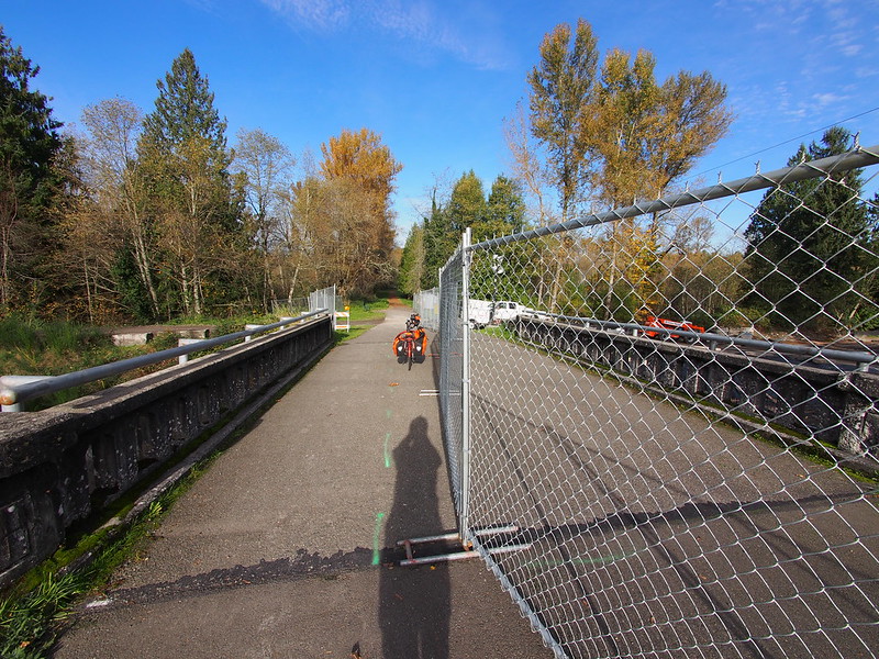
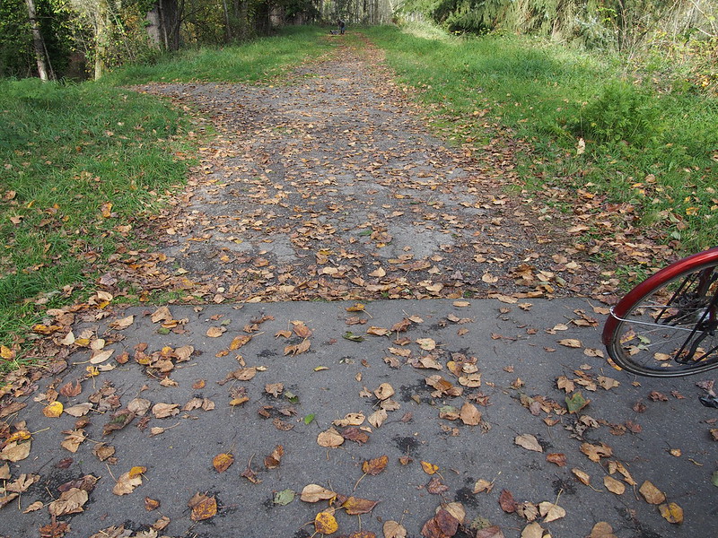
I stopped at the end of this section of the trail to show where it currently ends, as the main point of this ride was to document the current state of it.
And then I got onto the highway, but I wasn't alone on the shoulder: a guy on an unladen mountain bike passed me on a level section and chatted with me for a bit. I ended up keeping up with him up the hill. A couple of guys on road bikes zoomed down the hill in the other direction when we were partway up.
I wasn't the only cyclist up the highway incline out of South Prairie.
— 竹下憲二 (@takeshita_kenji) November 8, 2014
A female passenger shouted "Asshole!" at me for riding well within the highway shoulder. Isn't #America a lovely place? #cycling
— 竹下憲二 (@takeshita_kenji) November 8, 2014
I only responded with a quizzical shrug.
Foothils Trail Exploration
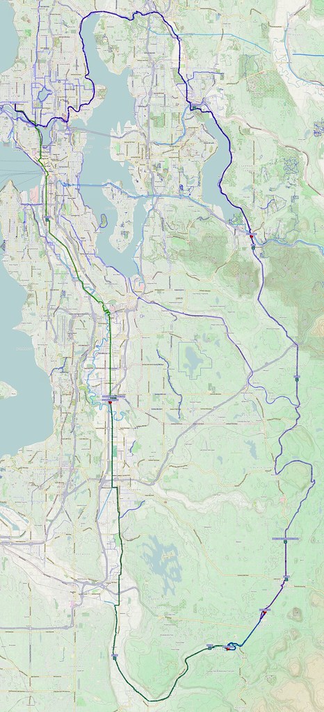
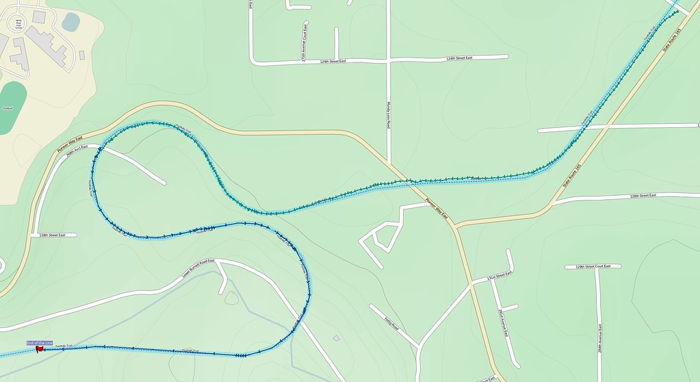
My directions and map indicated a couple roads that should've gotten me on the trail quickly, but I had to make the left onto it later. This was at the southernmost end of the paved section in Buckley, shown on the map below in the upper right corner where the green line becomes red.
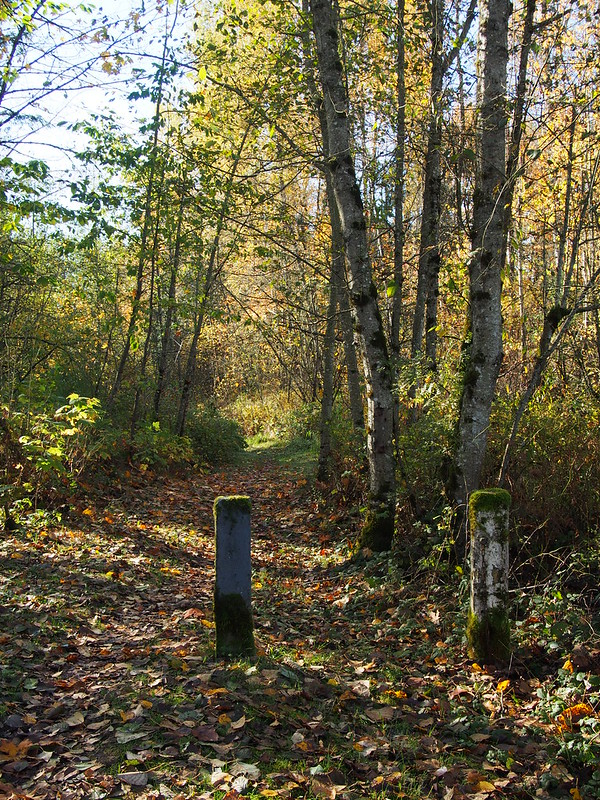
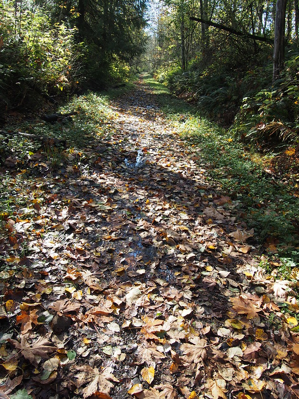
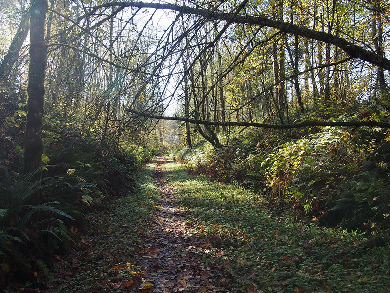
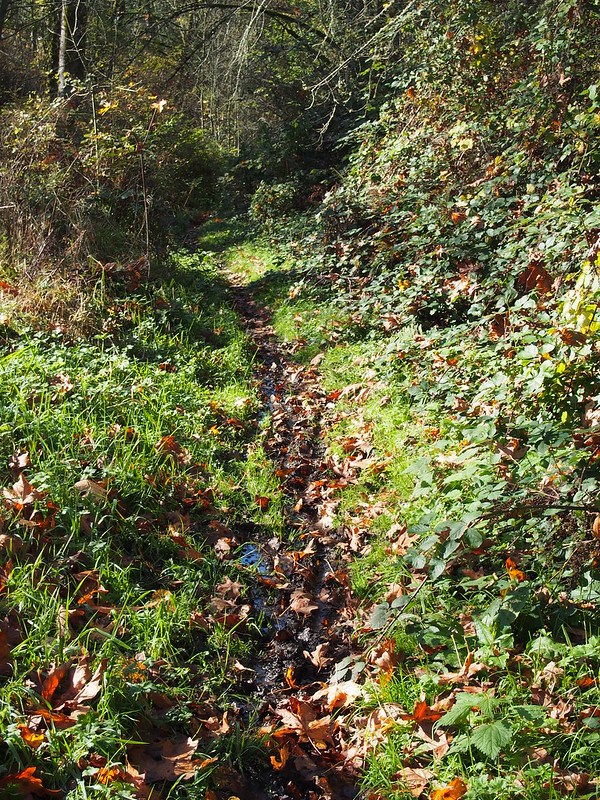
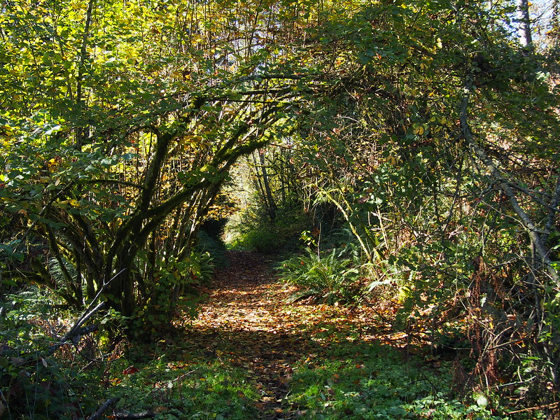
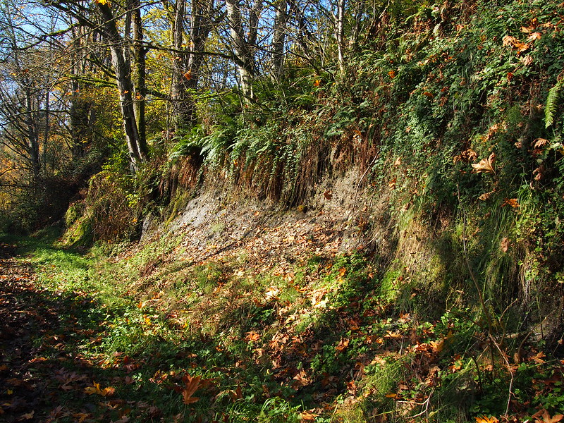
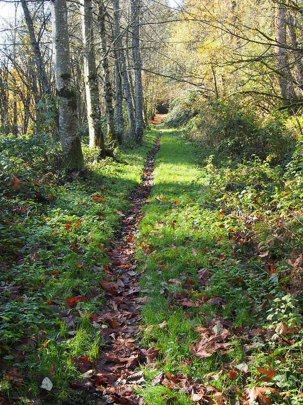
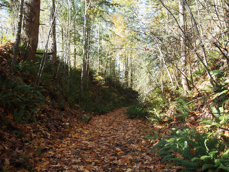
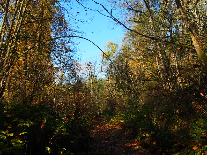
Much of the northern half of the section of trail I followed out here was neither paved nor covered with gravel; it was mud, leaves, and tree roots. Some folks apparently do ride through here, as I saw either mountain bike or dirtbike treads in a lot of the mud. It'd probably be some fun single-track riding.
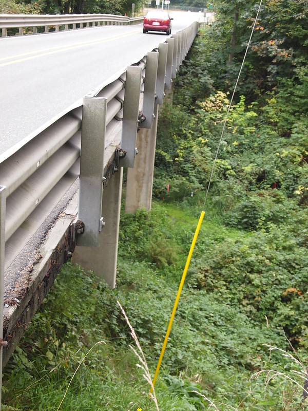
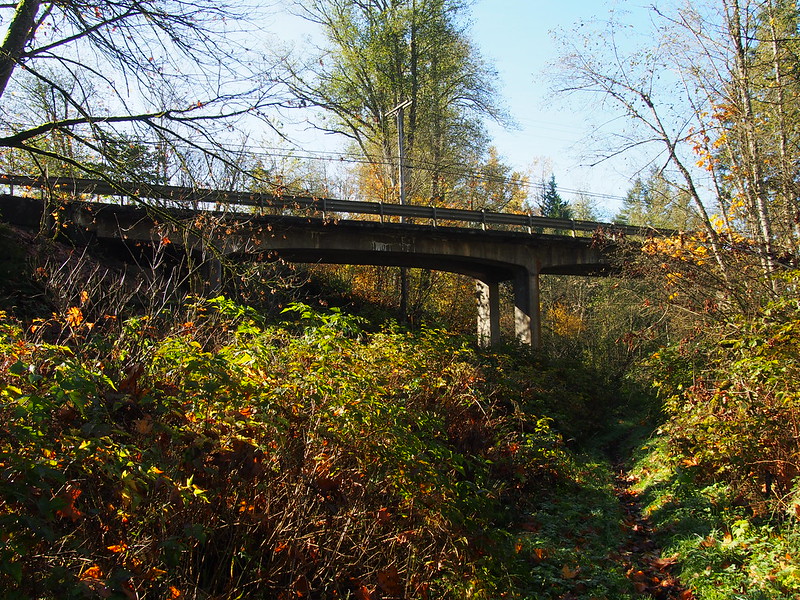
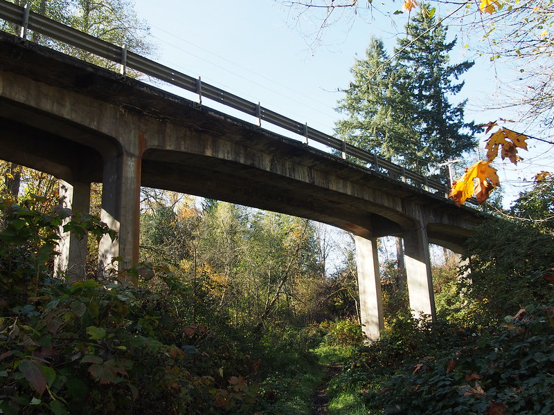
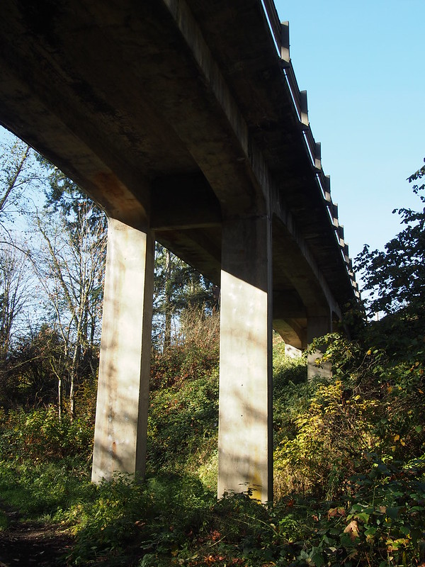
I eventually passed under the highway bridge I often ride over. This photo from last time also shows where I was:
My view this time:
I wasn't expecting cyclocross level mud up there!
— 竹下憲二 (@takeshita_kenji) November 8, 2014
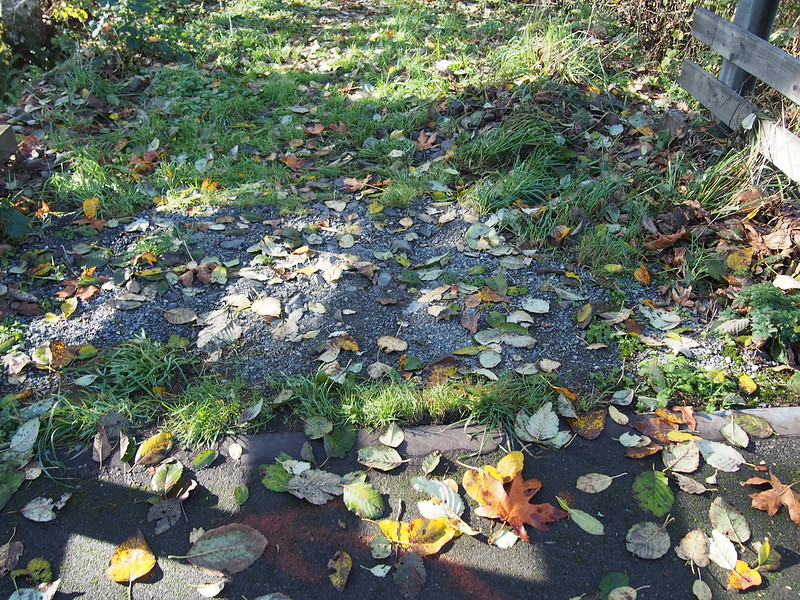
And then I found the end of this section, with the paved trail entrance in the distance! That would be where the red turns back to green on the map.
From there, the highway is also visible.
My bike was pretty dirty after all that.
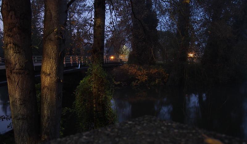
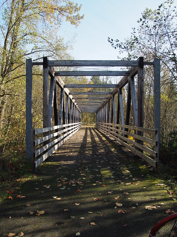
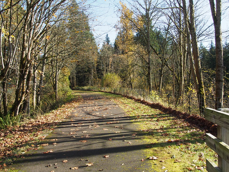
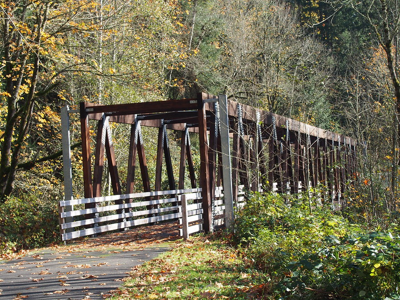
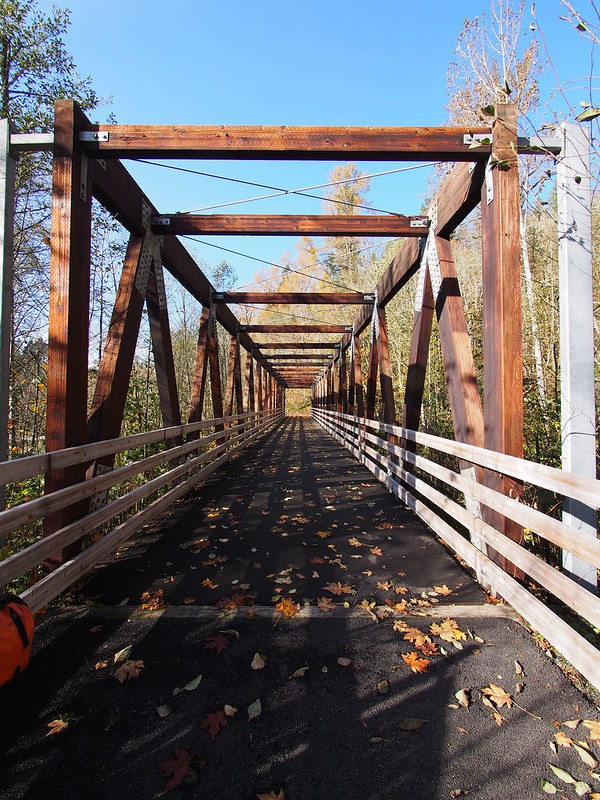
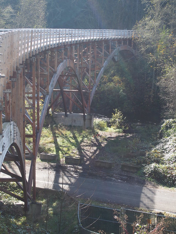
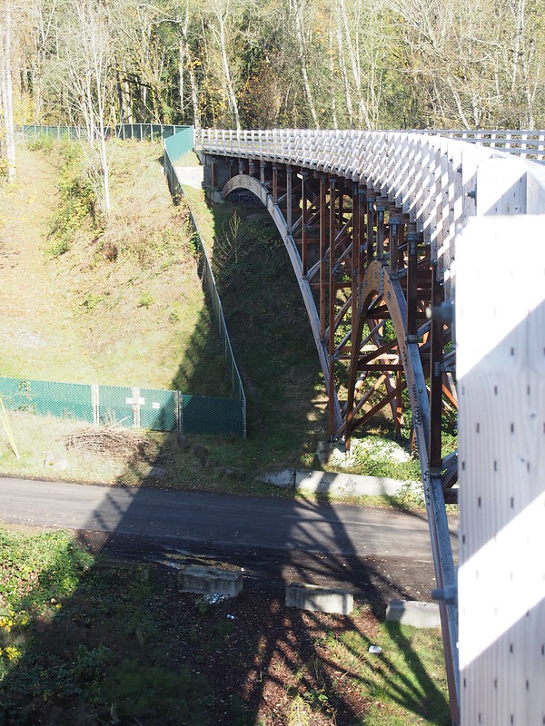
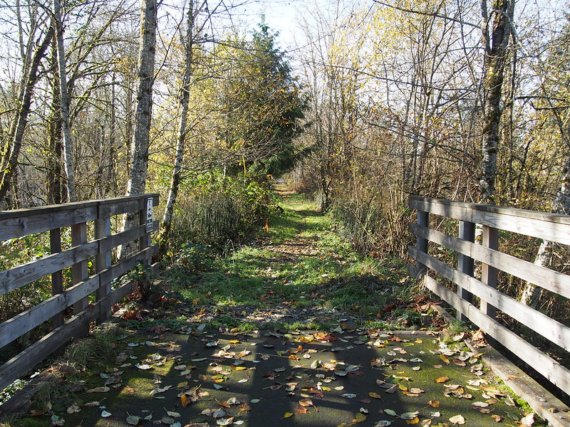
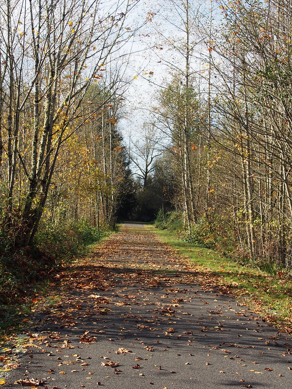
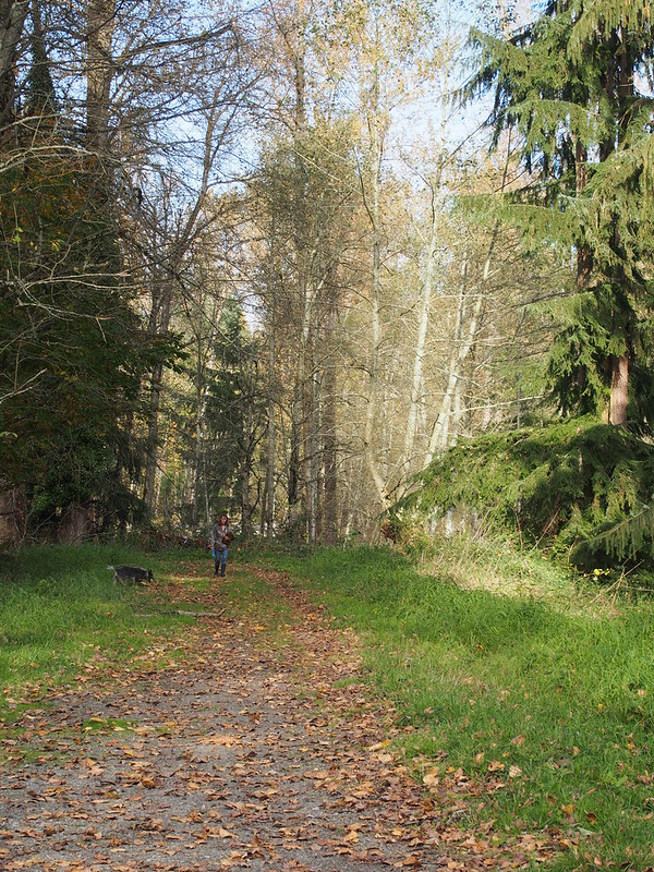
The paved trail was absolutely beautiful. It went over bridges:
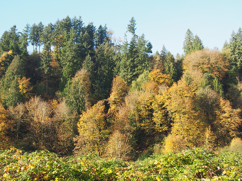
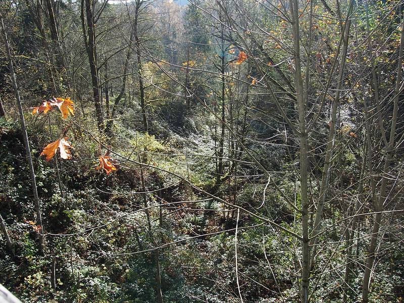
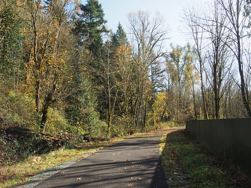
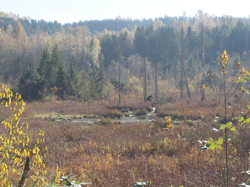
Then followed the contour of a hill down, with a valley visible to the right:
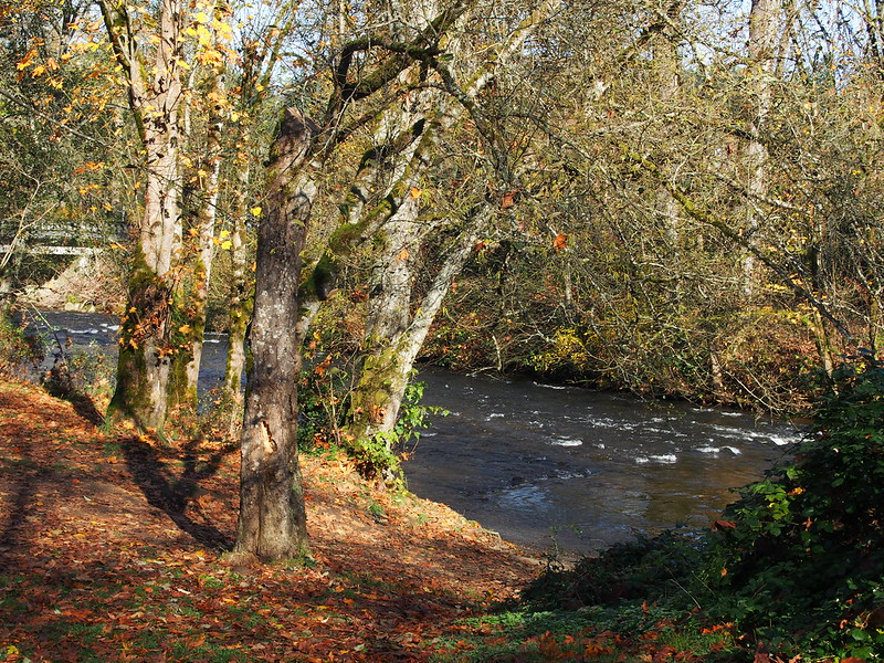
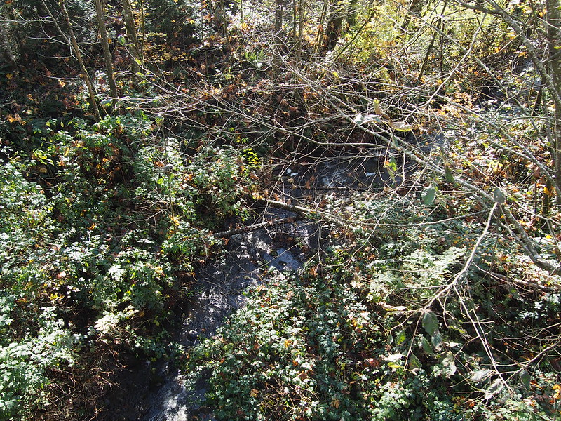
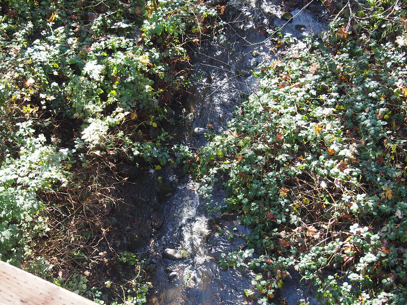
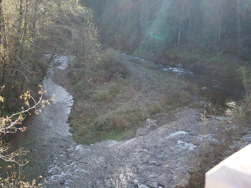
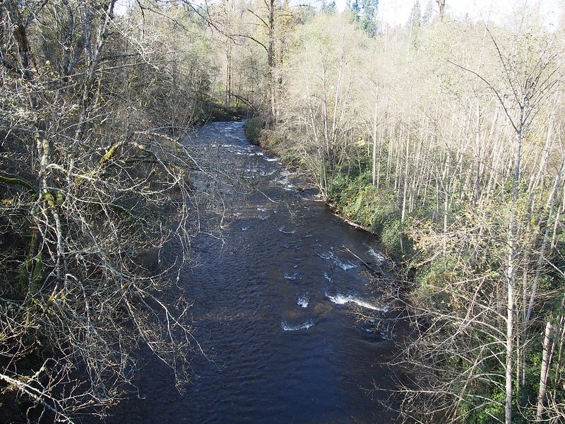
And crossed over a couple of rivers:
You don't get to see cool stuff like this by staying in Seattle!
— 竹下憲二 (@takeshita_kenji) November 8, 2014
There was only one guy walking his dog out there, and what looked like a recently abandoned truck.
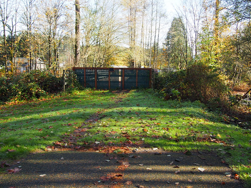
Soon enough, I reached the end of it, and saw a gate in the distance.
I then headed back up the trail, which was a rather easy grade.
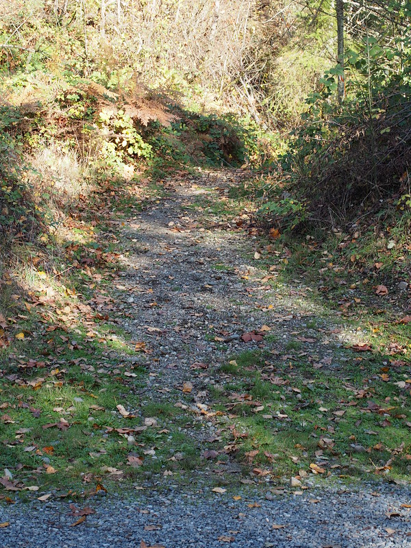
But rather than deal with all that mud again, I just exited via a private gravel road, the only other way to access the trail.
To Issaquah
I went up the highway again, but this time without any people shouting curses at me.
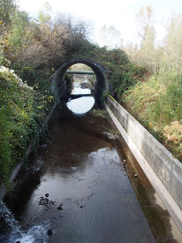
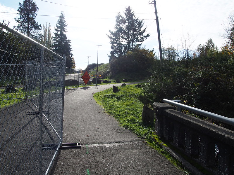
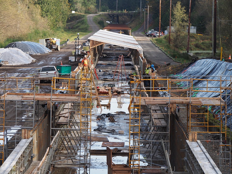
Rather than just going through Buckley without stopping, I went back onto the Foothills Trail to see where it ends. This took me down a steep hill and over the flume for Lake Tapps, which was under construction.
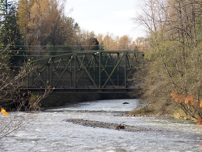
The bridge looked like it might've been an old highway bridge.
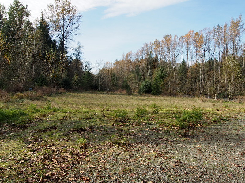
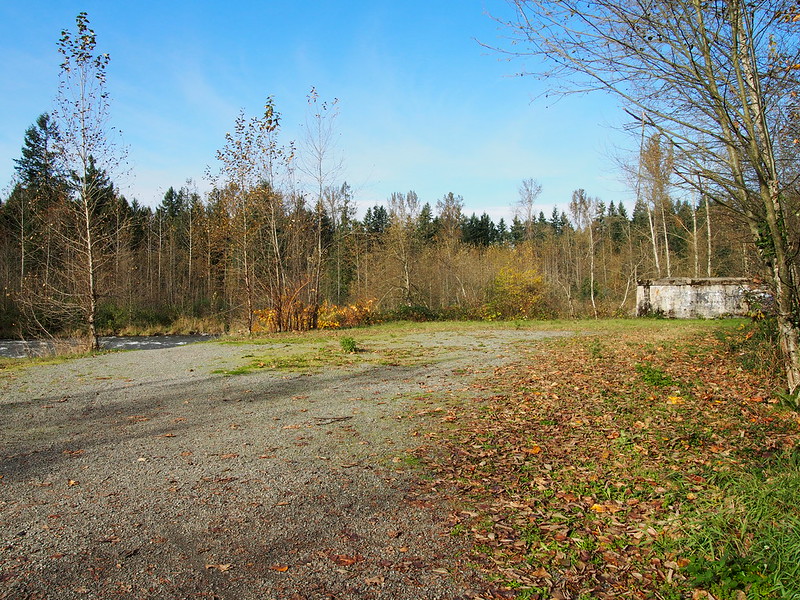
And then I went to the end of the trail itself.
There was very little there.
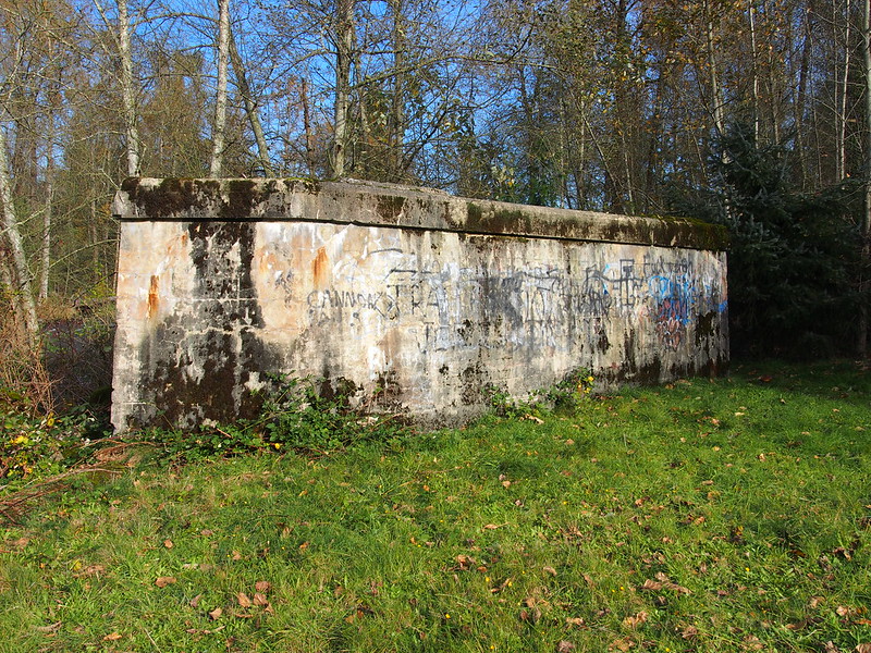
This old bridge pier was still present, likely the remains of the railroad bridge across the White River which is long gone.
The highway bridge:
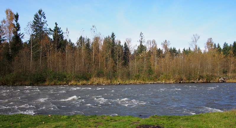
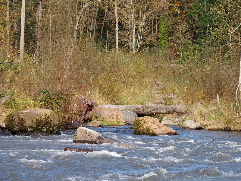
There were also some kids on the other side of the river, on what appeared to be the other pier of that old bridge.
I next went back up the hill and got onto the highway to head along my route.
I stopped just north of Enumclaw, originally for water but then I ended up getting a couple other things.
Water plz. (@ Krain Corner in Enumclaw, WA) https://t.co/Uu1PY08hcJ
— 竹下憲二 (@takeshita_kenji) November 8, 2014
That water looked and tasted suspiciously like blackberry cobbler and an Italian soda.
— 竹下憲二 (@takeshita_kenji) November 9, 2014
And then I headed up the same route as last time, not stopping until I got to Hobart.
Controlled sugar rushes are very useful when #cycling.
— 竹下憲二 (@takeshita_kenji) November 9, 2014
Ravensdale to Hobart is a bit of a challenge, but Hobart to Issaquah is mainly downhill.
— 竹下憲二 (@takeshita_kenji) November 9, 2014
I find foothills to be more physically invigorating than valleys. #cycling
— 竹下憲二 (@takeshita_kenji) November 9, 2014
I've been working on teaching myself how to lift out of the saddle to use my weight as leverage. #cycling
— 竹下憲二 (@takeshita_kenji) November 9, 2014
I continued to Issaquah as it started to darken outside. I wasn't alone out there, either.
I tailed a guy on a mountain bike, and ended up drafting behind him as I entered the Issaquah city limits. #cycling
— 竹下憲二 (@takeshita_kenji) November 9, 2014
I stopped at the usual espresso stand in Issaquah, and saw the same barista I saw last December. She was working through beauty school since she really didn't want to work in coffee long-term.
Speaking of sugar. (@ Koffee Sutra in Issaquah, WA) https://t.co/b7BDbhCyEe
— 竹下憲二 (@takeshita_kenji) November 9, 2014
Even with a hot drink, it was pretty cold. I had to bundle up some for warmth.
Return Home
The traffic was really thick in Issaquah along the main road, so I went along the Rainier Trail instead. It was fine for a while, but I had to run across a major street where there was no crosswalk nearby (street view).
I made my way to East Lake Sammamish Parkway, where I had to deal with lots of oncoming car headlights as it was pretty dark at that point.
While I was able to use the trail in downtown Issaquah to escape the traffic, it didn't save me from the…
— 竹下憲二 (@takeshita_kenji) November 9, 2014
…section of the East Lake Sammamish that has no shoulder, which is somehow scarier in the dark.
— 竹下憲二 (@takeshita_kenji) November 9, 2014
Finally getting to Marymoor Park was a relief.
I'm at Marymoor Park - @iheartkcparks in Redmond, WA https://t.co/ZrhISXlb3E
— 竹下憲二 (@takeshita_kenji) November 9, 2014
Much of the rest of the ride will be a reprieve from oncoming high beams.
— 竹下憲二 (@takeshita_kenji) November 9, 2014
I rode the rest of the way home without food breaks and without much in the way of events. The trail was mostly empty, but I did see a cyclist every few miles.
I'm at Wilmot Gateway Park in Woodinville, WA https://t.co/ygYKZNqwrt
— 竹下憲二 (@takeshita_kenji) November 9, 2014
'Tis the season for dynamo lighting. #cycling
— 竹下憲二 (@takeshita_kenji) November 9, 2014
Long undershirts are good for the post-dusk chill in Winter.
— 竹下憲二 (@takeshita_kenji) November 9, 2014
Through UW, I took the bike detour to NE 40th St, but went along the sidewalk past the construction. I heard that the construction is supposed to finish by the end of the month, though.
A bunch of folks currently in Ballard are demonstrating how poorly they know the street layout.
— 竹下憲二 (@takeshita_kenji) November 9, 2014
- One driver drove the wrong way along a one-way road in Ballard, only to make a right when he could've gone the correct way and made a left to get to the exact same intersection.
- Another driver made a left and a right when they could've just gone straight as is the norm for locals.
Considering how it was a Saturday night and the local bars are pretty popular for folks from elsewhere, stuff like this isn't too uncommon.
Even though this ride took far longer than it should've for the distance covered I got all of the photos I was looking for.
— 竹下憲二 (@takeshita_kenji) November 9, 2014

No comments:
Post a Comment