I decided to celebrate the Summer solstice with a ride into the mountains.
I managed to crank out 154 miles yesterday. I hope everyone else enjoyed the solstice. #cycling https://t.co/JtRMLqEuk8
— 竹下憲二 (@takeshita_kenji) June 23, 2014
More after the break…
Part 1: To Monroe (SR-522)
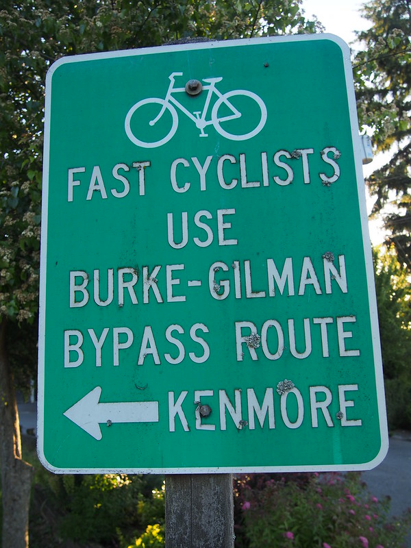
I started at the usual time around 05:00. My rear brake was rather noisy so I stopped to fix it rather close to home, but then proceeded east along the Burke-Gilman Trail. I don't normally start one of my long rides with this trail, but it made more sense than any alternatives this time.
There are a few signs like these along the trail.
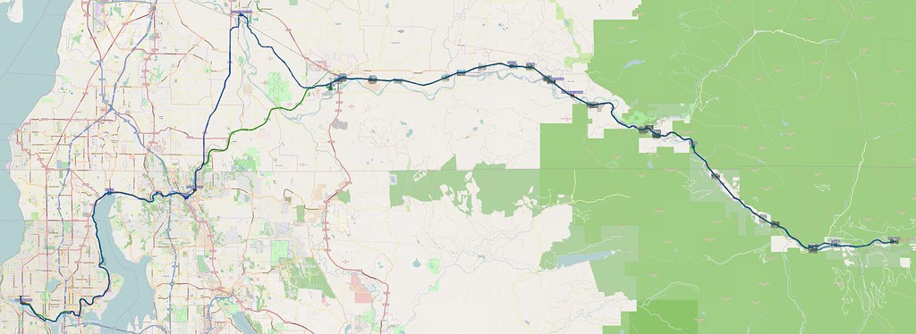
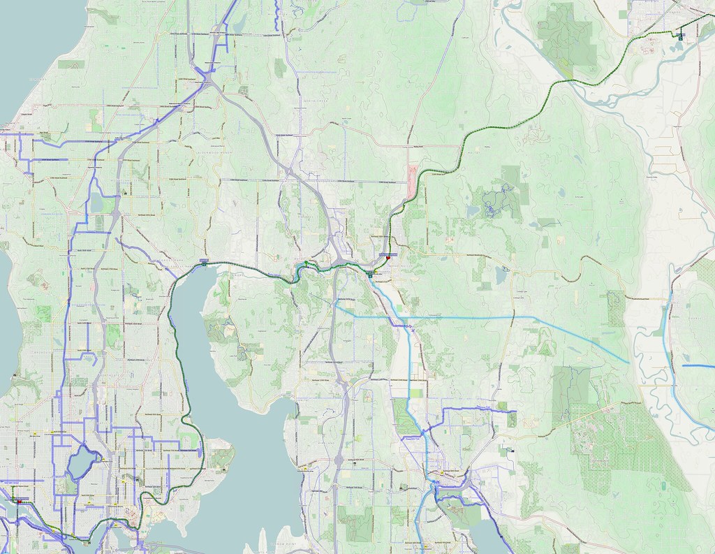
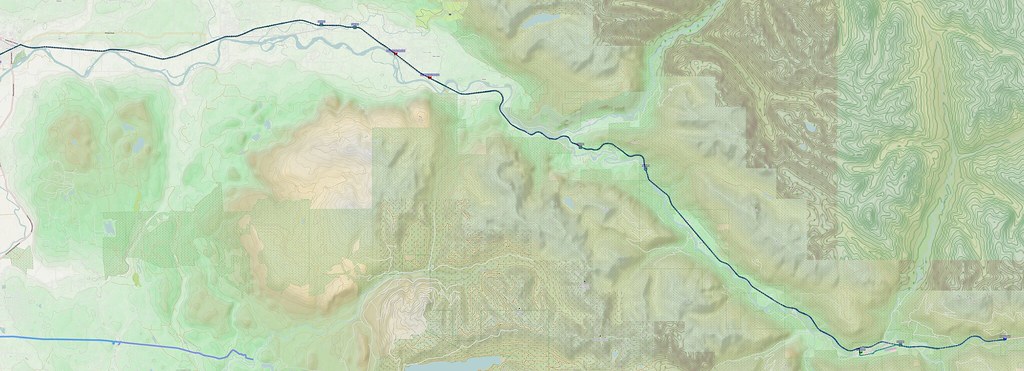
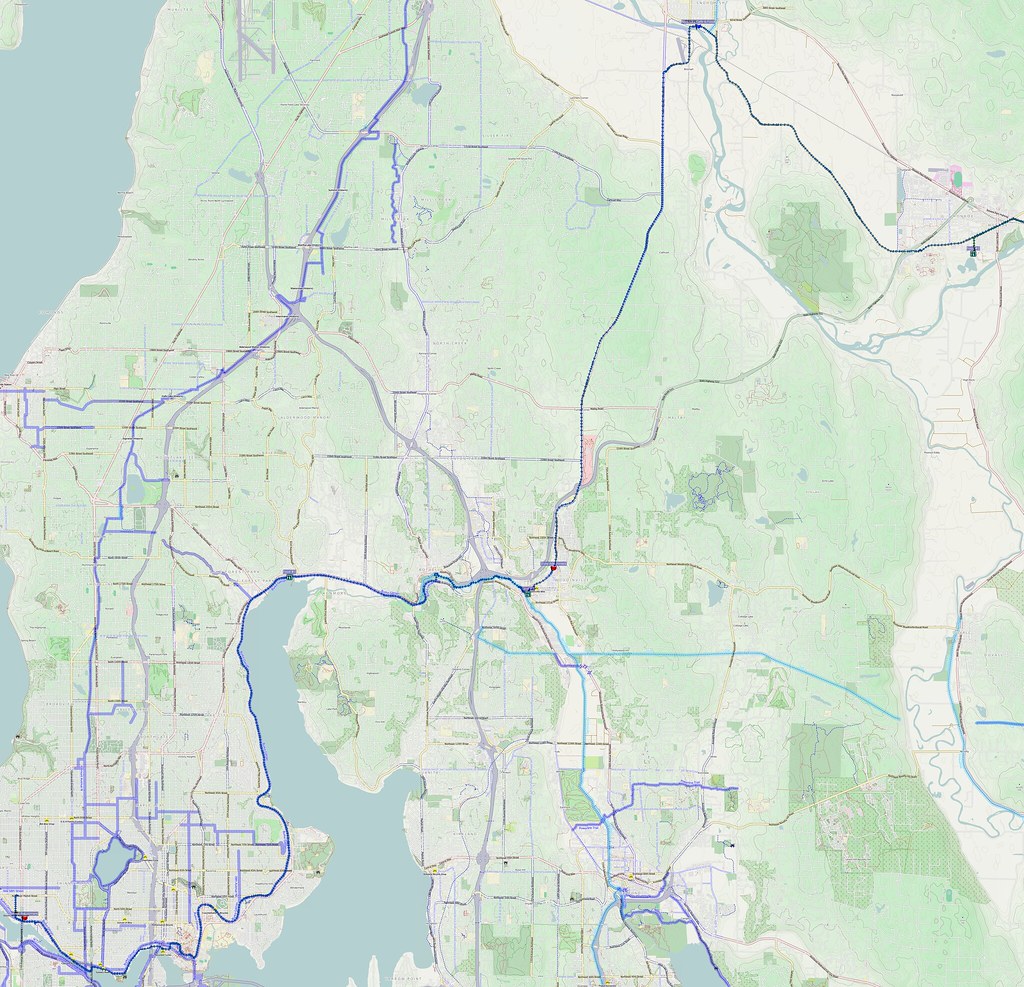
I found a map of the route, then transcribed it here.
I'm at Log Boom Park (Kenmore, WA) http://t.co/PaTl7JSaeJ
— 竹下憲二 (@takeshita_kenji) June 21, 2014
When I got to Wilmot Gateway Park (my usual entrance to the BGT from points north), I left the trail and did my "from SR-9" route in reverse until I got to the junction with SR-522, when I got onto the highway's shoulder. There was a stiff climb over the ridge that devised the Sammamish River Valley and Snoqualmie/Snohomish River Valley, but none of that was too bad.
When I got to the area where it's being widened, the shoulders became very narrow or nonexistent. Unfortunately, there are only two general purpose lanes there, and there are posts separating them. This means that a lot of cars passed very close to me, and it was particularly nerve-racking when RVs did that. There's this spooky whoosh of air when a flat-fronted vehicle goes by. I was lucky enough to be able to time my riding through uphill shoulderless sections so that I was using long timeslots without any cars.
SR-522 was actually quite nice…until I hit the construction area where they were widening it.
— 竹下憲二 (@takeshita_kenji) June 21, 2014
I stopped at a local park to use the restroom and eat. There was some sort of children's sporting event going on there.
I'm at Monroe Rotary Field http://t.co/thVgP5oNGI
— 竹下憲二 (@takeshita_kenji) June 21, 2014
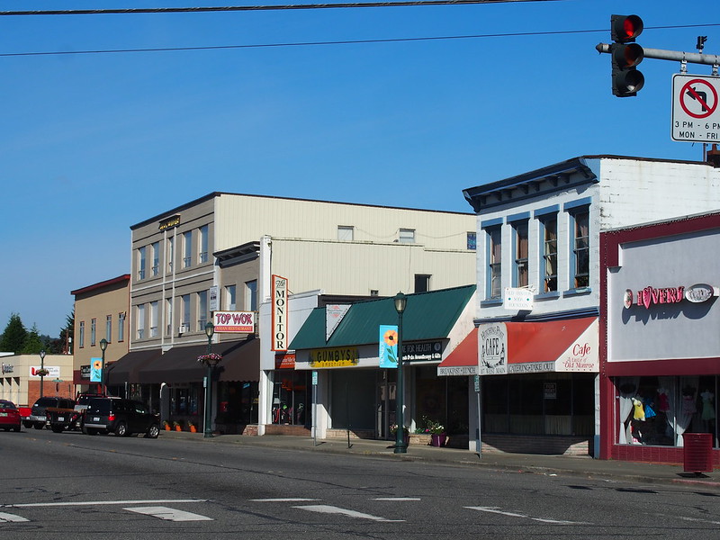
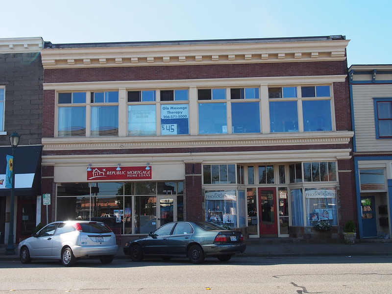
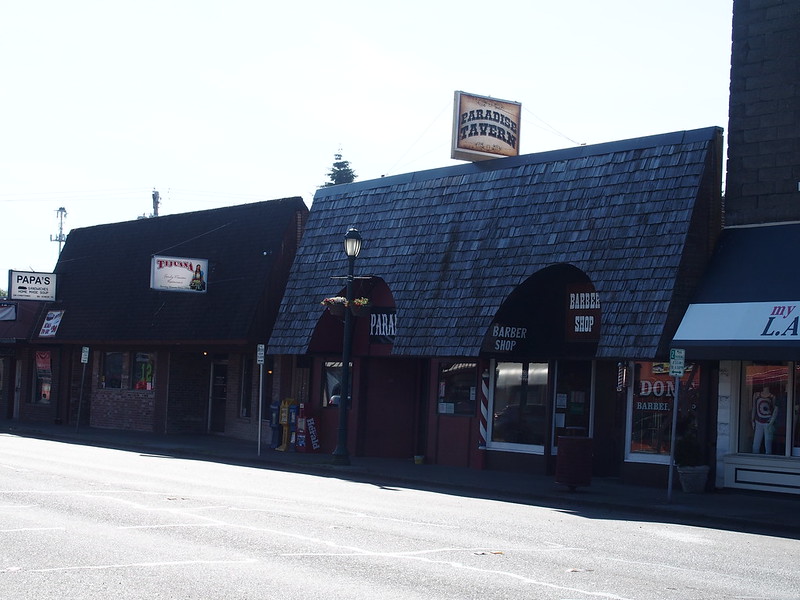
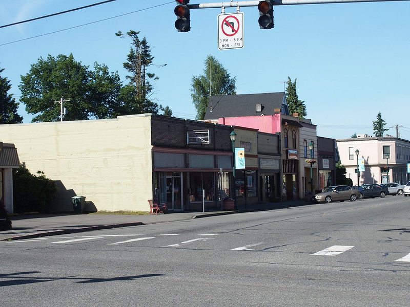
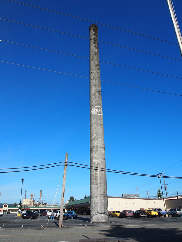
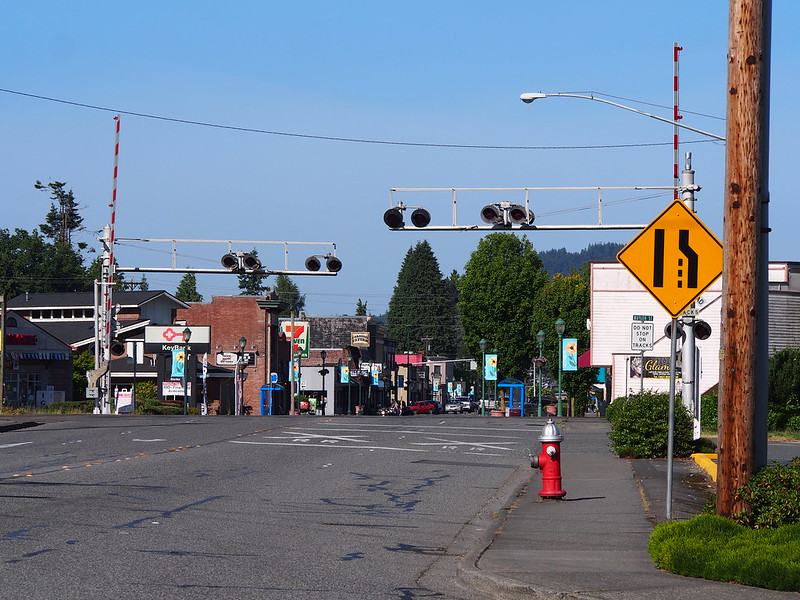
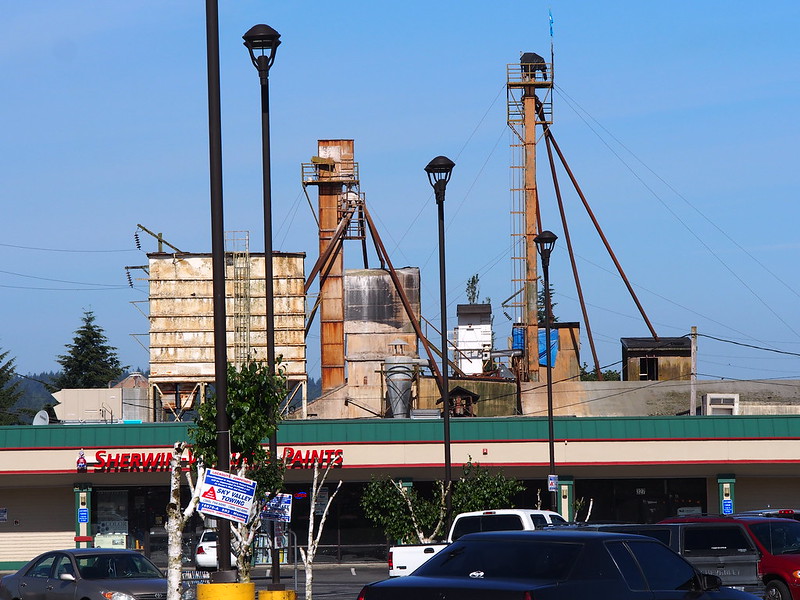
From there, I went through downtown Monroe to get to US 2.
And onto the highway I went.
Part 2: US 2
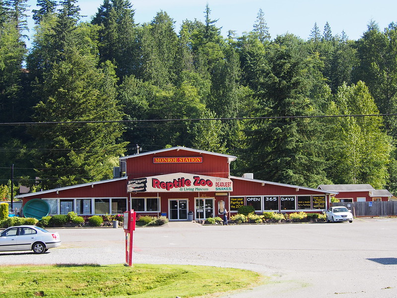
The start of the rural section of US 2 was marked by a bit of a hill out of Monroe. I then passed by the Reptile Zoo. I recall an elementary school assembly when one of the guys from the zoo did a show for all the students. The huge python is what sticks out in my memory most from the show.
I then entered Sultan, where I was greeted with a guy with a huge flag and a camo hat.
Some guy was jogging along the side of the highway while carrying a huge American Flag overhead as I entered Sultan.
— 竹下憲二 (@takeshita_kenji) June 21, 2014
I saw a sign for this place that caught my attention.
"Lake Bronson Nudist Park."
— 竹下憲二 (@takeshita_kenji) June 21, 2014
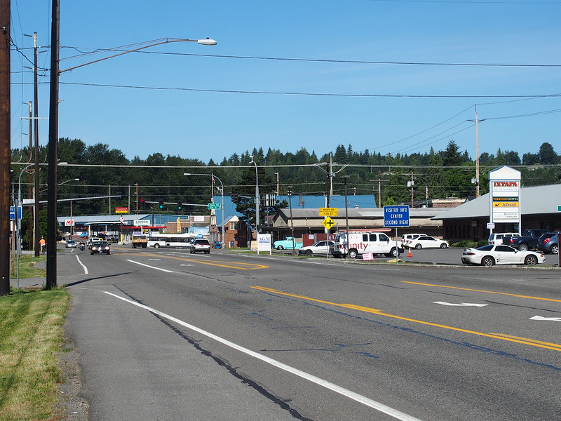
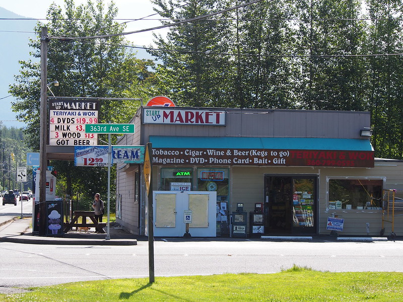
I then passed through the community of Startup.
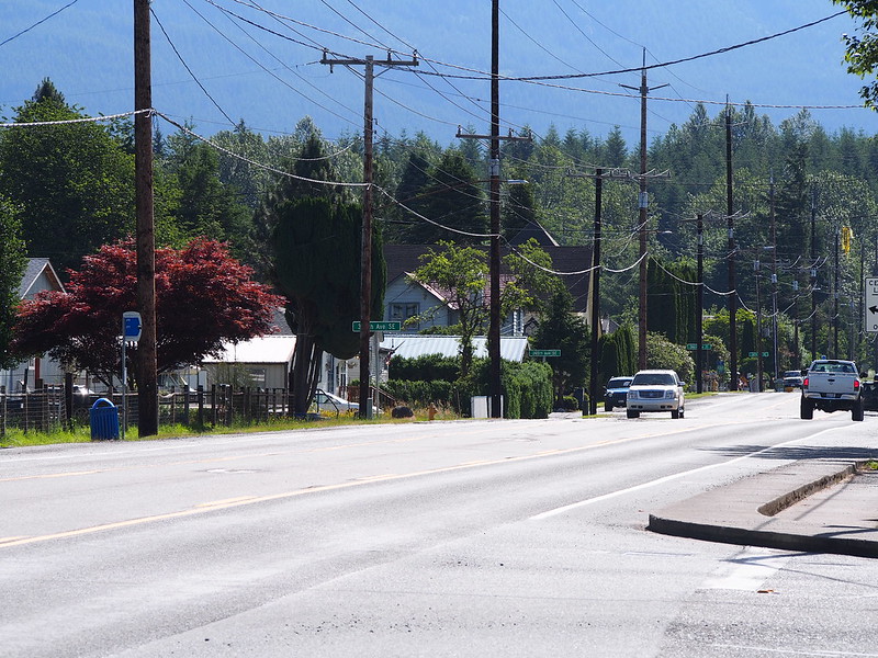
US 2 is pretty nice.
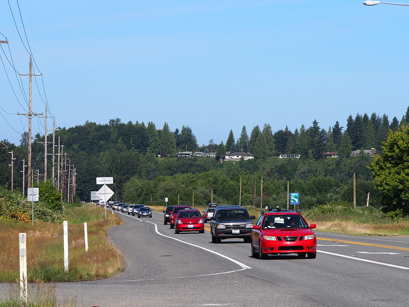
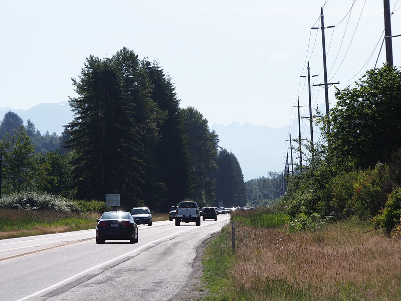
Traffic was surprisingly heavy on the road despite its having only two lanes.
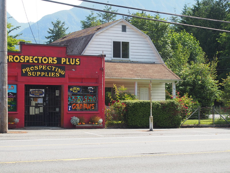
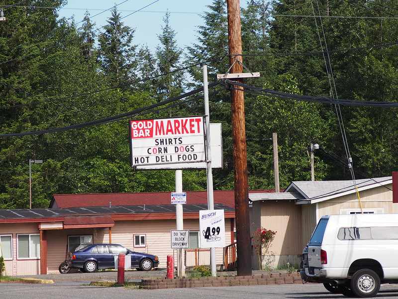
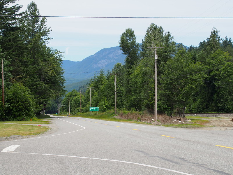
Next up: Gold Bar. There was a shop there that was selling stuff for prospecting for gold.
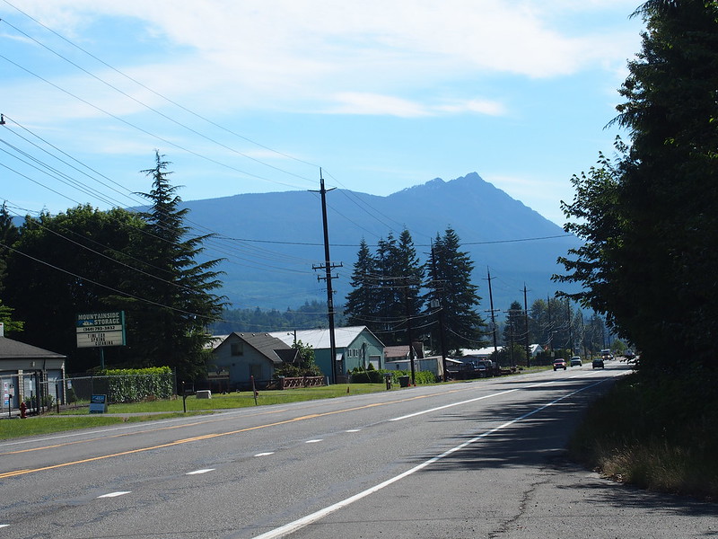
The mountains started to make themselves known here.
This is also the easternmost reach of Community Transit along US 2.
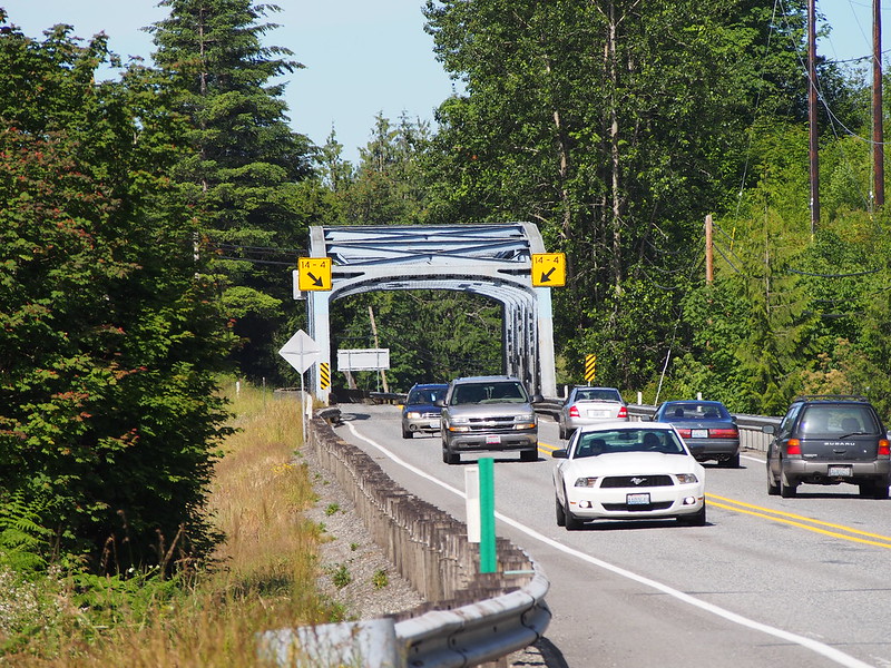
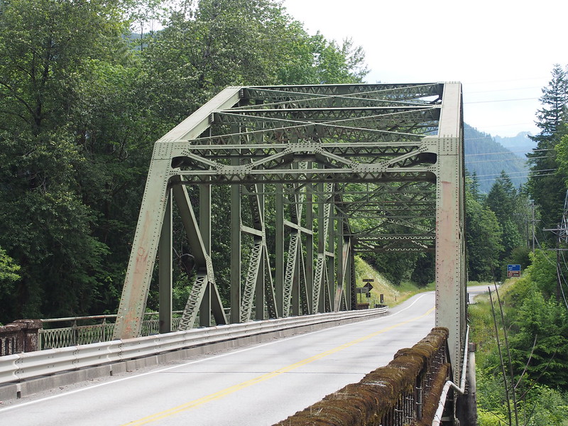
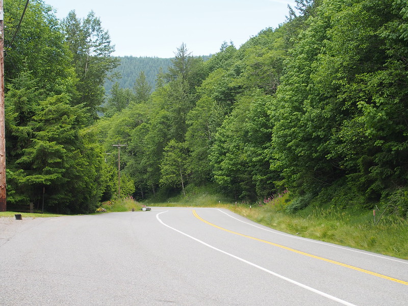
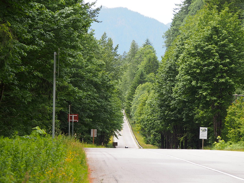
After Gold Bar, the nature of the highway really began to change: grades became steeper, hills became more common, the road was narrower much of the time, and old, narrow bridges became more common. There were passing lanes, slow vehicle shoulders, and chain-up areas.
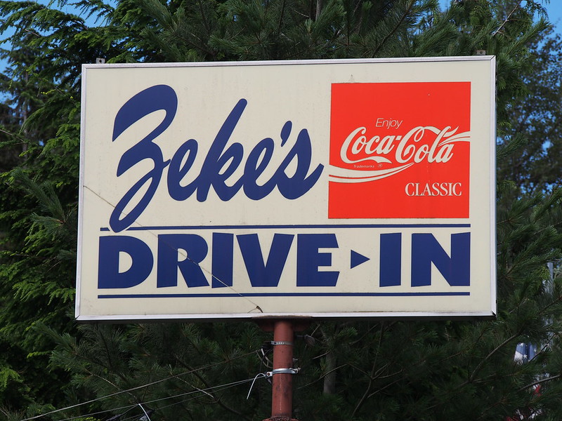
Tourist traps and diners also were peppered along the route. (The below diner was busy when I rode by it again on my return trip.)
There was a significant climb just before my next stop. I was surprised because I was able to do a lot of this climbing without resorting to my smallest chain ring, which I would normally have to do.
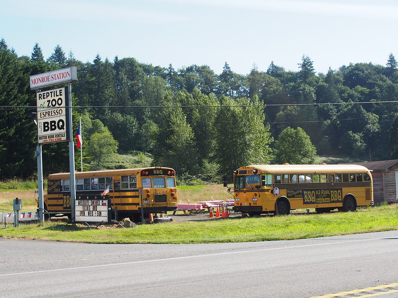
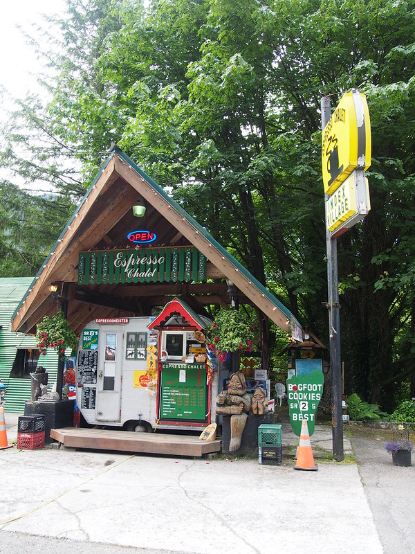
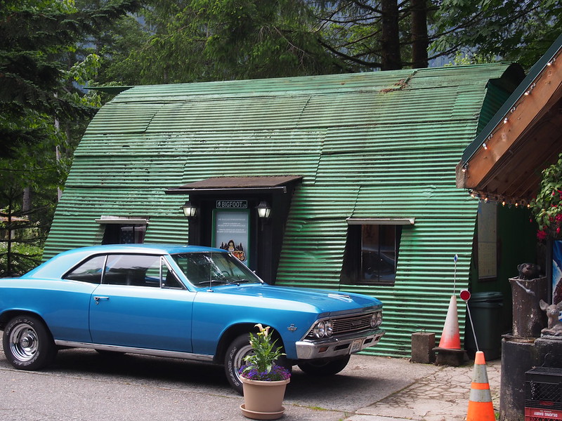
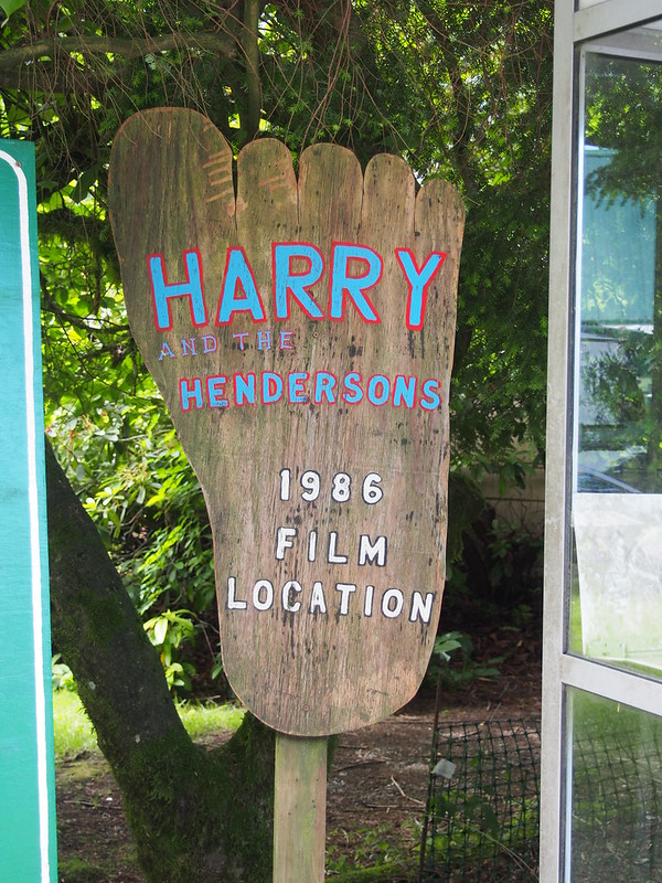
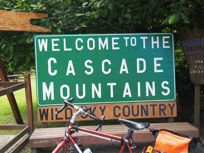
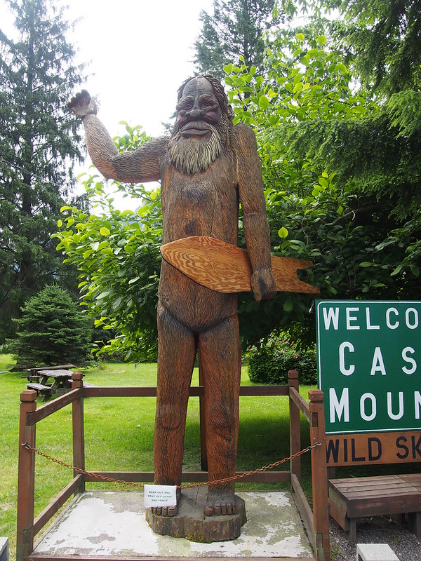
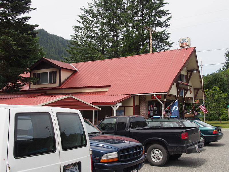
I stopped at a little espresso stand for the adjacent restroom. Around it were signs talking about how this wan the area where Harry and the Hendersons was shot. The movie is centered around Bigfoot. There was also a long line at the stand itself, even though this was the middle of nowhere.
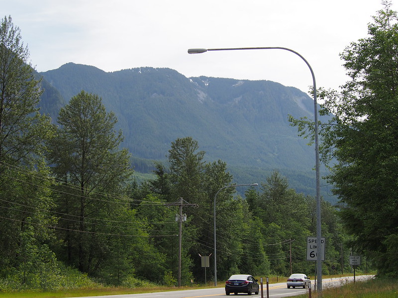
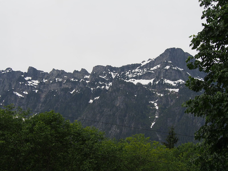
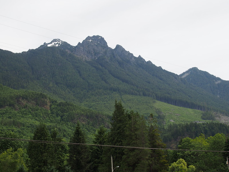
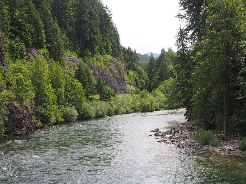
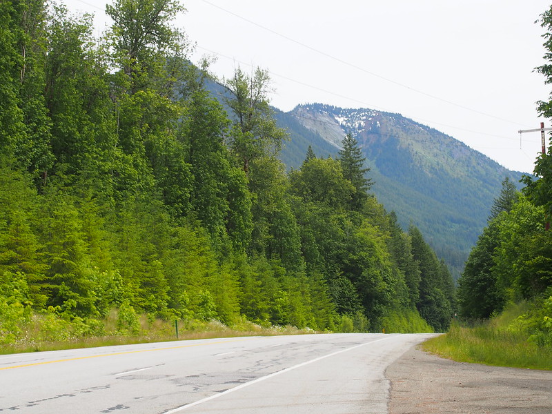
It was basically impossible to ignore the mountains at this point. It also seemed like I was entering and exiting the Mount Baker–Snoqualmie National Forest very often.
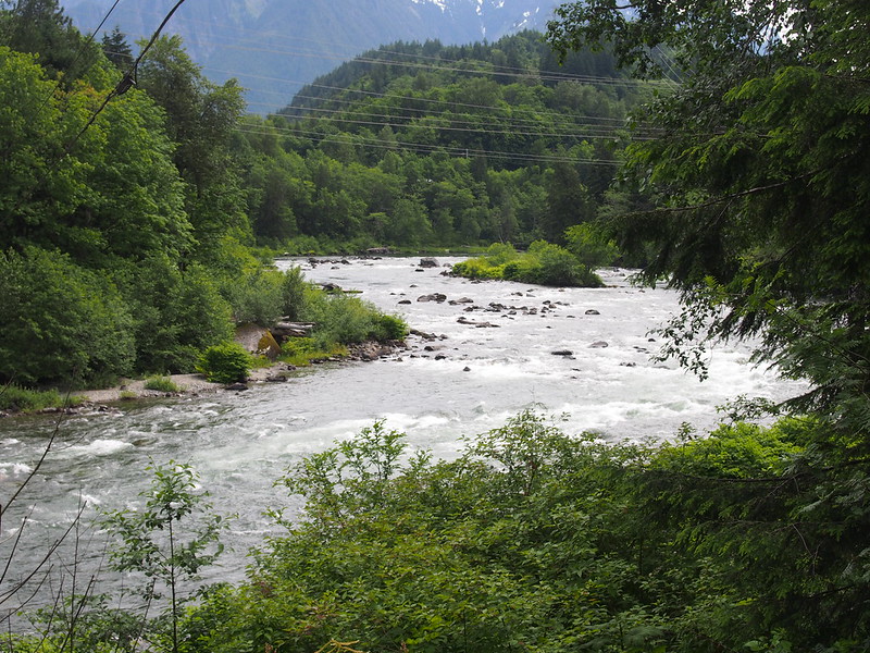
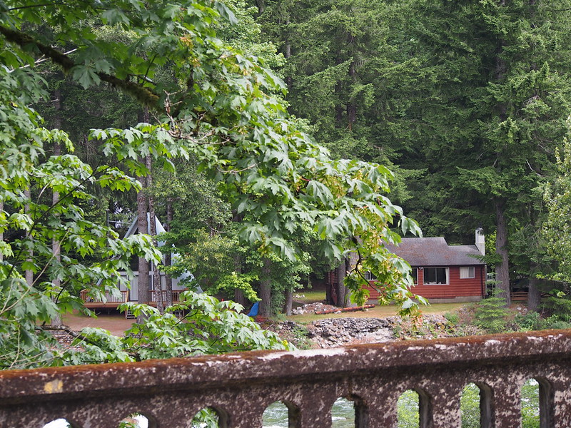
I ended up coming across the old route of US 2 a bit before Skykomish. As is indicated by the map at the time of this post, the route appears have been washed out by the Miller River.
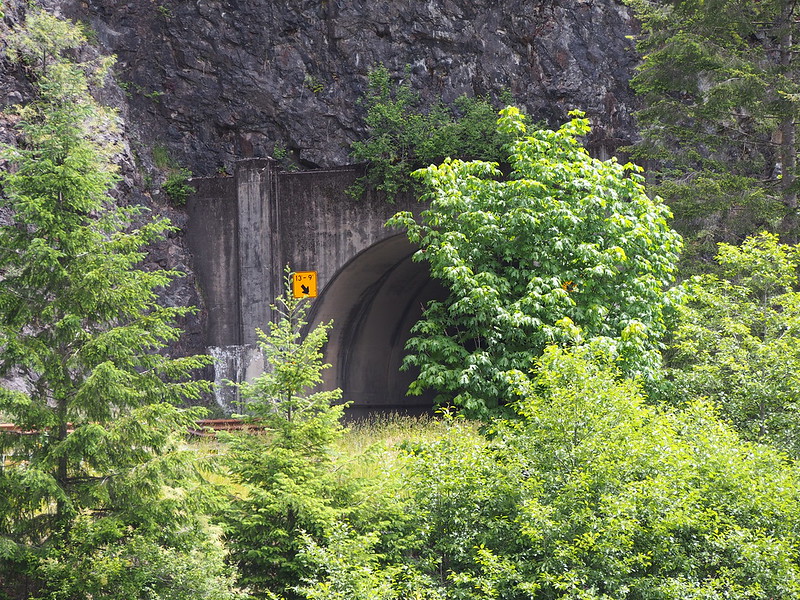
I then went through a tunnel, which I almost never get to do on my rides.
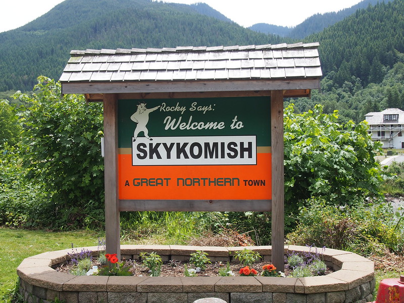
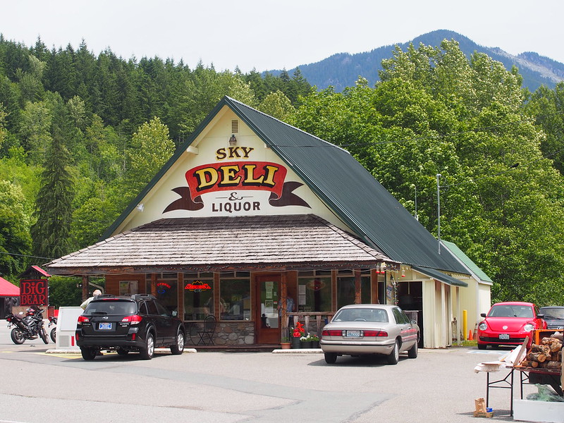
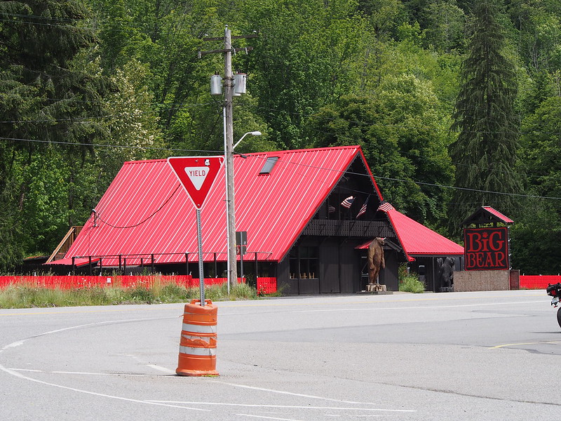
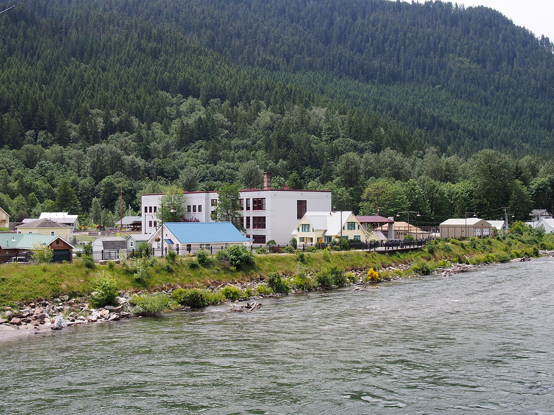
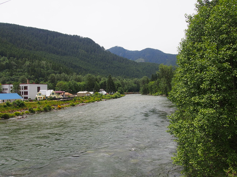
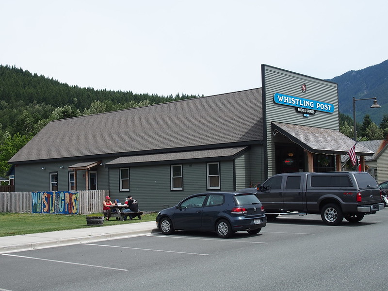
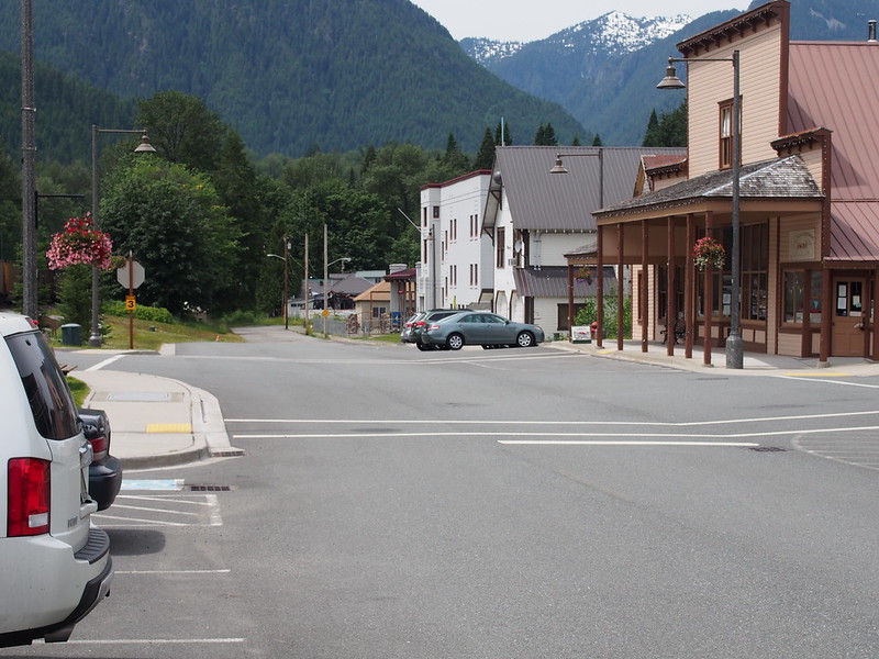
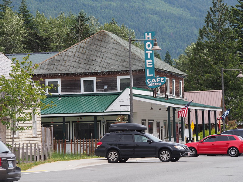
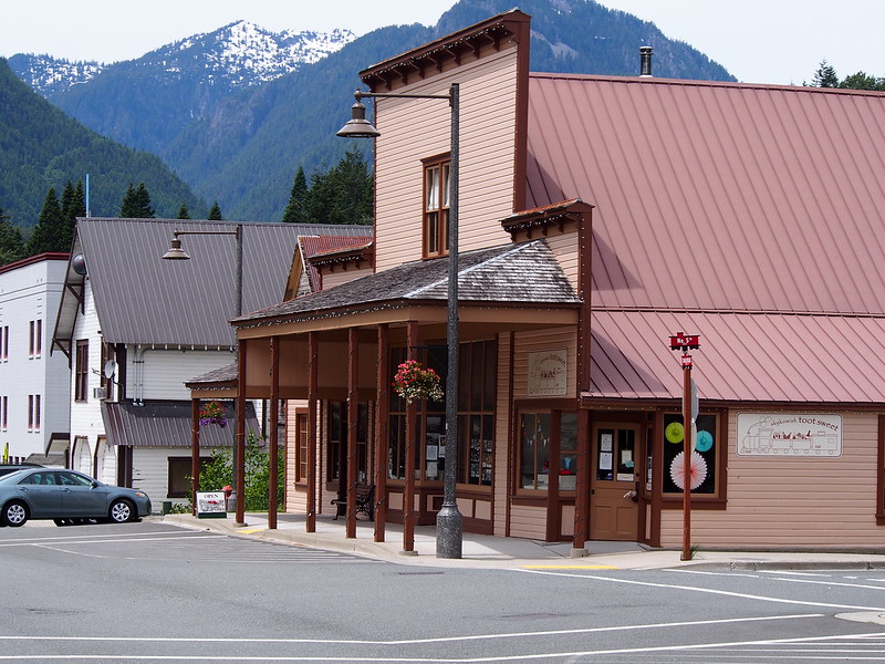
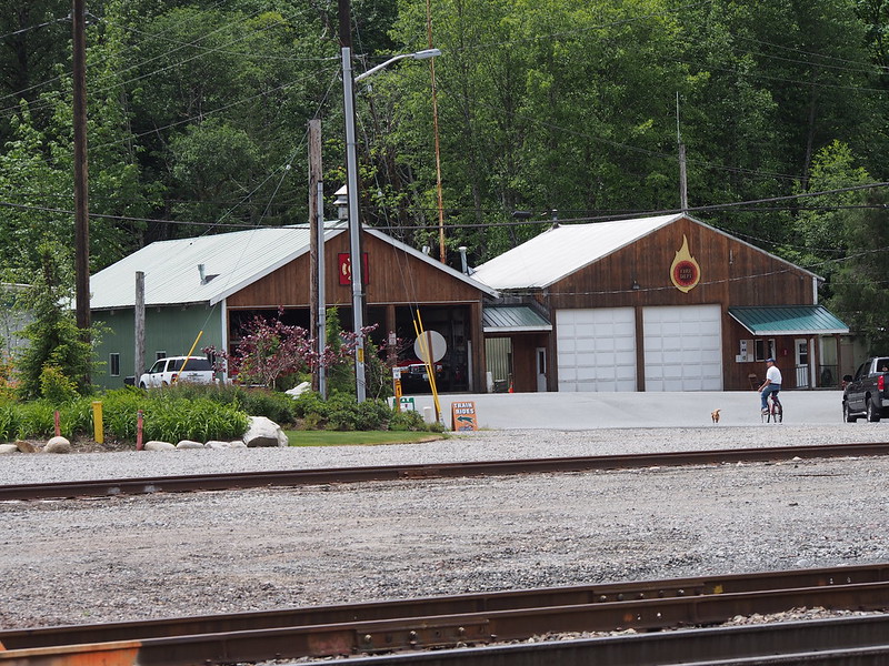
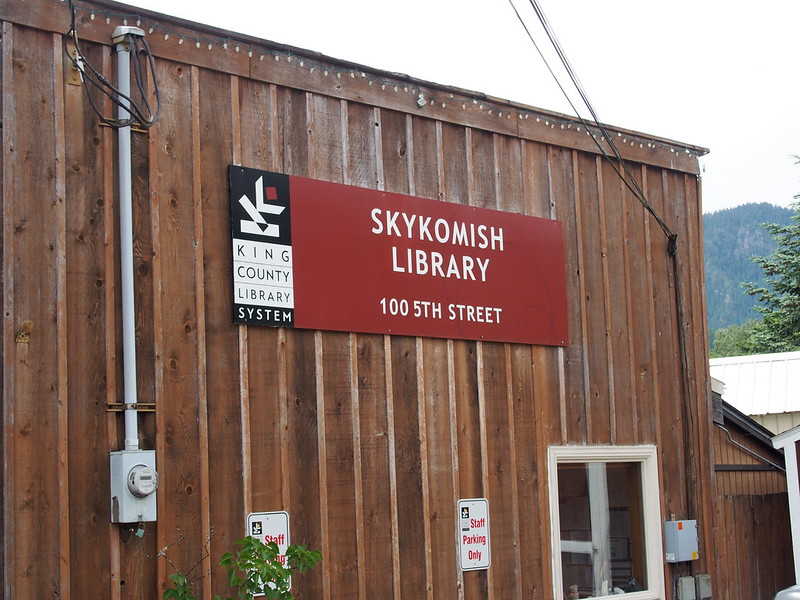
Shortly after that, I finally hit Skykomish.
I'm at Skykomish, WA (Skykomish, WA) http://t.co/yO3Bgm0XIU
— 竹下憲二 (@takeshita_kenji) June 21, 2014
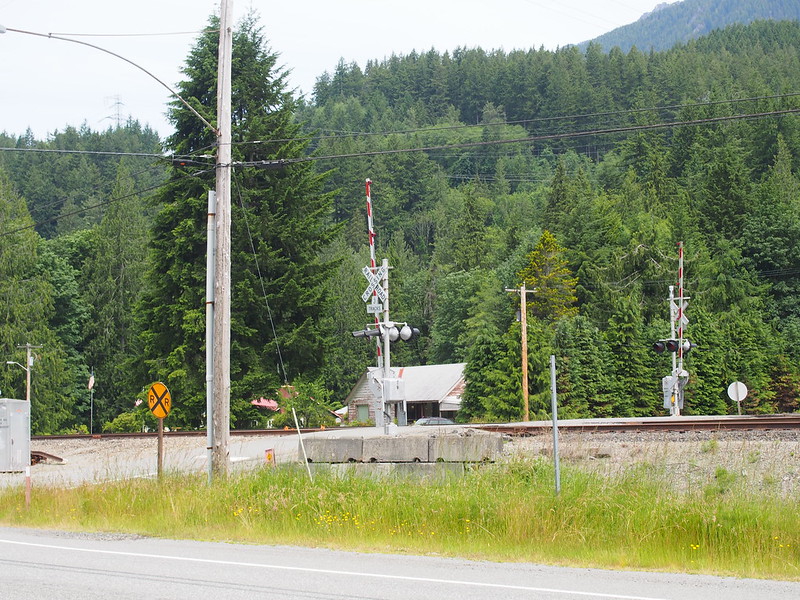
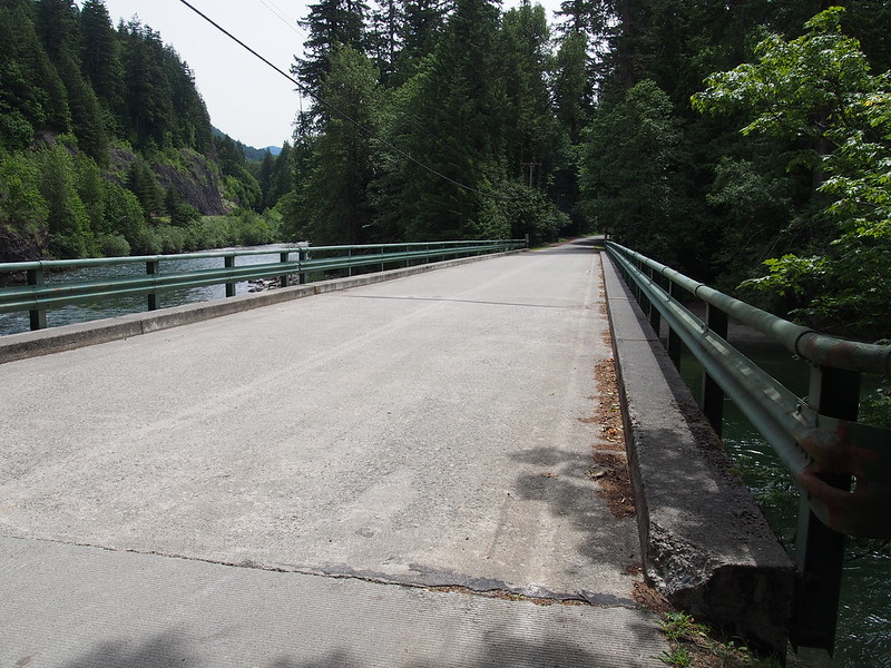
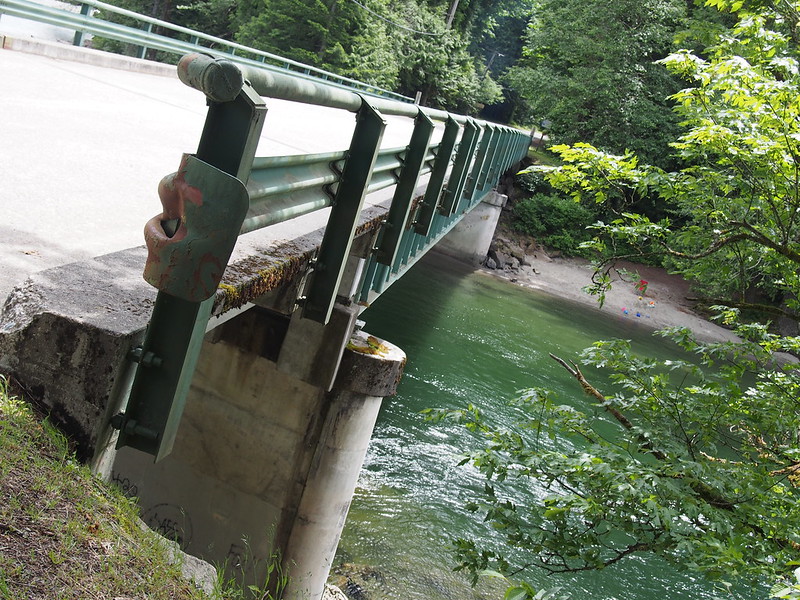
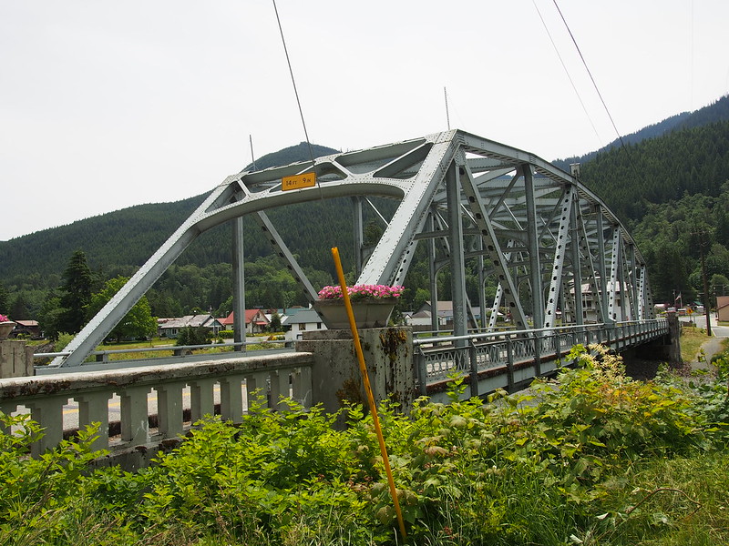
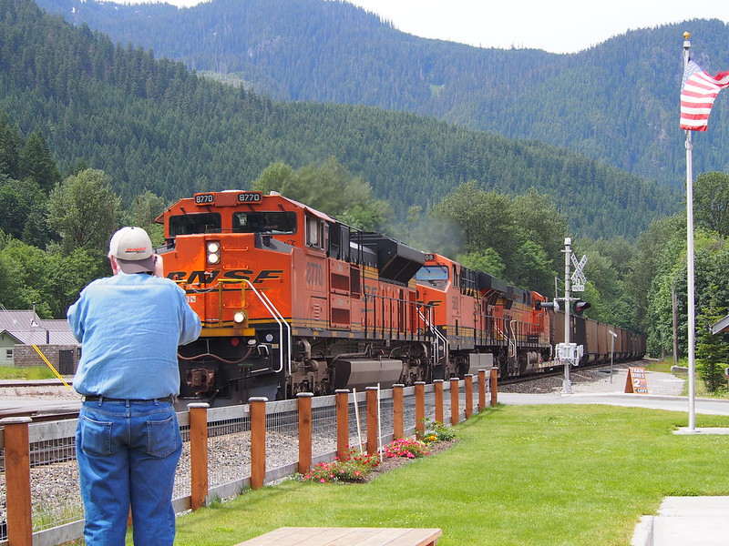
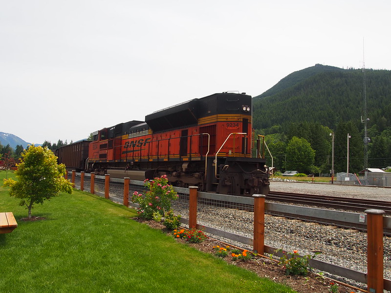
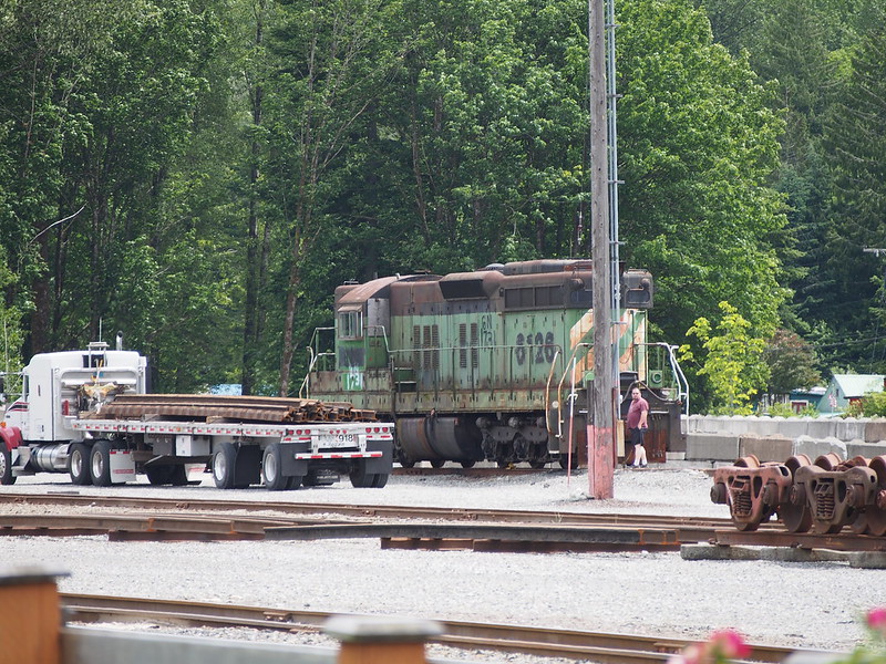
After crossing the bridge, I was in 'downtown.' A long BNSF train was going by, so I was stuck for a few minutes. (The guy in the photo below works for BNSF and he exchanged a wave with the train's engineer.) I both saw and heard a number of other trains along the rails near the highway throughout this ride, too..
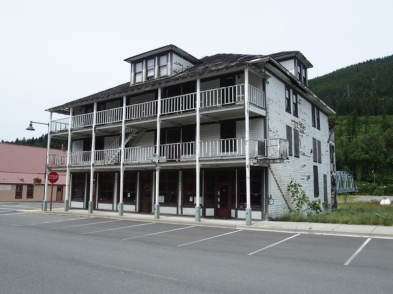
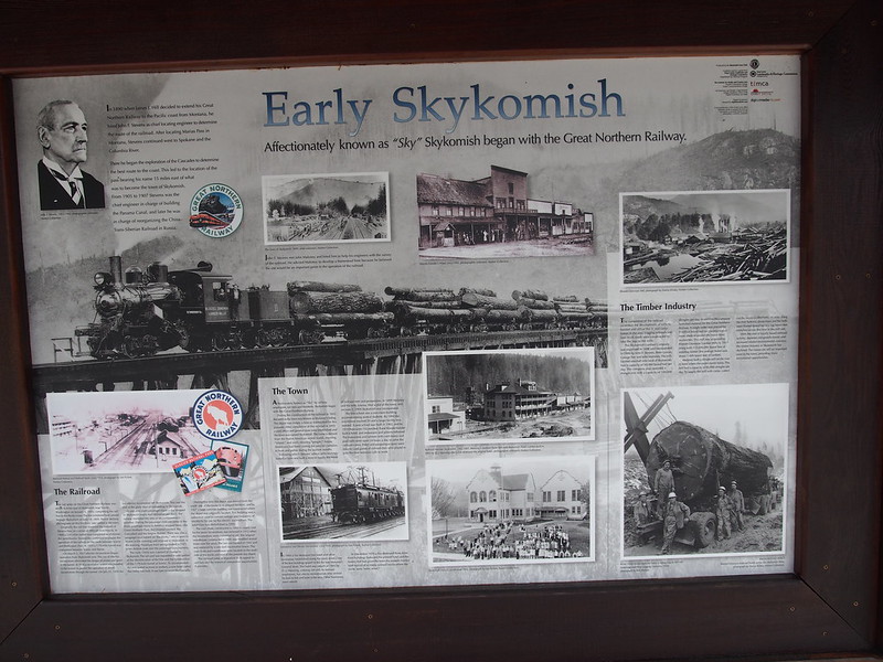
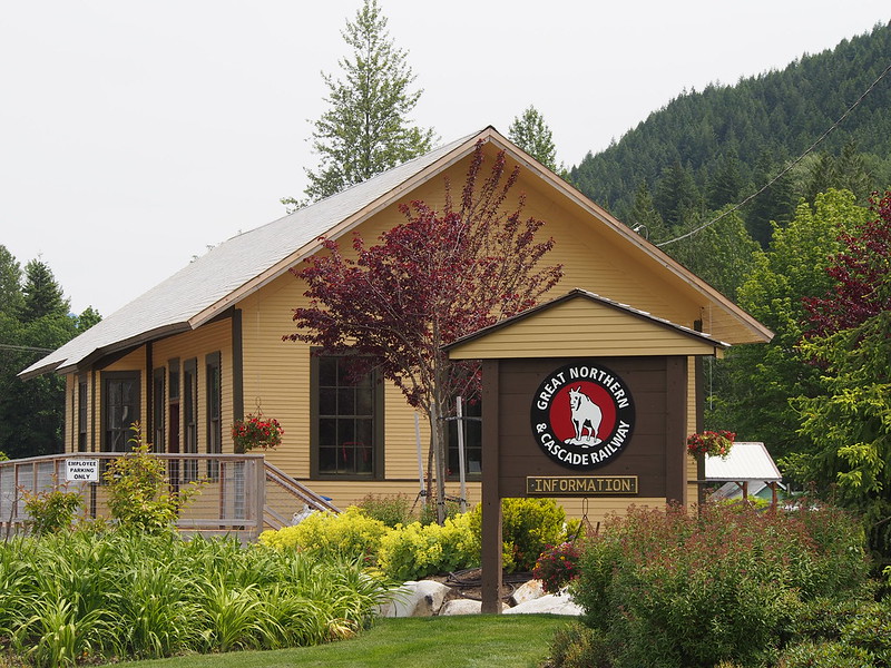
The town was obviously created by the Great Northern, and the town celebrated that fact.
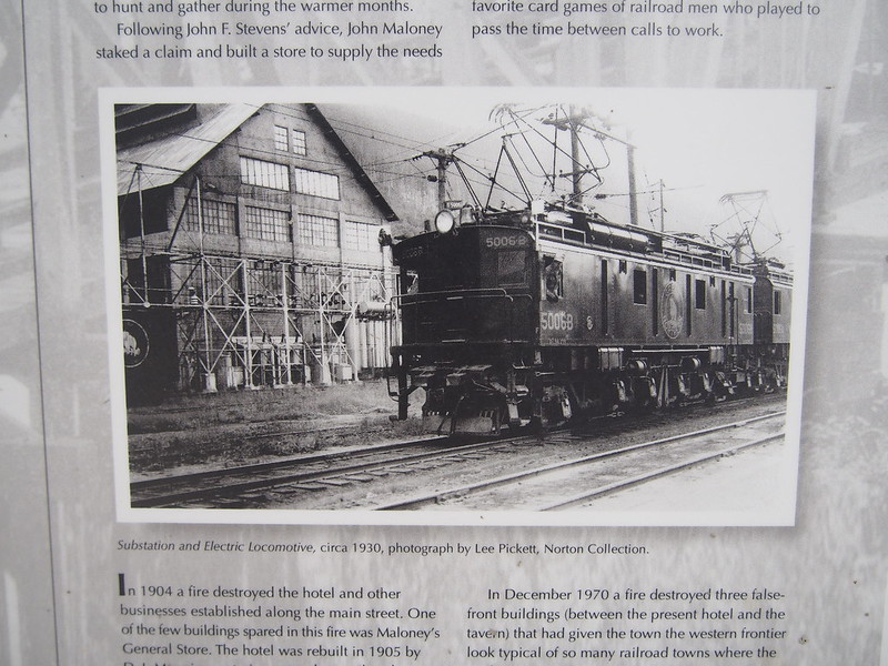
The town was the westernmost extent of the old GN electrification across the Cascades. (Locomotive in the photo below is a GN Z-1.)
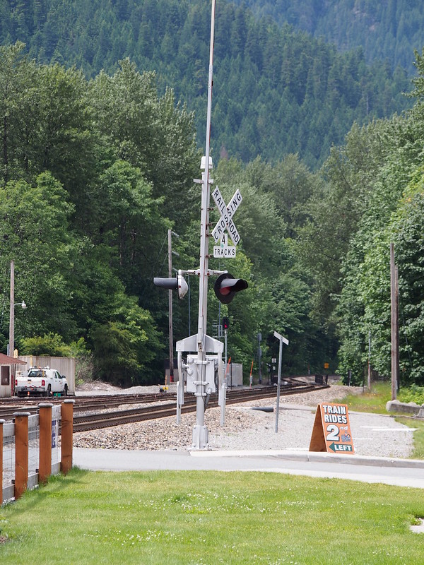
Once the train passed, I crossed the tracks to the other side.
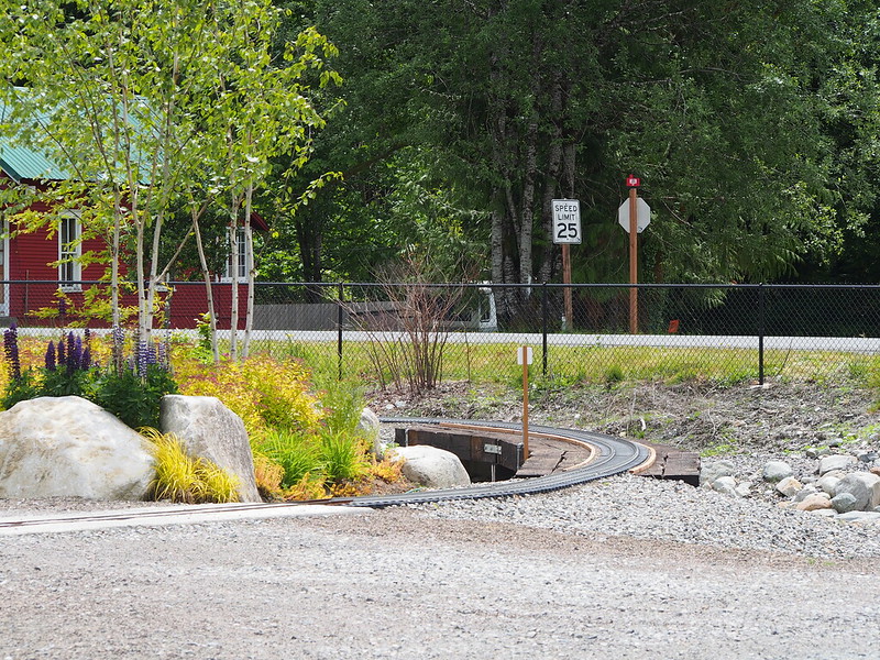
There's this miniature railway there, too, and it was running when I passed through.
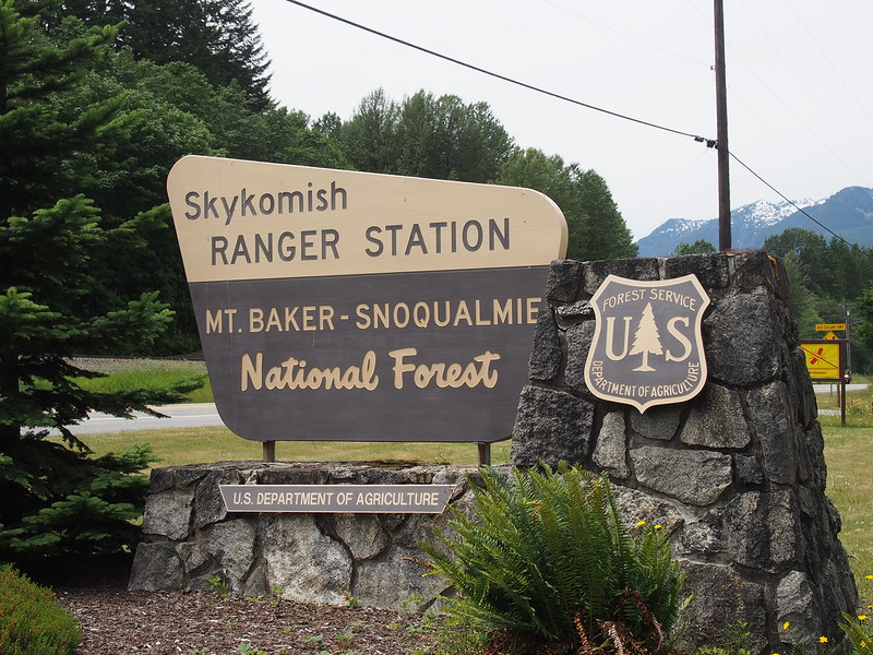
Rather than turning back right there, I went a few miles further to make up for the miles I saved by taking SR-522 instead of going via Everett and Snohomish to get to Monroe. I had to stop at a ranger station, though, for water.
Even though I hadn't been using my smallest chain ring (controlled by the front derailleur) much thus far, I noticed how it was very hard to get the chain onto it. I tried to adjust the cable tension, but the barrel adjuster was all the way in. I thought I had helped some by twisting it, but it wasn't actually twisting the screw threads inside.
More unfun with derailleur cables.
— 竹下憲二 (@takeshita_kenji) June 21, 2014
I had to adjust my derailleur tension east of Skykomish.
From there, I started on my way back. Rather than going through the town again, I just used the highway, which bypasses it. The winds were pretty bad, and I couldn't even get my chain onto the small chain ring. Anymore
These winds are killing me.
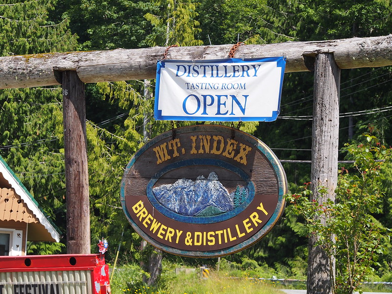
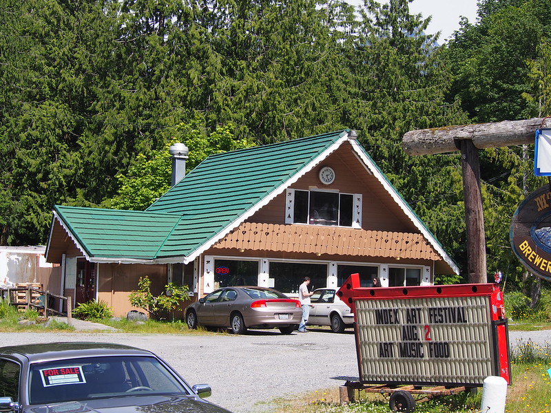
Notably, Index is on the railroad but not the highway, being located a bit north of it.
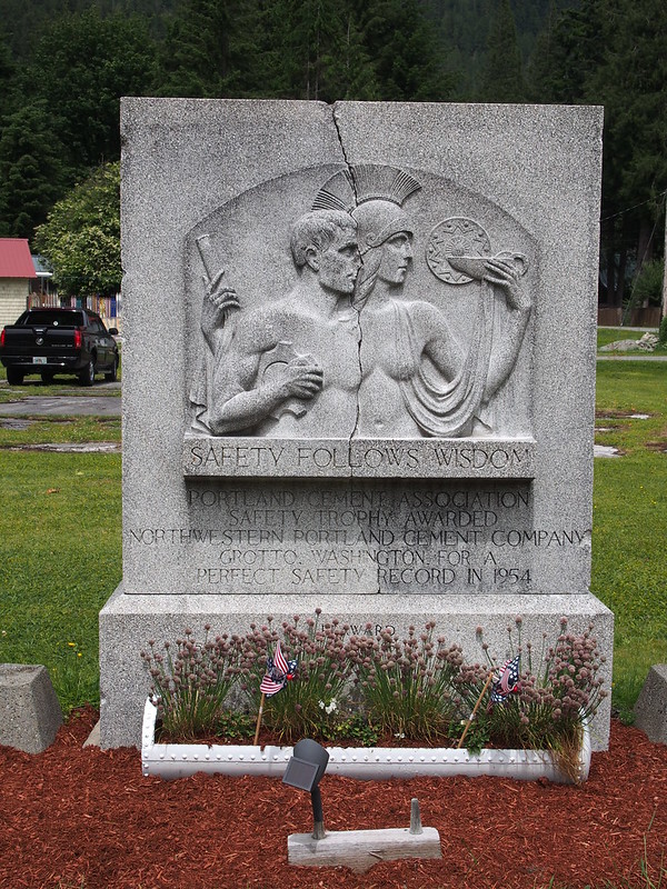
I came across a sign with a digital number display that said "18 DAYS SINCE LAST SERIOUS ACCIDENT" or something like that while speeding down some of the last hilly bits of US 2.
When I got to Gold Bar, I tried my best to undo the bolt that clamped the cable onto the derailleur, but I couldn't manage to do it. As a last resort, and partially inspired by my ride to Vancouver, I loosened the clamp that holds the derailleur on, and rotated it a bit. It took a couple tries to make it work well enough, and I couldn't use the couple fastest speeds of my bike after having done so, but it was enough to work since those speeds are usually outside my range anyway. A friend asked if I needed to be rescued, but I knew I could make it back.
Had to do something not ideal in order to make my smallest chain ring accessible again.
— 竹下憲二 (@takeshita_kenji) June 22, 2014
@MAndersson1968 It'll get me home without any fuss.
— 竹下憲二 (@takeshita_kenji) June 22, 2014
@MAndersson1968 I needed to reduce tension for the front one a tiny bit, but the barrel adjuster was all the way in.
— 竹下憲二 (@takeshita_kenji) June 22, 2014
@MAndersson1968 The bolt on the derailleur was too tight for me to loosen to adjust the cable, so I shifted the clamp a little.
— 竹下憲二 (@takeshita_kenji) June 22, 2014
The winds just wouldn't let up through the valley, and the cars only helped so much. I kept pushing and pushing since I knew my legs could handle it.
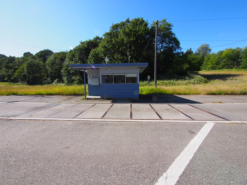
Something that caught my eye in Sultan was this seemingly abandoned weigh station in Sultan. Even though a permanent sign said "WAY STATION CLOSED," I saw an LED display in the window that was still lit.
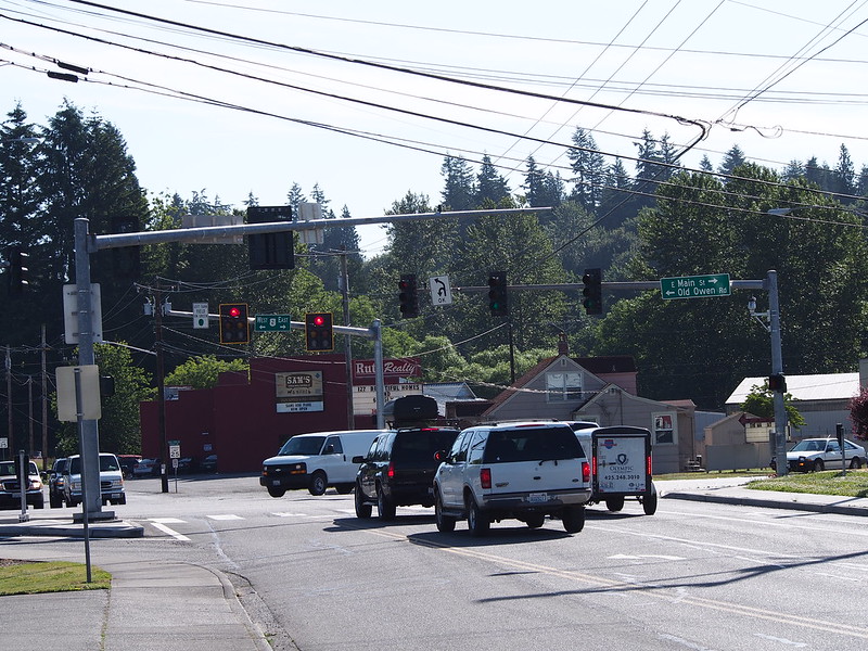
Once over the hill to Monroe, I made a "two-stage left turn" to backtrack my route to SR-522.
Cycling along mountain highways is not like regular cycling.
— 竹下憲二 (@takeshita_kenji) June 22, 2014
I wasn't the only cyclist up there, though. I even came across a pair who was heavy touring.
— 竹下憲二 (@takeshita_kenji) June 22, 2014
I've been fighting that nasty westerly wind ever since Skykomish.
— 竹下憲二 (@takeshita_kenji) June 22, 2014
Part 3: Return Home
Rather than taking SR-522 back, however, I just took my normal route to Snohomish, where I consumed some coffee to get my spirits back up. The winds didn't bother me as much here.
I'm at Rock City Cafe (Snohomish, WA) http://t.co/TI0saY88pA
— 竹下憲二 (@takeshita_kenji) June 22, 2014
And following that was my typical route over SR-9. Even though I was pretty tired, I still managed to keep up the same pace as usual up the hill due to my clipless pedals.
Ever since going #clipless, my pedal strokes have smoothed out, I've gained a gear going up hills, …
— 竹下憲二 (@takeshita_kenji) June 22, 2014
… and new muscles are getting s̶o̶r̶e̶ worked.
— 竹下憲二 (@takeshita_kenji) June 22, 2014
And thanks to my "fix," my transmission made a lot of noise going down the hill to Woodinwille.
Not yet dead. (@ Wilmot Gateway Park) http://t.co/qDZGuSDSZa
— 竹下憲二 (@takeshita_kenji) June 22, 2014
I increased the morning food interval from 1h to 1h15m or 1h30m, but it may have caused more problems.
— 竹下憲二 (@takeshita_kenji) June 22, 2014
A good bike is one that can still perform admirably with a minor issue or two.
— 竹下憲二 (@takeshita_kenji) June 22, 2014
For the last leg of my ride, I took the Burke-Gilman Trail back to Seattle, leaving it after the University District detour to instead use Pacific and Northlake.
If all this touring has taught me anything, it's how to become even more focused when burnt out.
— 竹下憲二 (@takeshita_kenji) June 22, 2014
'Comfort bikes' only look dorky and decidedly uncomfortable to me.
— 竹下憲二 (@takeshita_kenji) June 22, 2014
And through all that, I didn't have any serious foot pain. Such pain was a major limitation on my previous long ride.
No comments:
Post a Comment