I'd been eyeing this route for a long time, and boy did it deliver!
Albums from past rides in the area:
More after the break…
Part 1: Chinook Pass
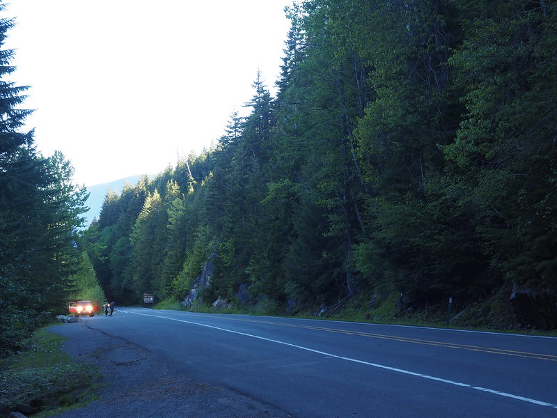
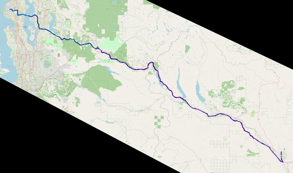
To beat the traffic over the pass, I started just after 5 AM. That meant that there was pretty much nobody on the freeways, which is always enjoyable. I took SR-520 and I-405 to Renton, then nearly made a wrong turn onto NE 3rd Street, thanks to unclear directions. Once I realized I was in the left turn lane for the wrong light, I pulled forward far enough so that I wasn't triggering the sensor, and thankfully I didn't get the left turn light. After the lane to my right cleared, I moved over and continued on my way.
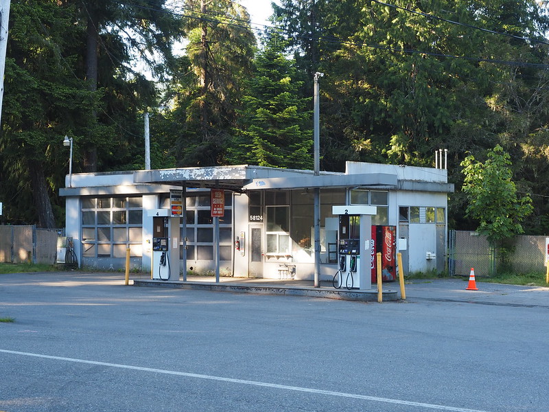
SR-169 was similarly vacant along the Cedar River. Sadly, the  Maple Valley Market was still sitting empty.
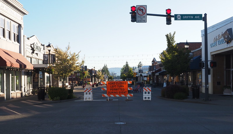
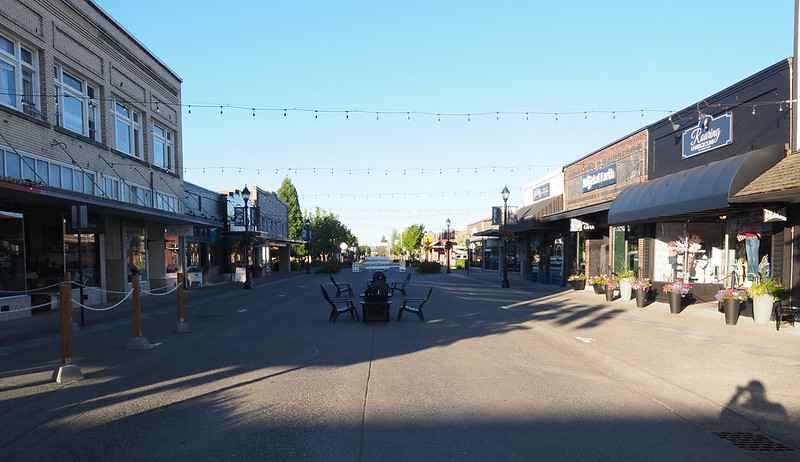
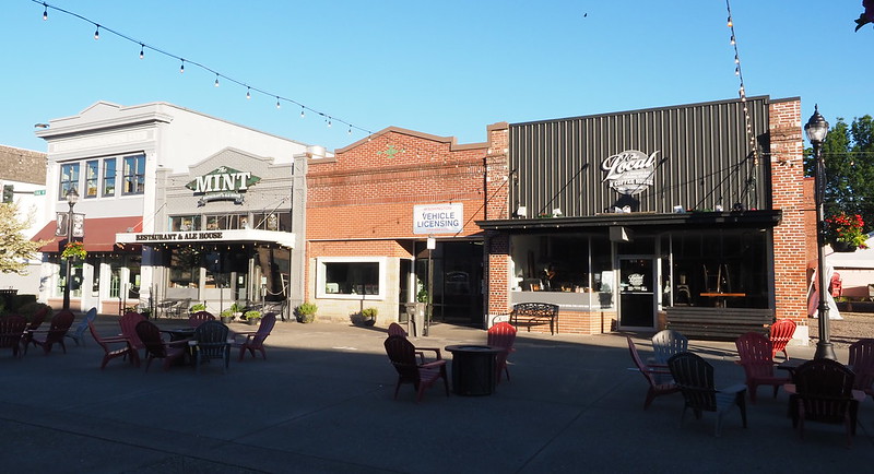
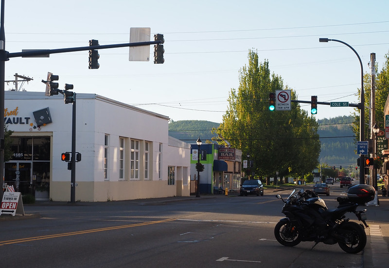
By the time I got to Enumclaw, I was pretty cold. I guess the foothills aren't as warm as the lowlands! I spent some time snapping photos along Cole Street while looking for food. The street was closed, which I later learned was something the city started doing every weekend during the pandemic.
Smells so good out here! (@ City of Enumclaw in WA) https://t.co/j72fNtPTs5 pic.twitter.com/Os9rsJ2RQU
— 竹下憲二 (@takeshita_kenji) June 25, 2022
Since nothing in town was open, I headed over to The Kettle for breakfast, parking next to a police cruiser. The diner had all kinds of decorations featuring Native Americans, among other memorabilia. As far as food went, I got a plate of bacon, eggs, and potatoes, with one of the muffins on the side. By the time I'd finished my plate, I was full, so I got a box for the muffin so I could eat it as a snake later on.
I'm at The Kettle in Enumclaw, WA https://t.co/N1tLo5d6b7 pic.twitter.com/lpdT66H99C
— 竹下憲二 (@takeshita_kenji) June 25, 2022
Before heading out, I threw on my middle layer for warmth.
Gotta beat the traffic over the pass.
— 竹下憲二 (@takeshita_kenji) June 25, 2022
My next stop was in Greenwater, which was the extent of my bicycle riding out that way. While I was taking photos, a couple of guys in a truck rolled up and asked me if the Greenwater General Store was open, which it wasn't.
As I rolled through town, I saw several buildings that were new to me, which I decided to save for photographing some other time.
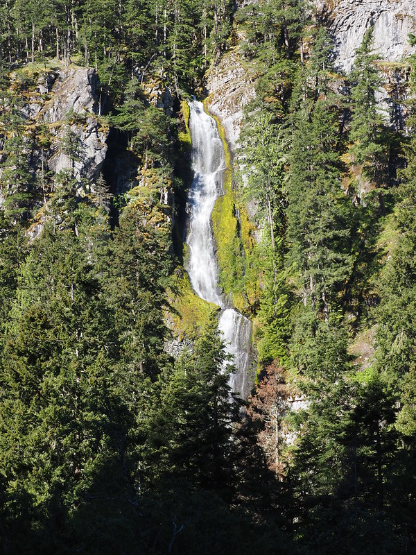
Since I was headed into the mountains, I kept an eye out for points of interest, and I found my first one at Skookum Falls. I wasn't alone either, as a number of vehicles carrying families rolled in and out as I took photos.
One such vehicle was an old RV that rolled up so the occupants could take photos. This RV would soon end up a bit of a road block, as it refused to go faster than 45 MPH as we entered Mount Rainier National Park. Several cars passed it before I finally got my chance to do the same.
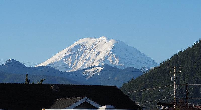
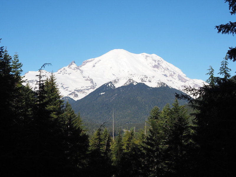
As I headed up SR-410, I saw a nice view of Mount Rainier in a gap in the trees, so I quickly parked to snap some photos. The RV from earlier rolled up not long after I did, so I quickly got out of there so I wouldn't end up stuck behind them again.
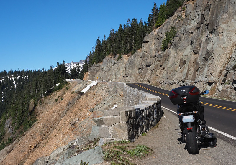
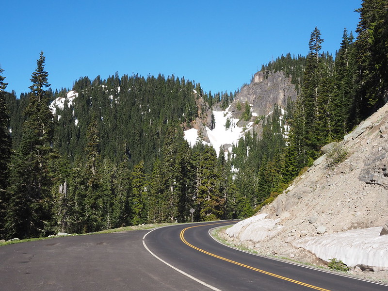
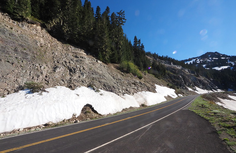
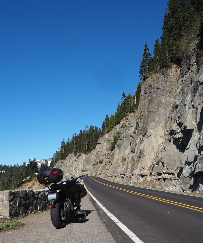
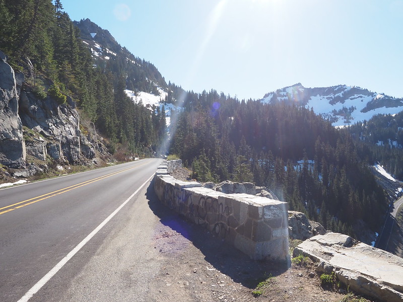
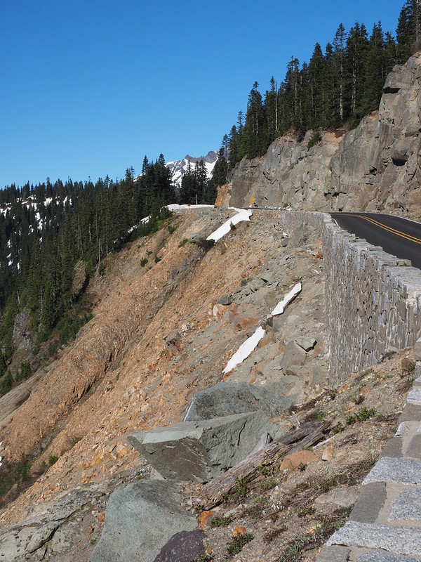
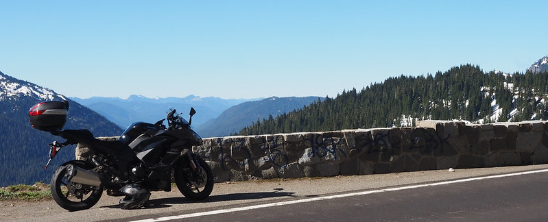
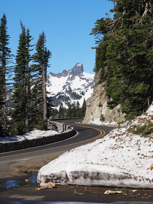
After zipping by the turn-off to Sunrise, noting some cars headed down that way, I was treated to breath-taking views as the highway wound its way between mountain peaks along cliffs. It evoked memories of Yellowstone National Park and I just had to get some photos!
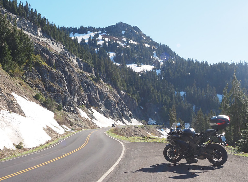
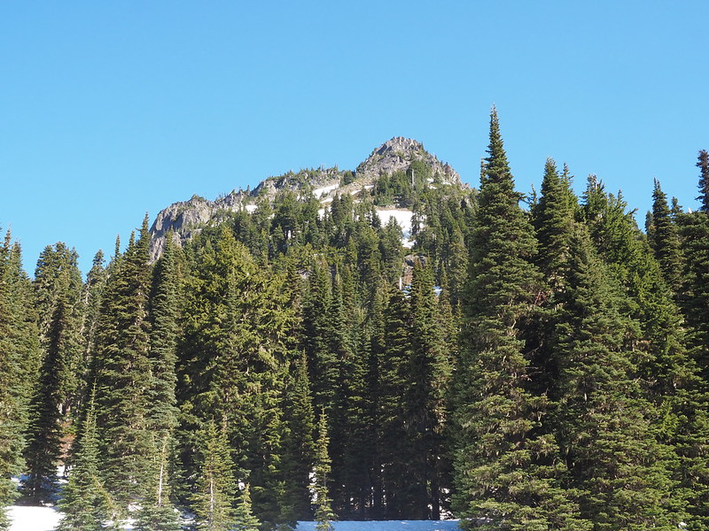
It didn't stop there: the highway doubled back on itself twice as it climbed the face of Yakima Peak. After the first hairpin turn, I saw the perfect pull-out for taking photos, right on the edge of the cliff.
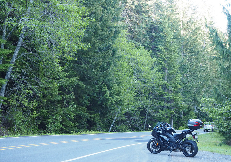
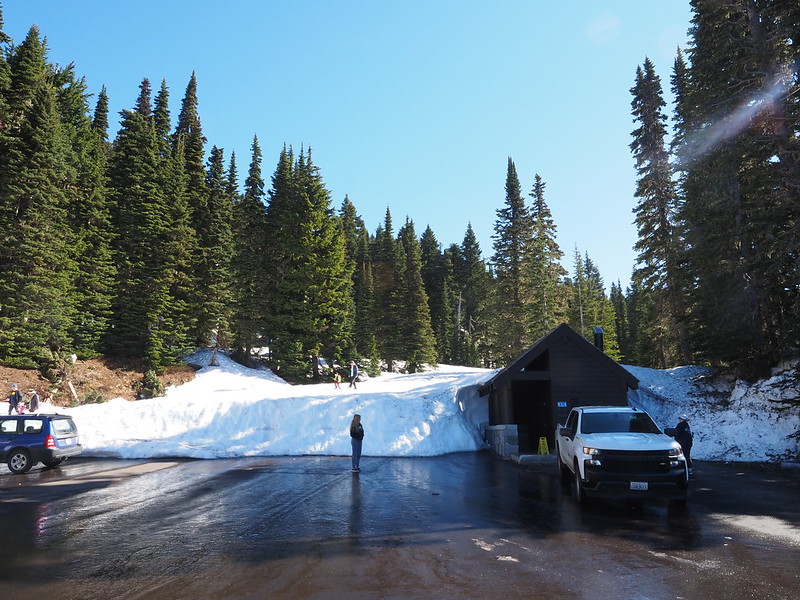
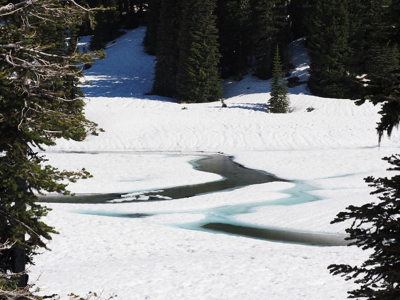
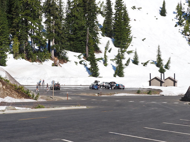
Riding carefully as the highway snaked around, I made a few more photo stops. One was at the Tipsoo Lake comfort station, which was also a restroom stop. The parking lot had snow-melt flowing across its width, which was quite a sight! Right after I used the facility, a rental truck pulled in and a park staff member started cleaning it. Thank goodness I didn't show up any later!
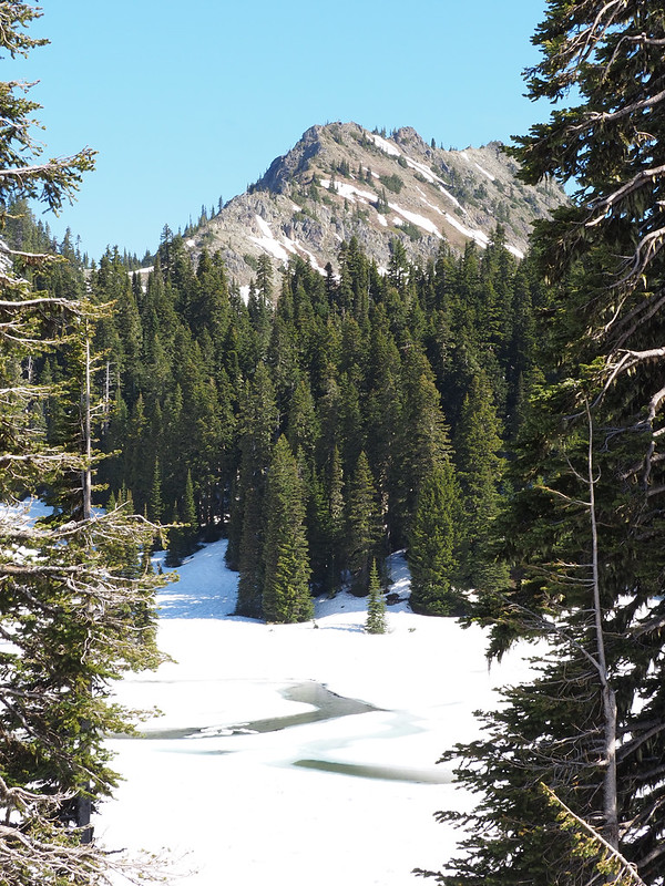
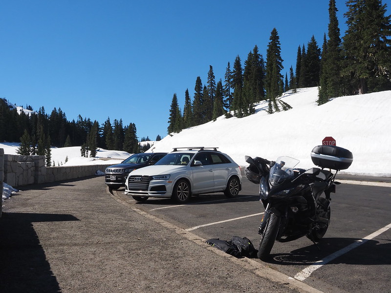
After another hairpin was the parking area for Tipsoo Lake itself, where a lady was sitting on a folding camping chair with a hot drink while her dog tugged at its leash.
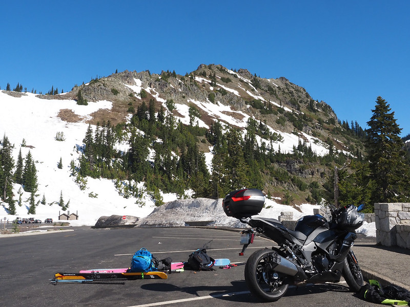
My last stop in the mountains was at Chinook Pass proper, and I had to ask some folks getting ready to do some back-country skiing to make sure. Their gear was strewn across a parking lot, and they not only talking about gear, clothes, and food, but they even started changing out in public! Two of them then headed over to the vault toilets on the other side of the highway, while the third asked me if my Ninja 1000 was anything like riding a dirt bike. He was surprised when I told him that my bike was over 500 pounds, and he said that was double the weight of his dirt bike.
While making my way up to the pass, I kept seeing the same pair of cyclists heading up that way, and finally started chatting with them at the pass. The said they started at the bottom of Crystal, and were later headed for Sunrise. When they said that the road Sunrise was still closed to motor vehicles, I mentioned that I saw some cars headed that way, to which they replied that the campgrounds on the section of road near the highway were still open.
Chinook Pass is something else!
— 竹下憲二 (@takeshita_kenji) June 25, 2022
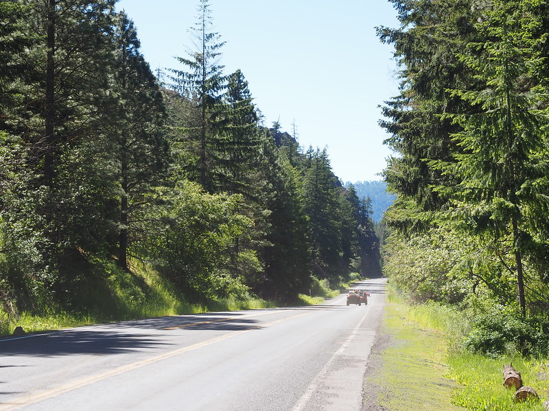
Since it was already so warm, I removed my middle layer prior to heading down the long, straight section of SR-410 towards Naches.
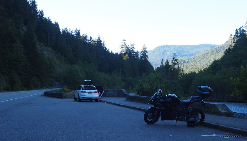
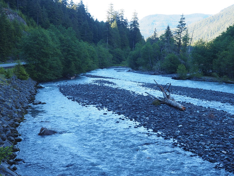
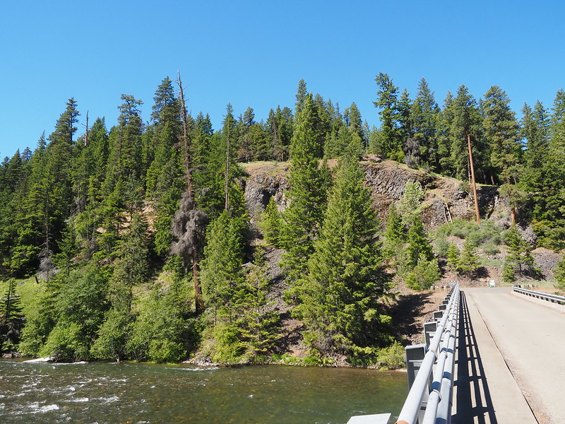
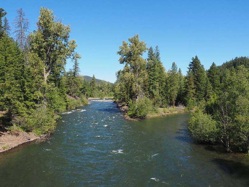
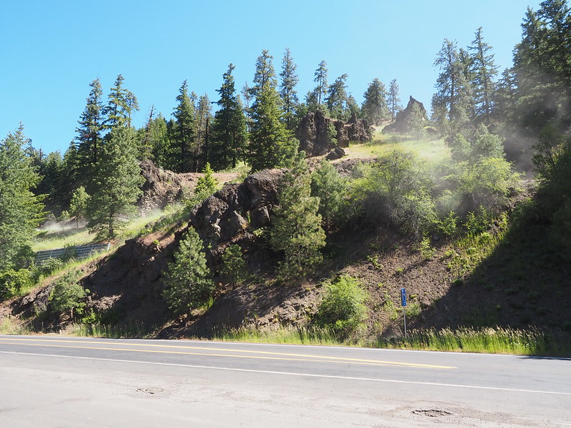
As I rode along the highway, I was treated to numerous beautiful river views and despite considering pulling off for one, I only finally did so at the Old River Road bridge across the American River. I rode down the road a bit on the lookout for a better view, but ended up turning around and parking my bike in the dirt beside the stop sign where the road joined the highway. Due to the camber of the dirt, I had to be careful putting my bike on its kickstand, lest it fall into the dirt.
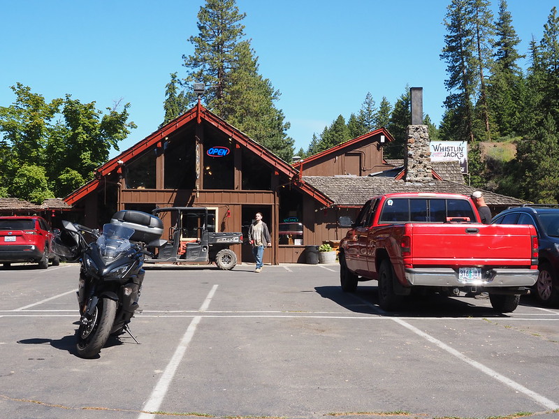
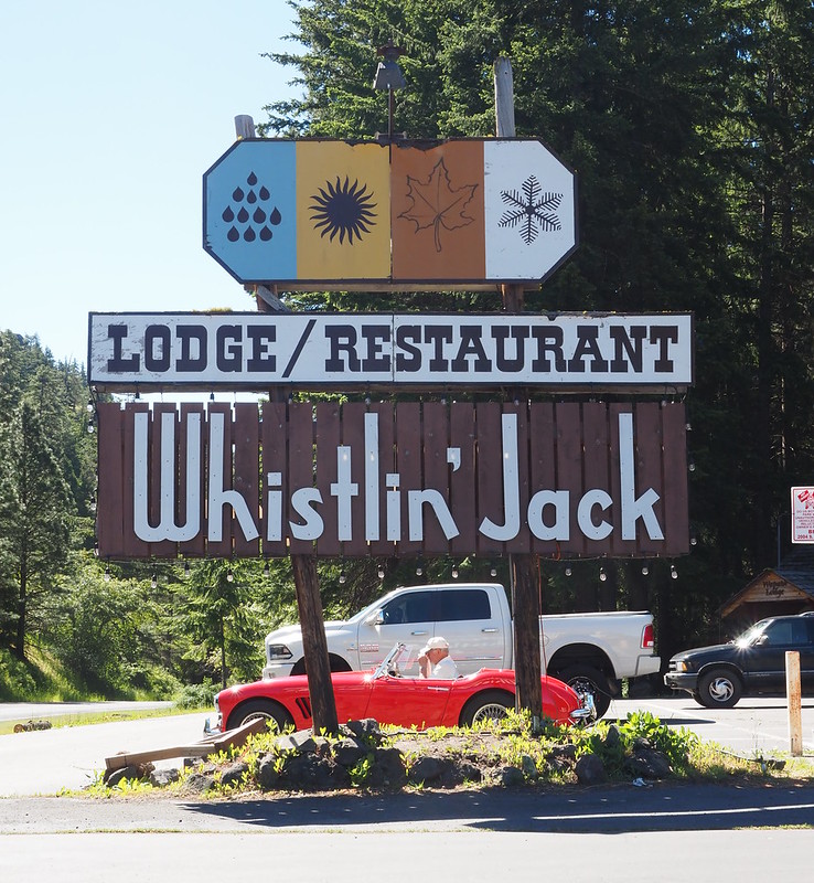
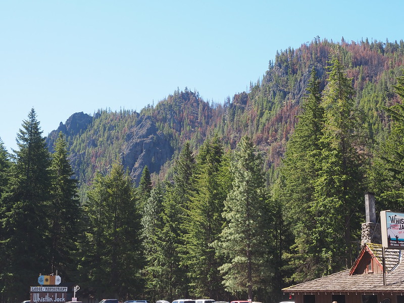
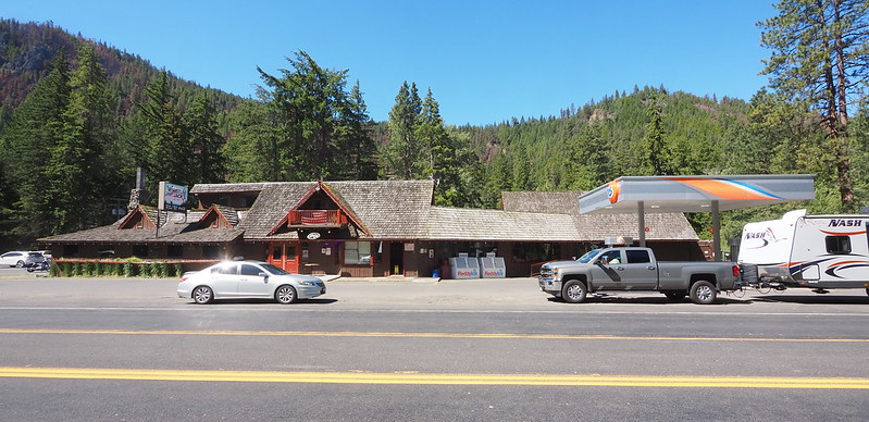
Not far down the highway from the bridge was Whilstin' Jack's, which featured a gas station, convenience store, restaurant and lodging. After getting gas and a couple big bottles of water, I chilled in my parking space, removed my jacket's liner, and finally ate the muffin from earlier. The flavor was unlike any blueberry muffin I'd had before, and I hope to try their cinnamon muffin sometime.
When I rolled in, there were several side-by-sides parked beside Whistlin Jack's, and they all left for either NF-1705 or the highway while I ate.
I'm at Whistlin' Jack Lodge in Naches, WA https://t.co/l90hqPW8Tw
— 竹下憲二 (@takeshita_kenji) June 25, 2022
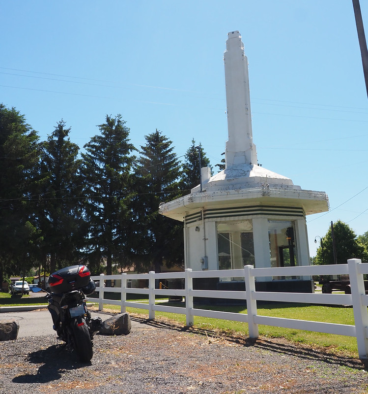
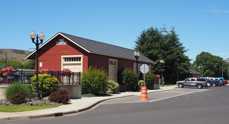
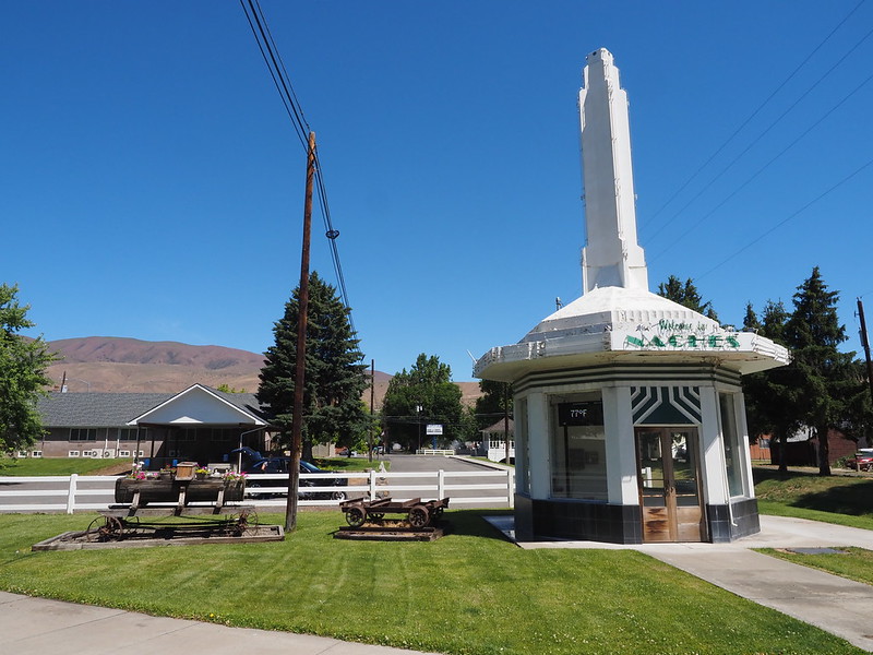
I then headed further east, kept entertained by how the pine tree forests gradually thinned out and gave way to the desert of Eastern Washington. My next stop was in Naches, where I pulled into a church parking lot to take photos.
While I was taking photos, an SUV pulled in and the lady driving it asked me if I'd seen an old lady riding an e-bike. I asked which way the lady was coming from, and the driver was sad when I told her that I was coming from the other way and couldn't have seen her. Lucky for both of them, the old lady rolled from the Naches Trail into the parking lot not long after.
I'm at Naches, WA in WA https://t.co/tRavSuoQ4j
— 竹下憲二 (@takeshita_kenji) June 25, 2022
I didn't want to take up any more time in the church's parking lot, so I rolled between the rocks comprising the barrier to the opposing road, then parked on a street adjacent to downtown. Before taking any photos, I really wanted to get some food, and found only the Sticky Fingers Bakery & Cafe open.
The cafe felt like an extremely small-town operation the likes of which I hadn't seen in years: teenage boys were doing hosting and serving duties, and the only TV was an old tube unit. There were also Trump 2024 hats and similar merchandise. Thankfully, the burger was pretty good, and came disassembled so that the diner could pick their veggies and so on.
I'm at Sticky Fingers Bakery & Cafe in Naches, WA https://t.co/ItMIKa8ab2 pic.twitter.com/mHYmlOZGHZ
— 竹下憲二 (@takeshita_kenji) June 25, 2022
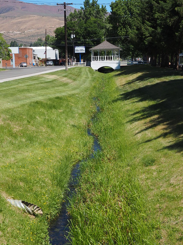
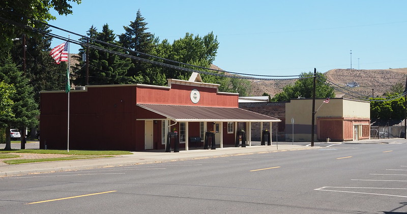
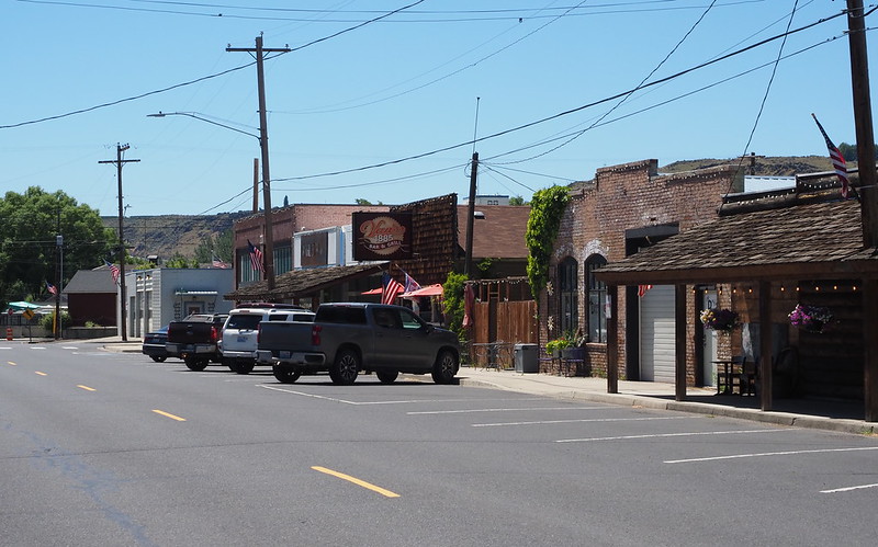
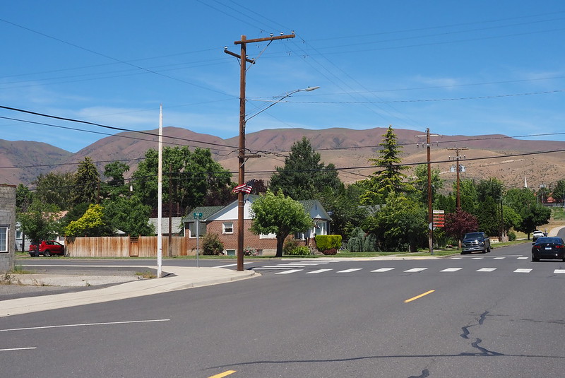
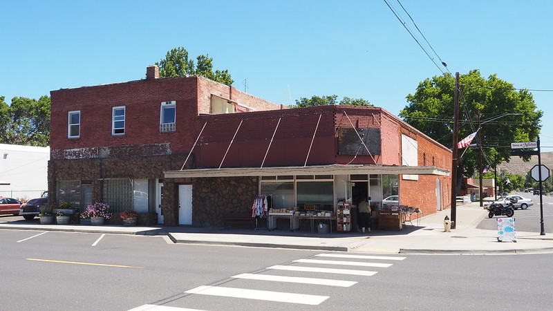
Once done eating, I wandered around and snapped some more photos of Naches. It really felt like a small town!
Part 2: Yakima River Canyon
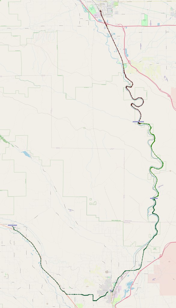
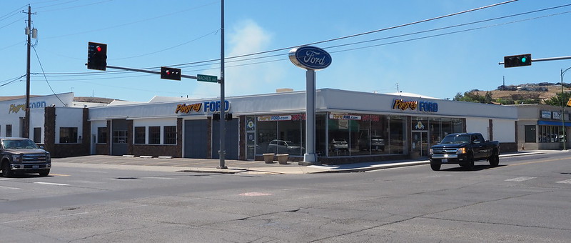
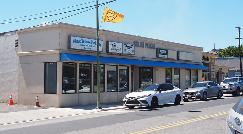
I made my way back to the highway, which was now US 12, but only stuck on it as far as Gleed before leaving it for Mapleway Road. My directions had me going along Slade Road, but I thought better when I saw that it was gravel. Thankfully, I didn't have to go far to hit my next target road: Crusher Canyon Road to downtown Selah. When I rolled in, I found a small downtown complete with a…Ford dealer?
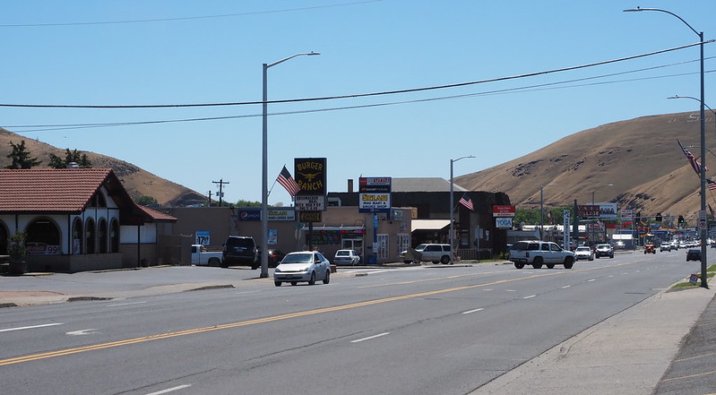
Before leaving, I noticed that Selah had the first letter of its name carved into an adjacent hill, something that again brought me back to my Yellowstone trip.
SR-823 and SR-821 brought me to the Yakima River Canyon, which was another sight I wanted to see on this ride. The most inspiring rock formations were right at its southern entrance…but there were no places to park. I guess this'll also have to wait for some other time!
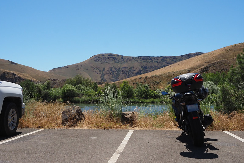
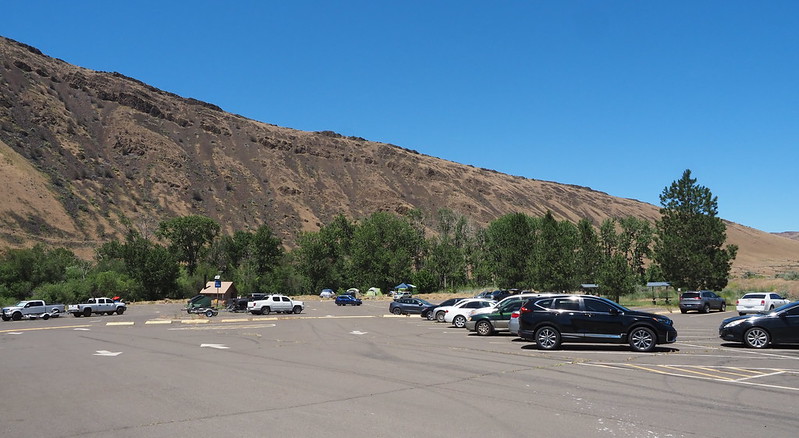
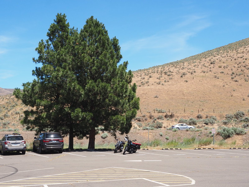
After following the road as it lazily meandered along the canyon, I stopped at the Roza Recreational Area. Right when I pulled in, a couple of guys walked over and asked me if my Ninja was a 650. Of course, I told them it was a 1000, which I chose instead because of the sound of the engine. One of the guys had rode in on a BMW R NineT, and the other was a Harley Sportster from what I could tell. They were making a rest stop on they way from Selah to points north.
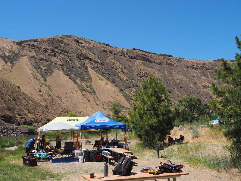
There were several families and groups enjoying the park, some with beach towels and swimsuits, some with jet skis, some with barbecue grills, and some with pop-up booths for shade. The only time I'd seen people making use of a river like this previously was the Cedar River back on the other side of the mountains. The sight of the cool water surrounded by trees contrasting with the dry, brown hills made me think this must be one of the most refreshing places to be!
My next stop was at the Umtanum Creek Recreational Area, as the rock formations on the opposing canyon wall drew me in, as well as the cool suspension pedestrian bridge across the river.
Camping was also a popular activity at this site.
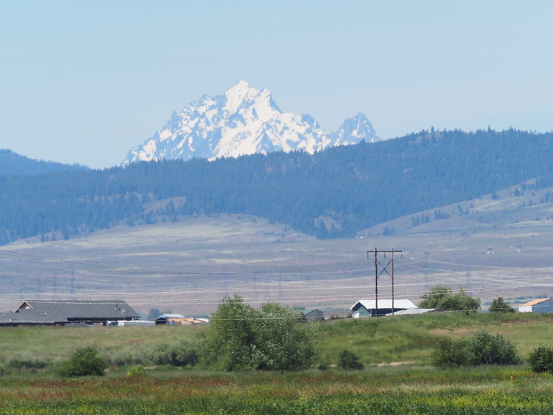
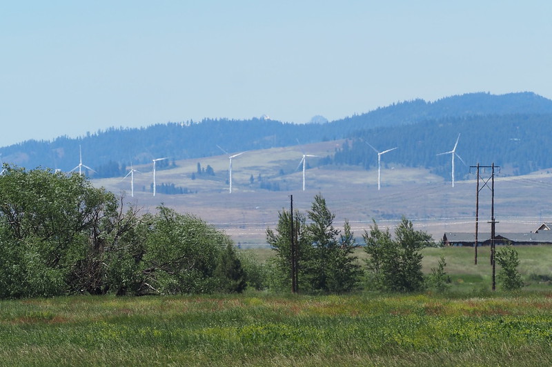
From Umtanum Creek, I headed straight for Ellensburg. As I approached the city, I saw Mount Stuart in the distance, and had to stop to photograph it. I didn't want to stop on the side of the high-speed highway, and didn't want buildings to block my view, so I headed all the way to the north side of town…only for the local hills to reduce the peak's prominence. The local wind turbines were cool, though.
I'm at Ellensburg, WA in WA https://t.co/8Wwsl83dtl
— 竹下憲二 (@takeshita_kenji) June 25, 2022
Before hitting the freeway, I made sure to put my jacket's liner back in, since the pass could've been cold.
Part 3: Return Home
Back over the mountains I go!
— 竹下憲二 (@takeshita_kenji) June 25, 2022
I was among the speediest traffic on I-90, passing much of the slower traffic while I was in the left lane. I was not far from a certain white Audi crossover for much of the east side of Snoqualmie Pass, and I was similarly not far from a black Tesla sedan on the west side. Thankfully, I didn't sweat too much because of the air rushing by!
I made one last stop for gas and ranch Bugles in North Bend, albeit at a different gas station from my typical one. While I ate, the horns of the locomotives of the Northwest Railway Museum provided a backdrop beyond the usual drone of the freeway.
Break time! (at @Shell_us in North Bend, WA) https://t.co/hZ0xflXEDb
— 竹下憲二 (@takeshita_kenji) June 25, 2022
I've been strangely obsessed with Ranch Bugles for most of my adult life.
— 竹下憲二 (@takeshita_kenji) June 25, 2022
As much as we like to make fun of gas stations, they can sometimes be an oasis in the desert.
— 竹下憲二 (@takeshita_kenji) June 25, 2022
Looks like the heritage railroad here is operating in full swing!
— 竹下憲二 (@takeshita_kenji) June 25, 2022
After dealing with stop-and-go traffic around the I-90/I-405 interchange, which was mainly because of the southbound I-405 traffic jam, the rest of the freeway home was smooth and fast. I did have to deal with a long line of cars on NE 50th Street in Wallingford, which is par for the course.
When I did finally get home, it was a little after 6 PM, so I was ready to turn in for the night!


























No comments:
Post a Comment