Rode my scooter around Hood Canal.
Albums from past rides:
More after the break…
To Ferry
After dealing with having to wait for an hour last time, I decided to leave early enough to catch the 6:10 ferry. Helping even more was the increased schedule on a weekday, as my employer gave us the Friday off since Juneteenth was the next day (Saturday).
I headed straight to Colman Dock much the same way as last time. This time, however, the toll clerk sent me down the motorcycle lane instead, rather than one of the car lanes.
I'm at Seattle Ferry Terminal in Seattle, WA https://t.co/thSqdstoID
— 竹下憲二 (@takeshita_kenji) June 18, 2021
When the ferry did eventually show up, among those arriving was a gasoline-boosted bicycle. I had no idea people were still riding those, what with the rise of e-bikes.
Main Segment
Just like last time, I made a quick stop at the Poulsbo Central Market and road through the Big Valley to cross the Kitsap Peninsula. Unlike last time, however, I left SR-104 not long after crossing the Hood Canal Bridge, and headed down the Dabob Peninsula.
The roads on the Dabob Peninsula felt like they went on forever, despite the 50 MPH speed limit. There were many twists and turns to break it up, but the rarely changing scenery ended up taking a heavier toll on me. The roads started to change as I approached the settlement of Coyle: the speed limits went to 25 MPH, then 15 MPH as the road degraded to rough chipseal and steep grades. I finally decided to turn back when it turned to gravel, as I didn't want to spend all day out there.
Before leaving Coyle, however, I did check out the Laurel B. Johnson Community Center that I saw mentioned on signs on the way down. It was quite nice for being in such a remote place, and even had free WiFi that I hopped on for a few minutes.
All that was left to do at this point was head back north up the peninsula. I did pass a  familiar place from a past bicycle ride along the way, but aside from that, it was more of the same scenery.
After hanging a left before hitting SR-104 again, I made my way to Quilcene, where I spent some time walking around and taking photos. While I did that, a guy who was doing a bicycle tour down the Pacific Coast stopped at Peninsula Food. He said this was his third time doing that ride, and that it had been 15 years since the previous time. The setup he had reminded me of the setup I had for my Northern Tier ride years ago.
While I was out taking photos, I noticed a lot of "Class of 2021" banners on the street light poles, each featuring a single student and their name, which definitely pointed to how small the town was. I also overheard a fireman saying that he was headed to the store to get some food.
Once I was done taking photos, I grabbed a deli sandwich at Peninsula Food, as I didn't want to end up sick from the huge ice cream cones the store is known for like on an earlier bicycle ride. The fireman from earlier ordered a corn dog and potato triangles after I bought my sandwich.
I left Quilcene via US 101, zipping right past the spot where I'd hoped to get some photos of the valley to the right.
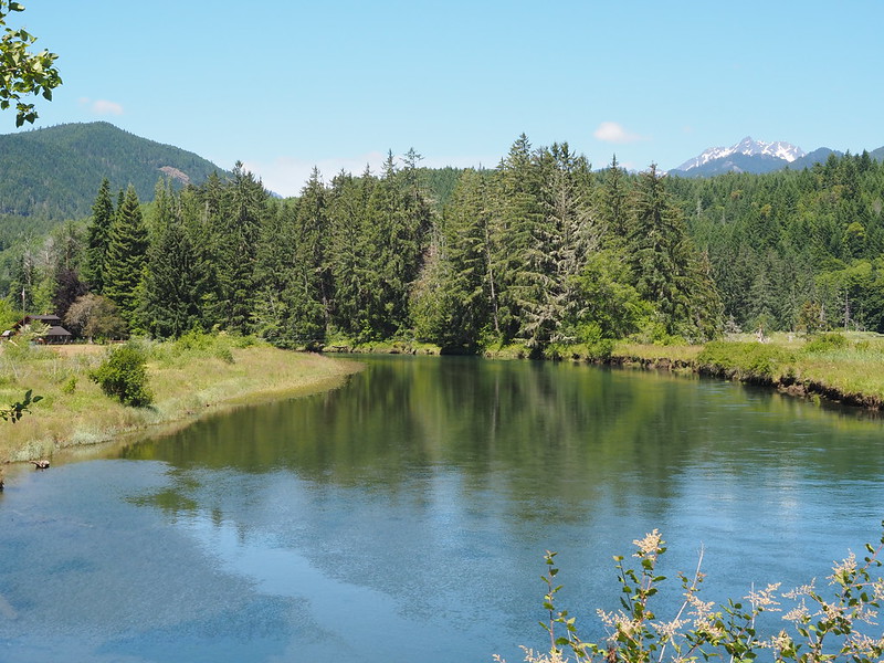
After backtracking a bit and taking the photos I wanted, the cyclist from earlier rolled up. I said that I always loved the spot, which he agreed with, but he seemed preoccupied with the climb he was doing.
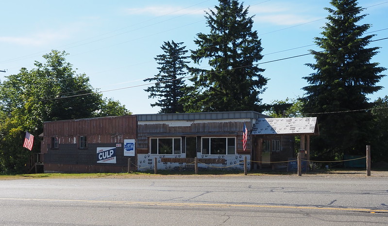
Continuing along the highway, I stopped at a number of local stores to take photos. At one point, I'd hoped to get closer to the water by following signs for kayak rentals, but the rode was closed off to all except those staying at the associated RV park.
As I approached Brinnon, I saw some signs for the Dosewallips Recreation Area, and decided to go and check it out. This ended up being a bit of a waste of time, as the road went on for miles and miles. After it turned to gravel, I had to be mindful of the lines I chose, as my scooter wasn't really intended for rough roads like this. I'm sure my motorcycle would've been right at home, though.
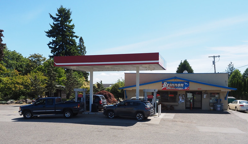
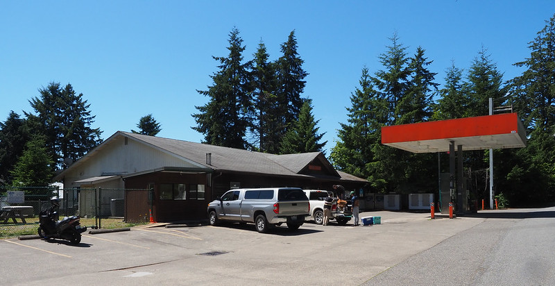
I then headed back to Brinnon to rejoin the highway, and pick up some gas. After I'd filled my scooter's tank, a local who was confined to a power chair said that motorcycle crashes are very frequent on US 101 because of all the hidden driveways. He wished me luck and headed on his way.
My next stop was at Dosewallips State Park…which was closed for construction. So much for that!
I did end up stopping at a state park to eat my sandwich, but it was the much smaller Triton Cove State Park.
I continued on my way, making a quick stop in Eldon/Hamma Hamma, where I saw that Hama Hama Seafood was doing very well indeed! Their "oyster saloon" had dozens of shelters for outdoor dining, and many of them were occupied.
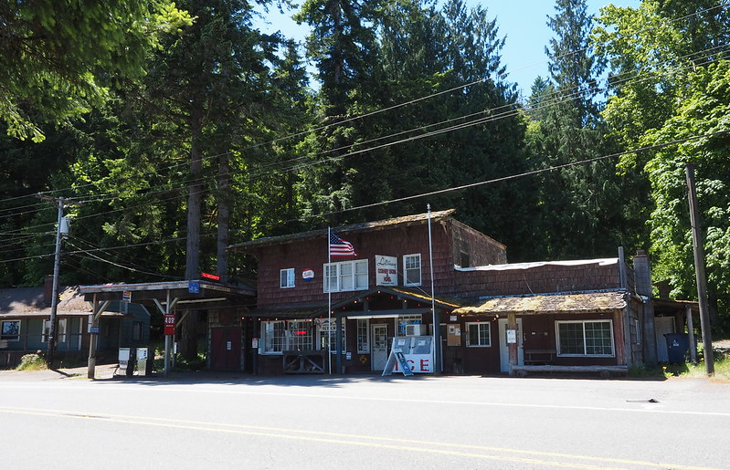
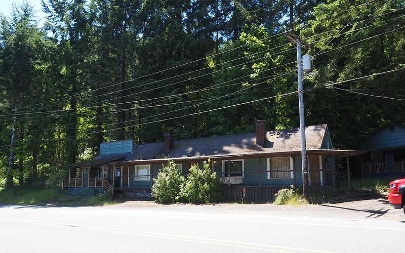
My next stop was in Lilliwaup, where I spent some times taking photos as before. I had a distinct memory of getting  rather poor photo of the local general store on a previous ride, and made it a point to rectify that mistake. One thing I recalled about the store was that it had a motel attached to it, but that motel appeared to not be operating this time.
A couple of police cars showed up while was in the country store getting some ice cream. When I went outside, I asked the officer if I had to move my scooter, but he said he was fine. The officer then started asking the general store clerk about a 911 call they'd received, but she said that it wasn't from the store. She said the owner of the red house next door had a guest that wouldn't leave, that there had been a lot of shouting, and that the guest did end up leaving before the police showed up.
Ice cream! (@ Lilliwaup Country Store in Lilliwaup, WA) https://t.co/APQExtV7tg
— 竹下憲二 (@takeshita_kenji) June 18, 2021
While I enjoyed my root beer float flavored ice cream away from the commotion, I noticed that the local community club was hosting an estate sale.
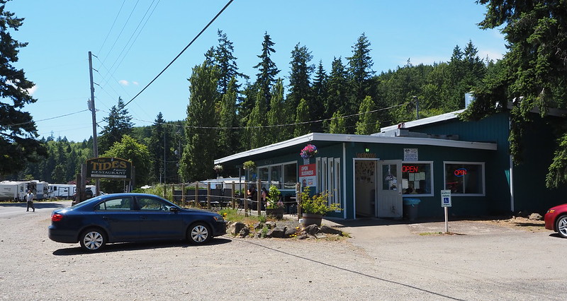
Continuing down the highway, I stopped like earlier to snap photos. When I was stopped at the Tides Family Restaurant for a photo, I noticed a very dirty Honda motorcycle with either a V-twin or V4 engine. Maybe it was a Sabre? Oddly enough, I'd run into the couple who were riding it a couple more times throughout the day.
Hoodsport was quite a bustling little town! There were people and cars everywhere, which wasn't something I was expecting in such a remote area. I would've loved to check out Lake Cushman, but decided to save that for a future ride instead.
It was around this time when I started getting travel and photo fatigue from being out for so long and not seeing much change in the scenery. I was overjoyed when I finally got off US 101 and onto SR-106 in Skokomish.
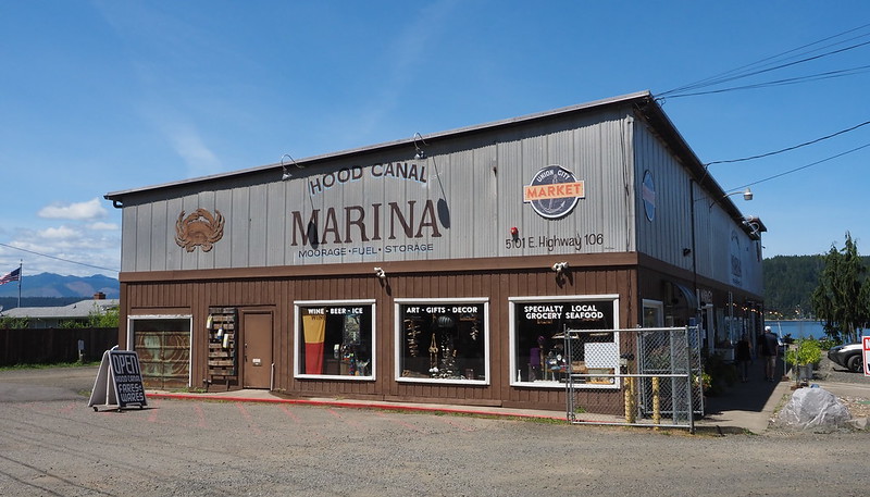
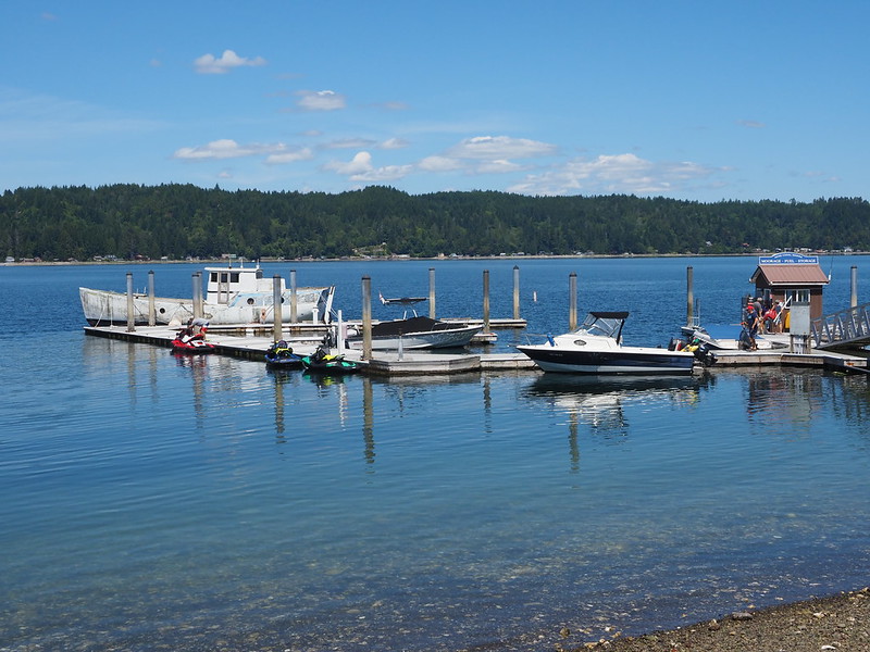
I next stopped in the town of Union, going on my usual photo walk. The only thing of note I recall was the prevalence of jetskis out there.
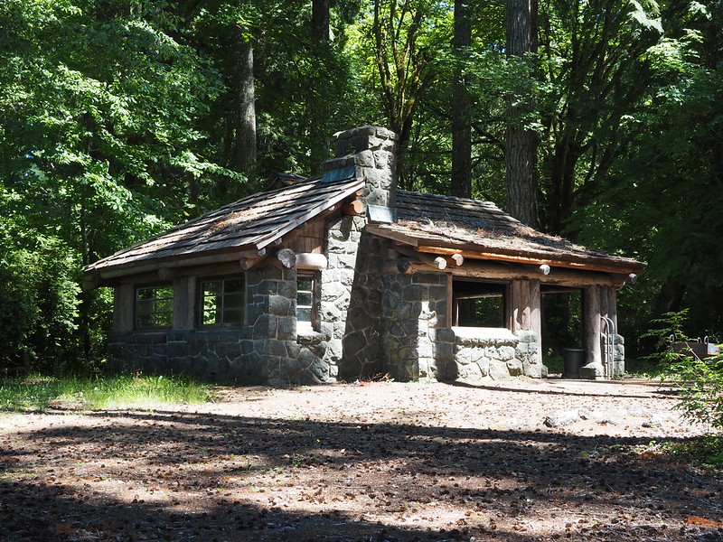
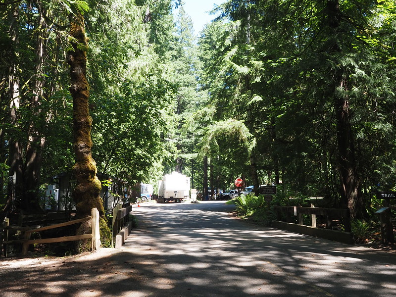
Twanoh State Park was a nice place to rest, but didn't really strike me as being a very interesting state park. It just felt like a large park with RV camping and some shelters.
I ended up in a small group of motorcycles on the way to Belfair, but they were headed straight north on SR-3 while I was crossing the peninsula on Lake Forest Road. Traffic on the highway was horrible, so it was nice to get away from it. However, the drivers on the smaller roads really wanted to go fast, and the wind was really battering my head, making me wish for a taller windshield.
After passing through some familiar territory, I finally made it to Southworth and my ferry back to Seattle. While I waited, one of the dock workers walked up and started chatting motorcycle with me. His Harley-Davidson was parked in the motorcycle waiting area, and he said that he'd recently done an 1800 mile trip on it. He said that after that, he didn't want to look at it again for a week, as it wasn't really kitted out for long trips like his Vulcan.
Aside from me, there was one other guy on a motorcycle getting on the ferry. His was a Triumph Scrambler 1200, which is a model that interests me a little.
I'm at Southworth Ferry Terminal in Southworth, WA https://t.co/P2ClgHAdHz
— 竹下憲二 (@takeshita_kenji) June 18, 2021
Return Home
Getting between Fauntleroy and the way home was quite a hassle! I had to avoid the closed West Seattle Bridge, then go through a detour for Barton Street, and then ended up making the wrong right turn onto SR-509 because I misinterpreted my GPS's directions. That sent me on a mile or so of freeway until the next exit, where had to backtrack to my route. One thing of note that comes to mind was the stop sign at the end of the offramp: drivers were letting folks from the freeway make a left one at a time rather than all piling into the eastbound lane of the road.
From the South Park Bridge, I took my usual route all the way home, through the Alaskan Way Tunnel. It wasn't even dark by the time I got home!
The next day, my partner and I visited my parents and he installed a taller windshield that had arrived during the week. Unfortunately, even though it was brand new, it had a nasty scratch in it right where I'd be looking when riding. I hope that doesn't distract me too much.

























No comments:
Post a Comment