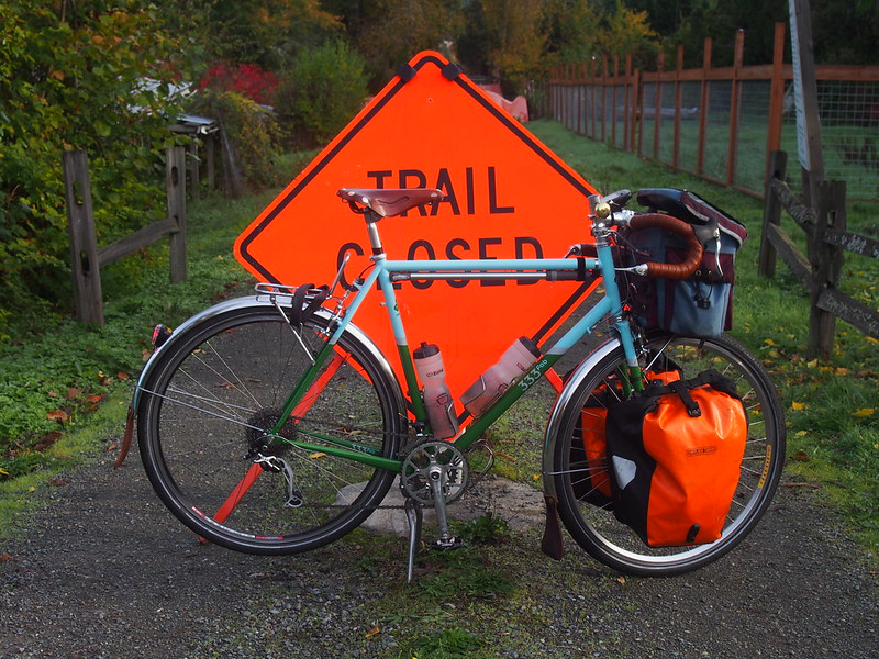
What started out a fairly simple Metric century ended up being marred by confusing directions and several "TRAIL CLOSED" signs.
More after the break…
Outbound
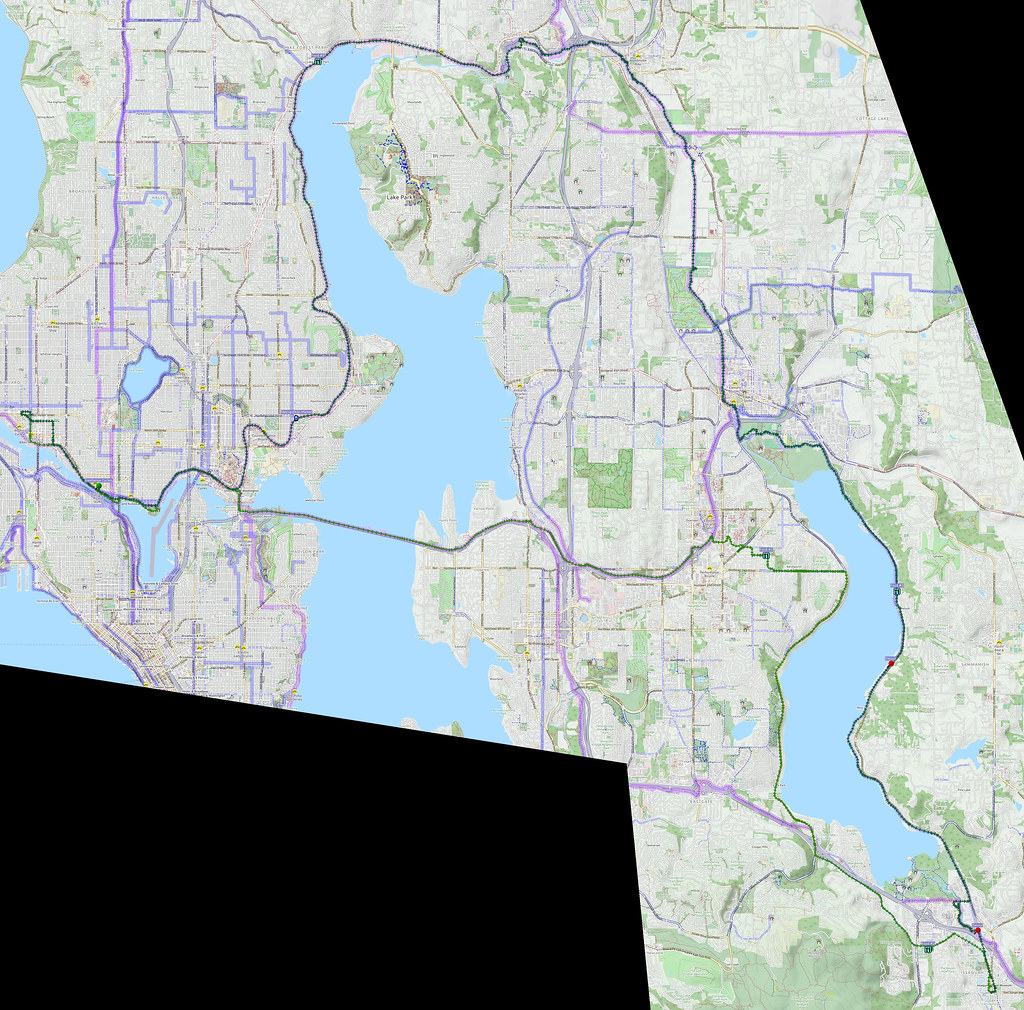
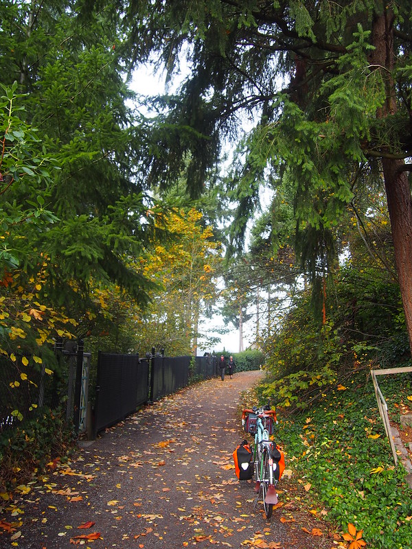
I started at about 5:15 in the morning, then headed east along Burke-Gilman Trail and 520 Trail. I was pretty tired of going through downtown or around the north end of Lake Washington, so I thought this would be a good change of pace. The route was fine all the way until Bellevue, but I was given an unfriendly reminder of how the trail exits the city: a steep climb followed by a tight turn that needs to be taken at low speed.
The connection between 24th and the 520 Trail is pretty bad. #cycling #seabikes
— 竹下憲二 (@takeshita_kenji) October 27, 2018
At one road crossing along the section of trail east of Bellevue, I was making an adjustment while this white pickup truck just stopped in the road, no hazards flashing or anything. A car behind them honked and went around, but it was a while before the truck finally got moving again, and at a slow speed. It stopped about a block away again, and I felt pretty creeped out as I rode away.
I left the trail at NE 36th Street, after the first of many wrong turns in the area. My route involved several turns and going through small streets, while I slowly immersed myself in fog over the distance.
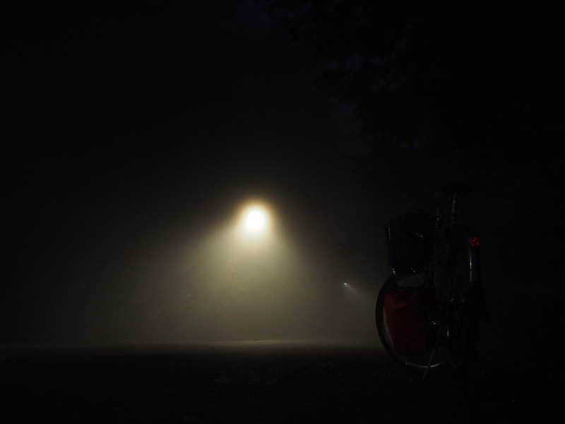
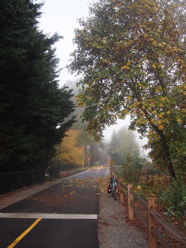
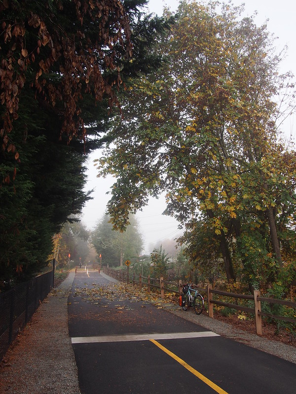
Saw fog in the distance as I rode through Bellevue, then hit it once I got to Redmond.
— 竹下憲二 (@takeshita_kenji) October 27, 2018
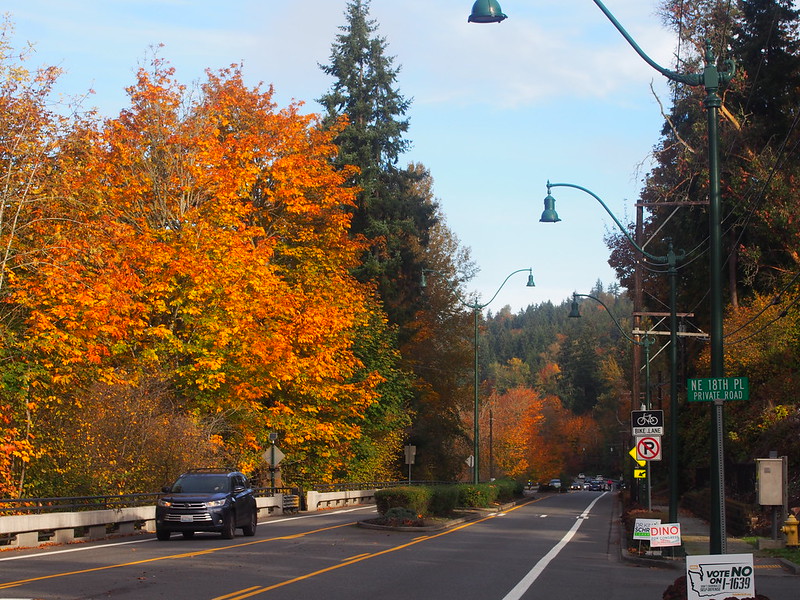
After a bit of a descent followed by a small rise, West Lake Sammamish Parkway jumped out of the fog, and I followed the road south towards Issaquah.
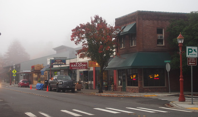
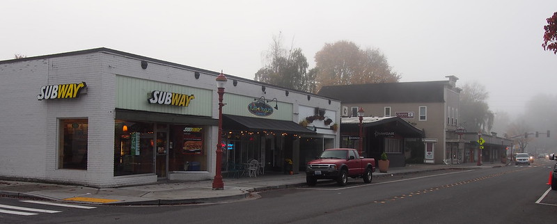
The sky gradually lightened as I headed towards Issaquah, but the fog didn't dissipate. My face was soaked as I got into town.
Rotton banana peels all over the pavement at this park. (@ Tibbetts Valley Park - @cityofissaquah in Issaquah, WA) https://t.co/Py9EagZwln
— 竹下憲二 (@takeshita_kenji) October 27, 2018
Inbound
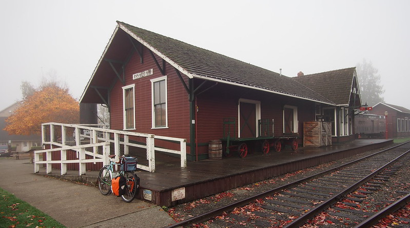
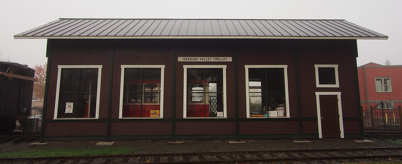
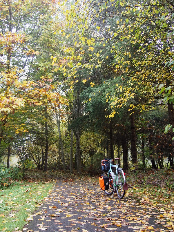
After taking the few photos, I headed back north along the Rainier Greenway, which follows the old Northern Pacific line through town. The remaining tracks are the home of the Issaquah Valley Trolley, whose main vehicle is an old streetcar with a diesel generator onboard.
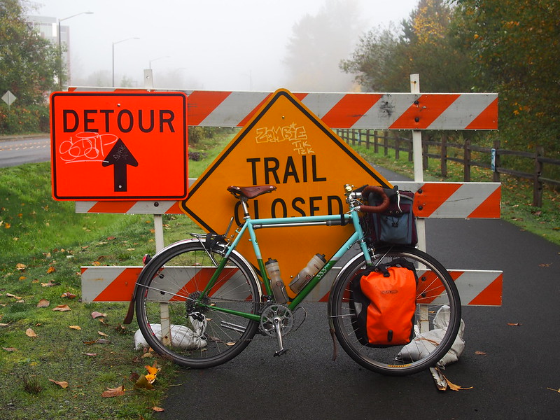
Once I'd crossed NW Gilman Boulevard, I got a nasty surprise: the trail closure was still in effect.
East Lake Sammamish Trail is still closed in Issaquah after over a year. Was afraid of this so I looked it up on the King County Trails page, but found no mention of a closure. What gives? #seabikes #cycling @seabikeblog
— 竹下憲二 (@takeshita_kenji) October 27, 2018
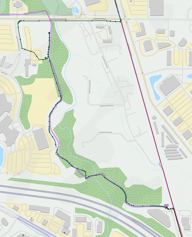
However, this time, there was a detour sign, which sent me on a confusing route that never returned to the trail! I had to leave the supposed detour route and find my own way back to the trail!
There weren't even any detour signs after the first one! I saw several closed trails, and the most obvious open trail diverges from the E Lake Sammamish Trail without ever returning to it! What kind of detour is this?
— 竹下憲二 (@takeshita_kenji) October 27, 2018
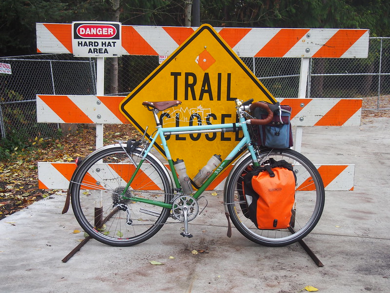
There were still a number of "TRAIL CLOSED" signs along the supposed detour route, too.
Once on the road, it was pretty trivial to get back to the trail. It's a shame Issaquah can't figure out how to be helpful here.
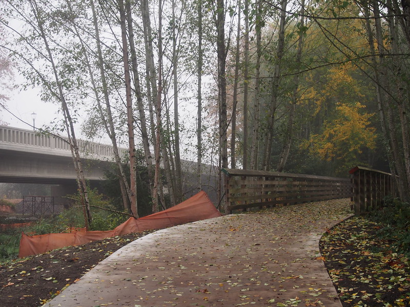
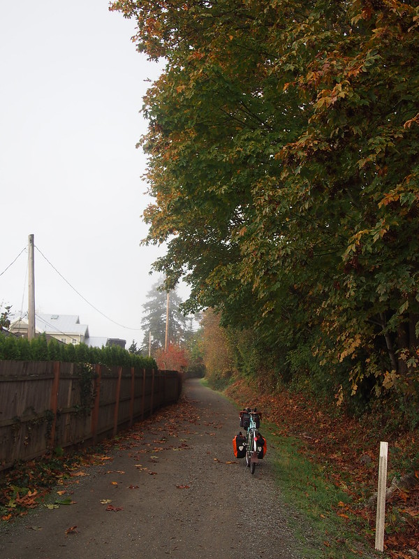
While cycling advocates have been fighting hard for a long time to get this trail paved, I still find myself preferring the old, unpaved version of the trail.
I thought I was done with detours, until I ran into yet another "TRAIL CLOSED" sign.
And had to ride on East Lake Sammamish Parkway for a while.
There was no clear sign of when it was safe to return to the trail, but I just picked a driveway that gave me a clear view of the trail, which showed the trail as being open.
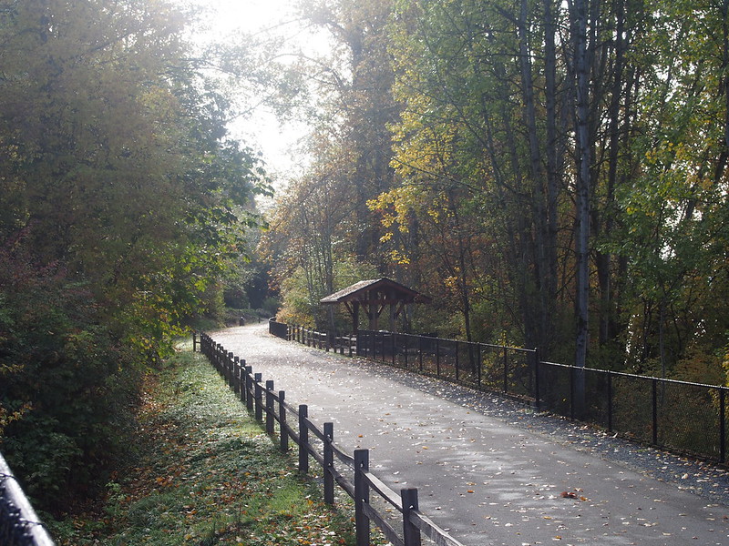
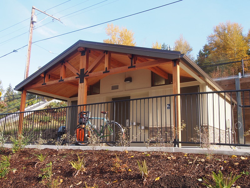
It was nice seeing a new restroom on the last stretch of the trail.
After missing my turn into Marymoor Park, I turned around and headed through the park and back toward Seattle on the Sammamish River Trail.
When I passed through Bothell, the Sammamish River Trail looked a bit too busy, so I took my usual route along the Burke-Gilman Trail through there instead.
The rest of the ride home was pretty routine, other than a quick stop for a drink at a grocery store.
I'm at Metropolitan Market in Seattle, WA https://t.co/ldasat2F4U
— 竹下憲二 (@takeshita_kenji) October 27, 2018
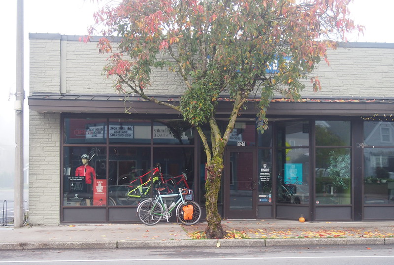
And a stop at FreeRange Cycles to talk about some bike fit analysis.
Today taught me that a major cause behind my bike fit problems is my shoes: they are too large. Even with the cleats all the way forward in the slots, I feel like I have no power unless I make sure my feet are far back in my shoes. #cycling
— 竹下憲二 (@takeshita_kenji) October 28, 2018
Not only did I see a lot of tandems, I saw a triple! Two parents and their son. #seabikes #cycling
— 竹下憲二 (@takeshita_kenji) October 27, 2018
I finally got home a little before 3 PM.

No comments:
Post a Comment