A ride to a place whose name I've seen quite frequently.
I originally posted this ride report to Storify, but I wanted to pilot it with this new XML-based system as well.
Yesterday: 136.14 miles http://t.co/lg2vbyv5NY #cycling
— 竹下憲二 (@takeshita_kenji) November 17, 2013
Part 1: To Seattle Ferry Terminal
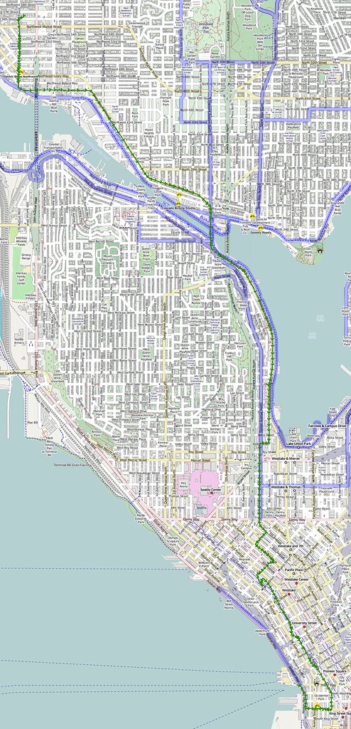
I started at about 05:00 and headed to the ferry terminal downtown.
I like going this way because I avoid riding through Seattle's suburbs. (@ Seattle Ferry Terminal) http://t.co/aNwd62Y75c
— 竹下憲二 (@takeshita_kenji) November 16, 2013
I really wish my nose wouldn't run so much.
— 竹下憲二 (@takeshita_kenji) November 16, 2013
Part 2: Kitsap
It wasn't foggy when I first got to Bainbridge, but it was really cold. I had to put my gloves on not too long after climbing to the top of SR-305.
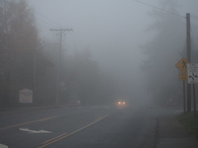
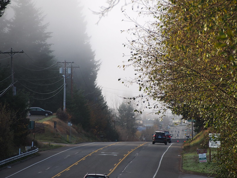
It did turn rather foggy when I got to Poulsbo, but let up for a bit after starting south.
Apparently it's always foggy around here in Autumn.
— 竹下憲二 (@takeshita_kenji) November 16, 2013
The fog came back after I the big hill just north of SR-3 in Silverdale.
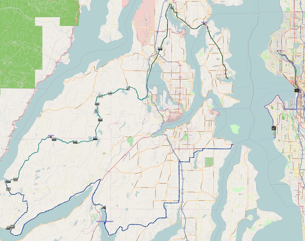
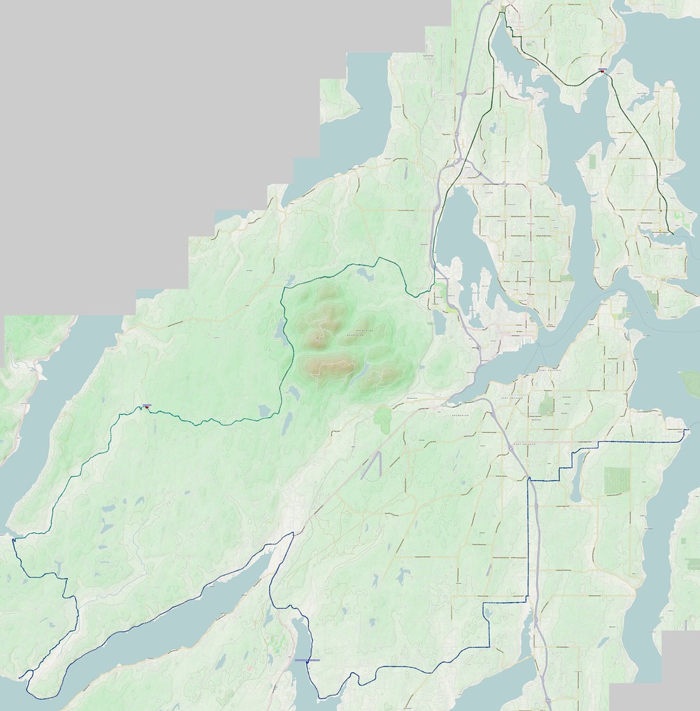
After leaving Silverdale, I turned to start the climb up to Wildcat Lake. I chose this route because the previous ways I've tried south out of Bremerton (which I would've entered had I continued along the same road I took through Silverdale) weren't much fun. (I've since realized a way to make it work, though.)
There was a lot of odd smoke out there.
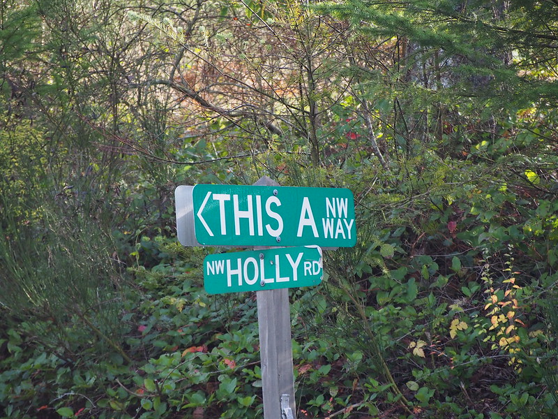
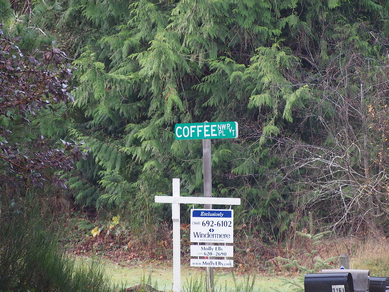
And, of course, the area with funny street names.
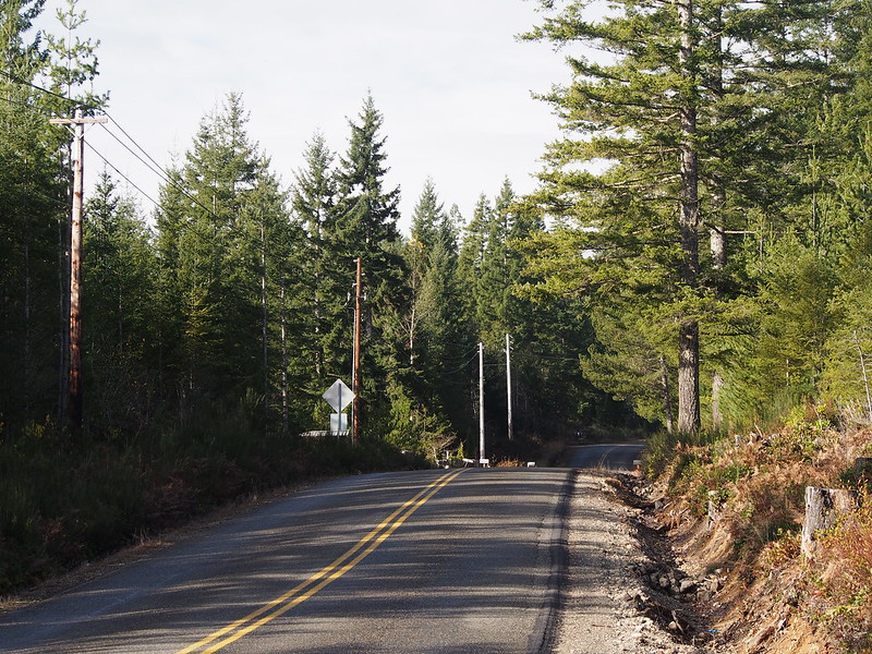
As typical, moving cars became less and less frequent out here.
However…
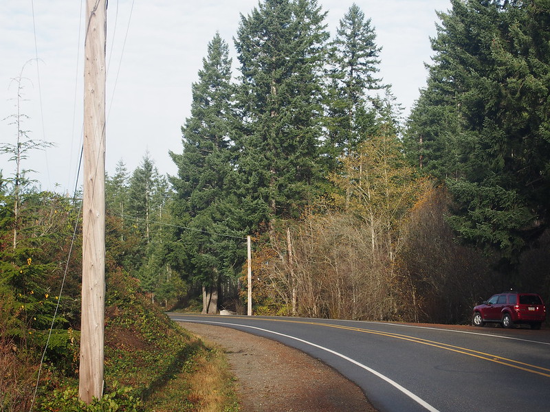
Every now and then, I'd see a car parked on the edge of the road in the forest without any activity going on.
— 竹下憲二 (@takeshita_kenji) November 17, 2013
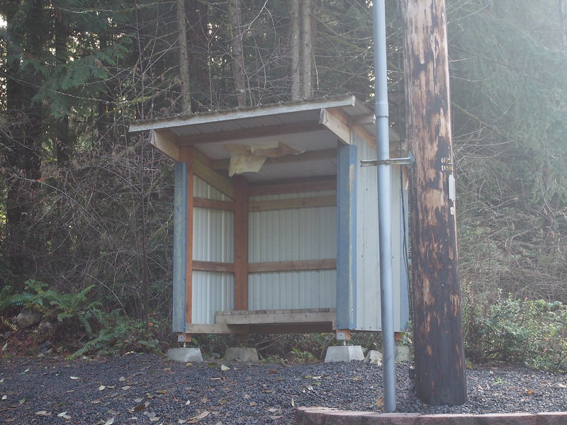
On many of my past rides, I would see shelters like this on the side of the road, usually near driveways. Since there has likely never been any bus service out here, what service do they serve?
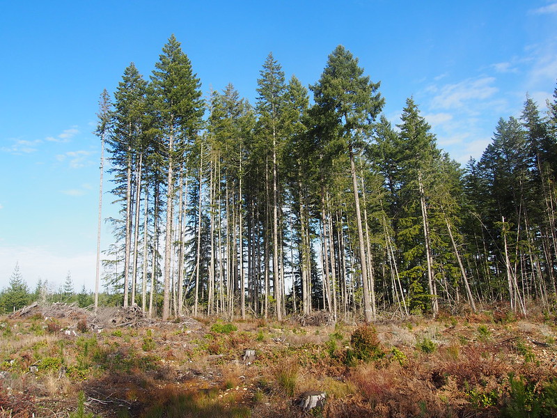
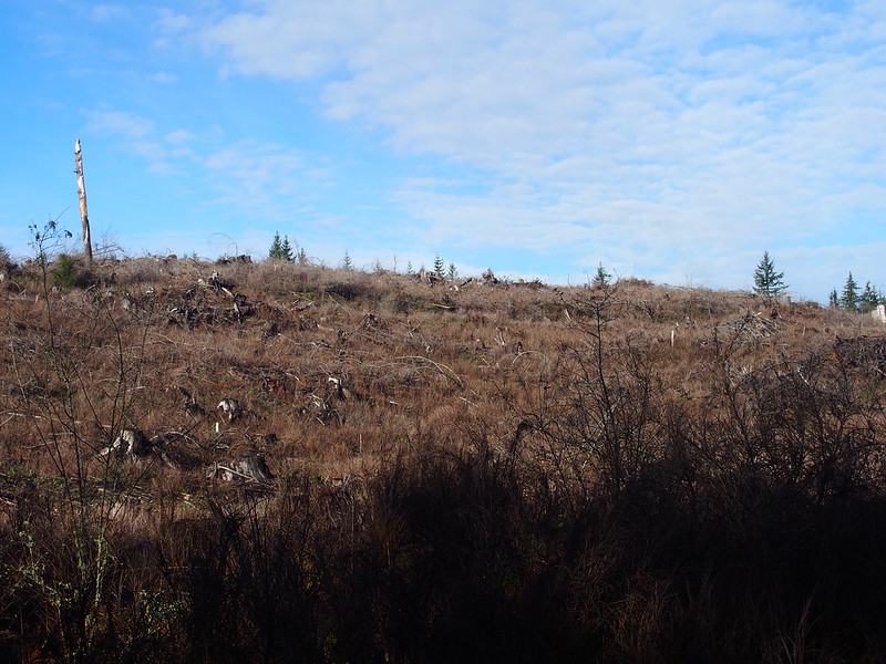
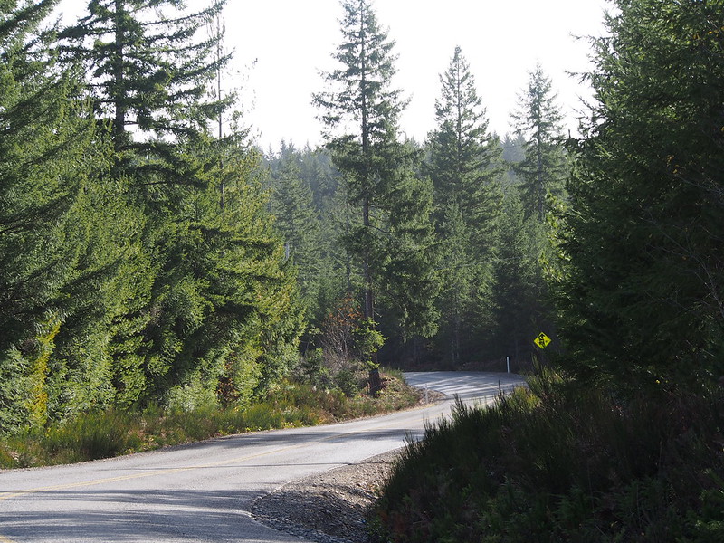
Lots of young trees and deforested areas around here.
One of my favorite parts of riding in this area is how there is usually almost no traffic out there.
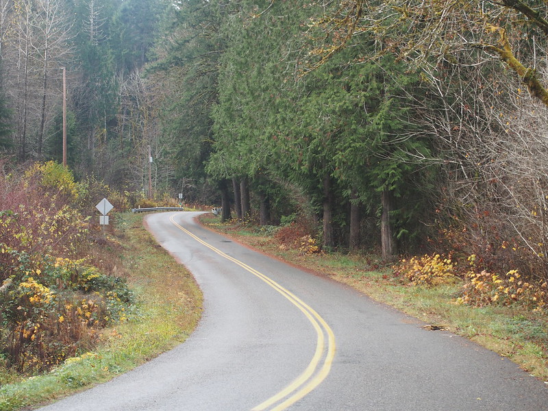
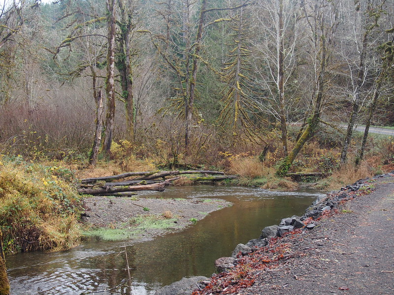
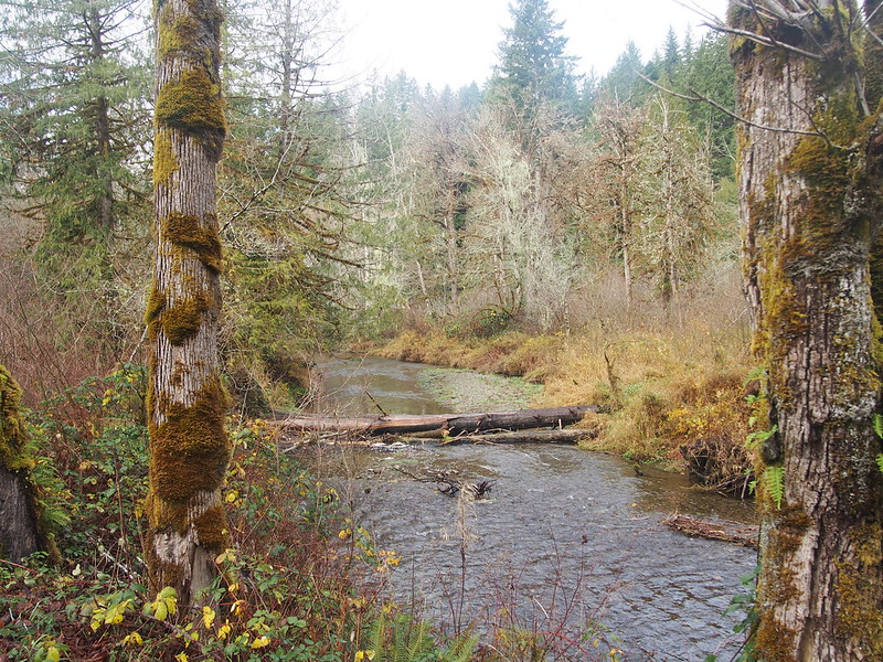
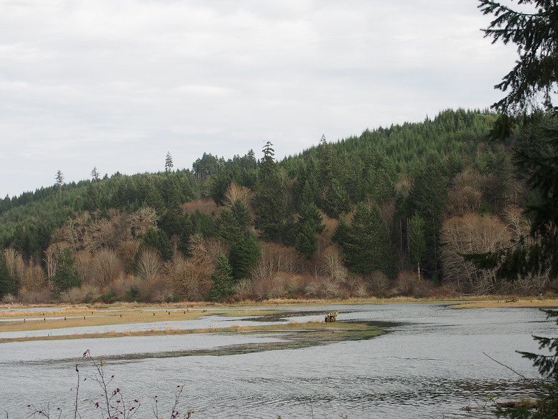
I eventually ended up following the course of the Dewatto River (pronounced like 'do-auto').
One of my goals on this ride was to see the community of Dewatto. There wasn't anything to see.
Dewatto = nothing.
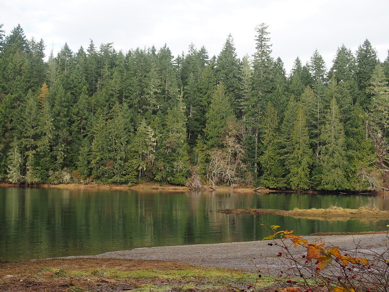
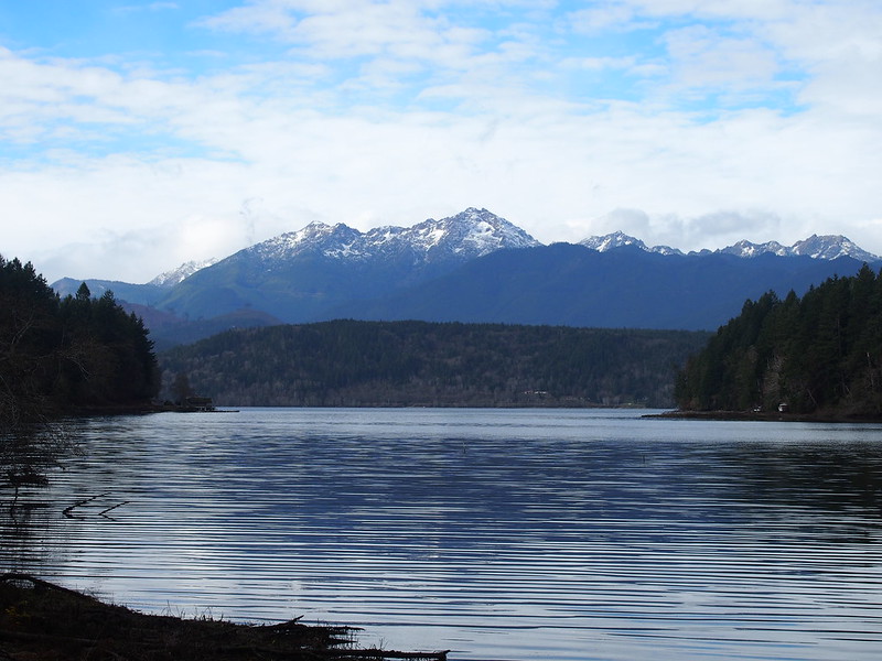
However, I did get a nice view of the Olympic Mountains.
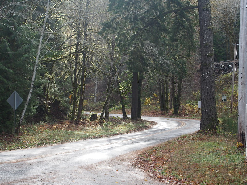
And a bit of a climb from the shore. Yes, the bit to the upper-right is the same road, and the grade gets worse.
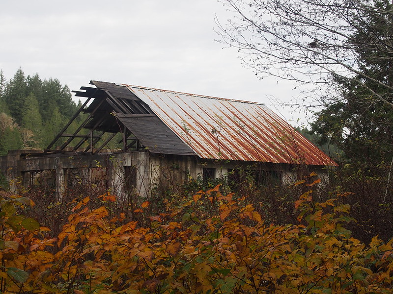
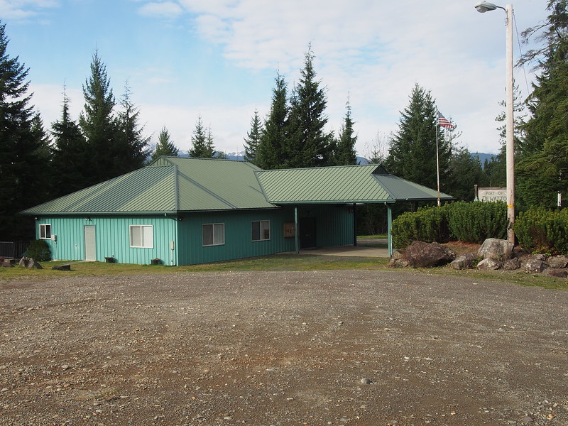
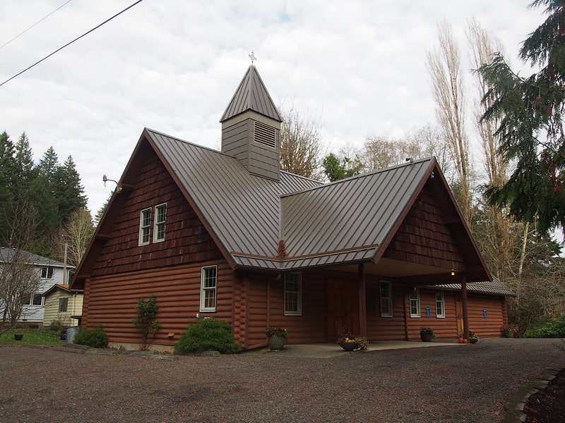
Aside from scattered houses, the only sign of civilization of the area was this at the top of the slope.
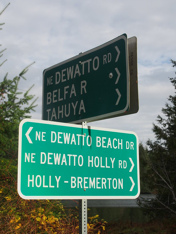
From there, I eventually made my way to Belfair-Tahuya Road, known from pastrides, and then took a much smaller, unmarked road along the Tahuya River valley to Tahuya.
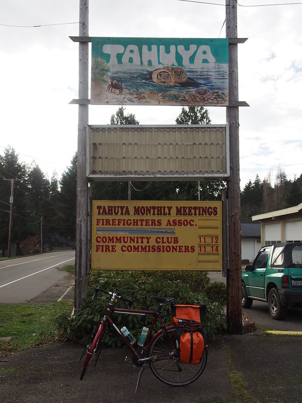
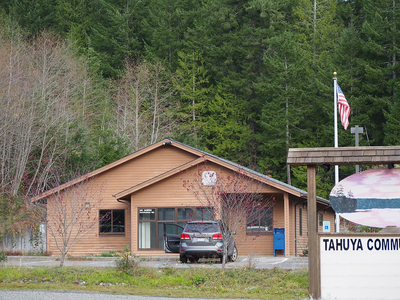
At least there is actually stuff in Tahuya, even if it isn't much.
For the return trip, I went along North Shore Road.
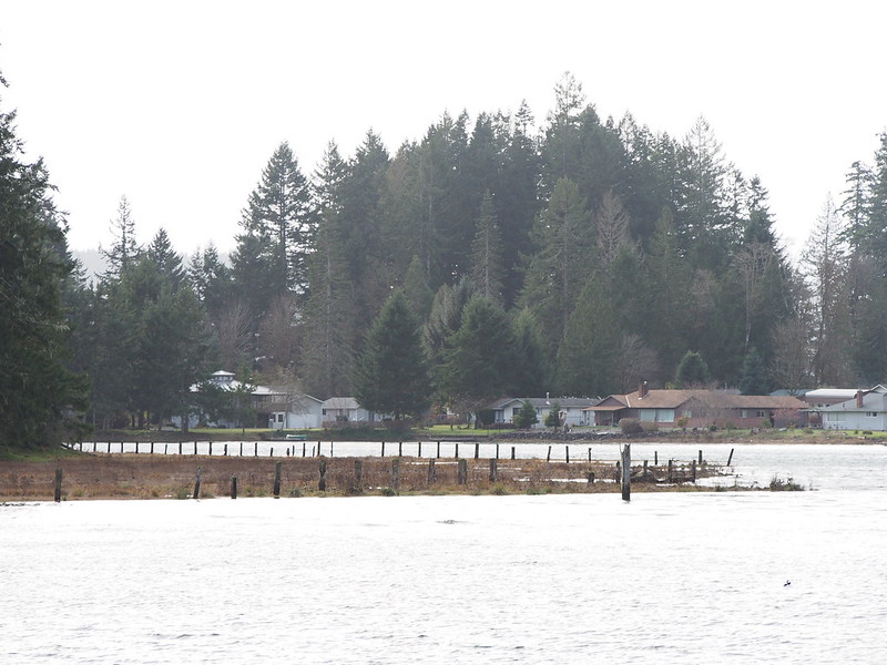
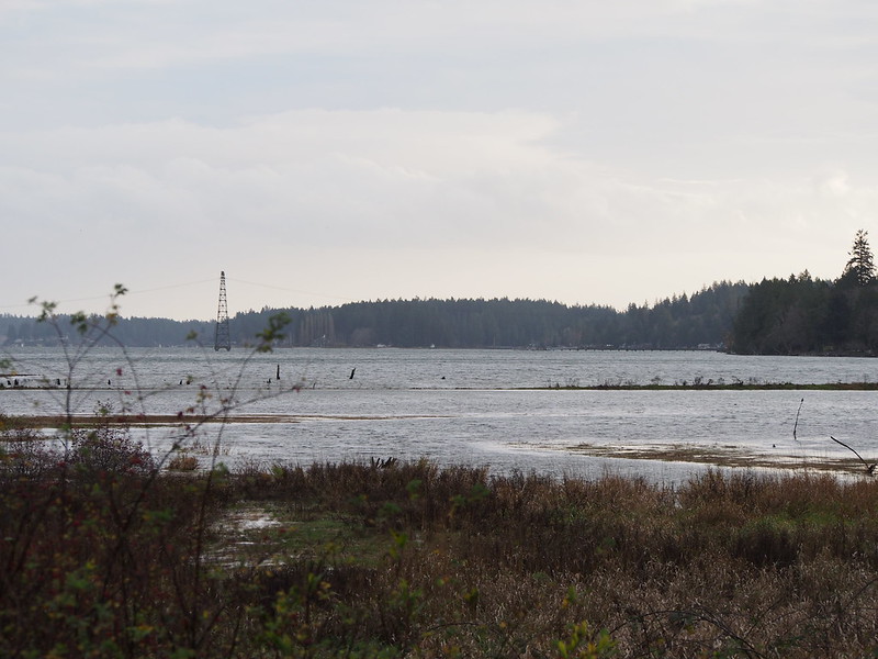
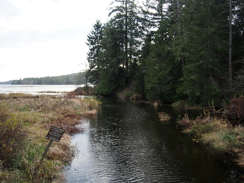
This included crossing the mouth of the Tahuya River.
From there, it was a lot like SR-106 from previousrides, with houses on both sides of the road. A strong tailwind pushed me much of the way, though the wind did seem to change direction frequently.
Rather than taking the climb out of Belfair with endless streams of cars zooming by, I continued along SR-302 to the Key Peninsula, where I saw the 'KPN' address scheme again.
Along there, I ran into this:
Someone crashed their car into a telephone pole and there was a big scene, but the police officer involved in handling the situation waved me past the line of cars waiting for it to be cleared.
After that, I just focused on getting to my destination. It became dark during this time, and folks in the other direction were using their high beams which made it hard for me to see the road. The clouds I saw in Seattle's direction had lightning sparking in them, and I was fearful of finding nasty weather between where I was and home.
The part from Belfair to here wasn't as much fun as the parts before that. Too dark for my tastes. #cycling
— 竹下憲二 (@takeshita_kenji) November 17, 2013
The worst of it was Bethel Road/Bethel–Burley Road, where traffic was frequent. Thankfully, I ended up on small, quiet roads after that. Unfortunately, these same roads featured nasty slopes in both directions and tight turns with lots of trees. By the time I got to SR-160, I decided to just take the highway, which proved to be a mistake as it also features nasty grades. In retrospect, I should've stuck to my route and gone the slightly longer way with minimal sustained inclines. I won't make that mistake again.
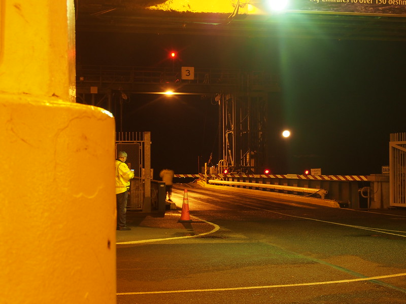
I'm at Southworth Ferry Terminal (Southworth, WA) http://t.co/HiBQf1PaYE
— 竹下憲二 (@takeshita_kenji) November 17, 2013
I spent most of the day without mobile phone service. Isn't technology wonderful?
— 竹下憲二 (@takeshita_kenji) November 17, 2013
I didn't get coffee until I was on the ferry, which was when I started to feel better. It was the last of the stuff in the pot, and I had to add some hot chocolate to actually fill my cup.
Riding in unknown territory in an area known for steep slopes and blind corners when it's dark with no ambient lighting does little for my resolve. Caffeine is a generally effective resolve patch kit, though.
Part 3: Return Home
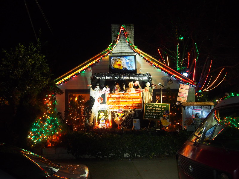
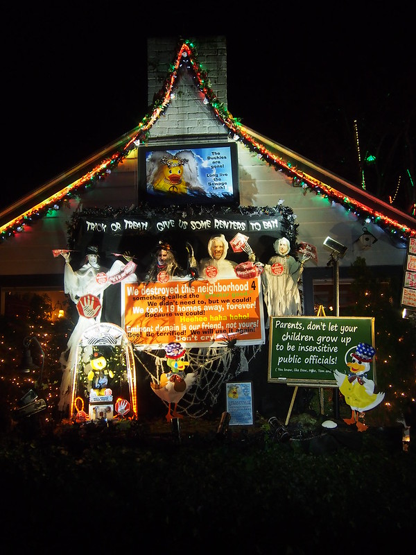
Shortly after the crossing, I ran into this house:
Oh boy, politics.
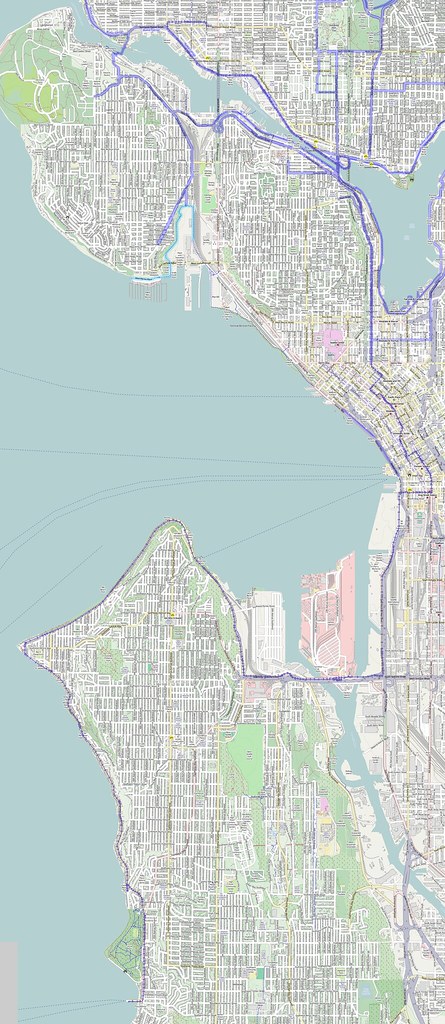
And then I hurried home, taking the route around Alki. I like that route in the dark now, and will keep it in mind on my way home on these long rides.
My mental burnout says, "GO TO BED."
— 竹下憲二 (@takeshita_kenji) November 17, 2013
No physical burnout, though: I've learned to regulate myself.
I saw no rain on Saturday's ride.
— 竹下憲二 (@takeshita_kenji) November 17, 2013










No comments:
Post a Comment