My first century in quite a while, and it wasn't even intentional!
Related albums:
I managed to forget my phone on this ride, but that didn't stop me from having a great time!
More after the break…
Part 1: To Light Rail
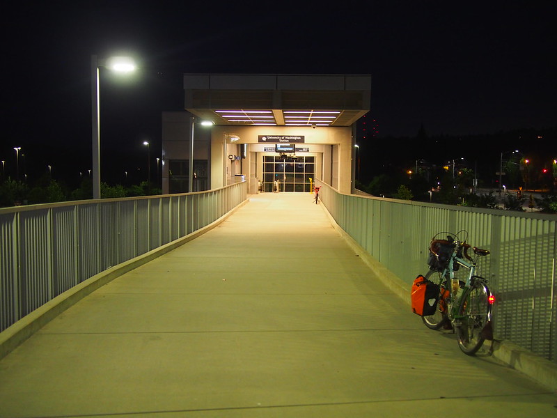
I left home at 3:50 AM because I wanted to catch the 4:45 AM train. Little did I know that doing so would grossly underestimate my speed, resulting in my 4:15 AM arrival.
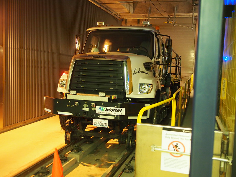
The first elevator that showed up wouldn't go down after I got in, so I assumed that the elevators weren't in service yet. 15 minutes before the train was scheduled to depart, the elevator still didn't work, but the other elevator car showed up when I requested one.
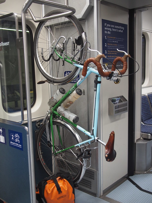
Not long after that, I was on the train headed south with my bike.
Part 2: Outbound
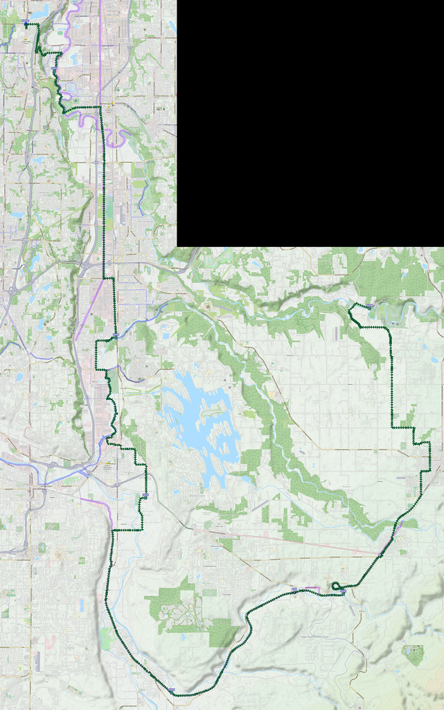
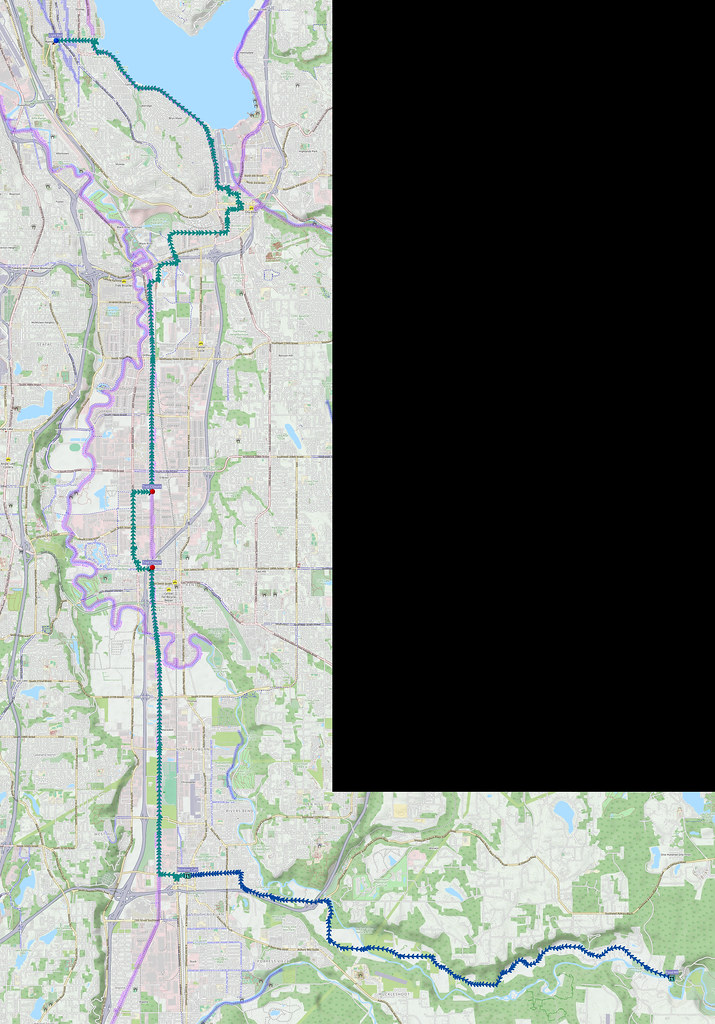
While planning this ride, I thought I set it to start at Angle Lake Station and take an easy straight shot down to the Green River. I only discovered that I set it to start at SeaTac Airport Station once I turned my GPS on at Angle Lake. I should've remembered that such a straight shot into the valley didn't exist at Angle Lake. What did exist was 20% downhill grades into hairpin turns! I put non-aero brake levers on this bike in order to allow more freedom when finding the fit, but my fear inspired me to pursue aero levers again. It was so bad that I walked around the first hairpin turn, and only mounted my bike again once I could see that the whole way down was safe.
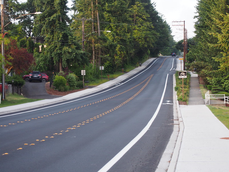
Something of note is that one section of road had been repaved since last time, gaining bike lanes and sidewalks.
When I finally did get down to the bottom, I found that the mosquitoes were both huge (<1cm) and relentless. The bites were themselves quite large and remained itchy for days!
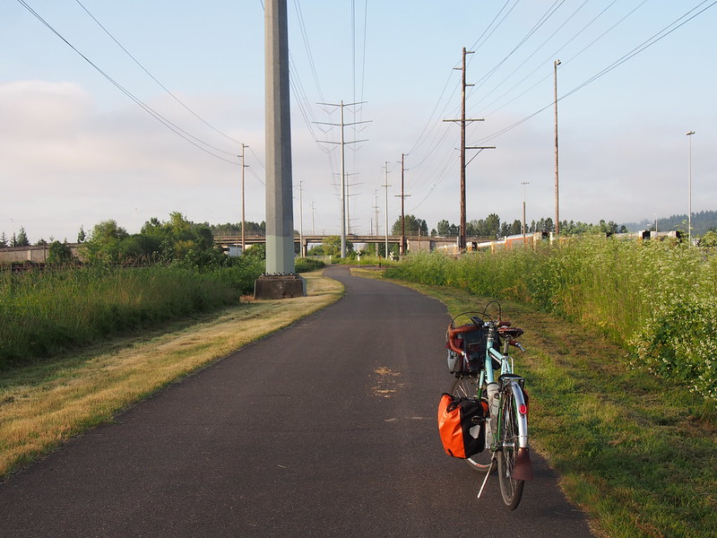
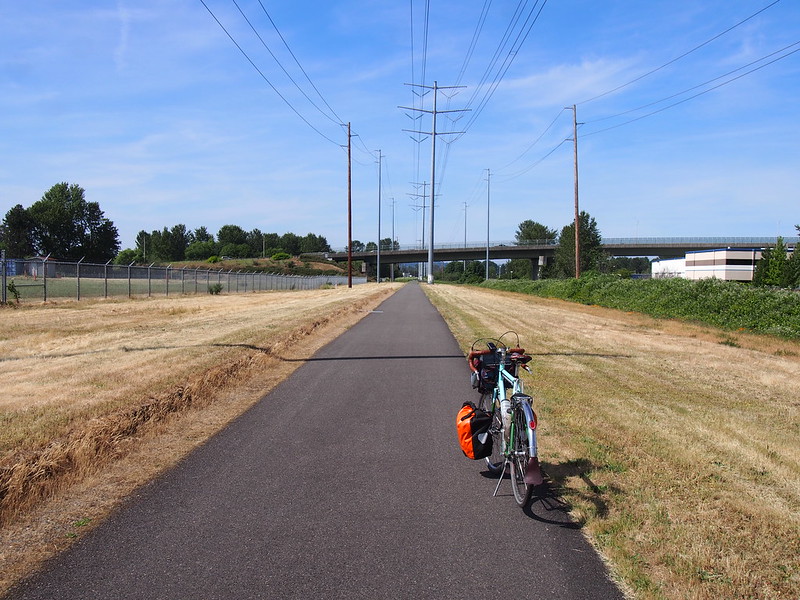
I thought about sticking to Frager Road the whole way to the Interurban Trail, but ended up using Meeker Street as a shortcut to get to the trail, which I rode all the way to Auburn.
In Auburn, I switched to the C Street Trail, continuing past its end to the White River, where I discovered that the City of Pacific Park had finally reopened! It had been closed for years at that point, so it was nice to see it back in operation.
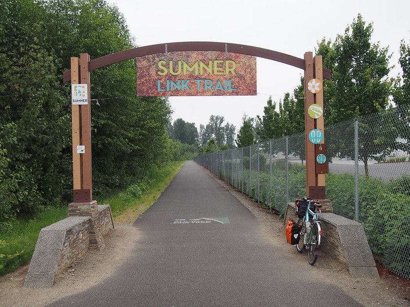
I took my usual route through Pacific to the Sumner Link Trail, then stuck with it all the way to 149th Avenue East.
And then I skirted the eastern edge of Sumner, avoiding the busy interchange of Valley Avenue East and SR-410. While eating on the side of the road, I saw a couple of folks with Swift bags. We rang our bells to say hello while they rode by.
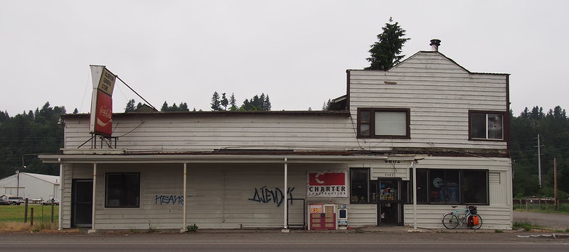
When I rode through Alderton, I noticed that a formerly open convenience store had since shut down.
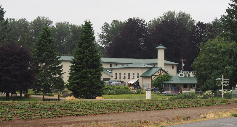
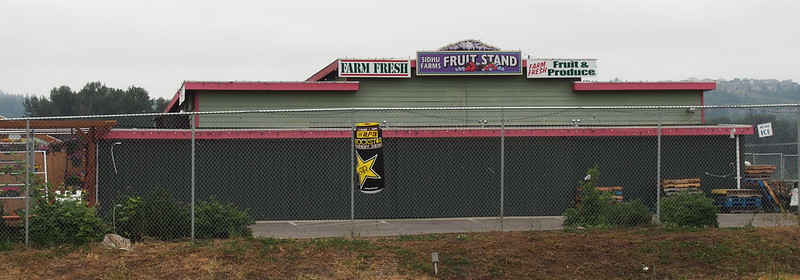
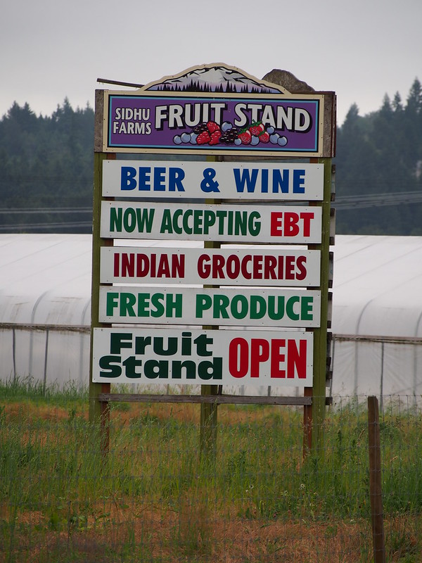
I also saw the main stand run by Sidhu Farms, who is present at a number of Seattle-area farmers' markets.
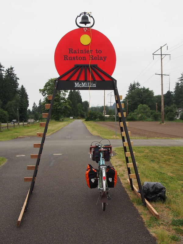
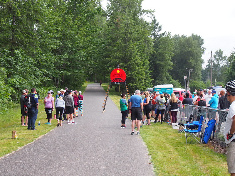
After looking around a bit, I headed south on the Foothills Trail. It wasn't long until I found the first sign of the Rainier to Ruston Relay run: a relay station. Each station had these freestanding structures with bells for runners to ring.
It was pretty quiet all the way to Orting, where I stopped by what used to be the Trailside Cyclery. Unfortunately, because I'd forgotten my phone, I couldn't call the former owner to see if he was around to shoot the breeze.
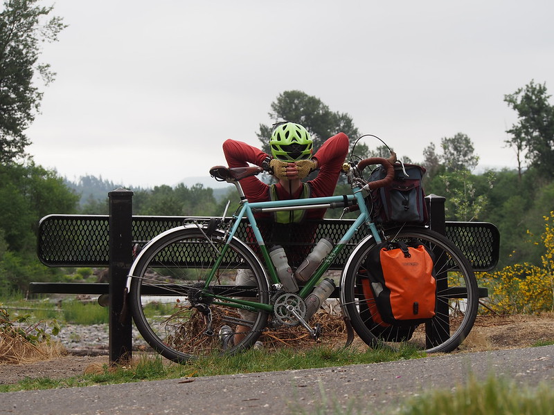
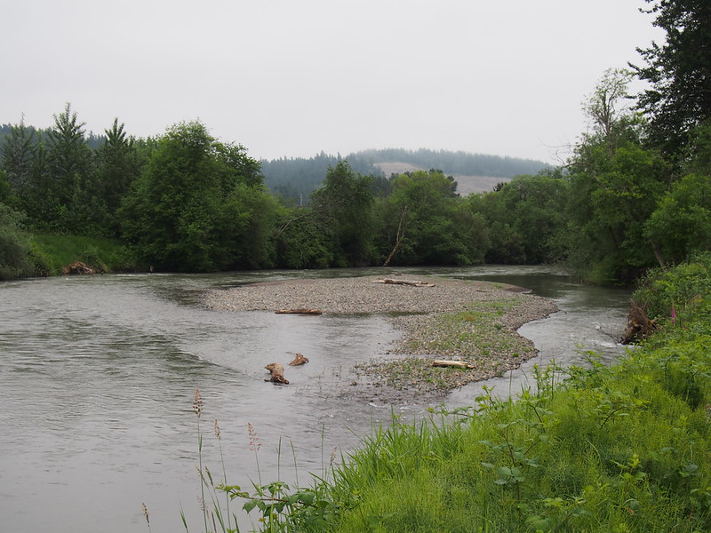
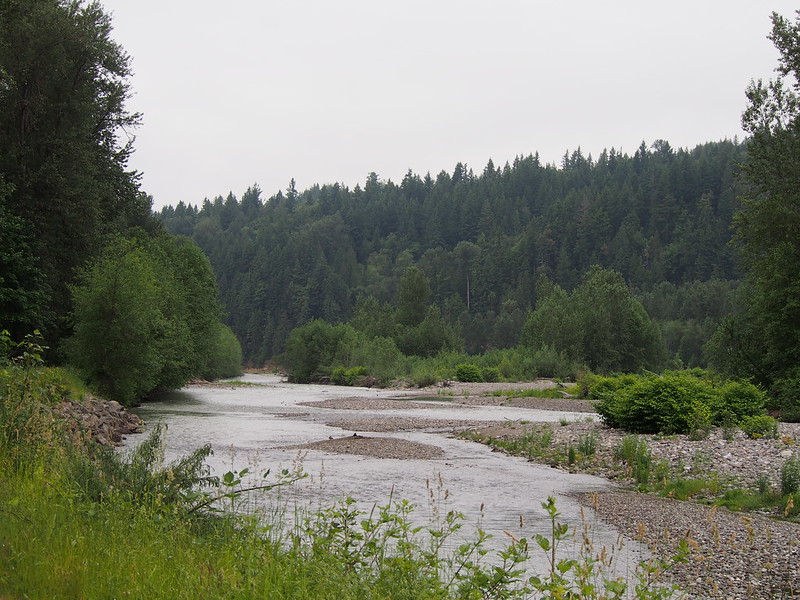
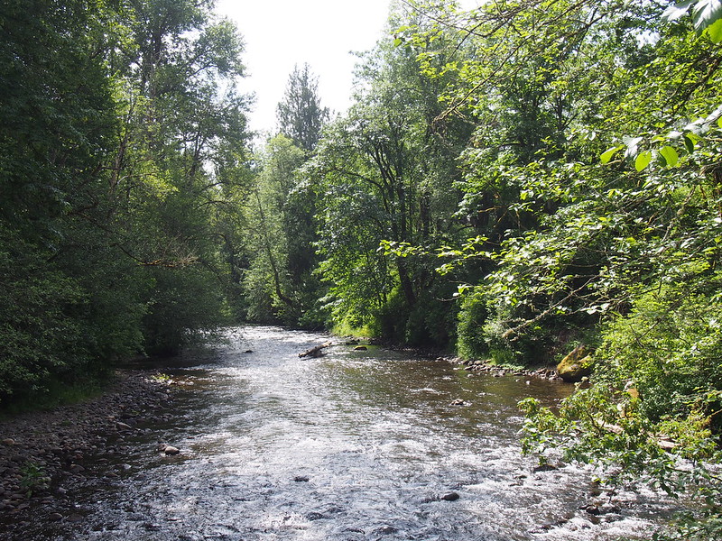
When I was taking a food break on the Carbon River's bank after leaving Orting, a guy on a Moots with full dynamo lighting stopped by. He was pretty sure he missed his turn, and he said "yes" when I asked if he was looking for Orville Road. He was doing an organized ride that headed down through Eatonville, Packwood, and then went out to Centralia.
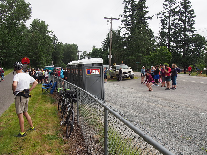
Not long after that food break, I started seeing runners doing the Rainier to Ruston (R2R), and the next relay station I came across was hopping! Not only were there crowds of people, cars going by were honking their horns to cheer on the runners.
Giving the runners room on the trail, I made my way to South Prairie, which was the "far point" of this ride.
Part 3: Inbound
Starting my way up into the foothills proper, it wasn't long until I saw the end of the first leg of the Rainier to Ruston Relay. That leg started at a campground a few miles south of the trail, on the unimproved section of the Foothills Trail's fork somewhere east of where the Carbon River Road forks off Mowich Lake Road. That's pretty far out there!
I didn't see any runners past that point, so I had a nice, quiet ride up the section of the trail that bypasses what used to be a noisy climb up SR-162. This was also the first time I was able to use the open section of trail on a longer ride, as last time was a ride both starting and ending at Fife.
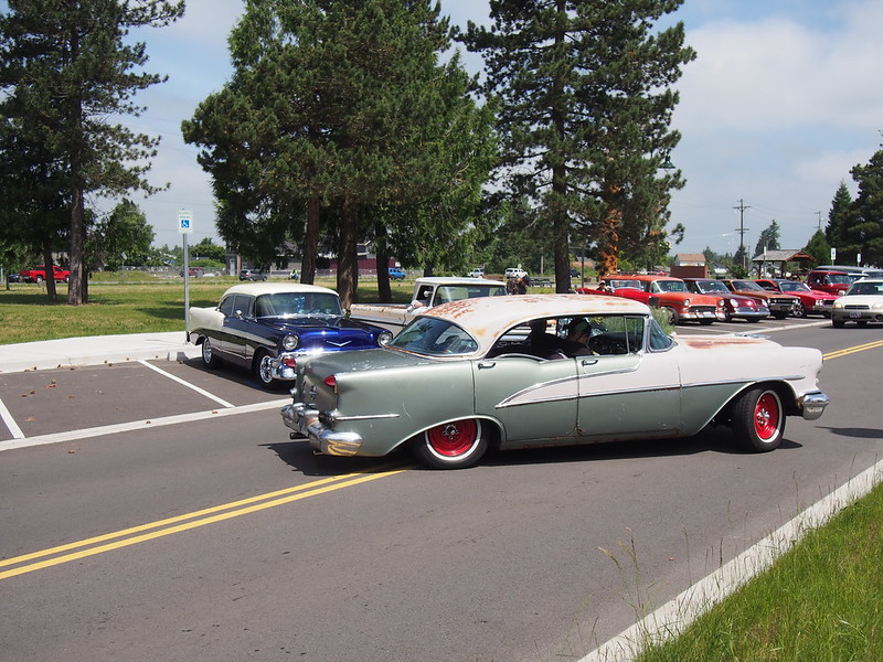
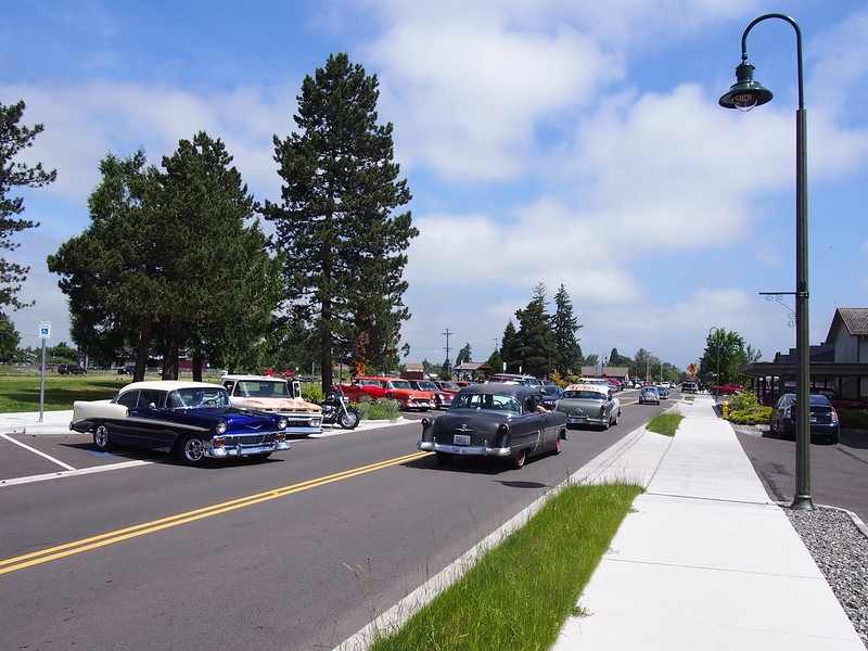
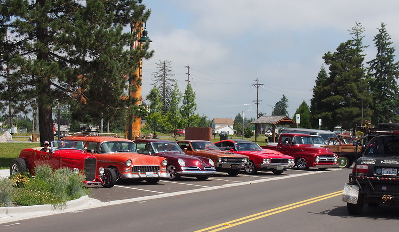
I was treated to a surprising sight when I arrived in Buckley: There was a group of classic cars parked on River Avenue. They were all leaving together while I made my way through town.
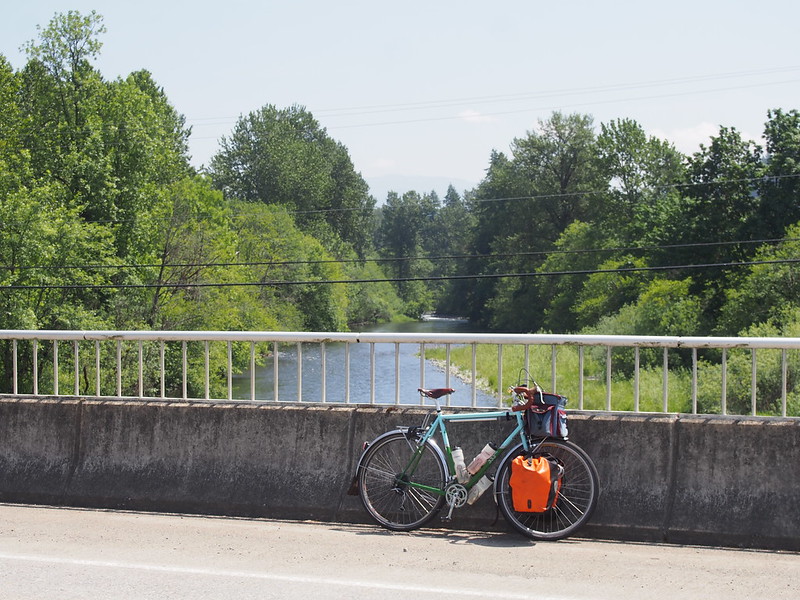
Crossing the White River on SR-410, I saw a cyclist on the side of the road replacing his tire partway up the incline into Enumclaw. The debris on these highway shoulders is pretty bad, which is why I've stuck with using touring tires for so long.
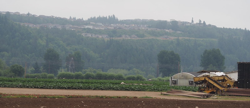
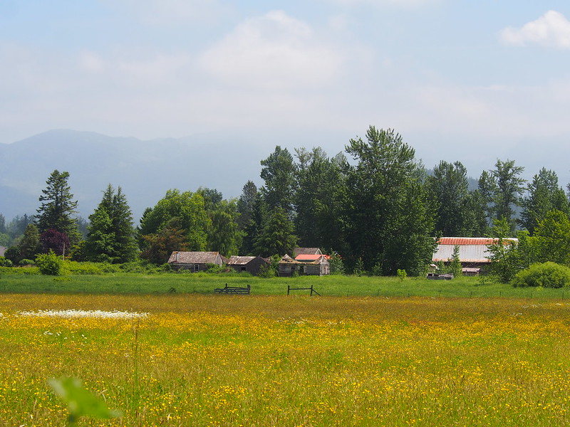
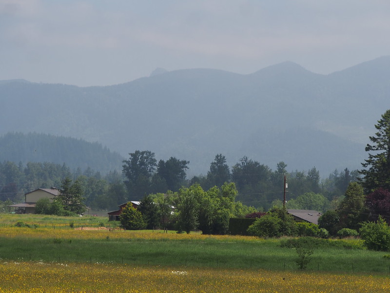
I didn't spend much time in Enumclaw, heading straight through time without a stop. Once out of town, I was treated to views of the plateau's farmlands and mountains on the horizon.
I had it in my mind that my route from Enumclaw to the Green River would've been flat leading into a fast downhill, but there were many little ups and downs.
However, it did lead to a long, steep downhill, so I ended up riding my brakes on Southeast 368th Street due to my fears from the morning. I didn't do so when heading down 212th Way Southeeast, though, since I knew what the road was going to do.
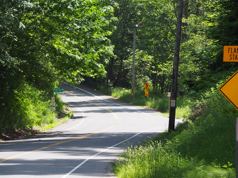
Rather than heading straight west through the Green Valley after the descent, I went most of the way to Flaming Geyser State Park for a rest stop. While I ate, I watched a large group of people on motorscooters go into the park, and a couple of cyclist start the hard climb up to SR-169.
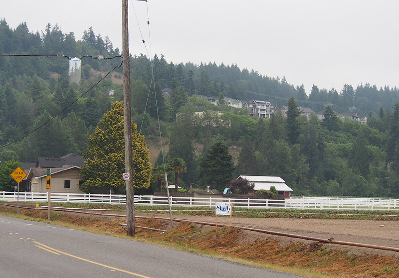
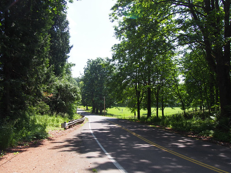
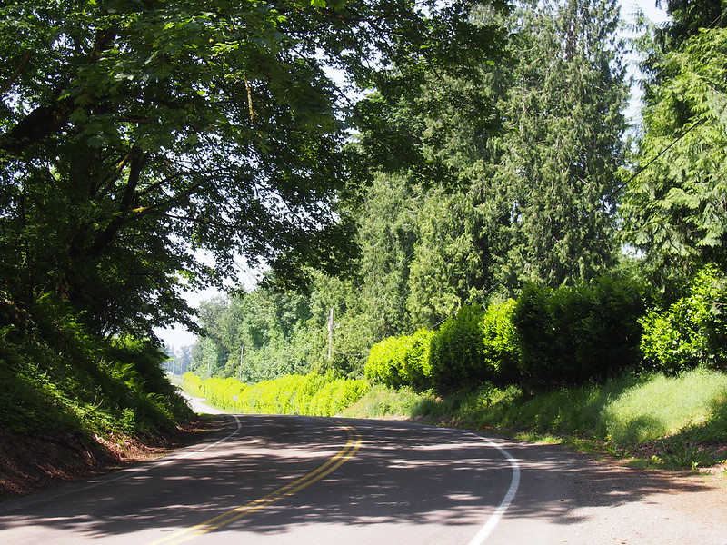
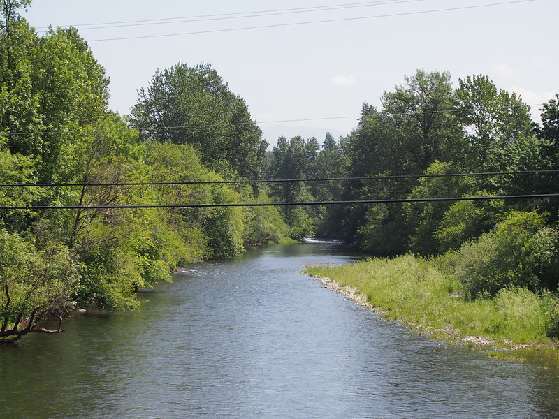
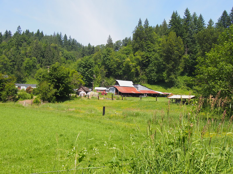
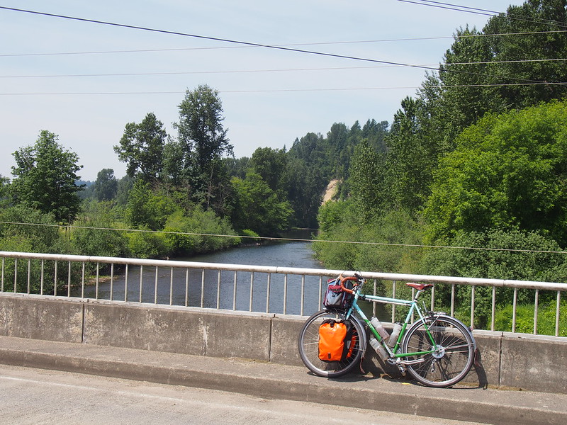
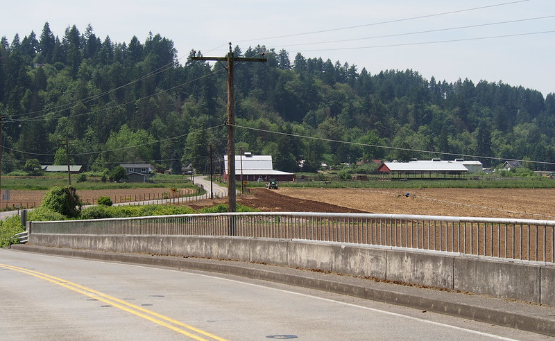
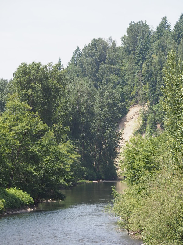
After I finished my food, I started finally heading west through the Green Valley. This is always one of my favorite areas to ride through because of how green everything really is!
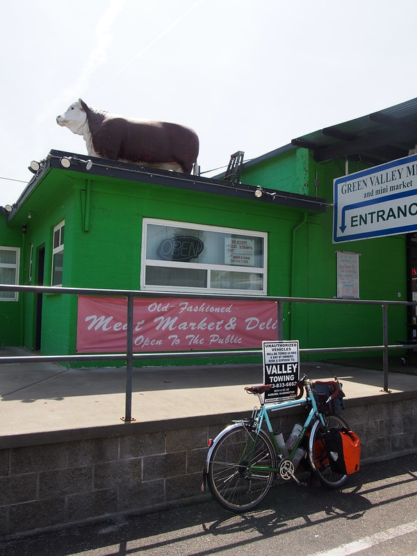
I saw the group of motorscooter riders again when I approached Green Valley Meats, so I stopped to chat a bit. The woman I talked to said that they do the ride through the valley every year on the first free day of June, and that most of them were from Tacoma with a few from Seattle.
Craving something other than peanut butter and honey sandwiches, I stopped at the Rainbow Cafe in Auburn for a patty melt. I had asked for potato chips instead of fries because I thought they'd just throw some Lays on the plate, which would be relatively light. Imagine my surprise when I saw a ton of freshly-fried potato chips, made in-house! The waitress was so nice that she even ran after me after I forgot my doggy bag of the chips.
Not long after I left the cafe, I saw a train just sitting and blocking Main Street's crossing of the mainline. A couple of other cyclist showed up and, after they called the rest of their group, they said that the train had been stuck there for 20 minutes, with police and fire trucks also responding. Rather than waiting for the train, I followed them and we all to the pedestrian bridge and associated elevators to cross the tracks. They told me that they were out on a Sumner–Mud Mountain loop ride for the day. The older of the two men really liked my PDW bell, but I incorrectly told them it was a Crane bell. While they left the parking lot on the west side of the bridge before I did, I managed to catch up to them and tell them that it was actually a PDW bell before we parted ways, with them heading south and me heading north.
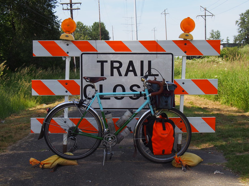
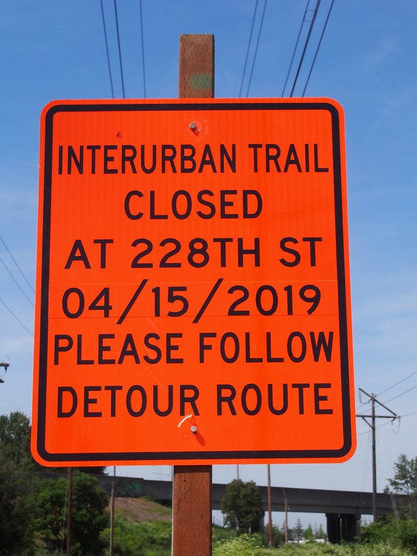
I thought the ride back north would be fairly routine, but with me running on partial power because my legs were pretty worn out. I got a nasty surprise when I saw that the trail was closed a little north of where I joined it this morning.
A couple riding together told me that the detour was heading north on SR-181 for a half-mile. While traffic was light so it wasn't too stressful, I was pretty annoyed by checking all of the side streets after the half-mile. They told me that it'd be a trail crossing rather than a road, and the detour along the highway ended up being 1½ miles instead. Anyone get the feeling that it's pretty hard to judge how far a mile is since it's a ways when viewing it from a human scale?
Once back on the trail, I made my way all the way to Renton.
And once in Renton, I took a different route than my usual as I'd grown tired of busy Rainier Avenue from my past rides through the area. I did join it north of the airport, though, which is never too bad, and stopped one more time at Rainier Beach, which was absolutely hopping with activity! You could tell that everybody there was having a good time.
After one last climb up to the light rail station, I was able to rest on the train back to the University of Washington.



No comments:
Post a Comment