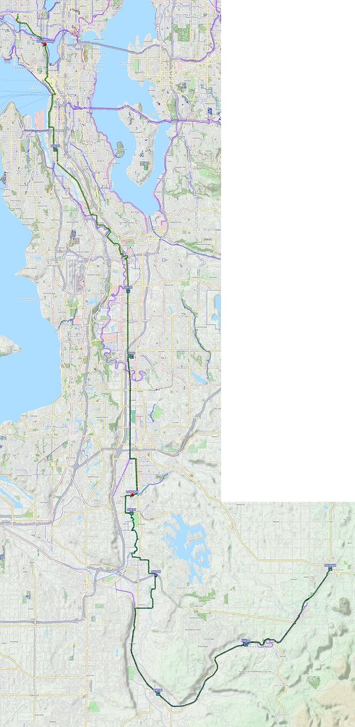
Finally connected my Foothills Loop with the Cedar River Trail.
More after the break…
Part 1: Outbound
As usual, I started at about 05:00. This time, I started heading south through downtown, taking 2nd Avenue.
Nasty headwinds.
— 竹下憲二 (@takeshita_kenji) December 28, 2016
Dropped the chain when climbing up Dexter. Will need to have DKCB take another look at the issue.
— 竹下憲二 (@takeshita_kenji) December 28, 2016
I then followed the Elliot Bay Trail and East Marginal Way to continue past downtown, though I had to wait for a long time at the entrance to the Port of Seattle because trucks wouldn't let me through despite the signal giving me priority.
Try to avoid East Marginal Way when the Port of Seattle is open. #seabikes
— 竹下憲二 (@takeshita_kenji) December 28, 2016
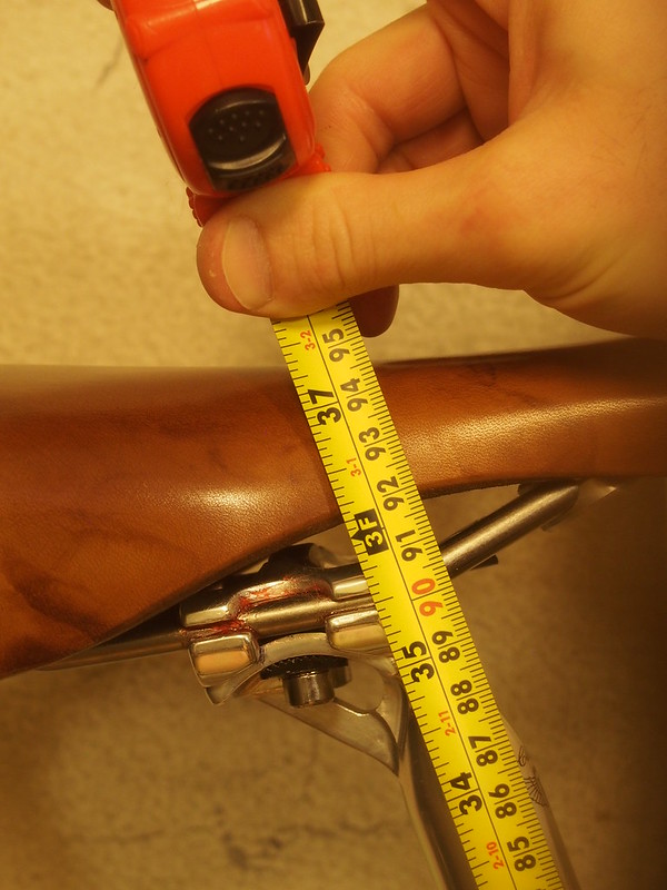
Since this bike has a slack 71.5° seat tube angle, I'm trying a seatpost with a normal 20mm of setback rather than more this time.
— 竹下憲二 (@takeshita_kenji) December 28, 2016
Saddle's all the way back, and I've been raising it bit by bit to make my knees happier. So far, so good.
— 竹下憲二 (@takeshita_kenji) December 28, 2016
I started getting pretty chilled by the time I got to Kent on the Interurban Trail, so I stopped for coffee. I ended up getting something far too strong, which only did me disservice later on.
My fingers are cold. (@ Starbucks in Kent, WA) https://t.co/dGpoBlm2cH
— 竹下憲二 (@takeshita_kenji) December 28, 2016
Partially frozen puddles here and there.
— 竹下憲二 (@takeshita_kenji) December 28, 2016
The park in Sumner I often stop at is closed. I wonder if the Whit River has been flooding.
— 竹下憲二 (@takeshita_kenji) December 28, 2016
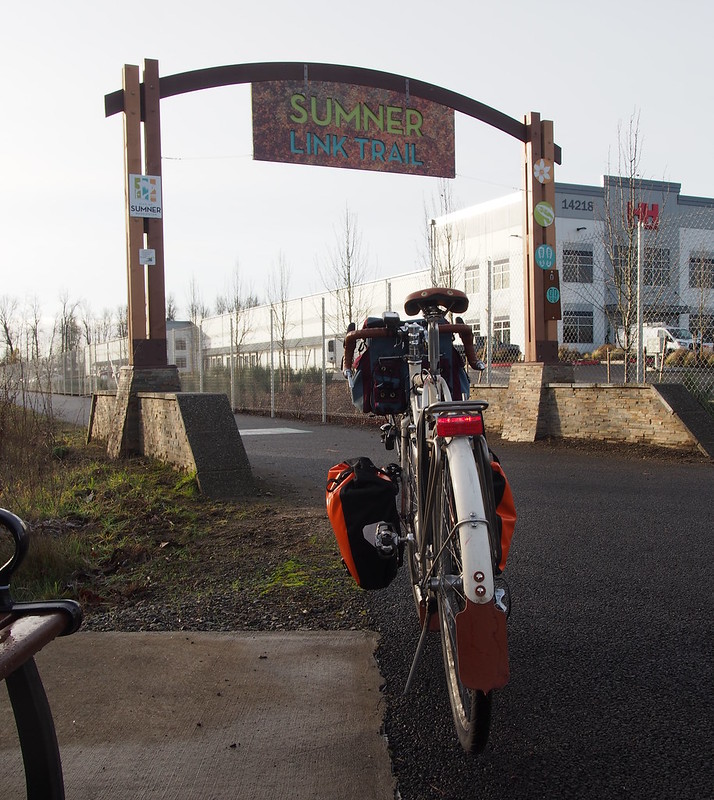
I took the C Street Trail to exit Auburn, then followed side streets to the Sumner Link Trail. There was a guy riding around the adjacent parking lot on a Hummer-badged folding bike who commented on how I was wearing shorts.
I took my alternate route through the eastern edge of Sumner to avoid the busy freeway interchange further west, then got onto the Foothills Trail, which I took all the way to Orting.
Looks like the Trailside Cyclery is closed for the Winter, so I won't get to see Brian again for a few months.
— 竹下憲二 (@takeshita_kenji) December 28, 2016
Definitely overdid the coffee in Kent.
— 竹下憲二 (@takeshita_kenji) December 28, 2016
Worried about how I dropped the chain earlier, I was very careful when climbing up to Buckley, and was rewarded for my effort. Unfortunately, I ran into a worse problem after crossing the White River, and had to walk up the last bit of the hill in the dead leaves.
Despite carefully nudging my chain to the little ring when climbing up from the White River, I still managed to jam the chain in the der.
— 竹下憲二 (@takeshita_kenji) December 28, 2016
Definitely need to get it worked on.
— 竹下憲二 (@takeshita_kenji) December 28, 2016
Since I still wasn't feeling well from the coffee earlier, I stopped at my usual coffee shop/bookstore in Enumclaw in hopes of getting a smoothie. Since they only offer those in the Summer months, I had to settle for an Italian soda instead.
Stomach is still bothering me. (@ The Sequel in Enumclaw, WA) https://t.co/g0C2EsXSdT
— 竹下憲二 (@takeshita_kenji) December 28, 2016
Part 2: Inbound
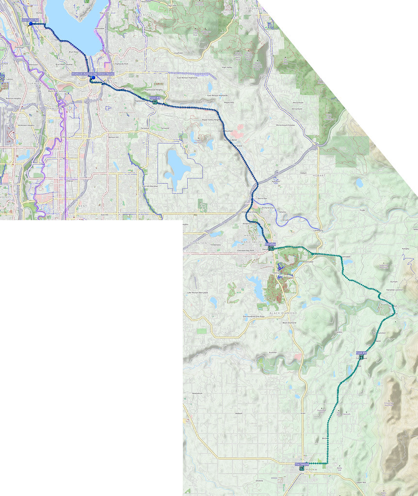
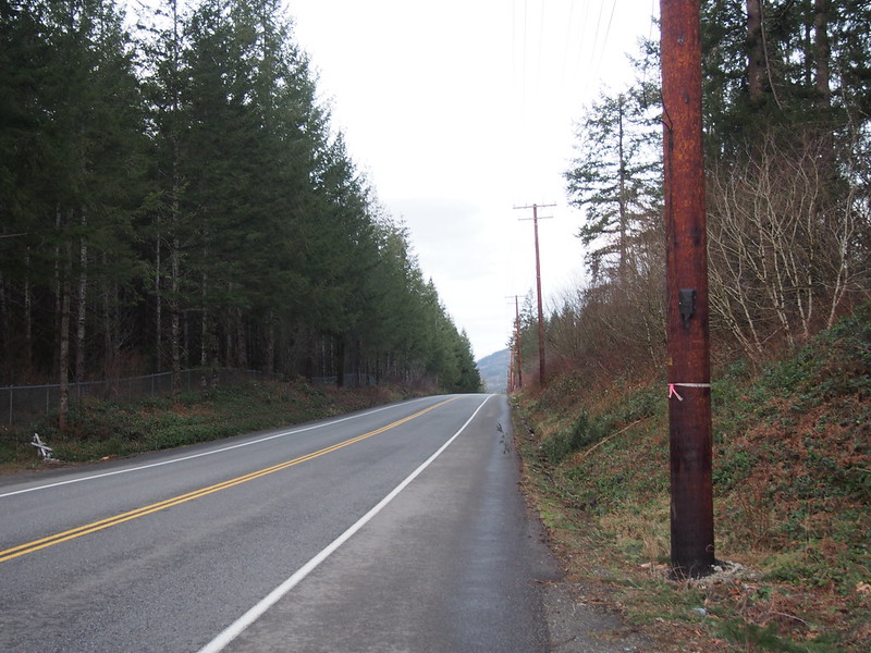
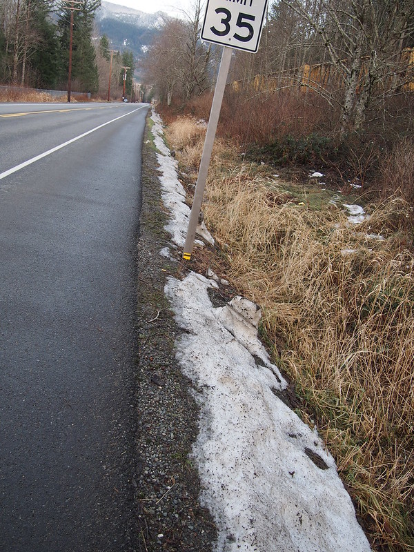
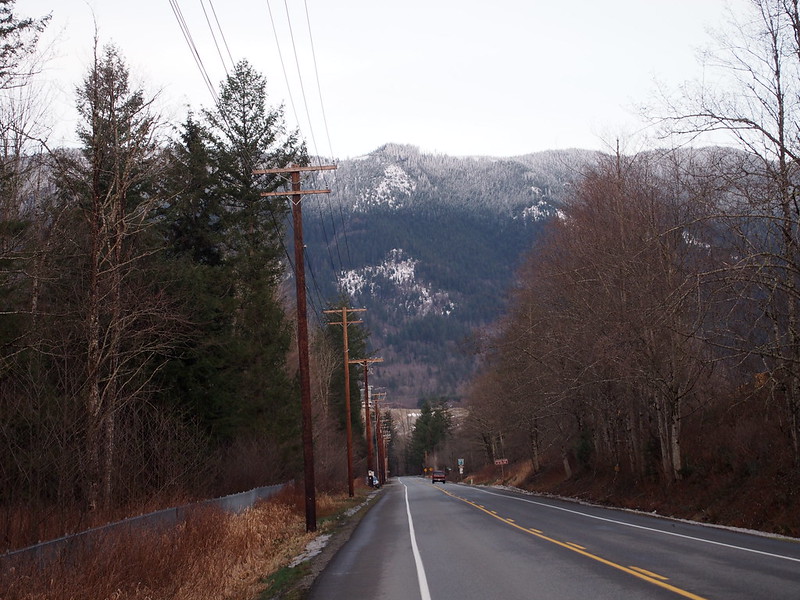
I used my most easterly route option to exit Enumclaw, passing through Veazie and Cumberland, and later passing by Kanaskat-Palmer State Park. Out there, I started seeing snow both on the sides of the roads and on top of mountains.
Heading east eventually brought me to Maple Valley, where I stopped for coffee since it was dark and getting colder. I also took the chance indoors to add another sweater to my layers.
The coffee's out of my system, so I can get a kick with a mocha. (@ city perk espresso in Maple Valley, WA) https://t.co/xPe2p76gB6
— 竹下憲二 (@takeshita_kenji) December 29, 2016
When I left the shop, it was quite dark, so I had to be careful going along the unpaved Lake Wilderness Trail, as there were folks walking their dogs and so on. I also had to be very careful approaching the Cedar River Trail, as there's a steep drop right before it.
I'll be riding away from car traffic from here to Renton.
— 竹下憲二 (@takeshita_kenji) December 29, 2016
Will probably take Link to the BGT to get home. This was pretty ambitious considering I have to retrain my legs.
— 竹下憲二 (@takeshita_kenji) December 29, 2016
The Cedar River Trail was largely empty, though, so I went at a faster yet sustainable speed.
When I got to Renton, I wasn't quite sure about how to get to the airport beyond needing to be on Shattuck Avenue. My map showed the road cutting straight through what was actually a schoolground, so I had to go out and back to get to the road.
Renton Municipal Airport has done some renovations to its property.
— 竹下憲二 (@takeshita_kenji) December 29, 2016
Once at the airport, I just followed the Lake Washington Loop route all the way to Rainier Beach, then headed up the hill to the light rail station. What puzzled me upon my arrival was the helicopter and police cars, but apparently I'd just arrived after a car crash a block away that cut light rail service for a while.
Car crash is blocking one of the tracks. (@ Rainier Beach LINK Station - @soundtransit in Seattle, WA) https://t.co/RkNa5NhnnU
— 竹下憲二 (@takeshita_kenji) December 29, 2016
I had to wait for 20-30 minutes for a northbound train to show up after two southbound trains went along the northbound tracks (the other side of the road was closed).
That was quite a wait for a northbound train!
— 竹下憲二 (@takeshita_kenji) December 29, 2016
Part 3: Return Home
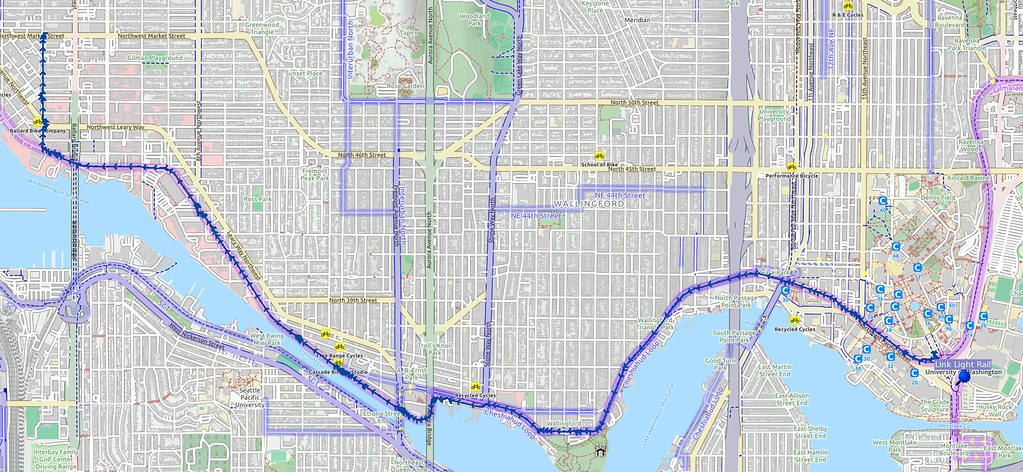
Once at the light rail station in the University District, I simply took the Burke–Gilman Trail all the way home.
Taking the train to avoid Seattle was the right decision, even though I had to wait out in the cold without any sign of a train coming.
— 竹下憲二 (@takeshita_kenji) December 29, 2016
With the saddle higher like this, I feel my hamstrings and glutes doing more of the work. My kneecaps feel odd, but that's adjustment.
— 竹下憲二 (@takeshita_kenji) December 29, 2016
No comments:
Post a Comment