Managed to barely avoid rain while trying to figure out what my right knee really wants.
Related albums:
The weather's been pretty bad up here, so I was glad to finally get a chance at a proper ride, and a chance to narrow down what my legs want.
More after the break…
Part 1: To Landsburg
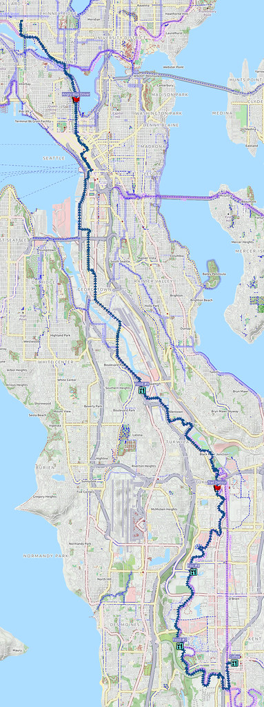
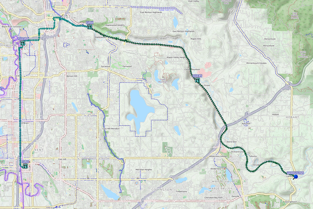
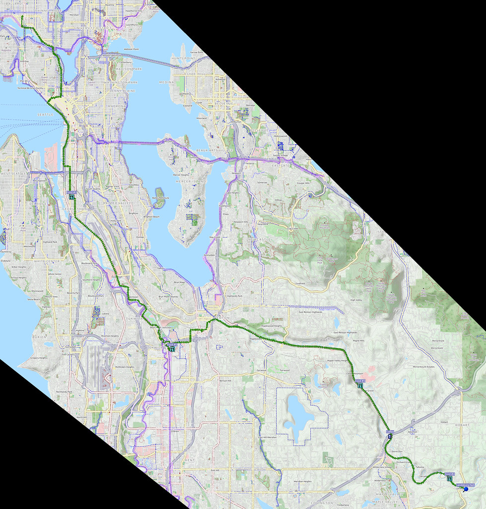
I started at about 05:00 and headed south through downtown. There wasn't much rain at that point, so I simply took the usual route.
Weather's okay so far…
— 竹下憲二 (@takeshita_kenji) November 19, 2016
Popped in a cleat shim to see if it'll give my temperamental right knee what it wants.
— 竹下憲二 (@takeshita_kenji) November 19, 2016
Need to put more thread locker into my Rivendell friction shifters.
— 竹下憲二 (@takeshita_kenji) November 19, 2016
@FunkyStickman I've been using purple since I don't look forward to undoing blue with the D-ring. The bolts don't have a slotted head.
— 竹下憲二 (@takeshita_kenji) November 19, 2016
@FunkyStickman Rivendell's shifters are very nice, but they did cut corners that the companies of old didn't.
— 竹下憲二 (@takeshita_kenji) November 19, 2016
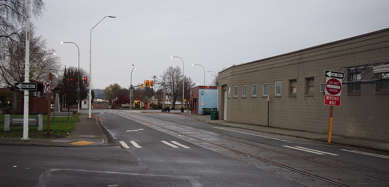
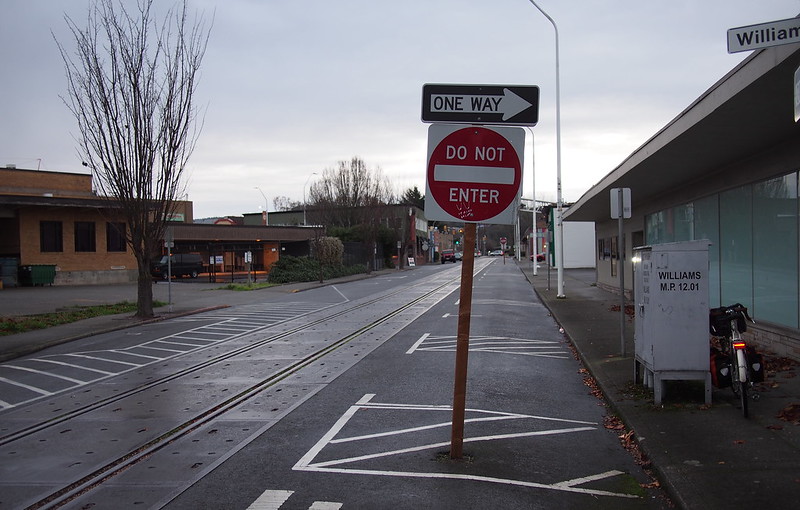
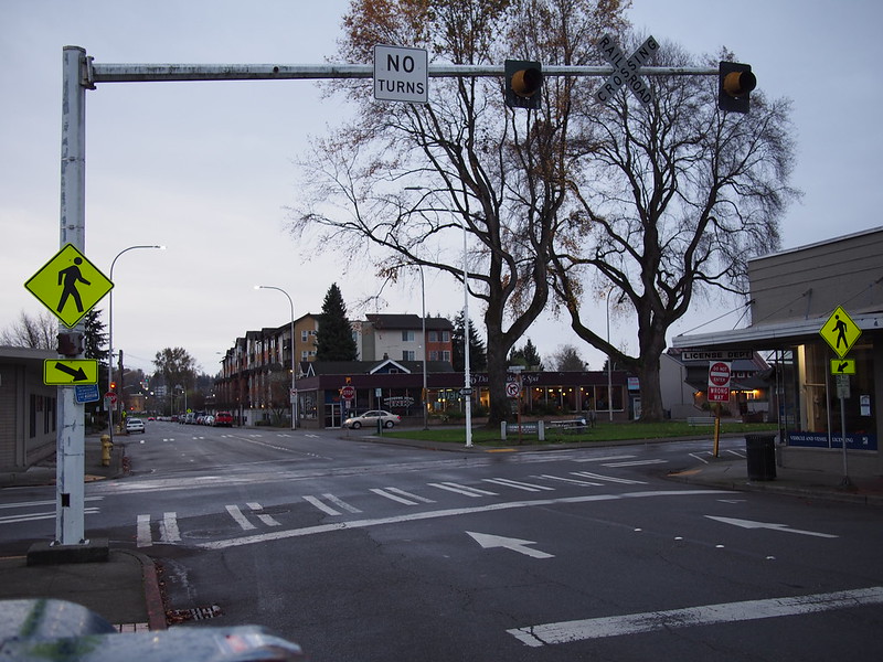
I got onto the Green River Trail in Tukwila, then got off it at the train station, and went through downtown Renton to get to the Cedar River Trail. The route I chose took me along Houser Way, which is a weird mix of alternating one-way bits and a railroad line.
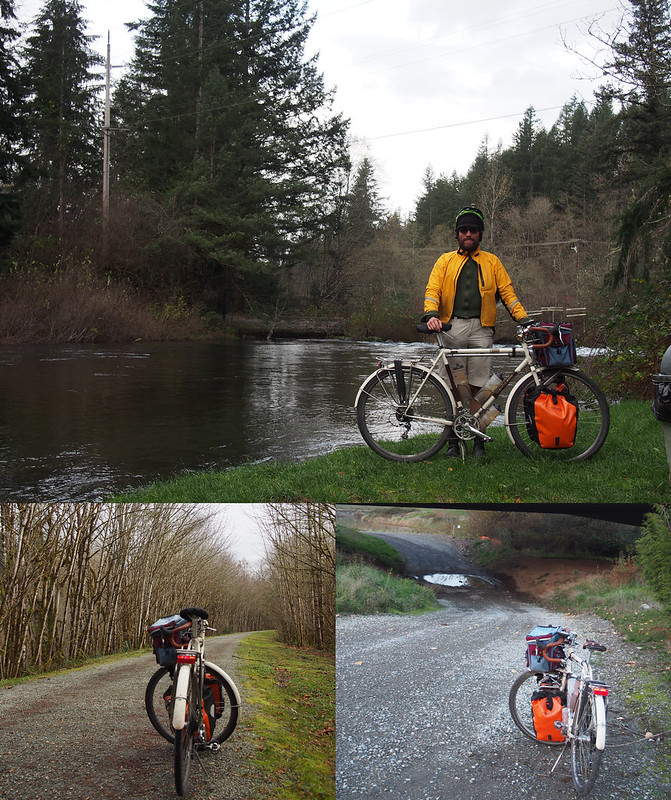
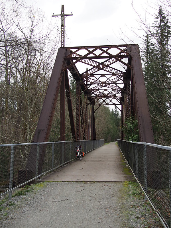
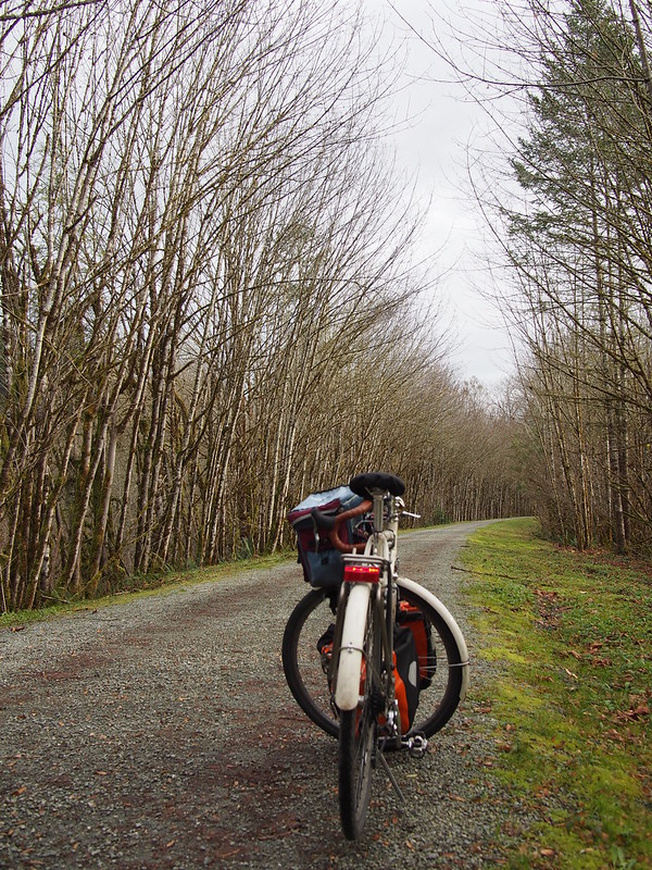
Once on the trail, I proceeded along it all the way to the end of pavement, but stopped for a bit to get some coffee before continuing on the gravel.
Even though I had narrower tires than my first time out here, I had an easier time because of the different geometry and loading.
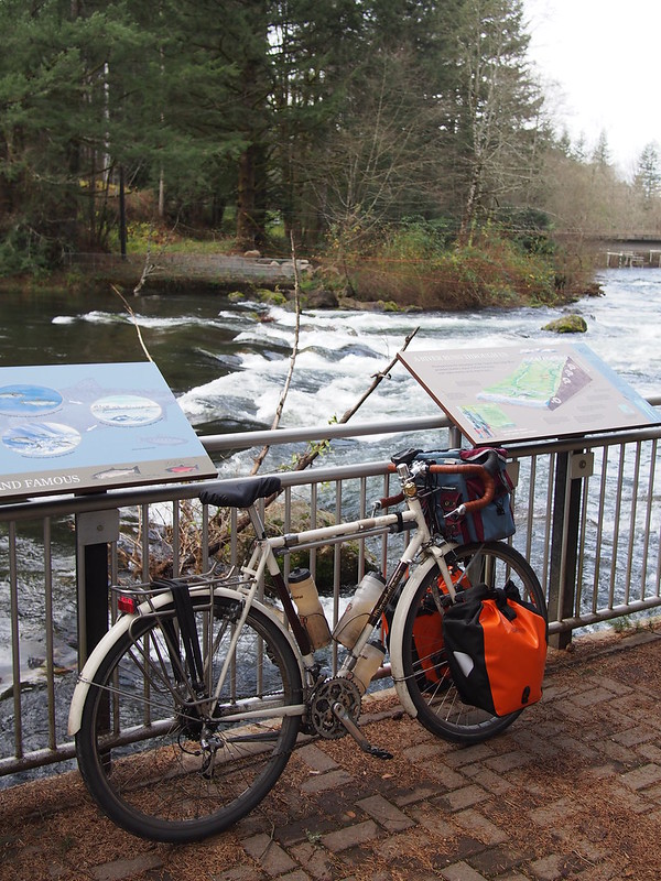
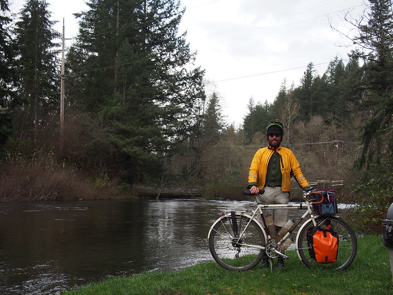
Once I got to Landsburg, I meandered around a little before turning back.
Part 2: Landsburg to Kent
The ride back was a bit easier because of the downhill grade, but I still was dealing with knee issues.
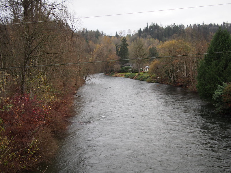
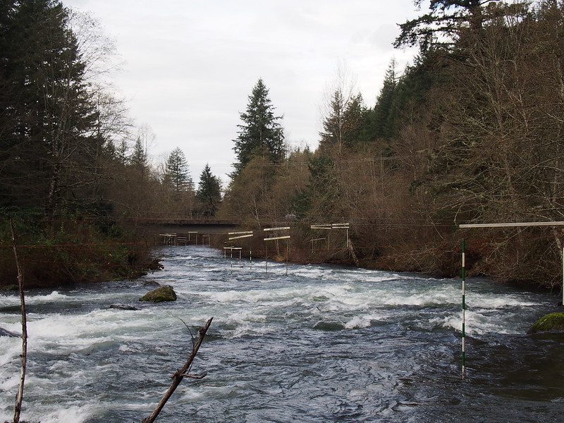
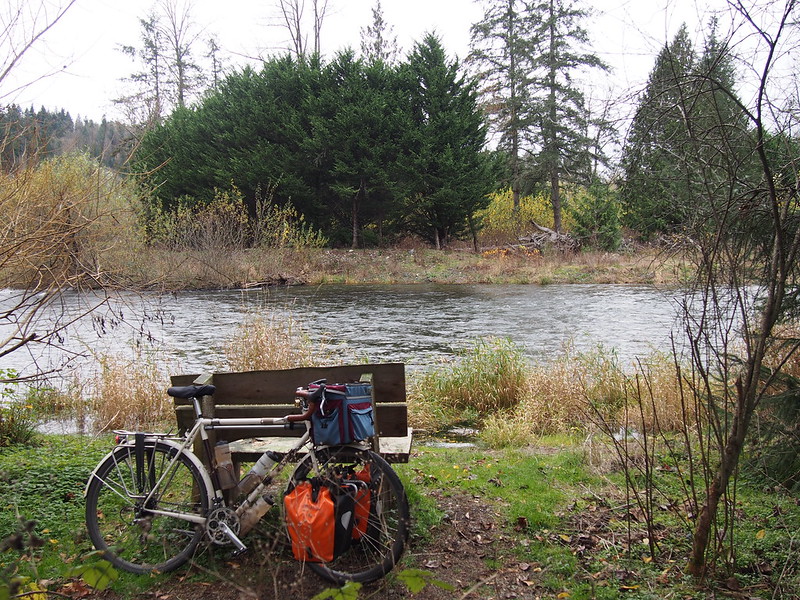
Apparently, the Cedar River itself is off limits due to a logjam.
— 竹下憲二 (@takeshita_kenji) November 19, 2016
When I got to Maplewood, I checked the weather and got some coffee. The weather suggested that I shouldn't spend too much more time out…
Probably going to head home. There are squalls headed over the next planned leg of my ride.
— 竹下憲二 (@takeshita_kenji) November 19, 2016
When I was moving my bike to the park to get out of the rain, I found a phone on the grass. Turns out it belonged to one of the baristas.
— 竹下憲二 (@takeshita_kenji) November 19, 2016
…But when I got to Tukwila, it was only partly cloudy in the Green River Valley, so I just went back to my route.
The Doppler radar shoes a lot of the earlier stuff having disappeared, so I'll go ahead with my original plan after all.
— 竹下憲二 (@takeshita_kenji) November 19, 2016
Kent's been working on putting another access point to the Interurban Trail in, which is nice for folks who work in the factories and warehouses in the area.
Right leg: 170mm crank, 4mm clear shim. Left leg: 175mm crank, cleat back. Neither knee is significantly unhappy. #cycling
— 竹下憲二 (@takeshita_kenji) November 19, 2016
I stopped one last time for water when I got to Kent, adding some coffee onto the order as well.
I'm at Starbucks in Kent, WA https://t.co/6eSQ3ApG9v
— 竹下憲二 (@takeshita_kenji) November 19, 2016
Part 3: Return Home
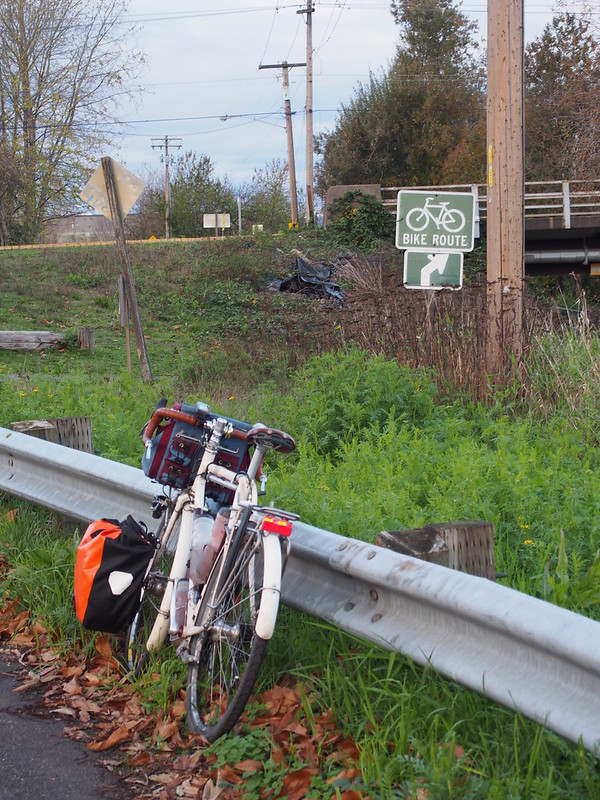
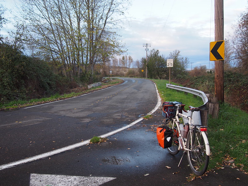
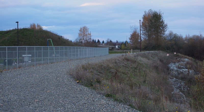
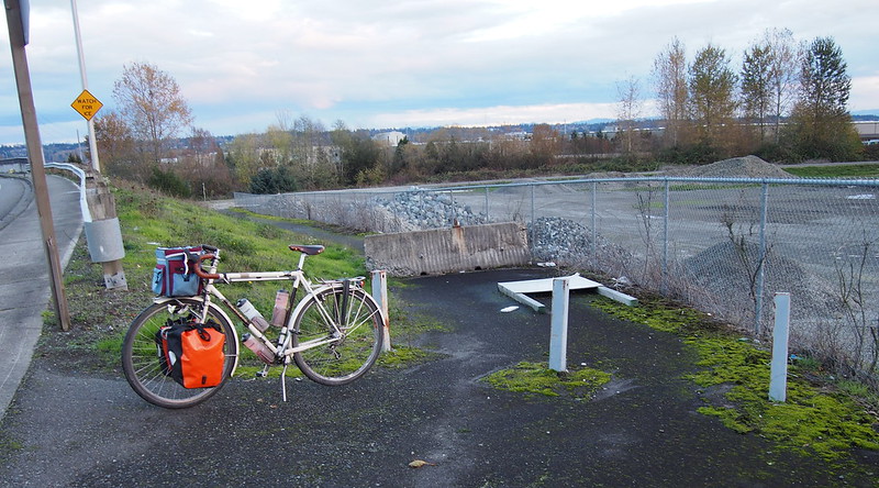
To head home, I went south to the Green River Trail, went along it for a short while, then jumped over to Frager Road. When I reached the current end of it, however, I went past it.
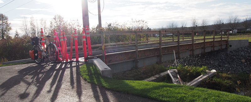
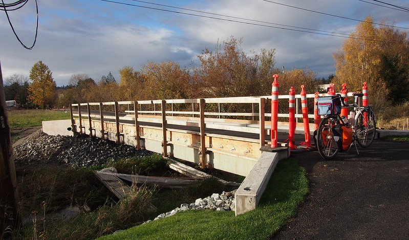
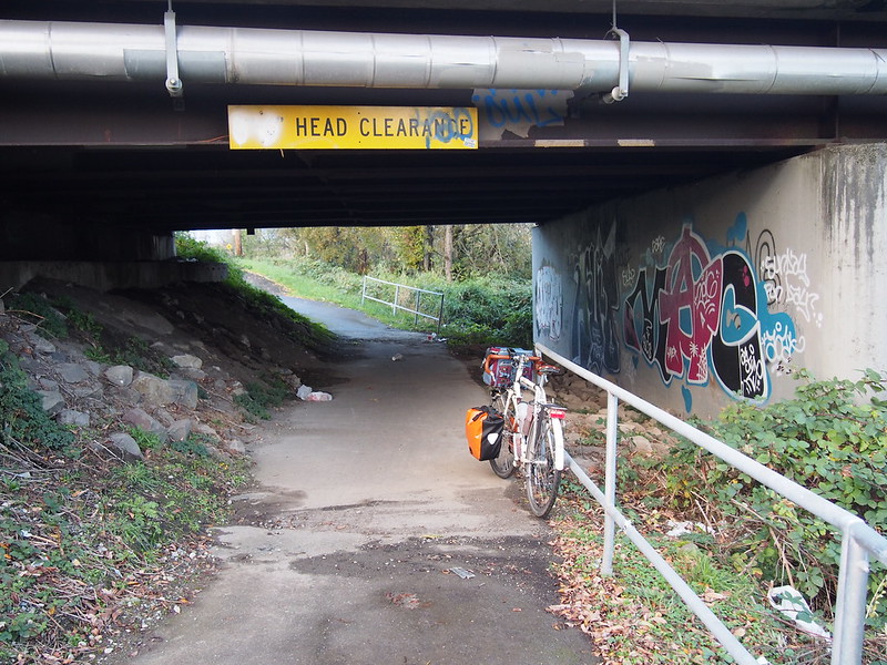
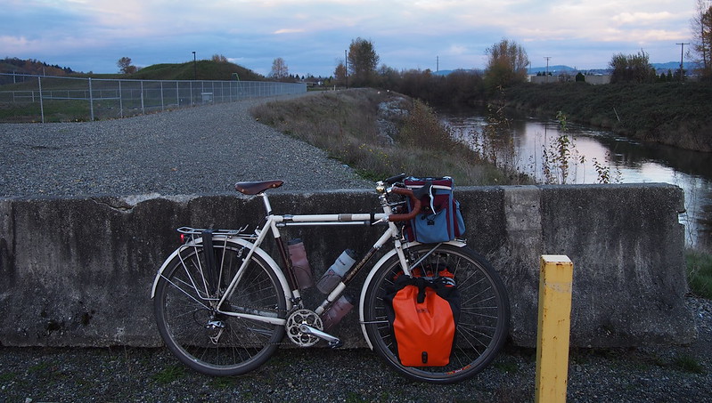
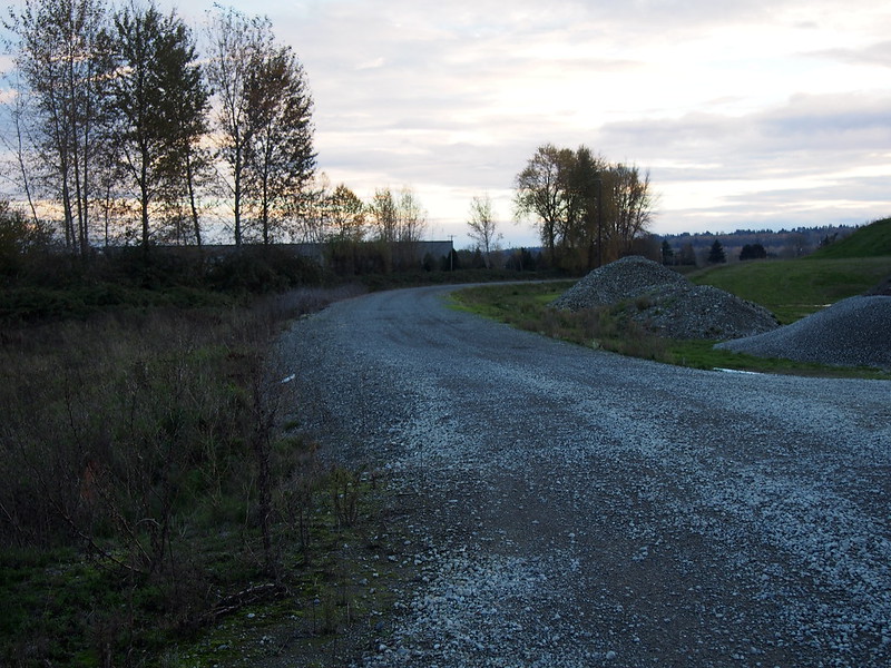
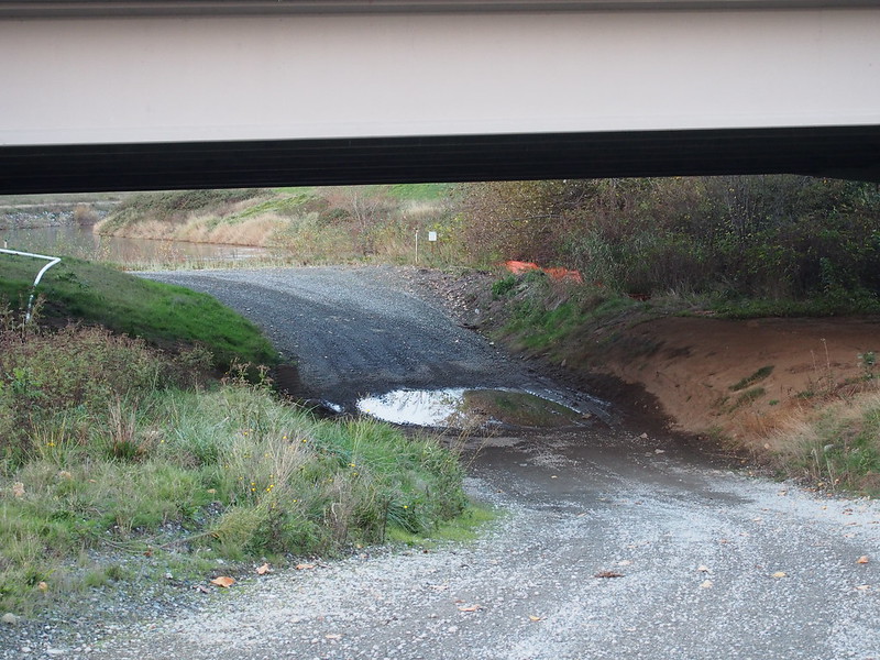
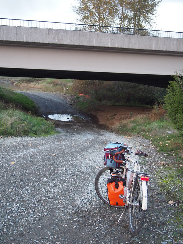
This eventually brought me to a gravel road that continued to the next bridge over the Green River.
I also saw bicycle access points from the bridge, which led me to this conclusion:
Seems like the Frager Road route used to go on farther, but the levee and bridge construction truncated it. #seabikes
— 竹下憲二 (@takeshita_kenji) November 20, 2016
Comments on the Flickr photos seem to indicate that my conclusion was indeed correct. That definitely explains why some maps show the path continuing to Southcenter Way!
I then got back on the Green River Trail at the trailhead across the bridge, and continued north to Seattle.
I'm at Three Friends Fishing Hole in Kent, WA https://t.co/vGKsnq3xpR
— 竹下憲二 (@takeshita_kenji) November 20, 2016
Woo, Seattle city limits. (@ Cecil moses memorial park in Tukwila, WA) https://t.co/KhxXBdUYtm
— 竹下憲二 (@takeshita_kenji) November 20, 2016
Actually saw a locomotive running on the tracks besidd E Marginal Way.
— 竹下憲二 (@takeshita_kenji) November 20, 2016
When I rode through Pioneer Square, I saw a familiar face ride by.
Max Kullaway (333Fab) greeted me as I rode by the group of cyclists he was riding with in Pioneer Square.
— 竹下憲二 (@takeshita_kenji) November 20, 2016
However, I had a less-than-pleasant experience when climbing up a familiar hill whose bike lanes have been blocked by fences for months.
A @kcmetrobus driver yelled at me when I didn't ride in the former bike lane that is now a sidewalk for pedestrians on Dexter. #seabikes
— 竹下憲二 (@takeshita_kenji) November 20, 2016
I guess the big orange barricades and "BIKES MERGE WITH TRAFFIC" signs aren't obvious enough for some people. #seabikes
— 竹下憲二 (@takeshita_kenji) November 20, 2016
Maybe @seattledot needs to work with @kcmetrobus on this. @seabikeblog
— 竹下憲二 (@takeshita_kenji) November 20, 2016
Some passing pedestrians managed to fix my mood, and I put it out of my mind for the rest of the ride.
A guy in a group of folks walking by told me a sort of "passing joke," and that cleared up the bad vibes.
— 竹下憲二 (@takeshita_kenji) November 20, 2016
I got home somewhat late for the distance, but that's pretty much guaranteed considering the fit issues I'd been fighting, and all the adjustments I'd been attempted.
I'm thankful that I didn't end up seeing any real rain. Turning back early would've sent me right through it!
— 竹下憲二 (@takeshita_kenji) November 20, 2016
It started raining shortly before I went to bed last night, so I guessed I lucked out yesterday.
— 竹下憲二 (@takeshita_kenji) November 20, 2016
In the end, I still didn't quite get it right. I went to one of the best bicycle fitters in the city, going in with the knowledge that my legs are asymmetrical, and he was able to get it a lot closer than I ever was. In short: my saddle was far too low.
No comments:
Post a Comment