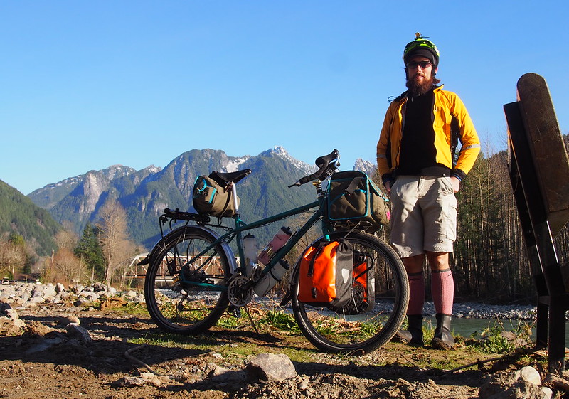
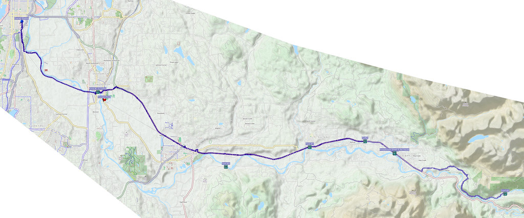
On a chilly morning only a week after two major storms and floods, I headed into the Skykomish River Valley. In the end, my only problem was the saddle position, which was too low and far back.
Related albums:
More after the break…
Part 1: To Bus
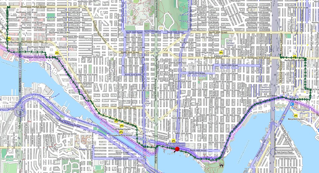
I started at about 05:15 and headed east to the NE 45th St freeway station to catch the first ST 510. I had to stop to adjust my bags along the way, as something was making an odd noise. The adjustment removed it.
Taking the bus north from here because traffic should be rather light on US 2 with the closure.
— 竹下憲二 (@takeshita_kenji) November 21, 2015
I can feel the road with these tires at 45 psi, so that's probably the practical limit for them. They sure are fast, though!
— 竹下憲二 (@takeshita_kenji) November 21, 2015
I'm going as fast as I'd be going with 700×35C tires, but with 26" wheels! #cycling
— 竹下憲二 (@takeshita_kenji) November 21, 2015
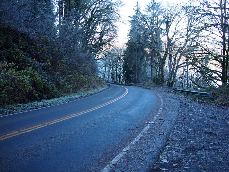
Seeing lots of frosty windows up here, but I'm bundled up pretty well so I'm not worried.
— 竹下憲二 (@takeshita_kenji) November 21, 2015
Part 2: Outbound
Once in Everett, I ate some food in the station because it was still rather cold out. It wasn't fun spending much time in there at that hour, though, as there were guys doing some sort of injection drug in the bathroom.
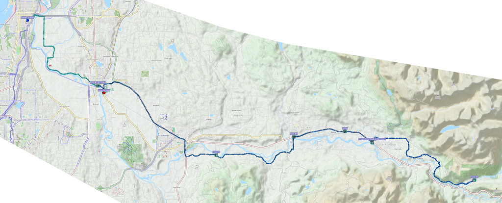
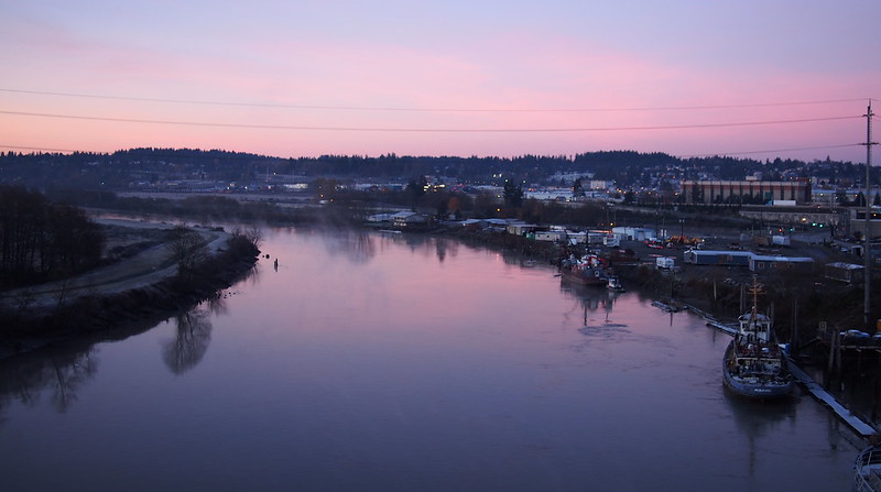
Once out of the station, I headed over to the trail across the US 2 bridge.
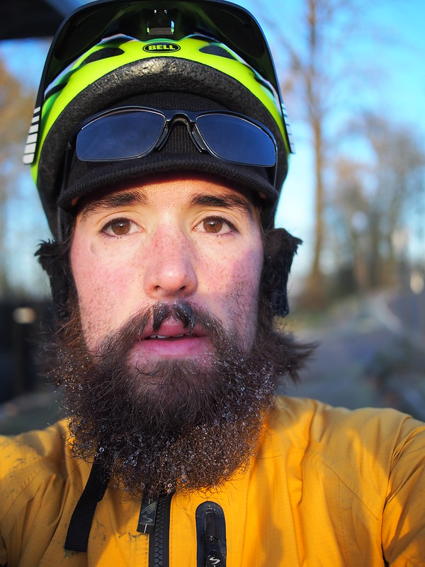
And then followed the roads along the northern side of the Snohomish River. It was rather cold, and I ended up with a case of frostbeard.
— 竹下憲二 (@takeshita_kenji) November 21, 2015
And then I stopped at the (now) Proper Joe Coffeehouse for some water and coffee.
Now called "Proper Joe Coffeehouse." (@ Rock City Cafe in Snohomish, WA) https://t.co/A2uHDZKR9q
— 竹下憲二 (@takeshita_kenji) November 21, 2015
Already had to put on the lobster claw gloves. Shoe covers are on now, too.
— 竹下憲二 (@takeshita_kenji) November 21, 2015
The Rock City Cafe's former owner now runs this place: https://t.co/IVFPvXyoWE
— 竹下憲二 (@takeshita_kenji) November 21, 2015
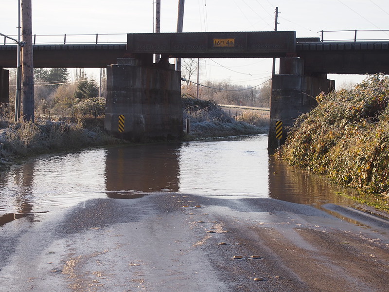
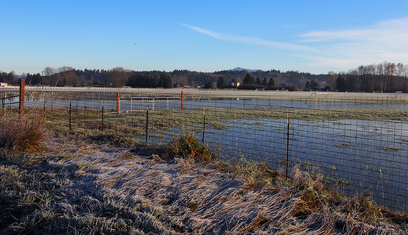
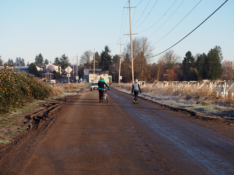
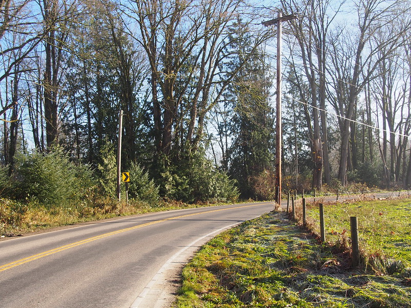
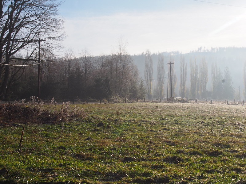
After leaving, I headed out along the old road toward Monroe…which was flooded.
So I turned around and headed toward US 2.
Normal route between Snohomish and Monroe was flooded. Had to take US 2 instead. Ran into other cyclists who did the same. #cycling
— 竹下憲二 (@takeshita_kenji) November 21, 2015
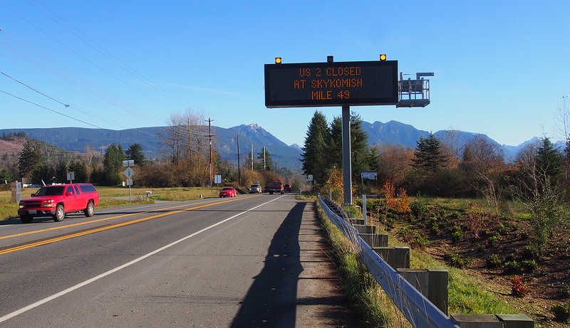
US 2 was on a berm, so it wasn't impacted by any flooding. There was a nice shoulder the whole way, too!
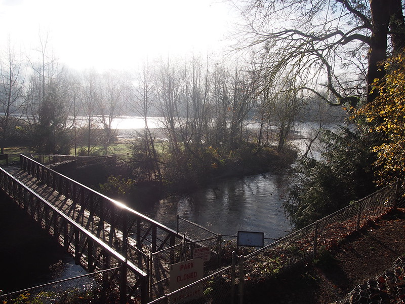
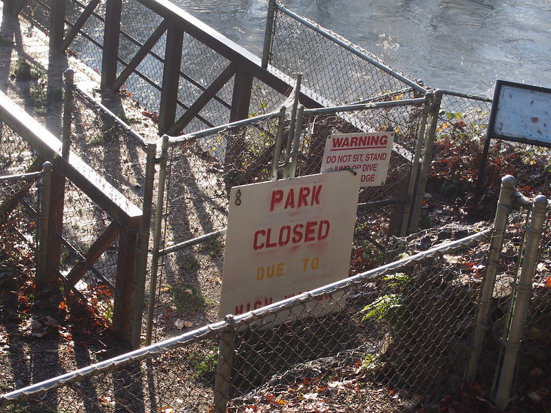
Once in Monroe, I stopped by the park by where SR-203 crosses the Snoqualmie River to use the restroom. Those cyclists from earlier ended up rolling in after I'd taken care of business, despite the fact they left Snohomish before me.
As it turns out, they were on a brevet that had started in Arlington and was ending in Issaquah. I was worried that the farm roads (the calmest route) would be flooded, but they said they were using the western edge of the valley, whose roads are higher up.
Ran into those cyclists again at a park in Monroe. They're on a 200km brevet.
— 竹下憲二 (@takeshita_kenji) November 21, 2015
After crossing the bridge, I had the sheer luck of being able to make the left onto Ben Howard Road without having to go past it, turn around in a driveway, and make a right turn instead. I barely made it, too!
The road was fairly easy and calm for a while, but then I ended up nearly bottoming out up a steep hill.
Was too scared to climb the first steep hill on Ben Howard Rd out of the saddle, but ran out of gears in saddle.
— 竹下憲二 (@takeshita_kenji) November 21, 2015
Ran and pushed the bike the last 50 feet. Need to work on confidence. #cycling
— 竹下憲二 (@takeshita_kenji) November 21, 2015
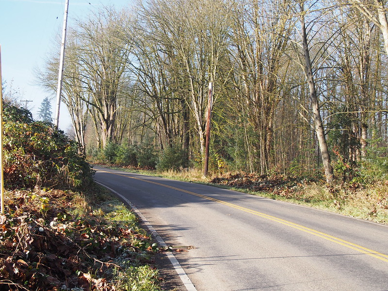
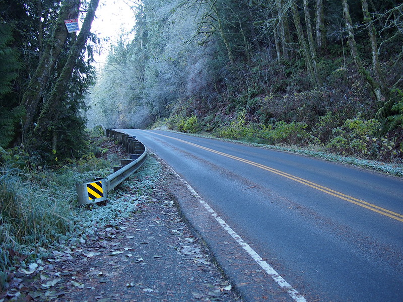
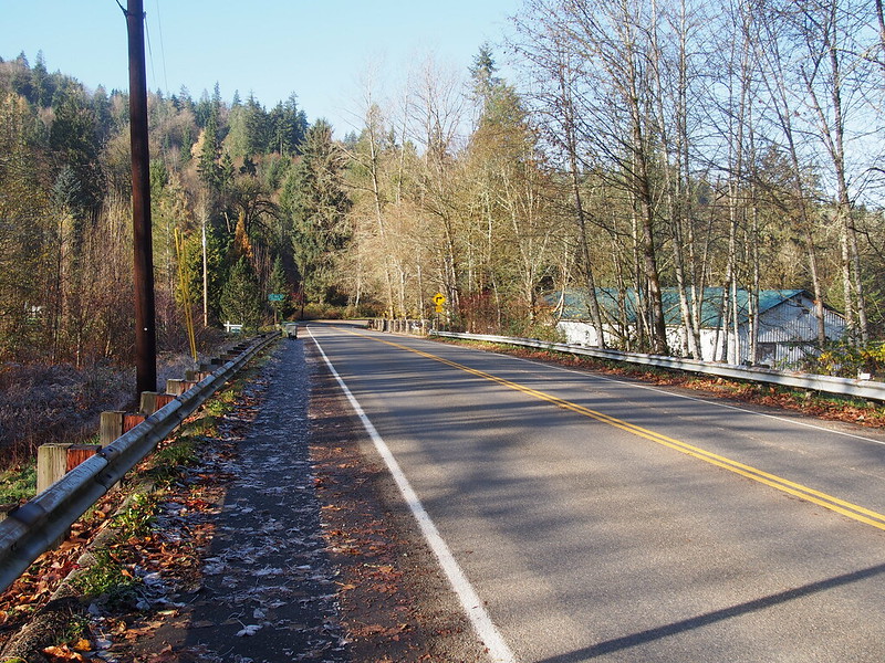
After going down a long, steep descent, the road just followed the edge of the valley. It was a definite improvement over US 2, with very little traffic. However, the road was "CLOSED TO THRU TRAFFIC" at the end in Sultan, so I'm guessing that was the cause of the lack of traffic.
Lots of PUD crews restringing power lines out there.
— 竹下憲二 (@takeshita_kenji) November 21, 2015
When I got to Sultan, I continued along US 2.
I took it through Startup.
But then stopped in Gold Bar.
The people up here are pretty cool! (@ Prospectors Steak And Ale House in Gold Bar, WA) https://t.co/kQbv2SAgy3
— 竹下憲二 (@takeshita_kenji) November 21, 2015
At the restaurant, I heard stories about past events involving locals and disasters. I also learned that the Spada Lake reservoir was partially released during the floods to prevent damage, which caused the flooding at and below Startup, including the flooded roads from earlier on my ride. Something brought up a number of times was the dangerous intersection that provides Index access to US 2: a lot of folks would try to jump quickly into traffic when doing a right turn in bad conditions, only to end up in a ditch adjacent to the highway. They had to get hauled out by locals with tow hitches.
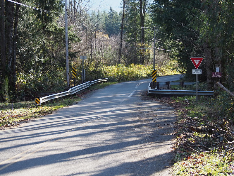
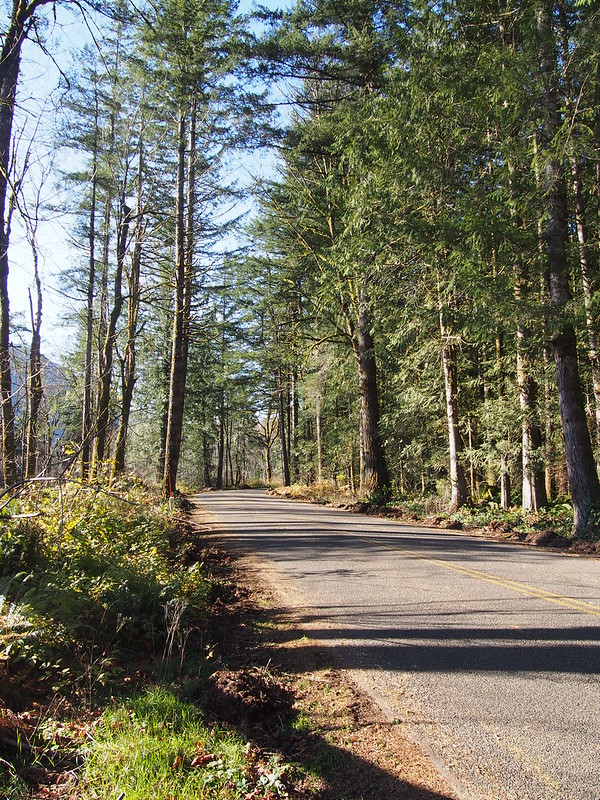
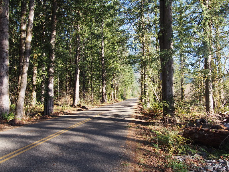
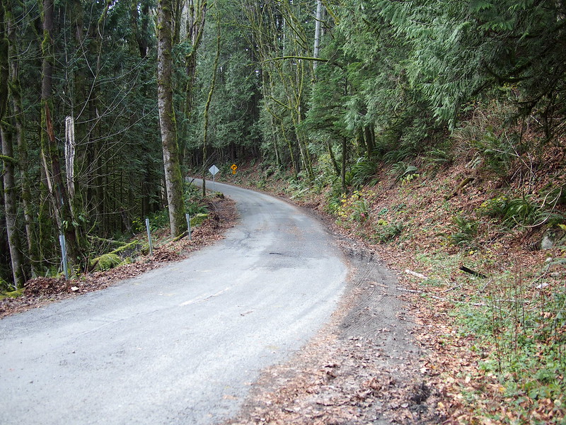
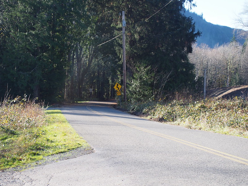
Once done at the restaurant, I left the highway corridor and headed along May Creek Road.
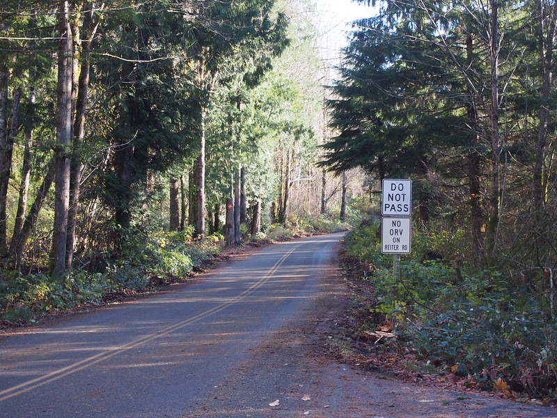
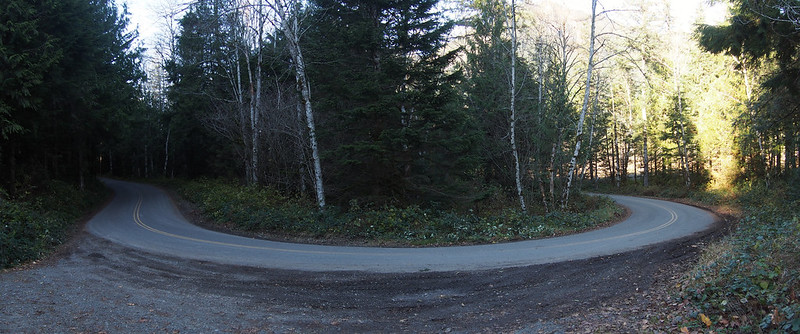
Then I made a left onto Reiter Road itself, which involved a lot of climbing. The climbing was really hard until I thought to scoot up on the saddle by at least an inch. With that, I'm going to talk to the guy who fit it so he can get the seat a little higher and further forward.
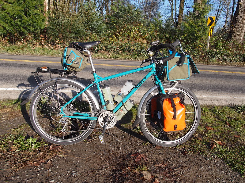
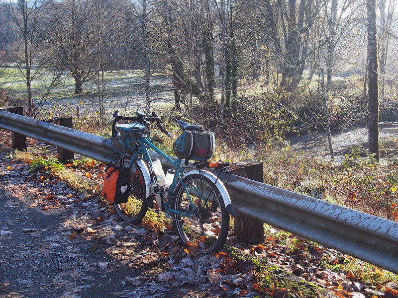
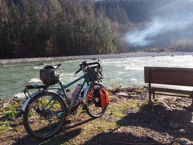
My Troll was VERY hard to bring up hills…until I sat on the nose of the saddle while pedaling. Will visit the guy who fit it.
— 竹下憲二 (@takeshita_kenji) November 21, 2015
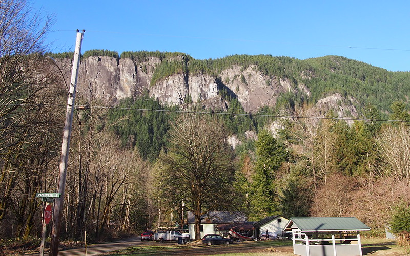
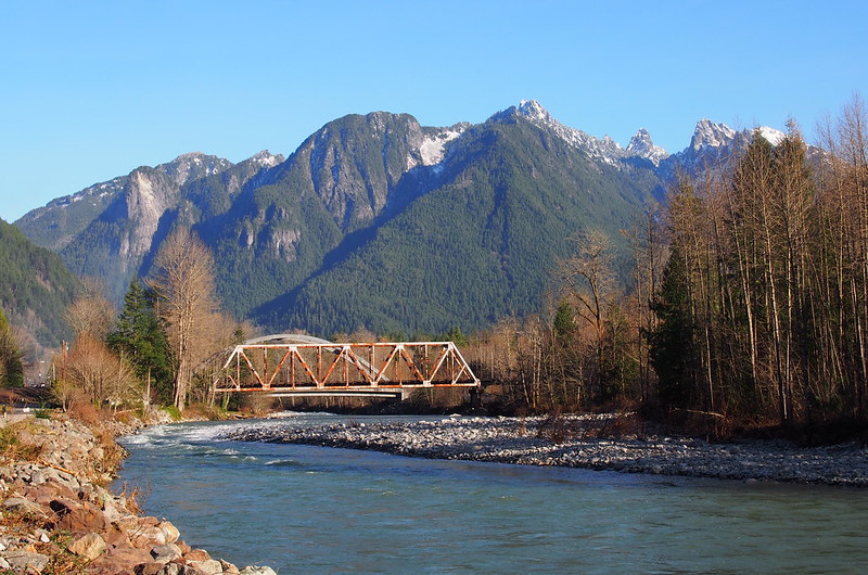
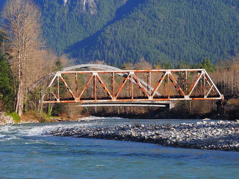
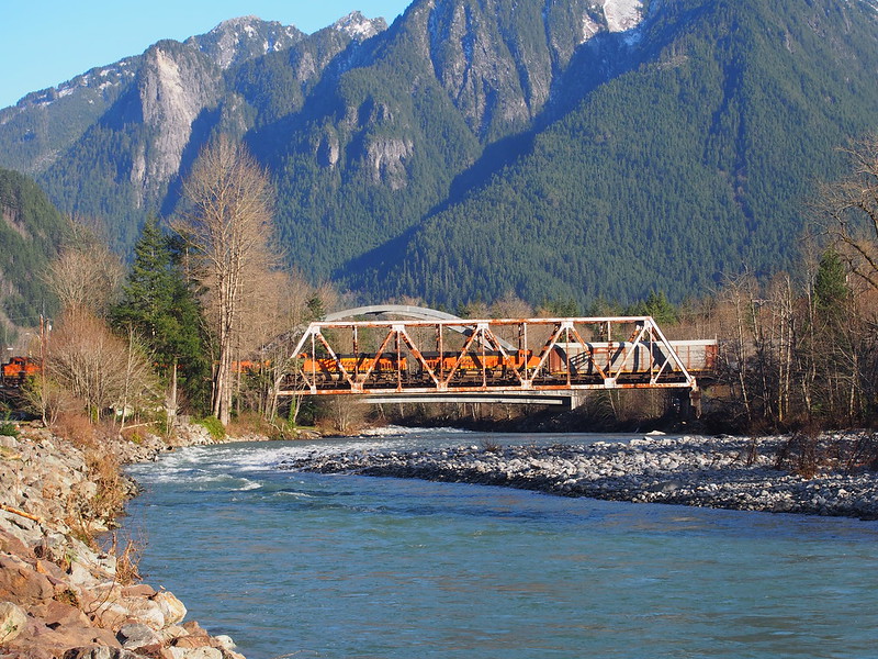
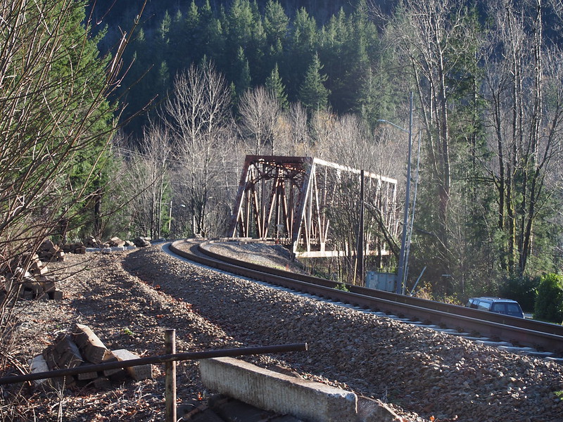
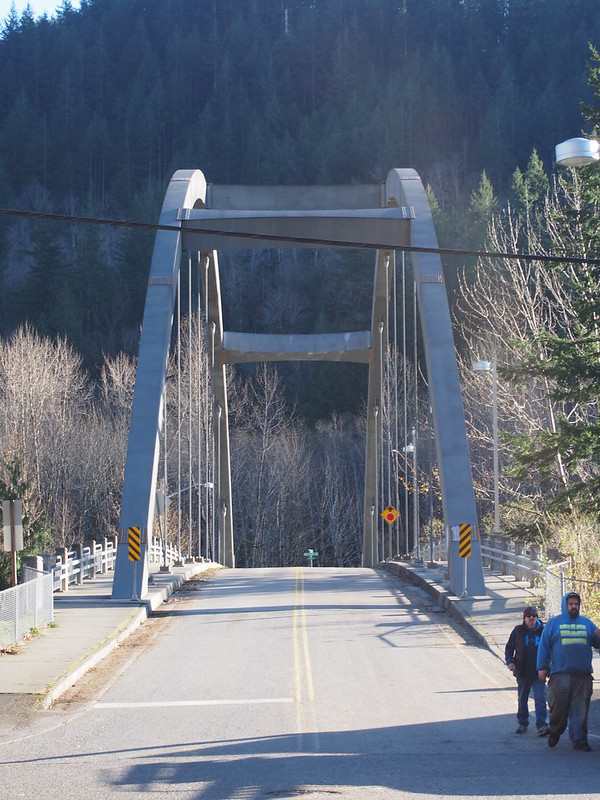
Shortly after crossing the BNSF mainline, I finally ended up in Index.
And a BNSF train passed through while I was there.
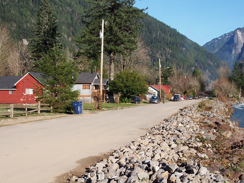
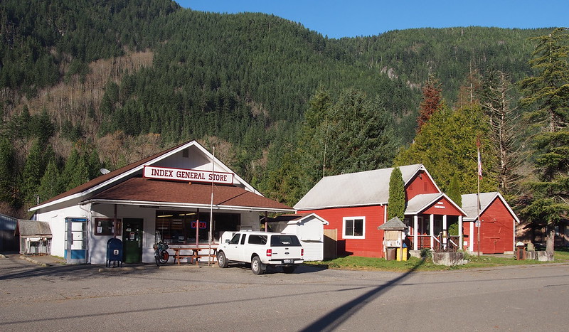
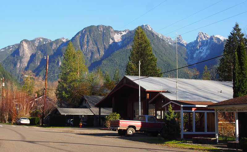
After the train had passed, I went into 'downtown' (whatever that means here).
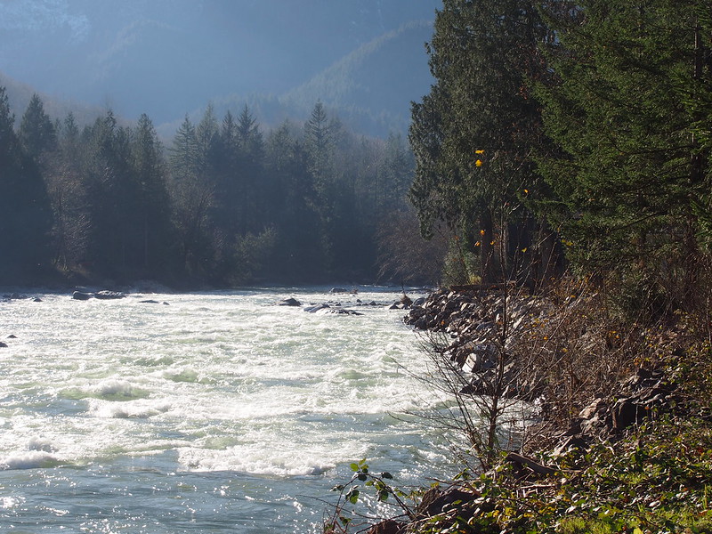
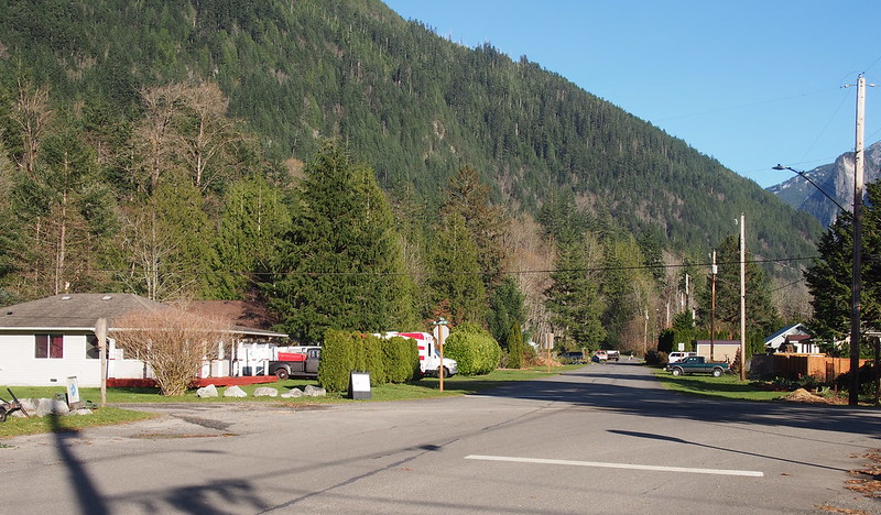
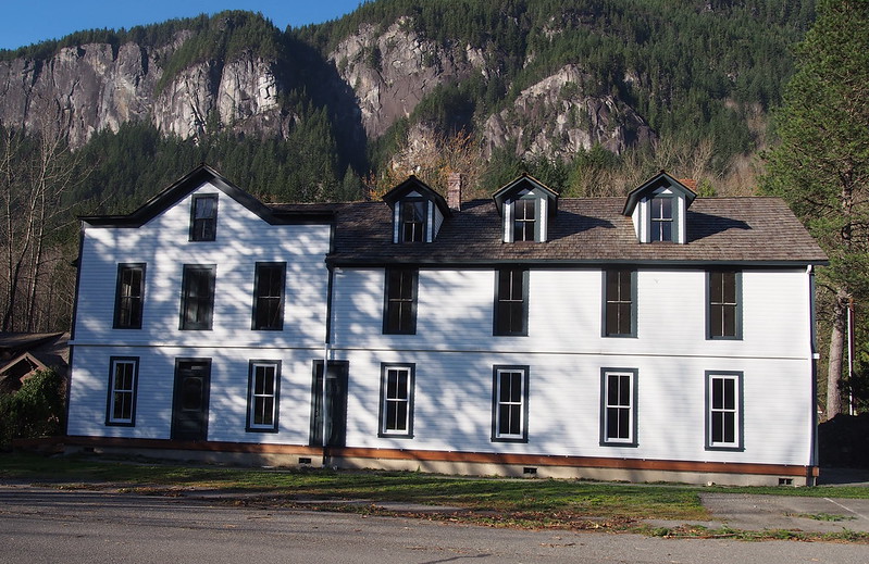
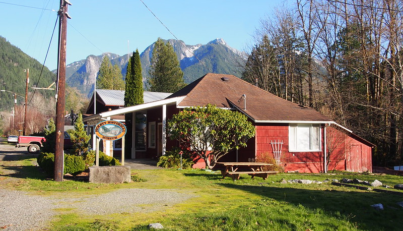
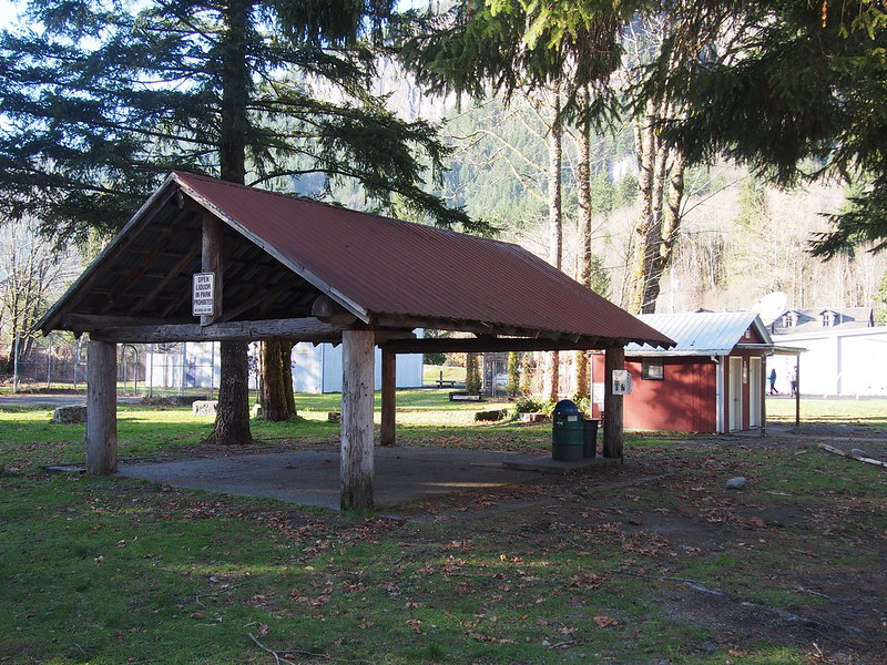
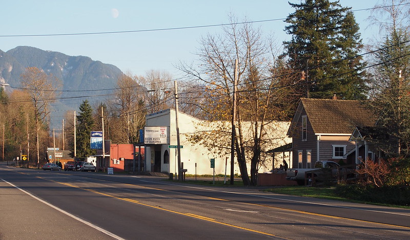
Index is a nice little town.
— 竹下憲二 (@takeshita_kenji) November 21, 2015
Part 3: Inbound
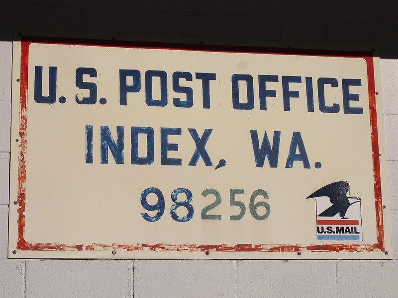
After drinking a Powerade from the general store/post office, I headed back the way I came. It was a lot easier this way, as I knew to scoot up on the saddle!
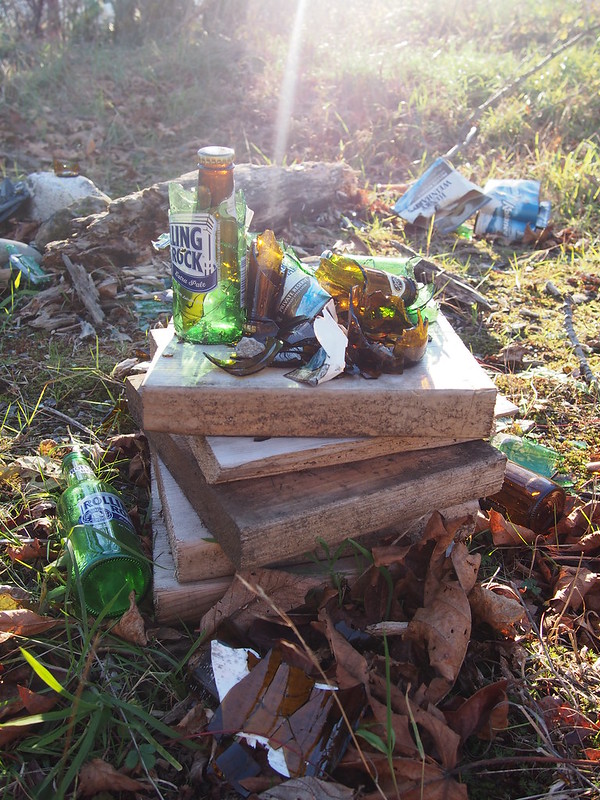
While stopping at a meadow on Reiter Road, I came across some broken beer bottles at what was obviously a place for hanging out.
Shortly after where I got onto Reiter Road from May Creek Road, there was a fast descent to US 2. On it, I had to do an emergency stop due to poor road design.
I was riding down a long descent when the road's shoulder 'magically' vanished, with cars to my left! TRP Spyres had no trouble stopping.
— 竹下憲二 (@takeshita_kenji) November 22, 2015
Shoulders that do that really grind my gears.
— 竹下憲二 (@takeshita_kenji) November 22, 2015
Once on the highway, I had a continuous shoulder, but had to contend with flood debris. Thankfully, the 2.15" tires didn't care.
There was flood debris EVERYWHERE! I definitely took the right bike.
— 竹下憲二 (@takeshita_kenji) November 22, 2015
I passed through Gold Bar and Startup, heading down the highway.
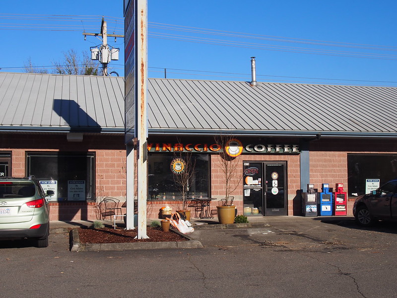
Once back in Sultan, I stopped at the coffee shop from earlier, which was pretty cool.
This place would work very well in Seattle! (@ Vinaccio Coffee in Sultan, WA) https://t.co/tFodpaCS5H
— 竹下憲二 (@takeshita_kenji) November 21, 2015
After some coffee, I continued along the highway through Monroe, where I stopped at what was a Safeway last time I was in the area to use the restroom.
This one is closing up shop. (at @HaggenFood in Monroe, WA) https://t.co/iaRT5CvK2t
— 竹下憲二 (@takeshita_kenji) November 22, 2015
When I got to the US 2 & SR-522 interchange, I ended up walking across the crosswalk because the traffic was pretty bad, and it was starting to get dark. The Sun finally set shortly before I hit Snohomish again.
Finally, no more US 2!
— 竹下憲二 (@takeshita_kenji) November 22, 2015
The last part of this section of the ride, between Snohomish and Everett, was pretty hard due to the saddle position being suboptimal and my legs being worn from riding like that all day. Thankfully, I got to Everett Station just in time to unload my bags and stuff from the bike.
On the bus back to Seattle. Arrived just in time, without holding anyone up.
— 竹下憲二 (@takeshita_kenji) November 22, 2015
The bus ride back to Seattle was nice.
The world somehow seems much more 'real' after a long, hard day outside.
— 竹下憲二 (@takeshita_kenji) November 22, 2015
I'm thinking the saddle position (low and back) is why this bike is harder on my legs relative to the others.
— 竹下憲二 (@takeshita_kenji) November 22, 2015
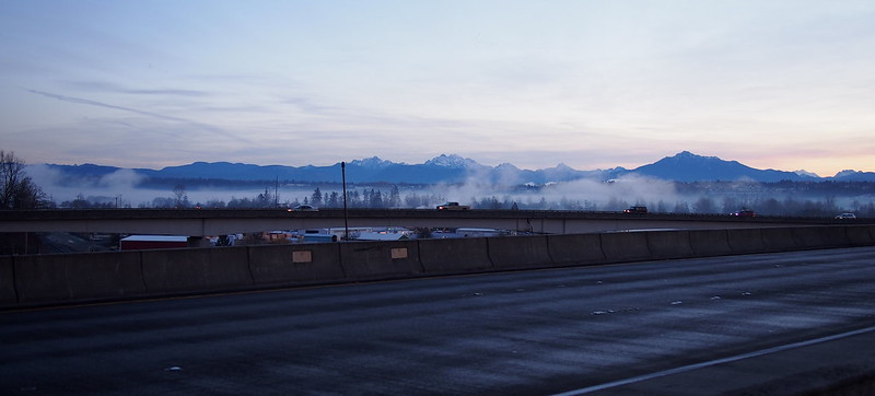
Freeway congestion.
— 竹下憲二 (@takeshita_kenji) November 22, 2015
Part 4: Return Home
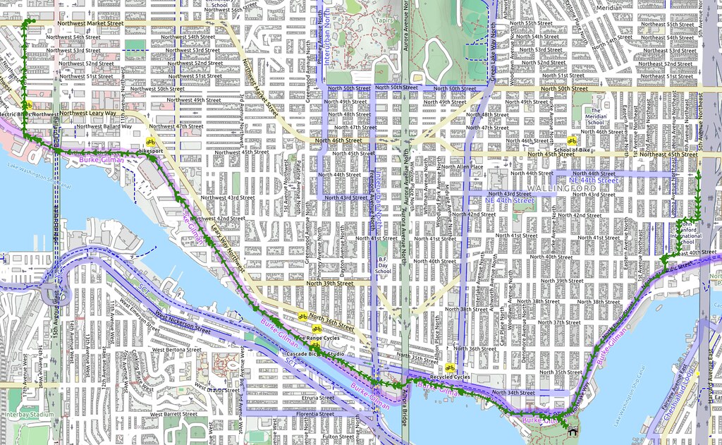
Once back in Seattle, I zipped down to the Burke-Gilman Trail, then rode that home like usual. I was really cold when I started then, but warmed up when I got home. However, I really needed a hot shower anyway.
Wow, that was a pretty good ride. Need to get the saddle in a position that is both efficient and comfortable.
— 竹下憲二 (@takeshita_kenji) November 22, 2015
A nice, hot shower will feel AMAZING after such a cold day. I didn't get chilled too often, though.
— 竹下憲二 (@takeshita_kenji) November 22, 2015
No comments:
Post a Comment