I could keep up speed better than the cars.
This is my first album where every photo was processed from the RAW rather than the camera JPEG. I'm still learning the process and have since improved, but I decided to leave these largely alone since finishing the album.
When planning this ride, something that worried me was how Snohomish County said the gravel section of the Mountain Loop Highway was closed. I asked about this in a few places, and someone pointed me to the US Forest Service map, which showed it as open. Since I always had the option of turning back in the event the information was bogus, I went for it.
Albums from past rides in the area:
More after the break…
Day 1
Part 1: To Darrington
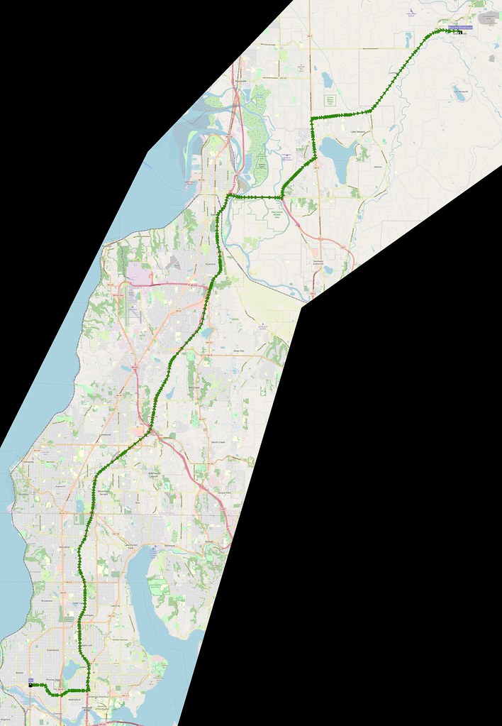
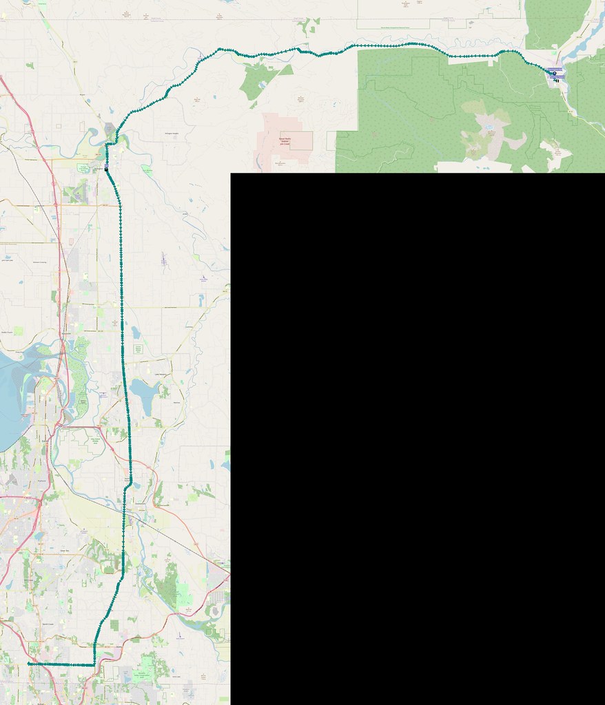
When I planned to start, I noticed that there was a somewhat significant chance of rain, so I put it off for a while until things looked dry enough outside at about 7 AM and headed up I-5 to Snohomish County. I didn't see any wet pavement on the freeway, and that persisted as I headed east on US 2 and SR-204. However, when I hit SR-92, things started to get a little damp, but nothing worse by the time I got to Granite Falls.
I'm at City of Granite Falls in WA https://t.co/7hF4pNanUj
— 竹下憲二 (@takeshita_kenji) July 16, 2022
A bit damp outside. It was dry all the way from Seattle to Lake Stevens, though.
— 竹下憲二 (@takeshita_kenji) July 16, 2022
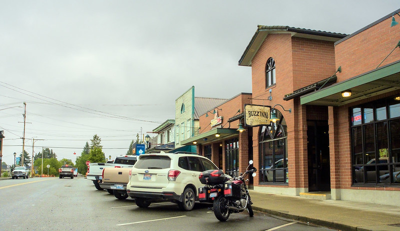
After parking my bike downtown, I looked at my surroundings to see if I could find a place with breakfast. The only thing open was the Buzz Inn Steakhouse, as indicated by a local walking in for their all-day breakfast. I had a plate of eggs, bacon, hashed browns, and a biscuit, while enjoying the scenery depicted in the photos on the walls.
All day breakfast! (@ Buzz Inn Steakhouse Granite Falls - @buzzinnwa in Granite Falls, WA) https://t.co/kYLm4w8JDY pic.twitter.com/qvX1EpoWw8
— 竹下憲二 (@takeshita_kenji) July 16, 2022
There are photos of both the area around here and other places around the world on the walls.
— 竹下憲二 (@takeshita_kenji) July 16, 2022
Part 2: Mountain Loop Highway
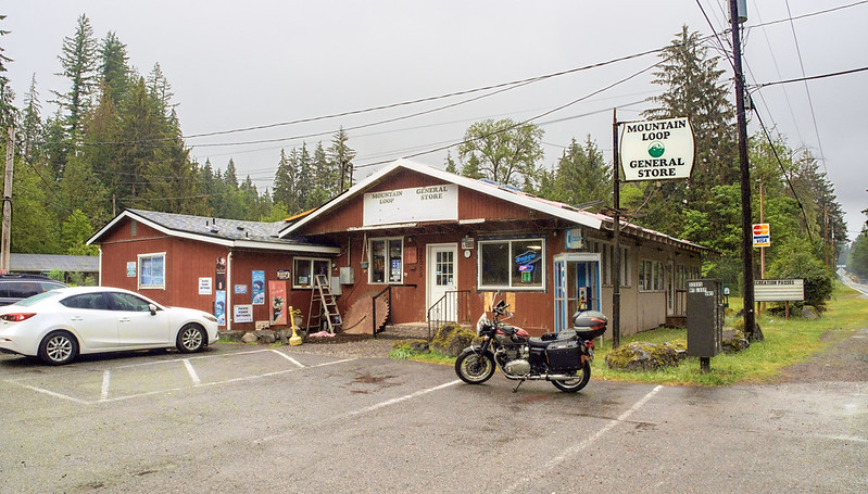
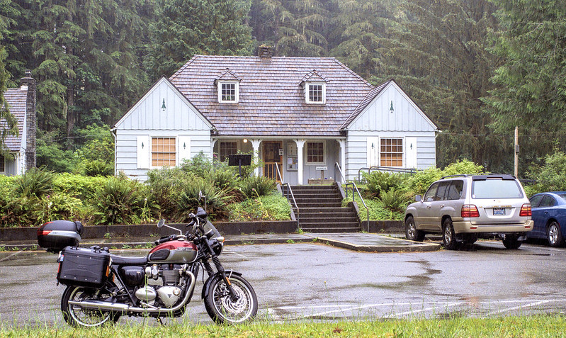
Not long after I left Granite Falls, the rain really started coming down! Despite that, I didn't want to put on rain gear quite yet, even when I stopped at the Mountain Loop General Store for photos. When I did stop there, a couple of cars were waiting for it open, which it did only a couple minutes later.
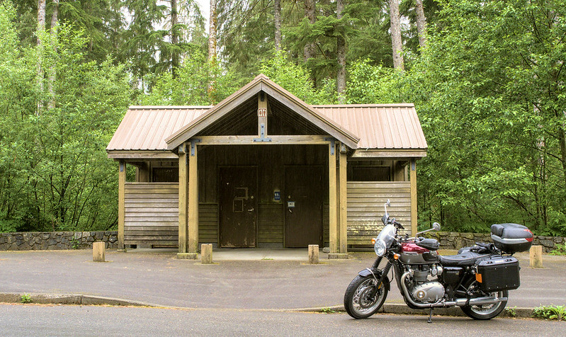
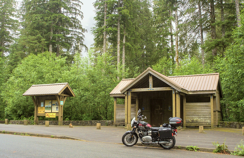
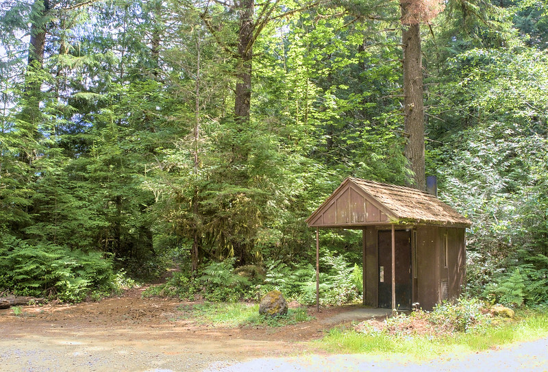
My plan was to put on my rain gear when I hit Verlot, which involved ducking into the undercover area in front of the restrooms to prevent my inner layers from getting soaked while I changed.
With my rain gear equipped, I continued west along the highway to Barlow Pass. Along the way, I slowed down as I approached the road for the Big Four Mountain Trailhead…only for it to be closed. While a bummer, I did get to pull off for photos at the nearby Ice Caves Trailhead.
By the time I hit Barlow Pass, the rain had thankfully stopped. When I commented on that, someone nearby muttered "Sure hopes it stays that way."
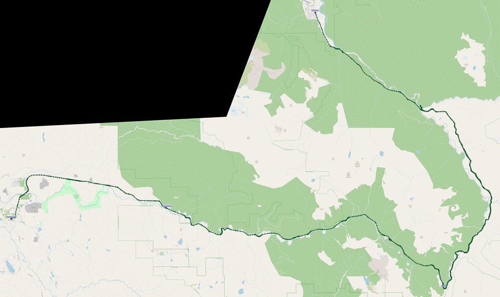
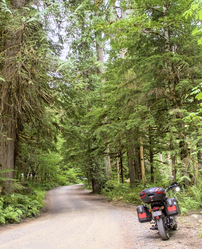
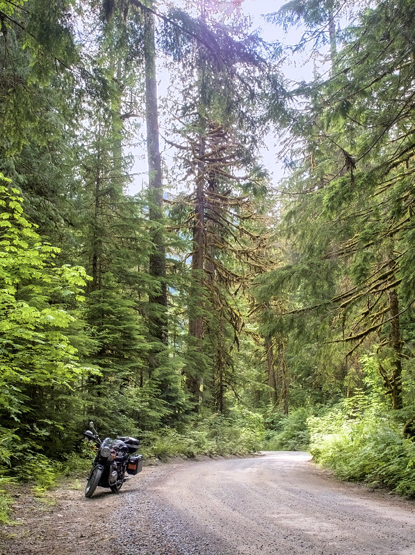
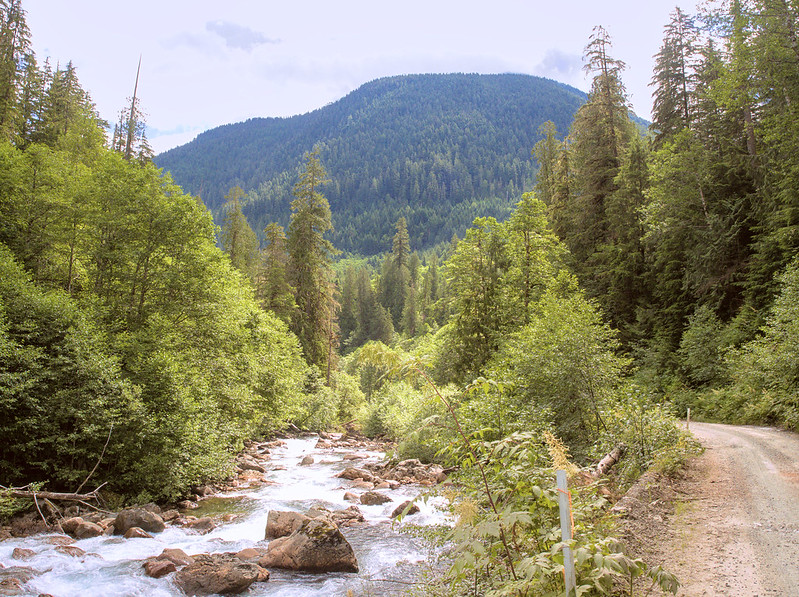
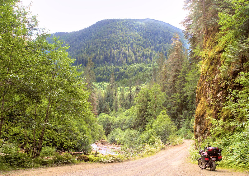
Next up was the center attraction: the gravel section! It started off a bit rough with nasty potholes in the gravel adjacent to the pavement as is usually the case, and I took the steep downhill section right after a bit slowly. Thankfully, with engine braking, I didn't have to worry about losing traction on the front tire. I did eventually loosen up, even making it to second gear for the straighter sections. Even in first, I was coming up on cars who were bouncing left and right with every pothole. Since I could weave to avoid them instead and maintain speed, cars regularly pulled over to let me pass.
With many windy and narrow sections, it really made sense to me that they haven't bothered with paving this part of the highway. Also, there aren't that many people out there.
The gravel section of the Mountain Loop Highway is honestly not bad at all. Definitely fine for street bikes.
— 竹下憲二 (@takeshita_kenji) July 16, 2022
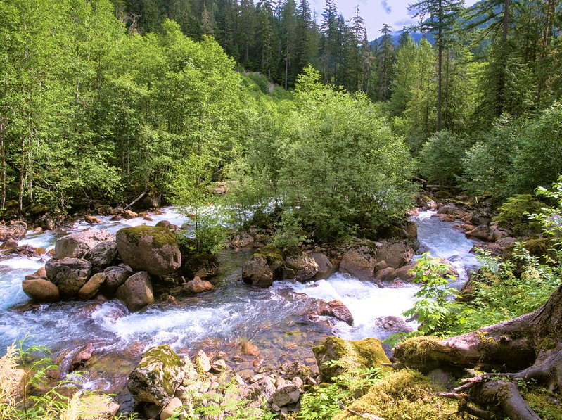
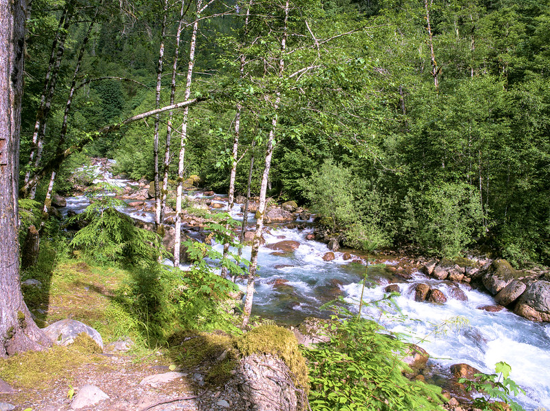
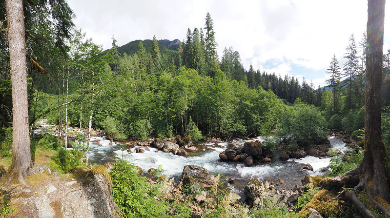
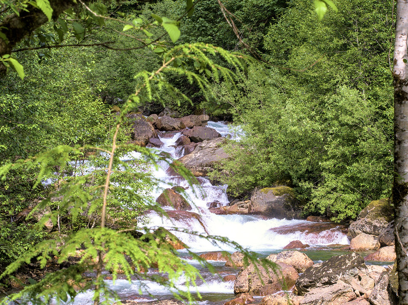
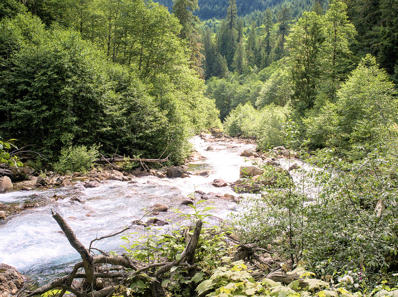
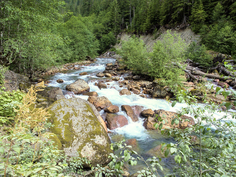
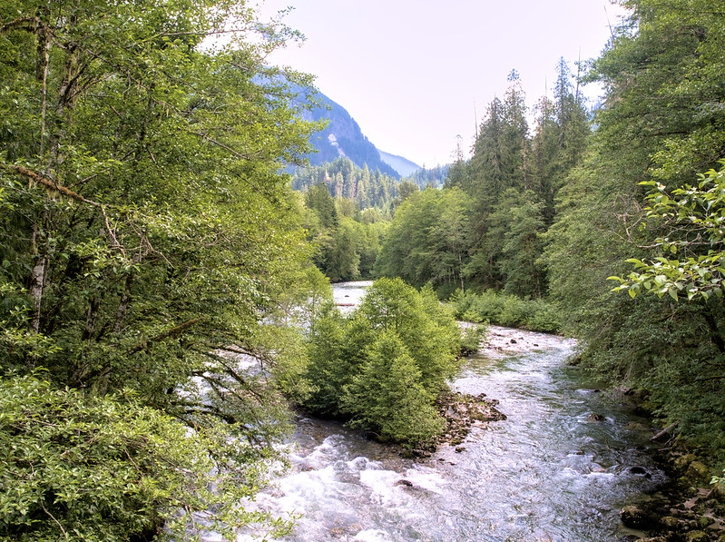
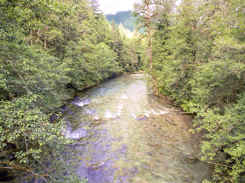
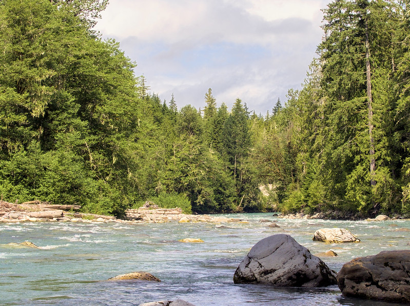
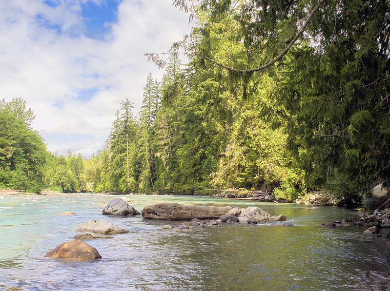
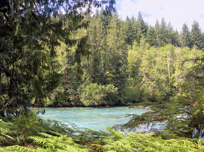
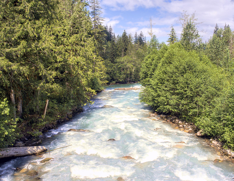
The scenery along the highway was something else! The Sauk River and its forks provided some very nice sights, and I wasn't the only one who thought so. At one point, I wanted to get a photo of my bike with a lovely rock face and a view of the river, but huge black SUV full of people also wanting photos parked right in the shot. After biding my time (and using the time to remove my rain gear because of the heat), they left and I got the chance I wanted.
I saw a number of tents at campsites without accompanying cars adjacent to them, which made me wonder how the campers got out there. In at least one case, they parked on the other side of the highway bridge, so I'm guessing people sometimes like to park away from where they camp.
The pavement returned shortly before the confluence of the Sauk River's forks, which was sooner than I'd expected. Seeing a sign for the White Chuck Boat Launch, I turned off the highway and parked in its associated lot, which had several cars with boat trailers. Passing a number of groups getting their watercraft ready, including some pumping up inflatable types, I headed to the riverbank, which was not unlike a rocky beach, to take photos.
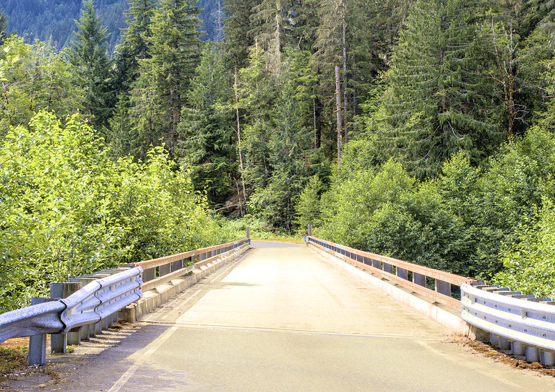
Since I'd wanted to photograph the bridge I'd crossed to get to the boat launch, I headed back towards the highway and parked in a gravel patch an the side of the road.
As I finished up and prepared to be on my way, I heard the sound of loud thumpers approaching, which turned out to be a couple of folks headed out to some real gravel riding. I do hope to someday be like them.
Saw a couple of guys on dual sports headed out on one of the rougher rodes on this side of the pass.
— 竹下憲二 (@takeshita_kenji) July 16, 2022
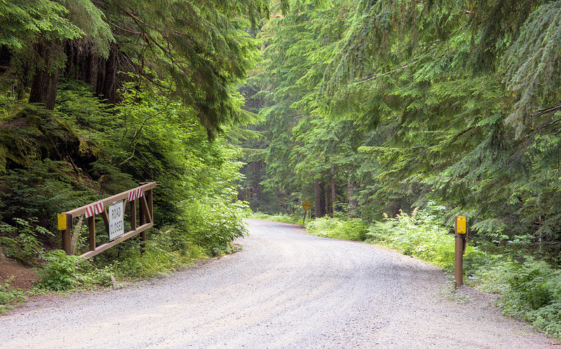
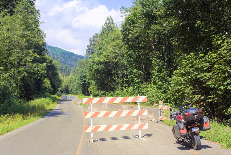
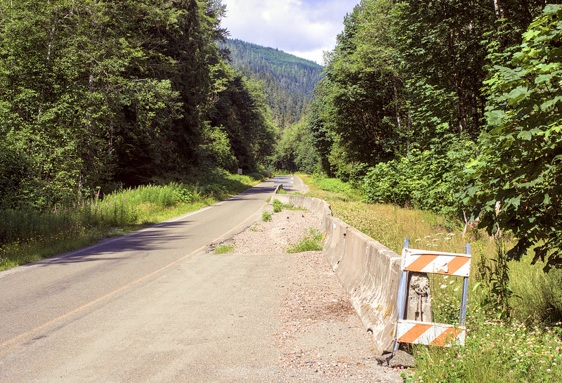
My journey to Darrington was interrupted once more, as I wanted to get shots of the barricaded section of the highway. Still not sure if it was a washout or just settling, as there were trees between the highway and the river.
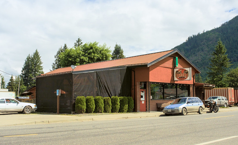
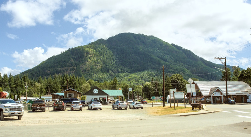
Not long after that, I finally rolled into Darrington, stopping for lunch at the first place I saw: the Red Top Tavern. The locals were chatting very loudly while gathering to play horseshoes, so I kept quiet and to myself since it was a bit intimidating. I ended up eating a basket of two corn dogs and tater tots, which were satisfying after being out for so long.
While I was there, a couple walked in and asked about where the nearest RV park was, as they had a huge truck and fifth wheel trailer and wanted the usual hook-ups. The locals at the bar told them to try the Cascade Kamloops Trout Farm & RV Park only a few blocks away.
I'm at Darrington, WA in WA https://t.co/piXYFiBNPN
— 竹下憲二 (@takeshita_kenji) July 16, 2022
I'm at Red Top in darrington, WA https://t.co/Ss2vKAx9f2 pic.twitter.com/BLEvYG6Q5G
— 竹下憲二 (@takeshita_kenji) July 16, 2022
Part 3: Return via Bothell
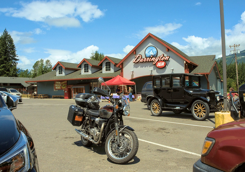
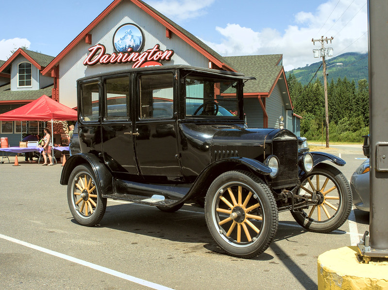
Before fully leaving Darrington, I headed to the IGA to get water since I still had a ways before I was done for the day. In an adjacent spot was a 1927 Model T, whose owner was more than happy to tell a small crowd about. He left not long before I did, so I got to hear that classic engine sound. Also at the IGA was a booth selling fresh pulled pork sandwiches, which made me regret getting food already!
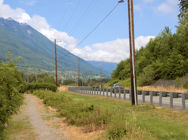
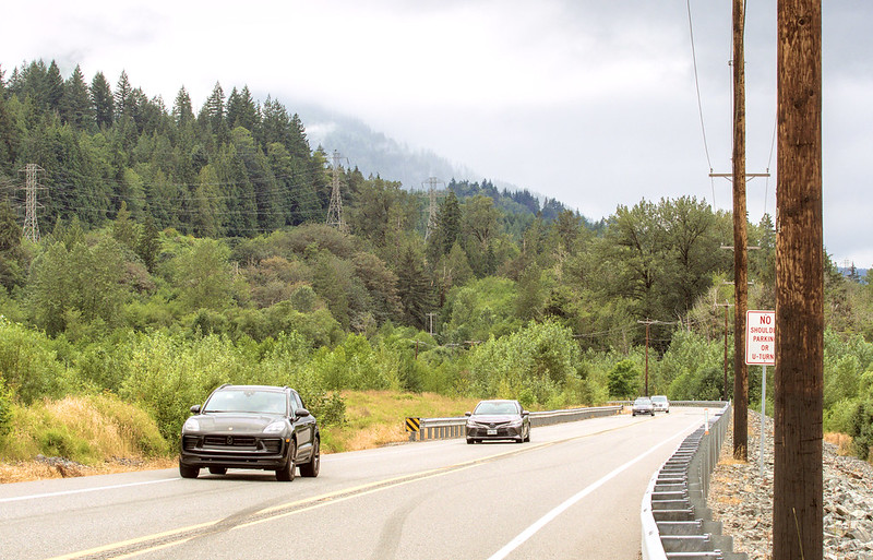
While I headed back west along SR-530, I ended up stuck in a few lines of cars behind slow "lead" cars. In one case, a sport bike pulled up behind me and zipped by the line at the first chance, without much of a safety margin between them and oncoming traffic. In another case, I saw a big pickup truck do the same, but with an even narrower safety margin!
When I approached the section of SR-530 that had been rebuilt after the landslide, I kept an eye out for the  Oso Landslide Memorial since I'd missed it on my previous time in the area. Thankfully, I saw it coming this time and had my chance to pull off to check it out. While taking photos, I noticed a couple of guys in white pickup trucks who were chatting to each other with their window rolled down the entire time, which seemed a bit odd to me.
I'm at Oso slide area in WA https://t.co/hWmYURe7kP
— 竹下憲二 (@takeshita_kenji) July 16, 2022
Once at the west end of SR-530 in Arlington, I started on my way south along SR-9. I was hoping for a nice ride along a back road, but traffic was horrible! Every roundabout involved waiting in a long line of cars headed south, and it got even worse at stoplights! I was sure glad when I left it for the road to my parents' place. Right after the turn off, I saw very long and fresh skid-marks coming down the hill going from the downhill to the uphill side of the road, and a car that was either pulling out from a side street or was recovering from quite the skid. I still don't know what actually happened as I write this post.
Saw LONG and fresh skid marks down 228th's descent to SR-9, that ended on the wrong side of the road. There was also a black Subaru turning onto 228th downhill at the end of the skid marks. Wondering if the marks were theirs.
— 竹下憲二 (@takeshita_kenji) July 16, 2022
Day 2: Return Home
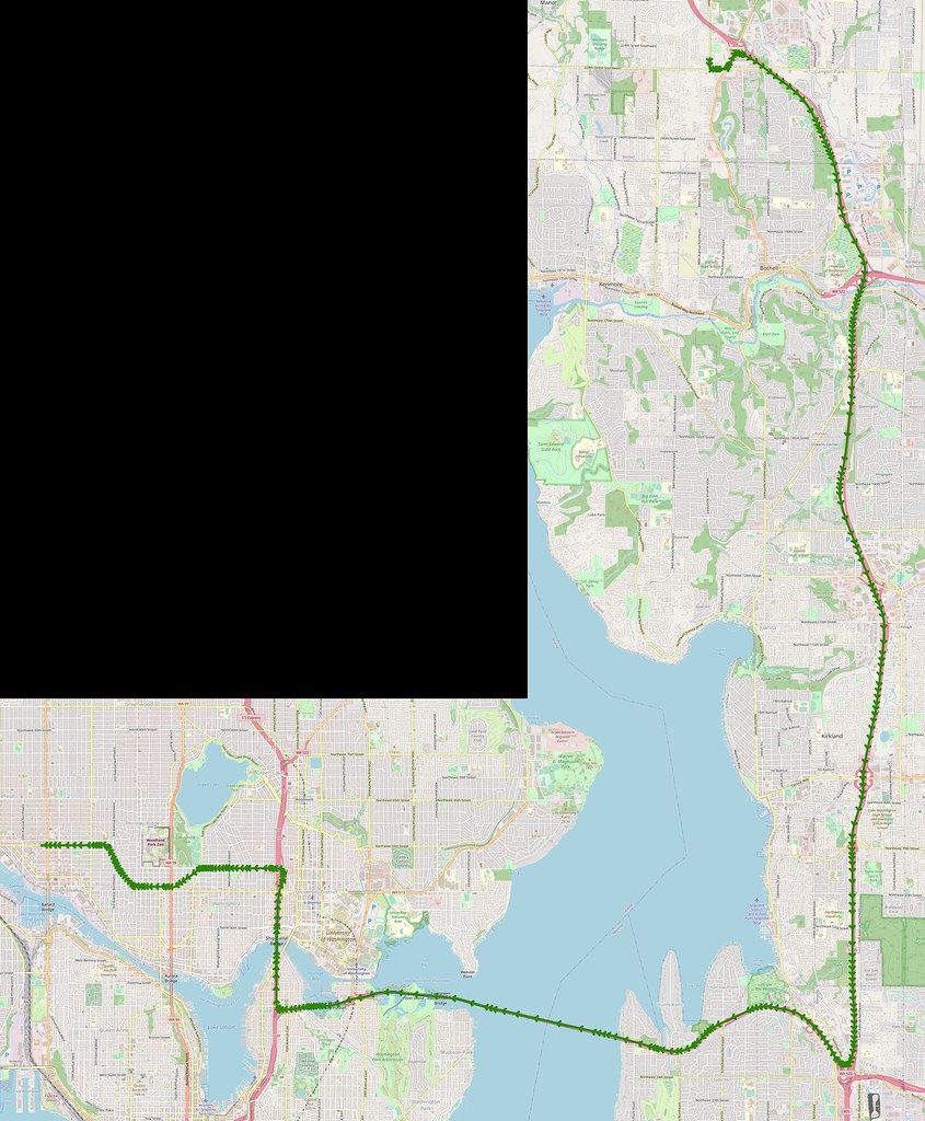
After birthday festivities at my parents' place on the next day, I headed back home in the early evening. It was fairly uneventful, aside from a lost driver nearly merging into me on N 46th Street under Aurora! SDOT really needs to put better signage further back from that mess of an intersection so people don't end up in the left turn lane when they don't want to turn left.
















No comments:
Post a Comment