I finally summitted the pass that had been eluding me for years!
Related albums:
I've been talking about going to Stevens Pass for many years. On my first ride out to Skykomish, my plan was to get to Scenic at least, but it was just too far. I'm glad I split it up into multiple days: the last five miles to the pass are a real doozy! It also gave me time to check out some sights I would've missed otherwise.
More after the break…
Day 1: To Skykomish
Part 1: To Bus
As usual, I started on this ride at about 05:00, then headed east to the University District for the bus to Everett. Along the way, I saw a bright flash over what must've been northern Lake Washington. To this day, I still don't know what that was.
Just saw large, red-orange flash in the sky to the east.
— 竹下憲二 (@takeshita_kenji) August 16, 2019
Starting on a slightly larger #cycling trip than usual. (@ University District North Bound Freeway Bus Station) https://t.co/gQhEljRekJ
— 竹下憲二 (@takeshita_kenji) August 16, 2019
The @SoundTransit website said the 512 wasn't serving this station due to construction, but it didn't specify that only the southbound station was being skipped.
— 竹下憲二 (@takeshita_kenji) August 16, 2019
OneBusAway said I had 10 minutes…right before the bus showed up. What happened?
— 竹下憲二 (@takeshita_kenji) August 16, 2019
Facing backwards because the first northbound 512 was much more loaded than I'm used to.
— 竹下憲二 (@takeshita_kenji) August 16, 2019
Thankfully, I was able to get a forward-facing seat well before Everett.
Part 2: Outbound
After eating a snack at Everett, I headed out on US 2 just like couple months back for speed. The shoulders were still largely in the same state, though most of the construction signs had since been moved. In one part in the Snohomish bypass, however, I saw that the westbound lanes had been moved over and the rumble strips were fully gone.
🎵We gotta get out of this place, if it's the last thing we ever do.🎶 (@ Everett Station - @everettcity in Everett, WA) https://t.co/f0zQ0Qr50z
— 竹下憲二 (@takeshita_kenji) August 16, 2019
Looks like WSDOT is grinding away the rumble strips extra deep to remove all traces, then adding an intermediate layer of asphalt before adding the top layer of it. They're moving the travel lanes outward enough that the rumble strips have to go.
— 竹下憲二 (@takeshita_kenji) August 16, 2019
Still not happy about the signs blocking the shoulders every 200-300 feet, though. #seabikes
— 竹下憲二 (@takeshita_kenji) August 16, 2019
Immediately east of Monroe, the entire road surface had been ground off for repaving, which wasn't too terrible.
Grooved pavement on US 2 west of Monroe.
— 竹下憲二 (@takeshita_kenji) August 16, 2019
Since I had more time for this ride, I added some breaks from US 2 along Sofie Road and Fern Bluff Road, which provided a nice change of pace.
Shortly after snapping a photo of my bike with the Sultan sign while stopped, my bike fell onto a rock and the downtube logo was badly damaged. Since the only shop I could think of that would possibly have clear nail polish was in Gold Bar, I had to be patient regarding doing something about the damage.
Bit of bad luck. Hopefully the grocery store in Gold Bar has clear nail polish. #bicycle #cycling #333fab @ Chevron / Extra Mile Sultan https://t.co/AM7DPULCxV
— 竹下憲二 (@takeshita_kenji) August 16, 2019
Looks like these guys got rid of the porta-potty. (@ Startup Market in Startup, WA) https://t.co/g6dLKdoDAo
— 竹下憲二 (@takeshita_kenji) August 16, 2019
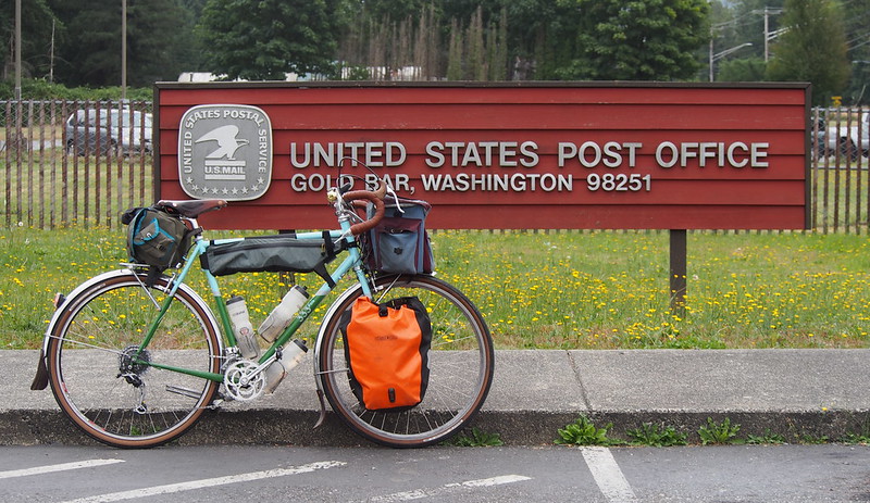
As always, it didn't take long to get to Gold Bar.
Part of it was because of my new Panaracer GravelKing tires (the non-SK version). They rolled faster and smoother at a much lower pressure than my old mainstay touring tires!
Switched to @panaracerjeff GravelKings because I'm not longer afraid of getting tires on or off. The trick that nobody ever taught me is to push the beads into the well. #cycling #bicycle #bicycletouring… https://t.co/hnhlDKBFz1
— 竹下憲二 (@takeshita_kenji) August 16, 2019
These tires are so plush at 55 PSI that 25 MPH feels no more rough than 10 MPH!
— 竹下憲二 (@takeshita_kenji) August 16, 2019
Who is Jeff? That should be @panaracer_world .
— 竹下憲二 (@takeshita_kenji) August 16, 2019
Unfortunately for me, there was no nail polish at the Family Grocery Store in Gold Bar after all. One of the staff told me to try a clear paint a couple towns back to the west, so I decided to give up on it until I got home a couple days later, and instead enjoy the ride toward the east. I did make one stop before leaving town, though: I'd noticed that construction crews had arrived at the old Gold Bar Market, and wanted to snap a picture. Maybe they're remodeling it instead of demolishing it?
As usual, I left Gold Bar via May Creek Road and Reiter Road. Along the former, I noticed that they'd recently repainted the road markings, which lead up to a new paved shoulder for a housing development. How far must one go out to avoid tract housing?
It's humid and cloudy, but not hot. Nice.
— 竹下憲二 (@takeshita_kenji) August 16, 2019
They're adding a parking lane on May Creek Road for the housing development that's going in. They've also restriped it.
— 竹下憲二 (@takeshita_kenji) August 16, 2019
Reiter road was as enjoyable as always, but this time I managed to get all the way to the top without walking! I did have to do the thing where I meandered left and right to reduce the effective grade I had to climb, but that's a fairly standard tactic.
Managed to winch my way up and over Reiter Road on a loaded bike without a super-low gear. Didn't have to push/walk, but I did have to use that "hill tacking"/switchback technique at the steepest part, then had to rest at the top of it for a minute. #cycling
— 竹下憲二 (@takeshita_kenji) August 16, 2019
I also snapped some photos of the descent at the western end.
I arrived to some pretty stiff winds in Index, which I don't recall ever experiencing before.
Pretty windy out here. (@ Index, WA in WA) https://t.co/mYwKGVZ9Zz
— 竹下憲二 (@takeshita_kenji) August 16, 2019
While I ate in front of the General Store, a guy on a seemingly cobbled-together Schwinn e-bike rolled up, parked it, and went into the store. While he was in there, the shifting winds knocked it over. I hope didn't think I had anything to do with it. Shortly before leaving Index, I noticed that the drinking fountain in Doolittle Pioneer Park had some signs that implied it supplied non-potable water. So why is it a drinking fountain?
So why is there a drinking fountain? #notpotable #indexwa #smalltownlife @ Index, Washington https://t.co/KPTbpfuYuz
— 竹下憲二 (@takeshita_kenji) August 16, 2019
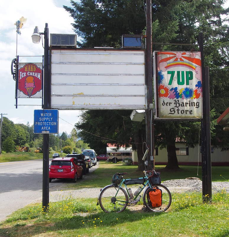
For the first time in years, I made a left when I got back to US 2, sending me further into the mountains. The highway at this point was surfaced with the driest, dustiest chipseal I'd ever seen. Talking to locals would later reveal that they'd been doing it this way for much of those years, with a fresh surface followed by a gravel sweep fairly regularly, and with the most recent one being the day before this ride. Nobody was a fan, with the official speed limit being 25-35 MPH depending on the location. I didn't really mind it, though, because my tires were so comfortable.
WSDOT has been resurfacing US 2 with the driest, dustiest chipseal I've ever seen. The locals are not a fan of it, either.
— 竹下憲二 (@takeshita_kenji) August 16, 2019
The speed limit is supposed to be 25-35 MPH, but going that speed only begets road rage based on what I saw and heard.
— 竹下憲二 (@takeshita_kenji) August 16, 2019
Dust in my eyes was a constant problem on these sections.
— 竹下憲二 (@takeshita_kenji) August 16, 2019
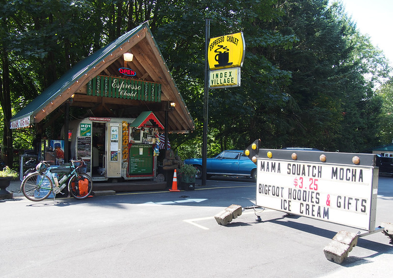
Shortly after getting on the highway, I winched my way up to the Espresso Chalet, a climb that was much easier than I remembered. While stopped, I took some photos for an old couple in front of one Bigfoot statue, and they took some of me in front of the other. I also got a milkshake and a T-shirt, though not the exact print I'd wanted from their selection due to limited stock.
Got some cool stuff. #bigfoot #harryandthehendersons @ Espresso Chalet https://t.co/B6mgPkJK2H
— 竹下憲二 (@takeshita_kenji) August 16, 2019
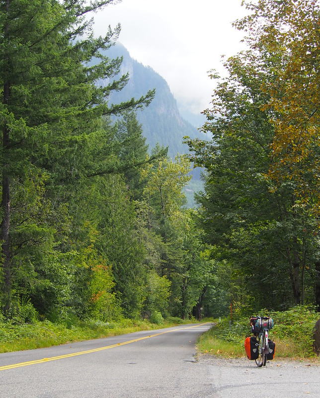
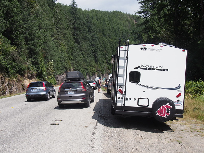
More climbing followed the Espresso Chalet, up to the location where I snapped a favorite photo of mine. Not long after I'd stopped, a silver F-350 rounded the corner, billowing large amounts of smoke from its front, which prompted me to get out of the shoulder. The truck pulled over, and the grass under it promptly caught on fire. Other cars pulled over to try to help, including a BNSF hi-rail truck. People tried pouring water on it, but it took a lot of effort for them to finally put it out. I asked the driver in passing, and he pointed at the trail of oil on the road left by his truck and said that he blew something while climbing the hill. What a terrible situation!
When I was taking photos of Mt. Index, a silver F-350 towing a trailer had huge amounts of smoke billowing out from the front. After it pulled over to the side of the road, the bush under it caught fire!
— 竹下憲二 (@takeshita_kenji) August 16, 2019
A few cars pulled over/behind it to help, including a BNSF hy-rail truck. When I asked, the driver pointed at the trail of oil that had been leaking out as it climbed the hill there.
— 竹下憲二 (@takeshita_kenji) August 16, 2019
I didn't see the resolution, but I did see the truck pass me at the bottom of the descent of that same hill.
— 竹下憲二 (@takeshita_kenji) August 16, 2019
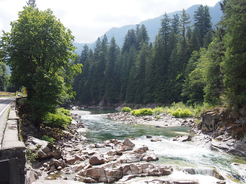
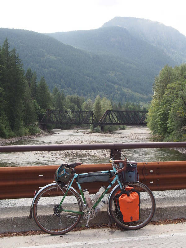
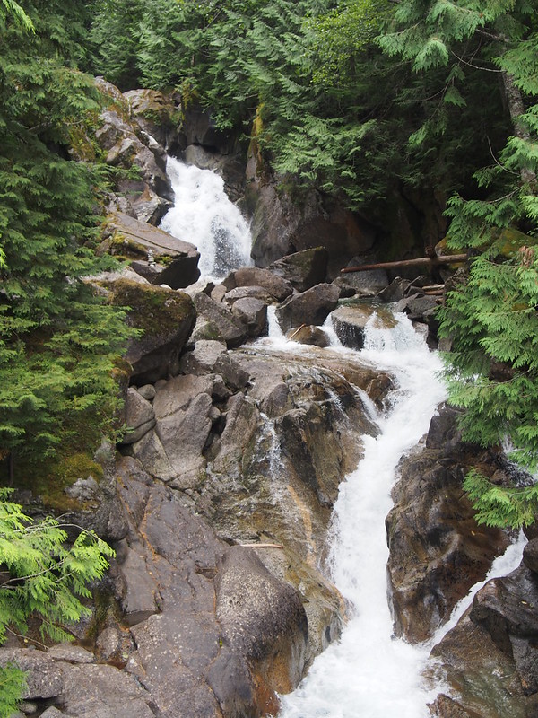
While making the descent from that high point to the South Fork Skykomish River, a semi truck zipped by me, spraying me with high-speed dust that stung my arms and legs! At the bottom, I saw a beautiful set of miniature waterfalls on the river and stopped to take photos. How had I not seen that on my past rides?
A semi truck passed me going significantly faster than that and the dust cloud hit me so hard that it actually stung all exposed skin!
— 竹下憲二 (@takeshita_kenji) August 16, 2019
After the rapids came some familiar sights in Baring and Grotto.
And the Old Cascades Highway bridge and current Cascades Highway tunnel.
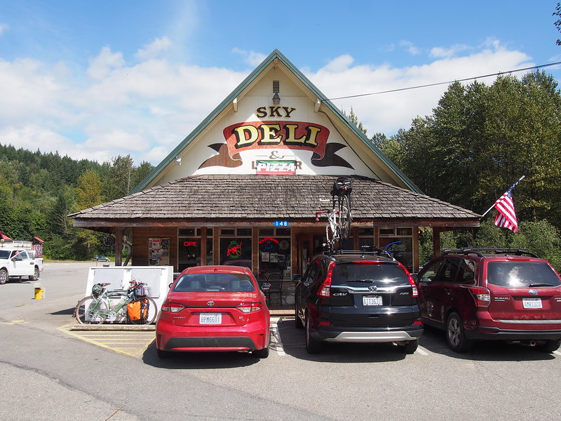
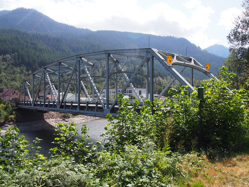
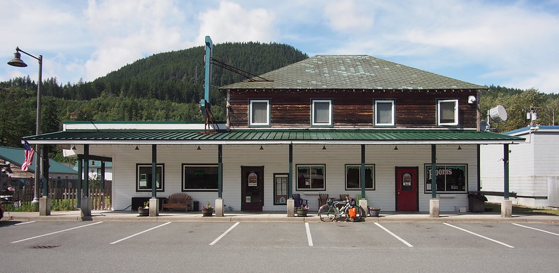
I arrived in Skykomish at about 14:30. I was curious to check out the Sky Deli, only to find that the staff was overloaded. While waiting the 5-10 minutes, I chatted with a guy who had a Cannondale tandem and was very keen on going tubeless with it. Once my wait was over just for two muffins and an orange, I crossed the river into downtown.
Nice. (@ Skykomish, WA in WA) https://t.co/RbtNIvdZFl
— 竹下憲二 (@takeshita_kenji) August 16, 2019
These guys are overloaded. (@ Sky deli & liquor in Skykomish, WA) https://t.co/fC61TN69Cu
— 竹下憲二 (@takeshita_kenji) August 16, 2019
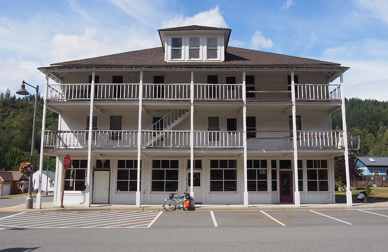
And finally arrived at my accommodations: the Cascadia Inn. The folks running it were very nice, and even had a back room where I could store my bike. My room was a very basic one, with little more than two beds, a window, and a lamp. The bathrooms were down the hall, with the bathroom itself open to the hall but each shower and toilet having its own full door like any other regular room. Pretty creative way to get around the fire code!
This place is pretty cute! (@ Cascadia Inn in Skykomish, WA) https://t.co/h8TBLFp1YP
— 竹下憲二 (@takeshita_kenji) August 16, 2019
There's a guest TV that gets a lot of channels I haven't seen, like Boomerang. I saw a couple Looney Tunes episodes I recognized, and one I didn't. The latter had Bugs talk about Hell's Angels.
— 竹下憲二 (@takeshita_kenji) August 17, 2019
Even though I brought camping flatware and utensils under the assumption that I would have to prepare my food in a bathroom, there was a fully stocked guest kitchen!
— 竹下憲二 (@takeshita_kenji) August 17, 2019
They have a back room where I could store my bike, so I wouldn't have to lug it up the stairs.
— 竹下憲二 (@takeshita_kenji) August 17, 2019
Since I was hoping to check out the Great Northern & Cascade Railway before it closed, I headed over to the depot…only to find out that the rides stopped at 15:00 on Friday, not 16:00. Tom, the guy volunteering that day, was nice enough to not only let me ride the train, but drive the locomotive! Imagine my surprise when I was the one spinning the little rheostat to control it!
The nicest guy runs this place. He even let me drive the miniature locomotive! (@ Skykomish Train Rides in Skykomish, WA) https://t.co/wlkCxclAv7
— 竹下憲二 (@takeshita_kenji) August 16, 2019
He talked about his love for playing the guitar, and his brother's love of bicycles.
— 竹下憲二 (@takeshita_kenji) August 18, 2019
After a few loops around the track, I helped him put the locomotive back in the garage and headed into the depot to chat for a bit. When I told him that I rode my bike into town, he told me about his brother who loved bikes and was running a bike shop over in Aspen during the Summer. He also told me of his own love of guitars and how he's been playing since he was a kid, though never professionally. I recall him saying, "There are 8(?) human emotions, and I chose joy." He loved helping people have fun.
I headed back into town to the Cascadia Inn for dinner, which for me was meat spaghetti with a Caesar salad. It tasted much more homemade than like restaurant fare, which was a pleasant surprise. While I ate, another familiar face showed up to eat: Tom. I only noticed when he said, "I'll have what Neil's having."
When I went to eat dinner at the Cascadia Inn Cafe, the guy who let me drive the train came to eat long after. I only realized it when he said, "I'll have what Neil's having."
— 竹下憲二 (@takeshita_kenji) August 17, 2019
Part 3: Miller River
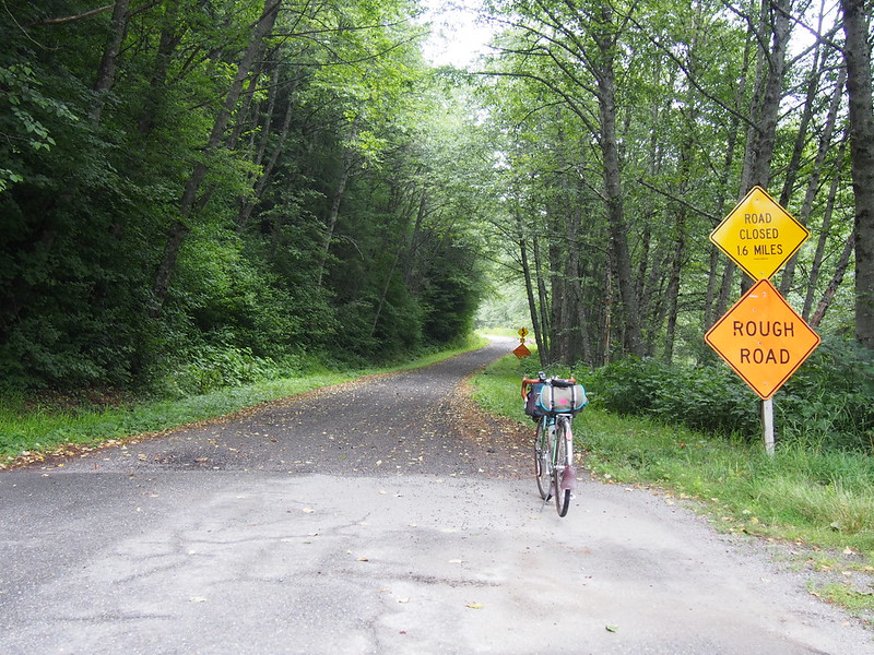
Once done with dinner, I went out for a spin to the Miller River Washout on the Old Cascades Highway, which didn't disappoint.
While I was out past the road closure, I saw what I thought was an SUV drive down one of the gravel driveways off the road. I saw exactly what it was while I was taking that last photo: a police car. I waved to the officer to try to tell him that my camera was in the road, but he didn't understand until he got out to talk to me. He kept assuring me that he wouldn't run over my camera, but I was on edge because I went past the closure and picked up my camera anyway. Once we were done talking, he went down another gravel driveway. Where in the world was he going?
Once back in town, I went to the local bar: The Whistling Post. Out front was a little kid cursing out his dad, using words that I never would've expected a kid of that age to know. Thankfully, the bar had a much better atmosphere, with decor and music that really jived with me. Hungry after the ride, I had a Polish sausage, chips, and a Bud Light. I normally wouldn't choose such a light beer, but I wanted to not be too out of it the next morning, and it was quite satisfying after such a long day.
There was a 5-7 year old kid cursing out his dad on the street last night. Kid really had a mouth!
— 竹下憲二 (@takeshita_kenji) August 17, 2019
I'm at The Whistling Post in Skykomish, WA https://t.co/Vy5MUDakoz
— 竹下憲二 (@takeshita_kenji) August 17, 2019
The atmosphere here is great. Both the decor and music are right up my alley.
— 竹下憲二 (@takeshita_kenji) August 17, 2019
Really enjoying this place. #bar #pub #saloon @ Whistling Post https://t.co/XU5iYk5orr
— 竹下憲二 (@takeshita_kenji) August 17, 2019
After leaving the bar, I headed back to the inn to take a shower, brush my teeth, and head to bed for the night.
Day 2: Stevens Pass
Uphill
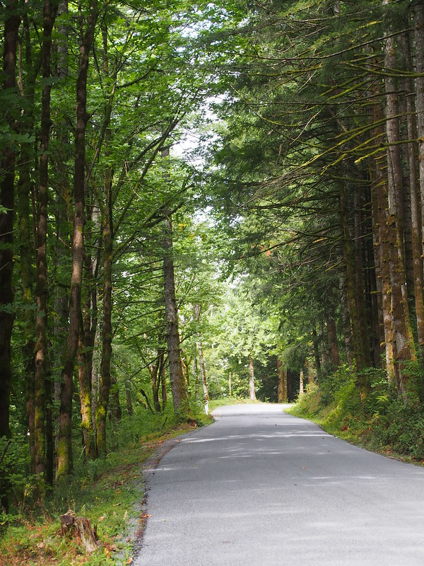
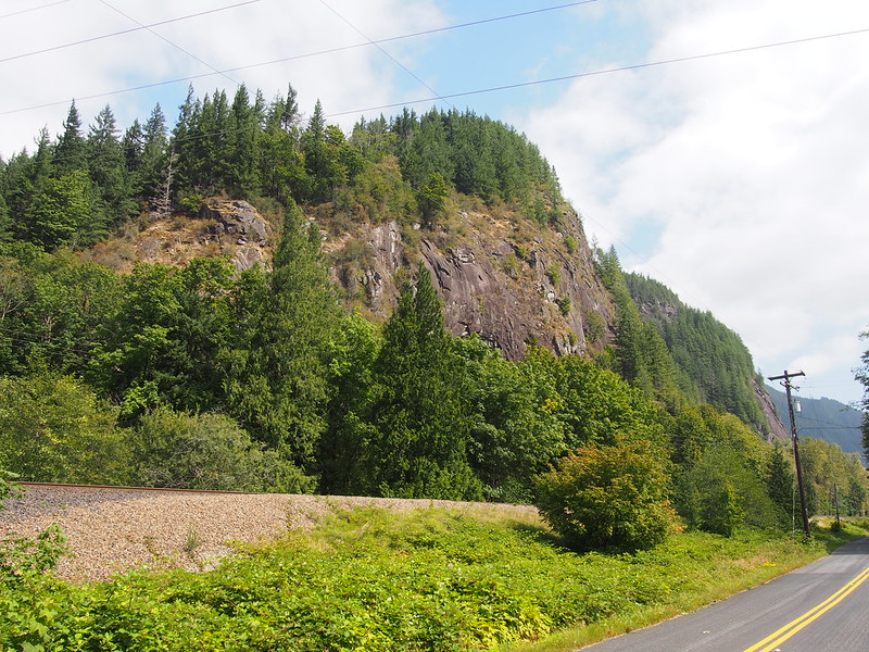
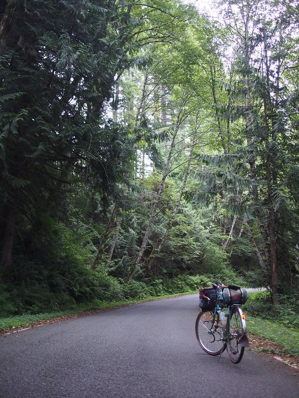
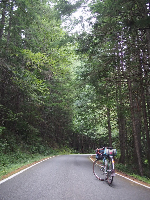
I started at about 06:00 on the second day. It started fairly normally, with fairly easy grades for miles on US 2, but when I left it for the Old Cascades Highway, it started pitching up more. Along the way, I recognized the widened section of the highway where I turned back on my first outing this way, which was fairly nondescript otherwise. The Old Cascades Highway felt like I was riding through a tunnel of trees along rivers for much of the way, which is a feeling that's hard to find in the Seattle Metropolitan Area.
I saw a turn off for the Iron Goat Trail partway up the highway, and hung a left onto a gravel road. After climbing for a while, I stopped to consider whether it was even worth making the climb. After looking at a map, I decided against it, since I wasn't even a third the way up, and honestly dreaded the descent on the dusty gravel. Going back down, I felt pretty dumb after jumping into that without a thought.
Earlier today, I made the left onto the gravel road to the Iron Goat Trail from the Old Cascade Highway. After about a mile of climbing, I looked at a map and saw this little detour would've taken me significantly further off route than I wanted.
— 竹下憲二 (@takeshita_kenji) August 18, 2019
Feeling stupid, I just turned back. Guess I'll never see the old tunnel portal, not least because I also decided against the Old Stevens Pass Highway.
— 竹下憲二 (@takeshita_kenji) August 18, 2019
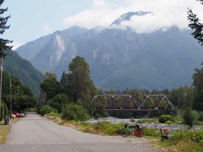
Not long after returning to the Old Cascades Highway, the road joined up with the Tye River, which provided even more beautiful sights.
There are some hidden campsites and old cabins along the Old Cascades Highway.
— 竹下憲二 (@takeshita_kenji) August 17, 2019
Before getting back onto US 2, I made a quick stop at the Iron Goat Trail Interpretive Site, which featured some information boards and an old Great Northern Caboose.
The restroom also featured this odd bit of graffiti.
Once back on US 2, I looked for the turnoff for the old highway, which was what I'd originally planned to take up to Stevens Pass.
What I found was not what I'd expected at all: loose 'gravel' that looked more like ground up asphalt that had been spread across the right of way. In hopes that there would only be a little of this, I pressed forward…until I found more of it after a proper paved section. Since I knew I would've ended up having a horrible time climbing this for hours, I gave up on the old highway.
My original plan was to take the Old Stevens Pass Highway the whole way up, but the gravel was loose and chunky enough that I didn't want to spend hours climbing on it. #cycling
— 竹下憲二 (@takeshita_kenji) August 17, 2019
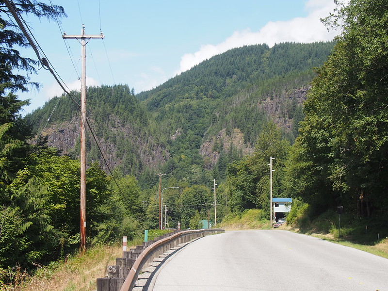
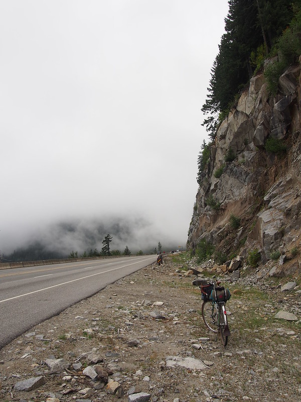
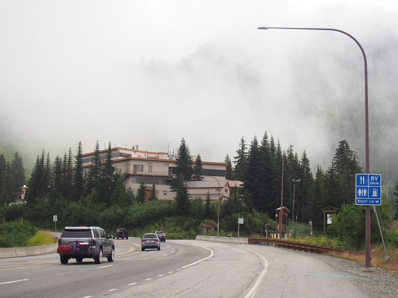
Back on US 2, I started my climb in earnest. After one hairpin over a creek, the valley to the left disappeared into the fog. With the clouds to my left and only rock faces to my right, I had the constant feeling of climbing into the sky.
It just keeps going up! #cycling #bicycle #bicycletouring #biketouring @ Stevens Pass https://t.co/U5P6PrGpDS
— 竹下憲二 (@takeshita_kenji) August 17, 2019
It felt like it kept going up and up with no end in sight, so when I finally did see signs of the Stevens Pass ski resort, I started getting excited.
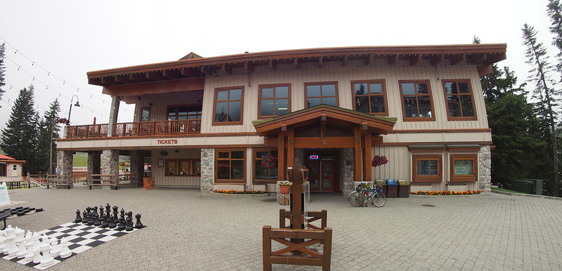
Once at the top, I turned into the parking lot and the feeling of elation nearly brought me to tears. The combination of joy of both finally getting to the stop of Stevens Pass after so many years and summitting a pass after a similar amount of time, the high from the rigorous exercise, and the relief of being done climbing after hours overcame me! Others had apparently witnessed my effort, as when I asked a group of guys if someone wouldn't mind taking a photo, they said that I really deserved it after what I'd done.
The last five miles are a real doozy! I'm so happy I could almost cry. #cycling #bicycle #bicycletouring #biketouring #stevenspass @ Stevens Pass https://t.co/BuIpvvHd6H
— 竹下憲二 (@takeshita_kenji) August 17, 2019
When I asked a group of guys if one of them would be willing to take my photo (not the one here), they said that they saw me climbing and that I really deserved a photo after doing so. #cycling
— 竹下憲二 (@takeshita_kenji) August 17, 2019
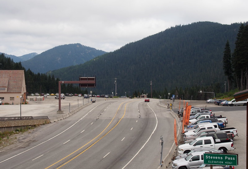
I thought Stevens Pass was around 3.5k feet up, but it's actually 4k feet!
— 竹下憲二 (@takeshita_kenji) August 17, 2019
Stevens Pass was a hive of activity, with full parking lots and lots of people here for both the resort and the mountain bike park.
This is the first time I've ever seen a mountain bike park in person. Lots of people riding the trails!
— 竹下憲二 (@takeshita_kenji) August 17, 2019
I went inside the lodge to get a hot sandwich and some hot chocolate to warm up, because I know I'd freeze going down. While inside, I saw the long line for something related to the mountain bike park.
I'm totally soaked with sweat. Need to chill for a while so I can dry out a bit before the descent, which is guaranteed to be very chilly. #cycling
— 竹下憲二 (@takeshita_kenji) August 17, 2019
The handlebar bag is the #cycling equivalent of a fanny pack in front.
— 竹下憲二 (@takeshita_kenji) August 17, 2019
Before leaving, I explored the park a little more. While doing so, I chatted with someone who was doing a through hike of the Pacific Crest Trail all the way from Mexico to Canada, and who had just turned down what I think was the shuttle (a Volkswagen Vanagon) to Skykomish.. He said he loved living off the grid and hated how man-made the park at Stevens Pass was.
There was a guy who was hiking the Pacific Crest Trail from Mexico to Canada. He said he loved living off the grid and wasn't a fan of all the human construction at Stevens Pass.
— 竹下憲二 (@takeshita_kenji) August 17, 2019
Downhill
The descent started fast and I easily hit 35-40 MPH. Every stop was a nightmare until I waited a little longer to put my foot down, which is a habit that I should'se already been practicing. I was also freezing to the point where my teeth were chattering, and had to put both a sweater and a jacket on before I kept warm enough.
Quite a view from up here! Tried riding on the shoulder for the descent, but it was far too rough for me. #cycling #bicycletouring #bike #biketouring @ Stevens Pass https://t.co/u6sqDeu33O
— 竹下憲二 (@takeshita_kenji) August 17, 2019
Oddly enough, the descent from Stevens Pass taught me better habits when stopping from a high speed. #cycling
— 竹下憲二 (@takeshita_kenji) August 18, 2019
I was headed towards hypothermia on the descent from Stevens Pass until I put both a sweater and a jacket on. However, it didn't take long for me to hit warmer air further down. #cycling
— 竹下憲二 (@takeshita_kenji) August 17, 2019
I will be forever grateful to my telephoto lens. Despite being pretty cheap, it lasted years and gave me thousands of photos. I'm glad it survived long enough to join me on this trip, and I'm sad to see it die.
— 竹下憲二 (@takeshita_kenji) August 17, 2019
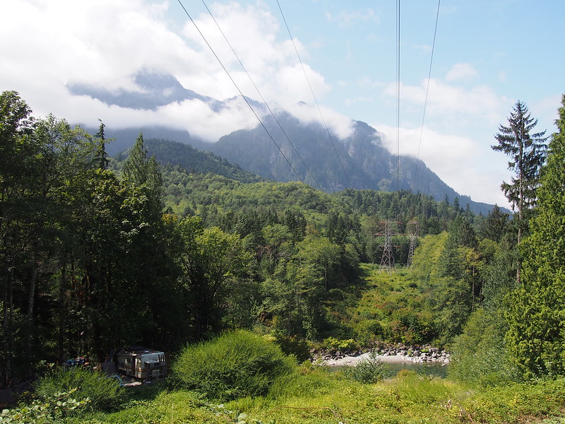
It was pretty crazy to see the highway way down below. Similarly, once down further, I could see it way up the mountain.
It was pretty crazy seeing the highway at the bottom of a valley far below where I was on that same highway.
— 竹下憲二 (@takeshita_kenji) August 17, 2019
At this point, my telephoto lens was starting to act up. It wasn't coming online and was making a sort of strained motor noise. After giving up after several tries, I resigned to the fact that the last photo it would ever take would be of the western portal of BNSF's Cascade Tunnel. I'd gotten thousands of photos over several years with this lens, so I thought this would be a good sign that I should invest in a nicer lens, and get this one repaired as a backup.
As I continued down US 2, I saw the turn off for Deception Falls and decided to stop for some more photos.
Kind of sad and telling how US 2 was built OVER Deception Falls.
— 竹下憲二 (@takeshita_kenji) August 17, 2019
It wasn't much longer until I got back to Skykomish.
Good to be back down from Stevens Pass. #cycling #bicycle #bicycletouring #biketouring @ Skykomish, Washington https://t.co/QNT6aYMcDg
— 竹下憲二 (@takeshita_kenji) August 17, 2019
Saw lots of people driving Subarus, riding motorcycles, and living the #vanlife up here.
— 竹下憲二 (@takeshita_kenji) August 17, 2019
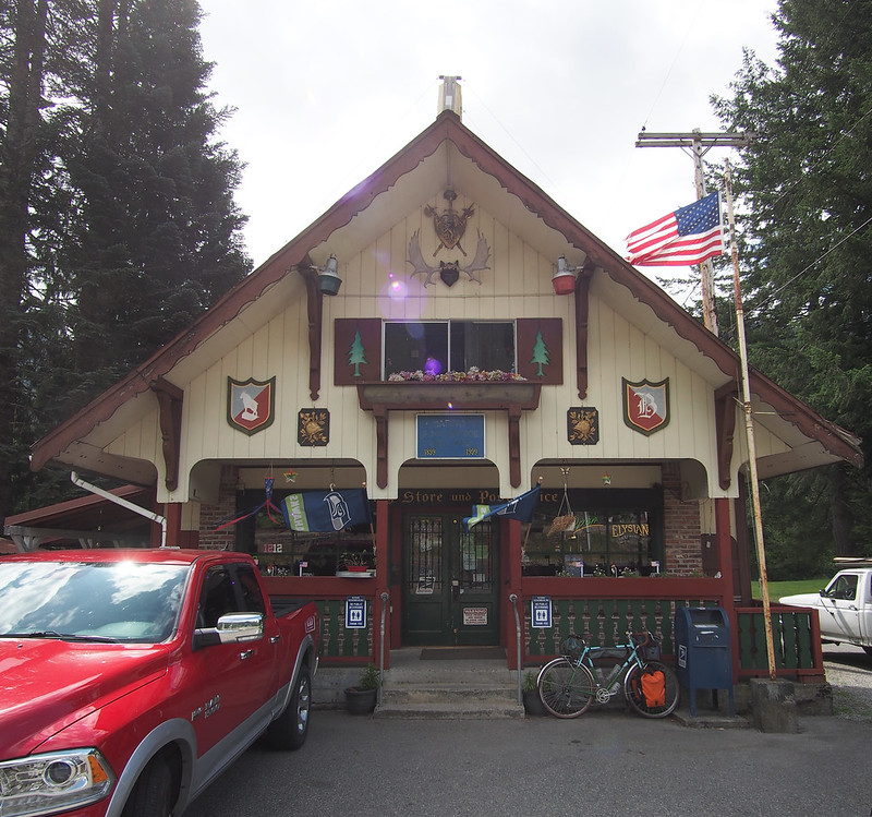
There are businesses west of Stevens Pass that I could swear are trying to copy Leavenworth's Bavarian design.
— 竹下憲二 (@takeshita_kenji) August 18, 2019
I was surprised to find that it actually had a local library, though it was only open three days a week.
The #Skykomish #library is only open 3 days a week. #smalltownlife #bicycle @ Skykomish, Washington https://t.co/z76Kye8OvR
— 竹下憲二 (@takeshita_kenji) August 17, 2019
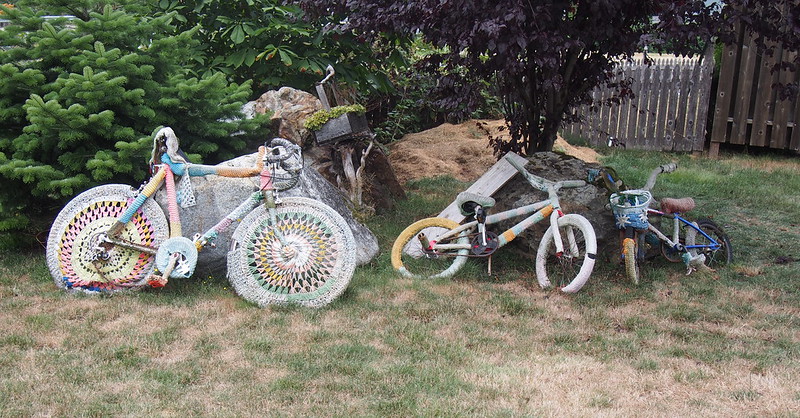
I dropped my bike off at the Cascadia Inn before walking around town some. I explored the local farmers' market, saw some yarn-bombed bikes, and chatted with the local toy store's owner who was really excited about the Great Northern Criterium. When I mentioned how I got to Skykomish, he kept insisting that I check out something called Cherry Valley Road near Carnation as an alternative route to Sultan, and that one of the local bar's employees was familiar with the route. He also was excited about recent improvements to a local park.
Looks like #yarnbombing is a live and we'll here. #yarnbomb #bicycle @ Skykomish, Washington https://t.co/vUekyVBoed
— 竹下憲二 (@takeshita_kenji) August 17, 2019
The guy who runs the toy shop was telling me about Music in the Park at a very nice, recently renovated park east of town.
— 竹下憲二 (@takeshita_kenji) August 17, 2019
He also kept insisting that there was something called Cherry Valley Road out of Duvall that provides a good alternative to much of US 2, but I don't see it on OSM. #cycling
— 竹下憲二 (@takeshita_kenji) August 17, 2019
He was also enthusiastic about the bike race they first held this year in Skykomish.
— 竹下憲二 (@takeshita_kenji) August 18, 2019
After I asked for a table at the inn's restaurant, I saw a guy rolling into town on a Soma Double Cross Disc, so I asked for the hostess to hold my table and went out to chat with him. He said he used to work for the railroad and was riding from Seattle to Wenatchee, where his car was parked. We talked bike and rides for a while, and I mentioned that I'd hoped to beat traffic on my return trip the next day. He wasn't so sure, because some folks go to church pretty early, but he thought I'd avoid RVs and other recreational visitors heading back into the lowlands. I had to break the conversation because I was pretty hungry, and because I'd left the hostess at the restaurant hanging.
A guy rolled in on a Double Cross Disc. He took the train from Wenatchee to Everett, and is riding back to Wenatchee over the pass. Told him about some US 2 alternatives out west. #cycling
— 竹下憲二 (@takeshita_kenji) August 17, 2019
He said he used to work for the railroad and the last time he was in town was 20 years ago.
— 竹下憲二 (@takeshita_kenji) August 17, 2019
Theo (the guy with the Double Cross) was wearing a "bikeverywhere" shirt.
— 竹下憲二 (@takeshita_kenji) August 18, 2019
His bike also had @Gevenalle shifters, though they were old enough to be branded "Retroshift".
— 竹下憲二 (@takeshita_kenji) August 18, 2019
I had what the restaurant called a "hot meatloaf sandwich" for dinner, which was more akin to meatloaf and gravy over slices of bread, mashed potatoes, and a Caesar salad. Very tasty!
Once done with dinner, I headed over to the bar, where I found both the toy store's owner and the bar employee he had been talking about. Said employee said that the route was Forest Service Development Road 62, and that it didn't quite get to Carnation but did get to North Bend. He also said it required a permit from Weyerhaeuser, and later investigation showed that the restriction had been in place due to unruly people leaving trash everywhere.
He said to ask at the bar here, and when I stopped at the bar, he was here and got the attention of the bartender who's familiar with it. The road in question is Forest Service Development Road 62.
— 竹下憲二 (@takeshita_kenji) August 17, 2019
Looks like it used to be open to the public, but was closed in 2009. You can still get in with a permit, though. https://t.co/EjxTwGjf3S
— 竹下憲二 (@takeshita_kenji) August 17, 2019
Once done with my drink at the bar, I headed to the inn's bathroom for a shower, where I ended up striking up a conversation with the guy with the Double Cross for a good 20-30 minutes. An older gentleman joined our conversation, telling how he was in the middle of a through hike from Mexico to Canada. He said that he wasn't doing it in a solid block, but rather would take shuttles/buses to nearby major cities to check them out along the way before returning to the trail. He was also excited to go bikepacking in Vietnam on his new bikepacking bike. He also told of a guy whose wife had left him after two of those through hikes within the space of a year.
While I was chatting with him in the hall a 20 or so minutes ago, an older guy joined in the conversation. He said he was doing a through hike of the Pacific Coast Trail, but he was doing it in a much more chill way than I'd ever heard of.
— 竹下憲二 (@takeshita_kenji) August 18, 2019
And the through hiker was talking about bikepacking in Vietnam.
— 竹下憲二 (@takeshita_kenji) August 18, 2019
I ended up breaking the conversation when I left, as we all wanted to shower. After showering and brushing my teeth, I headed to bed, in love with the town of Skykomish.
Pretty sure #Skykomish is my favorite town.
— 竹下憲二 (@takeshita_kenji) August 17, 2019
I think part of it is because there are a lot of nice townsfolk, folks interested in outdoor activities, and weary travellers passing through. My kind of people!
— 竹下憲二 (@takeshita_kenji) August 18, 2019
They even have a shuttle that runs to and from the pass to bring hikers into town.
— 竹下憲二 (@takeshita_kenji) August 18, 2019
Day 3: Return Home
Inbound
I started my return trip on US 2 early at 05:00 to avoid traffic as much as possible.
Aside from a little drizzle here and there, and how fast I was descending the whole way to Gold Bar, it was pretty quiet and uneventful. I had to stop to use the restroom a lot as I wasn't consuming enough salt to balance out my water intake, which was pretty irritating.
I made a quick stop at the grocery store in Gold Bar to top off my water and get a soda.
Surprised to see this place open so early on a Sunday. (@ Gold Bar Family Grocer in Gold Bar, WA) https://t.co/nfH1yQ6jR5
— 竹下憲二 (@takeshita_kenji) August 18, 2019
I then passed through Startup and Sultan, where I got a better look at the construction of the new bike/pedestrian bridge on the north side of US 2.
The bike/pedestrian #bridge construction is underway! #sultanwa #cycling @ Osprey Park https://t.co/ZKnSJATyLm
— 竹下憲二 (@takeshita_kenji) August 18, 2019
Traffic started to get worse by the time I got to Sultan, but I got another reprieve on Fern Bluff Road.
When I got into Monroe, I realized that I'd forgotten to route myself around the US 2/SR-522 interchange, but traffic was light enough that I was able to just go through it like a car.
Kind of funny how the 5-8 lane monster that is US 2 in Monroe narrows down to 2 lanes only a couple miles both east and west.
— 竹下憲二 (@takeshita_kenji) August 18, 2019
I saw the modifications to US 2 up close as I rode between Snohomish and Monroe. I didn't stick with the highway through Snohomish this time, however, instead going through Downtown Snohomish and taking Lowell River Road.
Less than 10 miles! #cycling #bicycle #bicycletouring #biketouring #snohomish @ Historic Downtown Snohomish https://t.co/11HU7VZvU2
— 竹下憲二 (@takeshita_kenji) August 18, 2019
At this point, I had a very good rhythm, so it didn't take very long to get to Everett. I didn't have a very long wait for the bus, either.
Checkpoint! (@ Everett Station - @everettcity in Everett, WA) https://t.co/KngSEfBykD
— 竹下憲二 (@takeshita_kenji) August 18, 2019
The coin box on this bus got stuck earlier, but a nasty bump on I-5 knocked its contents loose.
— 竹下憲二 (@takeshita_kenji) August 18, 2019
Return Home
When I got off the bus in the University District, the bright, blue sky caught me off guard. I hadn't seen any significant amount of the Sun since Friday!
Wow, it sure is sunny down here! (@ University District in Seattle, WA) https://t.co/UHJ4TUDVe6
— 竹下憲二 (@takeshita_kenji) August 18, 2019
I didn't see the Sun at all up north!
— 竹下憲二 (@takeshita_kenji) August 18, 2019
I had to stop to use the restroom one last time at Gasworks Park. Before doing so, I saw a guy who had both a half frame bag and a large Rivendell trunk bag. He said he was in the middle of a mini tour between Lake Stevens an Alki to visit family, who would be taking him back home to Lake Stevens later. Sounds like something I'd do!
Just chatted with a guy who had both a half frame bag and a huge trunk bag. He said he was in the middle of a mini tour from Lake Stevens to Alki. #cycling #seabikes
— 竹下憲二 (@takeshita_kenji) August 18, 2019
It didn't take long for me to get home from there, and I was pretty happy to get a chance to relax again.
All done!
— 竹下憲二 (@takeshita_kenji) August 18, 2019
This trip ended up being even more of a life experience than I thought. I don't think I'll ever forget it, just like my tour across the state back in 2015. It also cemented my desire to move out of the city, and folks I talked to in Skykomish said they left the Seattle area for the mountains for similar reasons to mine.
That climb up to Stevens Pass is burned into my memory because of how long and sweaty it was. #cycling
— 竹下憲二 (@takeshita_kenji) August 17, 2019














































No comments:
Post a Comment