A fun birthday treat!
More after the break…
Related albums:
Part 1: To Ferry
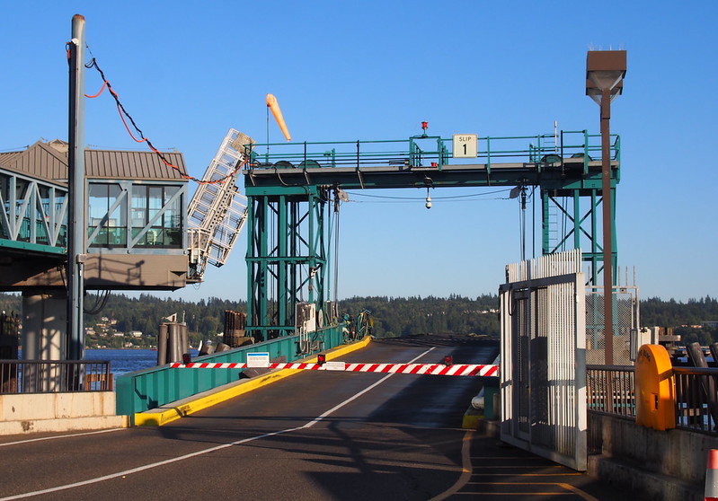
I started at about 05:00 and headed to the ferry terminal downtown. While I could've taken an earlier ferry as it was a weekday, I decided it wasn't necessary.
Heading out this way. (@ Seattle Ferry Terminal in Seattle, WA) https://t.co/ldn29KiYp7
— 竹下憲二 (@takeshita_kenji) August 5, 2016
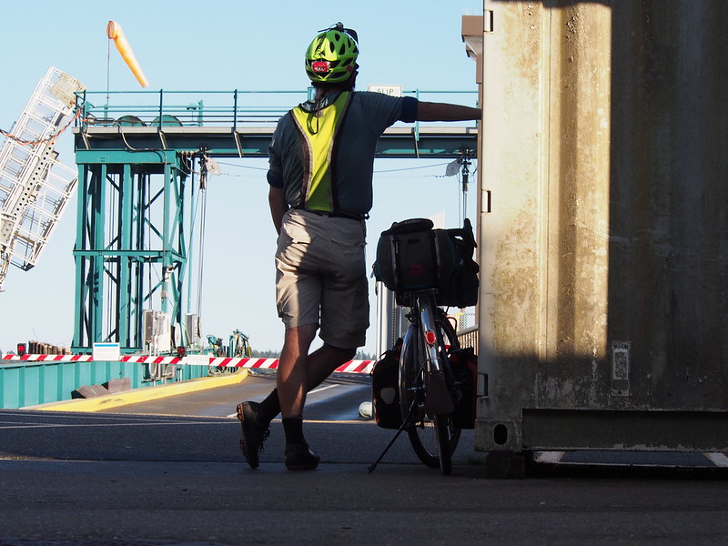
Another cyclist pulled up while I waited, and I chatted with her both at the terminal and on the ferry.
Chatted with an older woman who rides a Soma San Marcos she got from FreeRange Cycles, my currently main bike shop.
— 竹下憲二 (@takeshita_kenji) August 5, 2016
She was on her commute to Bainbridge. We discussed long rides, and she said she usually didn't do them alone like I did. The bicycle museum in Winslow came up in our conversation, and she mentioned wanting to go, but her work hours prevented her from doing so normally.
Part 2: Outbound
When I got off the ferry, I was stuck behind a guy who wouldn't switch to his lower gears to climb the steep hills. Traffic to our left prevented me from passing. He eventually turned of, thankfully.
Lots of people seem to prefer suffering up long hills (working hard) over using their little ring (working smart).
— 竹下憲二 (@takeshita_kenji) August 5, 2016
@zachshan And a ring somewhere between 36t and 40t.
— 竹下憲二 (@takeshita_kenji) August 5, 2016
As I rode, I saw many bicycle commuters around SR-305. It does seem like it'd be a nice commute, far away from the suburban sprawl cyclists on the mainland have to deal with.
Lots of cyclists on Bainbridge Island.
— 竹下憲二 (@takeshita_kenji) August 5, 2016
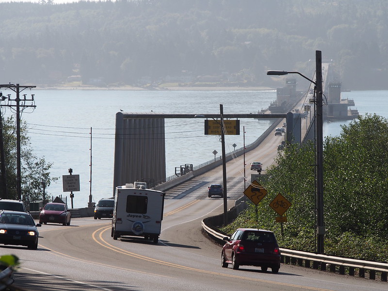
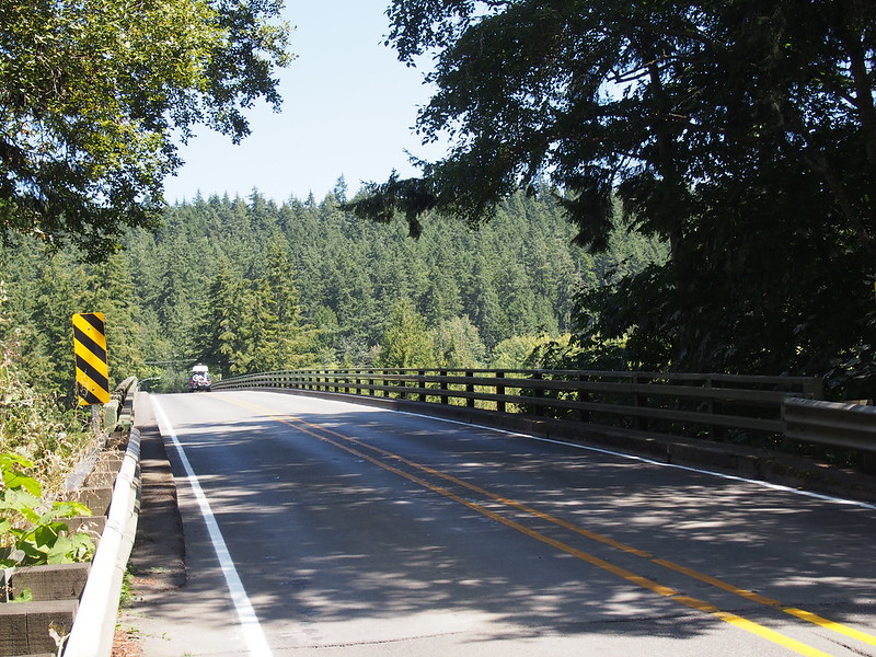
As I descended toward Agate Pass, I saw a "CYCLISTS ON BRIDGE" sign with lights that started flashing as I rode on the shoulder.
There was a cool flashing light system for bicycles on the Agate Pass Bridge.
— 竹下憲二 (@takeshita_kenji) August 5, 2016
@takeshita_kenji I think that's thanks to @SqueakyWheelsBI
— She Rides A Bike (@SheRidesABike) August 5, 2016
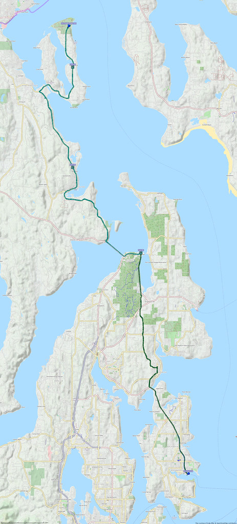
Unlike last time, I took Port Gamble Road across the Kitsap Peninsula, which involved quite a bit of climbing. There was also more traffic than I'd expected, but it was a week day after all.
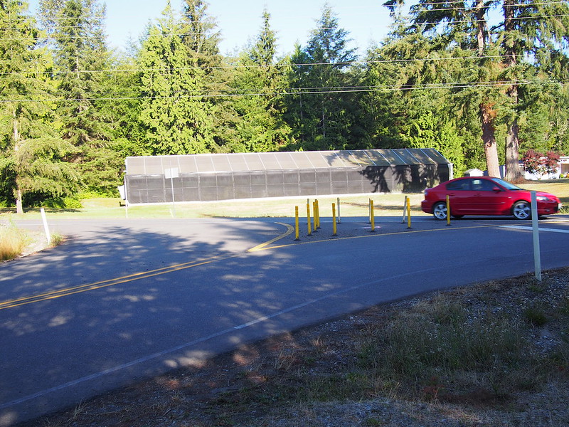
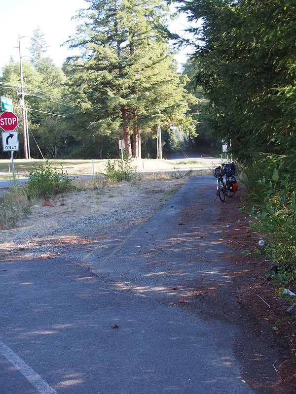
Something that caught my attention was how the intersection of Port Gamble Road and SR-307 didn't allow the former's traffic to cross the latter. I recall when that wasn't the case, but I don't have any photos from back then.
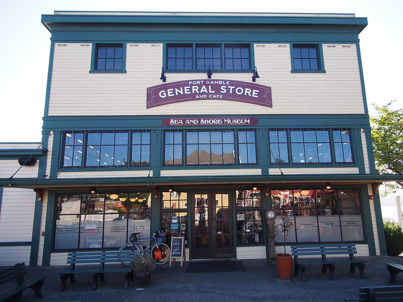
I'm at Port Gamble General Store and Cafe in Port Gamble, WA https://t.co/T88D13y8mh
— 竹下憲二 (@takeshita_kenji) August 5, 2016
At Port Gamble, I unexpectedly saw a familiar face.
A co-worker pulled into Port Gamble with his family while I was there. They were on their way to camp on the Olympic Peninsula.
— 竹下憲二 (@takeshita_kenji) August 6, 2016
My coworker said that I looked more buff than he remembered.
— 竹下憲二 (@takeshita_kenji) August 6, 2016
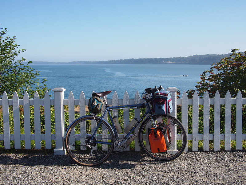
I left Port Gamble via SR-104, heading across the Hood Canal Bridge. I then started the steepest climb of my ride, which actually wasn't too bad.
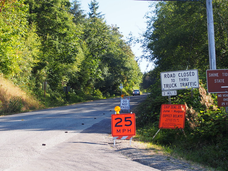
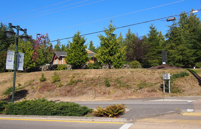
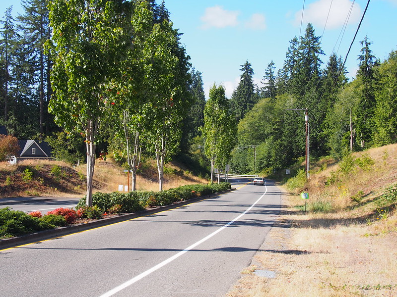
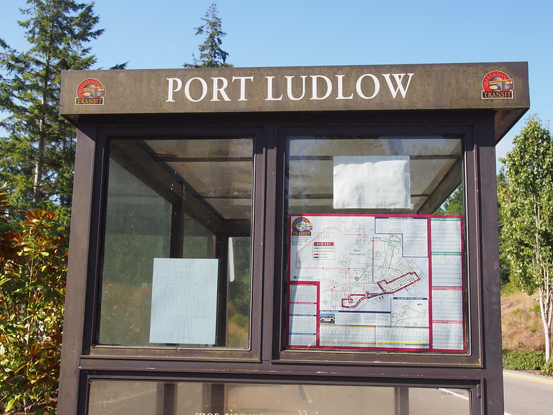
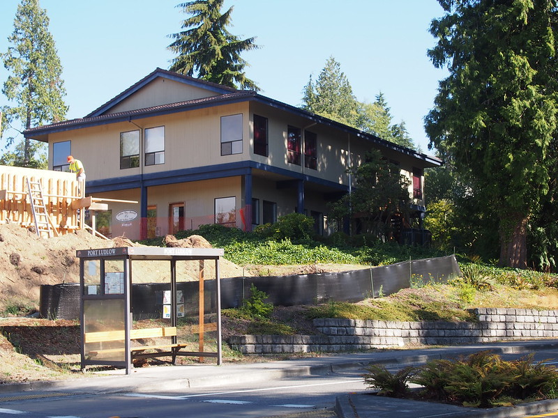
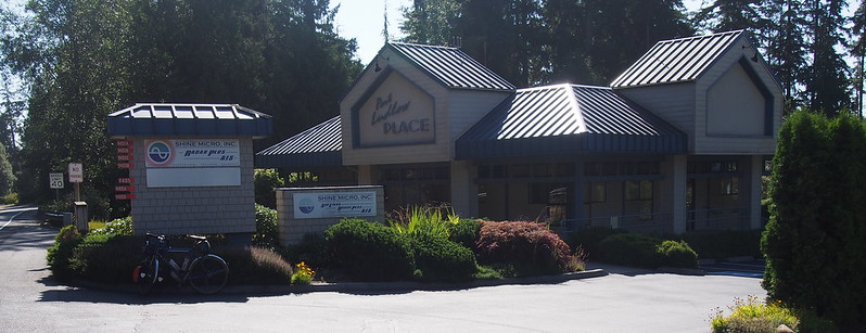
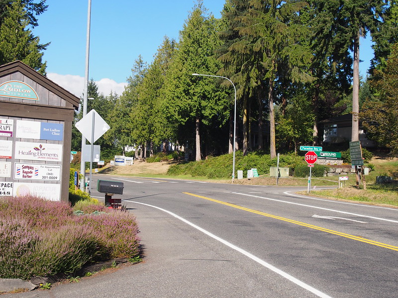
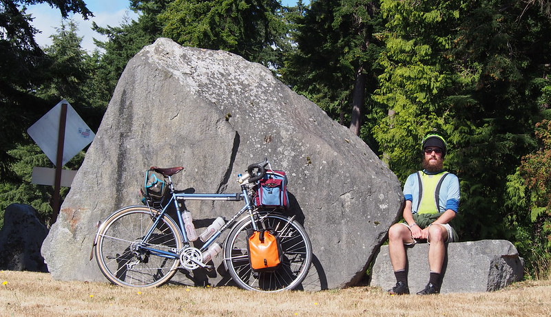
After a lot of climbing and descending on Paradise Bay Road, I made my way into Port Ludlow. I thought I'd hit the town when I saw the bank, but the actual town was maybe a half-mile further on.
An older guy was headed the other way up a steep, long hill. He just did it out of the saddle.
— 竹下憲二 (@takeshita_kenji) August 5, 2016
Wow, this place barely exists. (@ Port Ludlow in Port Ludlow, WA) https://t.co/M64FnyeGWO
— 竹下憲二 (@takeshita_kenji) August 5, 2016
Never mind. Found the rest of it.
— 竹下憲二 (@takeshita_kenji) August 5, 2016
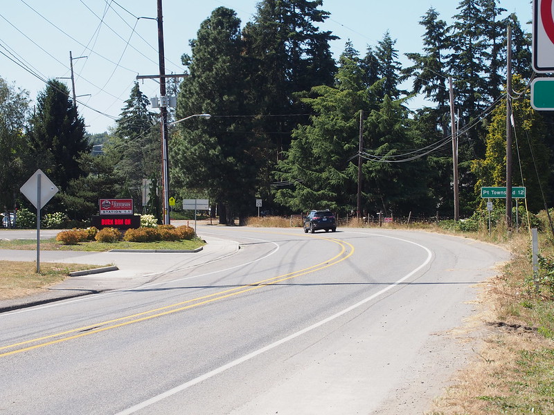
This is not the easiest way to Port Townsend!
— 竹下憲二 (@takeshita_kenji) August 5, 2016
After a little more climbing on Oak Bay Road, I got a better view and saw what appeared to be a resort and marina.
When I stopped to eat in front of a business, one of the employees asked me if I needed anything, such as water.
— 竹下憲二 (@takeshita_kenji) August 6, 2016
Their cat also hung around me for a while, at a distance.
— 竹下憲二 (@takeshita_kenji) August 6, 2016
I continued my way along Oak Bay Road to SR-116. When I stopped to make an adjustment, I saw that my 6mm hex bit had disappeared again. What a pain!
Lost yet another screwdriver hex bit. This is becoming rather stupid.
— 竹下憲二 (@takeshita_kenji) August 5, 2016
Going to get a 1/4" square drive bit instead. They tend to be more secure.
— 竹下憲二 (@takeshita_kenji) August 5, 2016
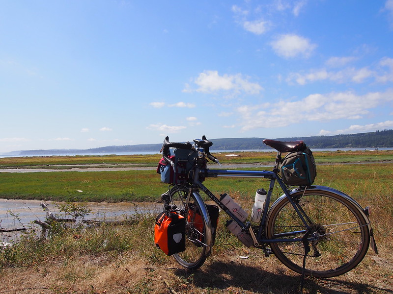
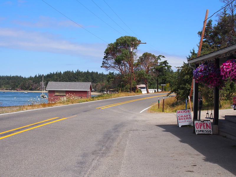
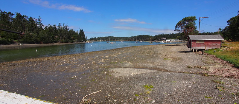
At SR-116, I hung a right to go along the southern end of Indian Island, then to Marrowstone Island.
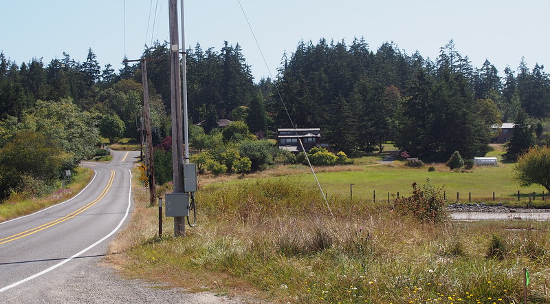
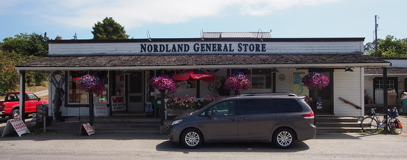
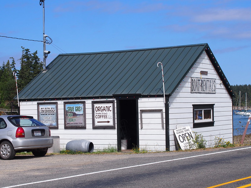
Heading north, I made my way through the town of Nordland.
Not much mobile phone reception out on the Sound.
— 竹下憲二 (@takeshita_kenji) August 5, 2016
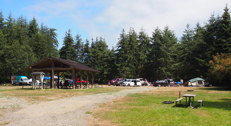
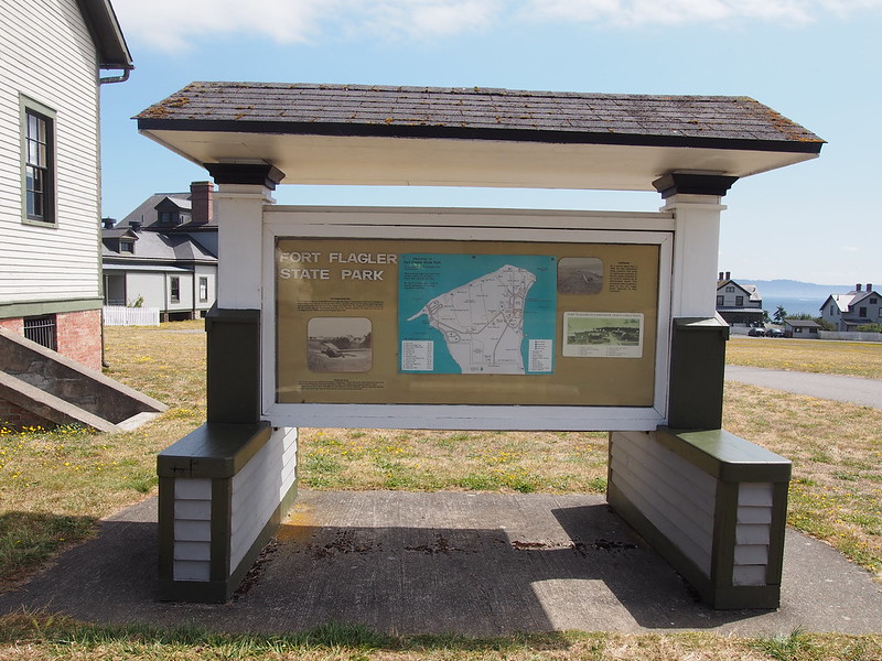
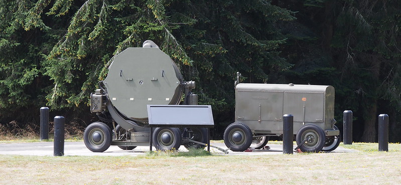
Then entered Fort Flagler State Park. The lady running the registration booth confirmed what the State Parks site says: non-motorized modes of transport don't need the pass. Nice!
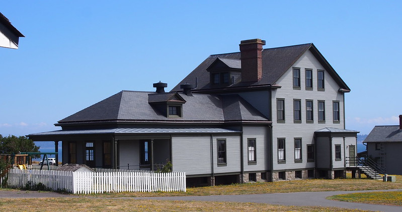
After heading to the campground area, I realized that I'd need to turn back to visit the old military buildings. While doing so, I got the odd feeling of deja vu, that I'd been to the park as a child. (My father couldn't confirm nor deny it when I asked a couple days later.)
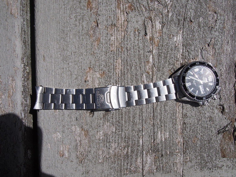
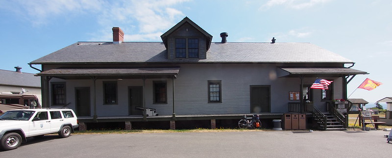
When I got to the old buildings, I put a lot of effort into getting a good shot with my camera's telephoto lens and its timer across the street. After trying a few times—and breaking my watch band—I realized that it wouldn't pan out.
Apparently even 1.8mm spring bars aren't even strong enough for my active lifestyle. Will seek a different style of band.
— 竹下憲二 (@takeshita_kenji) August 5, 2016
Thankfully, a park employee obliged.
After seeing me struggle to get a picture with my camera's timer, a staff member at Flagler State Park offered to take it for me.
— 竹下憲二 (@takeshita_kenji) August 5, 2016
Part 3: Inbound
Since I was done at the park, I headed back the way I came to the peninsula. I had a nice tailwind at this point.
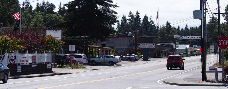
At Port Hadlock, I got some coffee to help me head south.
I'm at Port Hadlock, WA in Port Hadlock, WA https://t.co/YjteZHvSub
— 竹下憲二 (@takeshita_kenji) August 5, 2016
After consulting my GPS, I was both amused and relieved when I saw that my route didn't involve going to Port Townsend.
Maybe a quarter mile down the road, I saw a hardware store. When I signaled to turn in using standard hand signals, a young female driver waiting to enter traffic was confused until I turned. "Oh, that's what that means." I guess drivers' ed is pretty ineffective!
Unfortunately, I didn't have any luck finding what I needed at the hardware store. The guy I asked suggested going to Napa, but I didn't know where one was and didn't put any effort into locating one.
Tried to find a 6mm hex bit at the hardware store in Port Headlock, but they didn't have anything Metric.
— 竹下憲二 (@takeshita_kenji) August 5, 2016
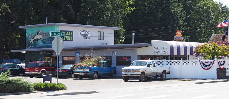
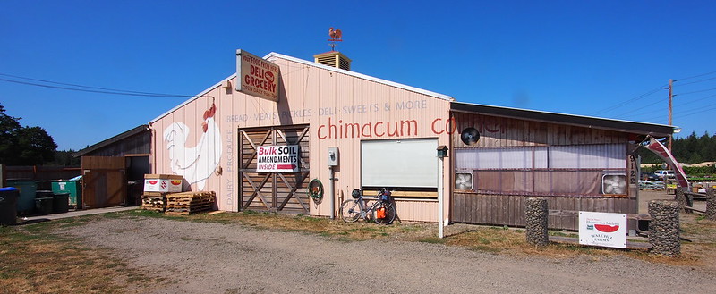
I headed to SR-19, then started on my way south through Chimacum, where I saw an older guy on a Lynskey titanium road bike.
Lots of older folks out riding fancy road bikes.
— 竹下憲二 (@takeshita_kenji) August 5, 2016
While I've been through the Beaver Valley a number of times in the past, I can't recall ever heading south through it like I was this time.
Right before I got here a guy was riding the other way on a bike loaded down with all sorts of stuff. Hopefully the weather stays good.
— 竹下憲二 (@takeshita_kenji) August 5, 2016
At the Jefferson County Visitors' Center, I stopped too use the restroom. The volunteer curator was talking about the old steel industry in Irondale to some visitors when I asked him if there was a restroom there.
I then took SR-104 across the Hood Canal Bridge and started on my way down SR-3 to Bremerton. I stopped for some more coffee at the usual spot there, too. (I'd also previously chatted with some bicycle tourists over coffee there, for example.)
Stopped for coffee at the usual stand north of Poulsbo. Chatted with a friend of the barista for a while.
— 竹下憲二 (@takeshita_kenji) August 6, 2016
Traffic wasn't too heavy at all, which was nice.
SR-3 is fun: a mix of riding the draft vortices from cars and standing on the pedals while climbing small rises.
— 竹下憲二 (@takeshita_kenji) August 6, 2016
After using SR-3 to avoid the steep ridge north of Silverdale, I dropped into Silverdale via its local roads.
Going to take the local road to Bremerton, though, as SR-3 isn't as fun between the two cities.
— 竹下憲二 (@takeshita_kenji) August 6, 2016
I'm at @Walgreens in Silverdale, WA https://t.co/W7cUUVHBdS
— 竹下憲二 (@takeshita_kenji) August 6, 2016
I took Northlake Way for an easy 2% limb around Kitsap Lake, then followed Kitsap Way through Bremerton to the ferry terminal. Unfortunately, I didn't make it in time.
Barely missed it, but that's okay. (@ Bremerton Ferry Terminal in Bremerton, WA) https://t.co/TWY4BxKZyu
— 竹下憲二 (@takeshita_kenji) August 6, 2016
While waiting, I got some ice cream to celebrate, which was nice after being out in hot weather all day.
I'm at @ColdStone Creamery in Bremerton, WA https://t.co/M0DiVfmmLN
— 竹下憲二 (@takeshita_kenji) August 6, 2016
Another cyclist showed up shortly before the ferry arrived, and we talked about routes a bit. Another guy on a moped also showed up, too, which surprised me as I had no idea they counted as bicycles to Washington State Ferries.
Been chatting with another cyclist from Ballard on the ferry.
— 竹下憲二 (@takeshita_kenji) August 6, 2016
Part 4: Return Home
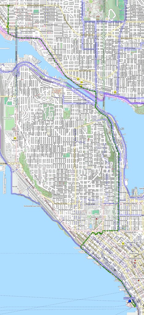
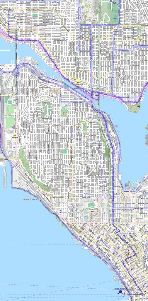
While I took a different route from what the other cyclists took to get north out of downtown, I did see the moped rider on Dexter Avenue before he dropped me.
Not a long ride for me, but I feel like I learned a lot about what my knees want.
— 竹下憲二 (@takeshita_kenji) August 6, 2016
Moving the saddle back seems to do a lot of good for my feet and knees.
— 竹下憲二 (@takeshita_kenji) August 6, 2016
And when I got home, I was ready for a shower and bed.
I like purple thread locker.
— 竹下憲二 (@takeshita_kenji) August 6, 2016
The Burke-Gilman Trail is supposedly going to be closed in Fremont today. Thankfully, I did my big ride yesterday.
— 竹下憲二 (@takeshita_kenji) August 6, 2016
I wonder if all of my #cycling has caused my body's handling of electrolytes to change, as I have to go pretty overboard even on rest days.
— 竹下憲二 (@takeshita_kenji) August 6, 2016
I don't get those nasty, non-alcohol hangovers in the morning anymore, though, since I started monitoring my electrolyte levels better.
— 竹下憲二 (@takeshita_kenji) August 6, 2016









No comments:
Post a Comment