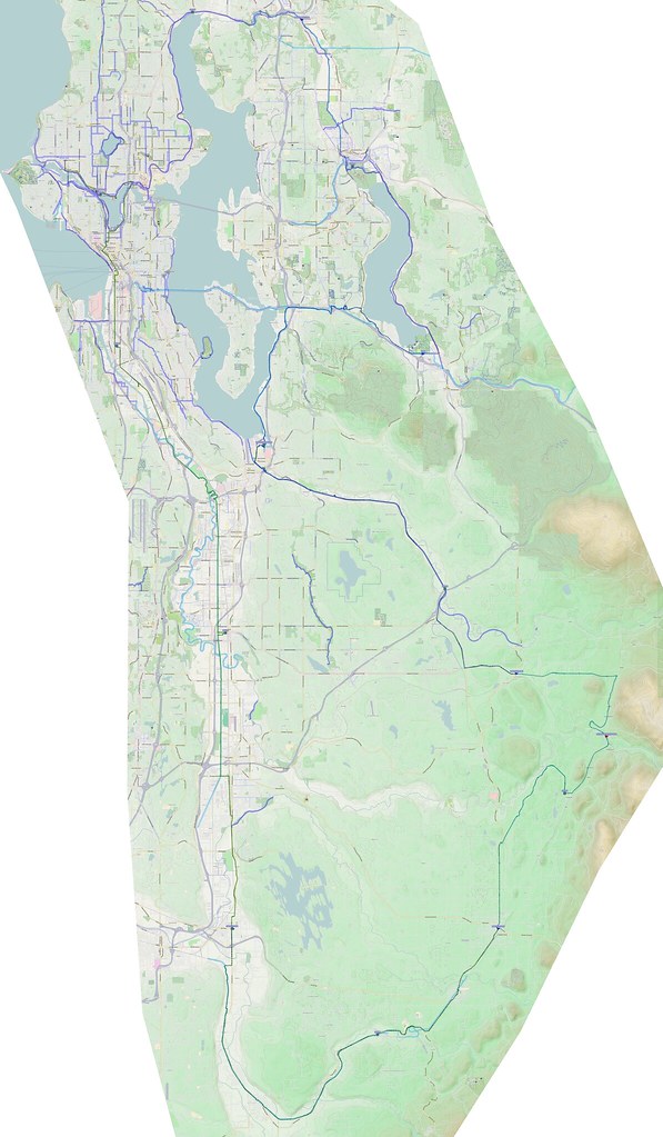
A long ride covering a number of bits of bicycle infrastructure.
The trails involved:
- Burke-Gilman Trail
- Interurban Trail
- C Street Trai
- Foothills Trail
- Cedar River Trail
- I-90 Trail
- West Lake Sammamish Parkway Trail
- Sammamish River Trail
- Burke-Gilman Trail
And relevant albums:
Note: I recently updated my system, and the new version of Viking I ended up with is unable to generate the large maps, so I had to do the one above in pieces. Due to the time required for just that one, there won't be per-section maps.
More after the break…
Part 1: The Valley
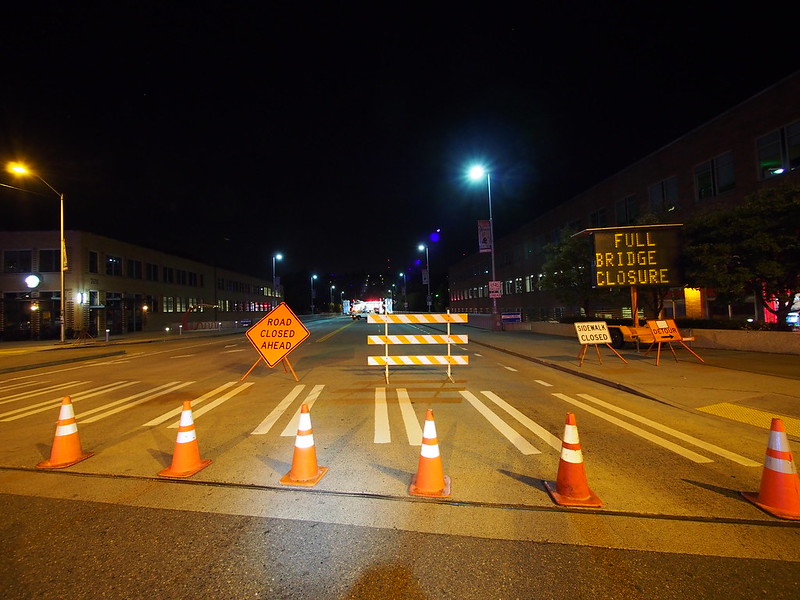
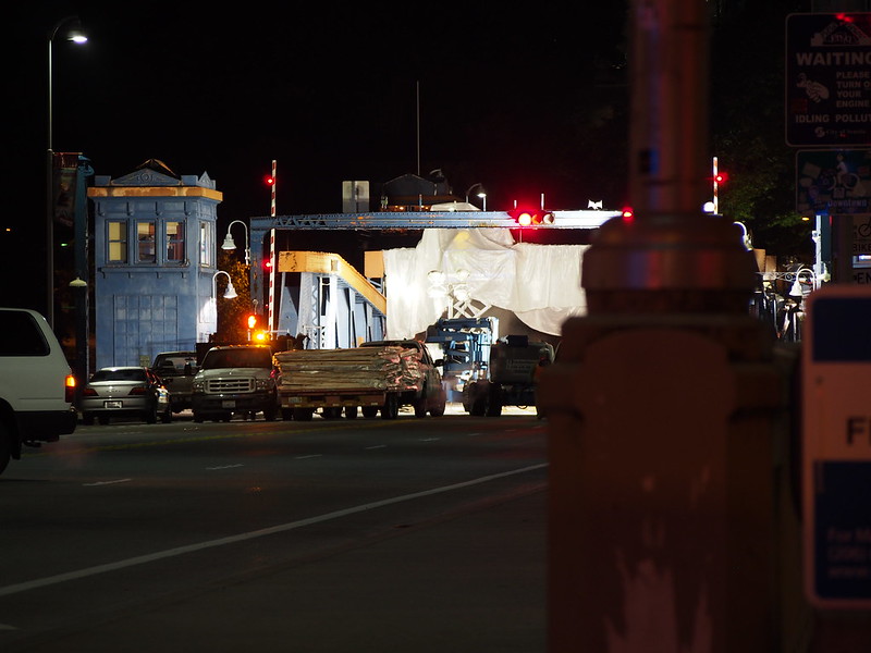
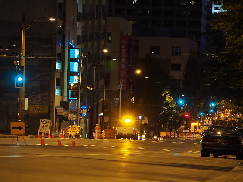
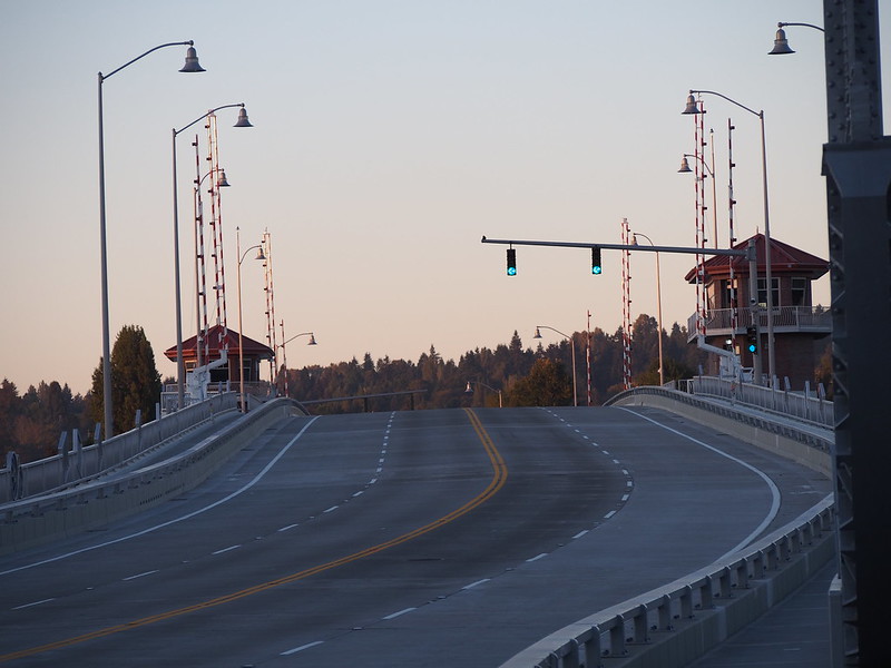
I started at just after 05:00 and had to take an odd route due to the Fremont Bridge repainting.
I had to take a weird route to get here because construction closed all the normal routes for me. #seabikes
— 竹下憲二 (@takeshita_kenji) September 6, 2014
The 2nd Ave bike lane upgrade didn't get in the way, though, because I never took that old skinny lane. #seabikes
— 竹下憲二 (@takeshita_kenji) September 6, 2014
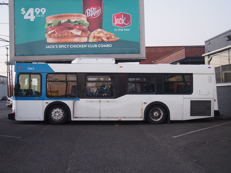
I saw an auctioned off Community Transit D30LF here. The destination sign read, "WELCOME ABOARD."
— 竹下憲二 (@takeshita_kenji) September 6, 2014
I also stopped near the South Park Bridge since I hadn't gotten photos of it since it was rebuilt.
Based on the forecast, I was hoping for a tailwind. No such luck.
— 竹下憲二 (@takeshita_kenji) September 6, 2014
When planners design bicycle infrastructure as though it is sidewalks, it only shows how little they care and understand. #cycling
— 竹下憲二 (@takeshita_kenji) September 6, 2014
When I hit Auburn, I jumped over to the C Street Trail, then the West Valley Highway to get to Sumner just like last time. I got a decaf iced coffee there.
I'm at Starbucks in Sumner, WA https://t.co/Ek3Tz6lVW3
— 竹下憲二 (@takeshita_kenji) September 6, 2014
I was trying to spin ultra-fast like on the recent caffeinated runs, but it wasn't easy.
Not feeling too hot.
— 竹下憲二 (@takeshita_kenji) September 6, 2014
Part 2: The Foothills
From Sumner, I took SR-162 to the Foothills Trail like normal.
New cadence appears go be causing blood oxygen issues. #cycling
— 竹下憲二 (@takeshita_kenji) September 6, 2014
The scene on the trail was fairly typical: squeaky chains, folks riding at barely above walking spead while meandering, folks rocking left and right as they pedaled, and bad hand positions on drop bars.
When I got to South Prairie, I had a nice chat with a couple others who were resting there. The guy has gone on tough rides not limited to those going over mountain passes. He knew the value of a good range of gear ratios on a bicycle.
I chatted with an older couple about #cycling at the trailhead there. The guy has done some seriously tough rides.
— 竹下憲二 (@takeshita_kenji) September 6, 2014
From there, I climbed up the normal route out of the town to Buckley. It was a bit eventful.
A bee was sucked in by my huffing and puffing as I climbed out of South Prairie and stung the roof of my mouth before I spat it out.
— 竹下憲二 (@takeshita_kenji) September 6, 2014
Thankfully, the stinger didn't stay in. It only felt like I had a sore throat for several hours.
Some know-it-all in a Prius told me to ride on the trail. "Trail doesn't connect," is what I said as the sections out here are disjoint.
— 竹下憲二 (@takeshita_kenji) September 6, 2014
@takeshita_kenji I dodge about 5 car doors a year, they all tell me where to ride, they drive all kinds of cars, they are all idiots.
— Historical Visionary (@HIST0RICAL) September 6, 2014
@Taeshi Pretty much how I see the motorists who tell me where to ride. Happens about once a month. @HIST0RICAL
— 竹下憲二 (@takeshita_kenji) September 7, 2014
@takeshita_kenji@Taeshi MotorIdiots are a huge pet peeve. I have stories of fights, chases, & embarrassing them. Most of them run.
— Historical Visionary (@HIST0RICAL) September 7, 2014
The guy even slowed down and started flashing his hazard lights. Why can't they just leave me alone? The shoulder was wide and I wasn't even in the way!
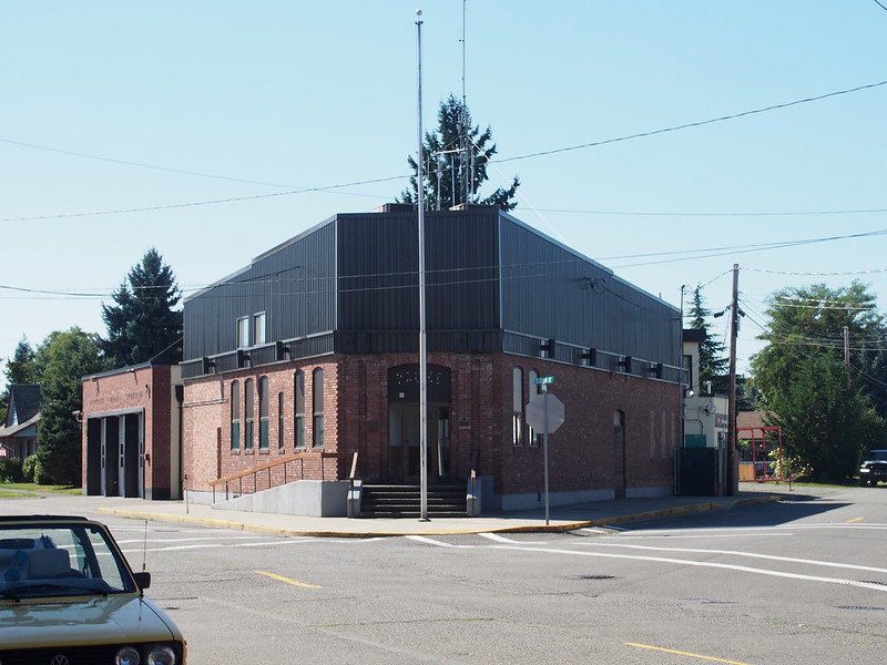
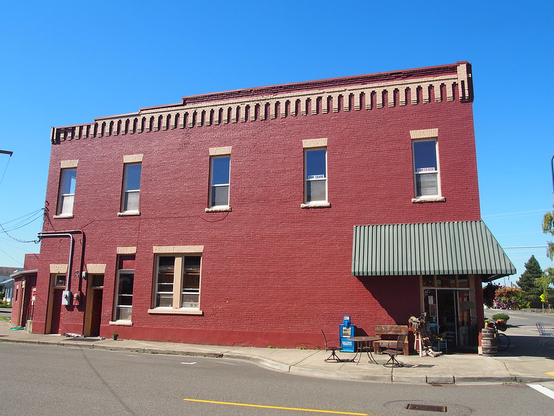
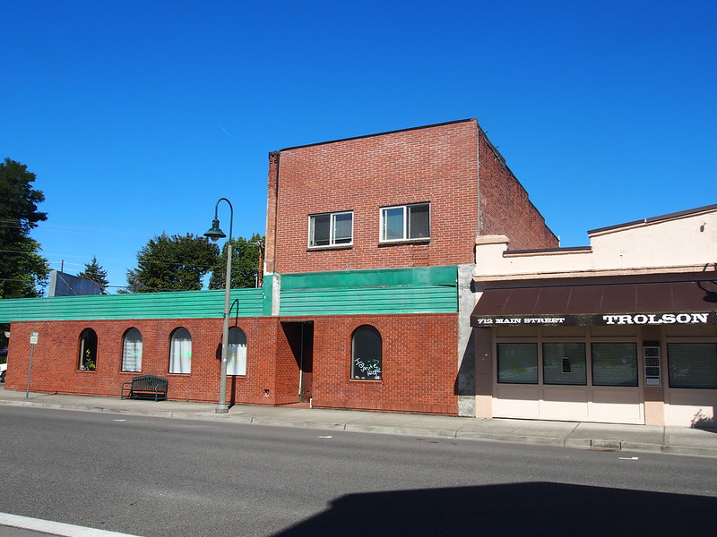
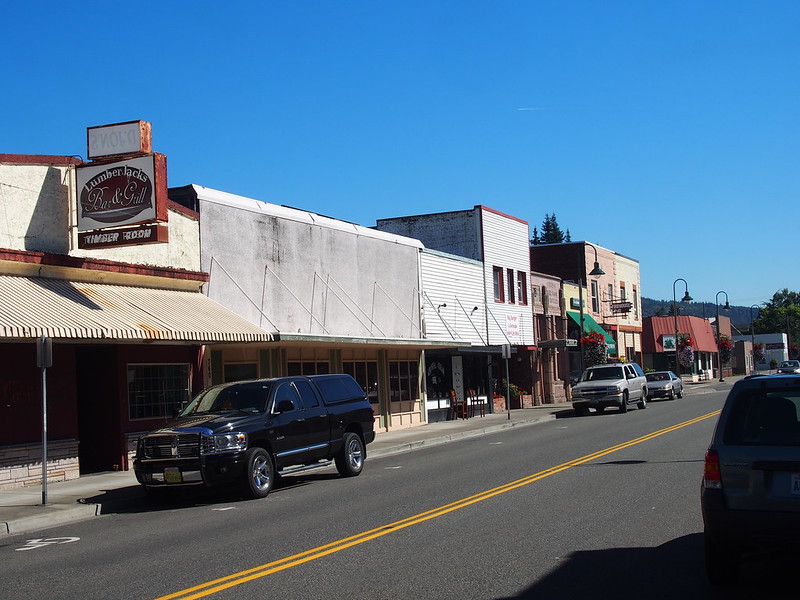
I took some more photos of downtown Buckley, which was as dead as I remembered.
When I got to Enumclaw, I stopped at a cafe/bookstore for water and a small fruit smoothie.
Time to switch to using all three of the bottles I brought.
— 竹下憲二 (@takeshita_kenji) September 6, 2014
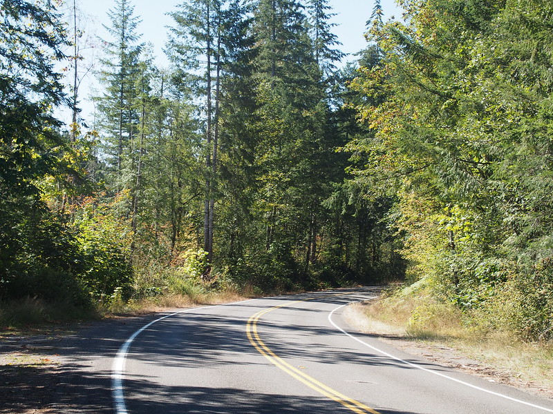
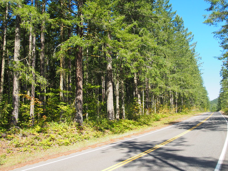
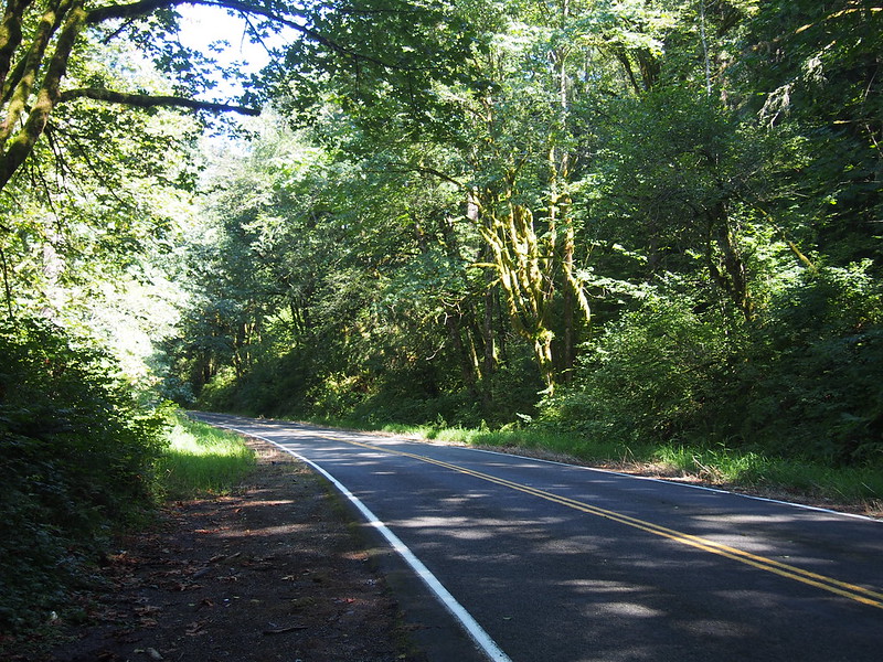
I exited Enumclaw along SR-165, but left on Enumclaw–Franklin Road.
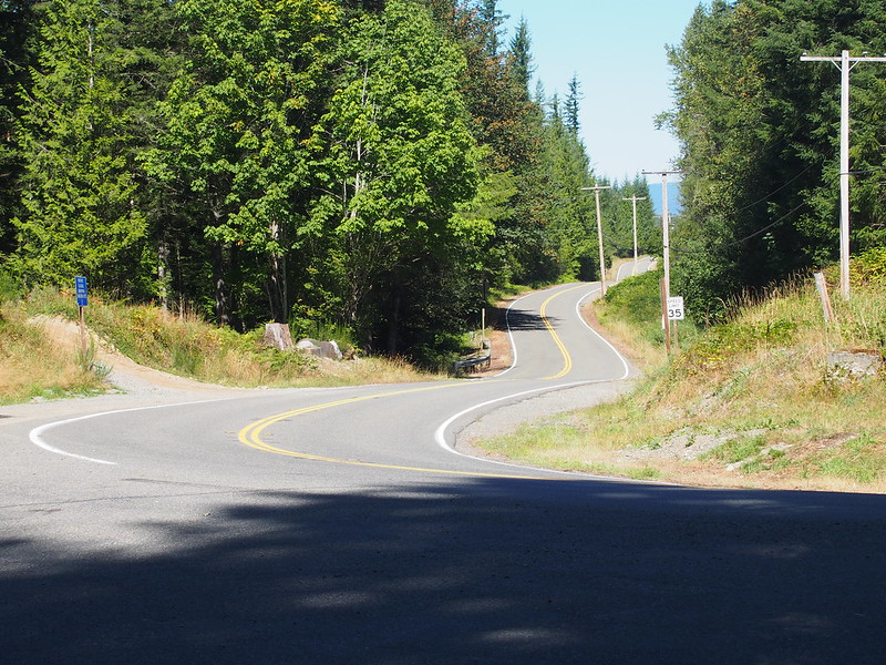
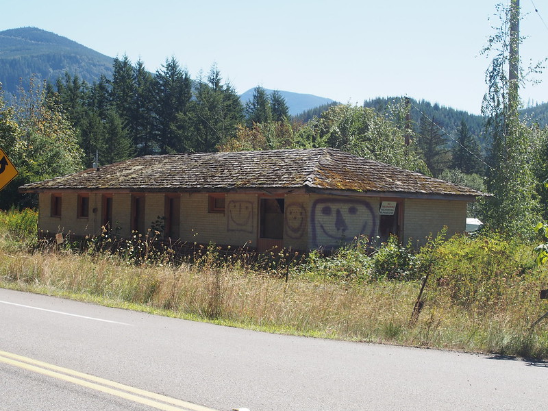
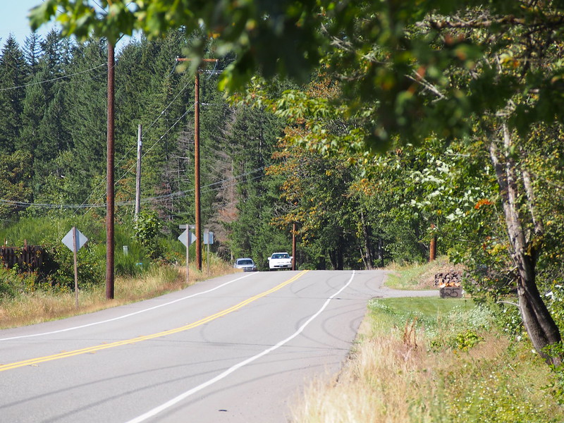
Enumclaw–Franklin Road had pavement in better shape than Seattle's roads, yet it warranted a "ROUGH PAVEMENT AHEAD" sign.
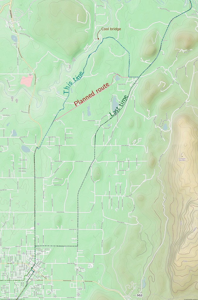
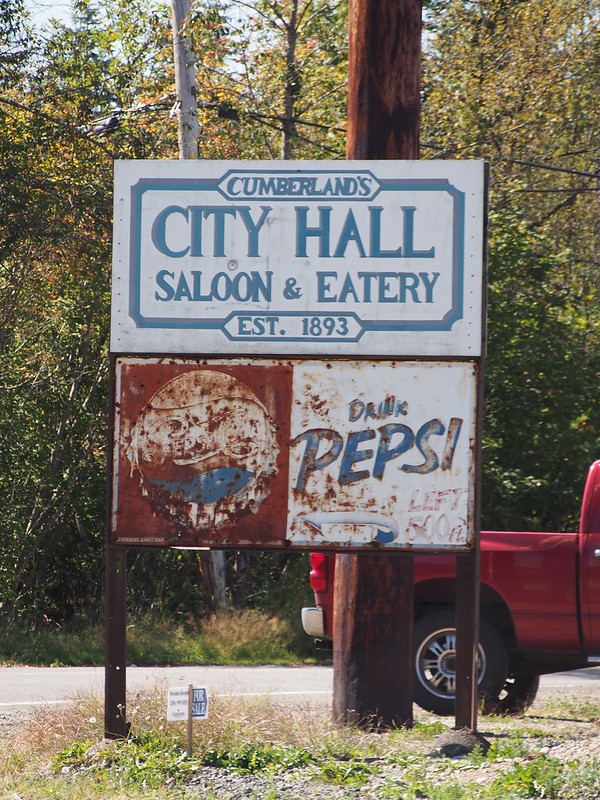
On past rides, I would take Cumberland Road instead. The difference can be seen below.
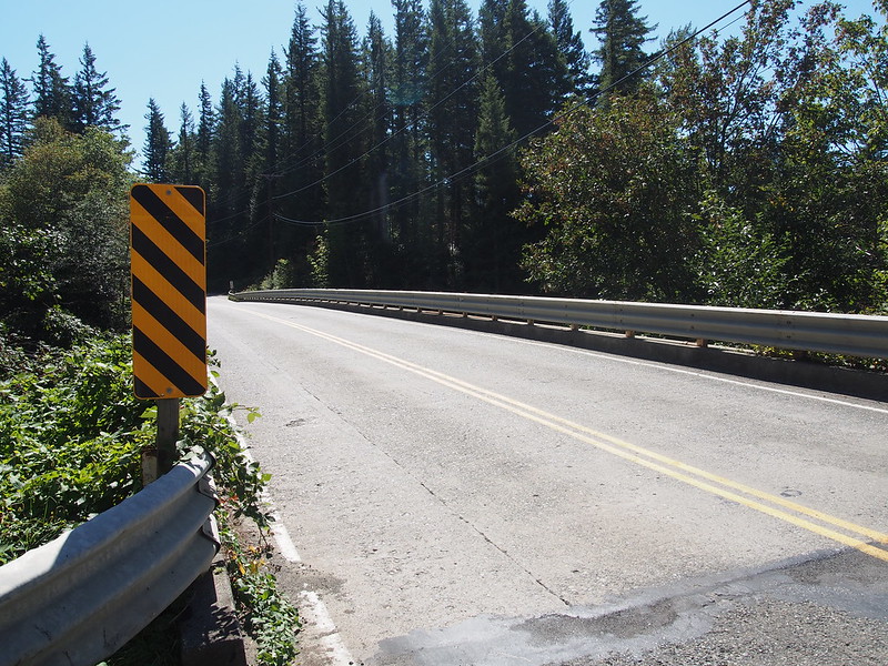
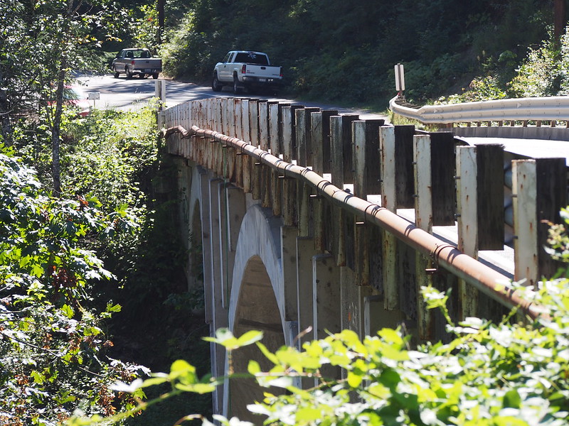
Next time through the area, I plan to make use of Green River Gorge Road so I can check out the sweet bridge. In fact, I could swear one of the points of this ride was to see it, but I guess I messed up the route.
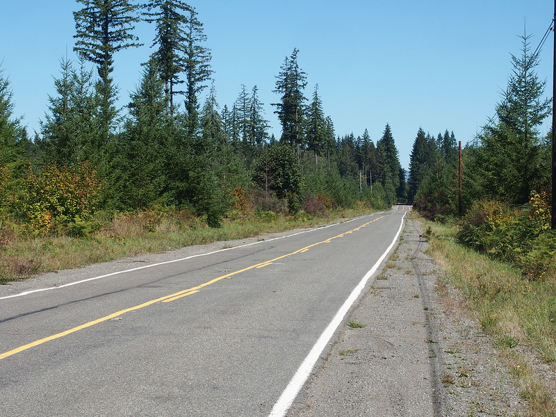
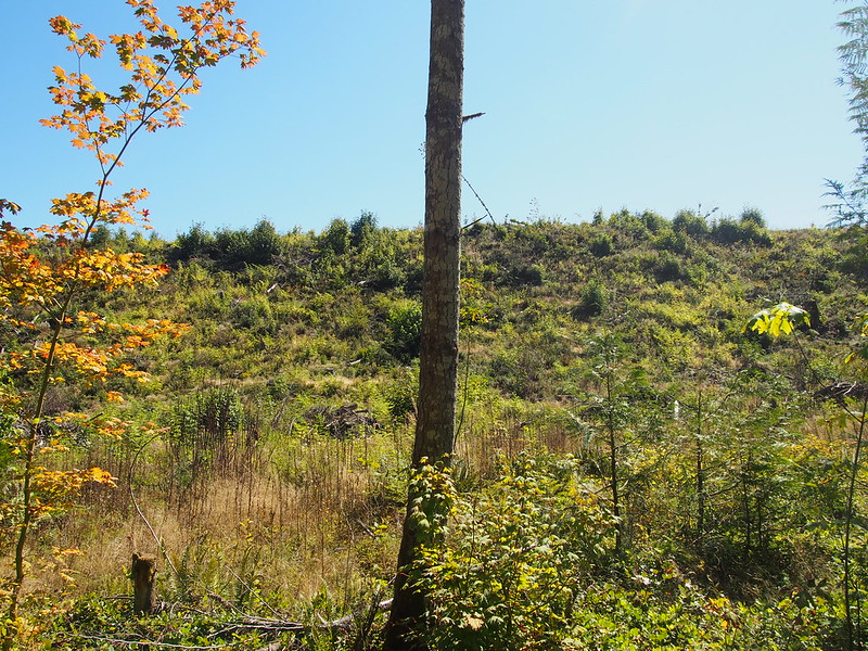
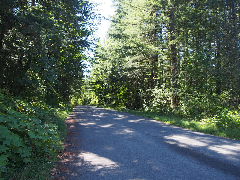
It really reminded me of my rides through other areas that had been deforested in the past.
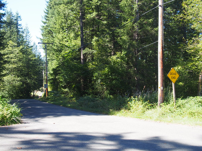
The route told me to take a shortcut along some very minor roads, but I didn't pay attention and stuck to the main road instead. Considering the "DEAD END" sign at the other end, that was probably a good move.
I saw all sorts of cyclists out there. One teenager on a BMX bike was collecting cans on the side of the road.
I then rejoined the route I knew.
Another bit of driver 'kindness.'
One driver suddenly stopped in the middle of the road after a steep hill for seemingly no reason.
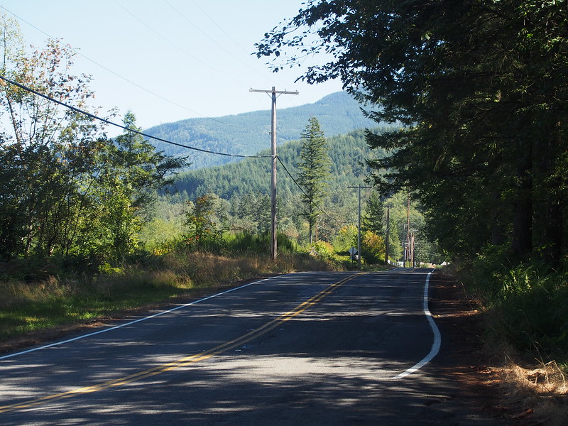
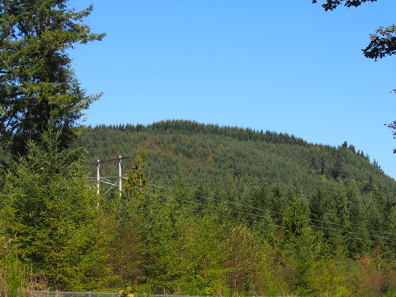
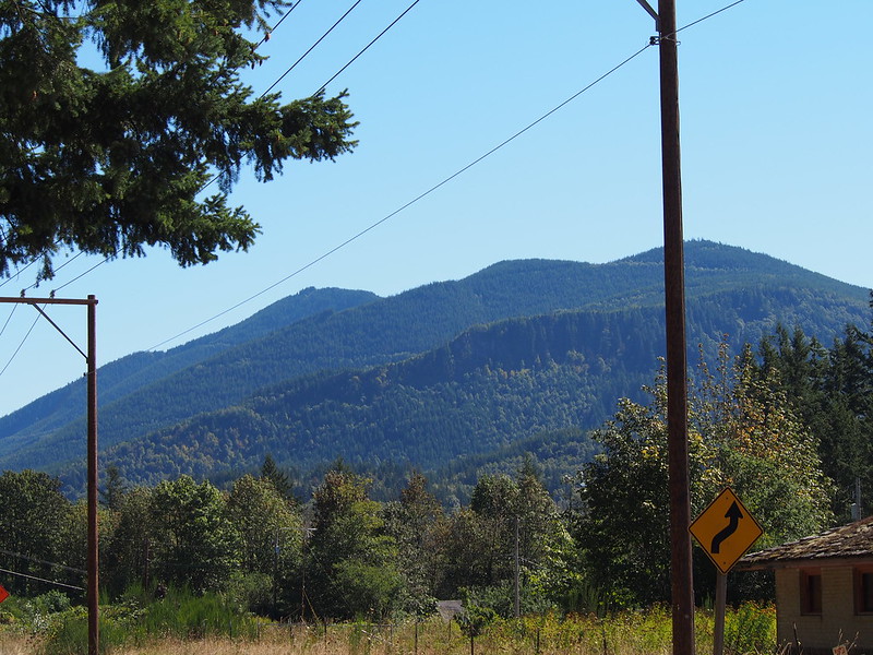
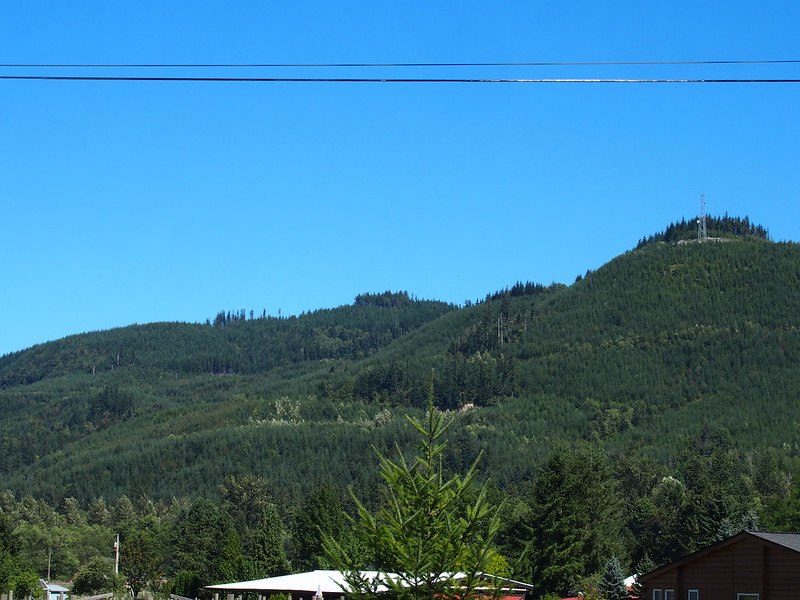
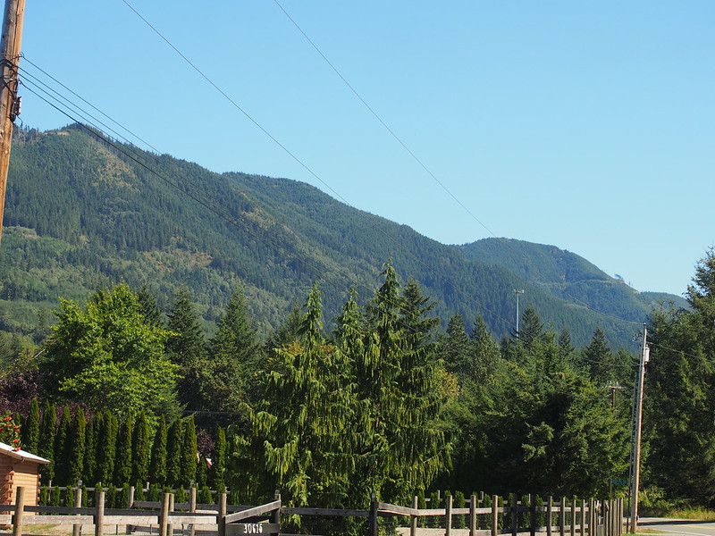
And then I rounded the eastern side of Sugarloaf Mountain, whole peak does kind of look like a sugarloaf.
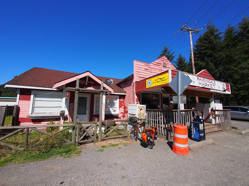
I stopped in Ravensdale for some ice cream.
From there, I headed straight west toward Maple Valley, and found something distasteful.
To my disgust, someone built up a gated housing development out near Sugarloaf Mountain. This is such a stupid fad!
The area really does remind me of the blight that is unincorporated Pirce County today.
Maple Valley reminds me too much of unincorporated Pierce County. After all, if it's called 'wilderness,' it must be proper forest.
— 竹下憲二 (@takeshita_kenji) September 6, 2014
From the Summit area, I headed north and downhill to the Cedar River Trail, where I finally got mobile phone reception.
I've been in areas where cloud services weren't very useful to me.
— 竹下憲二 (@takeshita_kenji) September 6, 2014
My route took me along the trail all the way to Renton. It was similar to the Foothills Trail in nature, except with fewer cyclists and more beachgoers.
A lot of families were having beach fun in the Cedar River.
— 竹下憲二 (@takeshita_kenji) September 7, 2014
I had no idea that the Cedar River was so popular.
When I got to Renton, I had a bit of trouble.
My directions are telling me to take a trail that doesn't exist.
— 竹下憲二 (@takeshita_kenji) September 6, 2014
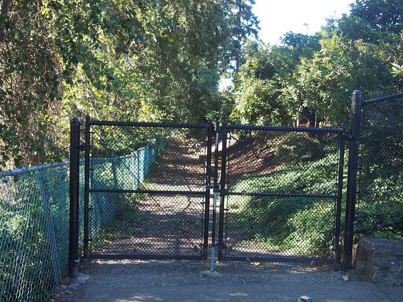
The actual route goes through the park, but it was closed so I had to meander around a bit to locate a path through. There was some on-street stuff, too.
I eventually made it to the Lake Washington Loop route (OpenCycleMap said this bit of trail doesn't connect, but it does). I took the route to The Landing, then stopped at a Target for water and a 5 Hour Energy thing.
Need a small caffeine boost. (@ Target in Renton, WA) https://t.co/QbjJDYD5Tk
— 竹下憲二 (@takeshita_kenji) September 6, 2014
Part 3: Back Over
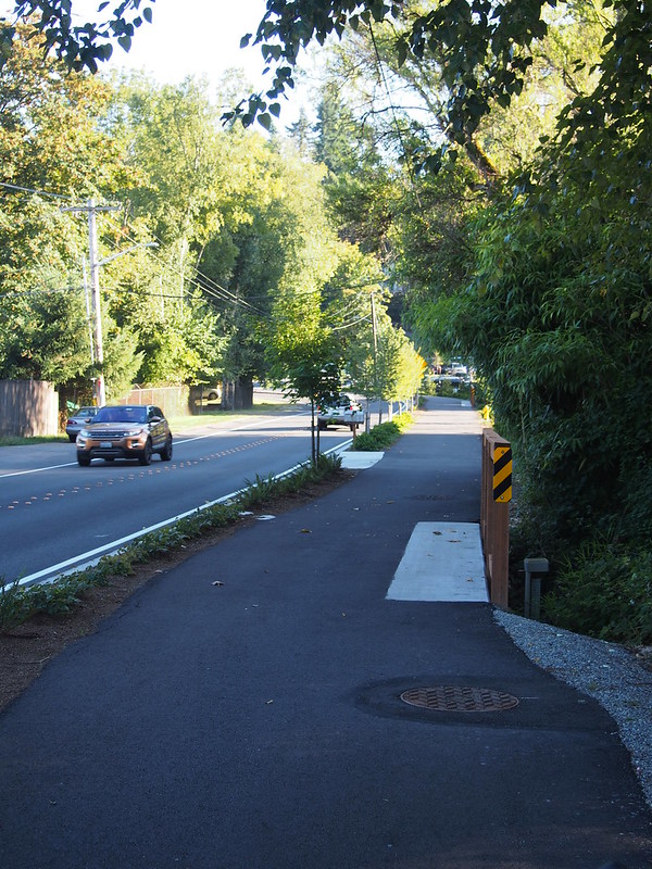
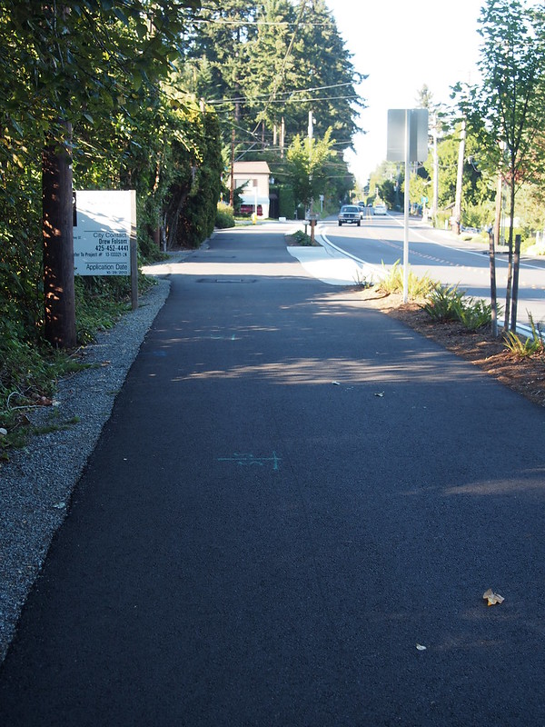
I took the Lake Washington Loop route north from there until the I-90 Trail, then climbed that and the associated bike lane over the ridge. I got lost around Eastlake P&R, but found my way and dropped down to the West Lake Sammamish Parkway where I was pleased to find a fancy new bit of infrastructure.
I got to use the new trail along the West Lake Sammamish Valley Highway. @VeloBusDriver
— 竹下憲二 (@takeshita_kenji) September 7, 2014
I took it until a roundabout near I-90, then took a road that paralelled it to its north (I usually take the one to its south, but it's a little busier). I ended up in an area of Issaquah in which I have never been before, and stopped for coffee there.
Pretty obvious. (@ Tully's Coffee in Issaquah, WA) https://t.co/YqKND3vbdz
— 竹下憲二 (@takeshita_kenji) September 7, 2014
"You can’t build your way out of congestion. It’s the roads themselves that cause traffic." http://t.co/bqnnPZpxfo pic.twitter.com/tJcjhTGmVk
— Brent Toderian (@BrentToderian) August 12, 2014
Part 4: Return Home
From Issaquah, I rode through the rivers of cars to the East Lake Sammamish Parkway, then followed it all the way up to Marymoor Park.
I'm at Marymoor Park - @iheartkcparks in Redmond, WA https://t.co/LX57S1WPXf
— 竹下憲二 (@takeshita_kenji) September 7, 2014
I think part of why my effective range was but is because I didn't get enough riding in during August.
— 竹下憲二 (@takeshita_kenji) September 7, 2014
It was pretty dark along the Sammamish River Trail, but I had the lights for it. My helmet light mainly illuminated the gnats, though.
Gnats everywhere. (@ Wilmot Gateway Park in Woodinville, WA) https://t.co/tj0ue2sEvm
— 竹下憲二 (@takeshita_kenji) September 7, 2014
My legs weren't able to push as hard at that point, but since I had caffeine in my system, I could just spin very fast and not worry about blood oxygen (fast breathing and high heart rate) and keep the same pace.
I may be past my effective range, but I can spin fast at partial power for a long time. #cycling
— 竹下憲二 (@takeshita_kenji) September 7, 2014
Who taught these guys that aiming bike lights right into people's eyes is a good idea?
— 竹下憲二 (@takeshita_kenji) September 7, 2014
I then took my typical route to and along the Burke-Gilman Trail. I was zipping along pretty quickly despite my legs' weakness at that point.
The Fremont Bridge was open when I rode under it, too.
I got home fairly late for my target of 150 miles, but my GPS told me that I had gone an extra nine, probably due to the slightly longer route I took around the Franklin/Cumberland area.
GPS said 159 miles, but I have to clean up the track to get an accurate number. #cycling
— 竹下憲二 (@takeshita_kenji) September 7, 2014
No comments:
Post a Comment